The best running trails around Ceignes
4.6
(59)
2,846
runners
164
runs
Jogging routes around Ceignes offer a diverse natural landscape in the Ain department, within the Auvergne Rhône-Alpes region of France. The area is characterized by the rolling hills of the Monts Berthiand, part of the larger Jura mountains, providing varied terrain for runners. Joggers can explore routes that wind through verdant forests, lush valleys, and past sparkling rivers. This dynamic environment provides a range of paths suitable for different fitness levels.
Best jogging routes around Ceignes
- The most popular jogging…
Last updated: June 27, 2026
5.0
(1)
56
runners
22.3km
03:35
1,050m
1,050m
Hard run. Very good fitness required. Sure-footedness, sturdy shoes and alpine experience required.
30
runners
22.1km
02:49
670m
670m
Hard run. Very good fitness required. Sure-footedness, sturdy shoes and alpine experience required.

Sign up for free
17
runners
10.5km
01:06
60m
50m
Moderate run. Good fitness required. Mostly paved surfaces. Suitable for all skill levels.
15
runners
25.3km
03:26
790m
790m
Hard run. Very good fitness required. Mostly paved surfaces. Suitable for all skill levels.
4.0
(1)
9
runners
6.80km
00:46
100m
100m
Moderate run. Good fitness required. Mostly paved surfaces. Suitable for all skill levels.
Get access to more routes and recommendations from other explorers.
Sign up for free
Already have an account?
Our route recommendations are based on thousands of hikes, rides, and runs completed by other people on komoot.
Start today with a free account
Your next adventure awaits.
Login or Signup

Tips from the Community

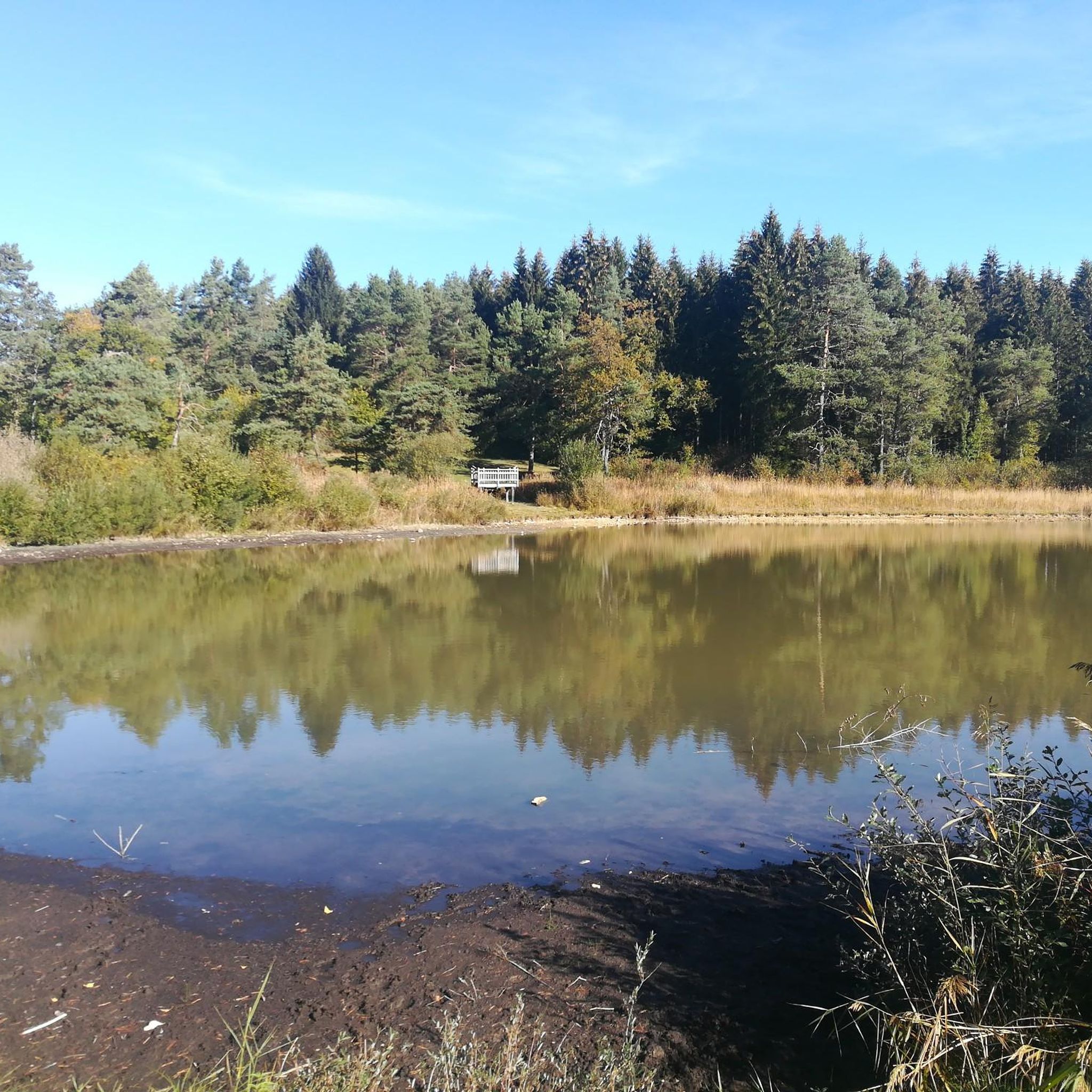
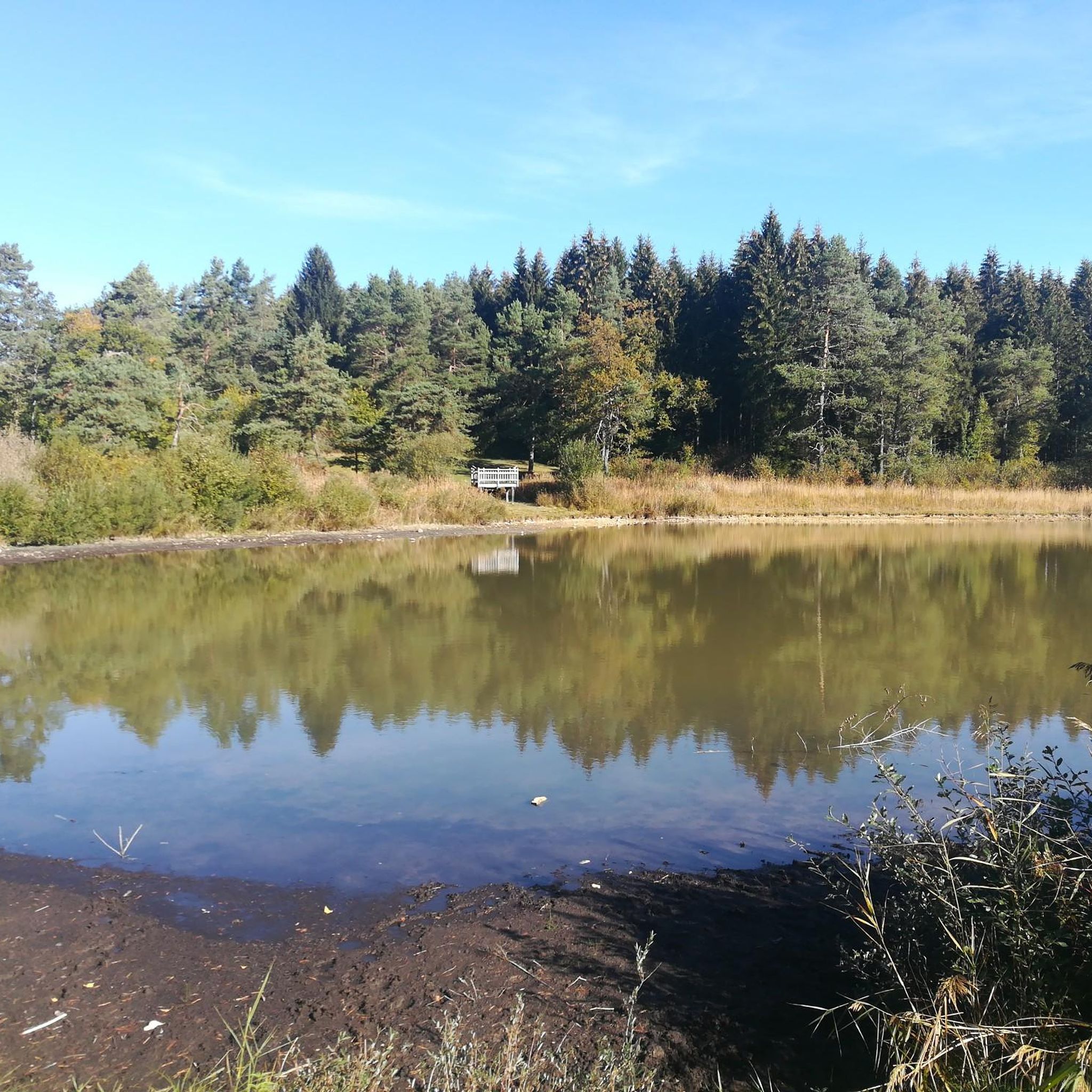
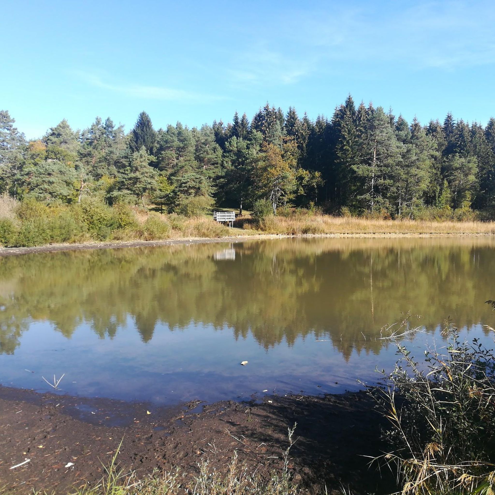
The Lac de Nantua is a superb body of water of 141 hectares. In the heart of the Jura, it offers an ideal setting for practicing a multitude of sports. It is even possible to swim in its waters.
1
0

Unfortunately I was unlucky with the weather, but even as I drove past the place looked very nice, lots of grass and a place to swim.
0
0

Still tracks but very nice route with a nice climb
1
0

The Chemin des Fècles offers a superb route. As you follow this path which passes from deep woods to steep cliffs, be extremely careful not to go too far to the edge of the void. Above all, respect the safety instructions.
1
0


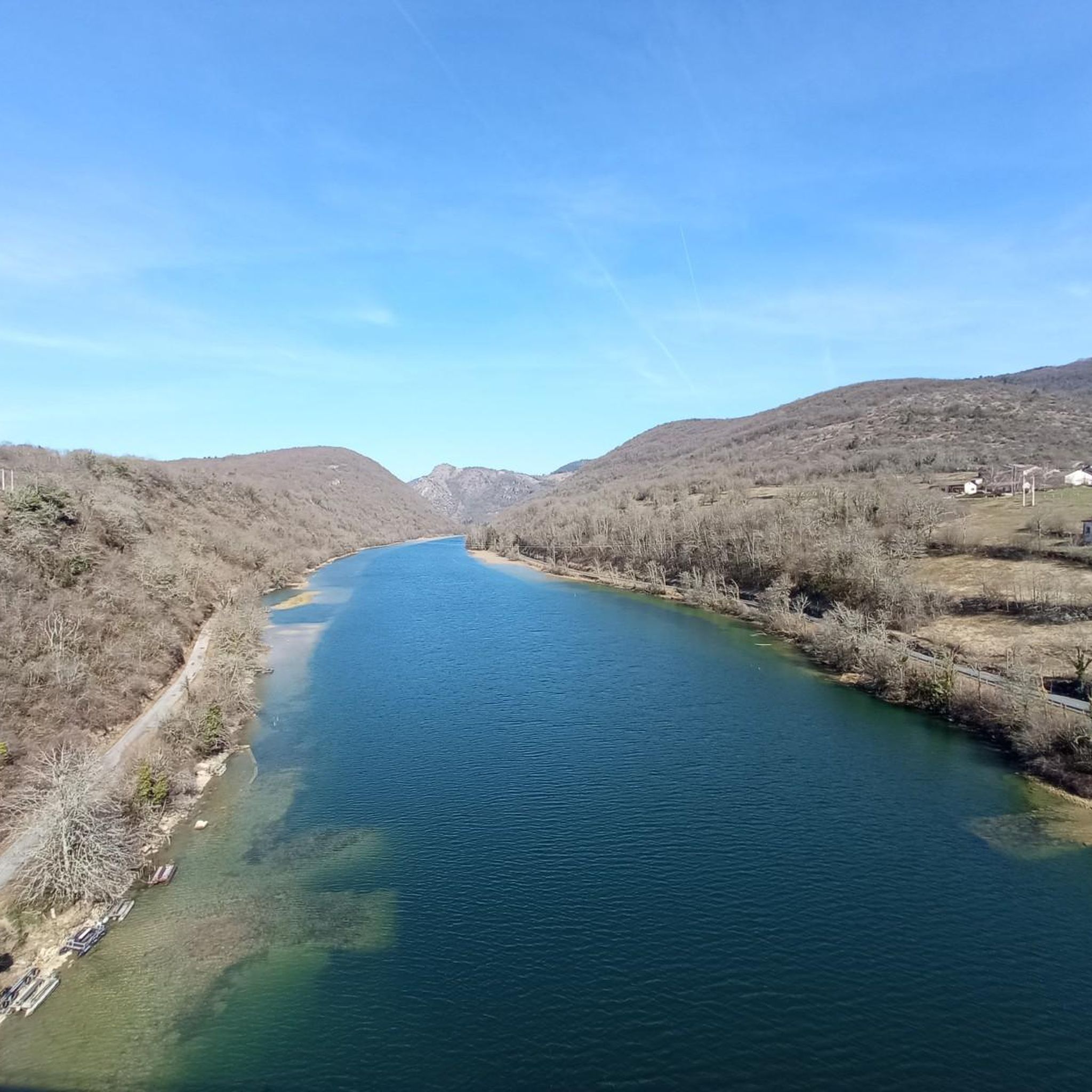
Great view of the Lac from Belvedere.
2
0

Perfect for an overnight stop for bike packing trips. The location is excellent, right by the lake. There are beautiful landscapes and it is close to the shops and restaurants of the village.
4
0

At 300 meters, overlooking Lake Nantua, you can appreciate the colors of the water and the extent of its 41 hectares.
3
0
Frequently Asked Questions
How many running routes are available around Ceignes?
There are over 150 running routes around Ceignes, offering a wide variety of options for all fitness levels, from easy paths to challenging long-distance runs.
What kind of terrain can I expect on the running trails in Ceignes?
The region around Ceignes is characterized by the rolling hills of the Monts Berthiand, part of the Jura mountains. You can expect routes that wind through verdant forests, lush valleys, and offer breathtaking panoramic views. Some trails may also feature sparkling rivers and even hidden waterfalls, providing a dynamic and scenic environment.
Are there any easy or beginner-friendly jogging routes in the area?
Yes, Ceignes offers a good selection of easier routes. There are 12 routes classified as 'easy' and 70 as 'moderate'. For a moderate option, consider the Running loop from Saint-Martin-du-Frêne, which is about 4.2 miles (6.8 km) with manageable elevation.
Are there any challenging long-distance running trails around Ceignes?
Absolutely. For those seeking a challenge, Ceignes has 68 routes classified as 'difficult'. A notable option is the Belvédère des Roches – Château de La Cueille loop from Barrage d'Allement, a 15.7 miles (25.3 km) trail leading through mountainous terrain with significant elevation gain and panoramic viewpoints.
What natural features or landmarks can I see along the running routes?
As you run, you might encounter diverse natural features. The area is known for its forests, valleys, and views of the Monts Berthiand. Nearby attractions include the stunning Lake Nantua, the impressive Cerdon Caves, and the picturesque Cascade de la Pisse Vache. You may also find viewpoints like the Jarbonnet Rocks offering expansive vistas.
Are there any circular running routes available?
Yes, many of the running routes around Ceignes are designed as loops, allowing you to start and finish at the same point. For example, the Running loop from Maillat is a moderate 3.8 miles (6.1 km) circular path.
What do other runners enjoy most about jogging in Ceignes?
The running routes in Ceignes are highly rated by the komoot community, with an average score of 4.4 stars from over 50 reviews. Runners often praise the varied terrain, the beautiful natural landscapes, and the well-marked footpaths that allow for exploration of the wild beauty of the surrounding area.
Is Ceignes a good destination for family-friendly running or walking?
Yes, the extensive network of footpaths around Ceignes includes options suitable for families. While some routes are challenging, there are easier, accessible paths that can be enjoyed by various fitness levels, making it possible to find a suitable route for a family outing.
Are there specific rules for dog-friendly running trails in Ceignes?
While many trails in natural areas are generally dog-friendly, it's always recommended to keep your dog on a leash, especially in protected areas or near wildlife. Always clean up after your pet to maintain the pristine condition of the trails.
Is parking readily available near the trailheads in Ceignes?
Parking availability can vary by trailhead. Many popular starting points for trails, especially those leading to significant natural attractions or villages, typically have designated parking areas. It's advisable to check specific route details on komoot for information on parking at the start of your chosen run.
Can I access running routes in Ceignes using public transport?
Access to trailheads via public transport in rural areas like Ceignes can be limited. While some larger towns nearby might have bus services, direct public transport to many specific trail starting points might not be available. Planning your route in advance and checking local transport schedules is recommended.
Are there any waterfalls to see while running in the Ceignes area?
Yes, the region boasts natural water features. While not directly within Ceignes, nearby natural sites include the picturesque Cascade de la Pisse Vache, offering a beautiful sight for those willing to venture slightly further.
What is the best time of year to go running in Ceignes?
Ceignes offers a captivating setting for outdoor activities throughout the year. Spring and autumn provide pleasant temperatures and vibrant scenery, while summer allows for longer daylight hours. Even winter can be beautiful, though some higher elevation trails might require appropriate gear due to snow or ice.
Most popular attractions around Ceignes

Get inspired with the komoot mobile app


Explore more
Browse the best Running Trails & Routes in other regions.
