The 16 Most Amazing Peaks around Longchaumois
Best mountain peaks around Longchaumois are found within the Jura Mountains in eastern France. The village of Longchaumois is situated in a mountainous landscape, with elevations ranging from 470m to 1411m. This area provides numerous elevated points and panoramic viewpoints, serving as a base for exploring the higher elevations of the surrounding Jura massif. Visitors can experience a rich mountain peak experience through its natural landscape and accessible trails.
Best mountain peaks around Longchaumois
- The most popular mountain peaks is…
Last updated: August 23, 2026
La Dôle Summit
Highlight • Summit
Translated by Google •
Tip by

Col de Porte (Jura)
Highlight • Mountain Pass
Translated by Google •
Tip by

Sign up now to discover places like this
Get recommendations on the best single tracks, peaks, & plenty of other exciting outdoor places.
Sign up for free
Grand Montrond
Highlight • Summit
Translated by Google •
Tip by

Mont Sâla Summit
Highlight • Summit
Tip by

Le Noirmont Summit
Highlight (Segment) • Summit
Translated by Google •
Tip by
Sign up for free to discover even more peaks around Longchaumois.
Sign up for free
Already have an account?
Start today with a free account
Your next adventure awaits.
Login or Signup
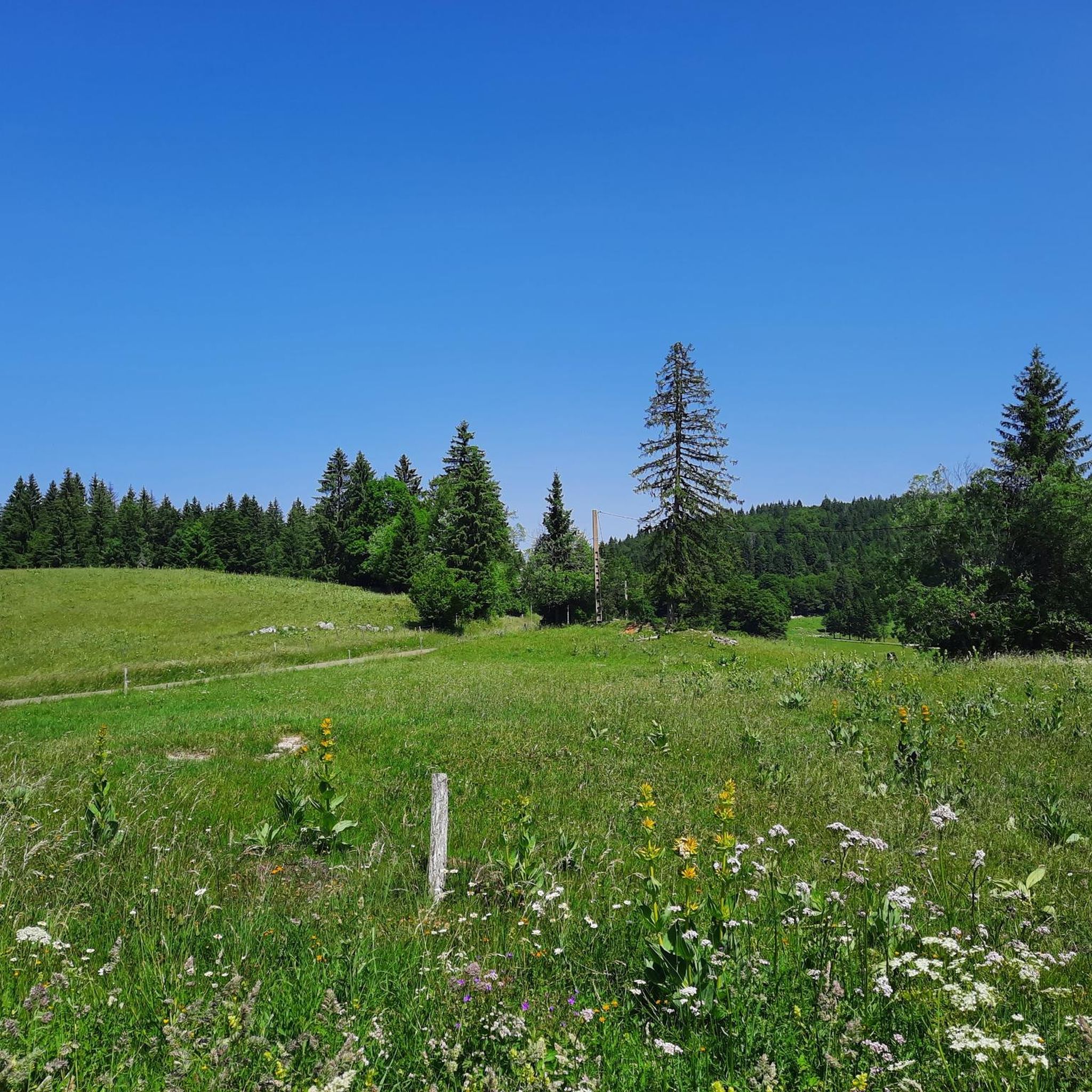
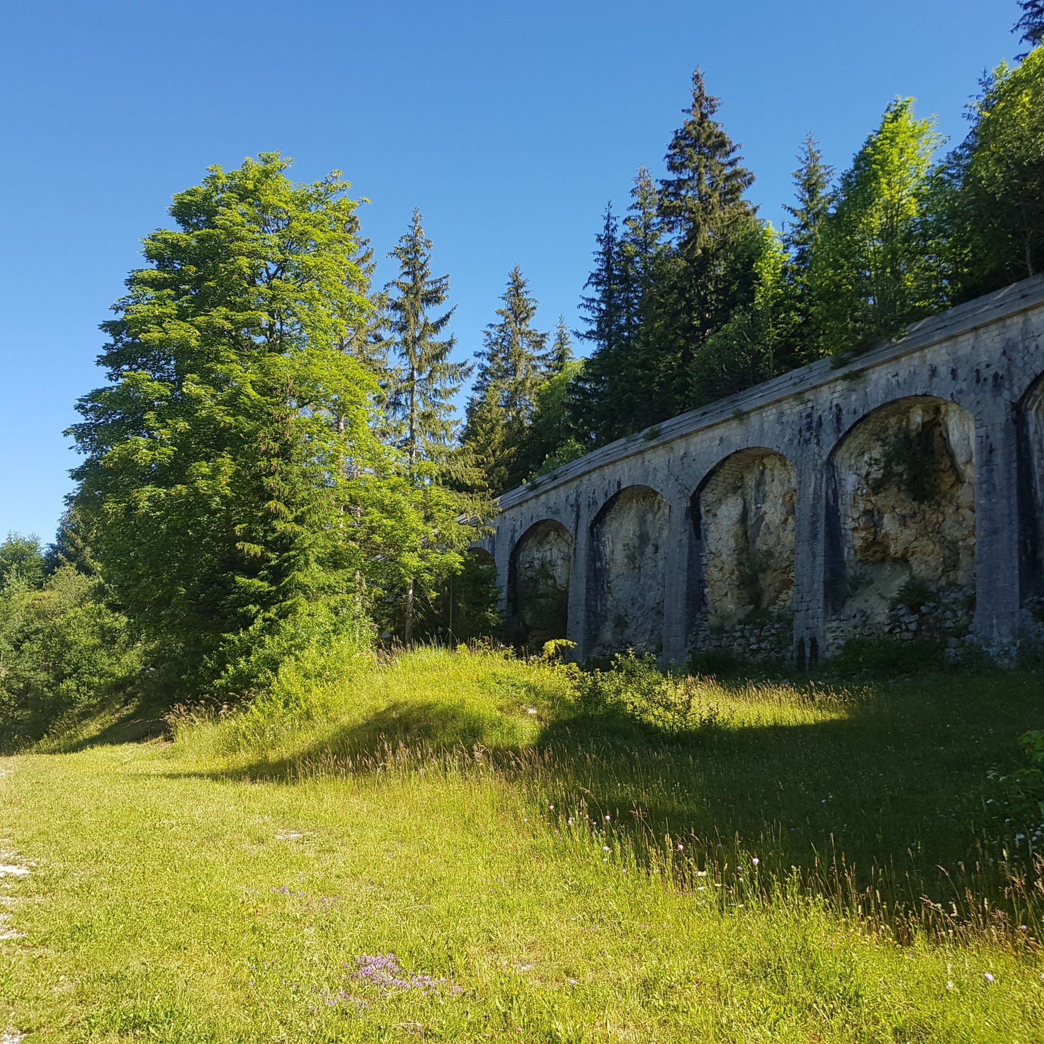
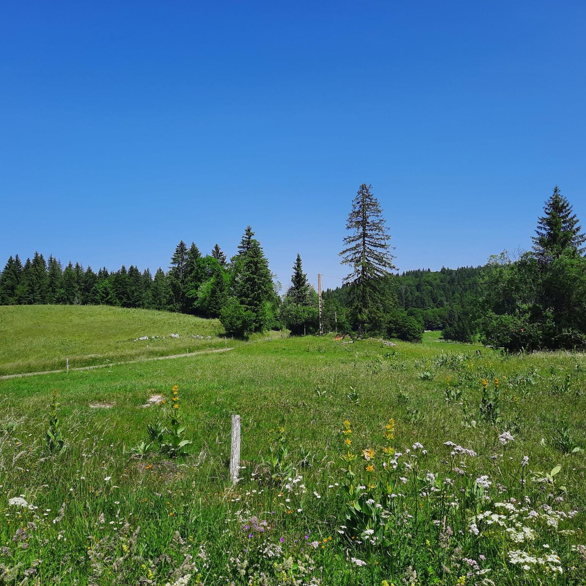

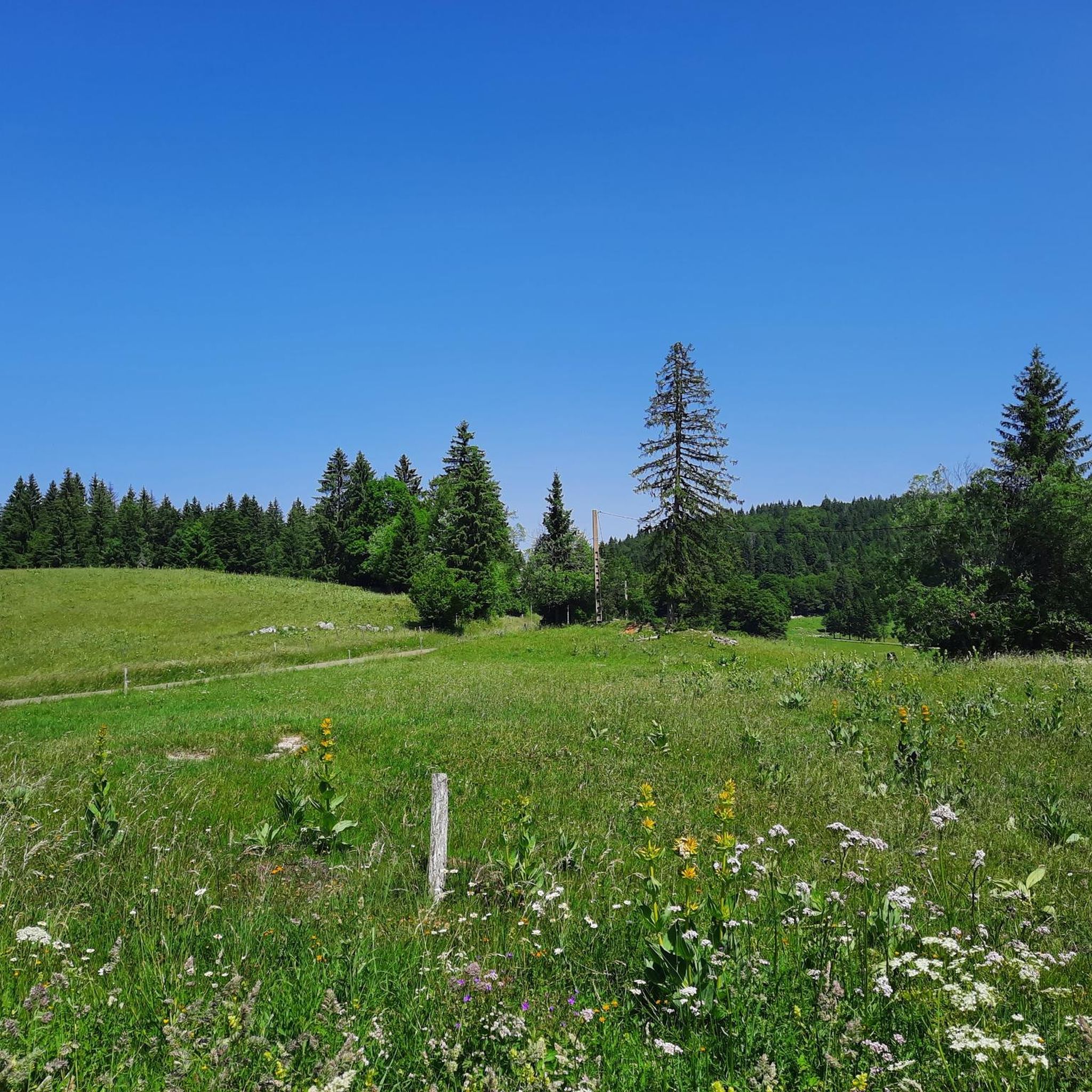
Tips from the Community

Greenery, small trail path, wild nature, everything is there to enjoy a breath of fresh air
1
0

Magnificent view of the Alps on a clear day. Sometimes a sea of clouds spreads across the valley
0
0

Great winter hike with a lot of snow. Snowshoes very recommended at times. 11km 5h of pure sporty pleasure
0
0

Beautiful section of the Jura Ridge Trail
5
1
Beautiful mountain range with a wonderful panorama
5
1

Fantastic view - fantastic path. I was there for the first time in October 1976.
1
0

This magnificent summit offers you a panoramic view of the Jura and the surrounding Swiss and French landscapes. The Noirmont region is known for its unique alpine flora and fauna.
1
0
Frequently Asked Questions
What are the most notable elevated points and viewpoints around Longchaumois?
While Longchaumois itself is a base for exploring the Jura Mountains, several prominent elevated points and viewpoints offer stunning panoramas. These include the La Dôle Summit, known for its magnificent views of Lake Geneva, and Grand Montrond, which provides a 360-degree panorama including Lake Geneva and Mont Blanc. The Col de Porte (Jura) is a border pass with views of Mont Blanc, while Mont Sâla Summit offers incredible views of the surrounding Jura mountains and Lake Geneva. Additionally, the Belvédère de Repenty provides spectacular and atypical views of the Combe des Arcets and distant peaks.
What kind of hiking trails can I find near Longchaumois?
The region around Longchaumois offers a variety of hiking trails suitable for different skill levels. You can find intermediate to challenging routes leading to summits like La Dôle Summit and Grand Montrond. Mont Fier, accessible from Longchaumois, offers a moderate ascent through woods. For more detailed hiking options, you can explore the Mountain Hikes around Longchaumois guide, which includes routes like the La Dôle loop from Les Pralies.
Are there family-friendly mountain walks around Longchaumois?
Yes, there are options for family-friendly walks. The hike to the Belvédère de Repenty, for instance, is relatively easy and typically takes about 40 minutes with a modest elevation gain, making it accessible for many. While specific 'family-friendly' categories aren't listed for all peaks, many trails offer varying lengths and difficulties, allowing families to choose routes that suit their abilities.
What outdoor activities are available in the Longchaumois area besides hiking?
Beyond hiking, Longchaumois and its surroundings are excellent for various outdoor activities. In colder months, the area transforms into a winter wonderland, perfect for cross-country skiing, snowshoeing, and ski touring. For cycling enthusiasts, there are gravel biking opportunities, as detailed in the Gravel biking around Longchaumois guide. Running trails are also popular, with options like the Running loop from Longchaumois, which you can find in the Running Trails around Longchaumois guide.
When is the best time to visit the mountain peaks around Longchaumois?
The best time to visit depends on your preferred activities. For hiking and enjoying panoramic views, late spring to early autumn (May to October) generally offers pleasant weather. During these months, trails are typically clear of snow, and the landscapes are vibrant. For winter sports like cross-country skiing and snowshoeing, the colder months from December to March are ideal, as the area receives significant snowfall.
What kind of views can I expect from the mountain peaks in this region?
The mountain peaks and viewpoints around Longchaumois offer breathtaking and expansive views. From many summits, you can expect panoramic vistas of the surrounding Jura landscape, including vast forests, pastures, and on clear days, distant Alpine peaks like Mont Blanc. Highlights such as La Dôle Summit and Grand Montrond specifically boast views of Lake Geneva and the Alps.
Can I observe wildlife in the mountains near Longchaumois?
Yes, the Jura Mountains around Longchaumois are home to diverse flora and fauna. Areas like Le Noirmont Summit are known for their unique alpine flora and fauna. While not directly in Longchaumois, the broader region offers opportunities to observe local wildlife, with trails like the Sentier des Chamois hinting at the presence of chamois and other mountain animals.
What makes Mont Fier a significant elevated point near Longchaumois?
Mont Fier, at 1282m, is a significant elevated point accessible via hiking routes from Longchaumois. It's notable for its unique geological formation as a 'synclinal perché' (perched syncline) and offers a rewarding panorama. From its summit, hikers can enjoy views of La Dôle, Le Noirmont, Mont Tendre, Lac des Rousses, and even some peaks of the Swiss Alps. You can find more information about Mont Fier on Wikipedia.
What do visitors enjoy most about the mountain peaks around Longchaumois?
Visitors frequently praise the stunning natural beauty and the expansive panoramic views offered by the peaks. The tranquility and sense of escape from urban areas are also highly valued. Many appreciate the diverse outdoor activities, from hiking and trail running to winter sports, and the opportunity to immerse themselves in the Jura Mountains' peaceful environment. The community has shared over 210 photos and given more than 360 upvotes for these highlights, indicating a strong positive experience.
Are there any challenging mountain climbs near Longchaumois?
Yes, for those seeking a challenge, several routes in the area are rated as difficult. For instance, the La Dôle loop from Les Pralies, found in the Mountain Hikes around Longchaumois guide, is classified as difficult. Similarly, some highlights like La Dôle Summit and Grand Montrond are categorized as challenging, offering rewarding ascents for experienced hikers.
How can I access the trailheads for mountain hikes from Longchaumois?
Longchaumois serves as an excellent base for exploring the higher elevations. While specific public transport details to all trailheads are not provided, many routes, including those to Mont Fier, can be accessed directly from the village or nearby hamlets like Rosset. Parking information for specific trailheads would typically be found in detailed route descriptions on platforms like komoot.
What is the highest point in the immediate vicinity of Longchaumois?
Within the communal boundaries of Longchaumois, the highest point is unnamed but contributes to the scenic elevation of the area, reaching 1411m. While not a distinct named peak in the traditional sense, it forms part of the mountainous landscape that visitors can explore.
Most popular routes around Longchaumois
Most popular attractions around Longchaumois

Get inspired with the komoot mobile app


Explore more
See even more amazing summits around Longchaumois with these guides:
