The best running trails around Champfromier
4.5
(55)
2,730
runners
268
runs
Jogging routes around Champfromier are set within the diverse landscapes of the Jura Mountains in eastern France. The region features varied terrain, including extensive forests, deep valleys like the Valserine, and significant elevations. Runners can explore paths ranging from accessible trails to more challenging routes with notable elevation gains.
Best jogging routes around Champfromier
- The most popular jogging route is Viewpoint of Roche Fauconnière – Le Relais Nordique loop from Giron, a 8.0 miles (12.8 km) trail that takes…
Last updated: June 28, 2026
50
runners
12.8km
01:37
300m
300m
Moderate run. Good fitness required. Mostly paved surfaces. Suitable for all skill levels.
42
runners
14.9km
02:28
930m
930m
Hard run. Very good fitness required. Sure-footedness, sturdy shoes and alpine experience required.

Sign up for free
5
runners
24.9km
03:02
470m
470m
Hard run. Very good fitness required. Mostly paved surfaces. Suitable for all skill levels.
5.0
(1)
21
runners
5.50km
00:46
210m
210m
Hard run. Good fitness required. Sure-footedness, sturdy shoes and alpine experience required.
16
runners
12.4km
01:33
310m
310m
Hard run. Very good fitness required. Mostly paved surfaces. Suitable for all skill levels.
Get access to more routes and recommendations from other explorers.
Sign up for free
Already have an account?
Our route recommendations are based on thousands of hikes, rides, and runs completed by other people on komoot.
Start today with a free account
Your next adventure awaits.
Login or Signup

Tips from the Community

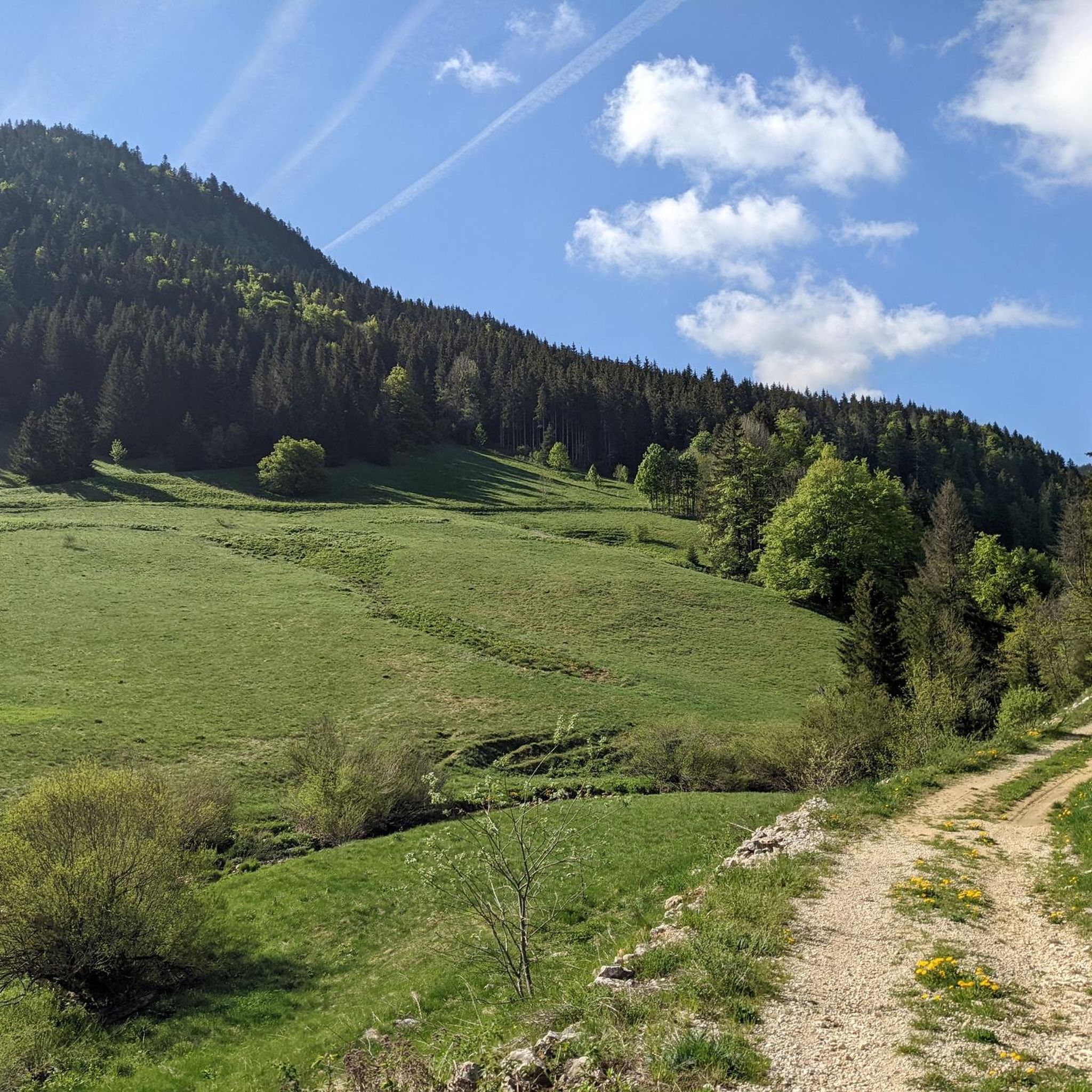
Nestled in pastures at an altitude of 1,000 meters, Giron is the highest (and sunniest!) village in the Ain. Welcoming, with breathtaking views, it is ideal for an overnight stop.
0
0


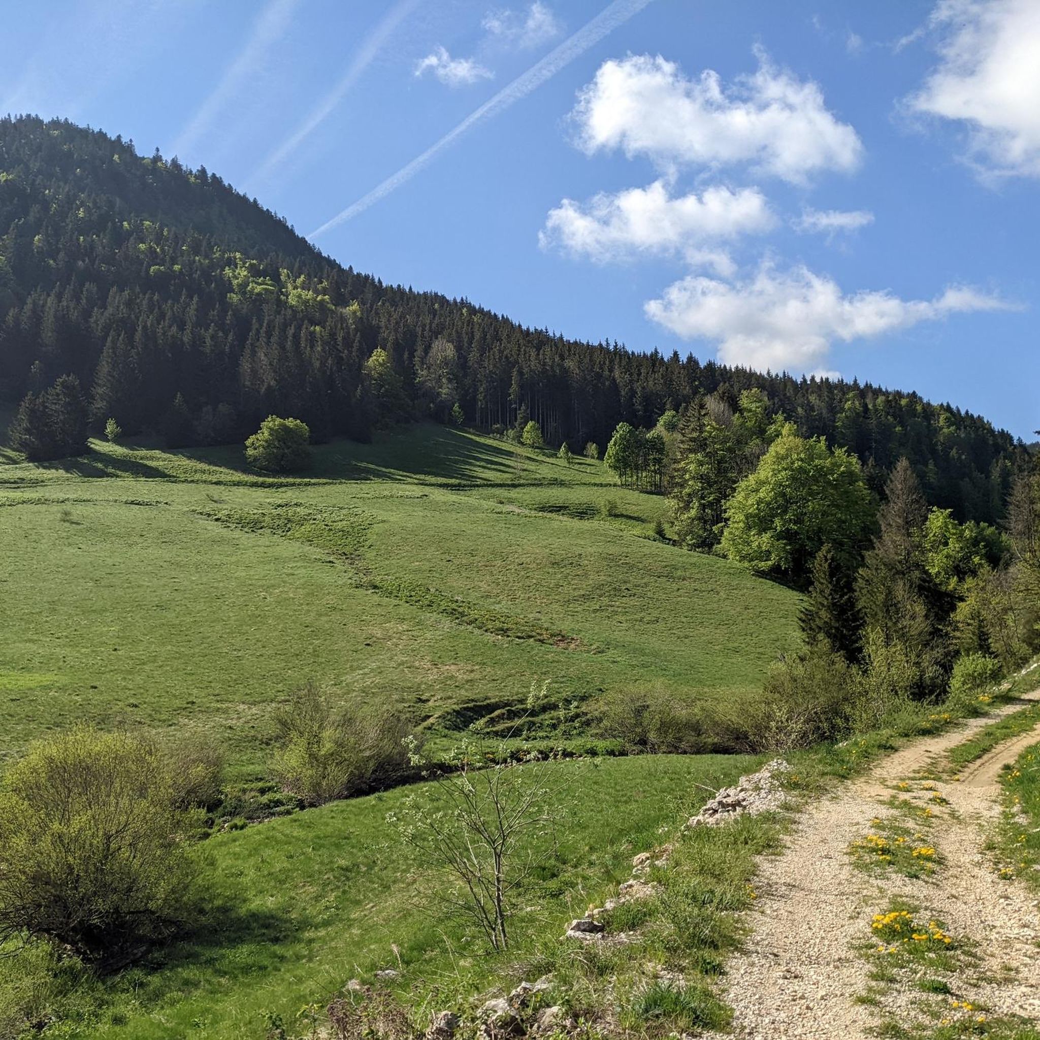
A stronghold of resistance and an ancient milestone on the Sardinian road that led to the Netherlands in the 17th century. A very beautiful view of the Jura Mountains, too.
0
0


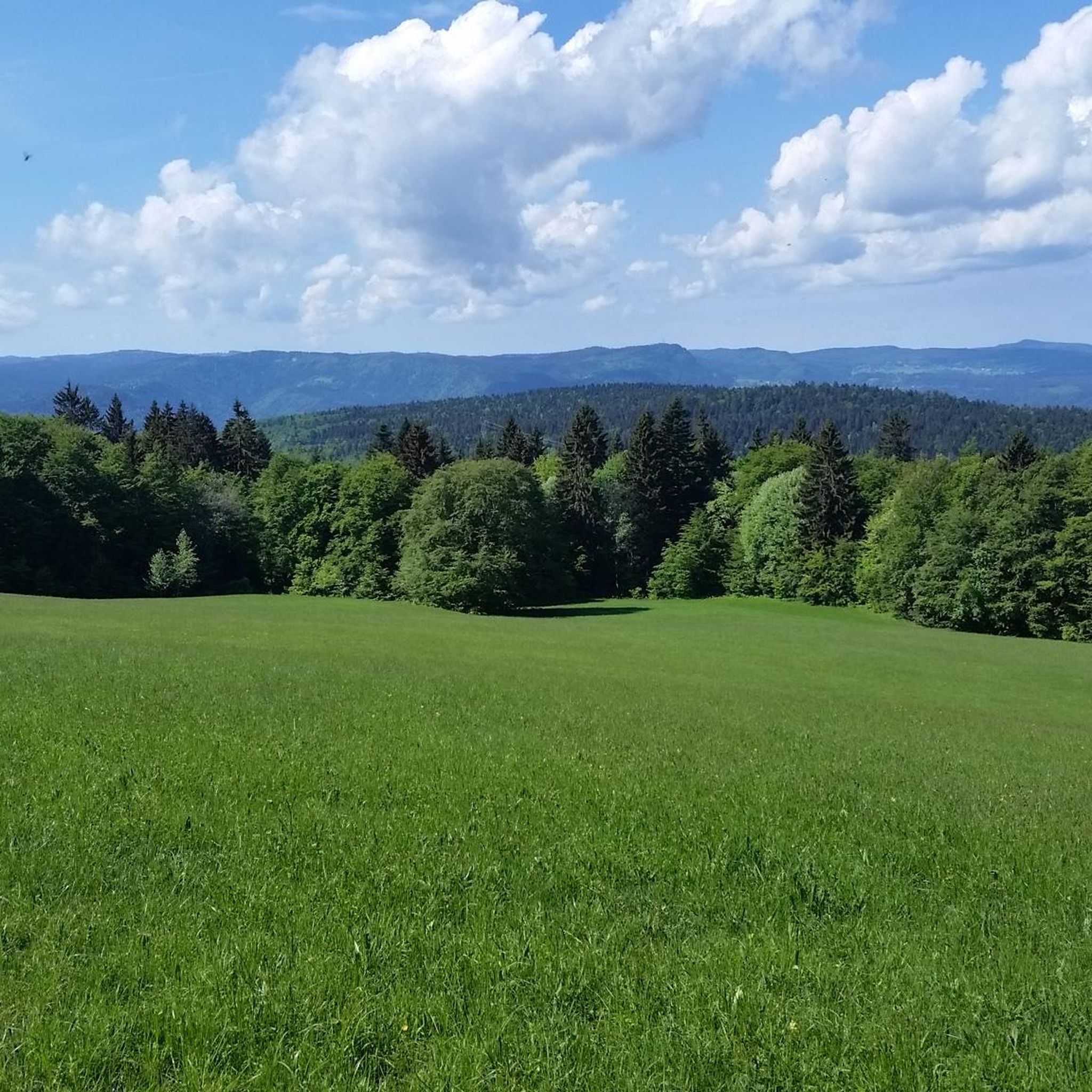
The place is ideal for a picnic and to enjoy the view of the high Jura range.
0
0
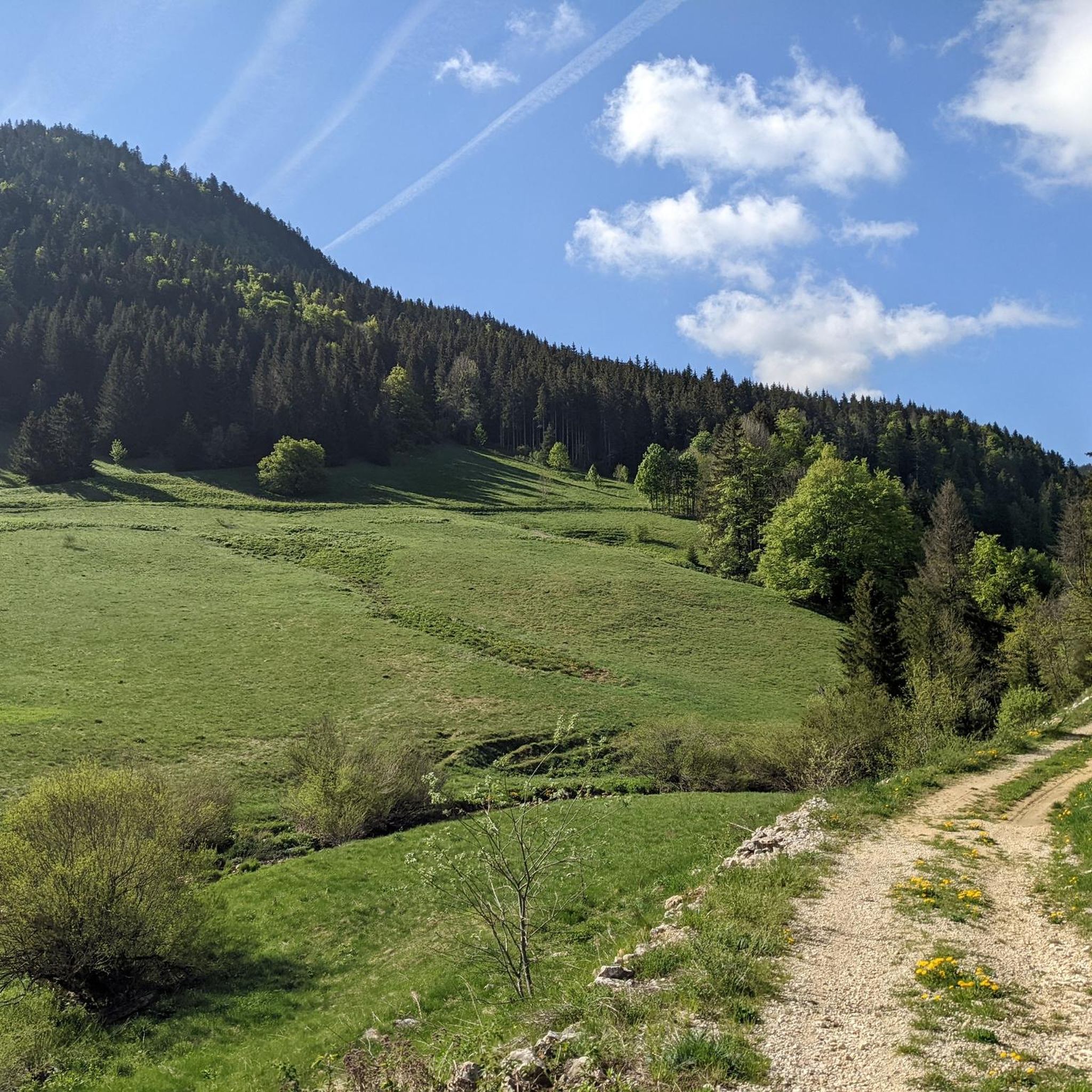
Magnificent small summit with a view of the Alps and the Mont-Blanc massif. Depending on whether you go through the back or over the ridges, the ascent can be easy or technical and tricky. There is a bench at the top to enjoy the view.
1
0

The promontory offers a sublime panorama of the Roche Fauconnière cirque. The site has been classified as a “sensitive natural area” since 1936. The 150 meter high cliff dominates the Semine valley and faces the Orvaz valley.
0
0

The Crêt de Chalam culminates at 1,540 m and offers a view to the east of the Valserine valley, the summit of Reculet, the Mont-Blanc massif and to the south of the Grand Crêt d'Eau and the peaks of Bugey. .
2
0
Frequently Asked Questions
How many running routes are available around Champfromier?
There are over 250 running routes around Champfromier, offering a wide variety of options for all fitness levels. These trails wind through the diverse landscapes of the Jura Mountains, from accessible paths to more challenging ascents.
Are there running routes suitable for beginners or families?
Yes, Champfromier offers several running routes suitable for beginners and families. There are 17 easy routes, many of which feature accessible paths through forests and valleys. The 'Voie du TRAM' route, mentioned in regional research, is a 10 km 'parcours santé' that is also suitable for family walks and running.
Can I find challenging trail running routes in the Champfromier area?
Absolutely. The Jura Mountains surrounding Champfromier are an ideal place for trail running, with 128 difficult routes available. These include challenging ascents to peaks like the Crêt de la Neige and Reculet, offering significant elevation gains and breathtaking views. An example is the Crêt de Chalam loop from Borne au Lion, a difficult 14.7 km path with substantial elevation gain.
What kind of scenery can I expect on these running trails?
Runners in Champfromier can expect diverse scenery, including dense forests, deep valleys like the Valserine, and panoramic views from higher elevations. Routes often feature views of the Rhône River and the Etournel Marshes nature reserve, as well as the majestic Alps and Mont-Blanc massif on clear days. Many trails also pass through pastures and offer chances to observe local wildlife.
Are there any circular running routes?
Yes, many of the running routes around Champfromier are circular, allowing you to start and finish at the same point. For instance, the Viewpoint of Roche Fauconnière – Le Relais Nordique loop from Giron is a popular 12.8 km moderate circular route, and the Falconer's Rock loop from Giron is another well-liked 13.5 km option.
Can I bring my dog on the running trails in Champfromier?
While many trails in the Jura Mountains are dog-friendly, it's always recommended to check specific route regulations, especially within nature reserves or protected areas. Generally, dogs are welcome on leash, but be mindful of local wildlife and livestock. Always ensure your dog is under control and that you clean up after them.
Are there specific routes that offer panoramic views?
Yes, several routes provide magnificent panoramic views, particularly from the higher points in the Jura Mountains. The Crêt de la Neige and Reculet offer stunning vistas of the Alps and Mont-Blanc. The 'View of Cirque des Avalanches loop from Champfromier' is also noted for its magnificent panorama over the Jura mountains. The Viewpoint of Roche Fauconnière – Le Relais Nordique loop from Giron is specifically highlighted for its views over the surrounding landscape.
What are some notable landmarks or attractions near the running paths?
The region around Champfromier is rich in natural and historical landmarks. You might encounter various mountain passes such as Cuvéry Pass or Menthières Pass. There are also several mountain huts like Refuge de la Loge and Le Gralet, which can be points of interest along longer runs. The Cascade de la queue de cheval and various lakes are also within a reasonable distance, adding visual interest to your runs.
Is public transport available to access the running routes?
Champfromier is a small village, and while specific public transport links directly to trailheads might be limited, the region is accessible. For detailed information on public transport options to reach Champfromier or specific starting points for routes, it's best to consult local transport authorities or regional tourism websites. Some routes, like the 'Voie du TRAM', might be more accessible from central points.
Where can I park when going for a run in Champfromier?
Parking availability will vary depending on the specific trailhead. Many routes starting from villages like Champfromier or Giron will have designated parking areas. For routes deeper in the Jura Mountains, look for small parking lots near popular trailheads or mountain passes. Always check local signage for parking regulations.
What is the best time of year to go running in Champfromier?
The Jura Mountains offer excellent running conditions throughout much of the year. Spring and autumn provide pleasant temperatures and vibrant scenery, with fewer crowds. Summer is also popular, though higher elevations can be warm. Winter running is possible, especially on lower-altitude trails, but requires appropriate gear for snow and ice, and some higher routes may be inaccessible. Always check local weather and trail conditions before heading out.
What do other runners say about the trails in Champfromier?
The running routes in Champfromier are highly rated by the komoot community, with an average score of 4.4 stars from more than 40 reviews. Over 3500 runners have used komoot to explore the varied terrain, often praising the unspoilt nature, breathtaking scenery, and the extensive network of trails that cater to different fitness levels.
Most popular routes around Champfromier
Most popular attractions around Champfromier

Get inspired with the komoot mobile app


Explore more
Browse the best Running Trails & Routes in other regions.
