The best road cycling routes around Verjon
4.5
(27)
836
riders
116
rides
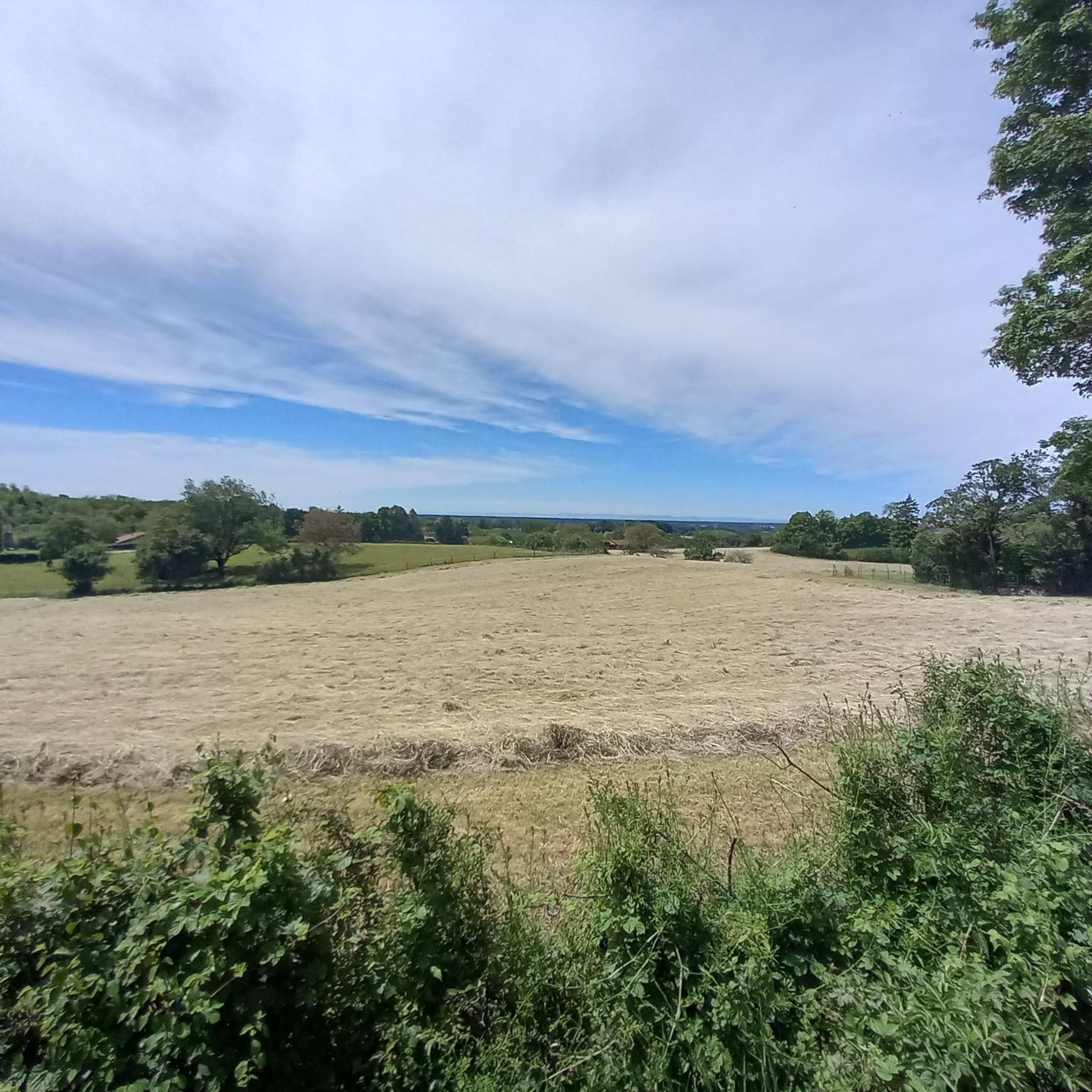
Road cycling routes around Verjon, situated in France's Ain department, traverse a region characterized by varied terrain, including notable climbs and scenic landscapes. The area features prominent summits like Mont Myon, offering panoramic views, and challenging ascents such as Mont July with gradients exceeding 10%. The Revermont region provides a backdrop of natural features, including forests and open meadows, suitable for road cycling.
Best road cycling routes around Verjon
- The most popular road cycling route is Singletrail – Ascension du…
Last updated: August 21, 2026
11
riders
47.3km
02:28
660m
660m
Moderate road ride. Good fitness required. Some segments of this route may be unpaved and difficult to ride.
9
riders
21.6km
01:11
420m
420m
Moderate road ride. Good fitness required. Mostly well-paved surfaces and easy to ride.

Sign up for free
10
riders
94.4km
04:29
1,140m
1,140m
Hard road ride. Very good fitness required. Mostly well-paved surfaces and easy to ride.
4
riders
70.7km
03:52
1,340m
1,340m
Hard road ride. Very good fitness required. Some segments of this route may be unpaved and difficult to ride.
3
riders
47.4km
02:15
500m
500m
Moderate road ride. Good fitness required. Mostly well-paved surfaces and easy to ride.
Get access to more routes and recommendations from other explorers.
Sign up for free
Already have an account?
Our route recommendations are based on thousands of hikes, rides, and runs completed by other people on komoot.
Start today with a free account
Your next adventure awaits.
Login or Signup

Tips from the Community

The bridge separates two departments, the Jura and the Ain. "Iron bridge. For several centuries, the Ain was crossed at Thoirette using a ferry, called Christouphe's ferry, named after the commune where the passenger resided. From 1808 to 1811, the riparian communes contributed to building a bridge in place of this ferry. The project had been drawn up by Mr. Cordier, from Orgelet, an engineer then in charge of directing the works for the Simplon road. Various obstacles opposed the execution of this work. It was not until 1829 that an iron bridge was built, which collapsed in 1843. The Ain department has just replaced it with an iron bridge currently open to traffic". Statistique de la France - 1855 - Ministère de l'Agriculture by Imprimerie Impériale in Paris - p53.
0
0
Located in the hamlet of Thioles, near this river, the menhir generated the toponym « Pierre fiche », without ambiguity. This name, common throughout France, should be compared to « Pierrefitte » or other phrases such as pierre fichée, pierre plantée, pierre levée, pierre longue… Erected on the edge of a cornfield, the menhir measures 3.80 meters in height, about 0.50 meters in thickness and 1.30 meters at its widest. The stone is said to be sunk several meters into the ground. Nothing allows us to confirm the dating of the Simandre menhir, but its shape brings it closer to Burgundian examples dated to the Middle Neolithic (4200 to 3600 BC). Ancient mentions from the 12th century reveal the existence of two other menhirs, neighbours of Pierre Fiche but which were reportedly removed in the 18th century. It could therefore be not an isolated monument, but part of an alignment or a more complex ensemble. There is also mention of a third menhir near the nearby mill. And also of a dolmen that disappeared long ago, near the village of Chavannes-sur-Suran, and whose tiled roof would have given its name to the hamlet of Thioles… In Simandre, it is told that passing fairies planted three cattails in a field which turned into enormous stones… The menhir has also become a place of popular belief linked to fertility: couples wishing to have a child would rub themselves against the stone and pilgrims would scrape it to swallow the dust. The oldest monument classified as a historical monument in the department (March 6, 1888), the megalith is private property but remains easily visible from a hiking trail. https://patrimoines.ain.fr/n/menhir-de-pierre-fiche-a-simandre-sur-suran/n:320
0
0


Great route if you like climbing. Beautiful sections with gradients over 10% 🥵
0
0


pretty flowered village and remarkably, this fountain offers drinking water 👍
1
0
Frequently Asked Questions
How many road cycling routes are available around Verjon?
There are over 120 road cycling routes around Verjon, offering a wide range of options for different skill levels. The komoot community has explored these routes extensively, with over 800 road cyclists using komoot to discover the varied terrain.
What kind of terrain can I expect on road cycling routes near Verjon?
Road cycling around Verjon is characterized by varied terrain, including notable climbs and scenic landscapes. You'll encounter challenging ascents like Mont July, with gradients exceeding 10%, and routes leading to prominent summits such as Mont Myon. The Revermont region provides a beautiful backdrop of natural features, including forests and open meadows.
Are there challenging climbs for experienced road cyclists?
Yes, Verjon offers several challenging climbs. The ascent of Mont July, for instance, features sections with gradients over 10%, providing a significant test for experienced riders. Routes like the Singletrail – Ascension du Mont July loop from Courmangoux are known for these demanding sections. For a longer, difficult ride, consider the Comté Cheese Pastures loop from Villemotier, which features over 1100 meters of elevation gain.
What are the best routes for panoramic views?
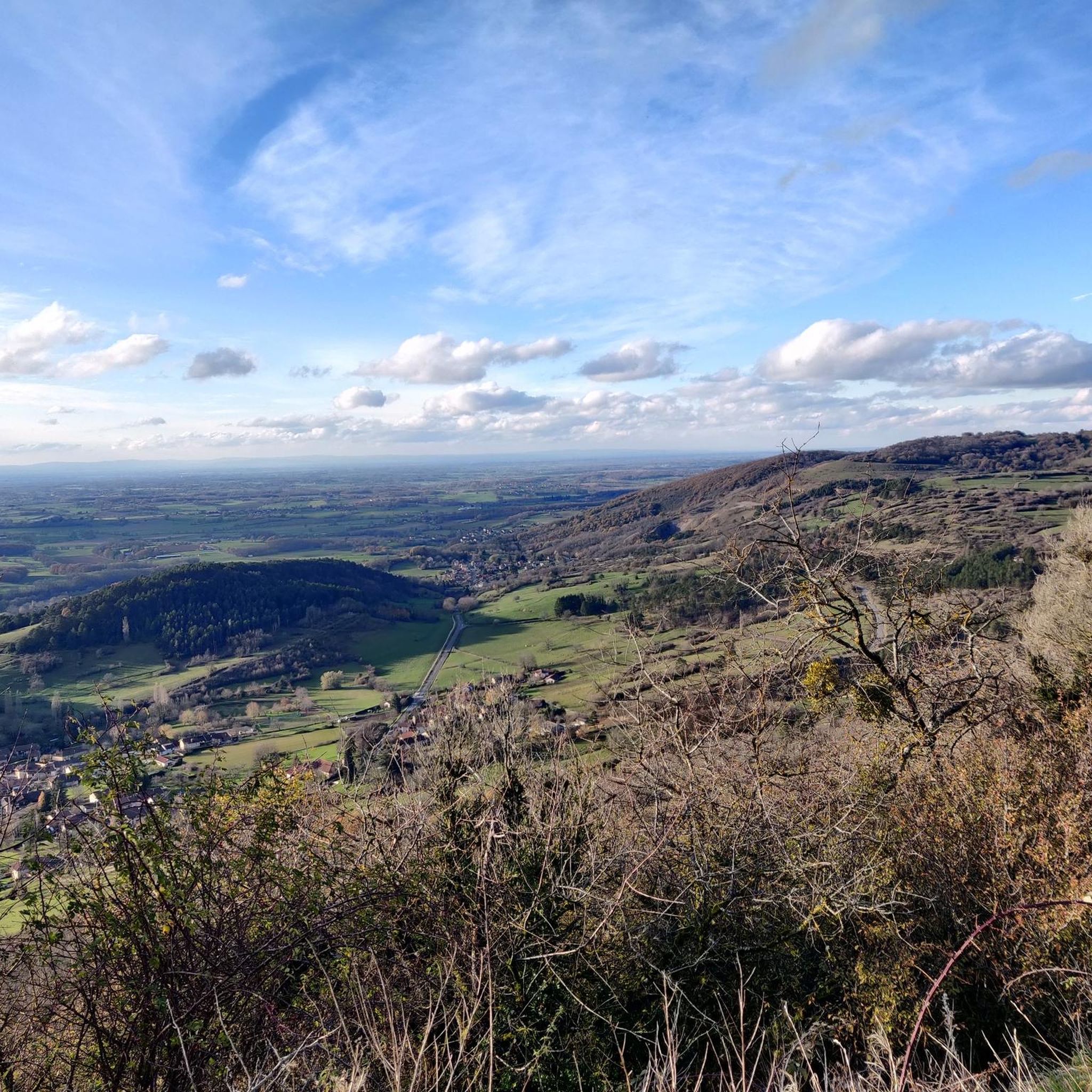
For breathtaking panoramic views, routes that include Mont Myon are highly recommended. Mont Myon, a prominent summit in the Revermont region, offers sweeping 360-degree vistas of the Bresse Plain, the Saône plain, the Mâconnais, Beaujolais mountains, and the Lyonnais to the west, and the Jura mountain range to the east. The Cot de plain chand – Mont Myon loop from Villemotier is a great option to access this viewpoint.
What do other cyclists say about road cycling in Verjon?
The road cycling routes in Verjon are highly rated by the komoot community, with an average score of 4.5 stars from more than 20 reviews. Cyclists often praise the varied terrain, the challenging climbs, and the natural beauty of the Revermont region, especially the rewarding views from summits like Mont Myon.
Are there any interesting landmarks or attractions along the cycling routes?
Yes, several interesting landmarks and natural features can be found near or along the routes. Mont Myon itself is a natural monument offering stunning views. Other nearby attractions include Andelot Castle and natural features like Bear Cave. While not directly on every route, these points of interest add to the region's appeal.
Are there any circular road cycling routes around Verjon?
Many of the road cycling routes around Verjon are designed as loops, allowing you to start and finish in the same location. Examples include the Singletrail – Ascension du Mont July loop from Courmangoux and the Notre Dame des Conches – Singletrail loop from Courmangoux, both offering a complete cycling experience without retracing your path.
What is the best time of year for road cycling in Verjon?
While specific seasonal data isn't provided, the Rhône-Alpes region generally offers pleasant cycling conditions from spring through autumn. Spring brings blooming landscapes, summer provides warm weather for longer rides, and autumn showcases beautiful foliage. It's always advisable to check local weather forecasts before heading out.
Are there any easy or beginner-friendly road cycling routes?
While many routes around Verjon are moderate to difficult due to the varied terrain and climbs, there are a few easier options. Out of 120 routes, 5 are categorized as easy. These routes would typically feature less elevation gain and shorter distances, making them suitable for beginners or those looking for a more relaxed ride.
Can I find accommodation or places to eat that are cyclist-friendly in Verjon?
Verjon and the surrounding villages in the Revermont region are generally welcoming to outdoor enthusiasts. While specific cyclist-friendly establishments aren't listed in the data, you can expect to find local cafes, pubs, and accommodation options that cater to visitors. Many places in rural France are accustomed to cyclists and may offer amenities like secure bike storage.
Is public transport available to reach Verjon with a bike?
Information on specific public transport options to Verjon with bike access is not detailed. However, in rural French regions, bus services might have limitations for carrying bikes. It's recommended to check with local transport providers or plan for car travel, especially if you're bringing your own bike.
Are there any permits required for road cycling in the Verjon area?
Generally, no specific permits are required for road cycling on public roads in France. You are free to explore the routes around Verjon. Always adhere to local traffic laws and respect private property when cycling.
Most popular attractions around Verjon

Get inspired with the komoot mobile app


Explore more
Browse the best Road cycling routes in other regions.
