The best running trails around La Bâthie
4.6
(79)
5,712
runners
296
runs
Jogging routes around La Bâthie are set within the Savoie department of the Auvergne-Rhône-Alpes region, offering diverse and picturesque landscapes. The area features mountainous terrain with elevations ranging from approximately 350 meters to over 2,400 meters, providing varied challenges for runners. Trails often traverse forests, alpine pastures, and offer views of significant peaks and passes. This region provides a network of running paths suitable for various fitness levels.
Best jogging routes around La Bâthie
- The most popular jogging route is Pas de l’Ane and Col de la Bâthie loop from Le Planay – trail running in Arêches-Beaufort, a 13.0 miles (20.9 km) trail that takes 4 hours 2 minutes to complete. This challenging route features significant elevation gain through mountainous terrain.
- Another top favourite among local runners is Arolles Refuge – Grande Combe Peak loop from Le Bois, a difficult 6.3 miles (10.2 km) path. This route offers substantial climbs and panoramic views of the alpine landscape.
- Local runners also love the Arêches loop from Le Planay, a 4.0 miles (6.5 km) trail leading through varied terrain, often completed in about 46 minutes.
- Jogging around La Bâthie is defined by mountainous terrain, dense forests, and alpine pastures. The network of routes offers options for both casual jogs and challenging trail runs.
- The routes in La Bâthie are highly rated by the komoot community with an average score of 4.5 stars from over 79 reviews. More than 5000 runners have used komoot to explore La Bâthie's varied terrain.
Last updated: June 28, 2026
42
runners
20.9km
04:03
1,620m
1,620m
Hard run. Very good fitness required. Sure-footedness, sturdy shoes and alpine experience required.
56
runners
10.7km
02:03
970m
970m
Hard run. Very good fitness required. Sure-footedness, sturdy shoes and alpine experience required.

Sign up for free
58
runners
6.48km
00:46
210m
210m
Moderate run. Good fitness required. Mostly paved surfaces. Suitable for all skill levels.
25
runners
9.48km
01:07
340m
340m
Hard run. Very good fitness required. Mostly paved surfaces. Suitable for all skill levels.
18
runners
10.9km
01:20
370m
370m
Hard run. Very good fitness required. Sure-footedness, sturdy shoes and alpine experience required.
Get access to more routes and recommendations from other explorers.
Sign up for free
Already have an account?
Our route recommendations are based on thousands of hikes, rides, and runs completed by other people on komoot.
Start today with a free account
Your next adventure awaits.
Login or Signup

Tips from the Community

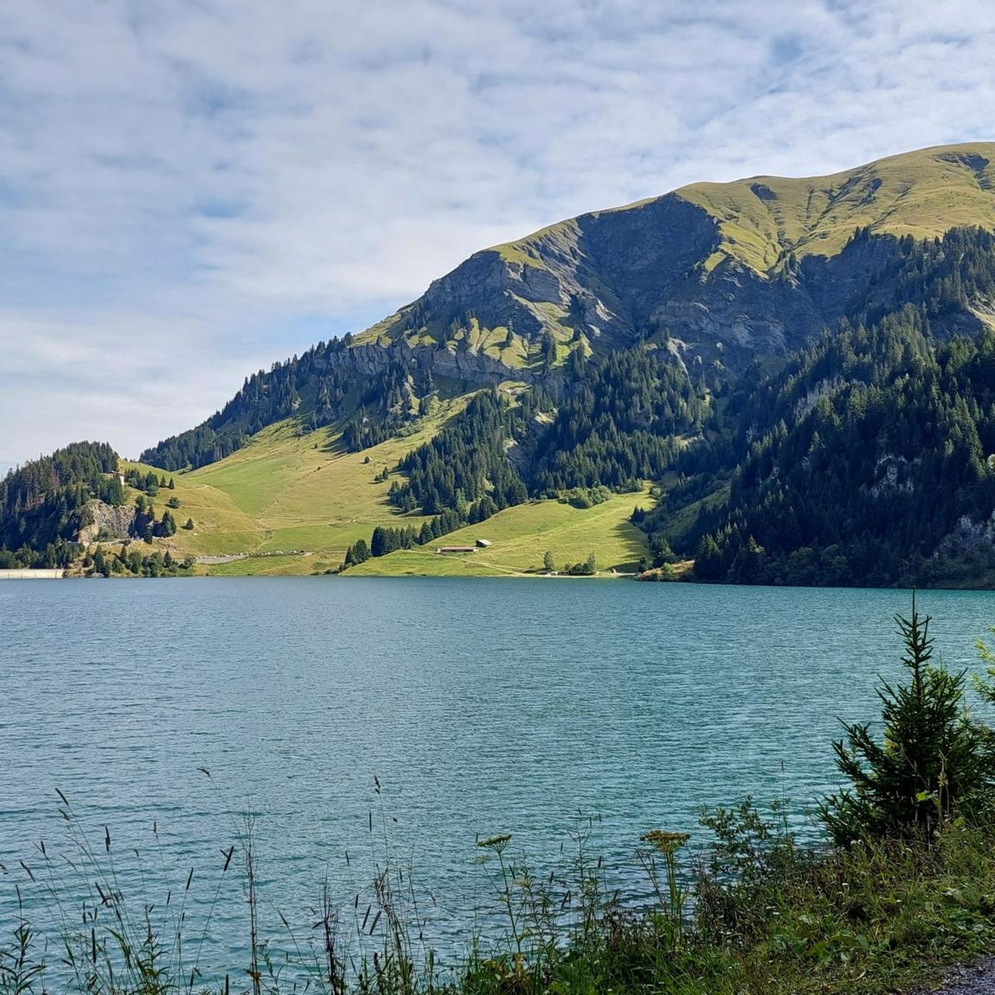
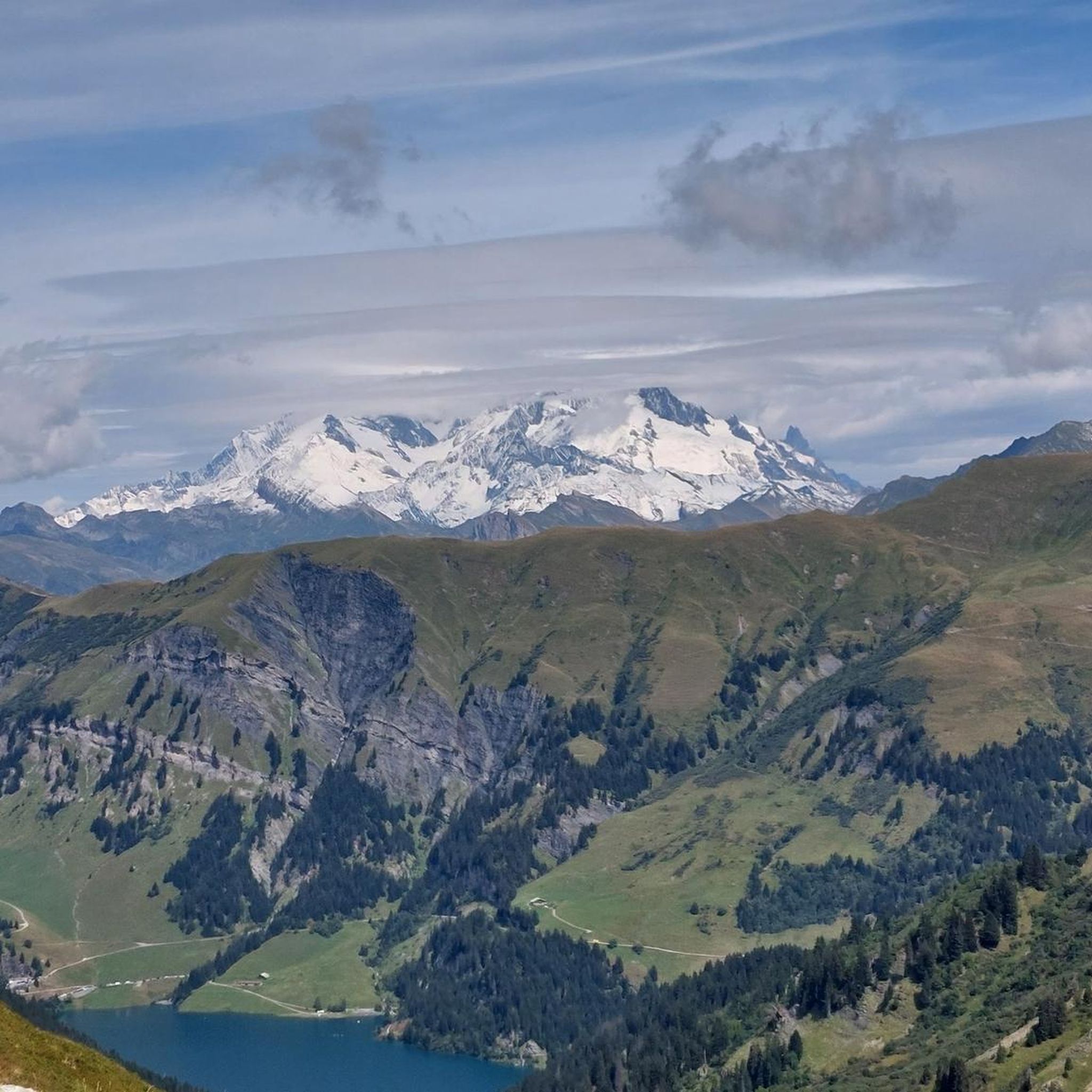
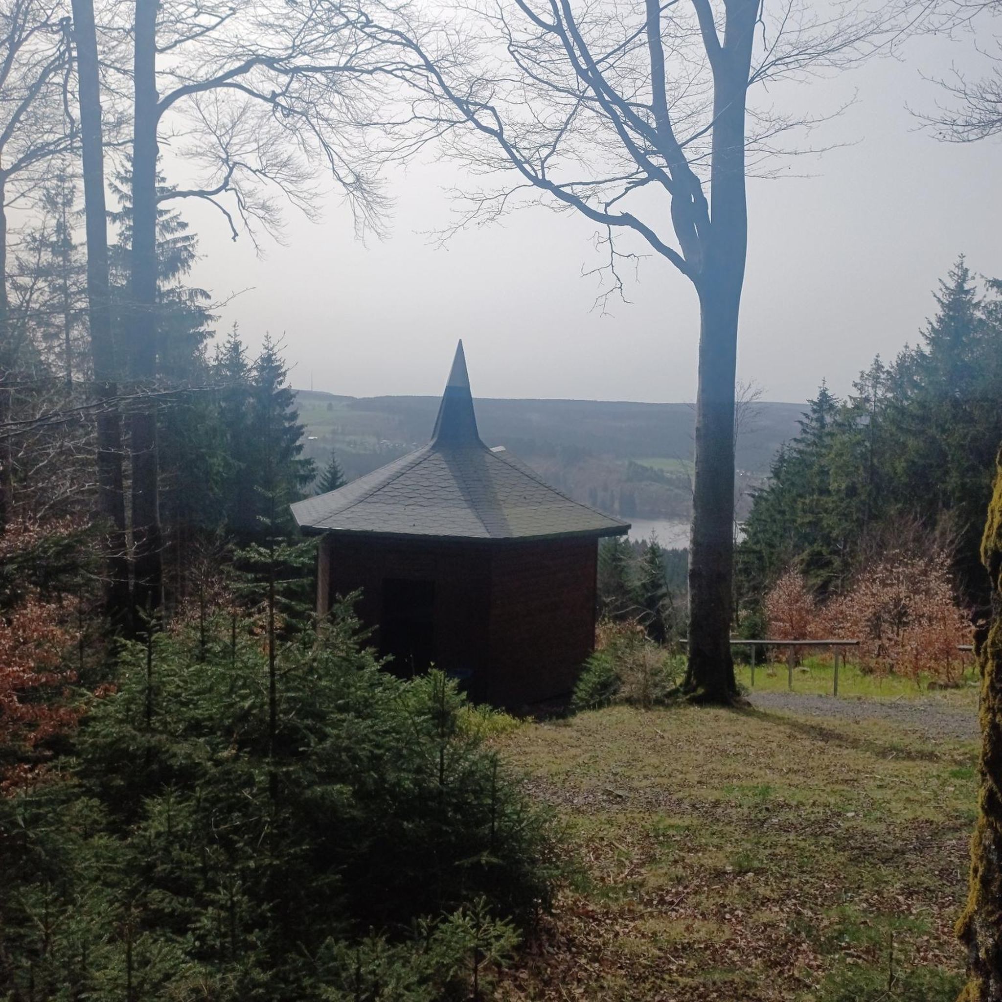
Beautiful view towards Mount Bellacha and the Grand Arc.
0
0

You start at the Col de Pre, a small pass with a narrow road, but very worth seeing.
0
0
Easily accessible by car from Planay. Starting point for several walks: Pas de l'Âne, Mont Mirantin...
0
0
Very beautiful site, offering local land foods.
0
0

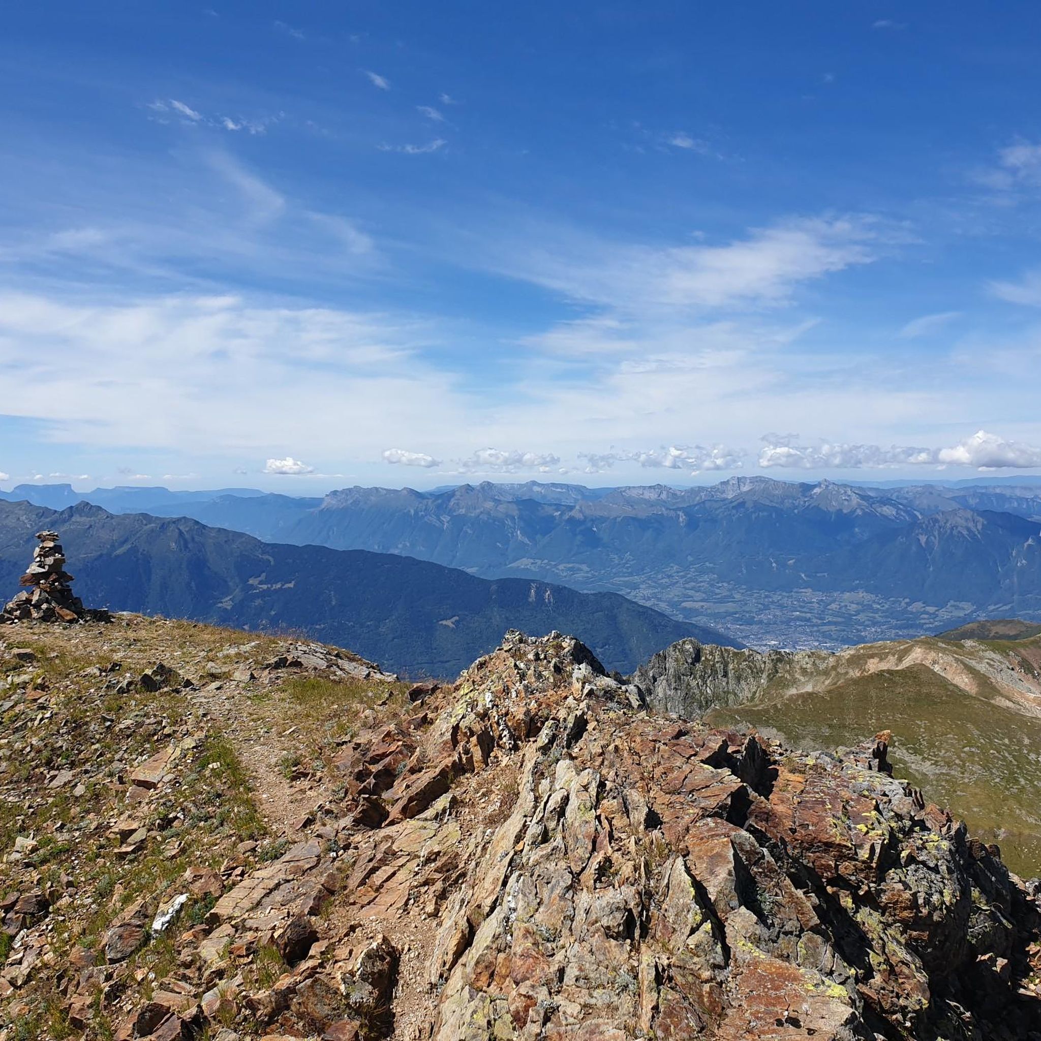
At 1,889 meters above sea level, the Col de la Bâthie is located in the heart of the mountain pastures. It separates the Pointe de la Grande Journe and the Légette du Grand Mont. If you embark on the Beaufortain tour off-site, you will have the pleasure of passing through it.
1
1

Recommended stop in a pleasant setting at the lake chalet to taste the grataron, local goat's cheese, while discussing the ecosystem with the very friendly producers.
0
0

Col de la Bâthie is at the head of the valley above the hamlet of Le Planay, and visible from the village of Arêches. There's a cross and signpost here at 1,889 metres (6,198 ft). The main route of the 100-kilometre (62 mi) Tour du Beaufortain crosses here.
0
2
Frequently Asked Questions
How many running routes are available around La Bâthie?
La Bâthie offers a wide selection of running routes, with over 300 trails available. These routes cater to various fitness levels, from easy jogs to challenging mountain runs.
What kind of terrain can I expect on jogging trails in La Bâthie?
The jogging routes around La Bâthie feature diverse and picturesque landscapes. You can expect mountainous terrain with varied elevations, ranging from approximately 350 meters up to over 2,400 meters. Trails often traverse dense forests, serene alpine pastures, and offer stunning views of significant peaks and passes in the French Alps.
Are there easy jogging routes for beginners in La Bâthie?
Yes, La Bâthie provides options for all fitness levels. There are 12 easy jogging routes perfect for beginners or those seeking a more relaxed run. These routes typically feature gentler inclines and shorter distances.
What is the best time of year for running in La Bâthie?
The best time for running in La Bâthie is generally during the spring, summer, and early autumn months when the weather is milder and trails are clear of snow. The region's diverse terrain means you can find suitable conditions for running across different elevations throughout these seasons. Always check local weather conditions before heading out, especially for higher altitude trails.
Are there any circular running routes in La Bâthie?
Yes, many of the running routes in La Bâthie are circular, allowing you to start and finish at the same point. For example, the Pas de l’Ane and Col de la Bâthie loop from Le Planay is a popular challenging circular trail, and the Arêches loop from Le Planay offers a moderate circular option.
What do other runners say about the trails in La Bâthie?
The running routes in La Bâthie are highly rated by the komoot community, with an average score of 4.5 stars from over 79 reviews. More than 5,000 runners have used komoot to explore the varied terrain, often praising the stunning alpine scenery, diverse challenges, and well-maintained paths.
Are there any interesting landmarks or natural features to see while running in La Bâthie?
Absolutely! The region around La Bâthie is rich in natural beauty and points of interest. You might encounter features like the impressive Roselend Dam, the scenic Col du Méraillet, or even the majestic Roche Parstire summit. The area also boasts beautiful lakes and mountain passes, offering rewarding views during your run.
Can I find routes that pass by lakes or water bodies?
Yes, the region features beautiful lakes that can provide serene backdrops for your runs. While not all jogging routes directly hug the shorelines, areas around lakes like Lake Saint-Guérin often offer pleasant, accessible trails. You can explore the Lakes around La Bâthie guide for more information.
Are there family-friendly jogging routes in La Bâthie?
While many routes in La Bâthie involve significant elevation, there are easier options suitable for families. Look for the 12 routes classified as 'easy' in the area, which typically have less challenging terrain and shorter distances, making them more accessible for a family outing.
Are the running trails in La Bâthie dog-friendly?
Many trails in the La Bâthie region are suitable for running with dogs, especially those through forests and alpine pastures. However, it's always recommended to check specific trail regulations and local signage, as some protected areas or private lands may have restrictions. Keep your dog on a leash and be mindful of wildlife and other trail users.
Are there running routes with parking available?
Yes, many running routes in La Bâthie have designated parking areas at their starting points, particularly in villages like Le Planay. It's advisable to check the route details on komoot for specific parking information before you go, as availability can vary.
How challenging are the running trails in La Bâthie?
The running trails in La Bâthie offer a range of challenges. You'll find 12 easy routes, 109 moderate routes, and 188 difficult routes. The difficult trails often feature significant elevation gains and technical terrain, such as the Arolles Refuge – Grande Combe Peak loop from Le Bois, which has nearly 950 meters of ascent over 10.2 km.
Most popular routes around La Bâthie
Most popular attractions around La Bâthie

Get inspired with the komoot mobile app


Explore more
Browse the best Running Trails & Routes in other regions.
