The best mountain hikes around La Bâthie
4.8
(6)
107
hikers
9
hikes
Mountaineering routes around La Bâthie are set within the diverse landscapes of the Savoie department in the Auvergne Rhône-Alpes region of France. The area features prominent mountain peaks and ridges, such as Roche Parstire at 2,108 meters (6,916 ft), and the significant Col de la Bâthie. Alpine lakes like Lake Saint-Guérin and Lac de Lavouet are also characteristic of the terrain, alongside glacial features in the wider high-alpine environment.
Best mountaineering routes around La Bâthie
- The most popular mountaineering route…
Last updated: July 10, 2026
5.0
(2)
21
hikers
10.9km
04:45
970m
970m
Hard mountaineering route. Very good fitness required. Mostly accessible paths. Sure-footedness required.
26
hikers
11.9km
05:35
930m
930m
Hard mountaineering route. Very good fitness required. Sure-footedness, sturdy shoes and alpine experience required.

Sign up for free
4.0
(2)
8
hikers
16.3km
07:48
1,150m
1,150m
Hard mountaineering route. Very good fitness required. Sure-footedness, sturdy shoes and alpine experience required.
8
hikers
16.7km
07:44
1,440m
1,440m
Hard mountaineering route. Very good fitness required. Sure-footedness, sturdy shoes and alpine experience required.
5.0
(1)
8
hikers
7.70km
03:04
400m
400m
Moderate mountaineering route. Good fitness required. Mostly accessible paths. Sure-footedness required.
Get access to more routes and recommendations from other explorers.
Sign up for free
Already have an account?
Our route recommendations are based on thousands of hikes, rides, and runs completed by other people on komoot.
Start today with a free account
Your next adventure awaits.
Login or Signup
Tips from the Community

Very tough climb with several kilometers averaging over 9%. As you ascend, the views of the valley are wonderful.
0
0

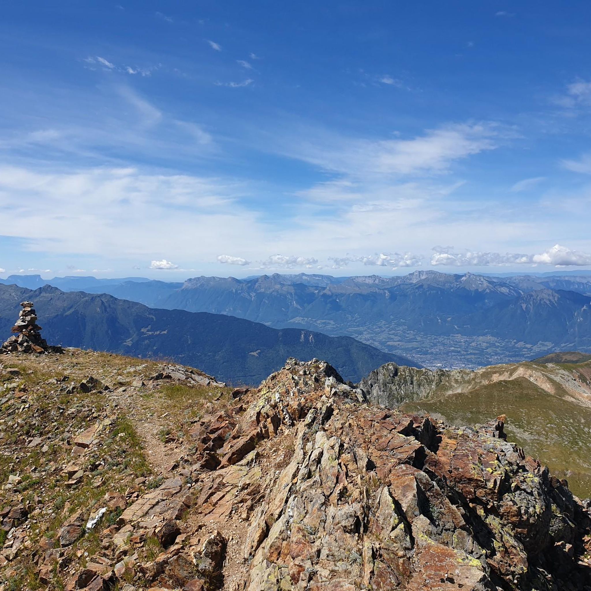
Fantastic views from the ridgeline at the summit 🤩
0
0
Incredible views and a breathtaking ridge trail
0
0

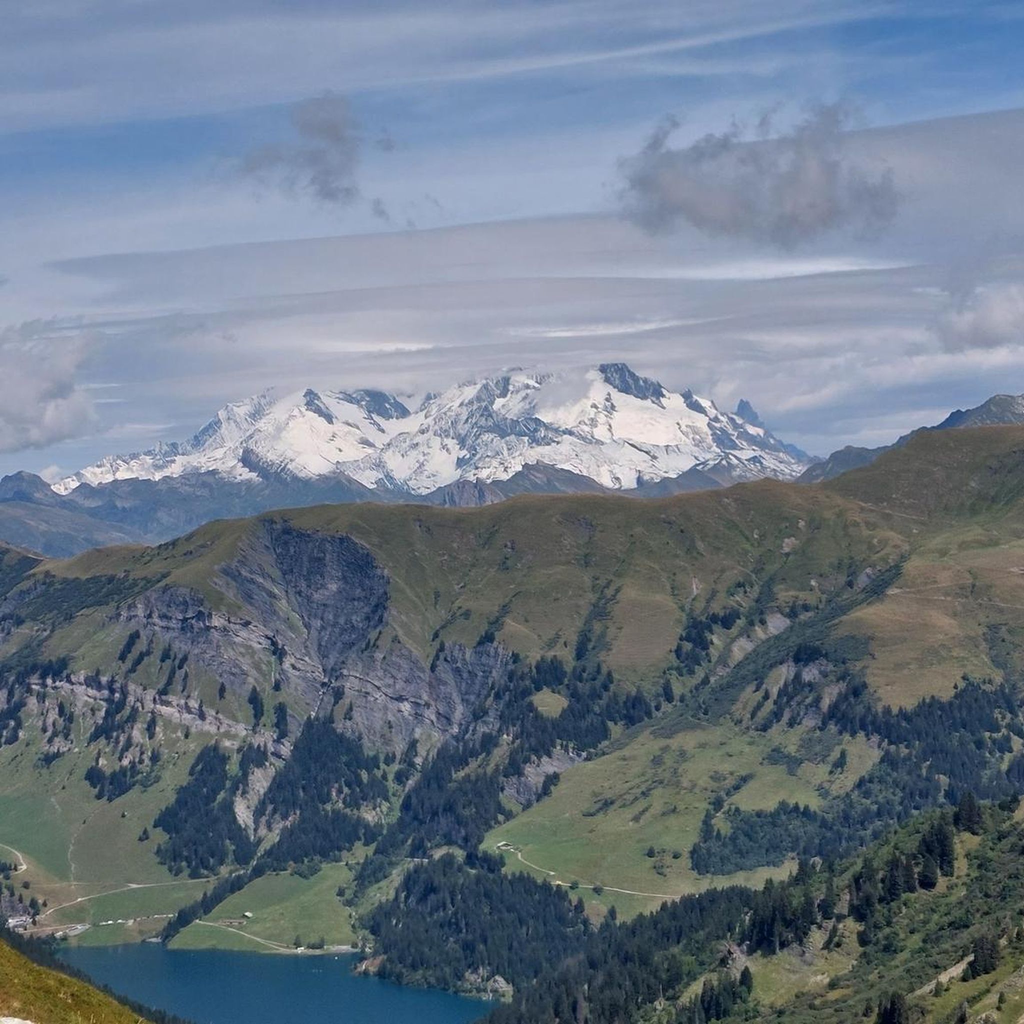
Beautiful view towards Mount Bellacha and the Grand Arc.
0
0

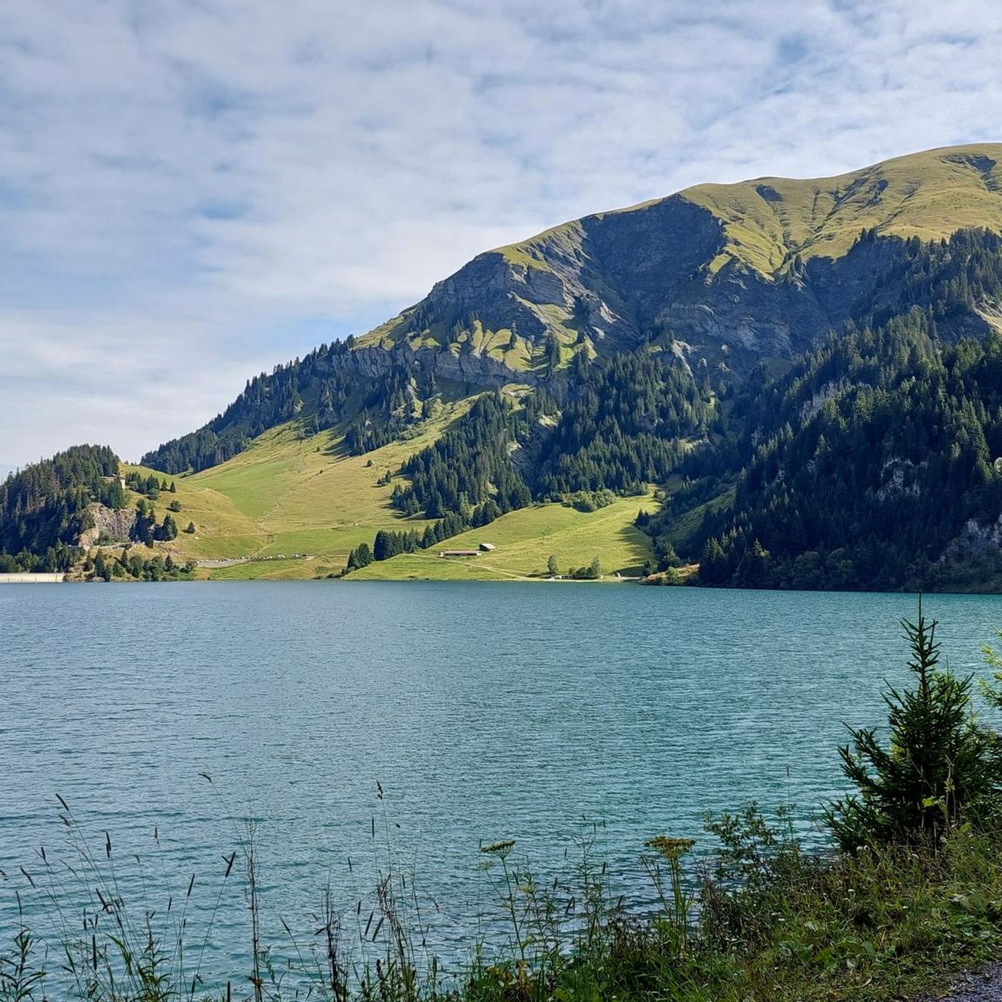
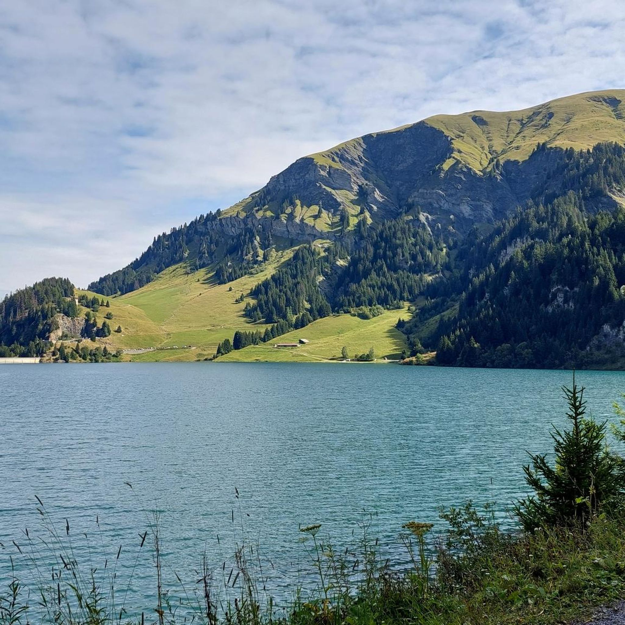
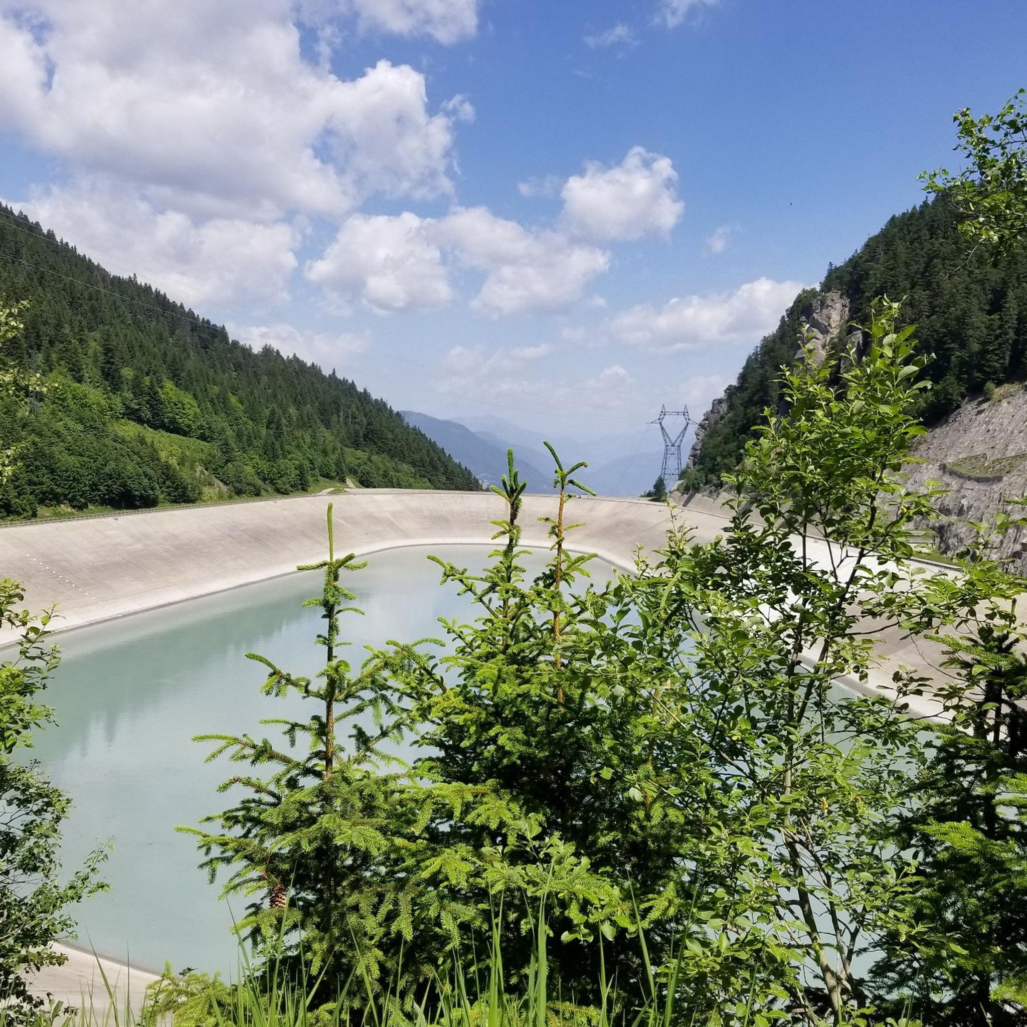
Beautiful alpine lake worth visiting.
0
0
The ridge trail is worth the trip, with spectacular views towards Mont Blanc and Lake Roselend.
0
0
Starting point for the famous walk around and on the Roche Parstire.
0
0
Frequently Asked Questions
How many mountaineering routes are available around La Bâthie?
There are over 10 dedicated mountaineering routes around La Bâthie, offering a variety of experiences for different skill levels. The region is known for its challenging terrain, with most routes being classified as difficult.
What are the difficulty levels of mountaineering routes in La Bâthie?
The mountaineering routes in La Bâthie primarily cater to experienced individuals, with 10 routes classified as difficult and 3 routes as moderate. These trails often require very good fitness, sure-footedness, sturdy shoes, and alpine experience due to the soaring mountain ridgelines and high-alpine environments.
Are there any circular mountaineering routes in La Bâthie?
Yes, many of the mountaineering routes in La Bâthie are circular, allowing you to start and end at the same point. An example is the challenging Pointe de la Grande Combe loop from Le Bois, which offers panoramic views over 10.2 km.
What kind of landscapes can I expect on mountaineering routes near La Bâthie?
Mountaineering around La Bâthie offers diverse landscapes, from prominent mountain peaks and ridgelines like Roche Parstire to serene alpine lakes such as Lake Saint-Guérin and Lac de Lavouet. You'll experience challenging high-alpine environments with breathtaking vistas in all directions.
Are there any mountain huts or refuges available along the routes?
Yes, the region around La Bâthie is well-equipped with mountain huts and refuges to support multi-day expeditions and provide shelter. Notable options include Refuge Les Arolles, Varzeron Refuge, and Chalet du Lac, among others.
What are some notable peaks or landmarks to see while mountaineering?
The area boasts several significant peaks and landmarks. You can aim for Roche Parstire, a summit reaching 2,108 meters, or explore the area around Le Grand Mont. The Passage de la Mantaz is another prominent feature in the landscape.
What do other mountaineers enjoy most about the routes in La Bâthie?
The mountaineering routes in La Bâthie are highly rated by the komoot community, with an average score of 4.1 stars. Reviewers often praise the challenging ascents, the stunning panoramic views from the ridgelines, and the diverse alpine landscapes that include beautiful lakes.
Are there any routes that pass by alpine lakes?
Absolutely. The region is dotted with beautiful alpine lakes. For instance, the difficult Lac de Saint-Guérin – Le Grand Mont loop from Barrage de Saint-Guérin leads through alpine landscapes and directly past Lac de Saint-Guérin. Another option is the Lac de Lavouet – Lac Sans Fond loop from Le Planay.
What is a good challenging route for experienced mountaineers?
For experienced mountaineers seeking a significant challenge, the Le Grand Mont loop from Arêches Beaufort is an excellent choice. This difficult 11.9 km path traverses varied terrain and offers a rewarding experience in the heart of the mountains.
Is it possible to find routes with high elevation gain?
Yes, the mountaineering routes around La Bâthie are characterized by significant elevation gains. For example, the Lac de Lavouet – Lac Sans Fond loop from Le Planay features an impressive elevation gain of nearly 1,400 meters, providing a strenuous workout and spectacular views.
Are there any shorter, yet still challenging, mountaineering options?
If you're looking for a challenging route that can be completed in a shorter timeframe, consider the Cote 2100 loop from Le Rafour. This difficult 9.5 km route involves a substantial climb of over 860 meters and typically takes around 4 hours 17 minutes.
Most popular routes around La Bâthie
Most popular attractions around La Bâthie

Get inspired with the komoot mobile app


Explore more
Browse the best Mountain Hikes & Routes in other regions.
