The best MTB trails around Richelingen
4.5
(408)
2,074
riders
203
rides
Mountain biking around Richelingen offers a diverse landscape characterized by numerous ponds, such as Hoste Pond and Diefenbacher Pond, and surrounding woodlands. The region features rolling terrain with moderate elevation changes, providing varied challenges for mountain bikers. Trails often follow natural water features and traverse forested areas, making for engaging rides.
Best mountain bike trails around Richelingen
- The most popular mountain bike trail is Lower Hoste Pond – Farschviller Pond loop from Grundviller, a 31.7 miles (51.0 km) moderate…
Last updated: July 5, 2026
4.7
(12)
74
riders
51.1km
03:50
440m
440m
Moderate mountain bike ride. Good fitness required. Advanced riding skills necessary.
4.6
(8)
40
riders
Moderate mountain bike ride. Good fitness required. Suitable for all skill levels.

Sign up for free
4.8
(6)
31
riders
57.1km
03:06
320m
320m
Moderate mountain bike ride. Good fitness required. Suitable for all skill levels.
5.0
(4)
32
riders
Moderate mountain bike ride. Good fitness required. Advanced riding skills necessary.
3.0
(1)
29
riders
Moderate mountain bike ride. Good fitness required. Advanced riding skills necessary.
Get access to more routes and recommendations from other explorers.
Sign up for free
Already have an account?
Our route recommendations are based on thousands of hikes, rides, and runs completed by other people on komoot.
Start today with a free account
Your next adventure awaits.
Login or Signup
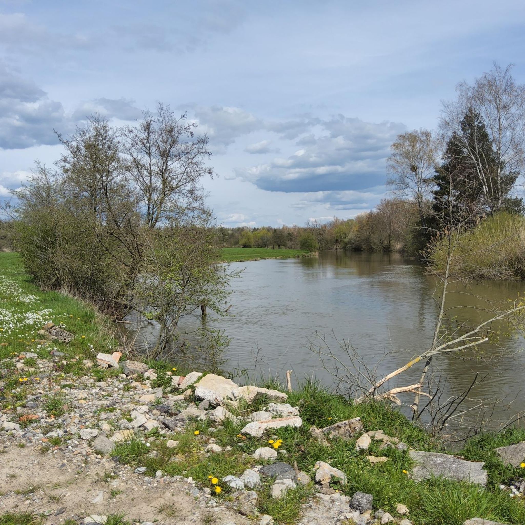
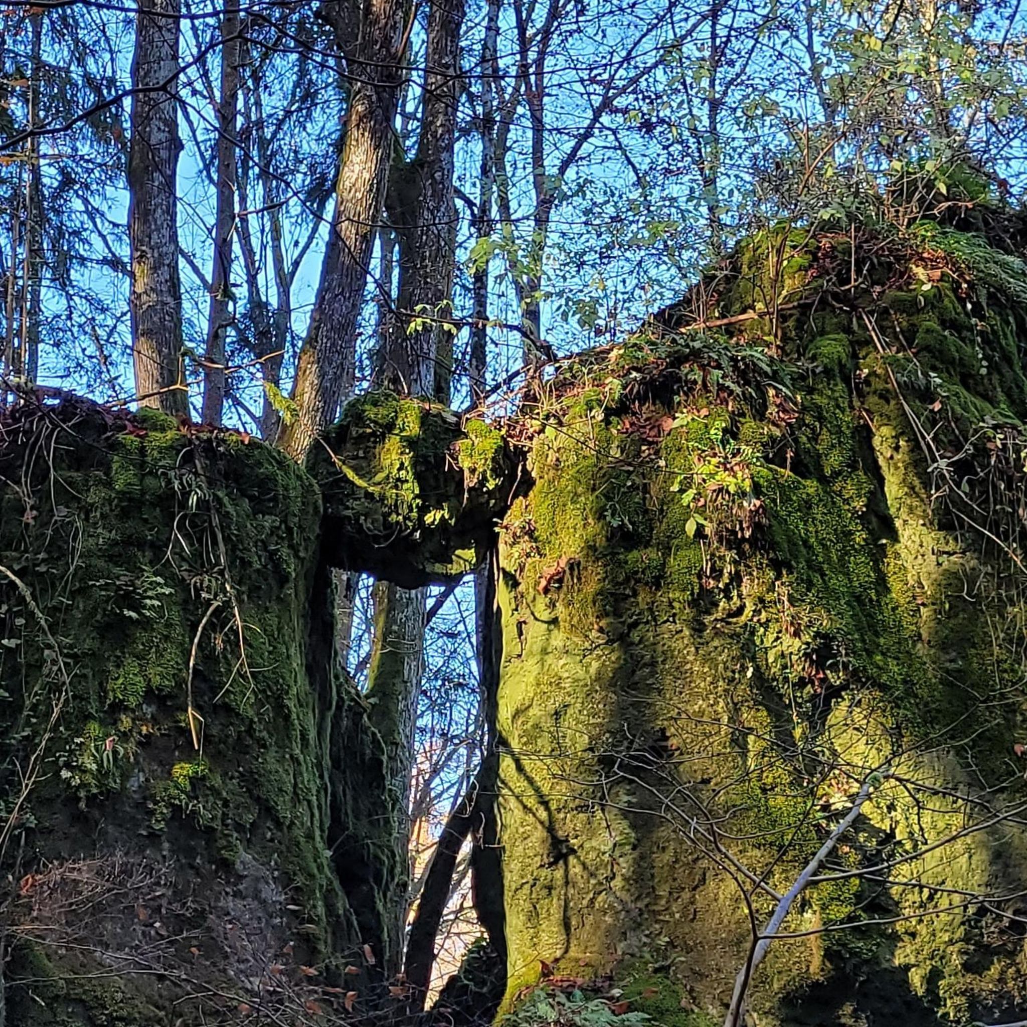
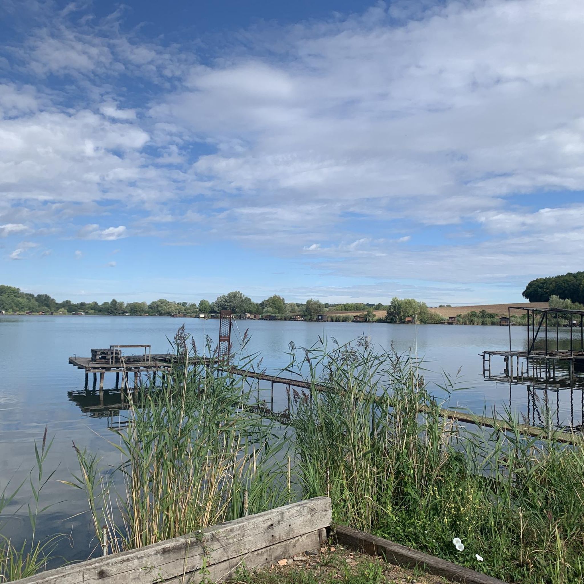
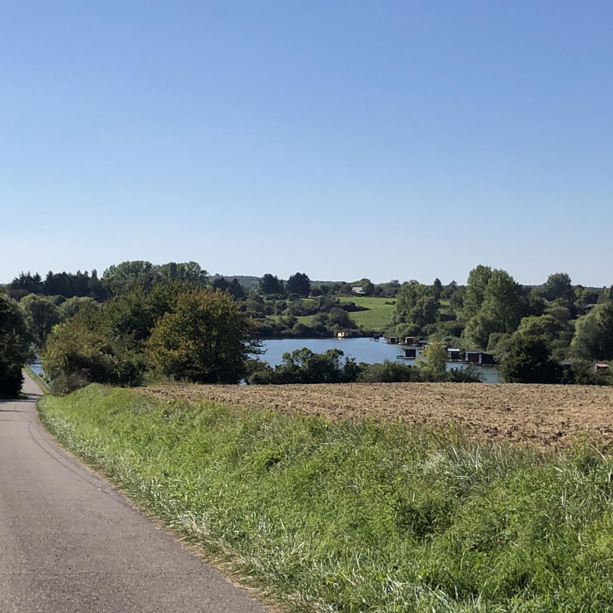
Tips from the Community


The shipyard in Saargemünd is located directly at the mouth of the Blies into the Saar.
0
0
The cycle path through Saargemünd leads directly along the Saar with varied impressions, such as the casino, lock houses, and a shipyard at the mouth of the Blies into the Saar.
0
0

Viewpoint from one of the many bunkers along the Marginot Line. On a clear day, the view from here is fantastic, stretching all the way to the nearby Vosges Mountains. Even the Donon and Dabo peaks are easily visible to the naked eye. This shady spot with its bench is also perfect for a short break.
0
0

Hi, a friend suggested I try https://play-jonny.co.at if I'm looking for something to unwind with. I wasn't very lucky at first, but then I had a really good run that completely surprised me. There are also exclusive bonus offers for players from Austria that are really worth it. Since then, playing there has been part of my little evening ritual – relaxing, exciting, and sometimes even quite profitable.
0
0

A walkable map with the highlights of Sarreguemines.
0
0
A varied route where you walk between paths and forest tracks, towpath, cycle path, easy crossing of a small village and 2 slightly more tedious urban crossings where you will have to be extra vigilant with regard to traffic.
0
0

Overlooking the charming village of Altrippe, the Church of Saint-Pierre makes no secret of its uniqueness: a round tower. The Romanesque-style building was constructed in 1450 and enlarged in the 19th century. Taking the path south, you'll find the Calvary at the highest point in the village. It was erected in 1898 by Abbot Colbus and his parishioners following a mystical vision.
0
0
Frequently Asked Questions
What is the overall difficulty level of mountain bike trails in Richelingen?
Richelingen offers a diverse range of mountain bike trails. You'll find over 60 easy routes, more than 100 moderate routes, and a few challenging options for experienced riders. This variety ensures there's something for every skill level, from leisurely rides around the ponds to more demanding forest trails.
Are there any mountain bike trails suitable for beginners in Richelingen?
Yes, Richelingen has over 60 easy mountain bike routes, perfect for beginners or those looking for a relaxed ride. These trails often feature gentler terrain and follow the numerous ponds and woodlands, providing a pleasant introduction to mountain biking in the region.
What are the typical lengths and durations of mountain bike trails in Richelingen?
The mountain bike trails in Richelingen vary in length and duration. For example, a moderate route like the Étang Saint-Hubert de Hambach – Rue les Etangs loop from Rémering-lès-Puttelange covers about 27 miles (43.6 km) and typically takes around 2 hours 44 minutes. Many routes are designed as loops, offering rides from a couple of hours to half a day.
Are there any challenging mountain bike trails for advanced riders in Richelingen?
While the majority of trails are easy to moderate, Richelingen does offer at least one difficult mountain bike route for those seeking a greater challenge. These trails typically feature more significant elevation changes and technical sections, often traversing the denser forested areas.
What kind of terrain can I expect on mountain bike trails around Richelingen?
The terrain around Richelingen is characterized by rolling hills, numerous ponds such as Hoste Pond and Diefenbacher Pond, and extensive woodlands. Trails often follow natural water features and wind through forested areas, providing varied surfaces and scenic views. You can expect a mix of forest paths, gravel tracks, and some singletrack sections.
What do other mountain bikers enjoy most about the trails in Richelingen?
The mountain bike trails in Richelingen are highly rated by the komoot community, with an average score of 4.5 stars from over 280 reviews. Riders frequently praise the diverse landscape, the scenic routes around the many ponds, and the engaging rides through the woodlands.
Are there any circular mountain bike routes in Richelingen?
Yes, many of the mountain bike routes in Richelingen are designed as loops, allowing you to start and finish at the same point. An example is the Diefenbacher Pond – Étang d hirchbach loop from Grundviller, which is a moderate 27.2-mile (43.7 km) ride.
What natural attractions or landmarks can I see along the mountain bike trails in Richelingen?
The trails often pass by beautiful natural features. You can explore various ponds like Lower Hoste Pond, Diefenbach Pond, and Hirbach Pond. Additionally, some routes may bring you close to the Sarreguemines Riverside Promenade or the Saar Coal Canal at Dieding, offering diverse sights.
Where are good starting points for mountain biking in Richelingen?
Many popular routes start from villages like Grundviller or Rémering-lès-Puttelange. For instance, the Rue les Etangs – Mill loop from Rémering-lès-Puttelange begins near Rémering-lès-Puttelange, providing convenient access to the trail network.
When is the best time of year to go mountain biking in Richelingen?
The best time for mountain biking in Richelingen is generally during the spring, summer, and autumn months. The region's rolling terrain and forested trails are particularly enjoyable when the weather is mild and the foliage is vibrant. Winter riding is possible, but trail conditions may vary due to cold or wet weather.
Are there any cafes or places to stop for refreshments near the mountain bike trails?
While specific cafes directly on the trails are not detailed, many routes pass through or near the charming villages surrounding Richelingen, such as Sarralbe. These towns often offer local establishments where you can find refreshments and take a break during your ride.
Most popular routes around Richelingen
Most popular attractions around Richelingen

Get inspired with the komoot mobile app


Explore more
Browse the best MTB trails in other regions.
