The best cycling routes around Richelingen
4.5
(871)
5,061
riders
270
rides
Touring cycling routes around Richelingen are primarily characterized by a landscape featuring numerous ponds and gentle elevation changes, typical of the Grand Est region. The area offers a mix of open countryside and routes that often loop around these water bodies. While not featuring high peaks, the terrain includes varied gradients suitable for touring cyclists. The routes provide opportunities to explore the local environment and its natural features.
Best touring cycling routes around Richelingen
- The most popular touring cycling route…
Last updated: July 5, 2026
18
riders
37.0km
02:56
330m
330m
Hard bike ride. Good fitness required. You may need to push your bike for some segments of this route.
4.5
(4)
22
riders
31.5km
02:12
260m
260m
Moderate bike ride. Good fitness required. Mostly paved surfaces. Suitable for all skill levels.

Sign up for free
5.0
(2)
12
riders
48.8km
03:19
520m
520m
Hard bike ride. Very good fitness required. Mostly paved surfaces. Suitable for all skill levels.
5.0
(1)
12
riders
23.6km
01:39
150m
150m
Easy bike ride. Great for any fitness level. Mostly paved surfaces. Suitable for all skill levels.
11
riders
49.9km
04:13
440m
440m
Hard bike ride. Good fitness required. You may need to push your bike for some segments of this route.
Get access to more routes and recommendations from other explorers.
Sign up for free
Already have an account?
Our route recommendations are based on thousands of hikes, rides, and runs completed by other people on komoot.
Start today with a free account
Your next adventure awaits.
Login or Signup
Tips from the Community

House exceptionally decorated for Halloween
0
0

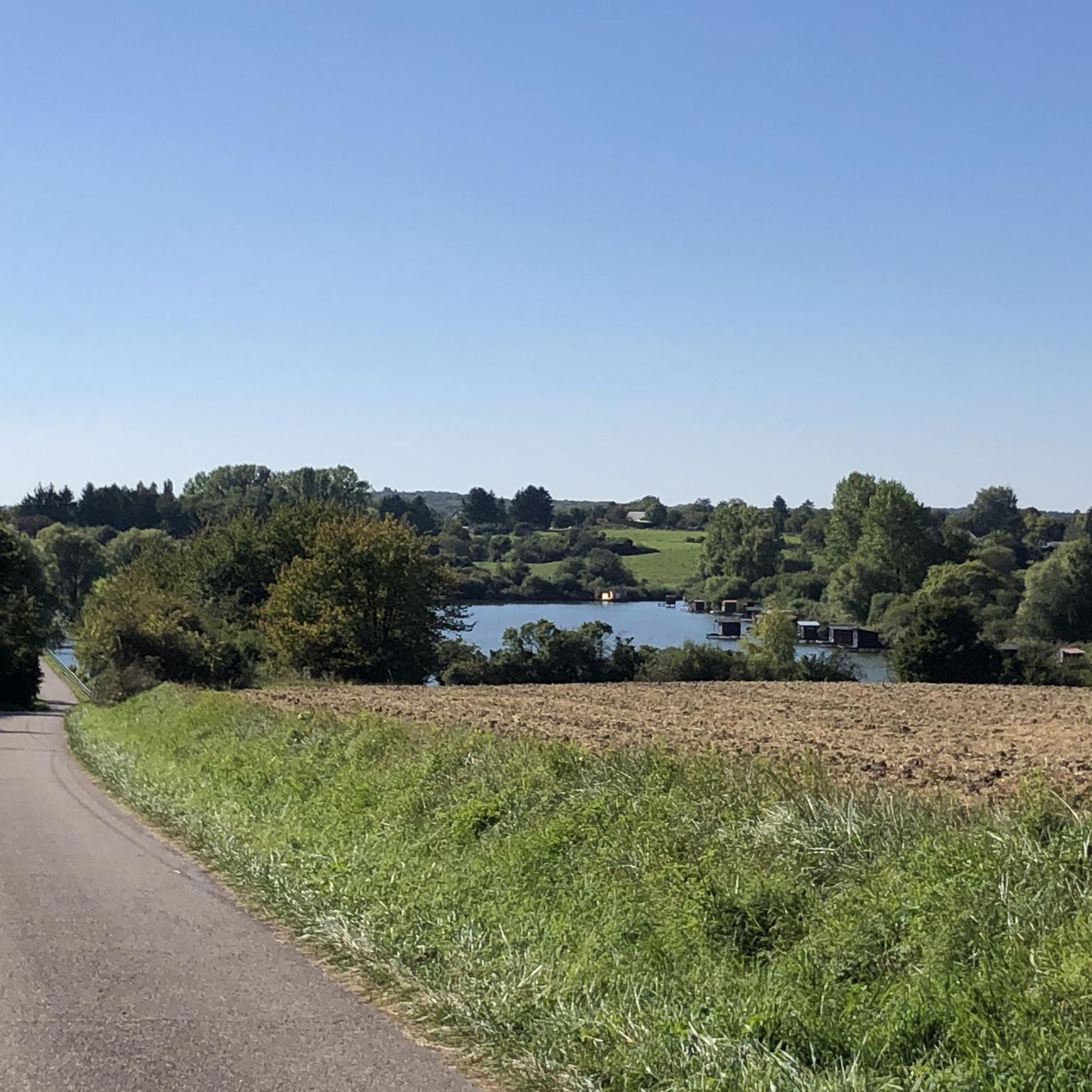
Dam with beautiful views over the lake and the surrounding countryside. The lake is lined with small fishing huts built on stilts along the shore.
0
0

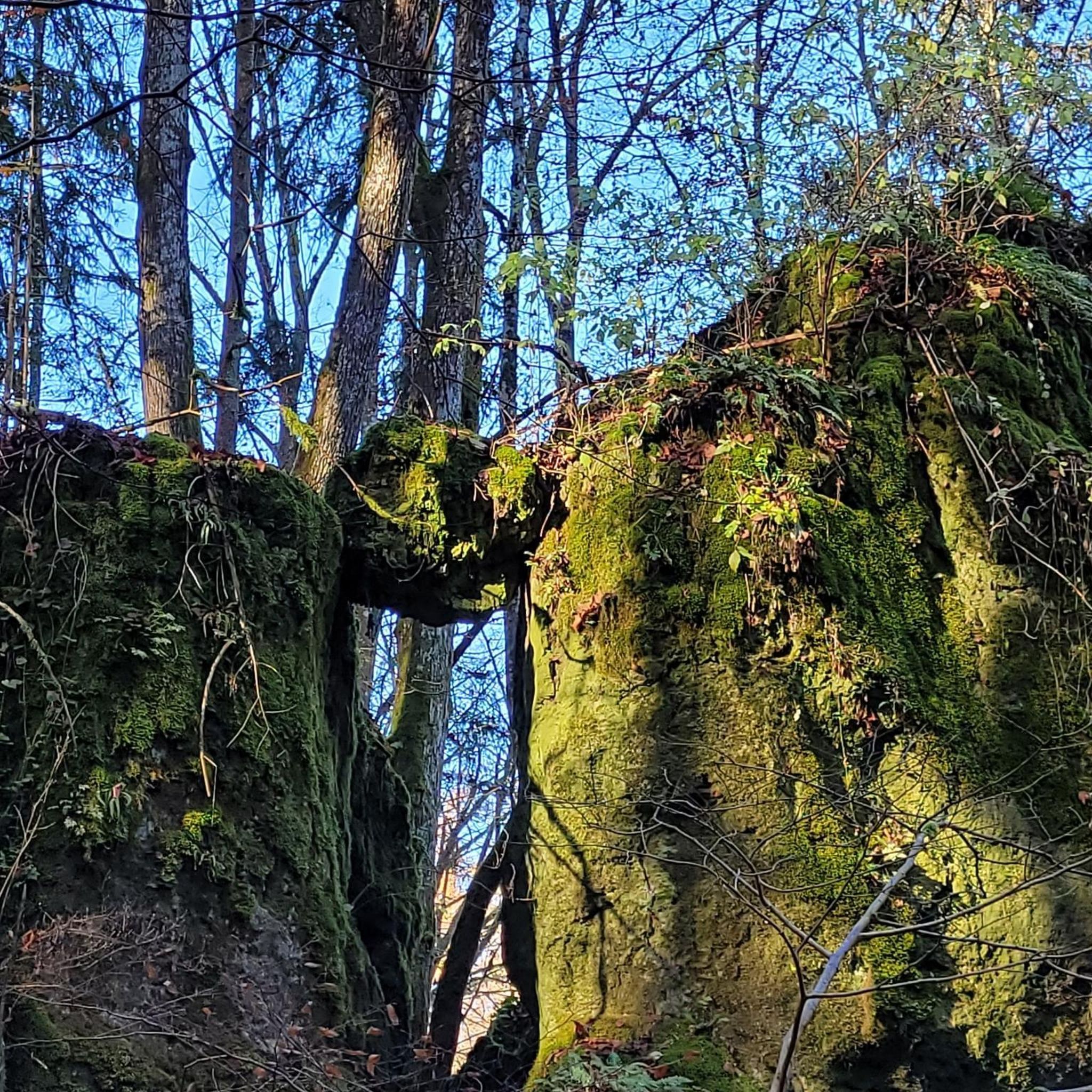
On the old Roman road, now transformed into a cycle path, three crosses bring two local legends to life. To learn more, you'll have to lift your foot to read the information panel. The site was rehabilitated in 2007.
0
0
The Hoste Bas pond borders the Hoste Haut pond. It was part of the Maginot Line defense system. Today, they are home to numerous species of fish, much to the delight of anglers.
0
1
The cycle path follows the ancient Roman road, once a strategic communication axis of the Roman Empire. From the cycle path, you can enjoy sweeping views of the surrounding fields.
1
0
The Welschof Pond is a little corner of paradise for fishermen and ducks. It was built in the 1930s to serve as a reservoir for the Maginot Line's defensive flood control system.
1
0
The Diefenbach Pond covers 75 hectares and is one of the must-see sites along the aquatic Maginot Line. It is home to a wide variety of wildlife. It's not uncommon to encounter ducks, geese, and herons on the banks while strolling.
0
0

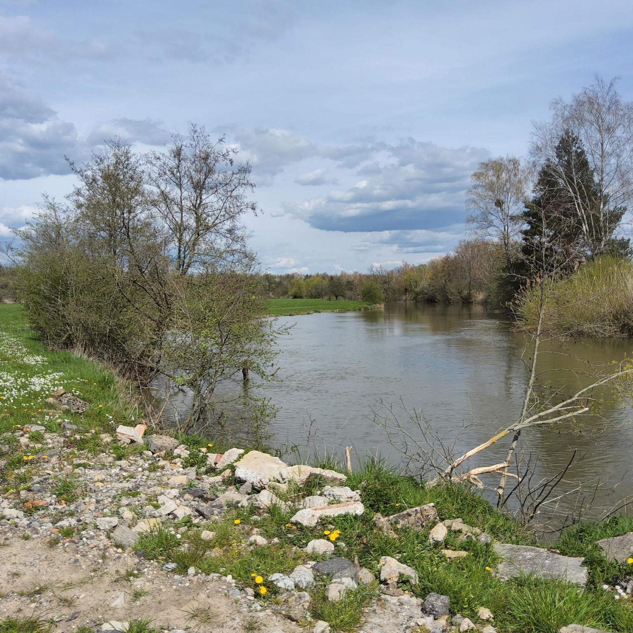
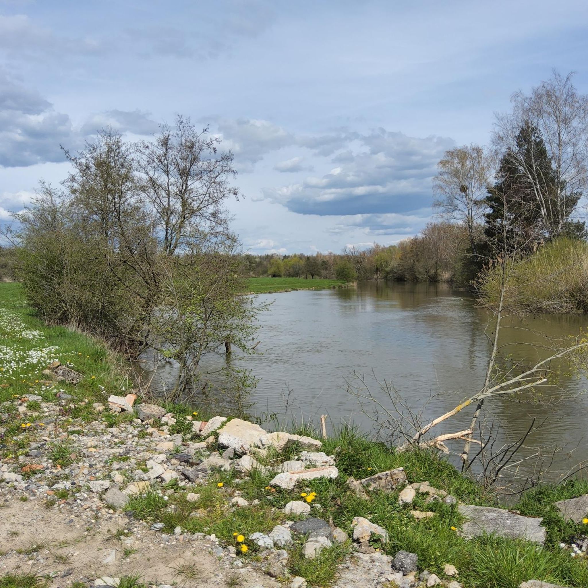
Beautiful hike combining villages, forests and ponds on mostly tarmacked or gravel paths.
0
0
Frequently Asked Questions
How many touring cycling routes are available around Richelingen?
There are over 250 touring cycling routes available around Richelingen, offering a wide variety of options for cyclists of all skill levels.
What makes touring cycling in Richelingen unique?
Touring cycling in Richelingen is characterized by a landscape rich in numerous ponds and gentle elevation changes, typical of the Grand Est region. Routes often loop around these water bodies, providing a mix of open countryside and natural features to explore.
What are the difficulty levels of touring cycling routes in Richelingen?
The routes cater to various abilities: there are 82 easy routes, 110 moderate routes, and 59 difficult routes. This ensures options for both casual riders and those seeking a greater challenge.
Are there any circular touring cycling routes in Richelingen?
Yes, many touring cycling routes in Richelingen are designed as loops, allowing you to start and finish at the same point. For example, the Étang Saint-Hubert de Hambach – Hambach Cycle Path loop from Grundviller is a moderate 12.5-mile (20.2 km) circular route.
What can I see along the touring cycling routes in Richelingen?
Along the routes, you can enjoy various natural and historical sights. Highlights include the Sarreguemines Riverside Promenade, the Harbor of the old Saar barges, and the Saar Coal Canal at Dieding. The region is also dotted with beautiful lakes such as Welschhof Pond and Diefenbach Pond.
Are there any family-friendly touring cycling routes in Richelingen?
Yes, there are 82 easy routes that are generally suitable for families. A good option is the Étang de Welschhof – Welschhof Pond loop from Holving, an easy 14.8-mile (23.9 km) trail that takes about 1 hour 40 minutes to complete.
What do other touring cyclists enjoy most about the routes in Richelingen?
The komoot community highly rates the routes in Richelingen, with an average score of 4.6 stars from over 900 reviews. Cyclists often praise the varied terrain, the scenic pond systems, and the opportunities to explore the local environment.
What is a good route for experienced touring cyclists seeking a challenge?
For experienced touring cyclists, the Welschhoff Pond – Rest Area by the Pond loop from Grundviller is a challenging option. This difficult route covers nearly 31 miles (50 km) with significant elevation changes, offering a demanding ride.
Are there routes that offer scenic views of the local ponds?
Absolutely. Many routes are designed to showcase the region's numerous ponds. The Welschhof Pond – Diefenbacher Pond loop from Grundviller is a moderate 19.6-mile (31.5 km) path that provides particularly scenic views of the Welschhof and Diefenbacher Ponds.
What is the best time of year for touring cycling in Richelingen?
While specific seasonal data isn't available, the gentle elevation and open countryside suggest that spring and autumn would offer pleasant temperatures and beautiful scenery. Summer can also be enjoyable, but it's always advisable to check local weather conditions before heading out.
Are there any long-distance touring cycling routes in the area?
Yes, some routes offer longer distances for extended rides. The Diefenbach Pond – Diefenbacher Pond loop from Grundviller is a difficult 23.0-mile (37.0 km) trail, providing a comprehensive tour around the local pond systems for those looking for a longer journey.
Most popular routes around Richelingen
Most popular attractions around Richelingen

Get inspired with the komoot mobile app


Explore more
Browse the best Cycling routes in other regions.
