The best walks and hikes around Hirtzbach
4.5
(452)
2,362
hikers
324
hikes
Hiking around Hirtzbach offers a network of trails through varied landscapes. The region is characterized by gentle elevation changes, with routes often passing through parklands, alongside water bodies like the Ill river, and near historical sites. Hikers can expect a mix of open fields and wooded sections, providing diverse natural settings for outdoor activity. The area provides accessible paths suitable for different fitness levels.
Best hiking trails around Hirtzbach
- The most popular hiking route is Charles de Reinach Park loop…
Last updated: July 5, 2026
4.1
(11)
22
hikers
7.06km
01:55
100m
100m
Easy hike. Great for any fitness level. Easily-accessible paths. Suitable for all skill levels.
4.7
(3)
18
hikers
7.30km
01:58
90m
90m
Easy hike. Great for any fitness level. Easily-accessible paths. Suitable for all skill levels.

Sign up for free
4.7
(3)
11
hikers
16.9km
04:35
230m
230m
Moderate hike. Good fitness required. Easily-accessible paths. Suitable for all skill levels.
4.5
(2)
11
hikers
11.5km
03:09
180m
180m
Moderate hike. Good fitness required. Easily-accessible paths. Suitable for all skill levels.
5.0
(1)
12
hikers
11.3km
03:01
130m
130m
Moderate hike. Good fitness required. Easily-accessible paths. Suitable for all skill levels.
Get access to more routes and recommendations from other explorers.
Sign up for free
Already have an account?
Our route recommendations are based on thousands of hikes, rides, and runs completed by other people on komoot.
Start today with a free account
Your next adventure awaits.
Login or Signup
Tips from the Community

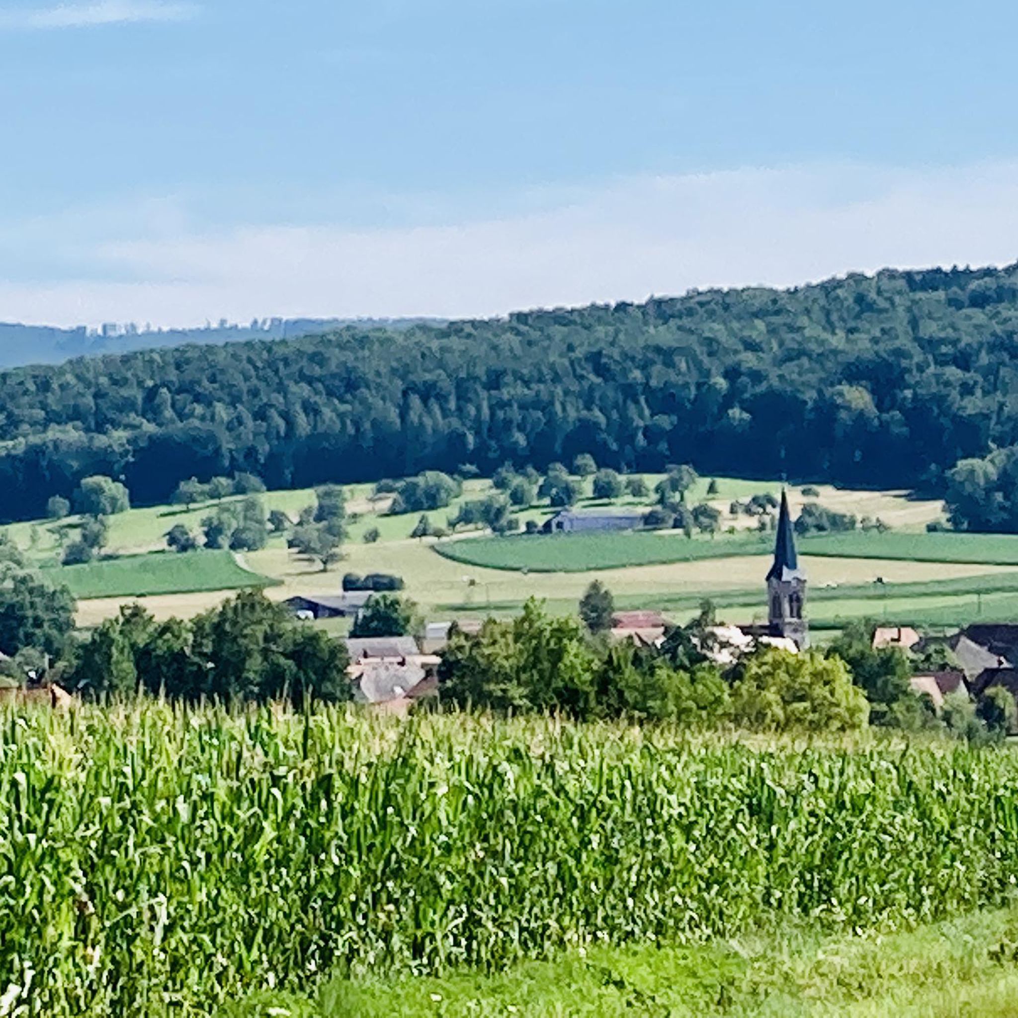
Construction of the Church of Saint-Georges (St. George) began in 1832 on the site of an older building first mentioned in 1280. Various structural defects necessitated modernization in 1853 and 1854. After being destroyed in World War I, the church was rebuilt. A sacristy was added after 1934.
2
0

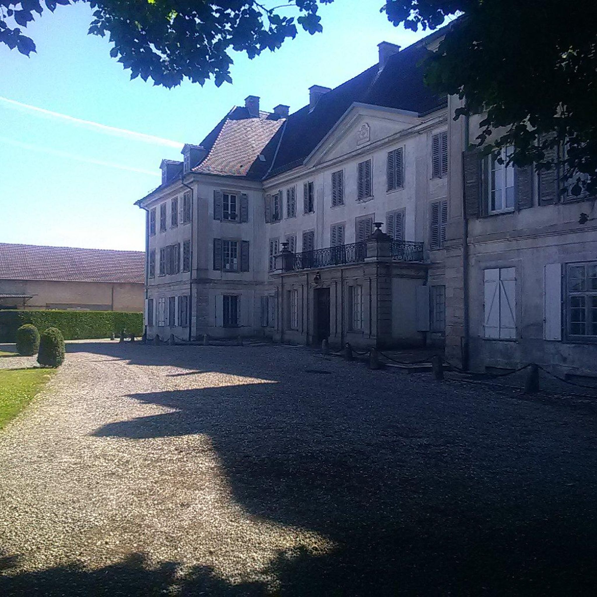
Classified as historical monuments, the Reinach castle dates from the 19th century. From an architectural and landscape point of view, this enclosure is remarkable. Today, this establishment provides school-type, post-Bac and continuing education.
1
0
This unpaved track passes through ponds and forests. It connects Hirtzbach to Fulleren. The opportunity to discover the artificial bodies of water, typical of the region.
0
0
This area is full of beautiful ponds that promote rich biodiversity. The paths allow you to discover these bodies of water away from traffic. You will come across other cyclists and hikers.
0
0
This former station is now private property. That said, observing its charming exterior transports you to a bygone era.
0
0


Former train station in Hirtzbach on the former line between Altkirch and Ferrette. More information: https://de.wikipedia.org/wiki/Bahnstrecke_Altkirch%E2%80%93Ferrette and http://www.achim-bartoschek.de/bahneur_fr.htm#fr68_06
1
0
Frequently Asked Questions
How many hiking trails are there around Hirtzbach?
Hirtzbach offers a wide selection of routes, with over 300 hiking trails available. These range from easy strolls to more challenging moderate hikes, ensuring options for various fitness levels.
Are there any easy or family-friendly hiking options in Hirtzbach?
Yes, Hirtzbach has over 130 easy routes suitable for families or those looking for a relaxed walk. A great option is the At l'Ill loop from Carspach, an easy 4.5-mile (7.3 km) path that follows the Ill river, offering accessible terrain.
What kind of terrain can I expect on hikes around Hirtzbach?
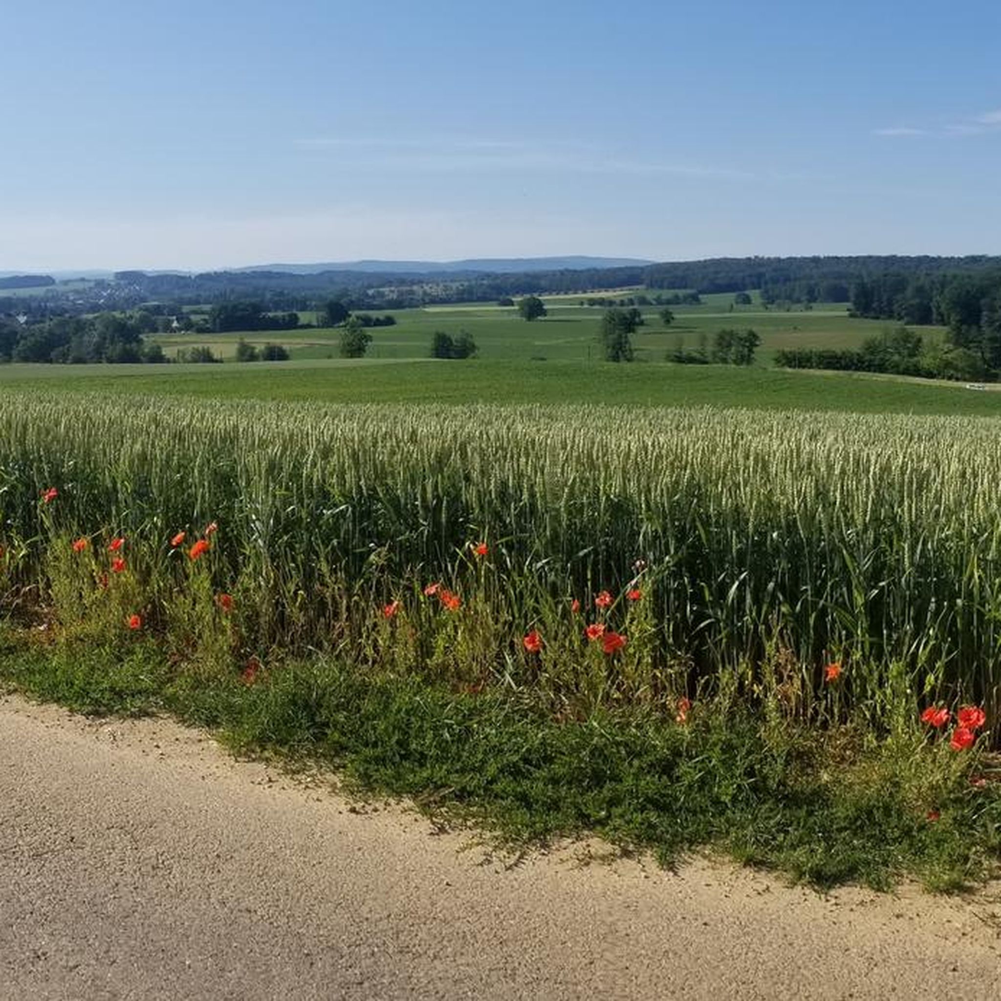
The region is characterized by gentle elevation changes, with routes often passing through varied landscapes. You can expect a mix of parklands, open fields, and wooded sections, as well as paths alongside water bodies like the Ill river and near historical sites.
Are there any circular hiking routes in Hirtzbach?
Many of the trails around Hirtzbach are circular, offering convenient starting and ending points. For example, the Charles de Reinach Park loop from Hirtzbach is a popular moderate route that takes you through varied terrain around the park.
What are some interesting landmarks or attractions to see while hiking in Hirtzbach?
While hiking, you can explore several points of interest. Notable attractions include the Port of Dannemarie, the Valdieu-Lutran lock scale, and the Eglingen Lock. There's also the historical Grand Cannon of Zillisheim nearby.
What do other hikers enjoy most about the trails in Hirtzbach?
The trails in Hirtzbach are highly rated by the komoot community, with an average score of 4.5 stars. Hikers frequently praise the diverse natural settings, the well-maintained paths, and the variety of options available for different skill levels, from river paths to parklands.
Are there longer hiking routes for experienced hikers?
Yes, for those seeking longer excursions, Hirtzbach offers several moderate routes. The Etangs – Etang loop from Hirtzbach is a 10.5-mile (16.9 km) trail that leads through areas with ponds and open fields, typically completed in about 4 hours 35 minutes.
Can I find hikes that pass by water features or ponds?
Absolutely. The region features several routes that incorporate water elements. The Etangs – Etang loop from Hirtzbach, for instance, specifically takes you through areas dotted with ponds and open fields, offering scenic views.
What is the best time of year to go hiking in Hirtzbach?
Hirtzbach's trails are enjoyable throughout much of the year. Spring and autumn offer pleasant temperatures and beautiful scenery with blooming flora or vibrant fall colors. Summer is also popular, especially for routes near water. Winter hiking is possible on many paths, though conditions may vary.
Are there any routes that explore historical sites or castles?
Yes, you can combine hiking with historical exploration. The Reinach Castle – Former Hirtzbach station loop from Hirtzbach is a moderate 7.2-mile (11.5 km) route that allows you to discover historical points of interest, including the vicinity of Reinach Castle.
Are there any hikes that offer views of the Charles de Reinach Park?
Many routes in Hirtzbach feature the beautiful Charles de Reinach Park. A good example is the Charles de Reinach Park – Reinach Castle loop from Hirtzbach, a moderate 8.4-mile (13.5 km) trail that provides extensive views and access to the park and its surroundings.
Most popular routes around Hirtzbach
Most popular attractions around Hirtzbach

Get inspired with the komoot mobile app


Explore more
Browse the best Hikes in other regions.
