The best walks and hikes around Prunières
4.6
(1366)
12,745
hikers
223
hikes
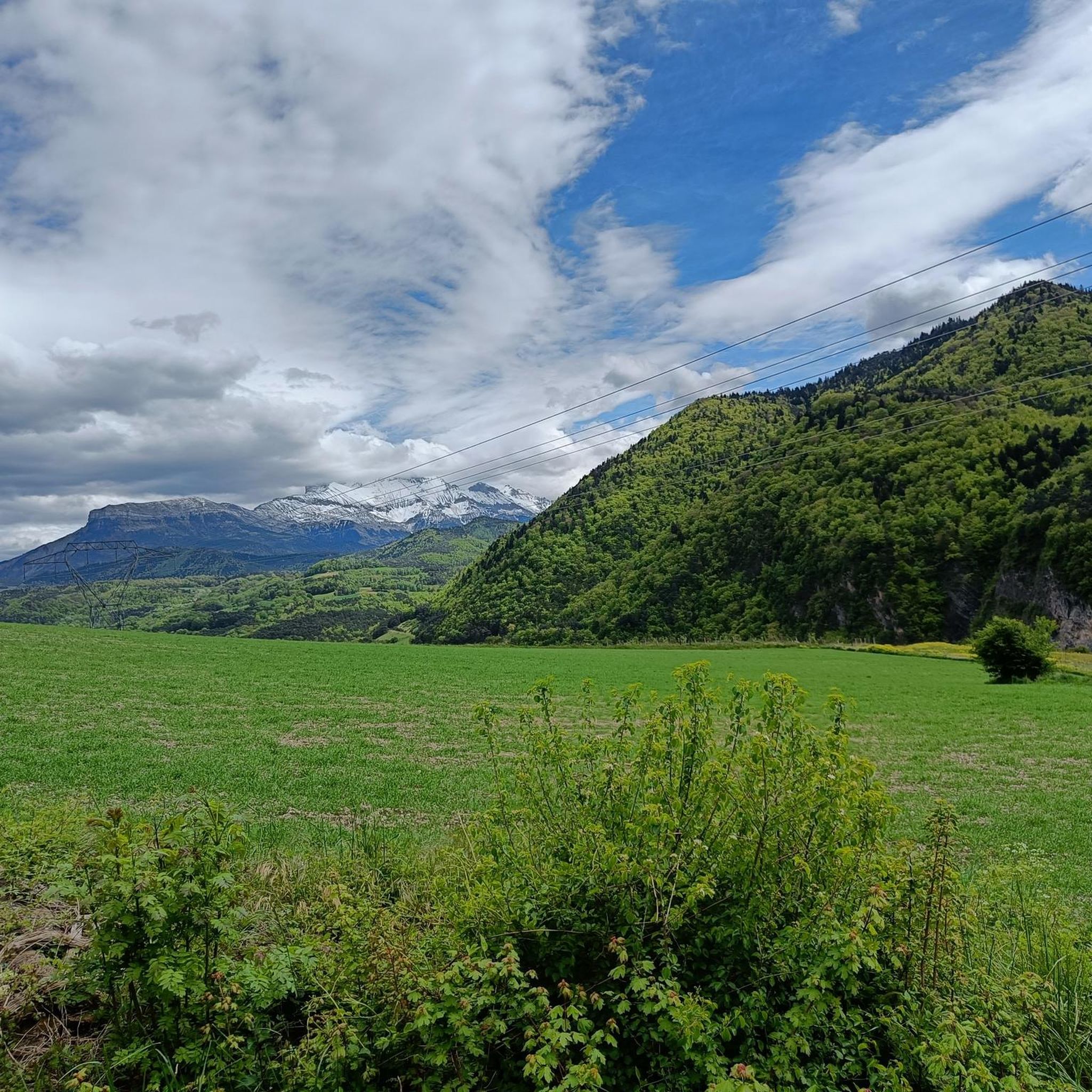
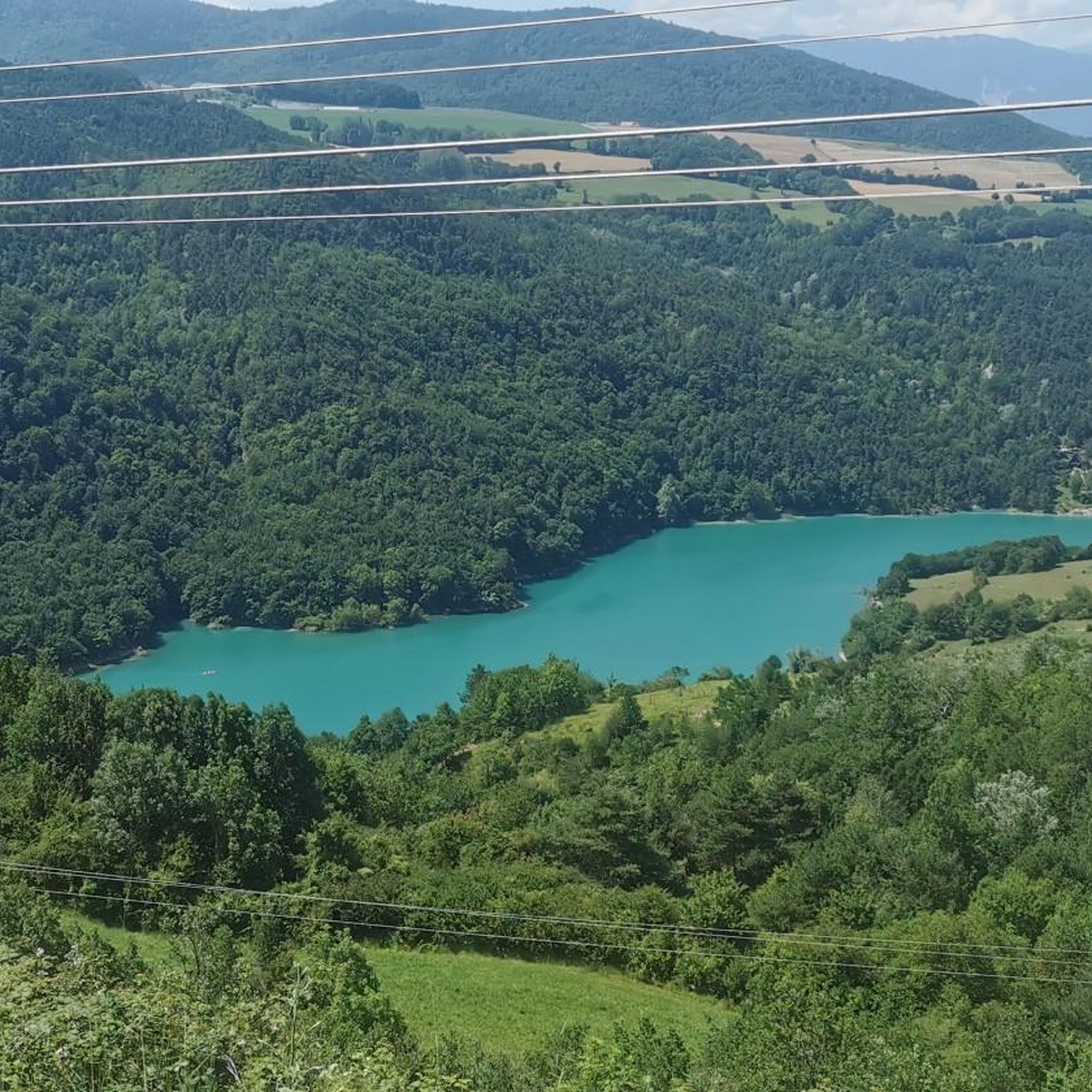
Hiking around Prunières offers diverse landscapes, from the southern slopes of Serre-Ponçon to the entrance of the Écrins National Park. The region features a mix of larch forests and steppes, providing varied terrain for hikers. Notable natural features include the vast Lake Serre-Ponçon and the limestone peaks of the Aiguilles de Chabrières, which rise over 2000 meters. This environment provides a range of elevations and scenic views for outdoor activities.
Best hiking trails around Prunières
- The most popular hiking route…
Last updated: July 1, 2026
5.0
(1)
17
hikers
10.4km
03:23
410m
410m
Moderate hike. Good fitness required. Mostly accessible paths. Sure-footedness required.
5.0
(1)
7
hikers
11.2km
04:15
600m
590m
Moderate hike. Good fitness required. Mostly accessible paths. Sure-footedness required.

Sign up for free
5.0
(1)
11
hikers
22.1km
07:47
1,010m
1,010m
Hard hike. Very good fitness required. Mostly accessible paths. Sure-footedness required.
5.0
(1)
21
hikers
16.2km
05:19
600m
600m
Hard hike. Very good fitness required. Mostly accessible paths. Sure-footedness required.
4
hikers
13.5km
04:18
400m
400m
Moderate hike. Good fitness required. Mostly accessible paths. Sure-footedness required.
Get access to more routes and recommendations from other explorers.
Sign up for free
Already have an account?
Our route recommendations are based on thousands of hikes, rides, and runs completed by other people on komoot.
Start today with a free account
Your next adventure awaits.
Login or Signup


Tips from the Community

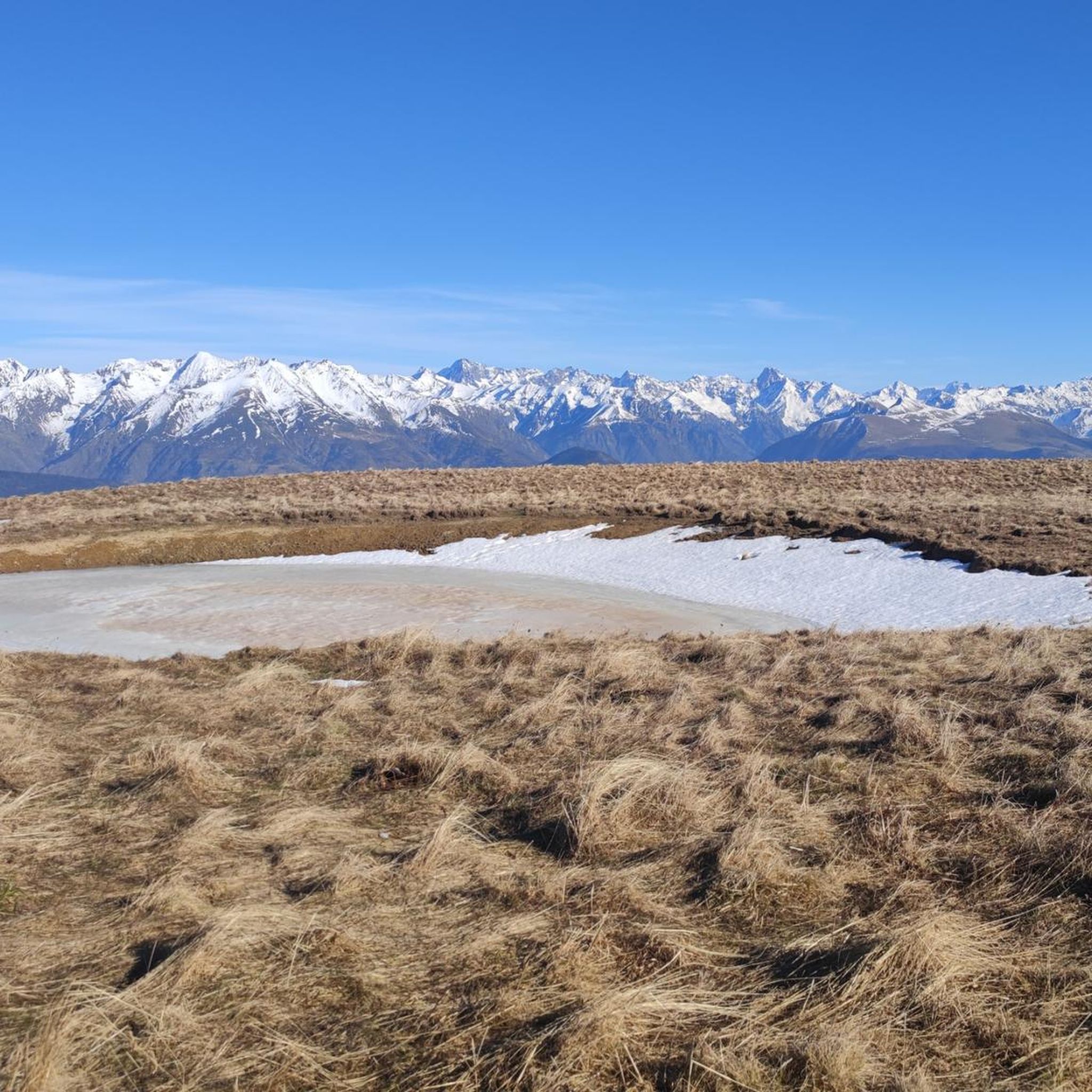
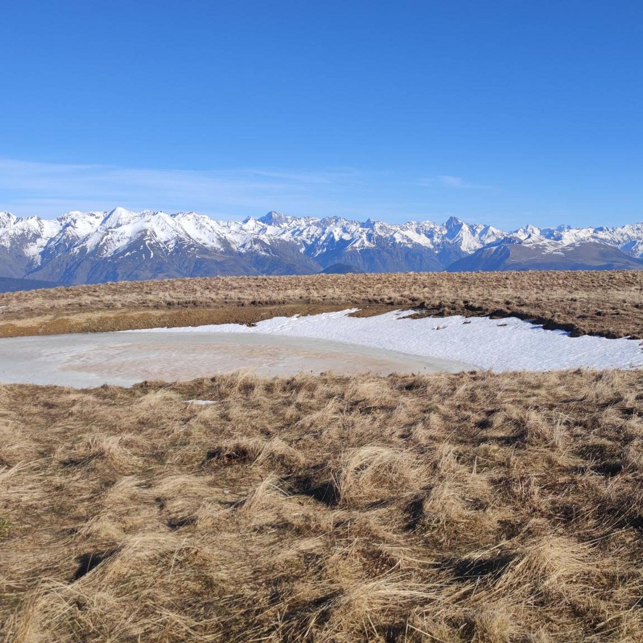
Serre de l'horizon lives up to its name: mountain of the horizon. From its summit, one can enjoy a 360° view encompassing the Taillefer, Dévoluy, Vercors and Belledonne mountain ranges.
0
0
The pine trees of Pré Rond are lying down, subjected to the strong winds that blow across the plateau.
0
0
Before reaching the summit of the pass, in the alpine pasture, this water catchment is beautifully painted
0
0


Steep last bends from the pass on a very grassy track, it's for the strong. But the reward: What a 360° panorama at the top!
1
0
Frequently Asked Questions
How many hiking trails are available around Prunières?
There are over 200 hiking routes available around Prunières, catering to a wide range of abilities. This includes approximately 60 easy trails, 120 moderate routes, and nearly 30 more challenging options for experienced hikers.
What kind of landscapes can I expect to see while hiking near Prunières?
Hiking around Prunières offers incredibly diverse landscapes. You'll find trails winding through lush larch forests, across open steppes with Mediterranean characteristics, and along the shores of the vast Lake Serre-Ponçon. Many routes also provide stunning views of the dramatic limestone peaks of the Aiguilles de Chabrières and the majestic scenery at the gateway to the Écrins National Park.
Are there hiking trails suitable for beginners or families in Prunières?
Yes, Prunières offers many accessible paths suitable for all skill levels, including beginners and families. For example, the La Mure War Memorial – Three Crosses of La Mure loop from La Mure is an easy 3.2-mile (5.2 km) trail that takes about 1 hour 26 minutes, leading through local historical points. Many paths are well-maintained and offer gentle gradients.
What do other hikers enjoy the most about the trails in Prunières?
The trails in Prunières are highly rated by the komoot community, with an average score of 4.6 stars from over 1400 reviews. Hikers often praise the varied terrain, the breathtaking panoramic views of Lake Serre-Ponçon and the surrounding mountains, and the well-maintained network of paths that cater to different fitness levels.
Are there any circular hiking routes in Prunières?
Yes, many of the trails around Prunières are designed as circular routes, allowing you to start and end at the same point. An example is the Col du Senepy – Serre de l'horizon loop from Les Merlins, a moderate 6.5-mile (10.4 km) path offering expansive views, including the Col du Senepy.
What are some notable landmarks or attractions I might see on a hike?
While hiking near Prunières, you can encounter several interesting landmarks. The iconic Ebron Footbridge and Drac Footbridge are impressive structures. Natural features like La Pierre Percée and various mountain passes such as Plan Collet Pass also offer scenic points of interest.
What is the best time of year to go hiking in Prunières?
Prunières, with its blend of nature, fresh air, and sunshine, is generally excellent for hiking from spring through autumn. The diverse landscapes, from larch forests to steppes, are beautiful in different seasons. Summer offers warm weather perfect for combining hikes with water activities on Lake Serre-Ponçon, while spring and autumn provide milder temperatures and vibrant colors.
Are there any challenging hikes for experienced trekkers?
Absolutely. For experienced trekkers, the region offers more difficult routes, especially those venturing higher into the mountains or towards the Aiguilles de Chabrières. The La Mure Town Hall – Le Sénépy loop from La Mure is a challenging 13.7-mile (22.1 km) route with over 1000 meters of elevation gain, requiring good fitness and sturdy shoes.
Are dogs allowed on the hiking trails in Prunières?
Many trails in the Prunières area are dog-friendly, allowing you to enjoy the natural beauty with your canine companion. However, it's always advisable to keep dogs on a leash, especially in areas with livestock or within the boundaries of the Écrins National Park, where specific regulations may apply to protect wildlife.
Where can I find parking for hiking trailheads around Prunières?
Parking is generally available near the starting points of many popular hiking trails in and around Prunières. Specific parking information can often be found on individual route descriptions. For routes starting from villages like La Mure or Les Merlins, there are typically designated parking areas for visitors.
Can I reach hiking trailheads using public transport?
While some trailheads might be accessible via local bus services, public transport options can be limited in more remote areas around Prunières. It's recommended to check local transport schedules in advance, especially if you plan to rely on public transport to reach specific starting points for your hikes.
Are there opportunities for other outdoor activities besides hiking?
Yes, Prunières is a hub for various outdoor activities. Lake Serre-Ponçon offers abundant water sports like sailing, boating, canoeing, kayaking, and jet skiing. The small roads are excellent for cycling, and for the more adventurous, options like ultralight flights, horse riding, tree climbing, climbing, and via ferrata are also available.
Most popular routes around Prunières
Most popular attractions around Prunières

Get inspired with the komoot mobile app


Explore more
Browse the best Hikes in other regions.
