The best cycling routes around Semallé
4.3
(143)
1,009
riders
151
rides
Touring cycling around Semallé offers a variety of routes through the region's diverse landscape. The area is characterized by rolling hills and rural terrain, with some routes featuring notable viewpoints such as Mont des Avaloirs. Elevation gains vary, providing options from gentle paths to more challenging ascents. The routes often connect small towns and villages, showcasing the local countryside.
Best touring cycling routes around Semallé
- The most popular touring cycling route is Mont des Avaloirs viewpoint – Avaloirs Viewpoint loop…
Last updated: July 4, 2026
4.4
(15)
135
riders
58.8km
03:38
200m
200m
Moderate bike ride. Good fitness required. Mostly paved surfaces. Suitable for all skill levels.
4.7
(27)
149
riders
42.4km
02:44
290m
290m
Moderate bike ride. Good fitness required. Mostly paved surfaces. Suitable for all skill levels.

Sign up for free
4.3
(3)
46
riders
24.4km
01:32
130m
130m
Easy bike ride. Great for any fitness level. Mostly paved surfaces. Suitable for all skill levels.
4.2
(5)
21
riders
41.3km
02:38
450m
450m
Hard bike ride. Very good fitness required. Mostly paved surfaces. Suitable for all skill levels.
4.8
(6)
30
riders
22.5km
01:21
110m
110m
Easy bike ride. Great for any fitness level. Mostly paved surfaces. Suitable for all skill levels.
Get access to more routes and recommendations from other explorers.
Sign up for free
Already have an account?
Our route recommendations are based on thousands of hikes, rides, and runs completed by other people on komoot.
Start today with a free account
Your next adventure awaits.
Login or Signup
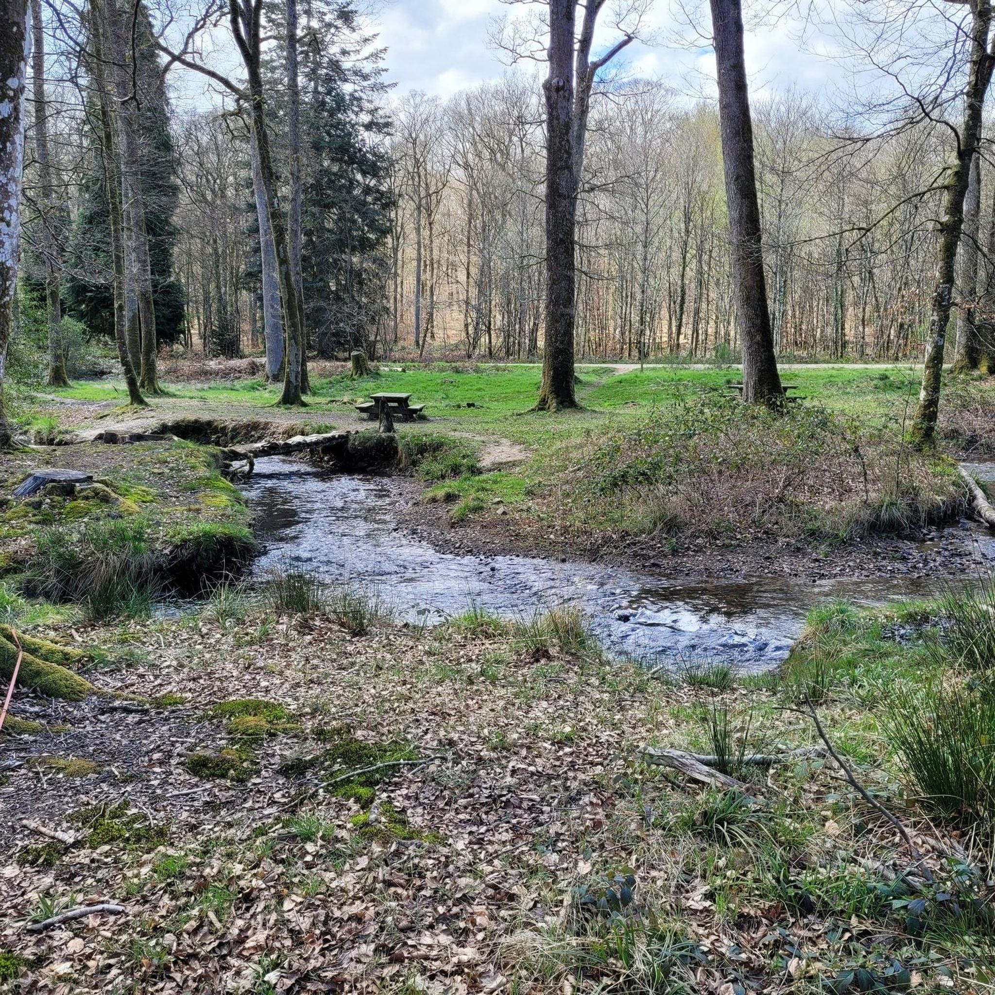
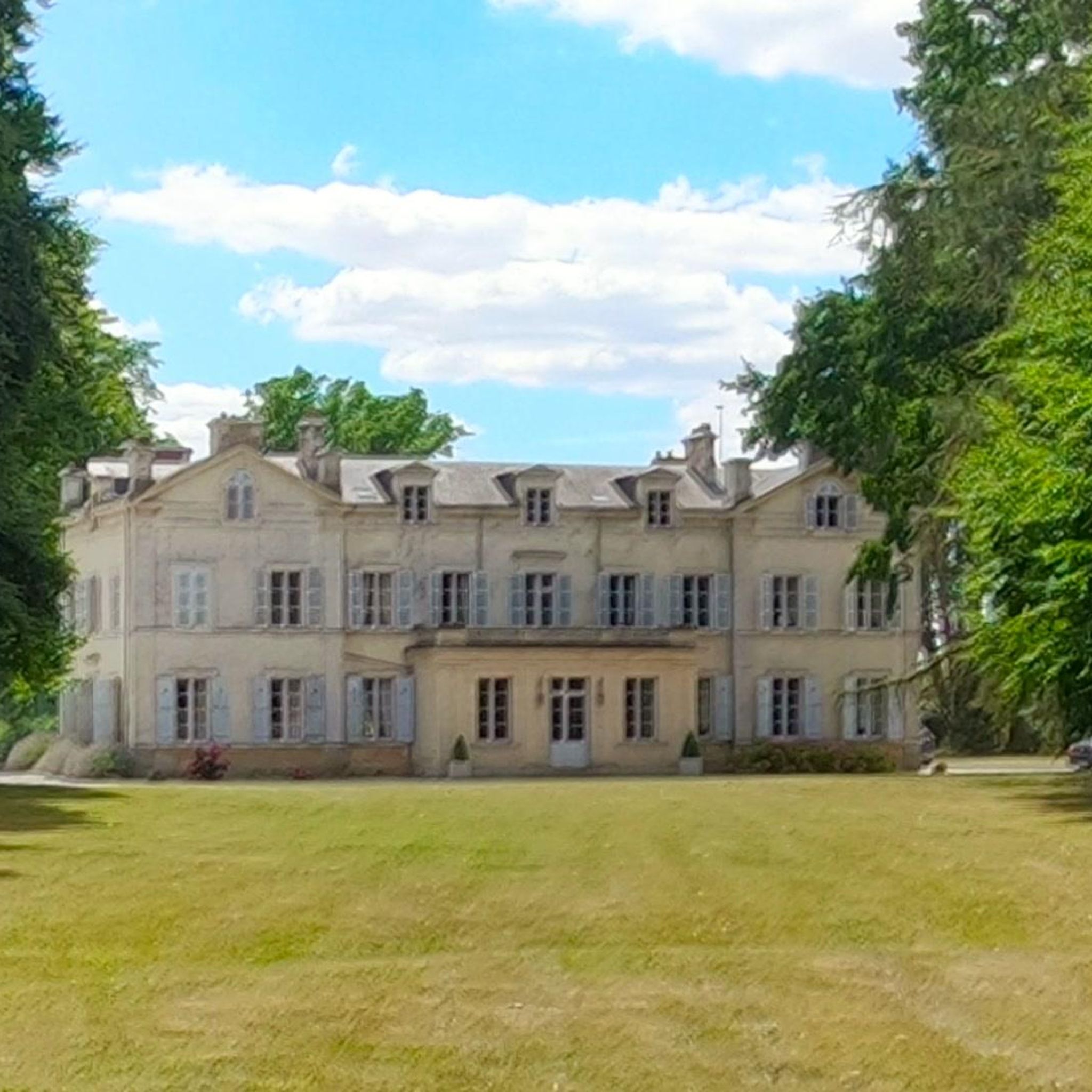
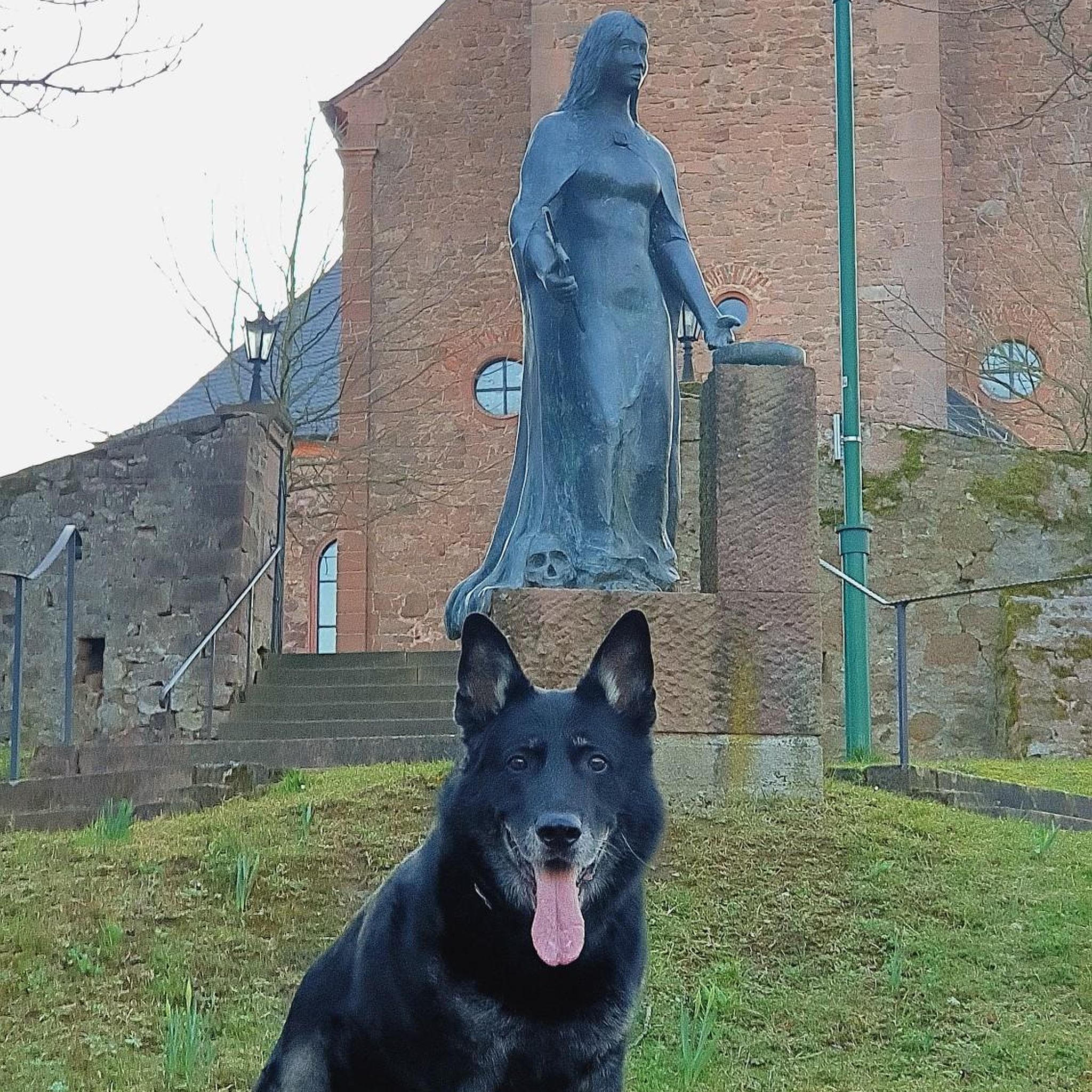


Tips from the Community

The almost 200-kilometer-long river Mayenne rises at the foot of the Avaloirs mountain in the Orne department and flows through the Mayenne department through peaceful-looking and lush green landscapes as well as beautiful towns such as Mayenne, Laval and Château-Gontier, which possess a rich cultural heritage.
0
0

A beautiful place to take a break along the greenway
0
0

Very pretty place, nicely designed. Unfortunately, it's overcrowded with tourists. Perhaps a good stop on a hike.
0
0
Very nice little place, nicely designed with lots of flowers.
0
0

very varied and pleasant hike
0
0


Superb village, perched 😰, for a bistronomic break and a little digestive stroll before setting off again in the saddle!
0
0

Beautiful little village. Would also have been ideal for hiking.
0
0
Frequently Asked Questions
How many touring cycling routes are available around Semallé?
There are over 130 touring cycling routes in the Semallé area, offering a wide variety of options for different skill levels and preferences. This includes more than 50 easy routes, over 60 moderate routes, and around 25 difficult routes.
Are there easy touring cycling routes suitable for beginners around Semallé?
Yes, Semallé offers numerous easy touring cycling routes perfect for beginners or those seeking a relaxed ride. An example is the Lonrai – Meridian beacon 0 loop from Alençon, which is 15.9 miles (25.6 km) long with moderate elevation gain, typically taking about 1 hour 35 minutes.
What are the typical distances and elevations for touring cycling routes in the Semallé area?
Route distances vary significantly, from shorter loops of around 15 miles (24 km) to longer excursions exceeding 45 miles (72 km). Elevation gains range from gentle ascents of around 100 meters on easier routes to over 400 meters on more challenging ones, reflecting the region's rolling hills. For instance, the La Gare de la Mesniere – Mortagne-au-Perche loop from Alençon covers 49.2 miles (79.2 km) with approximately 400 meters of elevation gain.
Are there family-friendly touring cycling options around Semallé?
Many of the easier routes around Semallé are suitable for families, especially those with less significant elevation changes and through quieter rural areas. Look for routes designated as 'easy' on komoot, which often follow well-maintained paths and connect charming villages, providing pleasant stops along the way.
Where can I find more challenging touring cycling routes near Semallé?
For advanced cyclists seeking a challenge, routes with significant elevation gain are available. The Saint-Céneri-le-Gérei – Saint-Léonard-des-Bois loop from Alençon is a difficult route spanning 25.7 miles (41.4 km) with over 450 meters of ascent, offering a demanding yet rewarding experience through the region's varied terrain.
What can I see along the touring cycling routes around Semallé?
The routes often connect small towns and villages, showcasing the local countryside. You might encounter historical sites like the Castle of the Dukes of Alençon or natural features such as the Madame's Cross. Some routes also feature notable viewpoints like Mont des Avaloirs, offering expansive views.
Are there circular touring cycling routes available in the Semallé region?
Yes, many touring cycling routes around Semallé are designed as loops, allowing you to start and end at the same point. An excellent example is the popular Mont des Avaloirs viewpoint – Avaloirs Viewpoint loop from Alençon, a 30.1-mile (48.4 km) moderate trail that offers stunning views.
When is the best time of year to go touring cycling in Semallé?
The best time for touring cycling in Semallé is typically from spring to early autumn (April to October). During these months, the weather is generally milder and more pleasant, with less rainfall, making for more enjoyable rides through the rural landscapes and rolling hills.
Are there places to stop for refreshments or cafes along the touring cycling routes?
Given that many routes connect small towns and villages, you will often find opportunities to stop for refreshments. These villages typically have local cafes, bakeries, or small shops where you can refuel and take a break during your ride.
What do other touring cyclists enjoy the most about touring cycling in Semallé?
The area is highly rated by the komoot community, with an average score of 4.3 stars from over 100 reviews. Reviewers often praise the diverse landscape, the quiet rural roads, and the scenic viewpoints, particularly the expansive views from Mont des Avaloirs. The variety of routes catering to different skill levels is also frequently highlighted.
Is parking available near the touring cycling routes in Semallé?
Yes, parking is generally available in the towns and villages that serve as starting points for many of the touring cycling routes. You can often find public parking areas in village centers or near trailheads, making it convenient to access the routes.
Are there any shorter, scenic routes for a quick touring cycling trip?
For a shorter, scenic ride, consider routes like the Mansion Near Alençon loop from Alençon. This easy 14-mile (22.5 km) route offers pleasant countryside views and can be completed in under an hour, perfect for a quick outing.
Most popular attractions around Semallé

Get inspired with the komoot mobile app


Explore more
Browse the best Cycling routes in other regions.
