The best road cycling routes around Sillé-Le-Guillaume
4.0
(9)
443
riders
94
rides
Road cycling routes around Sillé-Le-Guillaume traverse a landscape characterized by the expansive Sillé Forest and the scenic Lac de Sillé. The region offers varied terrain, from routes around the lake to more challenging climbs. Notable features for road cyclists include the Col de la Source, providing elevation gains with an average gradient of 4.5% over 1.8 kilometers. This area, part of the Normandy-Maine Regional Natural Park, presents diverse cycling opportunities.
Best road cycling routes around Sillé-Le-Guillaume
- The most popular road…
Last updated: November 1, 2026
5.0
(1)
21
riders
60.6km
02:49
580m
580m
Moderate road ride. Good fitness required. Some segments of this route may be unpaved and difficult to ride.
25
riders
99.3km
04:22
830m
830m
Moderate road ride. Good fitness required. Mostly well-paved surfaces and easy to ride.

4.0
(2)
26
riders
30.4km
01:35
480m
480m
Moderate road ride. Good fitness required. Mostly well-paved surfaces and easy to ride.
5.0
(1)
20
riders
80.2km
04:05
1,190m
1,190m
Hard road ride. Very good fitness required. Mostly well-paved surfaces and easy to ride.
11
riders
110km
05:36
1,590m
1,590m
Hard road ride. Very good fitness required. Mostly well-paved surfaces and easy to ride.
Get access to more routes and recommendations from other explorers.
Already have an account?
Our route recommendations are based on thousands of hikes, rides, and runs completed by other people on komoot.
Start today with a free account
Your next adventure awaits.

Other adventures around Sillé-Le-Guillaume

Tips from the Community

Riding up there by bike was quite strenuous, but the view from the top was worth the effort. It was well worth it.
0
0

Nice view from the bridge
0
0

Beautiful view of the Sarthe
0
0
Great for kids and adults alike 😅
0
0

very varied and pleasant hike
0
0

The paths are no longer accessible, private areas... to be avoided
0
0

Location - 48.156041, -0.001526 http://www.thegreenwichmeridian.org/tgm/location.php?i_latitude=48.156041
0
0

Far from the high Alpine passes, here is a small climb in the Sarthe countryside. On the program, 1.8 kilometers at an average of 4.5% coming from Montreuil-le-Chétif, or 2.1 kilometers at an average of 5.2% from Pezé-le-Robert.
3
0
Frequently Asked Questions
What kind of terrain can I expect on road cycling routes around Sillé-Le-Guillaume?
Road cycling routes in Sillé-Le-Guillaume offer varied terrain, ranging from gentle loops around the scenic Lac de Sillé to more challenging climbs. The region is characterized by the expansive Sillé Forest and includes features like the Col de la Source, which provides elevation gains with an average gradient of 4.5% over 1.8 kilometers.
How many road cycling routes are available in the Sillé-Le-Guillaume area?
There are over 100 road cycling routes around Sillé-Le-Guillaume, catering to various skill levels. This includes 3 easy routes, 85 moderate routes, and 19 difficult routes, ensuring options for every cyclist.
What are some notable landmarks or natural features to look out for while cycling?
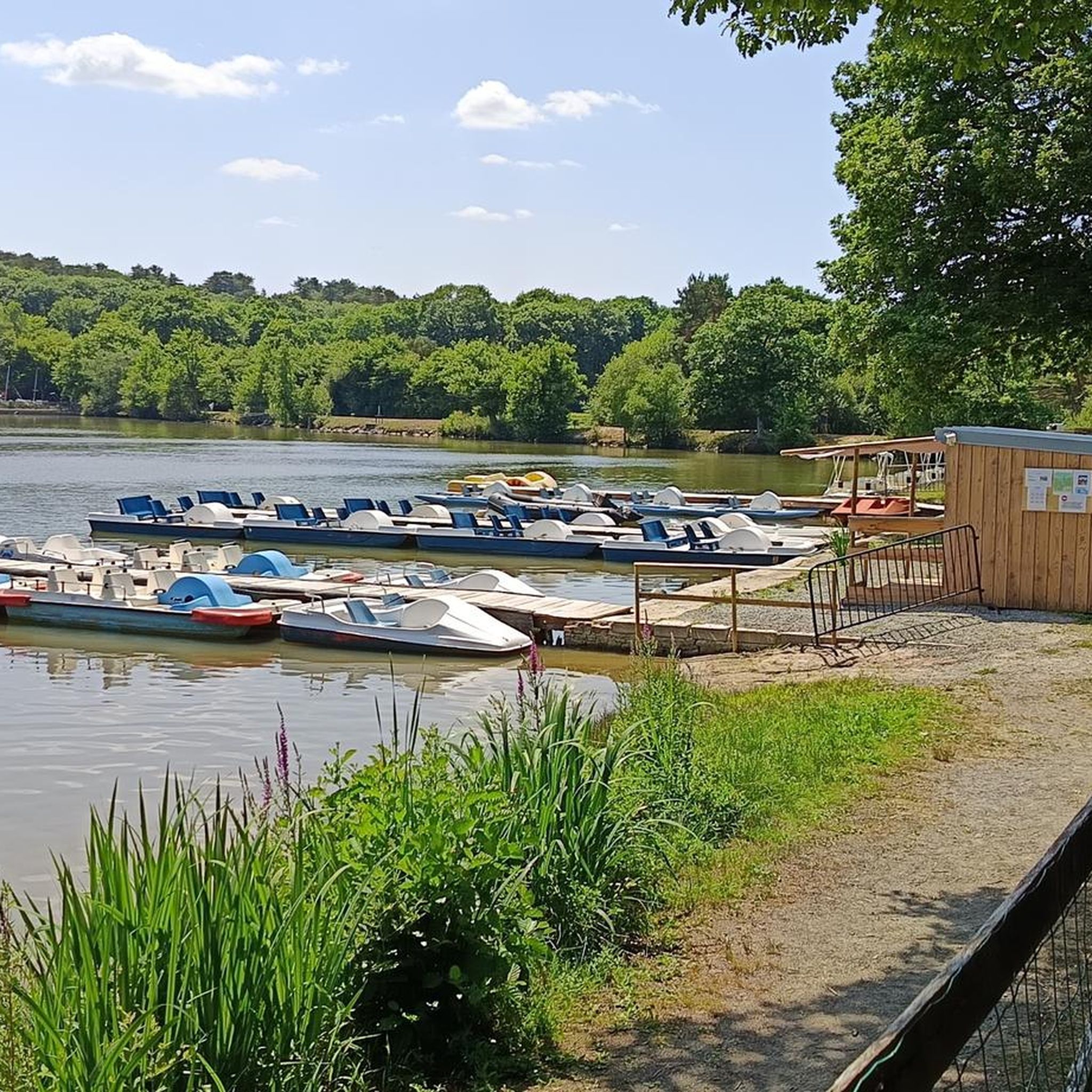
Cyclists can explore several interesting points. The Grand Pond of Sillé (Lac de Sillé) is a beautiful natural site. For those seeking a challenge, the Col de la Source near Montreuil-le-Chétif offers a notable climb. The routes also pass through the extensive Sillé Forest, providing a rich natural environment.
Are there any family-friendly road cycling options in Sillé-Le-Guillaume?
Yes, Sillé-Le-Guillaume offers several family-friendly road cycling routes. There are 3 routes classified as easy, which are generally suitable for families or beginners looking for a less strenuous ride. These routes often feature gentler gradients and scenic surroundings.
What is the best time of year for road cycling in Sillé-Le-Guillaume?
The region is suitable for road cycling throughout much of the year. Spring and autumn generally offer pleasant temperatures and beautiful scenery, especially with the changing colors of the Sillé Forest. Summer is also popular, particularly around the Lac de Sillé, though it can be warmer.
Where can I find parking for road cycling routes in Sillé-Le-Guillaume?
Parking is generally available in and around Sillé-Le-Guillaume, especially near popular starting points like the Lac de Sillé. Many routes begin from the town itself, where public parking options can be found. It's advisable to check specific route descriptions for recommended starting points and associated parking.
Can I reach Sillé-Le-Guillaume by public transport with my bike?
Sillé-Le-Guillaume has a train station, making it accessible by regional trains. Policies regarding bikes on trains can vary, so it's recommended to check with the specific rail operator (e.g., SNCF) for their current regulations on transporting bicycles, especially during peak times.
What do other road cyclists enjoy most about the routes in Sillé-Le-Guillaume?
The road cycling routes in Sillé-Le-Guillaume are highly rated by the komoot community, with an average score of 4.5 stars from 8 reviews. Cyclists often praise the diverse landscapes, the combination of forest and open countryside, and the challenging climbs like the Col de la Source.
Are there any long-distance road cycling routes available?
Yes, Sillé-Le-Guillaume offers several long-distance road cycling routes. For example, the Saint-Léonard-des-Bois – Saint-Cénéri-le-Gérei loop from Sillé-le-Guillaume is a difficult 109.1 km (67.8 miles) trail, typically completed in over 5 hours, leading through diverse landscapes.
Are there any circular road cycling routes in the area?
Many of the road cycling routes around Sillé-Le-Guillaume are designed as circular loops, allowing you to start and end in the same location. An example is the Fercé-sur-Sarthe Bridge – La Suze-sur-Sarthe loop from Sillé-le-Guillaume, a moderate 99.5 km (61.8 miles) route.
What historical sites can I see near the cycling routes?
Beyond the natural beauty, the region boasts historical attractions. The Château de Fresnay-sur-Sarthe – Jouteau Pond loop from Sillé-le-Guillaume route passes near the charming town of Fresnay-sur-Sarthe, known for its medieval castle ruins. The town of Sillé-Le-Guillaume itself features the historic Château de Sillé and an ancient center with unique Art Deco houses.
Are there routes suitable for advanced road cyclists looking for a challenge?
Absolutely. For advanced road cyclists, there are 19 difficult routes available. These routes feature significant elevation changes and longer distances. The Saint-Pierre Church – Galerie Pass loop from Sillé-le-Guillaume is a challenging 83.4 km (51.8 miles) path with substantial elevation gains.
Most popular routes around Sillé-Le-Guillaume
Most popular attractions around Sillé-Le-Guillaume

Get inspired with the komoot mobile app


Explore more
Browse the best Road cycling routes in other regions.
