The best mountain hikes around Mizoën
4.4
(9)
55
hikers
10
hikes
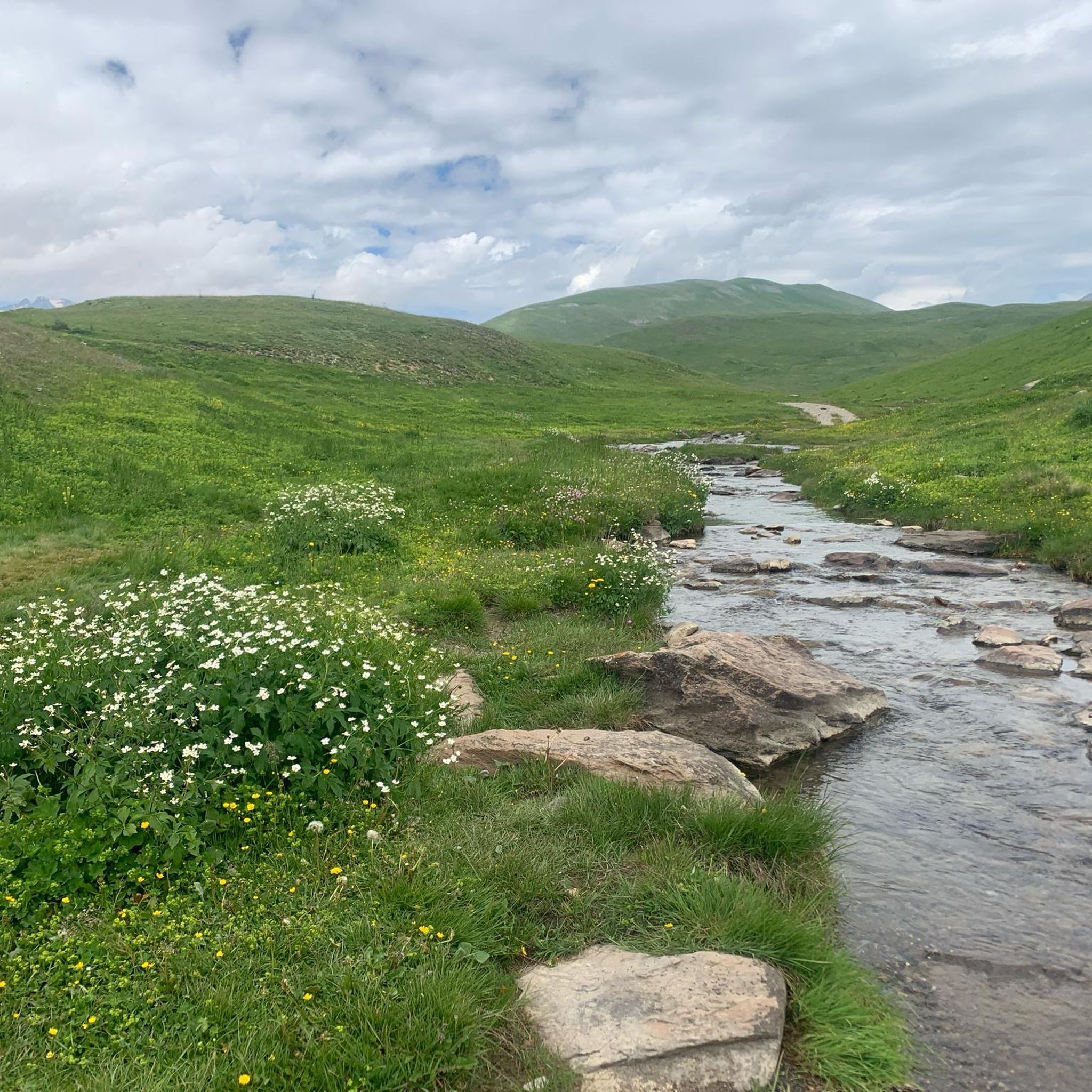
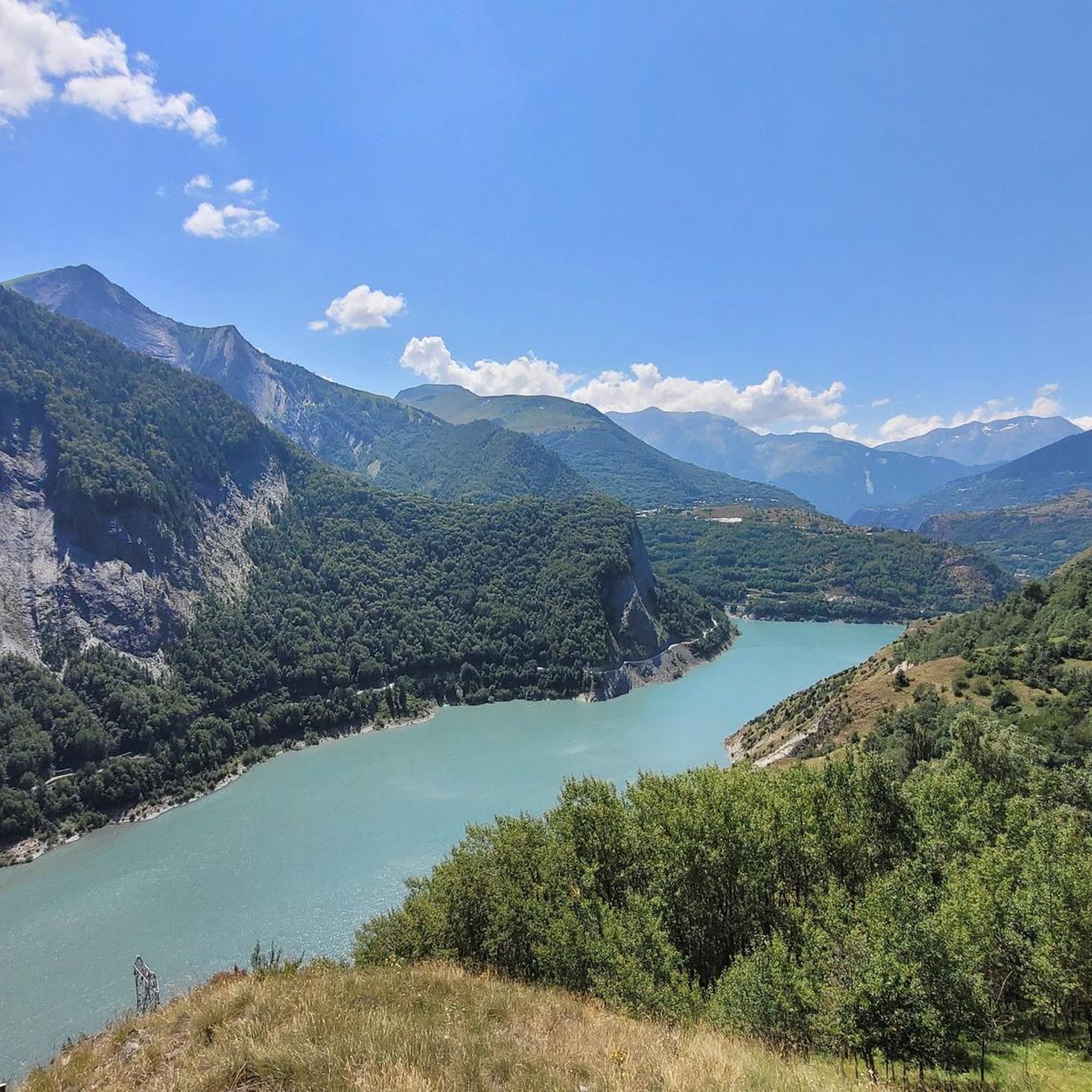
Mountaineering routes around Mizoën are set in the Oisans region, characterized by dramatic mountainous landscapes and prominent peaks. The area features views of the Meije mountain, Taillefer summits, and the Romanche gorges. Mizoën is situated on a rocky peak overlooking Chambon Lake and provides access to the Ferrand Valley. The region offers diverse climbing challenges across its numerous mountainous peaks.
Best mountaineering routes around Mizoën
- The most popular mountaineering route is Muzelle Refuge – Lake Lauvitel loop from Venosc,…
Last updated: October 4, 2026
5.0
(3)
14
hikers
15.9km
06:38
820m
820m
Hard mountaineering route. Very good fitness required. Mostly accessible paths. Sure-footedness required.
4.7
(3)
11
hikers
10.6km
04:40
720m
720m
Moderate mountaineering route. Good fitness required. Mostly accessible paths. Sure-footedness required.

7
hikers
14.1km
06:23
1,330m
1,330m
Hard mountaineering route. Very good fitness required. Mostly accessible paths. Sure-footedness required.
5.0
(2)
8
hikers
16.7km
04:54
440m
440m
Moderate mountaineering route. Good fitness required. Mostly accessible paths. Sure-footedness required.
3.0
(1)
4
hikers
6.32km
02:33
470m
470m
Moderate mountaineering route. Good fitness required. Easily-accessible paths. Suitable for all skill levels.
Get access to more routes and recommendations from other explorers.
Already have an account?
Our route recommendations are based on thousands of hikes, rides, and runs completed by other people on komoot.
Start today with a free account
Your next adventure awaits.



Tips from the Community

climb a few meters uphill from the road to the orientation table
0
0

The piste roundabout is a key point of the Alpe d’Huez resort. It is located at the start of several ski lifts.
0
0

Alpe d'Huez, located at 1,860 m in the Isère department, is a famous French ski resort that has been developing since the 1920s, known for the first automatic ski lift in 1936. A cycling mecca, it is famous for its 21 hairpin bends and the 1952 finish of Fausto Coppi in the Tour de France.
5
0
The most beautiful hill to climb in these areas.
12
0

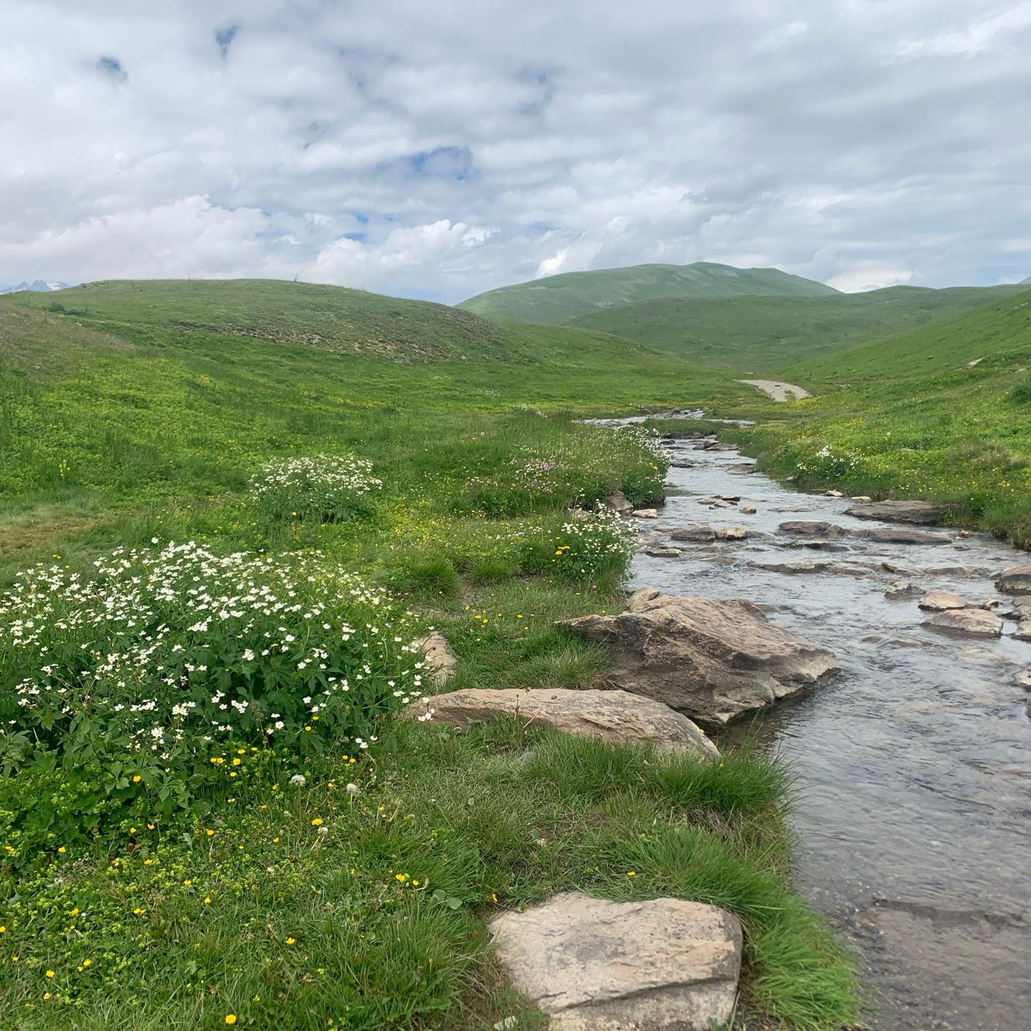
There are no crowds here, just you, the mountain, the wind, and the sensation of pedaling on one of the remote peaks of the French Alps. The summit, at almost 2,000 meters, offers a 360° panorama that erases fatigue and ignites the cycling spirit.
5
0

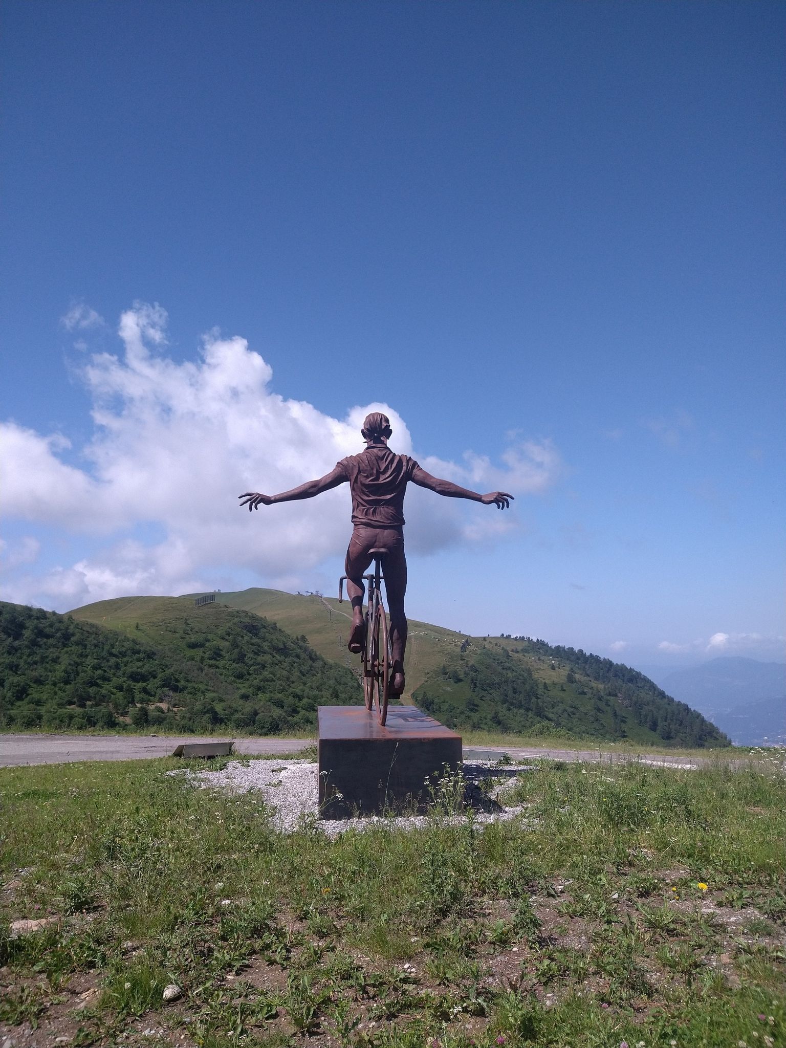
A great monument at the Tour de France.
2
0

Make sure you're up there before 2 p.m. if you want to eat. In the summer, after 2 p.m., only drinks or cake are allowed.
0
0
The path to the lake is beautiful. It can be a bit challenging at times, but with good footwear, it's manageable. At the lake, you can hike slightly uphill to a refuge (a 20-minute walk).
0
0
Frequently Asked Questions
How many mountaineering routes can I explore around Mizoën?
There are over 15 dedicated mountaineering routes around Mizoën, offering a variety of challenges and scenic beauty. These routes are set amidst the dramatic mountainous landscapes of the Oisans region, providing stunning views of peaks like the Meije mountain and the Romanche gorges.
What kind of terrain and difficulty can I expect on mountaineering routes near Mizoën?
Mountaineering routes in Mizoën range from moderate to difficult, characterized by significant elevation gains and varied mountain terrain. You'll encounter majestic mountain vistas, high-altitude lakes, and dramatic gorges. For example, the Muzelle Refuge – Lake Lauvitel loop from Venosc is a difficult route with over 1700 meters of elevation gain.
Are there any circular mountaineering routes in the Mizoën area?
Yes, several routes offer a circular experience, allowing you to start and end in the same location. An example is the Lake Lérié – Black Lake loop from La Grave, which explores high-altitude lakes and offers panoramic views.
What natural landmarks or points of interest can I see along the mountaineering routes?
The routes around Mizoën are rich with natural beauty. You can discover stunning lakes such as Lake Lérié and the Black Lake. The region also features impressive mountain passes like the Sarenne Pass and the Pas de la Confession, which offers one of the most beautiful viewpoints in the area.
Are there any routes that feature waterfalls?
Yes, some routes incorporate waterfalls into their scenic journey. The Waterfall – Muzelle Refuge loop from Champ du Moulin is a notable example, leading you through varied mountain terrain with waterfall views.
What do other mountaineers enjoy most about the routes in Mizoën?
The mountaineering routes in Mizoën are highly rated by the komoot community, with an average score of 4.4 out of 5 stars from over 10 reviews. Users frequently praise the majestic mountain vistas, the challenge of the ascents, and the serene beauty of the high-altitude lakes.
Are there any mountaineering routes suitable for families with older children?
While many routes are classified as difficult, some moderate options might be suitable for active families with mountaineering experience. It's essential to check the specific route details, including distance and elevation, to ensure it matches your family's capabilities. The region's diverse terrain means there are options for various skill levels.
What is the best time of year for mountaineering in Mizoën?
The best time for mountaineering in Mizoën is typically during the warmer months, from late spring to early autumn, when trails are generally free of snow and weather conditions are more stable. Always check local weather forecasts and trail conditions before heading out, as high-altitude environments can be unpredictable.
Are there any mountain huts available for multi-day expeditions?
Yes, for those planning multi-day expeditions, Mizoën provides access to mountain huts such as Refuge Les Mouterres and Refuge Les Clôts. These huts offer essential shelter and facilities in the high-altitude environment, making longer treks possible.
Where can I find parking for mountaineering trails near Mizoën?
Parking availability varies by trailhead. Many routes, like those starting from La Grave or Champ du Moulin, have designated parking areas. It's advisable to research specific trailhead access points for the route you plan to undertake to confirm parking options.
Can I reach any of the mountaineering trailheads by public transport?
While Mizoën is a mountain village, public transport options to specific trailheads can be limited. Some larger towns in the Oisans region may offer bus services, but direct access to all mountaineering starting points might require a car. It's best to check local transport schedules for the specific area you intend to visit.
Are there any routes that offer views of the Chambon Lake?
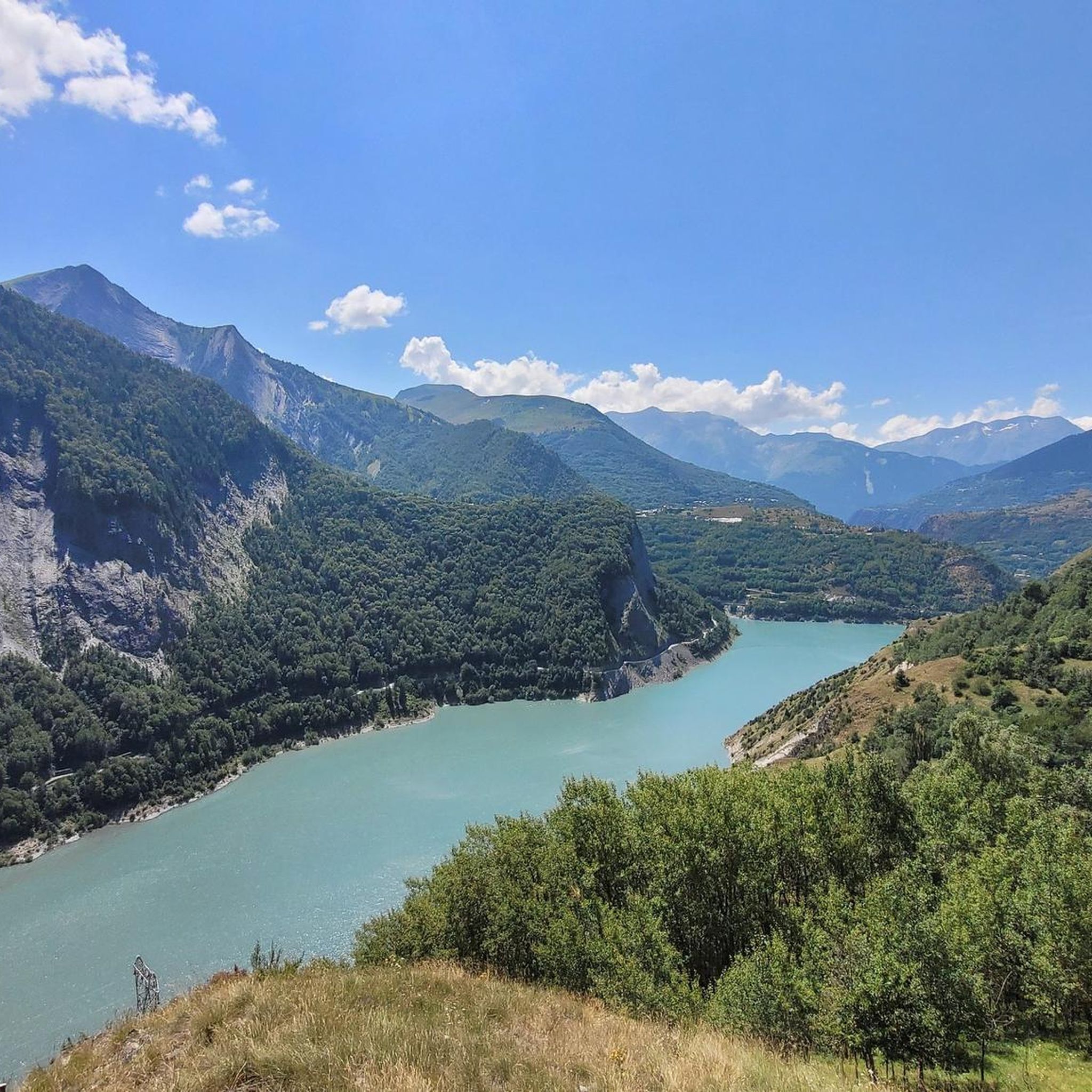
Mizoën itself is situated on a rocky peak overlooking Chambon Lake, so many routes in the vicinity will offer panoramic views of this beautiful body of water, especially from higher elevations or viewpoints accessible from the village.
Most popular attractions around Mizoën

Get inspired with the komoot mobile app


Explore more
Browse the best Mountain Hikes & Routes in other regions.
