The best walks and hikes around Saint-Thibaud-De-Couz
4.5
(2255)
18,583
hikers
460
hikes
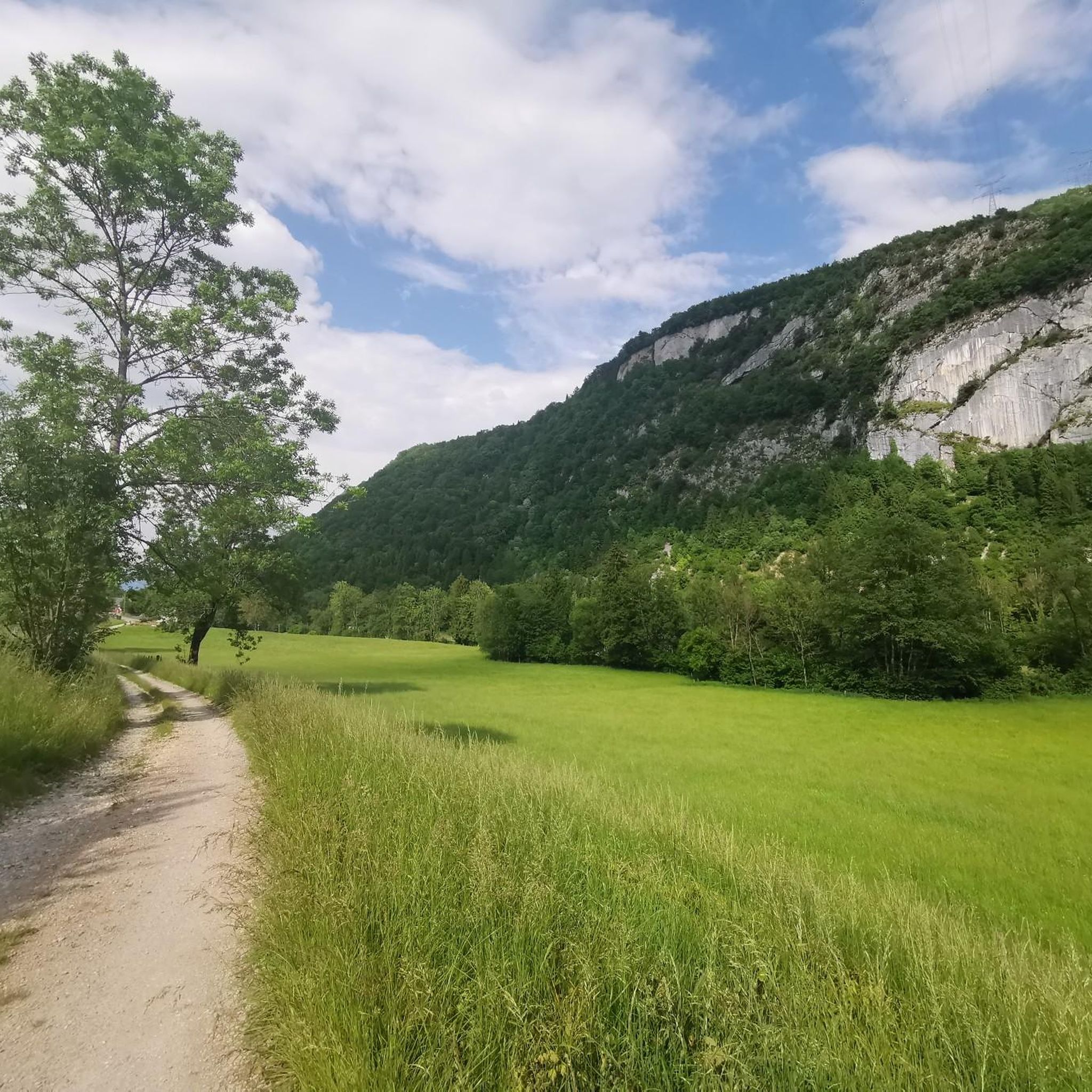
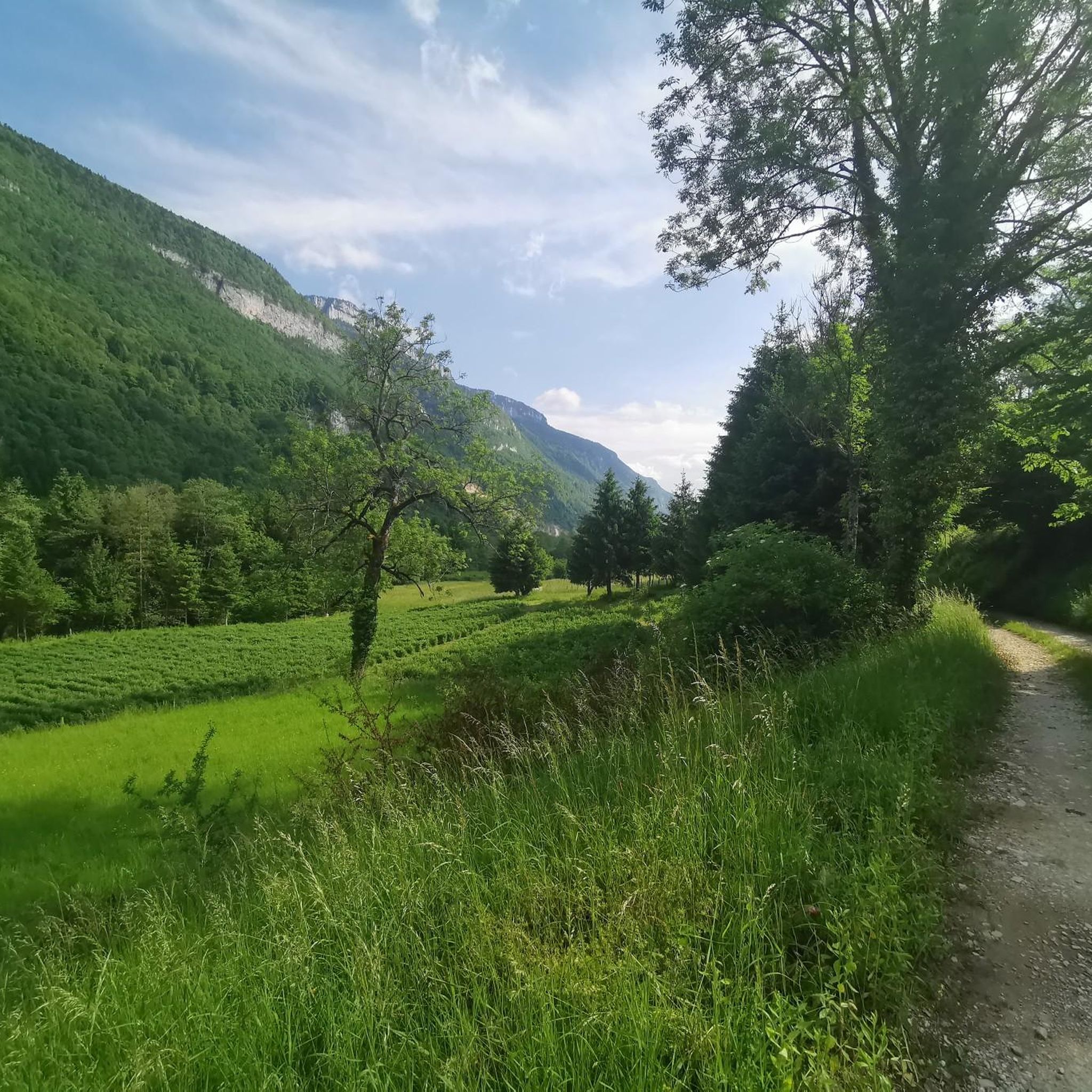
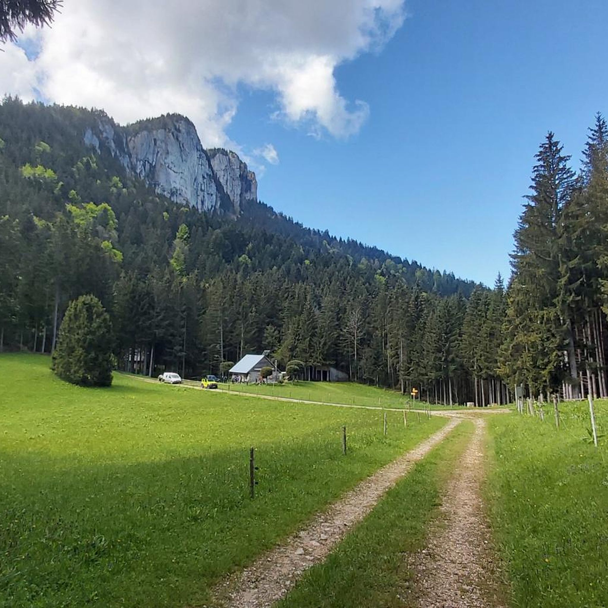
Hiking around Saint-Thibaud-De-Couz offers access to the diverse landscapes of the Chartreuse Massif. The region is characterized by its limestone formations, dense forests, and valleys, providing varied terrain for outdoor activities. Trails often feature ascents to viewpoints and paths through woodlands. The area provides a range of routes suitable for different hiking preferences.
Best hiking trails around Saint-Thibaud-De-Couz
- The most popular hiking route is Pas du Cuert – La Cochette Cross loop from Le Désert d'Entremont, a 3.7 miles…
Last updated: July 15, 2026
4.6
(36)
321
hikers
21.1km
08:14
1,210m
1,210m
Hard hike. Very good fitness required. Sure-footedness, sturdy shoes and alpine experience required.
4.5
(22)
321
hikers
6.00km
02:11
370m
370m
Moderate hike. Good fitness required. Easily-accessible paths. Suitable for all skill levels.

Sign up for free
4.7
(29)
214
hikers
12.8km
05:15
840m
840m
Hard hike. Very good fitness required. Sure-footedness, sturdy shoes and alpine experience required.
4.6
(9)
171
hikers
9.46km
03:39
480m
480m
Hard hike. Good fitness required. Sure-footedness, sturdy shoes and alpine experience required.
4.6
(32)
313
hikers
19.4km
08:22
1,350m
1,350m
Hard hike. Very good fitness required. Sure-footedness, sturdy shoes and alpine experience required.
Get access to more routes and recommendations from other explorers.
Sign up for free
Already have an account?
Our route recommendations are based on thousands of hikes, rides, and runs completed by other people on komoot.
Start today with a free account
Your next adventure awaits.
Login or Signup

Tips from the Community

Caution: This section involves a semi-stop and traverse along a cliff face without a handrail. Not recommended for people prone to vertigo or for children.
0
0

Magnificent view of the heart of the Chartreuse region, the plain of St. Laurent du Pont, and Mont Blanc in the background, seemingly within arm's reach. The access path via the ridge that connects to Outheran is very straightforward. The climb from St. Jean de Couz on the SW side is quite complicated. The path is barely visible and rather difficult to follow on a very steep face. The final section leads up a very steep couloir, through a slippery and unstable scree slope. Furthermore, the exposure to falling rocks is quite significant; extreme caution is required (helmet recommended). The final section consists of short climbing sections and very steep ascents in fairly exposed grassy terrain (fairly straightforward, but exposed).
0
0

Very beautiful view of the 2 lakes 👌
0
0

Done today, lots of snow at the top, the climbing sections are dry and the descent too
0
0

Comfortable shelter if night planned on the trail
0
0

One of the most beautiful views I have ever seen, breathtaking view of Lake Aiguebelette, MAGNIFICENT.
2
0
Large waterfall on the ascent of Mont Grelle or Beauvoir
0
0
Summit of Mont Grelle, highest point, at 1425 m altitude.
1
0
Frequently Asked Questions
How many hiking trails are available around Saint-Thibaud-De-Couz?
There are over 450 hiking routes available around Saint-Thibaud-De-Couz, catering to a wide range of abilities and preferences. You'll find everything from easy strolls to challenging mountain ascents.
Are there any easy hikes suitable for beginners or families in Saint-Thibaud-De-Couz?
Yes, Saint-Thibaud-De-Couz offers over 120 easy hiking routes. These trails are generally shorter with less elevation gain, making them ideal for beginners or families looking for a relaxed outdoor experience. Many of these routes wind through pleasant forests and offer gentle slopes.
What kind of terrain can I expect on hikes in this region?
The hiking terrain around Saint-Thibaud-De-Couz is diverse, characterized by the Chartreuse Massif's limestone formations, dense forests, and valleys. You can expect paths through woodlands, ascents to scenic viewpoints, and trails that traverse varied landscapes, from gentle slopes to more rugged mountain paths.
Are there any circular walks available in Saint-Thibaud-De-Couz?
Many of the trails in the region are circular, allowing you to start and end at the same point. An example of a moderate circular route is the Entremont-le-Vieux loop from Le Désert d'Entremont, which offers a good mix of forest paths and views.
Where can I find parking for hiking trails in Saint-Thibaud-De-Couz?
Parking is generally available at the starting points of many popular trails and in nearby villages. For instance, the Corbeley Rock – Planet Pass loop starts from Parking des Chantres, which is a designated parking area for hikers. It's always advisable to check the specific tour details on komoot for parking information related to your chosen route.
Are there any challenging hikes with significant elevation gain?
Absolutely. For experienced hikers seeking a challenge, there are nearly 100 difficult routes. The Pointe de la Gorgeat – Mount Joigny loop from Le Grand Carroz is a demanding trail with significant elevation, offering rewarding elevated views over the landscape.
What are some interesting natural landmarks or attractions to see while hiking?
The region offers several natural highlights. You can discover the Waterfalls on the Nant du Pontet or explore the unique geological formations like François I's Cave. The area is also home to various mountain passes, such as Granier Pass, which offer stunning vistas.
What do other hikers enjoy most about the trails in Saint-Thibaud-De-Couz?
The trails around Saint-Thibaud-De-Couz are highly rated by the komoot community, with an average score of 4.5 stars from over 2,100 reviews. Hikers often praise the varied terrain, the peaceful forest paths, and the panoramic views from higher elevations, especially those found on routes like the Mont Grelle Summit loop.
Can I find trails that lead to viewpoints or summits?
Yes, many routes in the area feature ascents to viewpoints and summits, providing spectacular panoramic vistas of the Chartreuse Massif. The Mont Grelle Summit (1,425 m) – Mont Grêle Viewpoint loop is a prime example, offering extensive views after a challenging climb.
Are there any trails that pass by rivers or streams for a refreshing experience?
Yes, the region's valleys and forests are often traversed by natural water features. You can find trails that follow the Grenant Stream or pass by the Waterfalls on the Nant du Pontet, offering picturesque and refreshing spots along your hike.
What is the best time of year to go hiking in Saint-Thibaud-De-Couz?
While hiking is possible year-round, the spring, summer, and autumn months generally offer the most pleasant conditions. Spring brings blooming flora, summer provides warm weather for higher altitude trails, and autumn showcases vibrant fall foliage. Winter hiking is also an option, but some higher routes may require snowshoes or specific winter gear.
Are there any historical or cultural points of interest along the trails?
Beyond natural beauty, the area holds some historical charm. You might encounter landmarks such as the Notre-Dame du Frou Statue or the Old Saint-Martin Bridge, which add a cultural dimension to your hiking experience.
Most popular routes around Saint-Thibaud-De-Couz
Most popular attractions around Saint-Thibaud-De-Couz

Get inspired with the komoot mobile app


Explore more
Browse the best Hikes in other regions.
