The best running trails around La Chapelle-Blanche
4.4
(103)
5,232
runners
383
runs
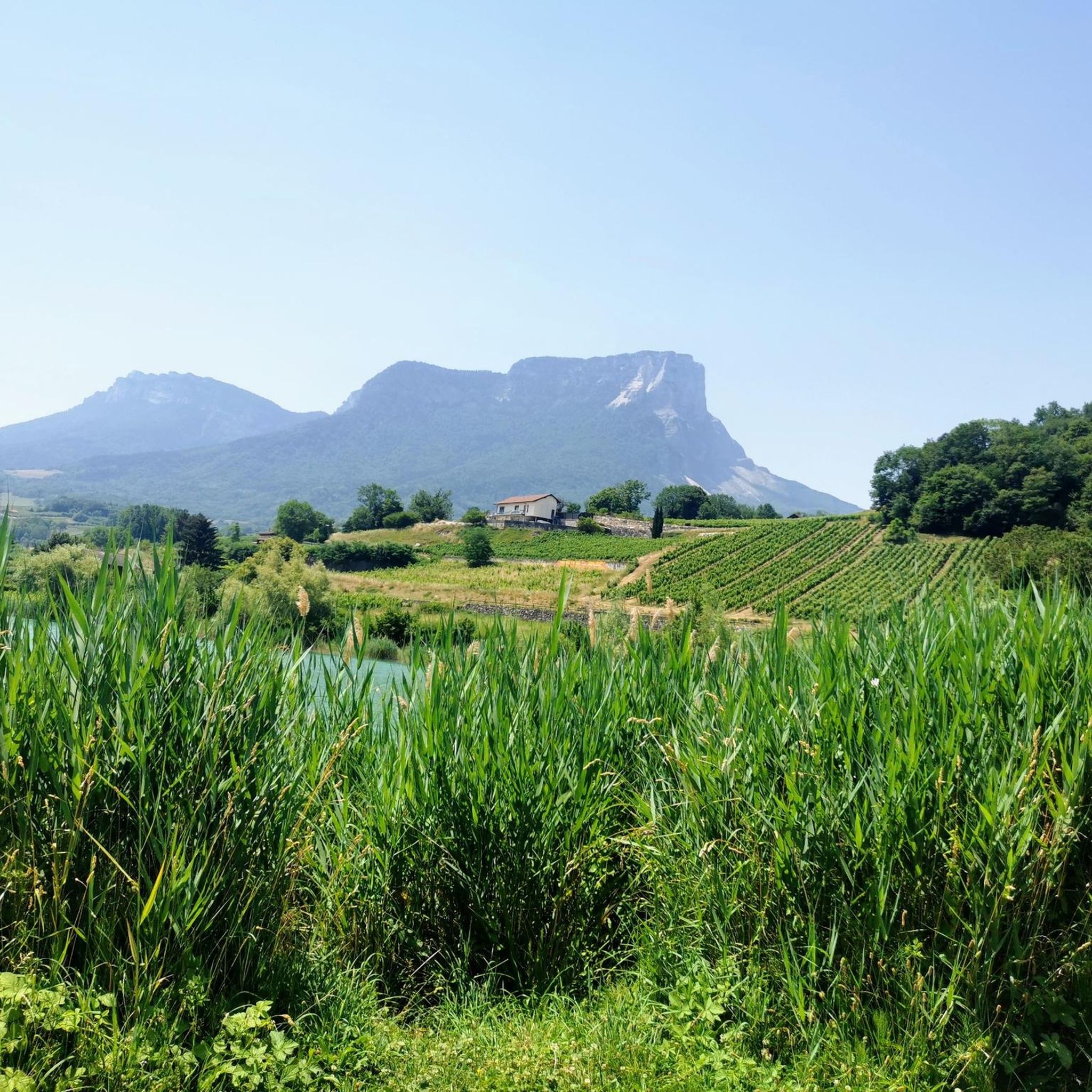
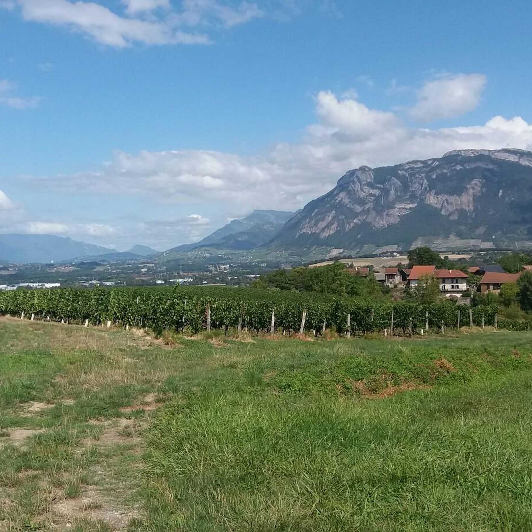
Jogging routes around La Chapelle-Blanche offer diverse terrain for runners. The region features a mix of forest areas, rocky outcrops, and open valleys, with altitudes ranging from approximately 296 meters to 732 meters. This varied landscape provides both gentle paths and more challenging ascents, often with panoramic views of Alpine massifs like Belledonne and Chartreuse. Serene water bodies such as Lac Saint-Clair also provide picturesque backdrops for running.
Best jogging routes around La Chapelle-Blanche
- The most popular jogging route is…
Last updated: July 15, 2026
4.0
(1)
66
runners
10.6km
01:07
20m
20m
Moderate run. Good fitness required. Mostly paved surfaces. Suitable for all skill levels.
14
runners
18.0km
02:17
590m
590m
Hard run. Very good fitness required. Sure-footedness, sturdy shoes and alpine experience required.

Sign up for free
13
runners
8.05km
00:58
300m
300m
Hard run. Very good fitness required. Mostly paved surfaces. Suitable for all skill levels.
3.0
(1)
12
runners
9.44km
00:59
80m
80m
Moderate run. Good fitness required. Mostly paved surfaces. Suitable for all skill levels.
9
runners
7.63km
00:48
60m
60m
Moderate run. Good fitness required. Mostly paved surfaces. Suitable for all skill levels.
Get access to more routes and recommendations from other explorers.
Sign up for free
Already have an account?
Our route recommendations are based on thousands of hikes, rides, and runs completed by other people on komoot.
Start today with a free account
Your next adventure awaits.
Login or Signup


Tips from the Community


Le Bar des Alpes is a perfect place for a coffee break in La Rochette. At lunchtime, there is a generous menu!
0
0

Lac Saint Clair is a small lake just outside La Rochette. There are plenty of places to have a picnic and enjoy the lake during the summer months.
1
0

The Lac de Sainte Hélène, a natural lake fed by the Coisetan stream, is a preserved area where the banks remain wild. A landscaped path accessible to people with reduced mobility allows you to go around the lake away from the banks. Ideal picnic point and departure point for hikes. No swimming.
3
0


Frequently Asked Questions
How many running routes are available around La Chapelle-Blanche?
There are over 390 jogging routes in the La Chapelle-Blanche area, offering a wide variety of options for runners of all levels. These include 32 easy routes, 201 moderate routes, and 162 difficult routes, ensuring there's something for everyone.
What kind of terrain can I expect on the running trails in La Chapelle-Blanche?
The region around La Chapelle-Blanche offers a diverse landscape for runners. You'll find a mix of forest paths, rocky outcrops, and open valleys. The altitude varies from approximately 296 meters to 732 meters, providing both gentle inclines and more challenging ascents. Many routes offer breathtaking panoramic views of Alpine massifs like Belledonne, Chartreuse, and Vercors.
Are there any easy or beginner-friendly jogging routes?
Yes, La Chapelle-Blanche has 32 easy running routes perfect for beginners or those looking for a relaxed jog. While specific easy routes are not detailed here, you can filter by difficulty on komoot to find the most suitable options. Many of these will feature gentler inclines and well-maintained paths.
Can I find circular running routes in the area?
Absolutely! Many of the running trails around La Chapelle-Blanche are circular, allowing you to start and finish at the same point. A popular example is the Lake Lône loop from Laissaud, which is 7.2 miles (11.5 km) long and offers scenic views.
What do other runners say about the trails in La Chapelle-Blanche?
The running routes in La Chapelle-Blanche are highly regarded by the komoot community, with an average rating of 4.4 stars from over 90 reviews. More than 4,900 runners have explored these varied terrains using komoot, often praising the diverse scenery, well-maintained paths, and the stunning mountain and lake views.
Are there any running routes that pass by lakes or water bodies?
Yes, the region is home to several serene water bodies that make for picturesque running backdrops. The Bar des Alpes – Lake Saint Clair loop from Détrier is a moderate 5.9 miles (9.5 km) path that winds around Lake Saint Clair. Other notable lakes in the vicinity include Lake Saint-André and Lac de la Thuile.
Are the running trails suitable for families?
Many of the easier and moderate routes around La Chapelle-Blanche are suitable for families, especially those with older children who enjoy outdoor activities. The varied terrain and scenic views provide an engaging experience. For shorter, less strenuous options, consider routes like the Running loop from Villaroux, which is 3.9 miles (6.4 km).
What are some scenic viewpoints I can reach while jogging?
The region offers numerous opportunities for scenic views. From higher elevations, you can enjoy panoramic vistas of the Belledonne, Chartreuse, Vercors, and Bauges massifs, and even Mont Blanc on clear days. Specific viewpoints include Watch Rock and the View of Lake Saint-André and the Belledonne Range.
Are dogs allowed on the running trails?
Generally, dogs are welcome on most outdoor trails in the La Chapelle-Blanche area, provided they are kept under control, especially in nature areas or near livestock. It's always a good idea to keep your dog on a leash and carry waste bags to maintain the cleanliness and enjoyment of the trails for everyone.
Is parking available near the trailheads?
While specific parking information for every trailhead isn't provided, most popular running routes and outdoor activity areas in the region typically have designated parking spaces or roadside parking available near their starting points. It's advisable to check local signage or route descriptions for specific parking recommendations.
Are there any longer or more challenging running routes?
Yes, for experienced runners seeking a challenge, there are 162 difficult routes available. An example of a more demanding route is the Tour de Montmayeur - Ouest loop from Les Granges, which spans 18.4 km (11.4 miles) with significant elevation gain.
What are some natural monuments or landmarks to look out for?
Beyond the stunning mountain views, the area features beautiful natural monuments. You can explore various lakes like Lake Saint-André and Lac de Sainte Hélène. For those interested in peaks, Les Plagnes and the Mont Granier Summit Cross offer impressive sights.
Most popular routes around La Chapelle-Blanche
Most popular attractions around La Chapelle-Blanche

Get inspired with the komoot mobile app


Explore more
Browse the best Running Trails & Routes in other regions.
