The best cycling routes around Le Bouchage
4.5
(695)
4,479
riders
131
rides
Touring cycling routes around Le Bouchage offer a diverse landscape, characterized by the proximity to the Rhône river and varied terrain that includes both gentle stretches and more challenging ascents. The region features a mix of open countryside and areas with notable elevation changes, providing options for different cycling preferences. While some routes follow river valleys, others climb towards passes, offering panoramic views.
Best touring cycling routes around Le Bouchage
- The most popular touring cycling route is Groslée Bridge –…
Last updated: October 1, 2026
5.0
(2)
18
riders
60.0km
03:54
780m
780m
Hard bike ride. Very good fitness required. Mostly paved surfaces. Suitable for all skill levels.
5.0
(6)
22
riders
73.4km
04:54
1,120m
1,120m
Hard bike ride. Very good fitness required. Mostly paved surfaces. Suitable for all skill levels.

5.0
(1)
19
riders
53.1km
03:29
730m
730m
Hard bike ride. Very good fitness required. Mostly paved surfaces. Suitable for all skill levels.
5.0
(6)
14
riders
48.7km
03:03
450m
450m
Moderate bike ride. Good fitness required. Mostly paved surfaces. Suitable for all skill levels.
5.0
(1)
9
riders
78.0km
05:25
1,470m
1,470m
Hard bike ride. Very good fitness required. Mostly paved surfaces. Suitable for all skill levels.
Get access to more routes and recommendations from other explorers.
Already have an account?
Our route recommendations are based on thousands of hikes, rides, and runs completed by other people on komoot.
Start today with a free account
Your next adventure awaits.

Tips from the Community

The site is freely accessible on foot and offers four major marked routes to gently explore its riches.
0
0


A nice little village, ideal for a break
0
0
Neither the castle nor the park are open to the public
0
0
Multi-purpose washhouse in the commune of Brangues. It is fed by the Reynieu stream. Its source is in Arandon.
1
0

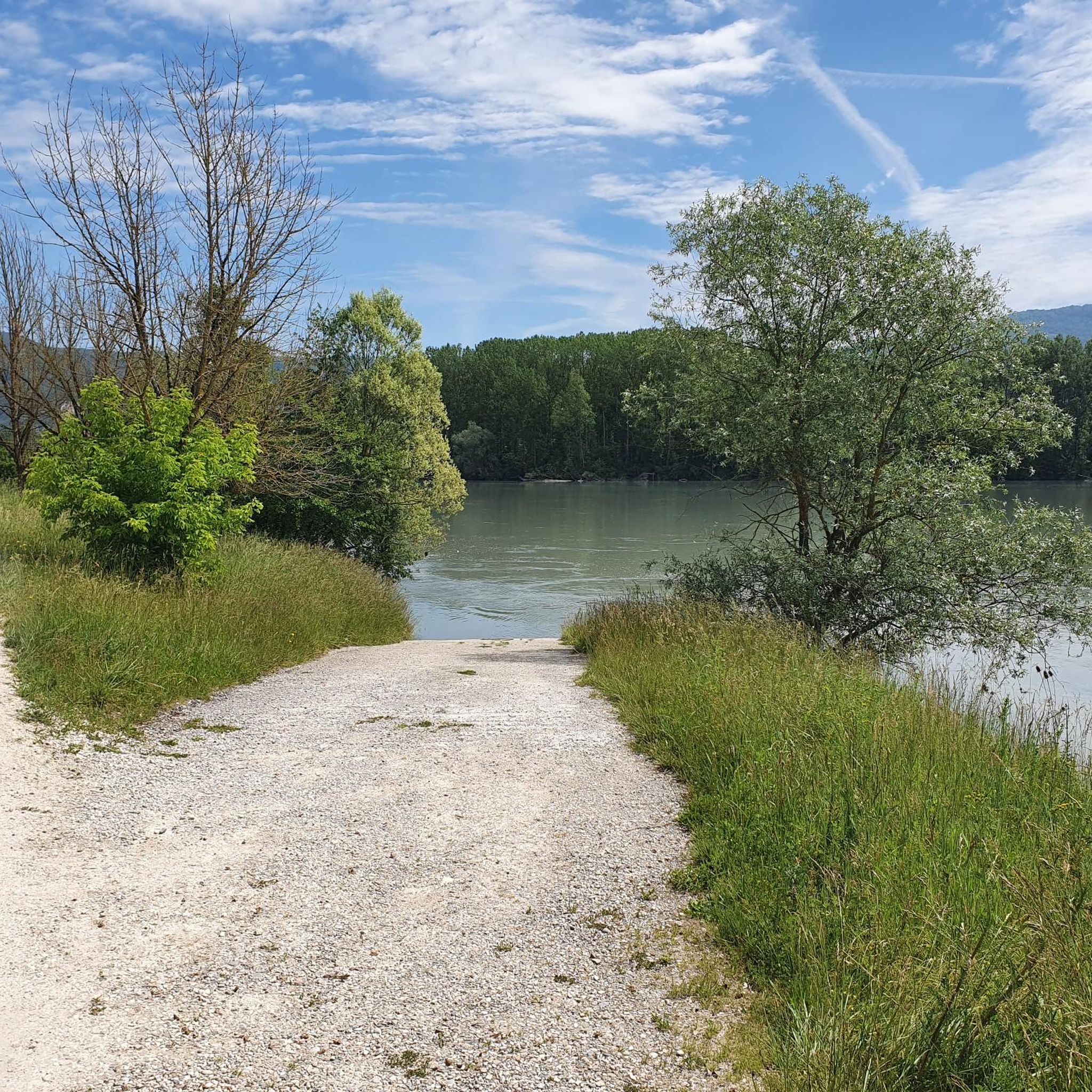
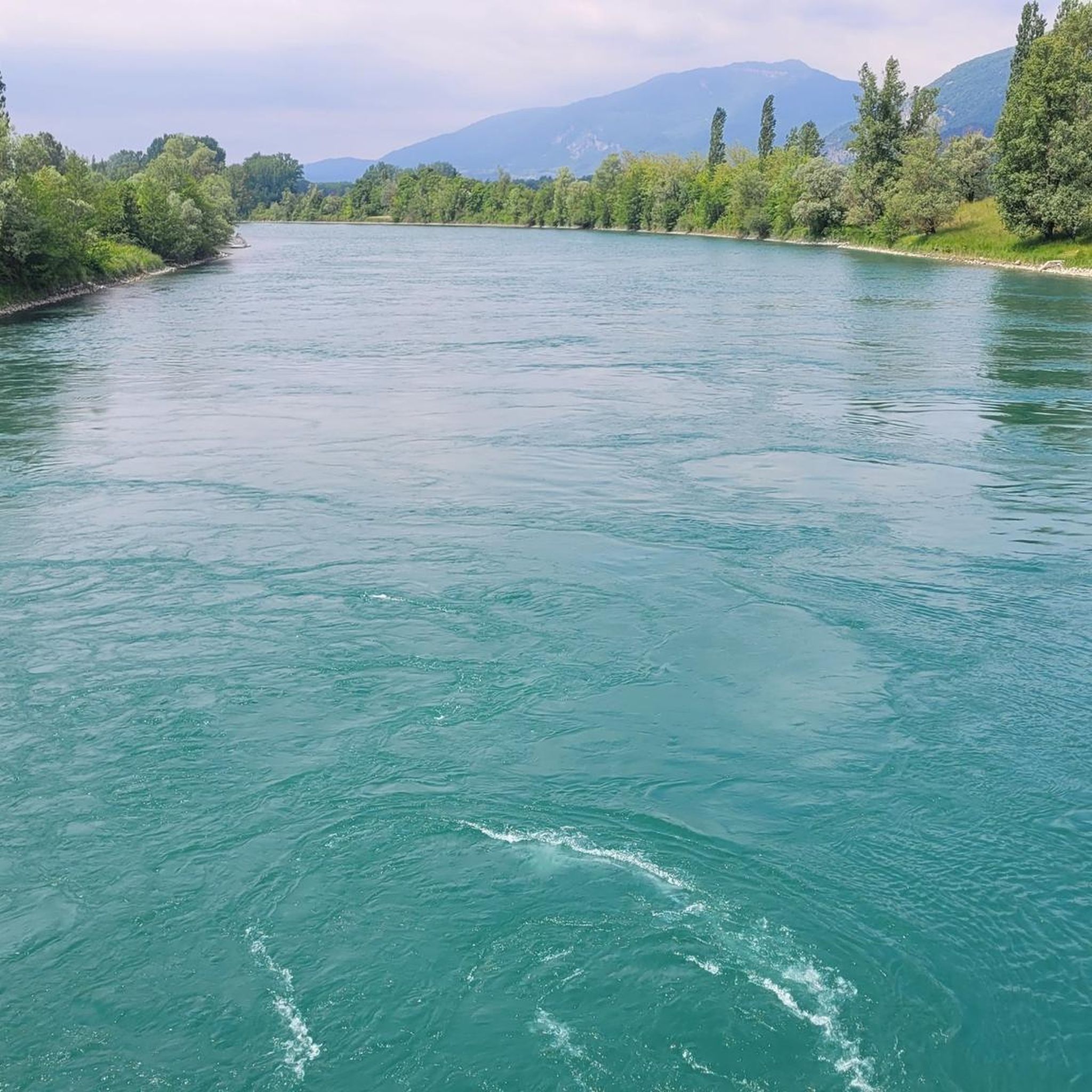
Beautiful view of the Rhône and the Jura mountains
0
0

A big surprise was the reference to the grave of this poet and philosopher. His grave is located in a corner of the park of the Château de Brangues and is open to the public.
0
0

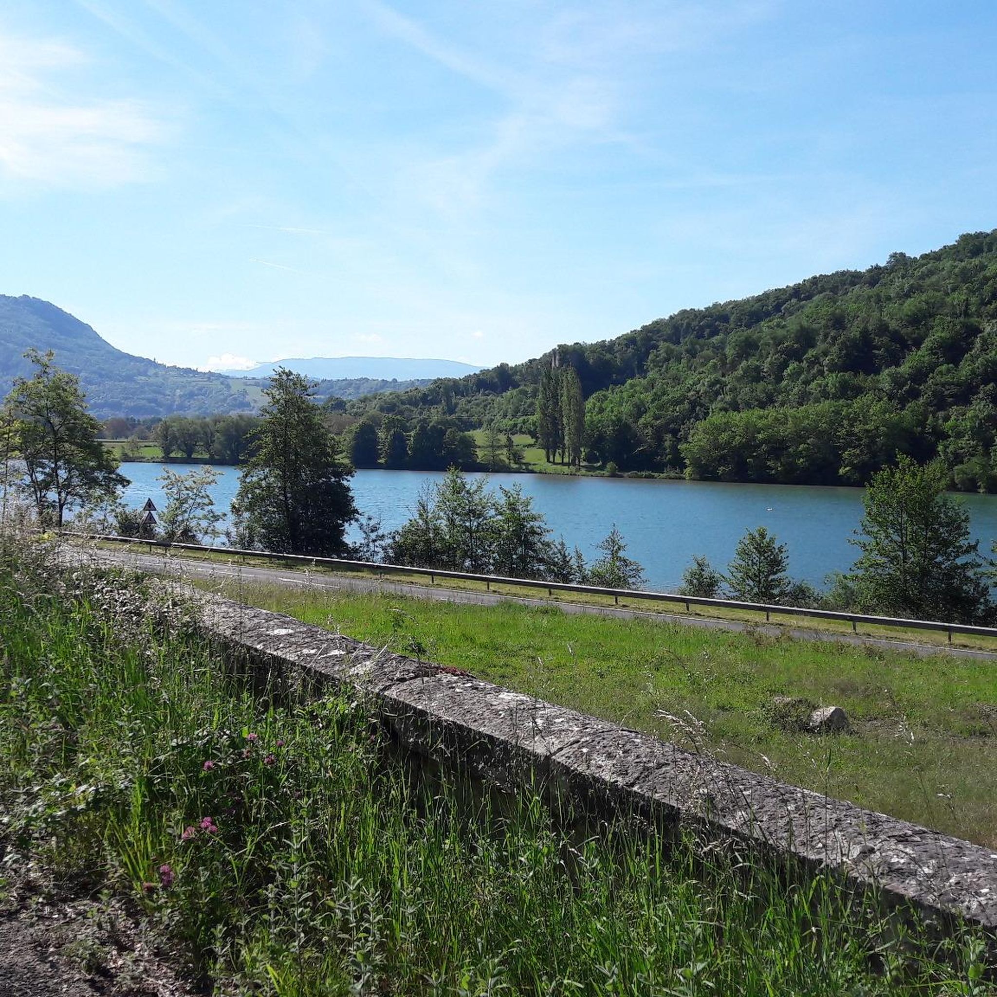
Lake Ambléon is located in the Bas-Bugey massif, in a valley of the Tentanet mountain (712 m above sea level). Its area is 5.58 hectares. Recognized as a natural zone of ecological, fauna and flora interest (ZNIEFF) type I, it is made up of a marshy part and a deeper zone, which however does not exceed ten meters in depth Lake Ambléon, accessible by the D41 road which connects Ambléon to Lhuis, is frequented in summer by fishermen and walkers. Nearby a stele was erected in memory of the Ambléon maquis. Source: Wikipedia
3
0
Frequently Asked Questions
How many touring cycling routes are available around Le Bouchage?
There are over 120 touring cycling routes around Le Bouchage, offering a wide variety of options for different skill levels and preferences.
What kind of terrain can I expect on touring cycling routes near Le Bouchage?
The touring cycling routes around Le Bouchage offer a diverse landscape, characterized by the proximity to the Rhône river and varied terrain. You'll find a mix of open countryside, gentle stretches along river valleys, and more challenging ascents towards passes, providing options for different cycling preferences.
Are there touring cycling routes suitable for beginners or families in Le Bouchage?
Yes, Le Bouchage offers numerous easy routes perfect for beginners or family outings. For example, the Château de Brangues – Groslée Bridge loop from Morestel is an easy 19.1 km path with a relatively flat profile, making it suitable for a relaxed ride through the local landscape.
What are some challenging touring cycling routes around Le Bouchage?
For experienced touring cyclists seeking a challenge, routes with significant elevation gain are available. Consider the Groslée Bridge – Portes Pass Summit loop from Saint-Victor-de-Morestel, a 65.0 km trail with over 1100 meters of elevation gain, or the Nice path – Vignieu Church loop from Vézeronce-Curtin, which covers 46.9 km with over 900 meters of ascent.
Are there any scenic viewpoints or natural attractions along the touring cycling routes?
Absolutely! Many routes offer scenic views, especially along the Rhône river. You can also explore natural attractions like Lac d'Ambléon or the impressive Glandieu Waterfall. The Groslée Bridge – Beautiful view over the Rhône loop from Saint-Victor-de-Morestel is specifically noted for its scenic river views.
What historical or cultural landmarks can I explore while cycling in the area?
Beyond the natural beauty, you can encounter historical sites. The Groslée Bridge itself is a notable landmark. While cycling, you might also pass by sites like the Chateau de Chapeau Cornu or the Tomb of Paul Claudel, adding a cultural dimension to your ride.
Are there any long-distance touring cycling options in Le Bouchage?
Yes, for those looking for longer rides, there are several options. Routes like the Groslée Bridge – Portes Pass Summit loop from Saint-Victor-de-Morestel (65.0 km) or the Groslée Bridge – Lac d'Ambléon loop from Vézeronce-Curtin (63.5 km) provide substantial distances for extended touring.
What do other touring cyclists say about the routes in Le Bouchage?
The touring cycling routes in Le Bouchage are highly regarded by the komoot community, holding an average rating of 4.6 stars from over 600 reviews. Cyclists often praise the varied terrain, from gentle river paths to challenging ascents, and the beautiful views over the Rhône river and surrounding countryside.
Are the touring cycling routes in Le Bouchage typically circular?
Many of the touring cycling routes around Le Bouchage are designed as loops, allowing you to start and finish at the same point. This is convenient for those who drive to a starting point, such as the popular Groslée Bridge – Beautiful view over the Rhône loop from Saint-Victor-de-Morestel.
What is the best time of year to go touring cycling in Le Bouchage?
While specific data isn't provided, the region's varied terrain and proximity to the Rhône suggest pleasant cycling conditions during spring and autumn, when temperatures are moderate. Summer can also be enjoyable, though it might be warmer, especially on routes with less shade. Always check local weather forecasts before heading out.
Are there any specific cycle paths or dedicated routes in the area?
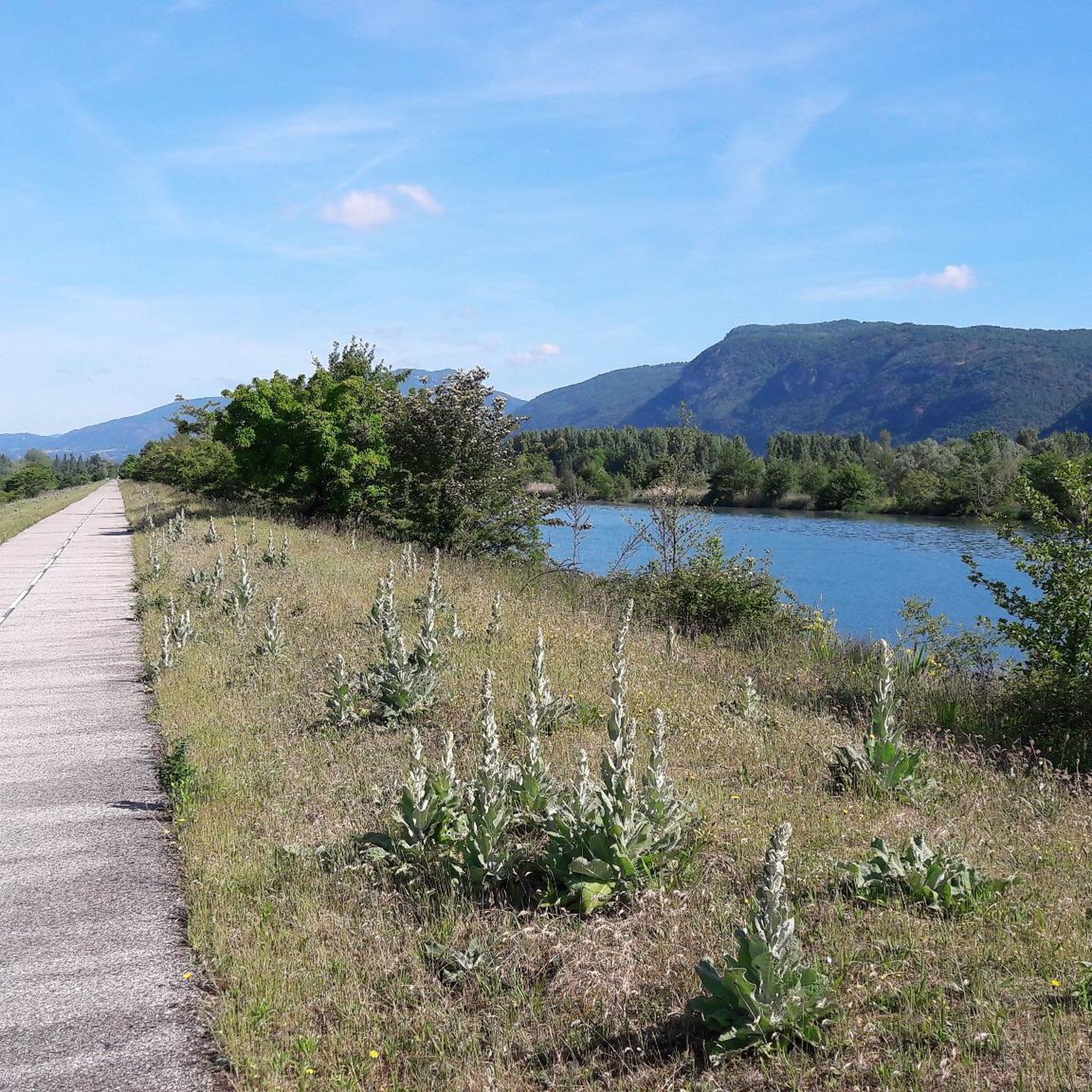
Yes, the region benefits from the presence of the ViaRhôna Cycle Path Along the Rhône Near Brens, which offers dedicated sections for cycling. This path provides a great option for enjoying the river scenery on a well-maintained route.
Most popular routes around Le Bouchage
Most popular attractions around Le Bouchage

Get inspired with the komoot mobile app


Explore more
Browse the best Cycling routes in other regions.
