The best mountain hikes around Lathuile
4.6
(62)
457
hikers
35
hikes
Mountaineering routes around Lathuile are set within Italy's Aosta Valley, characterized by imposing peaks like Mont Blanc and the Rutor Massif. The terrain features diverse alpine landscapes, including glaciers, high-altitude lakes, and dramatic waterfalls. This region offers a range of challenges, from accessible paths to rugged trails, making it suitable for varied mountaineering experiences.
Best mountaineering routes around Lathuile
- The most popular mountaineering route is Col de la Forclaz loop from Doussard, a 6.0 miles (9.6 km) trail that…
Last updated: July 11, 2026
4.7
(3)
42
hikers
9.45km
04:25
660m
660m
Moderate mountaineering route. Good fitness required. Mostly accessible paths. Sure-footedness required.
4.4
(5)
15
hikers
5.01km
02:15
330m
330m
Moderate mountaineering route. Good fitness required. Mostly accessible paths. Sure-footedness required.

Sign up for free
5.0
(1)
13
hikers
15.5km
06:10
840m
830m
Hard mountaineering route. Very good fitness required. Mostly accessible paths. Sure-footedness required.
5.0
(3)
14
hikers
7.13km
02:38
320m
320m
Moderate mountaineering route. Good fitness required. Mostly accessible paths. Sure-footedness required.
4.7
(3)
10
hikers
Hard mountaineering route. Good fitness required. Sure-footedness, sturdy shoes and alpine experience required.
Get access to more routes and recommendations from other explorers.
Sign up for free
Already have an account?
Our route recommendations are based on thousands of hikes, rides, and runs completed by other people on komoot.
Start today with a free account
Your next adventure awaits.
Login or Signup

Tips from the Community

Unfortunately, there was no water down here
2
0

A magnificent sea of clouds as the lake is under a blanket of pea fog
0
0

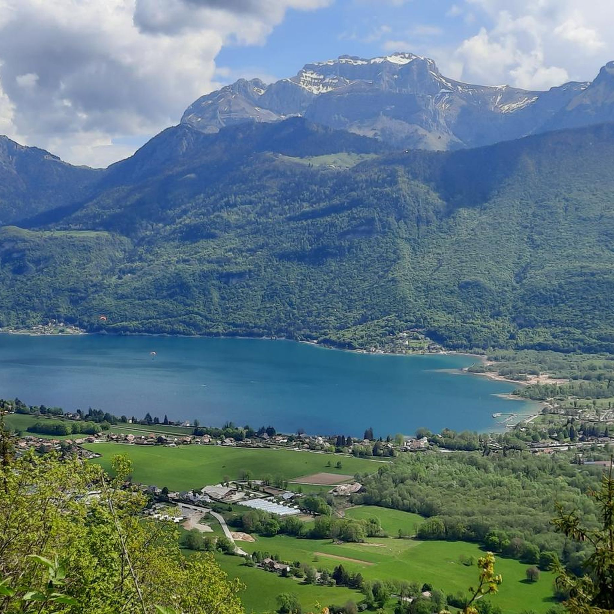
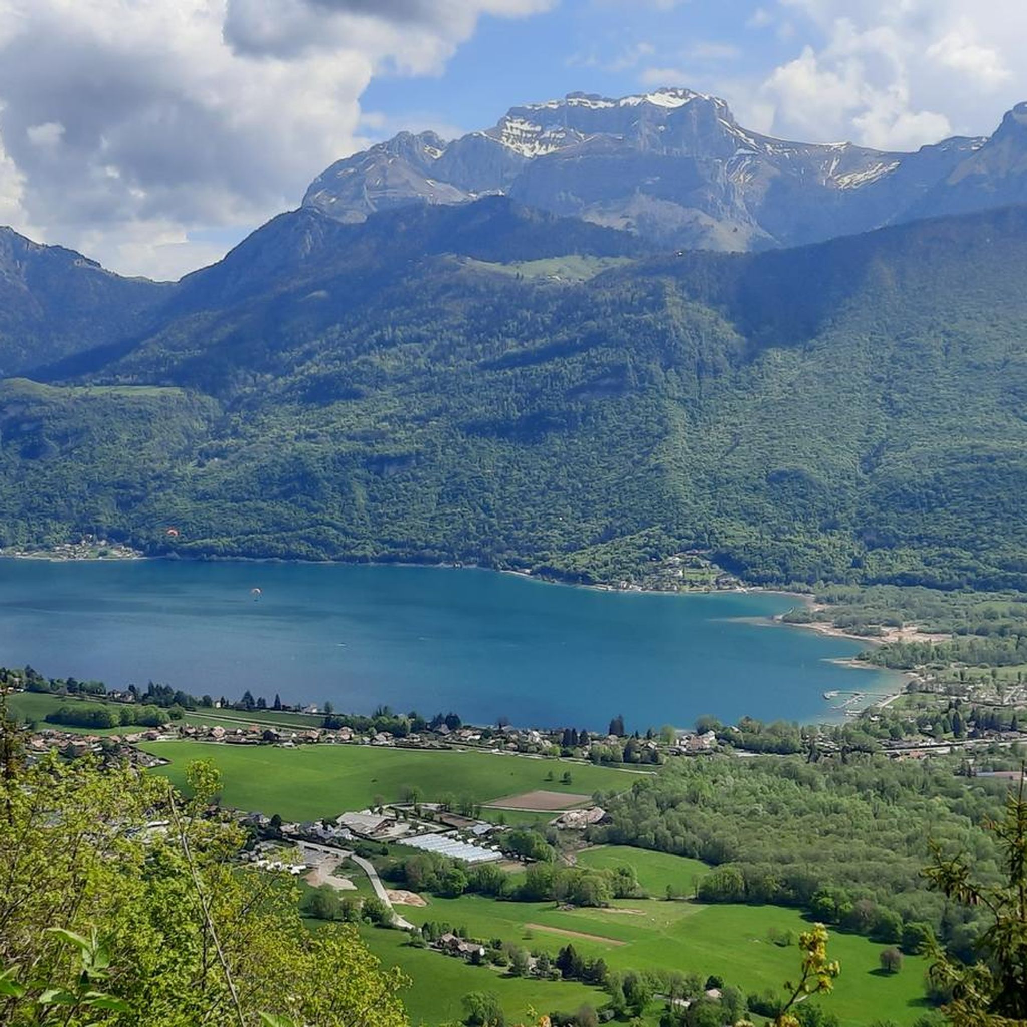
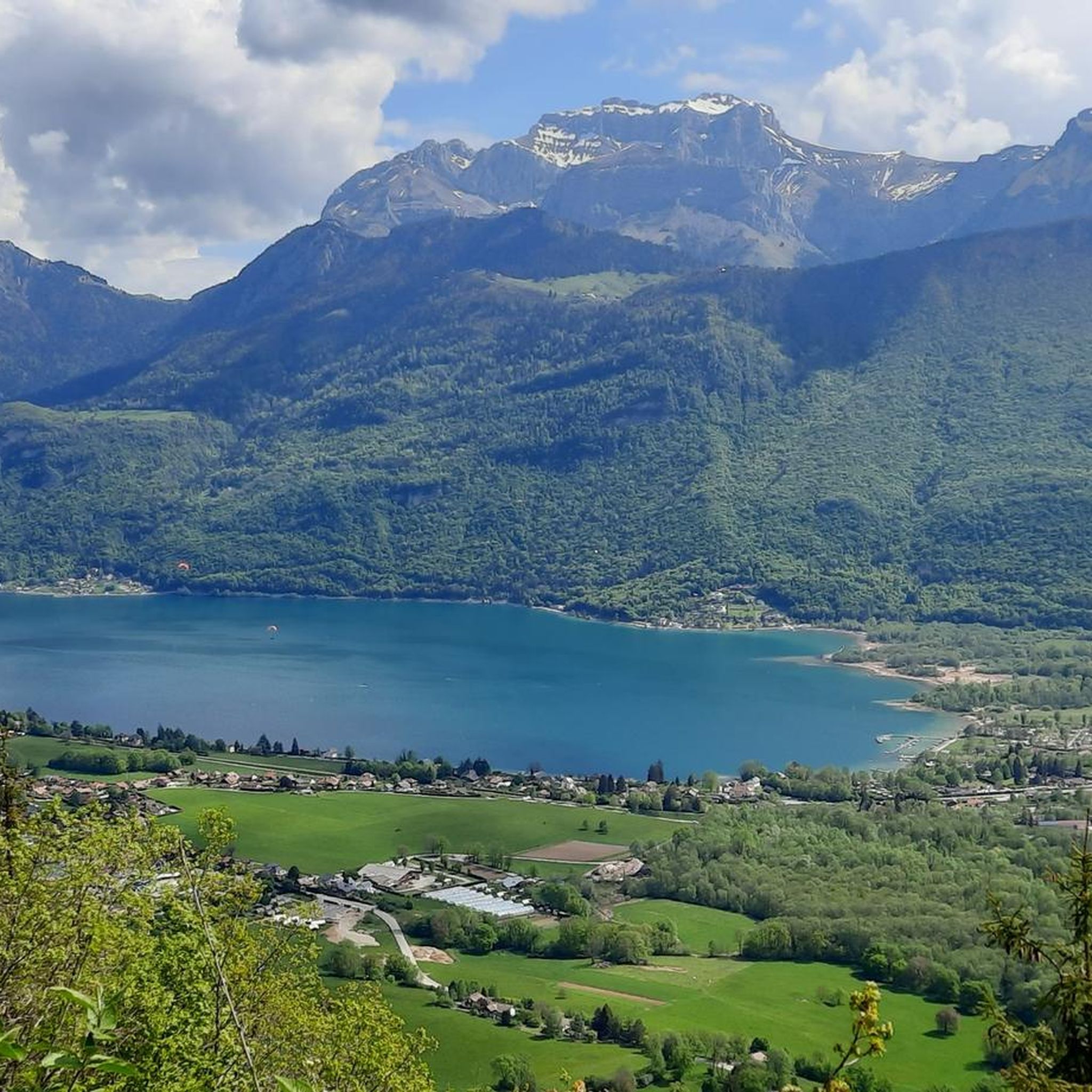
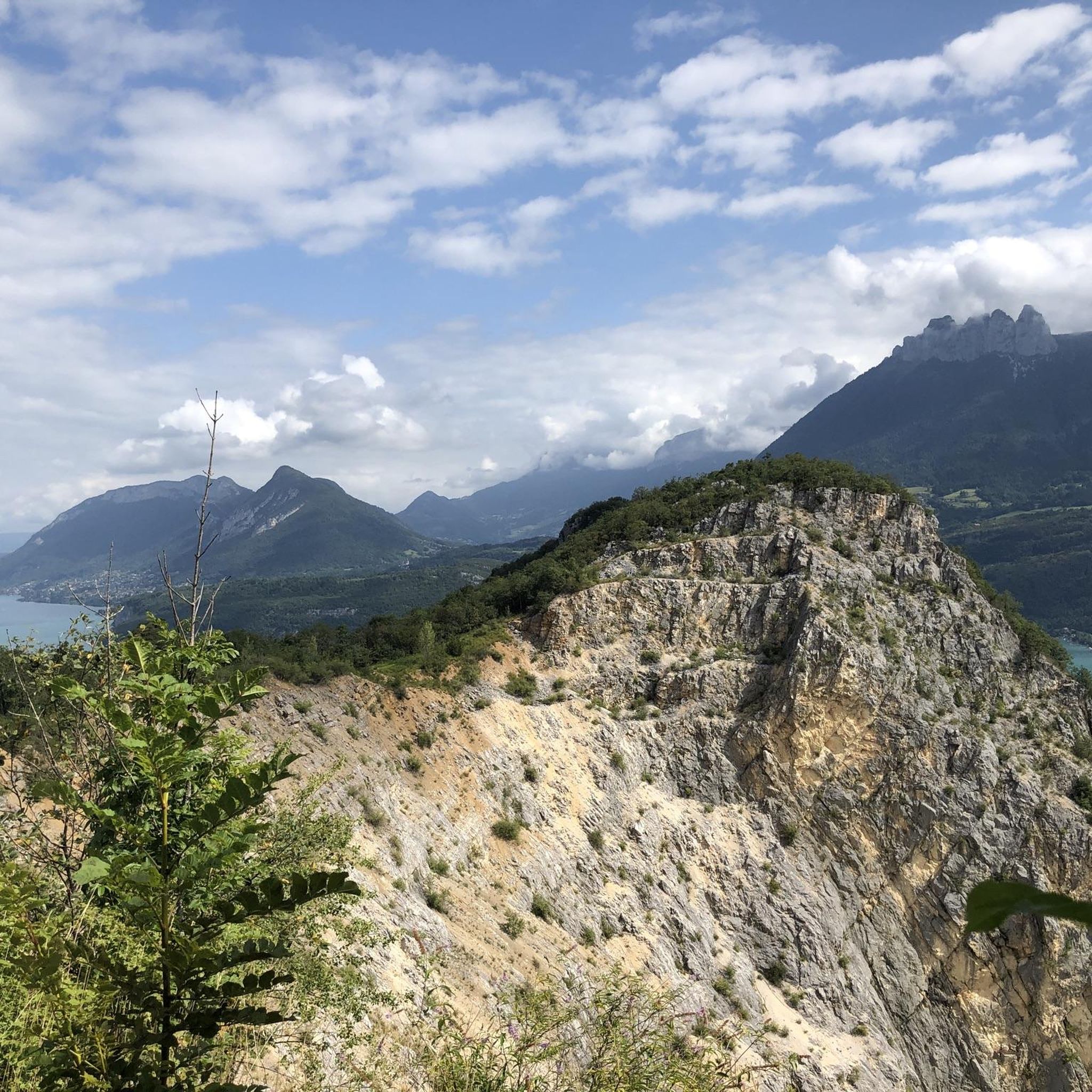
Located at an altitude of 1,150 meters, the Col de la Forclaz offers a superb view overlooking Lake Annecy and the surrounding peaks. An incredible spot!
1
0
Plan on having a good cardio to brave the 10 km climb
0
0

A pleasant walk to a nearby waterfall. Just be careful where you step. It's also accessible with small children.
0
0
Great hike. Summer, late morning. A bit chilly at times. 2 or 3 difficult sections. Good physical condition required.
0
0

The many lichens, ferns and mosses on the trees fit very well into a fairy forest.
0
0
Unfortunately, the château cannot be visited in detail. It is privately owned.
0
0
Frequently Asked Questions
How many mountaineering routes are available around Lathuile?
Lathuile offers a wide array of mountaineering experiences, with over 40 routes documented on komoot. These range from accessible paths to challenging high-altitude traverses, catering to various skill levels.
What are the difficulty levels of mountaineering routes in Lathuile?
The routes around Lathuile offer a diverse range of difficulties. You'll find 1 easy route, 14 moderate routes, and 27 difficult routes, ensuring options for beginners and experienced mountaineers alike.
What is the best time of year for mountaineering in Lathuile?
The warmer months, typically from late spring to early autumn, are ideal for mountaineering in Lathuile. During this period, trails are generally clear of snow, and the alpine landscapes are at their most vibrant. However, the region also offers extensive opportunities for ski mountaineering and other winter sports during colder seasons.
Are there any notable natural features or landmarks to see while mountaineering in Lathuile?
Absolutely! Lathuile is rich in natural beauty. You can explore the spectacular Rutor Falls, originating from the Rutor Glacier, or discover numerous alpine lakes like Lake Arpy and Lac Verney. The region is also close to the majestic Mont Blanc and the Rutor Massif. For specific viewpoints, consider routes that offer views of Lake Annecy from Croix du Chef-Lieu or the Montagne d'Entrevernes.
Can I see waterfalls on mountaineering routes in Lathuile?
Yes, the region is known for its impressive waterfalls. The spectacular Rutor Falls are a major highlight, with accessible trails leading to three impetuous waterfalls. You can also experience the impressive Angon Waterfall on routes like the Beautiful mountain views – Angon Waterfall loop from Duingt.
Are there family-friendly mountaineering options in Lathuile?
While many routes are challenging, Lathuile does offer some more accessible paths suitable for families. Look for routes designated as 'easy' or 'moderate' to find options that might be more suitable for a family outing, keeping in mind that 'easy' mountaineering still implies mountain terrain.
Are there circular mountaineering routes available?
Yes, there are several circular routes that allow you to start and end at the same point. A popular option is the Col de la Forclaz loop from Doussard, offering expansive alpine views. Another circular route is the Views of Lake Annecy – Scenic view of Lake Annecy loop from Duingt.
What kind of terrain can I expect on mountaineering routes in Lathuile?
Mountaineering in Lathuile involves diverse alpine terrain. You can expect everything from ancient mountain paths and forested sections to rugged trails, rocky ridges, and even glacier crossings on more advanced routes. The landscape is characterized by imposing peaks, high-altitude lakes, and dramatic waterfalls.
Are there opportunities for advanced mountaineers seeking a challenge?
Absolutely. Lathuile is renowned for its challenging routes, with 27 difficult tours available. Experienced mountaineers can tackle high-altitude traverses, such as the challenging alpine traverse from Rifugio A. Deffeyes to Flambeau and Doravidi, which requires solid mountaineering skills for rocky ridges and glacier crossings. Expert mountain guides are also available for more technical ascents.
What kind of wildlife might I encounter while mountaineering in Lathuile?
The Aosta Valley, particularly areas near the Gran Paradiso Nature Park, is known for its rich biodiversity. Keep an eye out for the iconic ibex, which thrives in these mountains. You might also spot chamois, marmots, and various bird species adapted to the alpine environment.
Are there any historical sites or cultural points of interest along the mountaineering routes?
Lathuile is an 'Open-Air Museum' with a rich history. You can find ancient trade routes, Roman ruins, old mines, and one of Italy's oldest Celtic cromlechs. The Little St. Bernard Pass is another historical route that combines natural beauty with significant historical context, offering a cultural dimension to your outdoor exploration.
What do other mountaineers enjoy the most about mountaineering in Lathuile?
The area is highly rated by the komoot community, with an average score of 4.6 stars from over 60 reviews. Reviewers often praise the breathtaking alpine landscapes, the diversity of routes for all skill levels, and the stunning natural features like the Rutor Falls and numerous high-altitude lakes.
Most popular routes around Lathuile
Most popular attractions around Lathuile

Get inspired with the komoot mobile app


Explore more
Browse the best Mountain Hikes & Routes in other regions.
