The 11 Most Amazing Peaks around Les Adrets
Best mountain peaks around Les Adrets are found in the Isère department, a region situated on the Belledonne mountain range. This area is known for its alpine character, offering a variety of mountain experiences. The peaks provide extensive views of the Grésivaudan valley and surrounding massifs like Chartreuse and Vercors. Visitors can explore diverse landscapes, from high summits to forest trails and mountain pastures.
Best mountain peaks around Les Adrets
- The most popular mountain peaks is Dent de Crolles,…
Last updated: August 16, 2026
Dent de Crolles
Highlight • Summit
Translated by Google •
Tip by

Aulp du Seuil Pass
Highlight • Mountain Pass
Translated by Google •
Tip by

Sign up now to discover places like this
Get recommendations on the best single tracks, peaks, & plenty of other exciting outdoor places.
Sign up for free
The Grand Rock
Highlight • Summit
Translated by Google •
Tip by

Crêt du Poulet
Highlight • Summit
Translated by Google •
Tip by
Pravouta
Highlight • Summit
Translated by Google •
Tip by
Sign up for free to discover even more peaks around Les Adrets.
Sign up for free
Already have an account?
Start today with a free account
Your next adventure awaits.
Login or Signup
Popular around Les Adrets
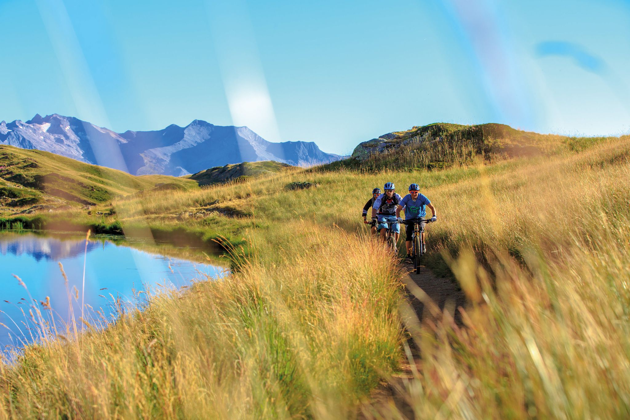
Great e-bike routes in Isère, France
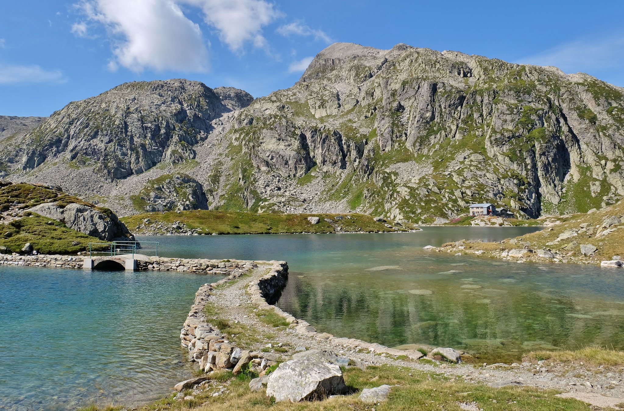
Grenoble’s Belledonne mountain range – hike the 7 Laux Lakes Tour
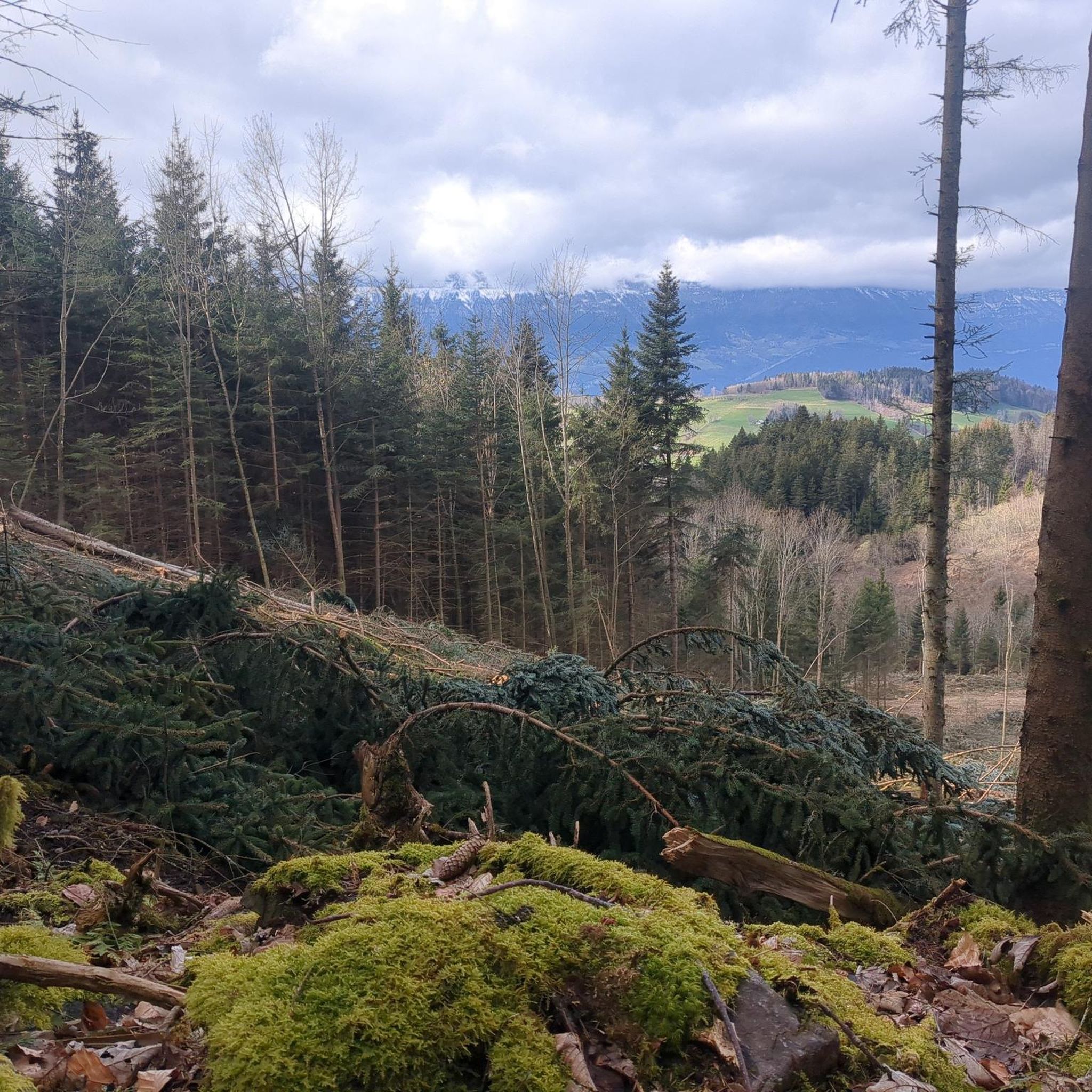
Hiking around Les Adrets
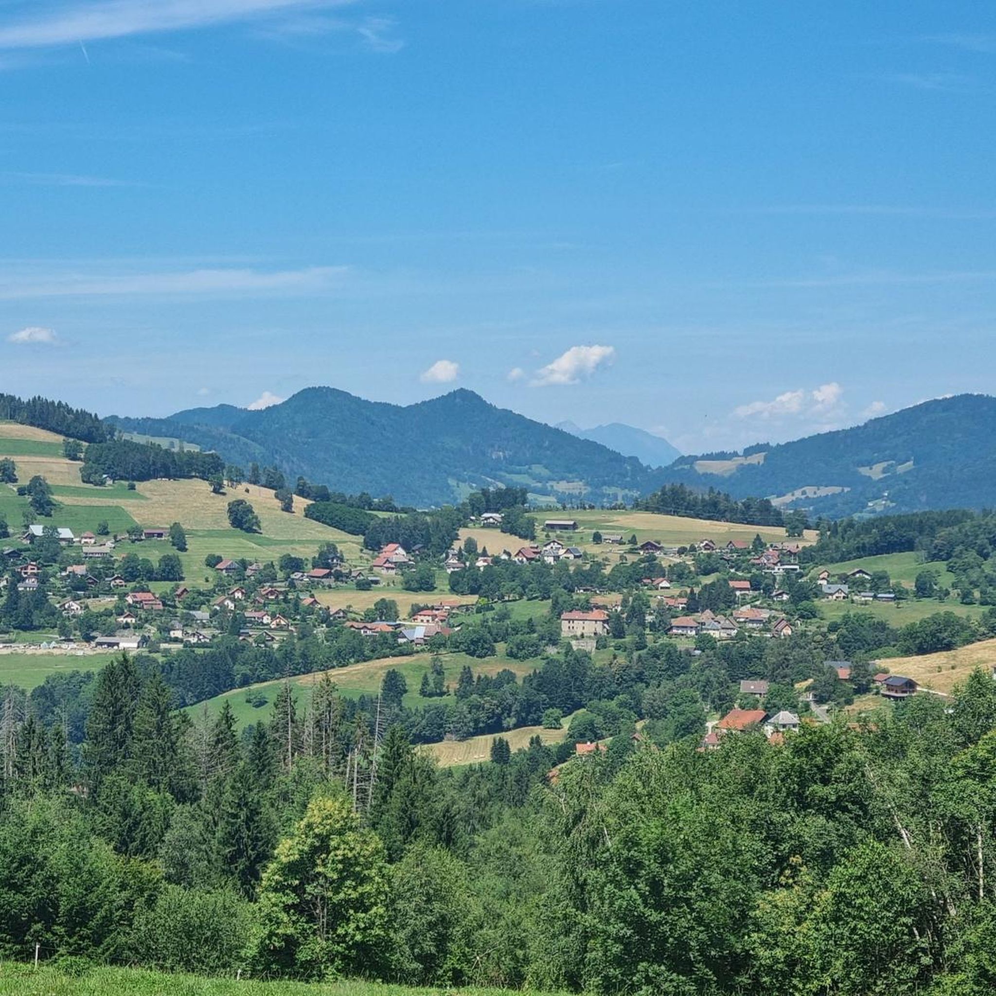
Road Cycling Routes around Les Adrets
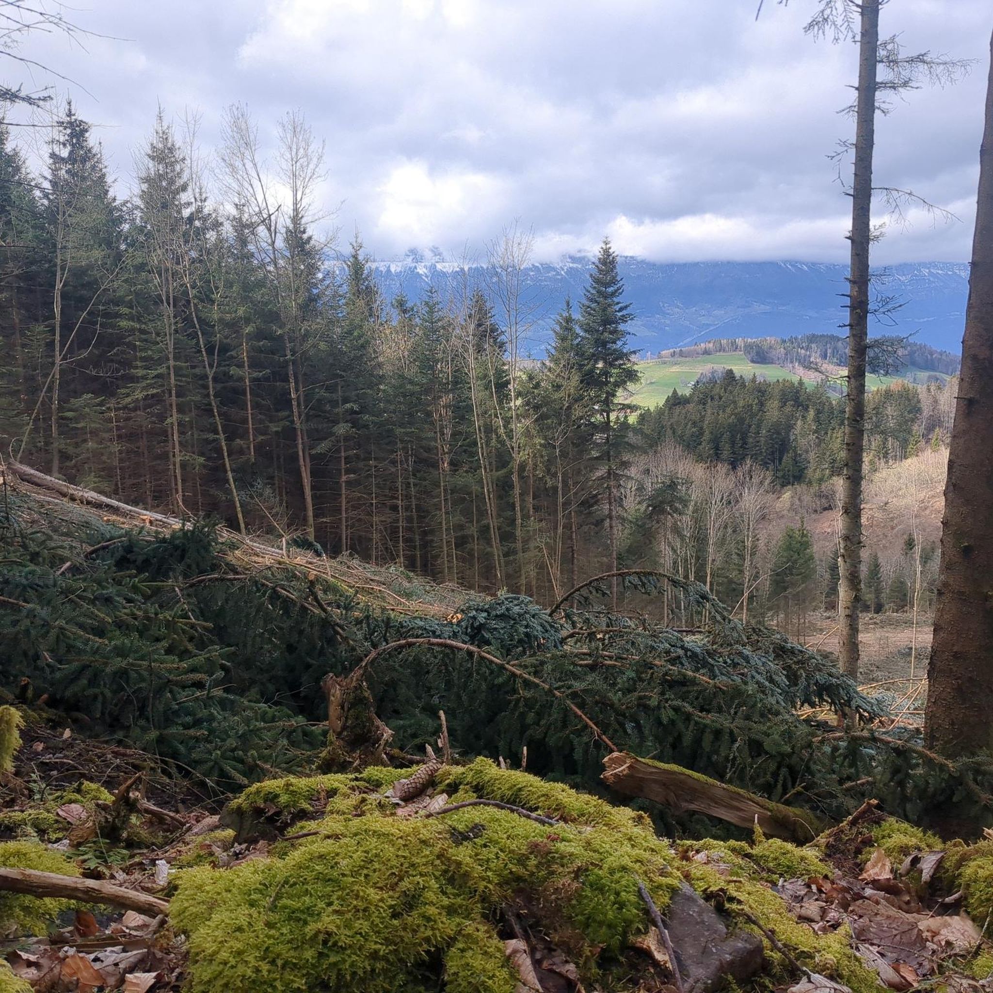
Running Trails around Les Adrets
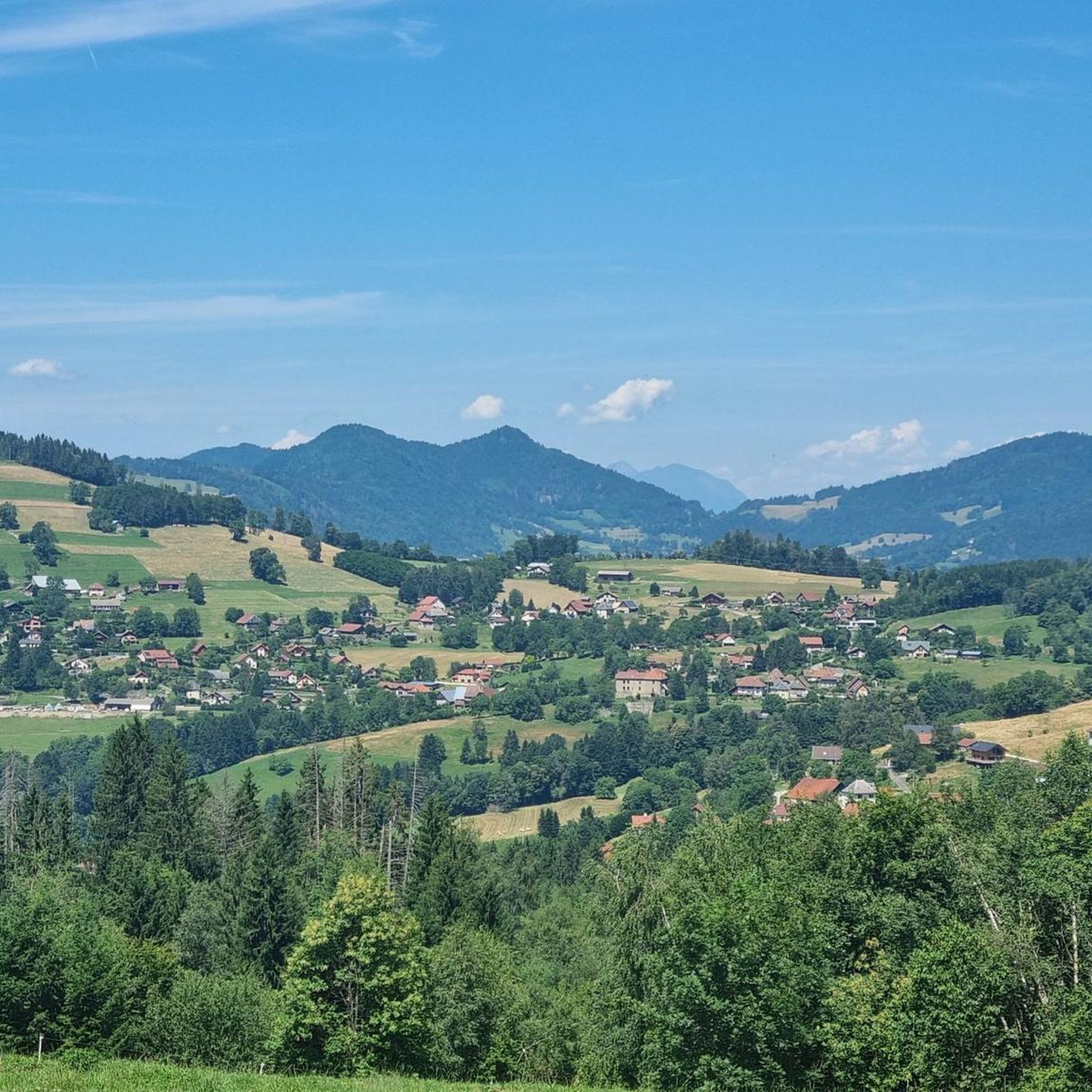
MTB Trails around Les Adrets

Mountain Hikes around Les Adrets
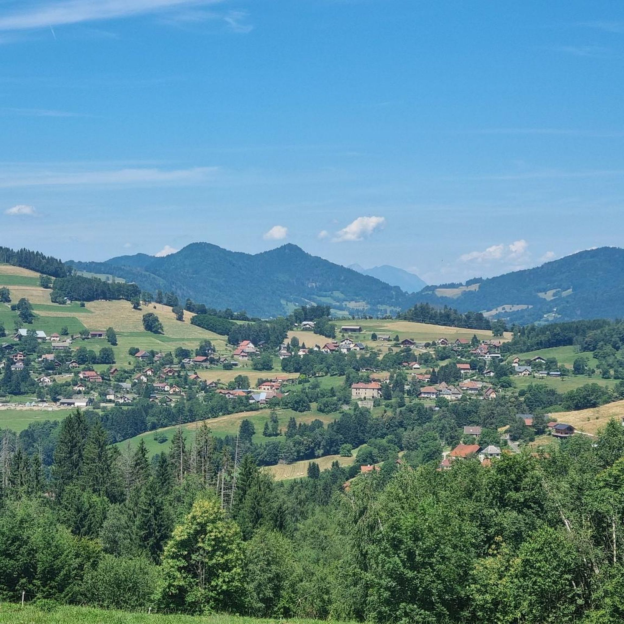
Cycling around Les Adrets
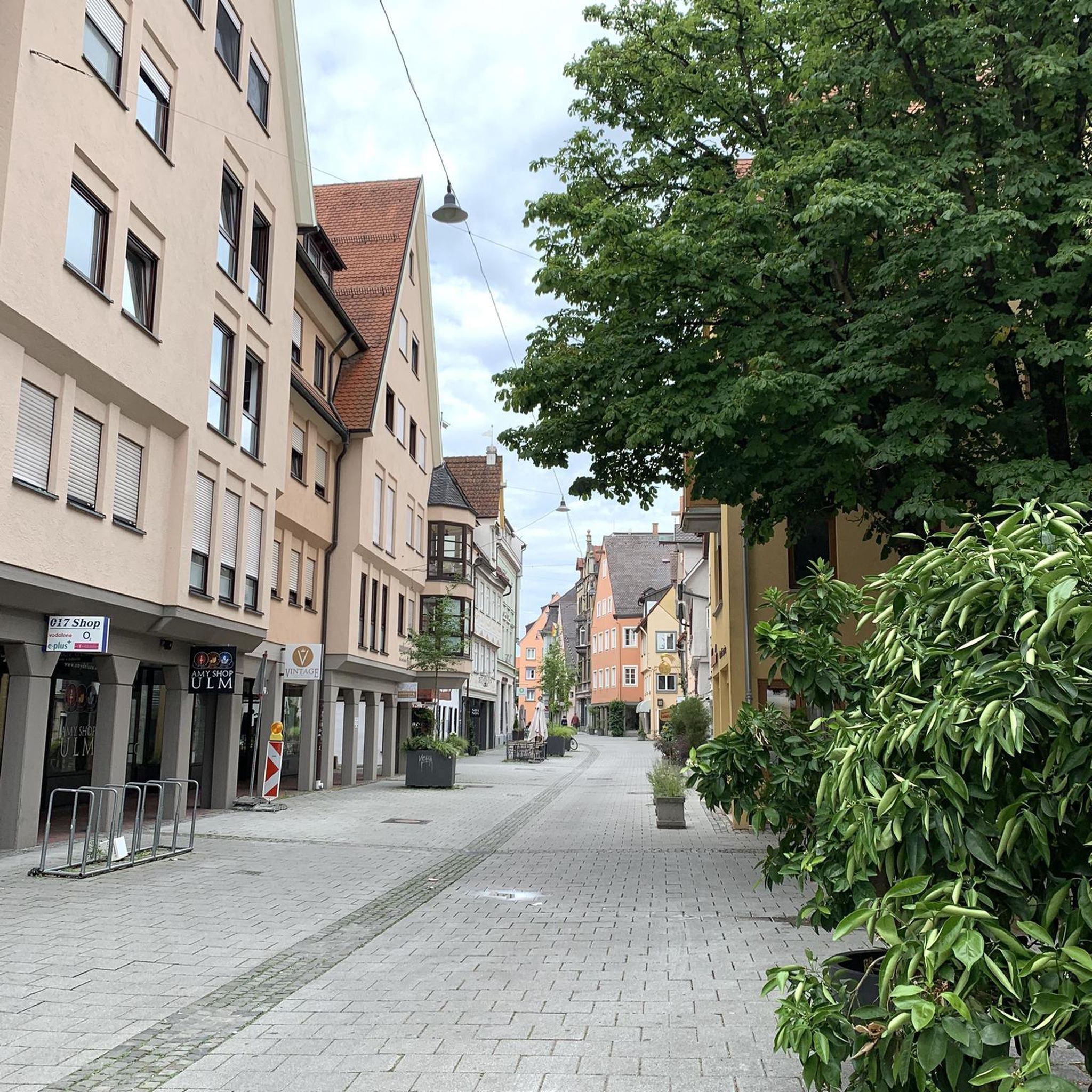
Gravel biking around Les Adrets


Tips from the Community

A panoramic view of the valley with a viewpoint indicator
0
0

The cross of the Aulp du seuil is located at 1825m above the cirque and marks the entrance to the high plateaus.
0
0

A stunning summit with views of Mont Blanc. The two climbs from the Col des Ayes are relatively steep, but steel cables are installed at the more dangerous sections. The climb north via the Trou du Glaz is a bit longer and a bit easier. The climb east is a bit steeper and more exposed. The view is good, though.
1
0

Great hike! Make sure you have good shoes with crampons because some slopes are a bit slippery. Magnificent view at the top.
0
0

on private property, with no-entry signs, especially at hunting time
0
0
Magnificent viewpoints. Diverse landscapes
1
0

Perched at an altitude of 1,830 meters, the Aulp du Seuil passage offers sensational views. Crossing it offers a unique experience that does not include any difficulty.
1
0
Culminating at 2,062 meters above sea level, the Dent de Crolles is the second peak of Chartreuse. Accessible, it offers a vast panorama of the south of Chartreuse, the Belledonne massif and the Grésivaudan valley.
2
0
Frequently Asked Questions
What are some of the most popular mountain peaks to explore around Les Adrets?
Visitors frequently enjoy the challenging ascent to Dent de Crolles, known for its extensive views of the Grésivaudan valley. Another favorite is The Grand Rock, offering a spectacular panorama of the Chartreuse, Vercors, Bauges, and Belledonne chains. Pravouta is also highly rated for its breathtaking 360-degree views.
Are there any mountain peaks around Les Adrets suitable for beginners or those looking for easier hikes?
While many peaks in the Belledonne range offer intermediate to challenging ascents, some trails leading to viewpoints like Crêt du Poulet can be more accessible. This area features multi-use trails through forests and mountain pastures, providing beautiful views without extreme difficulty. The tips for Croix de Belledonne Summit also mention it being accessible and not requiring strong hiking experience for its altitude.
What kind of views can I expect from the mountain peaks in the Les Adrets region?
The mountain peaks around Les Adrets offer truly spectacular panoramic views. From summits like The Grand Rock, you can see multiple mountain ranges including Chartreuse, Vercors, Bauges, and Belledonne. Dent de Crolles provides expansive views over the entire Grésivaudan valley, while Pravouta is celebrated for its unobstructed 360-degree vistas.
What outdoor activities can I do near the mountain peaks around Les Adrets?
Beyond peak bagging, the region offers diverse outdoor activities. You can find numerous hiking opportunities, including moderate to difficult routes like the 'Lacs du Vénétier – Cime de la Jasse loop'. For more options, explore the Hiking around Les Adrets guide or the Mountain Hikes around Les Adrets guide. Gravel biking is also popular, with routes such as the 'Flat gravel path – green track du billard loop' available in the Gravel biking around Les Adrets guide.
Are there any specific natural features or wildlife to look out for on these mountain peaks?
Yes, the region is rich in natural beauty. Pravouta is located within the sensitive natural space of the Hauts de Chartreuse, which is home to the black grouse. On the Croix de Belledonne Summit, visitors have reported spotting ibexes. The trails often traverse forests and mountain pastures, offering diverse environments.
What is the best time of year to hike the mountain peaks around Les Adrets?
The region, situated on the Belledonne mountain range, has an alpine character. While specific best times aren't detailed, the presence of winter hiking conditions suggests that late spring to early autumn generally offers the most favorable weather for hiking. Always check local conditions before heading out, especially for higher, more technical peaks like Dent de Crolles.
What makes Dent de Crolles a notable mountain peak?
Dent de Crolles is the second-highest summit of the Chartreuse massif, reaching 2,062 meters. Its ascent is considered technical, offering a rewarding challenge. From its summit, you can enjoy a magnificent 360-degree view over the entire Grésivaudan valley, extending to the Bauges massif and the Vercors walls.
What can I expect when visiting The Grand Rock?
The Grand Rock is a summit in the Belledonne range, culminating at 1,926 meters. It's renowned for its truly incredible panorama, encompassing the Chartreuse, Vercors, Bauges, and Belledonne chains. It's described as a gentle, green mountain with excellent views of neighboring rocky peaks like the Bec d'Arguille, and its trails are multi-use.
Are there any mountain peaks around Les Adrets that are particularly good for photography?
Many peaks offer stunning photographic opportunities due to their expansive views. Pravouta is highlighted for its breathtaking 360-degree views, making it ideal for capturing wide landscapes. Similarly, the panoramic vistas from The Grand Rock and Dent de Crolles are highly praised by visitors for their beauty.
What do visitors appreciate most about the mountain peaks around Les Adrets?
Visitors consistently praise the incredible panoramic views offered by the peaks, with many highlighting the 360-degree vistas from spots like Pravouta and The Grand Rock. The challenging yet rewarding ascents, the diverse landscapes from alpine summits to forest trails, and the chance to spot wildlife like ibexes also contribute to a highly valued experience.
Are there any specific trails or routes that lead to the Cime de la Jasse?
Yes, a popular route is the 'Lacs du Vénétier – Cime de la Jasse loop from Parking de l'Olagneraie', which is a difficult mountain hike covering approximately 17.2 kilometers. This loop ascends through the Vénétier valley and its lakes, offering beautiful viewpoints due to its advanced position between Belledonne and Sept-Laux. You can find more details in the Mountain Hikes around Les Adrets guide.
Most popular routes around Les Adrets
Most popular attractions around Les Adrets

Get inspired with the komoot mobile app


Explore more
See even more amazing summits around Les Adrets with these guides:
