The best walks and hikes around Vulbens
4.4
(636)
4,443
hikers
281
hikes
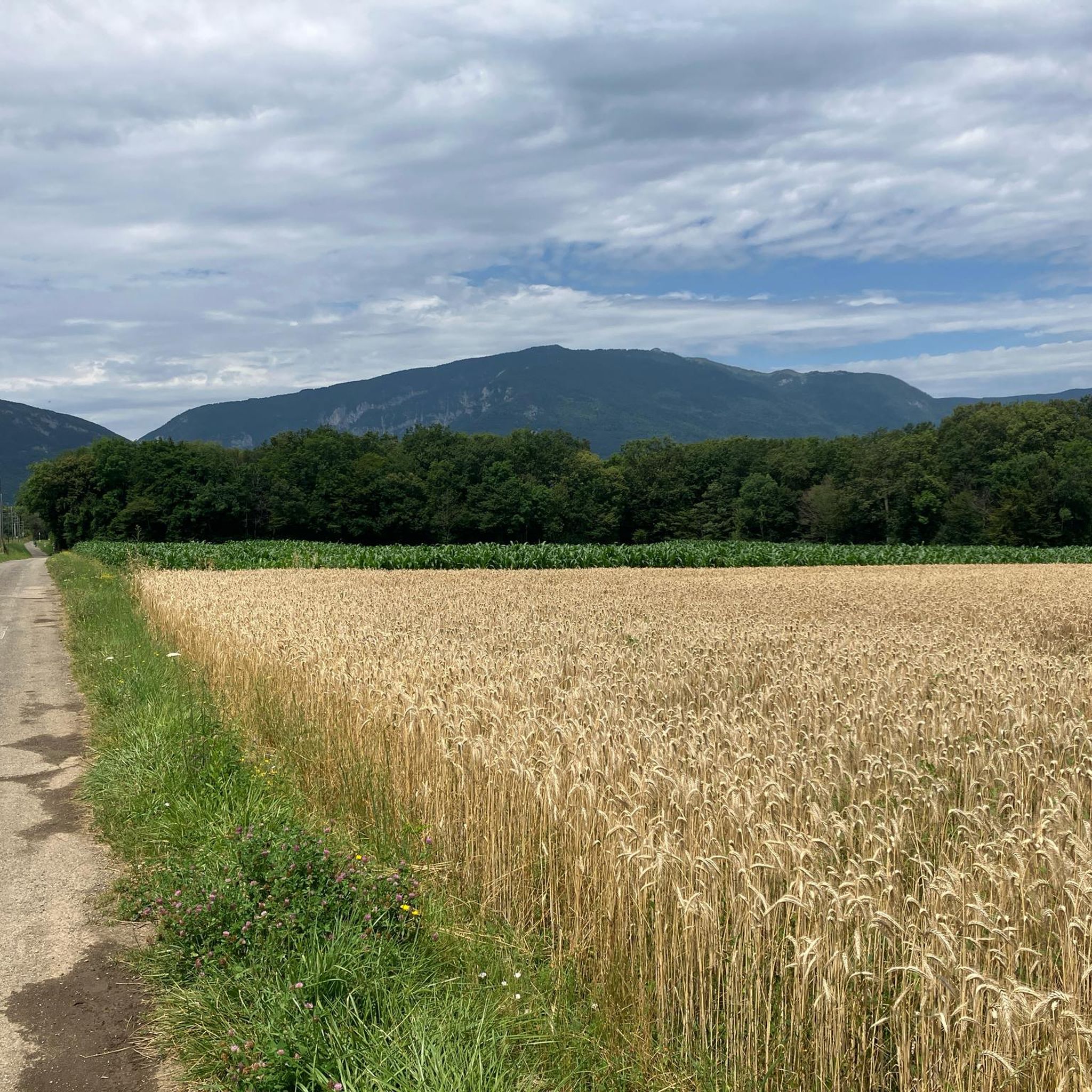
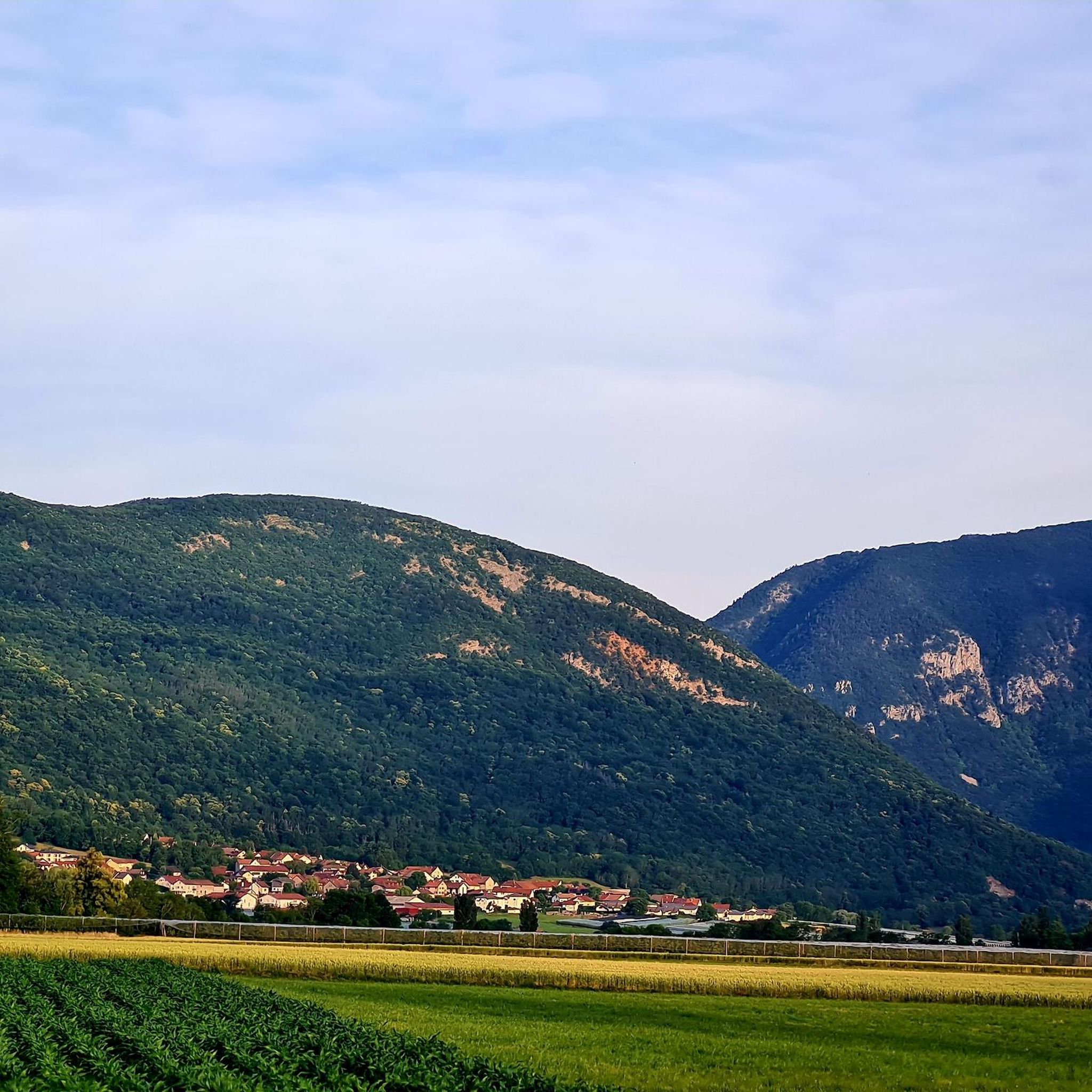
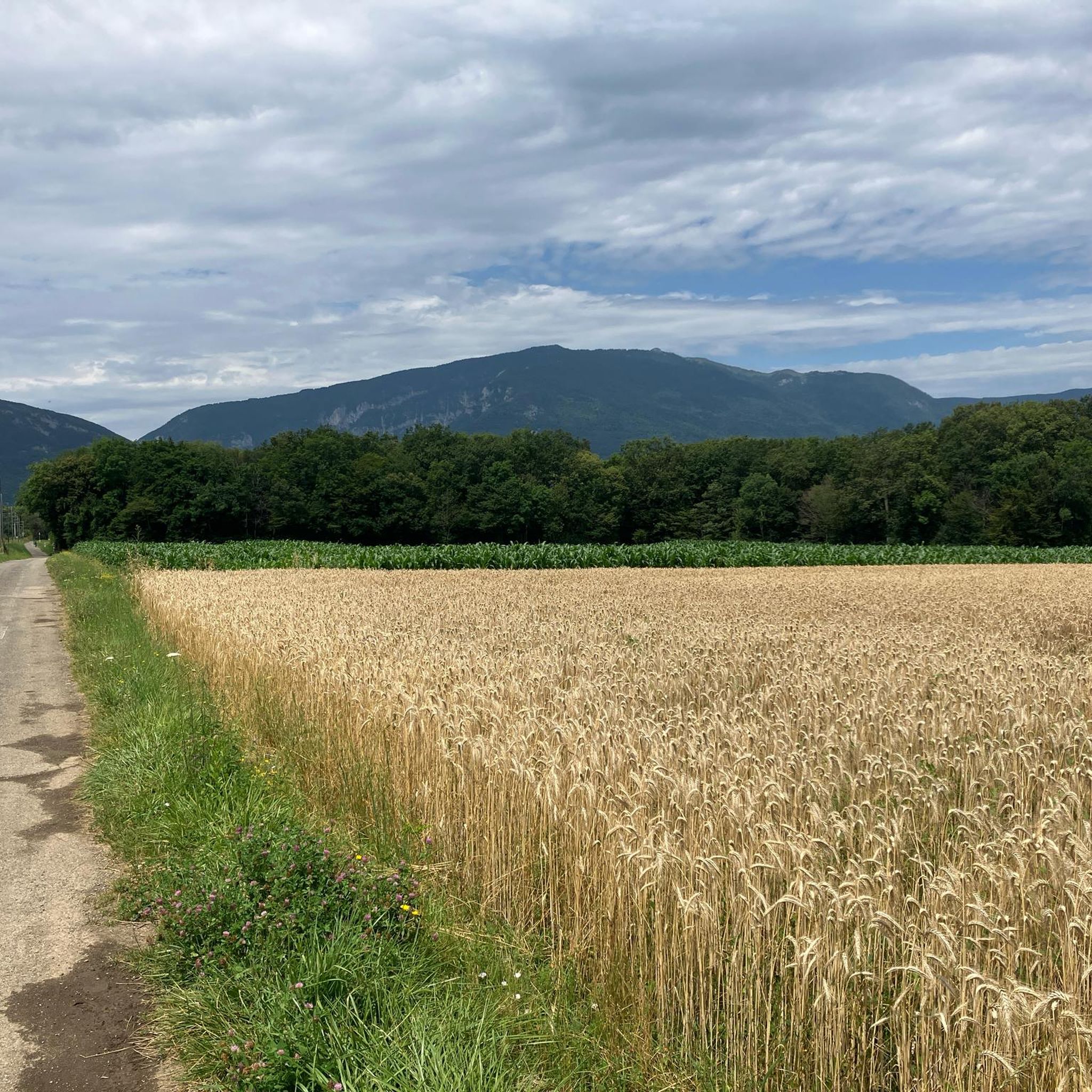
Hiking around Vulbens offers diverse landscapes, from the prominent Mont Vuache mountain range with its forests and rock faces, to the banks of the Rhône River. The region features a mix of fields, woods, and vineyards, providing varied scenery for outdoor activities. Trails traverse the Geneva plain, framed by the Vuache and Salève massifs, and offer views towards the high chain of the Jura mountains.
Best hiking trails around Vulbens
- The most popular hiking route is Mont Vuache – Le…
Last updated: July 11, 2026
4.7
(3)
16
hikers
9.67km
03:25
400m
410m
Moderate hike. Good fitness required. Mostly accessible paths. Sure-footedness required.
5.0
(1)
11
hikers
11.2km
03:15
280m
280m
Moderate hike. Good fitness required. Easily-accessible paths. Suitable for all skill levels.

Sign up for free
5.0
(3)
17
hikers
7.68km
02:13
180m
180m
Moderate hike. Good fitness required. Easily-accessible paths. Suitable for all skill levels.
14
hikers
3.03km
00:49
40m
40m
Easy hike. Great for any fitness level. Easily-accessible paths. Suitable for all skill levels.
5.0
(1)
14
hikers
10.9km
03:08
260m
260m
Moderate hike. Good fitness required. Easily-accessible paths. Suitable for all skill levels.
Get access to more routes and recommendations from other explorers.
Sign up for free
Already have an account?
Our route recommendations are based on thousands of hikes, rides, and runs completed by other people on komoot.
Start today with a free account
Your next adventure awaits.
Login or Signup
Popular around Vulbens
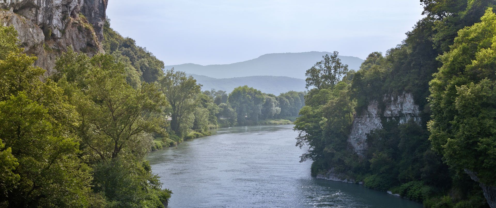
Rhone Cycle Route — From the southern Jura to Lyon
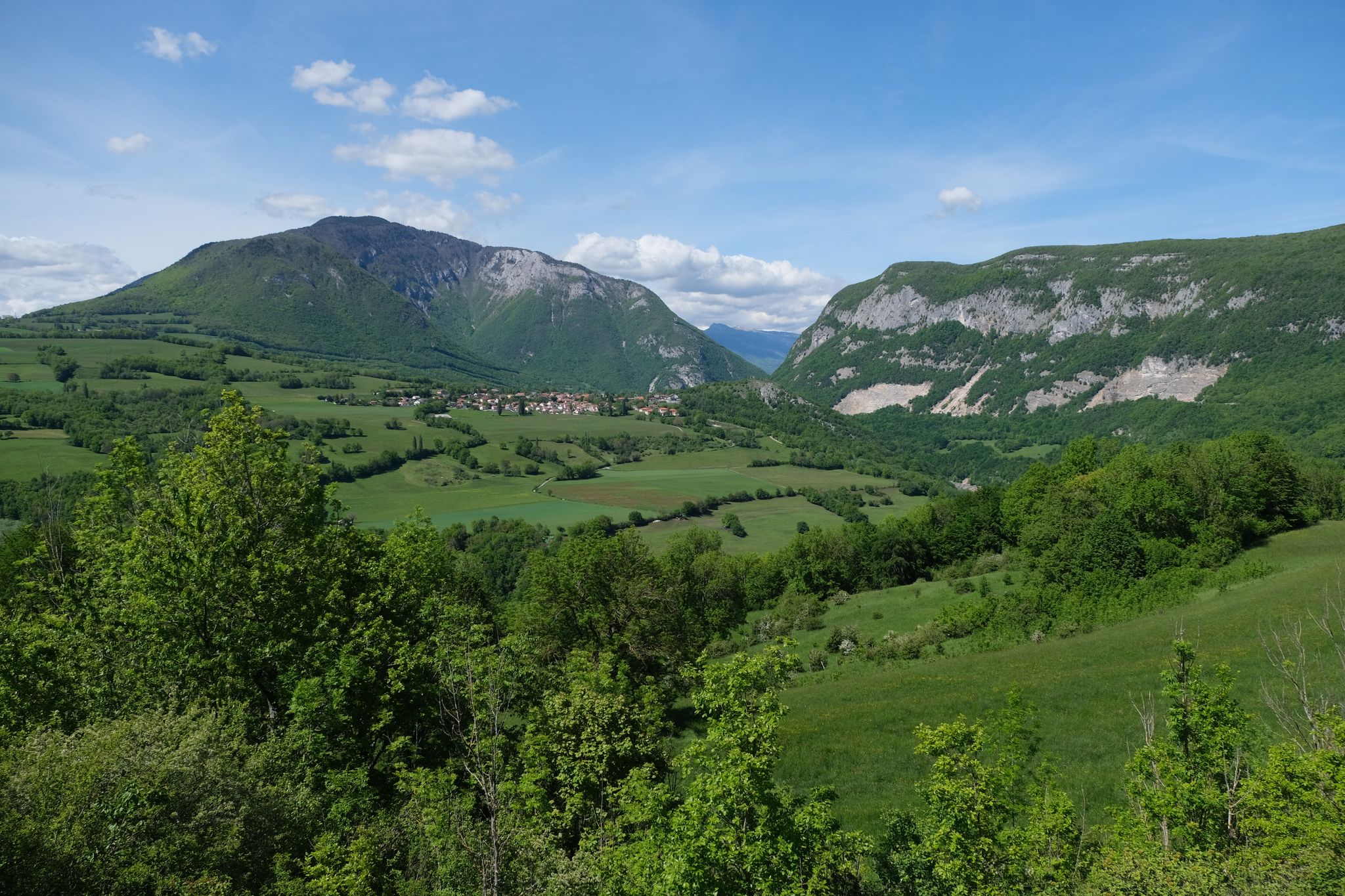
Exploring magnificent hills and cliffs — France’s Vuache route
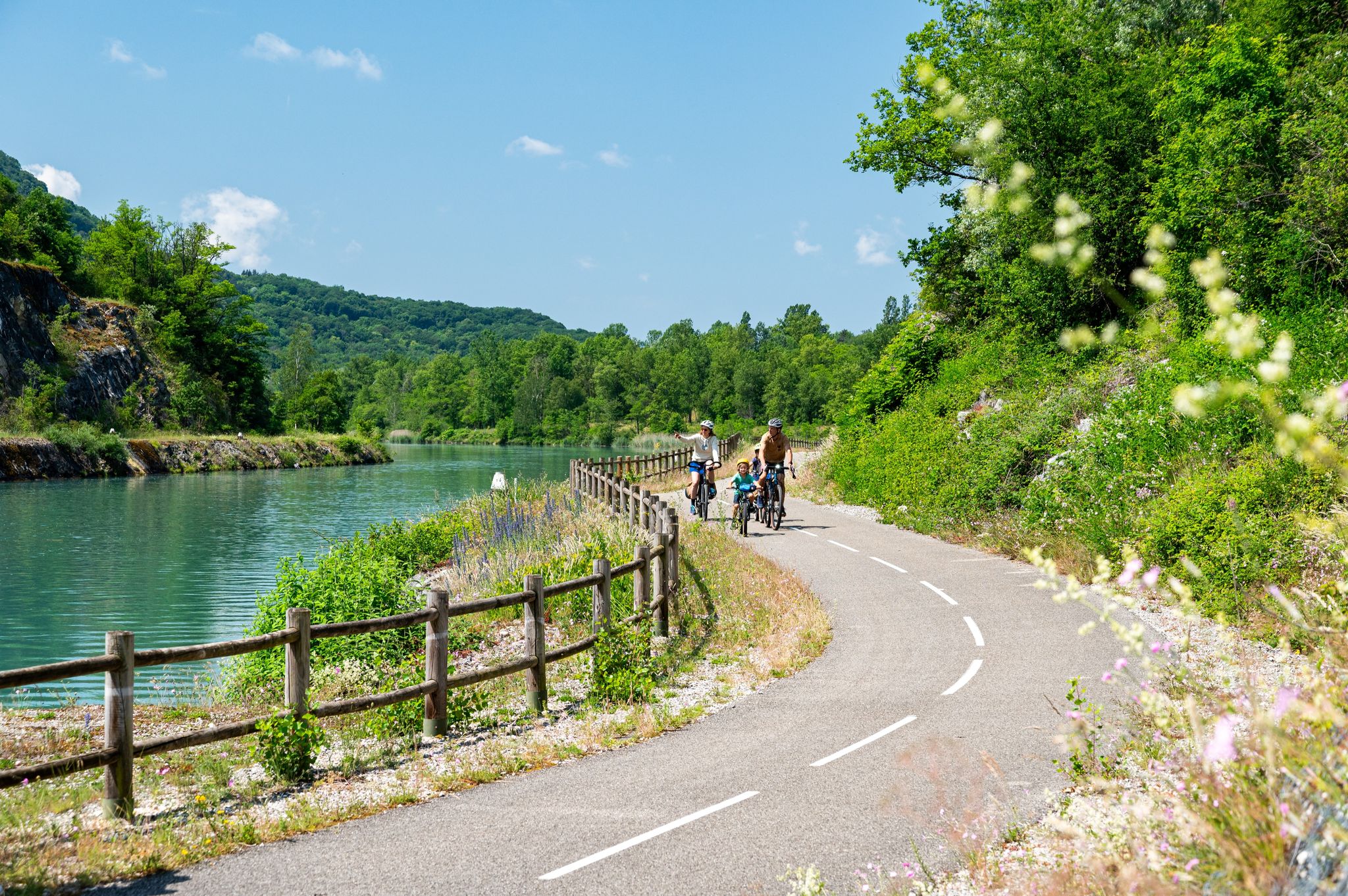
ViaRhôna — ride from the Alps to the Mediterranean
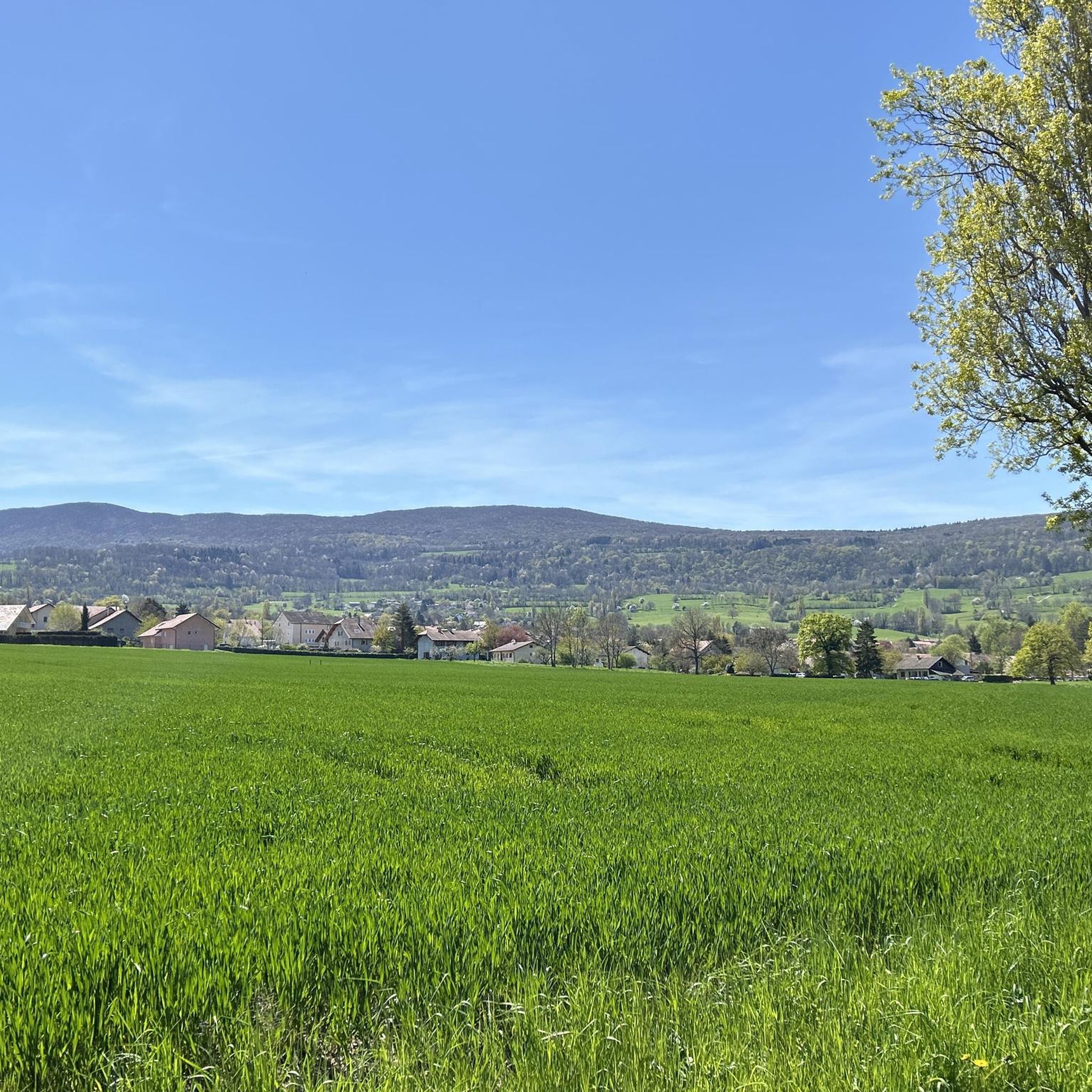
Cycling around Vulbens
MTB Trails around Vulbens
Running Trails around Vulbens
Road Cycling Routes around Vulbens

Gravel biking around Vulbens


Tips from the Community

Beautiful walk with multiple trails in the woods
0
0

The road runs along the vineyards towards the forest with small waterfalls. There is also an information board on the side. He will give you all the information on the Longet Valley and the possible trails.
0
0
It is a bridge over the Rhône for vehicles and pedestrians. This bridge connects Switzerland and France. There is a station measuring river water quality at the base of the bridge.
0
0

Bridge marking the border between Switzerland and France. It is the last brigde on the river Rhône in Switzerland
2
0
Frequently Asked Questions
How many hiking trails are available around Vulbens?
There are over 280 hiking routes in the Vulbens region, offering a wide variety of options for different skill levels and preferences. This includes 85 easy routes, 168 moderate routes, and 27 difficult trails.
What do other hikers say about the trails in Vulbens?
The hiking routes around Vulbens are highly regarded by the komoot community, with an average rating of 4.5 stars from over 570 reviews. Hikers often praise the diverse landscapes, from the prominent Mont Vuache to the tranquil Rhône riverbanks, and the varied terrain that includes forests, vineyards, and open plains.
Are there hiking options suitable for families with children?
Yes, Vulbens offers several easy routes perfect for families. The Marais de l'Etournel loop from Pougny is an excellent choice, being a relatively short 3.0 km (1.9 miles) and leading through a natural marshland area, making it an accessible and engaging walk for all ages.
Can I find trails that feature waterfalls or streams?
Yes, the region has trails that incorporate water features. The "Forest Path Along the Stream" mentioned in regional research, and the The Titans-sur-Rhône Viaduct – Forest Path Along the Stream loop from Collonges, offer refreshing walks through shady forests accompanied by the sounds of streams. The Vallon du Longet Nature Reserve also features small waterfalls.
Are there any historical landmarks or interesting sights along the trails?
Absolutely. Many trails offer glimpses of historical and natural points of interest. For example, the Pougny–Chancy Bridge loop from Pougny provides views of the significant Pougny–Chancy Bridge, which marks the border between Switzerland and France. Other notable sights in the area include the ruins of Chaumont Castle and the historical Pont Carnot. You can also find the Border Marker No. 1 – Westernmost Point of Switzerland.
What kind of landscapes can I expect to see while hiking near Vulbens?
Hiking around Vulbens offers diverse landscapes. You'll encounter the prominent Mont Vuache mountain range with its forests and rock faces, the banks of the Rhône River, and a mix of fields, woods, and vineyards. Trails also traverse the Geneva plain, framed by the Vuache and Salève massifs, and provide views towards the high chain of the Jura mountains.
Are there any nature reserves or protected areas to explore?
Yes, the region is home to several natural areas. The Marais de l'Etournel loop from Pougny takes you through a natural marshland. Additionally, you can explore the Vallon du Longet Nature Reserve, known for its vineyards, forests, and waterfalls, and the Teppes de Verbois Nature Reserve.
What is the best time of year to go hiking in Vulbens?
The Vulbens region is enjoyable for hiking across multiple seasons. Spring and autumn offer pleasant temperatures and vibrant scenery, with blooming flowers or colorful foliage. Summer is also popular, though some trails might be warmer, making forest paths along streams particularly appealing. Winter hiking is possible, especially on lower elevation trails, but higher areas like Mont Vuache may require appropriate gear for snow or ice.
Are there any challenging hikes for experienced walkers?
Yes, for those seeking a more demanding experience, the region offers 27 difficult routes. The Mont Vuache – Le Vuache loop from Dingy-en-Vuache, while rated moderate, presents a significant elevation gain and offers a good challenge with its 9.7 km (6.0 miles) length and views of the Jura mountains and Geneva plain. The 'Boucle Mont Vuache – Le Vuache' is noted as a moderate to challenging loop for experienced walkers.
Can I find circular hiking routes around Vulbens?
Many of the popular hiking routes around Vulbens are designed as loops, allowing you to start and end at the same point without retracing your steps. Examples include the Mont Vuache – Le Vuache loop from Dingy-en-Vuache, the Pougny–Chancy Bridge loop from Pougny, and the Marais de l'Etournel loop from Pougny.
Is it possible to access hiking trails using public transport?
While specific public transport connections to every trailhead can vary, Vulbens is a stage village on the ViaRhôna, a major cycling route that also offers walking opportunities. For many trails, particularly those starting in larger villages like Pougny or Collonges, local bus services might provide access. It's advisable to check local transport schedules for specific starting points.
Are dogs allowed on the hiking trails in Vulbens?
Generally, dogs are welcome on hiking trails in the Vulbens region. However, it's always recommended to keep dogs on a leash, especially in nature reserves, agricultural areas, or where wildlife might be present. Always carry bags to clean up after your pet and ensure they have enough water, particularly on longer routes.
Most popular attractions around Vulbens

Get inspired with the komoot mobile app


Explore more
Browse the best Hikes in other regions.
