The best running trails around Ottrott
4.6
(98)
4,915
runners
92
runs
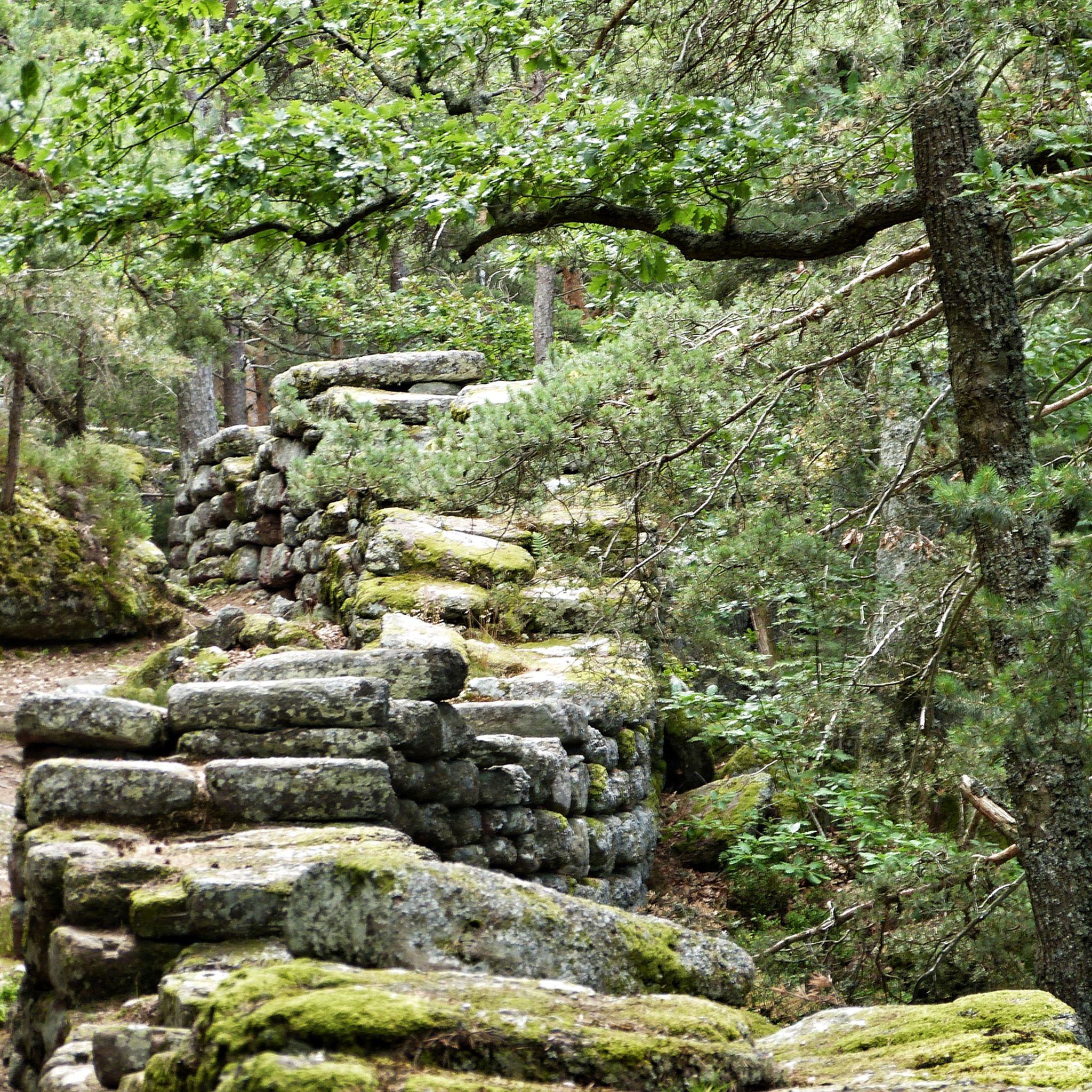
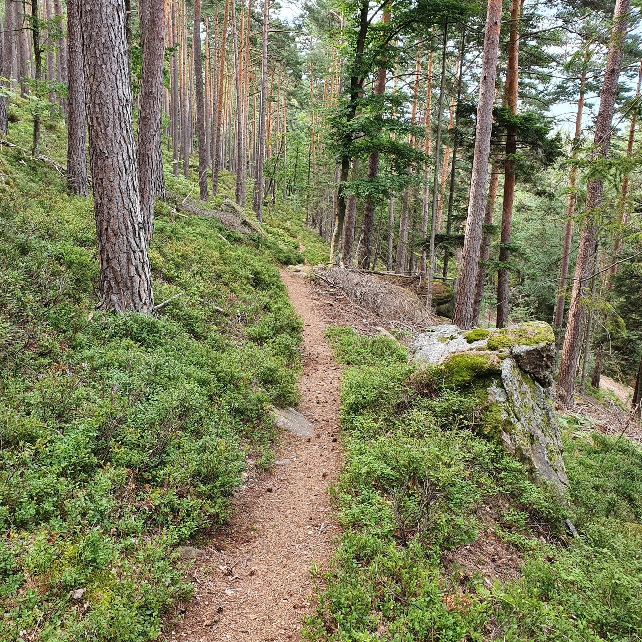
Jogging routes around Ottrott traverse the lush landscapes of the Bas-Rhin department in France, offering diverse terrain for runners. The region is characterized by extensive forested areas within the Vosges foothills, providing both challenging ascents and scenic paths. Runners can explore routes that lead to prominent sites like Mont Sainte-Odile, offering panoramic views, and historical landmarks such as the ruins of 13th-century castles. The varied topography includes both flat sections and inclined paths, catering to different fitness levels.
Best jogging…
Last updated: September 29, 2026
4.9
(14)
963
runners
21.4km
03:01
980m
980m
Hard run. Very good fitness required. Mostly paved surfaces. Suitable for all skill levels.
4.7
(9)
255
runners
17.0km
02:15
610m
610m
Hard run. Very good fitness required. Mostly paved surfaces. Suitable for all skill levels.

4.6
(5)
198
runners
14.0km
01:58
600m
600m
Hard run. Very good fitness required. Mostly paved surfaces. Suitable for all skill levels.
5.0
(2)
170
runners
8.42km
01:15
470m
470m
Hard run. Very good fitness required. Mostly paved surfaces. Suitable for all skill levels.
3.8
(5)
164
runners
15.8km
02:02
630m
630m
Hard run. Very good fitness required. Mostly paved surfaces. Suitable for all skill levels.
Get access to more routes and recommendations from other explorers.
Already have an account?
Our route recommendations are based on thousands of hikes, rides, and runs completed by other people on komoot.
Start today with a free account
Your next adventure awaits.


Other adventures around Ottrott

Tips from the Community

The Odilienberg (763 m) in Alsace is the most important spiritual center of the region. Founded around 690 by Saint Odilia, the monastery attracts hundreds of thousands of pilgrims annually. The centerpiece of the complex is the Basilica of the Assumption of Mary (1687–1692) with the burial chapel, where the relics of the patron saint rest in an 8th-century sandstone sarcophagus. Directly on the panoramic terrace are the Chapel of Tears and the Chapel of Angels (12th century), known for their luminous gold mosaics from 1935. Inside the basilica, there is also a fine wooden inlaid Way of the Cross by Charles Spindler. Below the monastery rocks runs a magnificent hiking trail. It leads past the monumental, colorful ceramic Way of the Cross (14 stations) and the Lourdes Grotto, both integrated directly into the red sandstone by Léon Elchinger in the 1930s. About a 15-minute walk further down, the Odilien spring emerges in the forest, its water traditionally sought for eye ailments. The entire mountain plateau is enclosed by the Heidenmauer, a mysterious, 11-kilometer-long prehistoric defensive wall. Following the hiking trails further south, you reach the Maennelstein (817 m), the highest point of the ridge, which offers a wide panoramic view over the Rhine plain to the Black Forest. The monastery grounds are open all year round and admission is free. Would you like to use this short text for a brochure or are you still looking for information on how to get there for your tour? AI answers may contain errors. For legal advice, you should consult an expert. More information
0
1
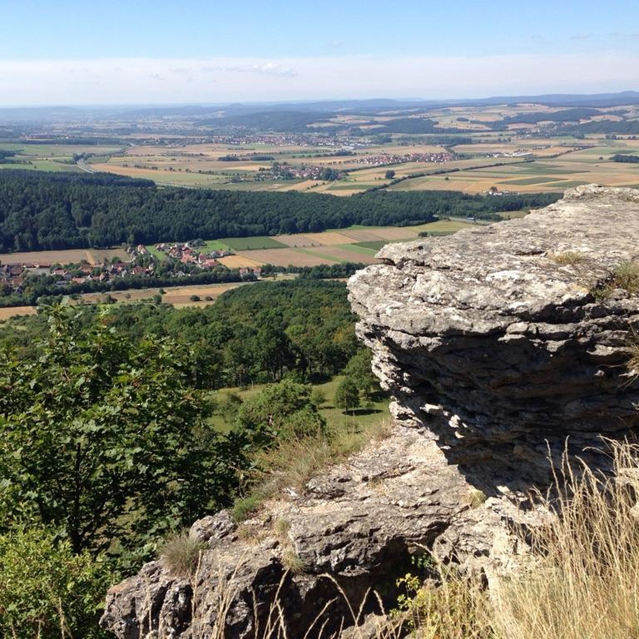
Beautiful viewpoint of the Rhine valley and the Black Forest. The Panoramafelsen is located at 780 m.
0
0

Super viewpoint from the top of the tower over the entire Alsace plain and the Vosges. !!! Be careful not to hit your head at the top of the stairs, there is only 1.40m of ceiling height !!!
0
0

Path intersection below the Heidenkopf
0
0

This hut/shelter was perfect for us (2p) to spend the night. It has a little river next to it were you can wash your clothes (its not big enough to go bathing). Very open space. Around 8 in the morning, some people arrived. Until eleven, the place was full with some nice locals and a family of five. So if you stayll in the summer, dont stay too long it is a „popular“ spot. Accessible with which means anyone can go there fast.
0
0

Absolutely wonderful views of the landscape on a clear day! Worth stopping for a break to enjoy the views.
0
0

Very nice view of the valley
0
0
Frequently Asked Questions
How many running routes are available around Ottrott, and what are their difficulty levels?
Ottrott offers a wide selection of over 80 running routes. These include 3 easy routes, 42 moderate routes, and 37 difficult routes, catering to various fitness levels and preferences.
Are there any running routes in Ottrott that offer panoramic views?
Yes, many routes provide stunning vistas. For challenging climbs and panoramic views, consider the Mount Saint Odile – Sentier des merveilles loop from Ottrott. Another excellent option is the Jadelot Kiosk Viewpoint – Mount Sainte-Odile loop from Ottrott, which features the scenic Jadelot Kiosk Viewpoint.
What kind of natural features can I expect to see on jogging trails near Ottrott?
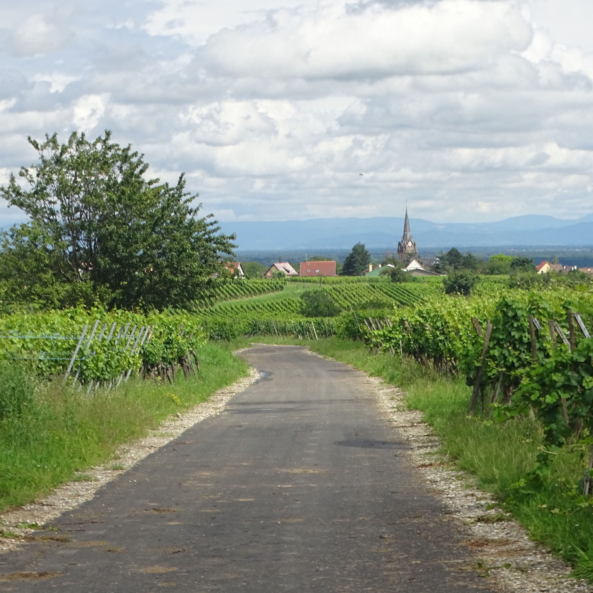
Jogging routes around Ottrott are characterized by extensive forests, the varied terrain of the Vosges foothills, and picturesque vineyards. You'll find a mix of flat sections and inclined paths, with some routes leading to natural monuments like the Saint Odile's Spring or the unique Rocher des Géants.
Are there any historical landmarks or castles along the running routes in Ottrott?
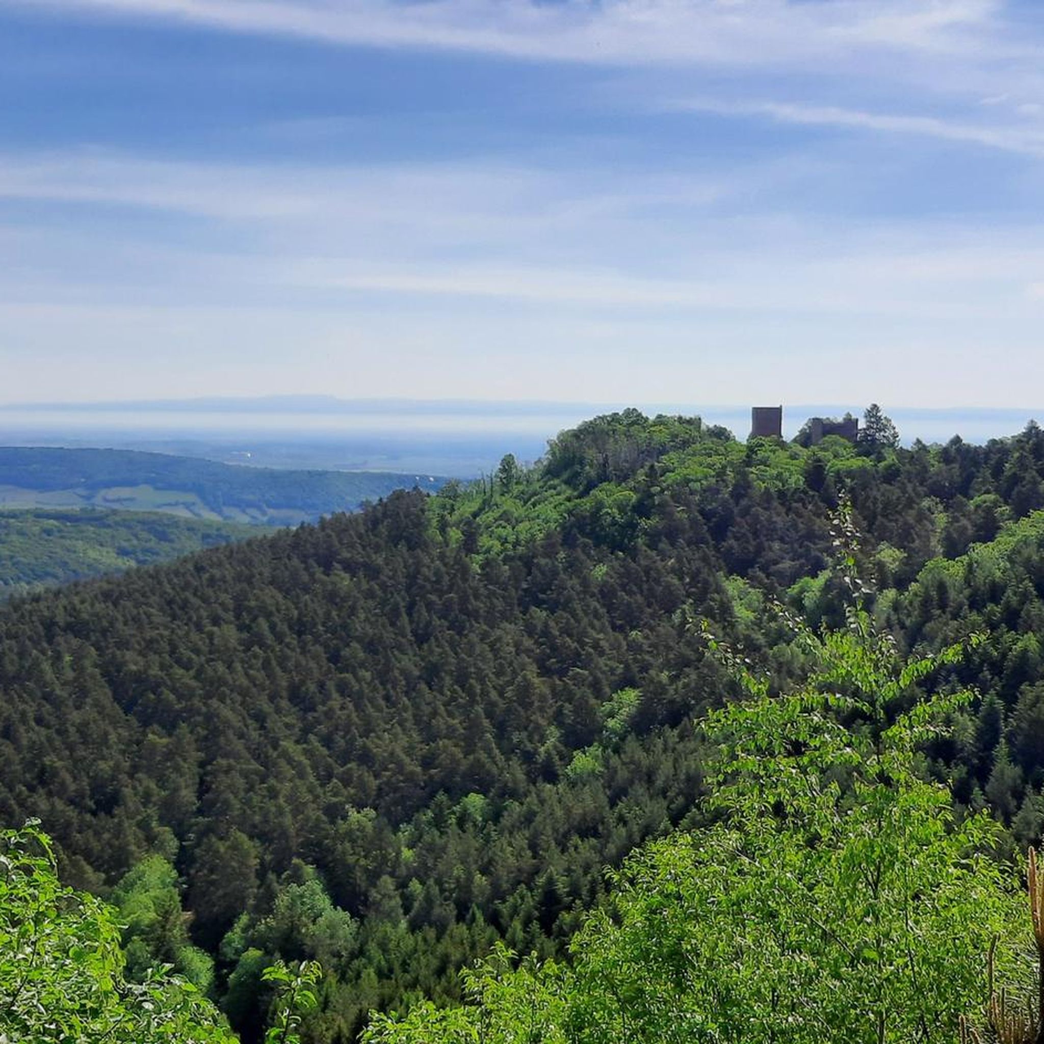
Absolutely. The region is rich in history. You can explore routes that pass by the ruins of 13th-century castles. For example, the Rathsamhausen Castle – Rocher des Géants loop from Ottrott takes you past historical castle ruins. Other notable castles in the area include Rathsamhausen Castle and Andlau Castle.
Are there any circular running routes available in Ottrott?
Yes, many of the running routes around Ottrott are circular, offering convenient starting and ending points. Examples include the Mount Saint Odile – Sentier des merveilles loop from Ottrott and the Mount Sainte-Odile – Rathsamhausen Castle loop from Ottrott.
What do other runners enjoy most about jogging in Ottrott?
The running routes in Ottrott are highly rated by the komoot community, with an average score of 4.6 stars from over 50 reviews. Runners frequently praise the varied forest terrain, the challenging climbs, and the stunning panoramic views from sites like Mont Sainte-Odile.
Are there any waterfalls accessible on running trails around Ottrott?
Yes, for those who enjoy the sound of cascading water, the Hohwald waterfall is a beautiful natural monument that can be incorporated into longer running adventures in the wider Ottrott area.
What is the best time of year to go running in Ottrott?
Ottrott's lush landscapes are beautiful year-round. Spring and autumn offer pleasant temperatures and vibrant foliage, making them ideal for running. Summer provides longer daylight hours, while winter can offer unique snowy trail experiences, though some paths might be more challenging.
Are there any longer, more challenging running routes for advanced runners?
Ottrott is well-suited for advanced runners seeking a challenge. Routes like the Mount Sainte-Odile – Rathsamhausen Castle loop from Ottrott, spanning over 23 km with significant elevation gain, provide demanding terrain and rewarding experiences.
Is it possible to access running trails near Ottrott using public transport?
While many routes start directly from Ottrott village, which has some public transport connections, specific access points for trails might require checking local bus schedules or considering a short taxi ride from nearby larger towns. Planning ahead is recommended for optimal access.
Are there any specific running events or races held in the Ottrott area?
Yes, the area is known for its running culture. The 'Club de Loisirs et de Détente d'Ottrott' (CLDO) organizes events such as the 'Courses des châteaux' (Castle Races), which include various distances like 5km, 10km, and 22km trail runs around Mont Sainte-Odile, highlighting the region's suitability for trail running.
Most popular routes around Ottrott
Most popular attractions around Ottrott

Get inspired with the komoot mobile app


Explore more
Browse the best Running Trails & Routes in other regions.
