The 9 Most Amazing Peaks around Pontcharra
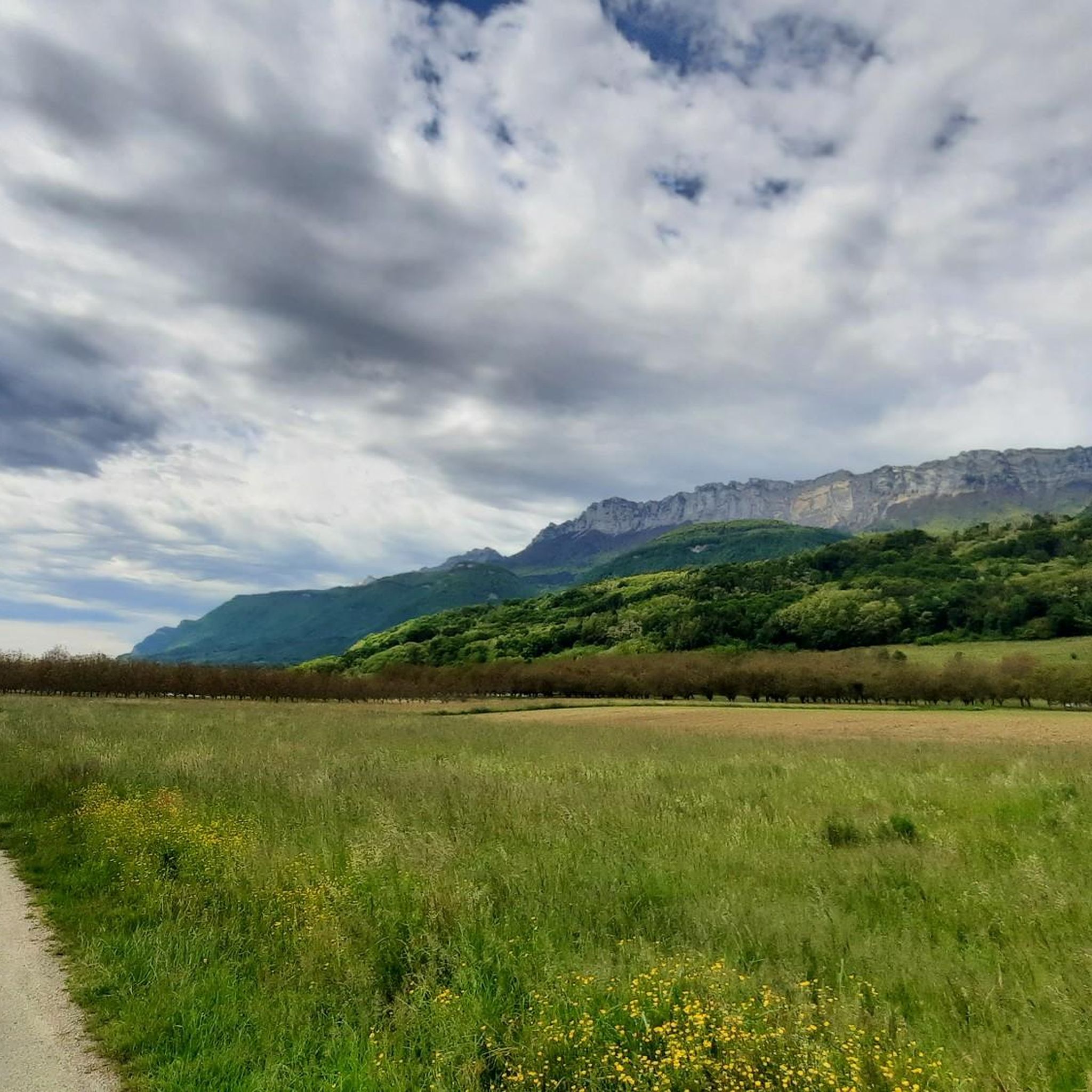
Best mountain peaks around Pontcharra are situated in the Isère department of France, offering access to the Belledonne and Chartreuse ranges. The area is characterized by its mountainous terrain, providing numerous opportunities for outdoor activities. Peaks in this region offer views of surrounding massifs and valleys. Pontcharra serves as a base for exploring these natural landmarks.
Best mountain peaks around Pontcharra
- The most popular mountain peaks is Mount Joigny, a summit that offers views over the highest peaks of…
Last updated: October 23, 2026
Aulp du Seuil Pass
Highlight • Mountain Pass
Translated by Google •
Tip by

Crêt du Poulet
Highlight • Summit
Translated by Google •
Tip by

Sign up now to discover places like this
Get recommendations on the best single tracks, peaks, & plenty of other exciting outdoor places.
Crêt Luisard
Highlight • Summit
Translated by Google •
Tip by
Pointe de la Bornée (1,507 m)
Highlight • Summit
Translated by Google •
Tip by

Watch Rock
Highlight • Viewpoint
Tip by

Sign up for free to discover even more peaks around Pontcharra.
Already have an account?
Start today with a free account
Your next adventure awaits.

Other adventures around Pontcharra

Tips from the Community

A panoramic view of the valley with a viewpoint indicator
0
0

The cross of the Aulp du seuil is located at 1825m above the cirque and marks the entrance to the high plateaus.
0
0

The viewpoint is in the forest, and the view is not clear at all, only the Granier is visible in a small gap between the leaves.
0
0

Great hike! Make sure you have good shoes with crampons because some slopes are a bit slippery. Magnificent view at the top.
0
0

on private property, with no-entry signs, especially at hunting time
0
0

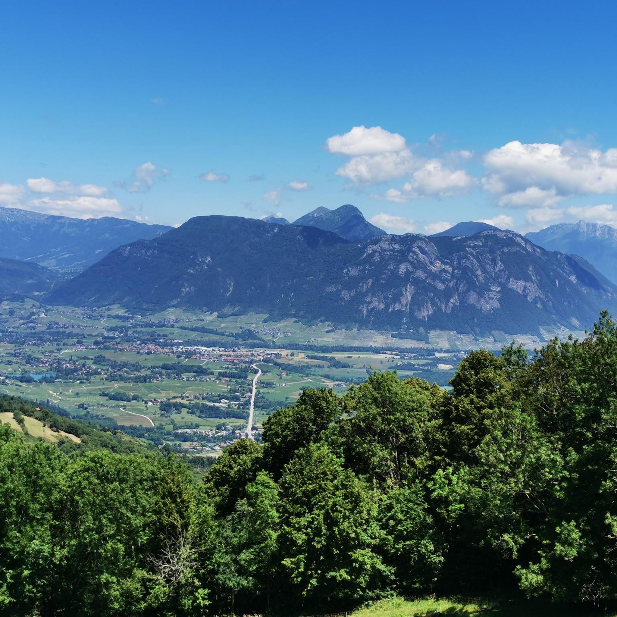
Magnificent 360° view of the North Belledonne massifs, the Grésivaudan valley overlooked by the long cliff of Chartreuse, the Bauges and the foot of Bugey behind the lake of the same name...
0
0
Magnificent viewpoints. Diverse landscapes
1
0

Perched at an altitude of 1,830 meters, the Aulp du Seuil passage offers sensational views. Crossing it offers a unique experience that does not include any difficulty.
1
0
Frequently Asked Questions
What kind of views can I expect from the mountain peaks around Pontcharra?
The peaks in the Pontcharra area offer diverse and expansive views. From summits like Crêt Luisard, you can enjoy magnificent 360° panoramas of the North Belledonne massifs, the Grésivaudan valley, the Chartreuse, and even the Bauges and Bugey mountains. Other peaks provide specific vistas, such as the breathtaking views of the Belledonne range and the Bauges from Crêt du Poulet.
Are there any mountain peaks with historical significance near Pontcharra?
Yes, Mount Joigny is notable for its historical context. It was the site of one of the most devastating rockfalls in the Alps in 1248. Additionally, Croix de l'Alpe features a summit cross erected in 1926 as a memorial to local climbers and hikers who lost their lives in the Alps.
What are some popular hiking trails near the mountain peaks of Pontcharra?
The Pontcharra area offers a variety of popular hiking trails. For example, you can explore routes like the 'Tour d'Avalon loop from Papet' or the 'Lake Lône loop from Pontcharra'. These trails vary in length and difficulty, providing options for different preferences. You can find more details on these and other routes in the Hiking around Pontcharra guide.
What is the best time of year to hike the mountain peaks around Pontcharra?
The best time to hike the mountain peaks around Pontcharra generally depends on the specific peak and your preferred conditions. Spring and autumn often offer pleasant temperatures and vibrant scenery, while summer provides longer daylight hours. For higher peaks, late spring to early autumn is usually ideal to avoid snow and ice, though conditions can vary. Always check local weather forecasts before heading out.
Are there family-friendly mountain walks or viewpoints in the Pontcharra area?
While some trails to the higher peaks can be challenging, there are options for families. For instance, the path to Watch Rock, though not always easy, offers an amazing view at the top and has been successfully completed by families with young children (ages 3, 5, and 7). When planning, look for routes described as 'easy' or 'intermediate' in the Hiking around Pontcharra guide.
What kind of terrain can I expect on the trails leading to the peaks?
The terrain leading to the peaks around Pontcharra can vary. For example, trails around Crêt du Poulet are multi-use hiking trails, which means they can be shared with other outdoor enthusiasts. Generally, you can expect mountain paths that may include rocky sections, forest trails, and ascents with varying gradients, typical of the Belledonne and Chartreuse ranges.
Are there any specific regulations for dog-friendly hiking on the mountain peaks?
While many outdoor areas in France are dog-friendly, specific regulations can apply, especially within protected natural areas or during certain seasons (e.g., nesting periods for birds). It's always recommended to keep dogs on a leash, especially near livestock or wildlife, and to clean up after them. Check local signage at trailheads for any specific rules regarding dogs in the Belledonne or Chartreuse massifs.
Where can I find parking for hiking trails to the mountain peaks near Pontcharra?
Parking availability can vary depending on the specific trailhead. Many popular starting points for hikes to peaks like Crêt du Poulet, Mount Joigny, Crêt Luisard, or Croix de l'Alpe will have designated parking areas, often small, at the base of the trails or in nearby villages. It's advisable to research the specific trailhead you plan to use for detailed parking information before your trip.
What other outdoor activities can I do near the mountain peaks of Pontcharra?
Beyond hiking, the region around Pontcharra offers various outdoor activities. You can find numerous routes for running, such as the 'La Tour d'Avalon loop' or the 'Lake Lône loop', detailed in the Running Trails around Pontcharra guide. Cycling is also popular, with routes like the 'Vignes de Myans – Col du Granier loop' available in the Cycling around Pontcharra guide.
Are there any cafes or accommodation options for hikers in Pontcharra or nearby?
Pontcharra itself offers various amenities including cafes, pubs, and accommodation options suitable for hikers. Additionally, some trails may have mountain huts or refuges along the way, such as a refuge located below Crêt du Poulet, which can be an ideal spot for a short break. Nearby towns like Allevard-les-Bains also provide services for visitors.
What do visitors enjoy most about the mountain peaks around Pontcharra?
Visitors frequently highlight the stunning panoramic views as a major draw. The opportunity to see the Belledonne and Chartreuse ranges, along with the Grésivaudan valley, is often mentioned. The sense of accomplishment from reaching a summit and the natural beauty of the surroundings are also highly appreciated by the komoot community, who have shared numerous photos and upvotes for these highlights.
Is public transport available to reach the trailheads for the mountain peaks?
While Pontcharra is a regional hub, direct public transport to specific mountain trailheads can be limited. It's often necessary to combine public transport to a nearby village with a walk or a short taxi ride to reach the starting point of a hike. For detailed information on public transport options, it's best to consult local transport schedules or inquire with the Pontcharra tourist office.
Most popular routes around Pontcharra
Most popular attractions around Pontcharra

Get inspired with the komoot mobile app


Explore more
See even more amazing summits around Pontcharra with these guides:
