The best walks and hikes around Combrimont
4.5
(1388)
6,477
hikers
220
hikes
Hiking around Combrimont offers a diverse landscape for outdoor exploration. The region is characterized by its varied terrain, including forests and hills, providing a range of experiences for hikers. Many trails feature elevation changes, leading through natural environments. Combrimont hiking trailheads are accessible, allowing for exploration of the surrounding natural areas.
Best hiking trails around Combrimont
- The most popular hiking route is Pebble Rock – Dry Fir Rock loop from Massif de l’Ormont, a 6.1 miles (9.8 km) trail…
Last updated: October 11, 2026
4.7
(13)
54
hikers
21.8km
07:07
900m
900m
Hard hike. Very good fitness required. Mostly accessible paths. Sure-footedness required.
6
hikers
11.1km
03:44
480m
480m
Moderate hike. Good fitness required. Mostly accessible paths. Sure-footedness required.

4.5
(2)
6
hikers
8.28km
02:30
280m
280m
Moderate hike. Good fitness required. Easily-accessible paths. Suitable for all skill levels.
4.7
(3)
5
hikers
4.38km
01:22
170m
170m
Easy hike. Great for any fitness level. Easily-accessible paths. Suitable for all skill levels.
5
hikers
10.7km
03:13
340m
340m
Moderate hike. Good fitness required. Easily-accessible paths. Suitable for all skill levels.
Get access to more routes and recommendations from other explorers.
Already have an account?
Our route recommendations are based on thousands of hikes, rides, and runs completed by other people on komoot.
Start today with a free account
Your next adventure awaits.


Tips from the Community

After more than a hundred years, the damaged remains of the metal ladder are still present.
4
0
The well-documented panoramic viewpoint with an orientation table is worth lingering at.
4
0
Using the ladder that leads to the top of the rock, the view over Saint Dié and the Vosges is superb. Be careful, however, if you are prone to vertigo.
3
0
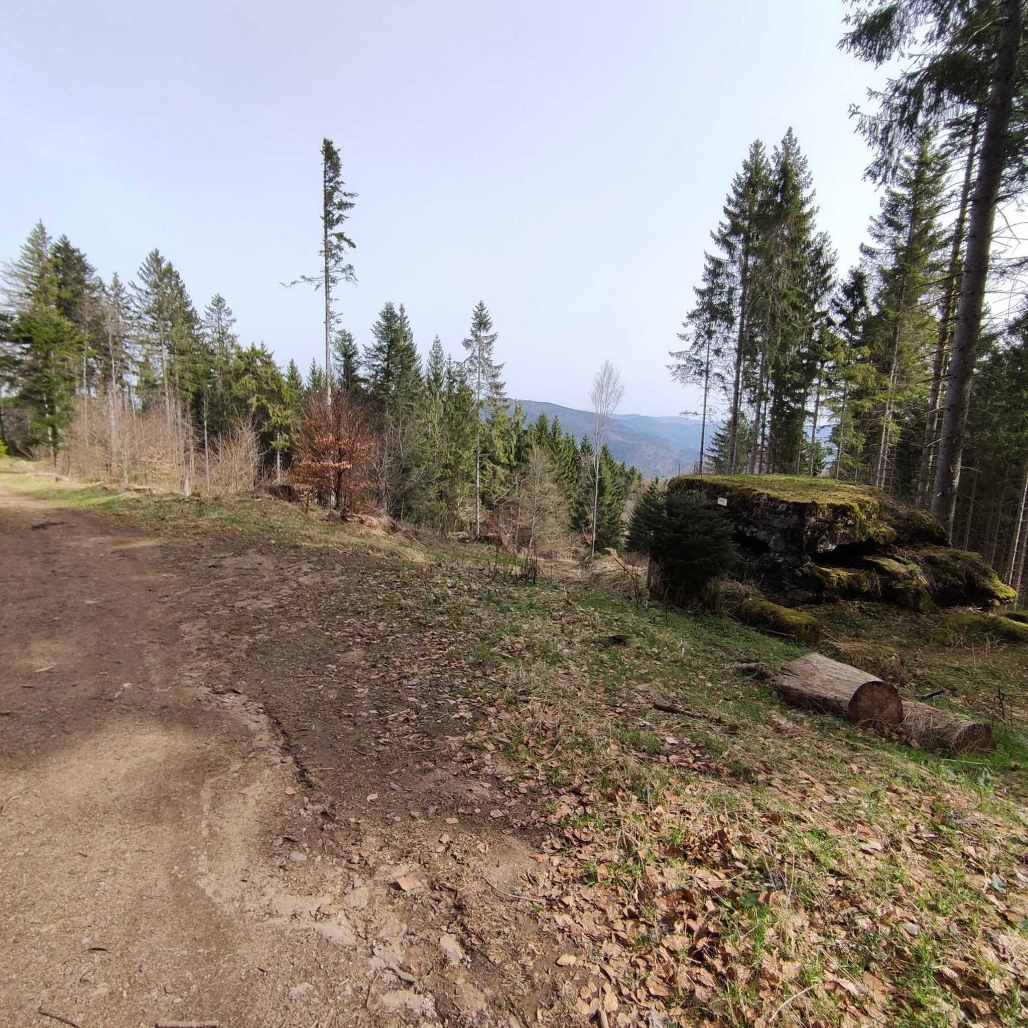
This big, very big flat stone seems immobile… without the slightest tremor 😉
4
0

Magnificent rock, very impressive and a great trail!
0
0
Great viewpoint!
0
0
Frequently Asked Questions
How many hiking trails are available around Combrimont?
Combrimont offers a wide variety of hiking opportunities, with over 230 routes recorded on komoot. This includes 82 easy trails, 123 moderate routes, and 28 more challenging options, ensuring there's something for every skill level.
Are there any easy, family-friendly hikes in Combrimont?
Yes, Combrimont has many easy trails suitable for families. For a gentle walk through scenic birch forests, consider the Birch Forest loop from Ban-de-Laveline, which is 5.2 km long. Another accessible option is the Roche des Abris – Ormont Rock loop from Massif de l’Ormont, also 5.2 km, leading through wooded areas with scenic points.
What kind of terrain can I expect on hikes around Combrimont?
The region around Combrimont is characterized by diverse terrain, including extensive forests and rolling hills. Many trails feature varied elevation changes, leading through natural environments. You'll find a mix of forest paths and open areas offering views of the local landscape.
Are there any circular walks in the Combrimont area?
Yes, many of the trails around Combrimont are circular, allowing you to start and end at the same point. A popular moderate circular route is the Pebble Rock – Dry Fir Rock loop from Massif de l’Ormont, which covers 9.8 km. For a longer, more challenging loop, the Dry Fir Rock – Fairy Rocks loop from Frapelle is a 21.3 km option.
What do other hikers say about the trails in Combrimont?
The hiking trails in Combrimont are highly regarded by the komoot community, with an average rating of 4.5 stars from over 1,000 reviews. Hikers often praise the quiet woodlands, varied terrain, and well-maintained paths that offer a rewarding outdoor experience.
Are there any viewpoints or scenic spots along the hiking trails?
Yes, the region offers several scenic points. For panoramic views, consider hikes that pass through mountain passes like the Bagenelles Pass or the View of the Vallée de la Lièpvrette from the Col des Bagenelles. Many routes also lead through elevated areas providing vistas of the surrounding forests and valleys.
Where can I find parking for hiking trailheads near Combrimont?
Trailheads around Combrimont are generally accessible, and many popular starting points for routes, such as those near Massif de l’Ormont or Ban-de-Laveline, typically offer designated parking areas. It's advisable to check the specific tour details on komoot for precise parking information for your chosen route.
What are some longer, more challenging hikes in the area?
For experienced hikers seeking a challenge, the Dry Fir Rock – Fairy Rocks loop from Frapelle is a difficult 21.3 km route with significant elevation changes, typically taking around 7 hours to complete. Another moderate option with a good distance is the View of Ban de Laveline – Ban-de-Laveline loop from Ban-de-Laveline, covering 12 km.
Are there any huts or shelters along the hiking routes in Combrimont?
Yes, there are several huts and shelters in the vicinity that can be useful during your hikes. Notable options include the Cabane de la Pierre des Trois Bans and the Refuge du Brézouard. These can offer a place to rest or take shelter, especially on longer routes.
What is the best time of year for hiking in Combrimont?
The best time for hiking in Combrimont generally spans from spring through autumn, when the weather is mild and the trails are clear. Spring brings blooming flora, while autumn offers vibrant fall foliage. Summer is also popular, but be prepared for warmer temperatures. Winter hiking is possible, but some trails may be covered in snow or ice, requiring appropriate gear.
Can I find cafes or places to eat near the hiking trails?
While specific cafes directly on every trailhead might be limited, the villages and towns surrounding Combrimont, such as Ban-de-Laveline, offer amenities where you can find refreshments and meals. It's always a good idea to pack snacks and water, especially for longer hikes, and plan your route to pass through or near a village if you intend to stop for food.
Most popular routes around Combrimont
Most popular attractions around Combrimont

Get inspired with the komoot mobile app


Explore more
Browse the best Hikes in other regions.
