The best road cycling routes around Combrimont
4.3
(313)
3,099
riders
135
rides
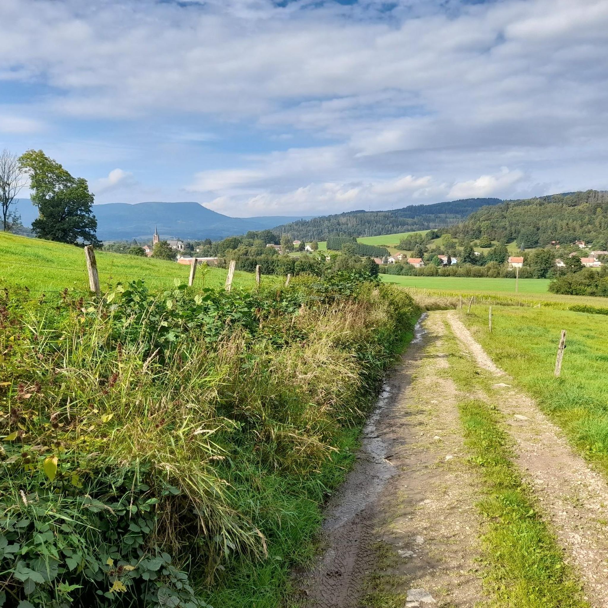
Road cycling routes around Combrimont are situated in the Vosges department of the Grand-Est region in France, offering a diverse and challenging landscape. The area is defined by the Vosges Mountains, which feature numerous mountain passes and extensive forests. Cyclists can navigate varied terrain, from demanding ascents to scenic valley routes. This region provides a range of road cycling experiences for different skill levels.
Best road cycling routes around Combrimont
- The most popular road cycling route is Liberty Tower –…
Last updated: October 8, 2026
3.8
(31)
163
riders
49.5km
02:13
430m
430m
Moderate road ride. Good fitness required. Mostly well-paved surfaces and easy to ride.
4.7
(3)
51
riders
53.8km
02:30
650m
650m
Moderate road ride. Good fitness required. Mostly well-paved surfaces and easy to ride.

5.0
(1)
45
riders
86.2km
04:41
1,680m
1,680m
Hard road ride. Very good fitness required. Mostly well-paved surfaces and easy to ride.
14
riders
109km
06:06
2,370m
2,370m
Hard road ride. Very good fitness required. Mostly well-paved surfaces and easy to ride.
4.0
(2)
16
riders
33.6km
01:30
320m
310m
Moderate road ride. Good fitness required. Mostly well-paved surfaces and easy to ride.
Get access to more routes and recommendations from other explorers.
Already have an account?
Our route recommendations are based on thousands of hikes, rides, and runs completed by other people on komoot.
Start today with a free account
Your next adventure awaits.
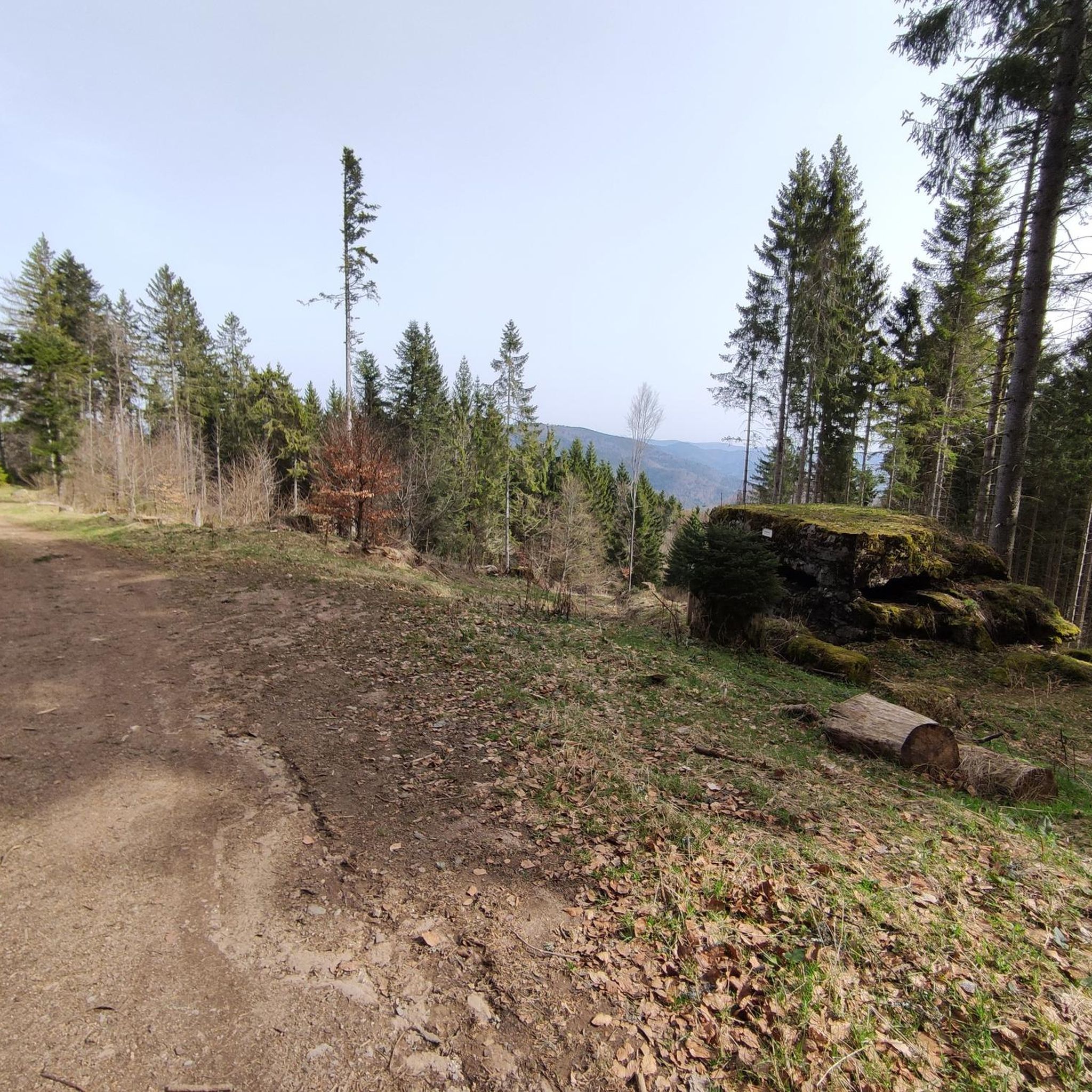
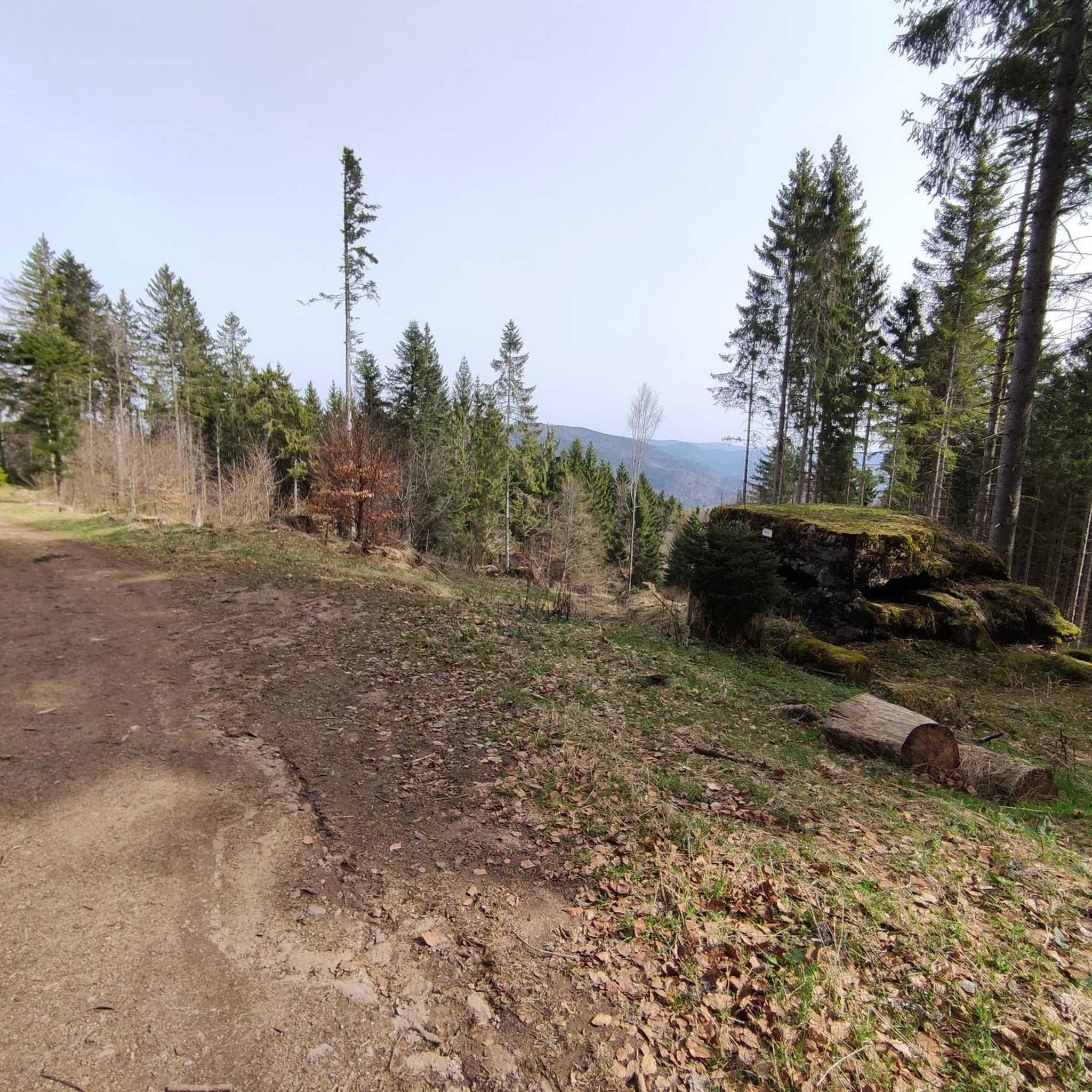


Tips from the Community

Definitely visit the chocolatier "Daniel Stoffel" there!
0
0


If you take the climb from Mandray village - and follow the - rusty - sign to the Col - that is different kind of cookie! 2, 9 km , averages at 11% with peaks up to 17%, and tough road conditions. Descend to Fraize is a blast!
0
0

yes up there you have a good view
2
0

Magnificent, not to be missed
0
0


Magnificent pass to climb from different slopes (Breitenbach, Steige, Vallée de la Bruche, Andlau). It is also a crossing point towards the Champ du feu, the Hohwald, the Mont Ste Odile.
0
0

La Petite-Fosse – Front village with memory This small village in the Vosges (altitude: 440–870 m) has barely 80 inhabitants, but played a prominent role during the First World War. The western front line ran right through the village, with heavy fighting around the nearby Spitzenberg. For its courageous resistance, La Petite-Fosse was awarded the Croix de Guerre in 1920. Today it is a peaceful place with a view of the surrounding mountains.
4
0
Frequently Asked Questions
How many road cycling routes are available around Combrimont?
There are over 140 road cycling routes around Combrimont, catering to various skill levels. These routes are highly rated by the komoot community, with an average score of 4.1 stars from over 200 reviews.
What kind of terrain can I expect when road cycling in the Combrimont region?
The Combrimont region, situated in the Vosges Mountains, offers a diverse and challenging landscape. You'll encounter numerous mountain passes like the Col du Grand Ballon and Col de Lauvy, extensive forests, and scenic valley routes. The area is renowned for its varied terrain, from demanding ascents to more leisurely rides.
Are there road cycling routes suitable for beginners or families in Combrimont?
Yes, while the region is known for challenging climbs, there are also easier routes available. For example, the Liberty Tower – Fave Valley loop from Provenchères-sur-Fave is an easy 37.5 km trail with moderate elevation gain, perfect for a more relaxed ride.
What are some challenging road cycling routes for experienced riders?
Experienced riders seeking a challenge will find plenty in Combrimont. The Haut de Ribeauvillé Pass – White Lake loop from Raves is a difficult 109.3 km path featuring significant elevation gain through the Vosges Mountains, including challenging mountain passes. The region is known for climbs featured in the Tour de France, such as La Planche des Belles Filles.
What natural features or viewpoints can I see along the road cycling routes?
Road cycling routes around Combrimont offer stunning natural beauty. You can enjoy expansive views from peaks like Petit Brézouard and Grand Ballon, explore extensive forests, and discover natural attractions such as the Cascade de la Pissoire and Lake Lispach. The nearby Alsace Wine Route also provides picturesque rides through vineyards.
Are there any historical landmarks or points of interest near the cycling routes?
Yes, the region is rich in historical and cultural sites. You might pass by the Bagenelles Pass, the Little Brézouard summit, or the Trail of the Hamlets Fallen for France – La Fontenelle. Other notable sites in the broader area include the Château du Haut-Koenigsbourg and Mont-Sainte-Odile.
When is the best time of year to go road cycling in Combrimont?
The best time to cycle in Combrimont is generally from spring through autumn. The region's vineyards along the Alsace Wine Route are particularly vibrant during late summer and early autumn, offering a picturesque cycling experience. Always check local weather conditions before heading out, especially for mountain passes which can be affected by snow or ice in colder months.
Are there any circular road cycling routes around Combrimont?
Yes, many of the routes around Combrimont are designed as loops, allowing you to start and end in the same location. For example, the Liberty Tower – Bertrimoutier church loop from Wisembach is a popular moderate route that forms a 53.8 km loop.
Can I find places to eat or drink along the cycling routes?
Yes, road cycling in the Vosges allows riders to discover local gastronomy. You can find traditional farmhouse-inns (fermes-auberges) along the way, offering opportunities to refuel and experience local cuisine.
What is the average duration for road cycling routes in Combrimont?
The duration of routes varies significantly based on distance and difficulty. An easy route like the Liberty Tower – Fave Valley loop might take around 1 hour 30 minutes, while a more challenging and longer route such as the Haut de Ribeauvillé Pass – White Lake loop can take over 6 hours to complete.
Is public transport available to access road cycling trails in Combrimont?
While specific public transport options directly to trailheads for bikes might be limited in rural areas like Combrimont, major towns in the Vosges region often have bus or train services. It's advisable to check local transport schedules and bike carriage policies for the Grand-Est region if you plan to use public transport to reach your starting point.
Where can I find parking for road cycling routes in Combrimont?
Parking is generally available in and around the villages that serve as starting points for many routes, such as Raves, Wisembach, or Provenchères-sur-Fave. Look for designated parking areas within these communities, especially near local amenities or trail access points.
Most popular routes around Combrimont
Most popular attractions around Combrimont

Get inspired with the komoot mobile app


Explore more
Browse the best Road cycling routes in other regions.
