The best road cycling routes around Büssing
4.6
(714)
27,766
riders
14
rides
Road cycling around Büssing, nestled in the Vosges mountains, offers diverse terrain for cyclists. The region features a mix of forested hills, river valleys, and challenging mountain passes. A network of greenways and scenic roads provides varied landscapes, including rock formations and river views. This area is characterized by opportunities to explore higher elevations and demanding climbs.
Best road cycling routes around Büssing
- The most popular road cycling route is Col du Page Memorial (957 m) – Col du Bramont (Southwest) loop from Bussang, a 38.8 miles (62.4 km) trail that takes 3 hours 30 minutes to complete. This challenging route features significant elevation gain through mountain passes.
- Another top favourite among local road cyclists is Col du Page Memorial (957 m) – Oderen Pass loop from Bussang, a difficult 28.2 miles (45.4 km) path. This route navigates through mountain passes, offering scenic views.
- Local road cyclists also love the Hautes Vosges Greenway – Voie Verte des Hautes Vosges loop from Bussang, a 37.5 miles (60.3 km) trail leading through greenways and river valleys, often completed in about 2 hours 43 minutes.
- Road cycling around Büssing is defined by forested hills, river valleys, and mountain passes. The network offers options for different ability levels, from moderate greenways to demanding climbs.
- The routes in Büssing are highly rated by the komoot community with an average score of 4.6 stars from over 100 reviews. More than 3000 road cyclists have used komoot to explore Büssing's varied terrain.
Last updated: October 9, 2026
4.5
(35)
1,655
riders
62.9km
03:35
1,400m
1,400m
Hard road ride. Very good fitness required. Some segments of this route may be unpaved and difficult to ride.
4.6
(53)
1,344
riders
71.9km
02:54
430m
430m
Moderate road ride. Good fitness required. Mostly well-paved surfaces and easy to ride.

4.2
(19)
564
riders
45.4km
02:32
990m
990m
Hard road ride. Very good fitness required. Mostly well-paved surfaces and easy to ride.
4.8
(15)
329
riders
53.4km
02:27
580m
580m
Moderate road ride. Good fitness required. Mostly well-paved surfaces and easy to ride.
4.7
(13)
413
riders
44.6km
02:49
1,240m
1,240m
Hard road ride. Very good fitness required. Mostly well-paved surfaces and easy to ride.
Get access to more routes and recommendations from other explorers.
Already have an account?
Our route recommendations are based on thousands of hikes, rides, and runs completed by other people on komoot.
Start today with a free account
Your next adventure awaits.
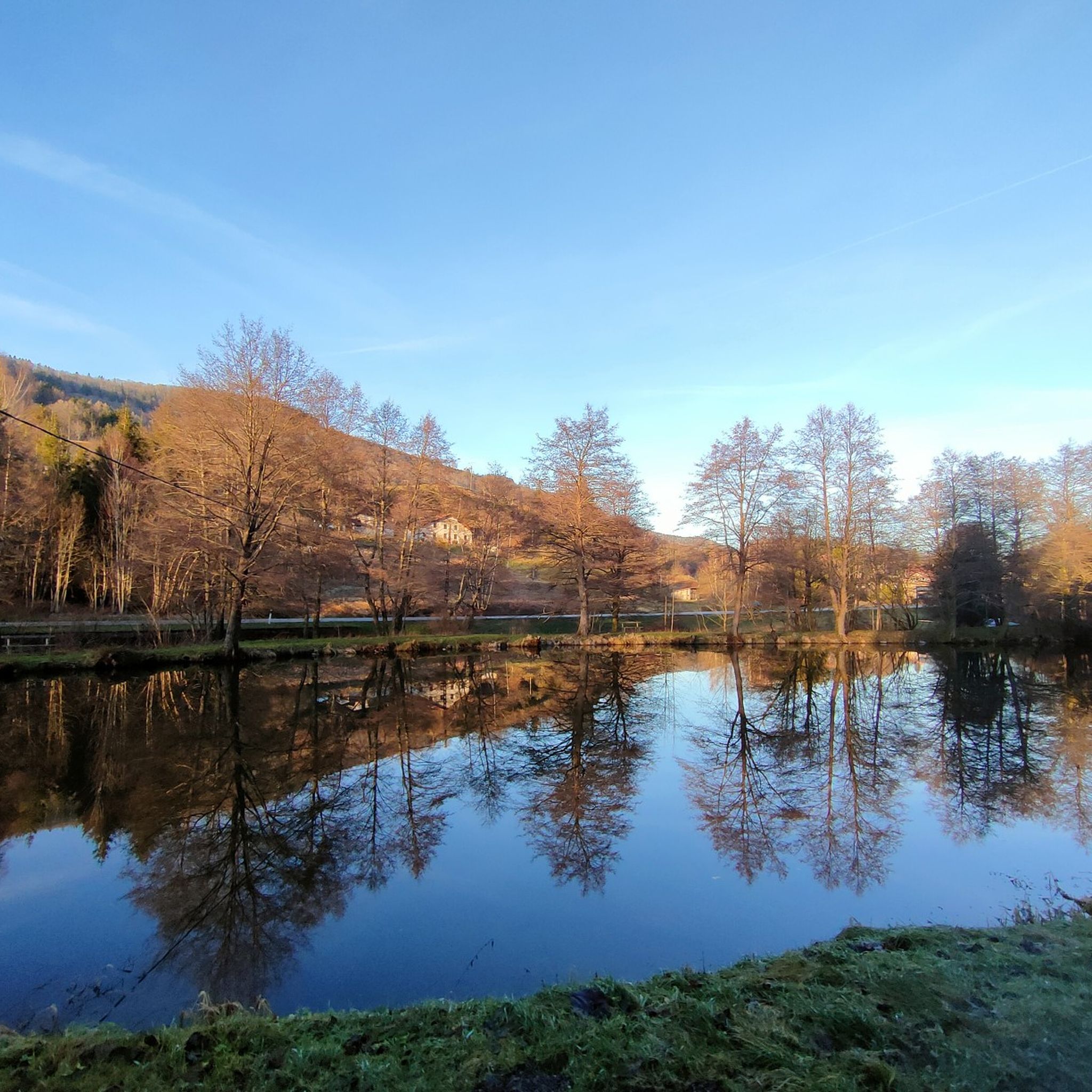
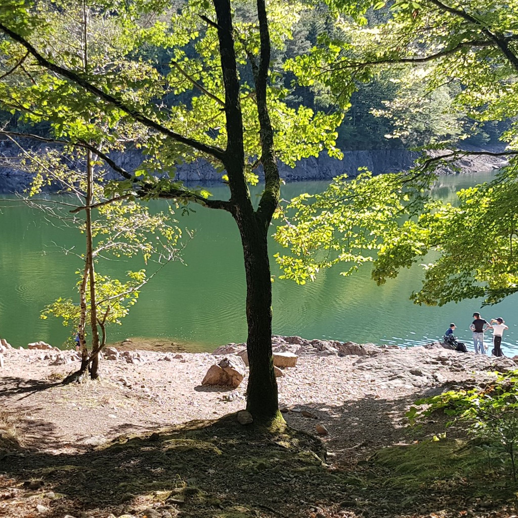
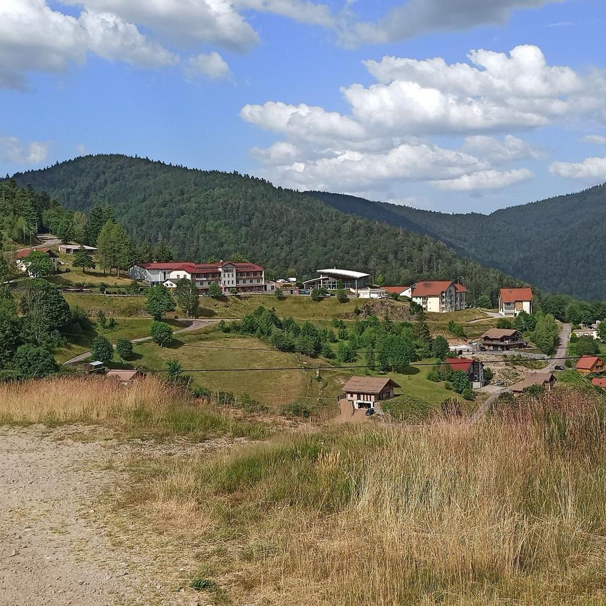


Tips from the Community

There are no restaurants or cafes at the summit of the Col de Bramont itself. However, the pass serves as a strategic junction. From the summit, you can directly connect to the famous Route des Crêtes (the D431), which links the main mountain peaks of the Vosges. This allows you to easily cycle or hike to larger attractions nearby, such as the Col de la Schlucht, the Hohneck, or the Grand Ballon. The climb is enjoyable due to its 12 hairpin bends on the southern flank (Kruth).
5
0
The climb starts relatively calmly; the first 4.5 kilometers hardly show any significant incline, while the road runs slightly undulating along the Lac de Kruth-Wildenstein reservoir. Only after that does the real climbing work begin over a distance of about 3.5 to 4 kilometers. From that moment on, the road winds its way up via 12 characteristic hairpin bends. The gradient during this section is very constant and fluctuates almost continuously around 5 to 6%, making the climb ideal for finding a steady rhythm. The road is well-asphalted and leads entirely through a dense pine forest. This allows you to cycle delightfully in the shade, although due to the dense vegetation at the top and during the climb, there are few sweeping views of the valley. Once at the top (955m), you can descend directly to the north side towards La Bresse or join the well-known Route des Crêtes to extend the ride to, for example, the Col de la Schlucht or the Grand Ballon.
4
0
The Col d' Oderen is an 8.2 kilometer climb. This is a category 3 climb. It is located in Cornimont, Lorraine, France. The average gradient of this climb is 3.9% with a maximum of 6%. The Col d' Oderen rises from 573 meters at the start to 885 meters at the top, with a total of 312 meters of elevation gain.
5
0
As soon as you enter the village centre of Le Ménil, the road noticeably steepens. From here, it is still 2.1 kilometers to the top. This section is very regular and has no surprises or steep outliers. The percentages constantly hover around 4.1%. You cover the last 86 meters of altitude here to the highest point at 621 meters.
1
0
Smooth, even pace between Le Ménil and Cornimont, wide road and mild gradients — ideal as a connecting climb in the southern Vosges massif.
1
0
The center of Le Thillot lies in the valley of the Moselle and forms a small but lively village heart. On the Place du 8 Mai stands the 19th-century Église Saint-Jean-Baptiste, surrounded by bakeries, cafés, and local shops. It is a compact, well-organized center with a mix of Vosges architecture, daily amenities, and a quiet village atmosphere. The bakery facade caught my attention.
5
0
De Col des Croix is a 679-meter-high mountain pass in the French Vogezen massif, located on the border of the Vosges and Haute-Saône departments. The pass forms an accessible connecting road (the D486) between the northern Le Thillot and the southern Servance. At the top, you will find the well-known Le Chalet Snack du Col des Croix, and the road splits towards the D16 (Route des Forts), the route that continues to the higher Ballon de Servance.
5
0

Brilliant ascent to the pass relatively quiet with a pleasant gradient
4
0
Frequently Asked Questions
How many road cycling routes are available around Bussang?
There are over 15 road cycling routes around Bussang, offering a variety of experiences. These include 2 easy routes, 5 moderate routes, and 8 difficult routes, catering to different skill levels.
What kind of terrain can I expect when road cycling near Bussang?
The terrain around Bussang is quite diverse, characterized by a scenic mix of forested hills, river valleys, and challenging mountain passes. You'll find opportunities to explore higher elevations and demanding climbs, as well as more gentle rides along greenways.
Are there routes suitable for beginners or less experienced road cyclists?
Yes, Bussang offers routes suitable for various abilities. While many routes involve significant climbs, there are 2 easy routes and 5 moderate routes that provide a less strenuous experience. For example, the region features greenways and scenic roads ideal for touring cyclists.
Can I find challenging road cycling routes with significant climbs in the Bussang area?
Absolutely. The Bussang area is known for its challenging mountain passes and significant elevation gains, with 8 difficult routes available. Routes like the Col du Page Memorial (957 m) – Col du Bramont (Southwest) loop from Bussang and the Col du Page Memorial (957 m) – Oderen Pass loop from Bussang are popular for their demanding ascents and scenic views.
What natural features or landmarks can I see while cycling around Bussang?
The region offers a wealth of natural beauty. You can cycle past impressive mountain peaks such as Ballon d'Alsace and Grand Ventron Summit. The routes also feature river views and rock formations, especially along the greenways.
Are there any waterfalls accessible from the road cycling routes?
Yes, the area around Bussang is home to several beautiful waterfalls. While cycling, you might encounter highlights such as the Bockloch Waterfall, Rummel Waterfalls, or the Heidenbad Waterfall, offering picturesque stops.
Are there circular road cycling routes available around Bussang?
Many of the road cycling routes around Bussang are designed as loops, allowing you to start and finish in the same location. This includes popular options like the Hautes Vosges Greenway – Voie Verte des Hautes Vosges loop from Bussang and the Ballon d'Alsace – Voie verte along the Moselle loop from Bussang.
What do other cyclists say about the road cycling experience in Bussang?
The road cycling routes in Bussang are highly rated by the komoot community, with an average score of 4.6 stars from over 100 reviews. Cyclists often praise the diverse landscapes, ranging from forested hills to challenging mountain passes, and the well-maintained greenways.
What is the best time of year to go road cycling in Bussang?
The Vosges mountains, where Bussang is located, offer pleasant cycling conditions from spring through autumn. Summer provides warmer temperatures, while spring and autumn offer cooler weather and beautiful foliage, making them ideal for tackling the mountain passes.
Are there options for parking or public transport access for road cyclists in Bussang?
Bussang is a good starting point for many routes, and parking is generally available in and around the village. While specific public transport options for cyclists can vary, the region's focus on outdoor activities means accessibility is often considered for visitors.
Are there any routes that follow greenways or river valleys for a more relaxed ride?
Yes, the region boasts a network of greenways and scenic roads that are perfect for a more relaxed pace. The Hautes Vosges Greenway – Voie Verte des Hautes Vosges loop from Bussang is a prime example, leading through greenways and river valleys, offering a moderate and enjoyable ride.
Can I find routes that take me through mountain passes?
Definitely. Road cycling around Bussang is synonymous with mountain passes. Routes like the Col du Page Memorial (957 m) – Col du Bramont (Southwest) loop from Bussang and the Col du Page Memorial (957 m) – Oderen Pass loop from Bussang are specifically designed to navigate these challenging and rewarding ascents.
Are there any specific peaks I can cycle towards or past in the region?
Yes, the Vosges mountains offer several notable peaks that can be part of your cycling adventure. You can cycle towards or past iconic summits such as Ballon d'Alsace, Ballon de Servance, and Grand Ventron Summit, often rewarded with stunning views.
Most popular routes around Büssing
Most popular attractions around Büssing

Get inspired with the komoot mobile app


Explore more
Browse the best Road cycling routes in other regions.
