The best gravel rides around Büssing
4.1
(27)
247
riders
17
rides
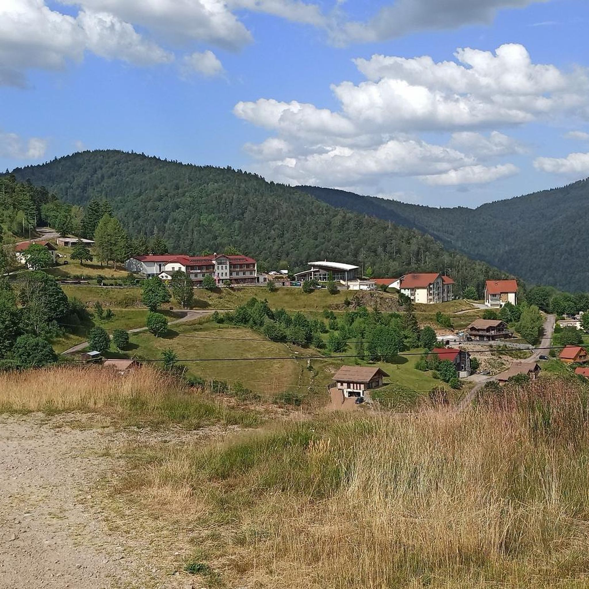
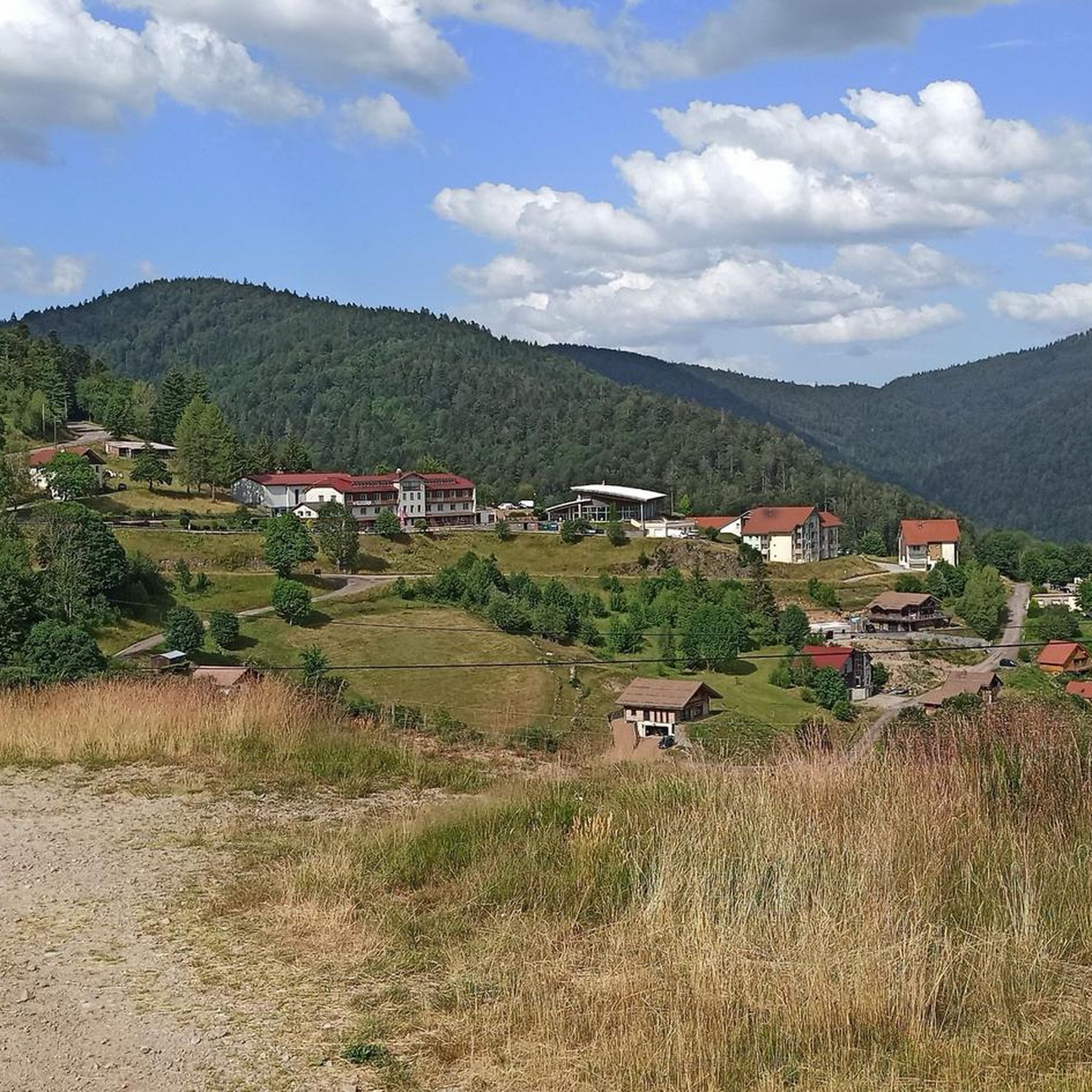
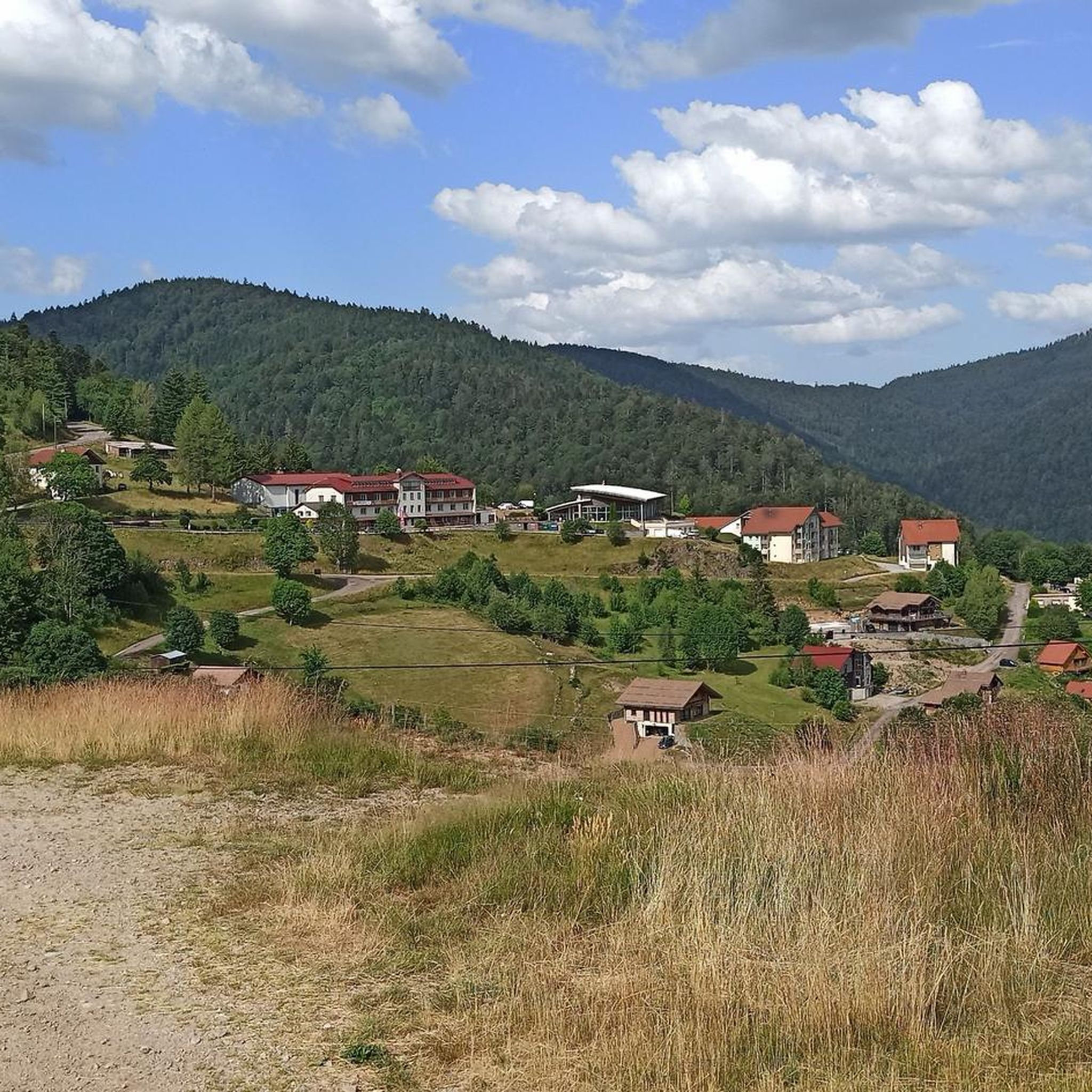
Gravel biking around Büssing offers a diverse landscape characterized by forested hills and scenic river valleys. The region, situated in the Vosges mountains, features routes with significant ascents and mountain passes, alongside gentler greenways. These varied terrains provide an ideal setting for exploring unpaved surfaces and natural surroundings. The area is also close to the source of the Moselle River, allowing for routes that trace its beginnings.
Best gravel bike trails around Büssing
- The most popular gravel bike trail is Ballon d'Alsace – La Planche des Belles Filles loop from Saint-Maurice-sur-Moselle, a 39.3 miles (63.3 km) trail that takes 4 hours 30 minutes to complete. This challenging route features substantial elevation gain through mountainous terrain.
- Another top favourite among local gravel bikers is Ballon d'Alsace – Rue du Ballon d'Alsace. loop from Saint-Maurice-sur-Moselle, a difficult 16.6 miles (26.7 km) path. This route offers a demanding ride with considerable climbing, typical of the Vosges mountain environment.
- Local gravel bikers also love the Ballon d'Alsace – Rue du Ballon d'Alsace. loop from Fontaine Minerale, a 19.9 miles (32.2 km) trail leading through forested areas and mountain passes, often completed in about 2 hours 45 minutes.
- Gravel biking around Büssing is defined by forested hills, river valleys, and mountain passes. The network offers options for different ability levels.
- The routes in Büssing are highly rated by the komoot community with an average score of 3.9 stars from over 10 reviews. More than 100 gravel bikers have used komoot to explore Büssing's varied terrain.
Last updated: October 6, 2026
4.5
(4)
55
riders
63.5km
04:32
1,590m
1,590m
Hard gravel ride. Very good fitness required. Mostly paved surfaces. Suitable for all skill levels.
4.3
(3)
54
riders
Hard gravel ride. Very good fitness required. Mostly paved surfaces. Suitable for all skill levels.

4.3
(4)
45
riders
34.4km
02:26
790m
790m
Hard gravel ride. Very good fitness required. Mostly paved surfaces. Suitable for all skill levels.
5.0
(2)
18
riders
51.3km
03:45
1,390m
1,390m
Hard gravel ride. Very good fitness required. Mostly paved surfaces. Suitable for all skill levels.
8
riders
34.5km
02:27
790m
790m
Hard gravel ride. Very good fitness required. Mostly paved surfaces. Suitable for all skill levels.
Get access to more routes and recommendations from other explorers.
Already have an account?
Our route recommendations are based on thousands of hikes, rides, and runs completed by other people on komoot.
Start today with a free account
Your next adventure awaits.

Tips from the Community

De Col des Croix is a 679-meter-high mountain pass in the French Vogezen massif, located on the border of the Vosges and Haute-Saône departments. The pass forms an accessible connecting road (the D486) between the northern Le Thillot and the southern Servance. At the top, you will find the well-known Le Chalet Snack du Col des Croix, and the road splits towards the D16 (Route des Forts), the route that continues to the higher Ballon de Servance.
4
0
La Planche des Belles Filles is a 5.8 kilometer climb. It is a category 1 climb. It is located in Plancher Les Mines, Franche-Comté, France. The average gradient of this climb is 8.6% with a maximum of 13.6%. La Planche des Belles Filles climbs from 527 meters at the start to 1,033 meters at the summit, for a total elevation gain of 506 meters.
4
0
This 5.9-kilometer climb from the village of Plancher-les-Mines in Haute-Saône is one of the most difficult in the Vosges. Indeed, cyclists who want to try it will need to be at least somewhat trained. With a gradient of 24% towards the end of the route, it's better to be well-attached. The gradient never seems to ease, with its hairpin bends and, upon reaching the resort, the last 2 kilometers rise like a wall. However, you'll be able to say that you've done it, so come and try the climb of La Planche too!
5
0

Located at an altitude of 767m, the Chapelle des Vés de Fresse sur Moselle was built in 1863 by the farmers of the Fresse sur Moselle hill with materials from the old village church.
0
0

beautiful cycle path along the Moselle
1
0
Beautiful building in Bussang
0
0
we followed your route for many kilometers
0
0

This is the slightly easier ascent to the Ballon d'Alsace from Giromagny
0
0
Frequently Asked Questions
How many gravel bike trails are available around Bussang?
There are over 35 gravel bike trails around Bussang, offering a wide range of options for exploring the Vosges mountains. The komoot community has actively explored these routes, with more than 300 gravel bikers using komoot to discover the area's diverse terrain.
What kind of terrain can I expect on gravel bike trails around Bussang?
The terrain around Bussang is characterized by forested hills, scenic river valleys, and significant mountain passes. You'll find a mix of unpaved surfaces, challenging ascents, and gentler greenways, providing a varied experience for gravel bikers. The region is also close to the source of the Moselle River, allowing for routes that trace its beginnings.
What is the best time of year for gravel biking in Bussang?
The best season for gravel biking in the Vosges mountains around Bussang is typically from spring to autumn, specifically from May to October. During these months, the weather is milder, and the scenery is vibrant, making for more enjoyable rides.
Are there any family-friendly or beginner-friendly gravel routes in Bussang?
While many routes in the Vosges mountains around Bussang feature significant elevation gain and are rated as difficult, the region also offers greenways. These are often former railway lines, providing gentler gradients and a more relaxed cycling experience away from heavy traffic, which can be suitable for families or beginners looking for an easier ride. For example, the "Voie Verte des Hautes-Vosges" offers a scenic path.
Are there circular gravel bike routes available in Bussang?
Yes, many of the gravel bike routes around Bussang are designed as loops, allowing you to start and finish at the same point. Examples include the challenging Ballon d'Alsace – La Planche des Belles Filles loop from Saint-Maurice-sur-Moselle and the demanding Col du Page Memorial (957 m) – Col du Bramont (Southwest) loop from Bussang.
What are some notable landmarks or viewpoints along the gravel bike trails?
The trails often lead through areas with stunning natural beauty and significant landmarks. You can encounter impressive mountain passes like Ballon d'Alsace and Col de Bramont. The region also features beautiful natural monuments such as Markstein and the summit of Ballon de Servance, offering panoramic views.
Can I see any natural features like waterfalls or lakes while gravel biking?
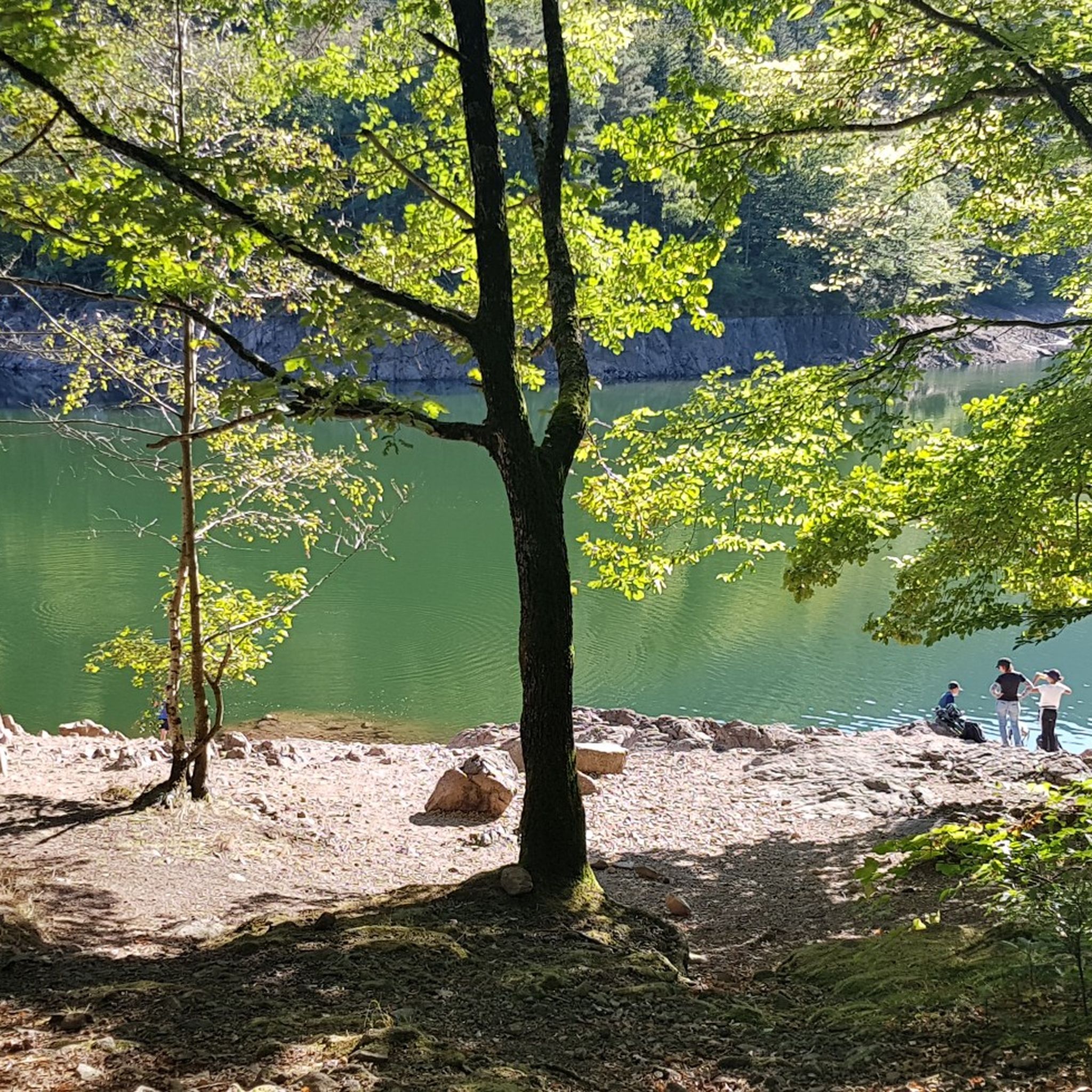
Absolutely! The Bussang area is rich in natural features. You can discover beautiful lakes such as Crow Lake and Lake Kruth-Wildenstein. For those who enjoy waterfalls, the Bockloch Waterfall is another highlight you might encounter.
How challenging are the gravel bike trails in Bussang?
The gravel bike trails around Bussang are generally considered challenging, with all 37 routes listed as 'difficult' in our guide. They often feature substantial elevation gains, typical of the Vosges mountain environment. For instance, the Ballon d'Alsace – Rue du Ballon d'Alsace. loop from Saint-Maurice-sur-Moselle is a demanding 26.6 km path with considerable climbing.
What do other gravel bikers say about the trails in Bussang?
The gravel biking experience in Bussang is highly rated by the komoot community, with an average score of 4.3 stars from over 20 reviews. Riders often praise the diverse landscape, including forested hills, river valleys, and the challenging yet rewarding mountain passes that define the region.
Are there cafes or accommodation options near the gravel bike trails?
Yes, the region offers various amenities for visitors. While specific cafe locations vary by route, you can often find places to eat and stay in the villages and towns near the trails. For example, one route mentions 'Auberge La Chaumière', indicating that local inns and restaurants are available to refuel and relax after your ride.
How can I get to the gravel bike trails in Bussang, and is parking available?
Bussang is located in the Vosges mountains of northeastern France, accessible by car. Parking is generally available in the towns and villages that serve as starting points for the trails, such as Bussang itself or Saint-Maurice-sur-Moselle. While specific public transport details are not provided, regional bus services often connect smaller towns in the Vosges, and train stations might be found in larger nearby cities.
Most popular routes around Büssing
Most popular attractions around Büssing

Get inspired with the komoot mobile app


Explore more
Browse the best Gravel rides in other regions.
