The best running trails around Rochetoirin
4.5
(99)
3,393
runners
453
runs
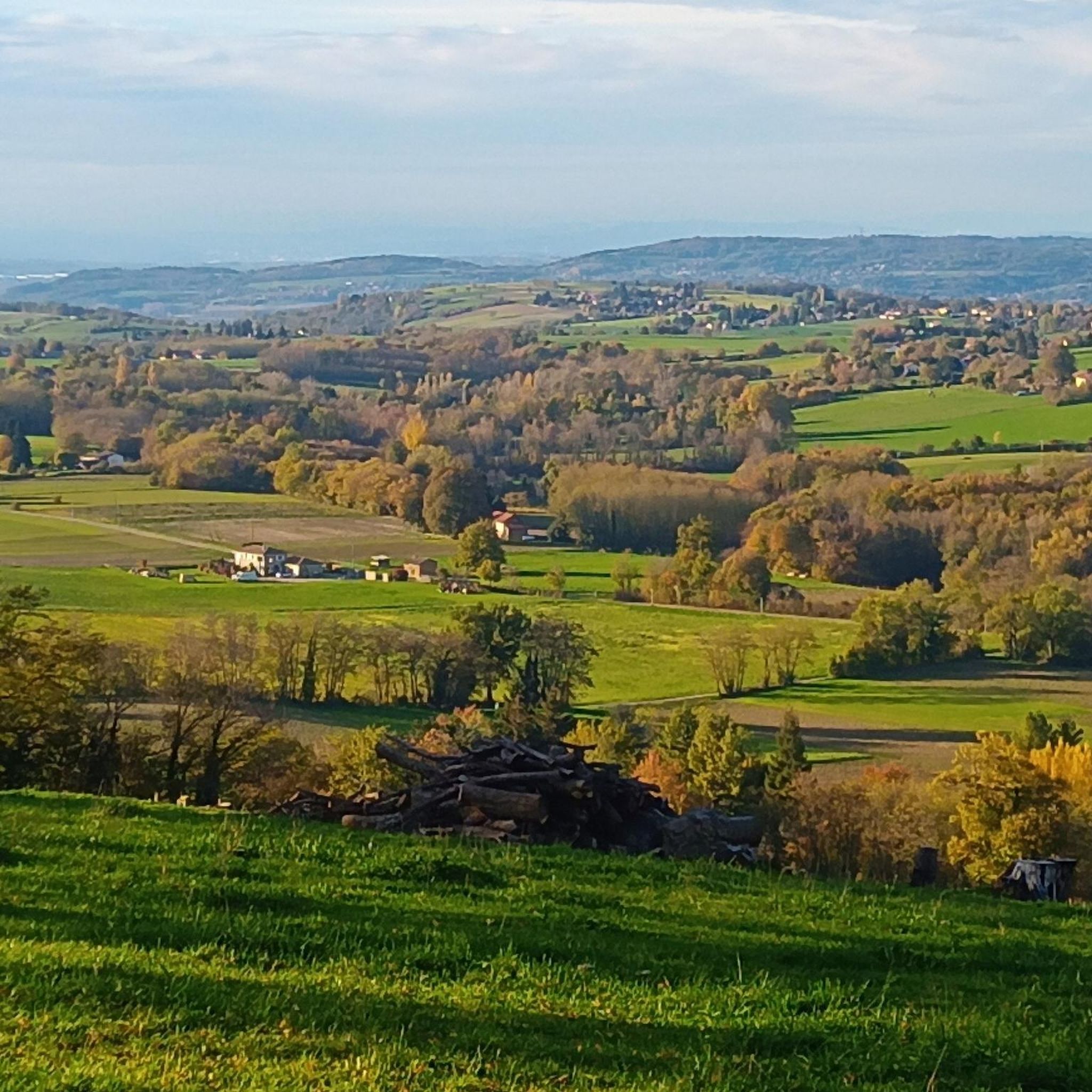
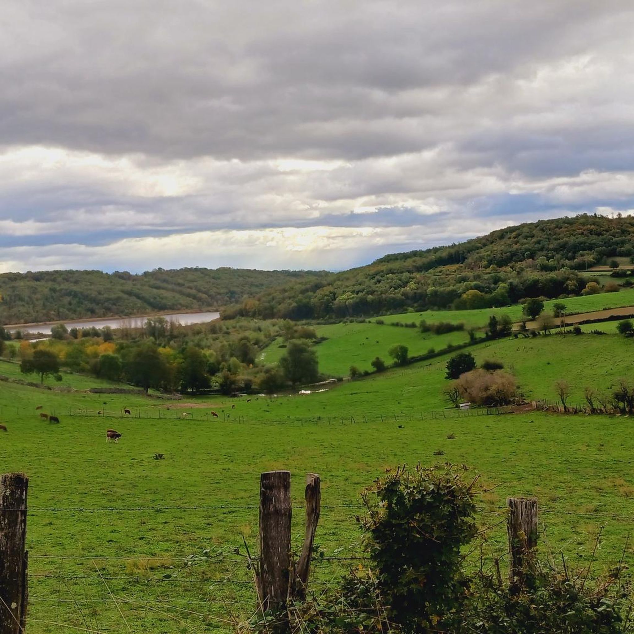
Jogging routes around Rochetoirin offer diverse landscapes across the Isère department, situated between the plains of Lyon and the Bas-Dauphiné plateau. The region features low to medium-altitude hills, long valleys, and open plains, providing varied terrain for runners. Key natural features include the Étang de Gole, the Bourbre river, and the Ruisseau de l'Enfer, all contributing to scenic running experiences. Routes often ascend to plateaus, offering panoramic views of surrounding mountain ranges such as Mont-Blanc, Chartreuse, and Vercors.
Best jogging…
Last updated: July 1, 2026
5
runners
10.7km
01:17
210m
210m
Moderate run. Good fitness required. Mostly paved surfaces. Suitable for all skill levels.
8
runners
9.25km
01:08
180m
180m
Moderate run. Good fitness required. Mostly paved surfaces. Suitable for all skill levels.

Sign up for free
3
runners
9.74km
01:04
150m
150m
Moderate run. Good fitness required. Mostly paved surfaces. Suitable for all skill levels.
5
runners
21.0km
02:29
420m
420m
Hard run. Very good fitness required. Mostly paved surfaces. Suitable for all skill levels.
3
runners
21.4km
02:34
460m
460m
Hard run. Very good fitness required. Mostly paved surfaces. Suitable for all skill levels.
Get access to more routes and recommendations from other explorers.
Sign up for free
Already have an account?
Our route recommendations are based on thousands of hikes, rides, and runs completed by other people on komoot.
Start today with a free account
Your next adventure awaits.
Login or Signup

Tips from the Community

Found somewhat by chance and at a very affordable price, this hotel restaurant is a superb stopover for a bike ride!
0
0

Chapeau Cornu Castle was originally a fortified house built on the site of an ancient Roman camp. Between 800 and 1100, feudalism took hold. The sovereigns of Vienna and the Bishop created “rear fiefdoms” to ensure security and repel attackers. In the 12th and 13th centuries, there were two allied families: the Capellas and the Cornutis. It is by derivative of these 2 Latin names that “Chapeau Cornu” was born. In 1300, Amédée de Rossilon was governor of Chapeau Cornu. He left this property to his nephews Pierre and Louis Chapel. After Pierre's death in 1358, Louis succeeded him. Pierre will leave 2 daughters, one of whom Antonia marries the Knight Etienne Laure, Lord of Veyssillieu. The latter was killed by the English while fighting under Duguesclin. His son Jacquemont Laure avenged him and his daughter Béatrice married Imbert de Groslée, Seneschal of the King, in 1413. His sons and descendants remained in Chapeau Cornu until 1650. It was in 1601 that Chapeau Cornu took the name Château. But in 1638, the Castle fell into disuse. The last occupants, the Matthieu de Rame couple, left no children and in 1693, the property passed to Aymard Micha de Burcin. He expanded the estate through multiple purchases and died in 1755, donating all his property to his cousin Philippe Guillaume de Grammont. After the storming of the Bastille on the night of July 25 to 26, 1789, “the great fear” began. A band of rioters, determined to destroy the property of the squires, arrived in Chapeau Cornu at 1 a.m. The steward at the time had the idea of treating them as guests and opened the doors of the wine cellars to them. The damage underground is impressive: the undrinked wine is emptied but the castle remains intact. After the Revolution, the castle was purchased by Jean André Barge from the de Certeau family. He diverted the bed of the stream coming from the hill which then passed into the castle. He had the large buildings to the south-east and east built on the vault. Ruined, he sold part of the land to people from Vignolles. In 1855, the castle and 80 hectares surrounding it were bought by his son Ferdinand de Certeau. The estate remained in the family until 1891. The Bourgoin Court then ordered a judicial liquidation and had the property sold in several lots. Source: Vignieu website
1
0
Nice view of the Chapeau Cornu castle from the road.
0
0

You don't need to go inside the castle to appreciate its beauty.
2
0
Frequently Asked Questions
How many jogging routes are available in Rochetoirin?
Rochetoirin offers a wide selection of running opportunities, with over 450 routes available on komoot. These range from easy strolls to more challenging runs, catering to various fitness levels.
Are there easy running routes suitable for beginners in Rochetoirin?
Yes, Rochetoirin has options for beginners. While many routes are moderate or difficult, there are approximately 50 easier running trails available. These routes often feature less elevation gain, making them ideal for those new to running or looking for a more relaxed pace.
What kind of views and landmarks can I expect along the running paths in Rochetoirin?
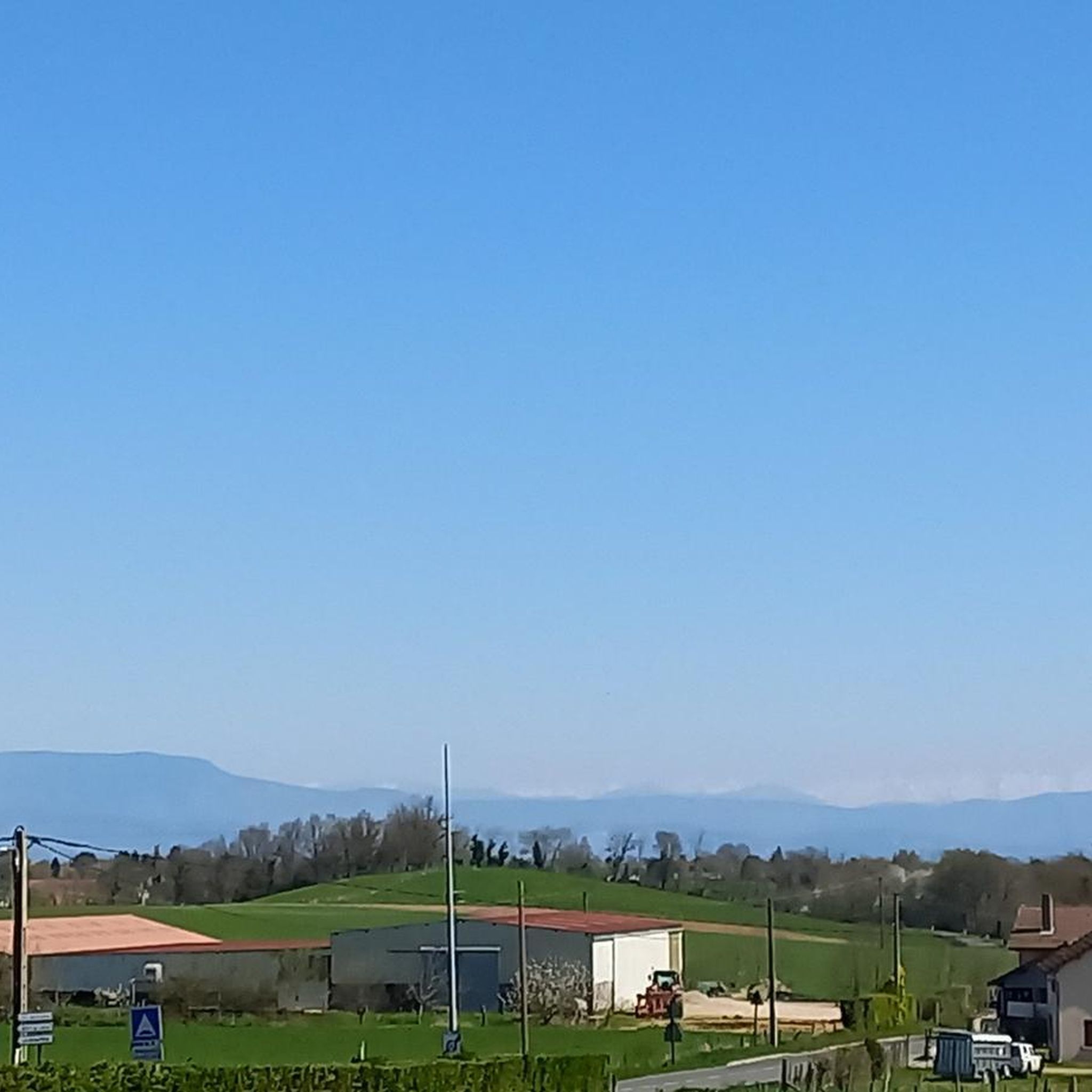
Running routes in Rochetoirin often ascend to plateaus, providing breathtaking 360° views of surrounding mountain ranges like Mont-Blanc, Chartreuse, Belledonne, Vercors, Jura, Pilat, and Ardèche. You might also encounter natural features such as the Étang de Gole, the Bourbre river, and the Ruisseau de l'Enfer. For specific landmarks, consider routes that pass near the Chateau de Chapeau Cornu or the picturesque Étang de la Rosière.
Are there many circular jogging routes in Rochetoirin?
Yes, many of the running routes in Rochetoirin are circular, offering convenient loops that bring you back to your starting point. Examples include the Running loop from Rochetoirin, the Ruisseau de l'Enfer loop from Rochetoirin, and the longer Étang de Gole loop from Rochetoirin.
What do other runners say about the trails in Rochetoirin?
The running trails in Rochetoirin are highly regarded by the komoot community, boasting an average rating of 4.5 stars from over 100 reviews. Runners frequently praise the diverse landscapes, the mix of plains and hills, and the stunning panoramic views of the Alps.
What is the best time of year for running in Rochetoirin?
The Isère department, where Rochetoirin is located, is known for its wild and magnificent nature that changes with the seasons. This offers diverse ecosystems throughout the year. While specific seasonal conditions for running aren't detailed, the varied terrain and natural beauty suggest that spring and autumn would be particularly pleasant for running, with milder temperatures and vibrant scenery. Summer can also be enjoyable, especially in the mornings or evenings, while winter might offer unique, crisp running experiences.
Are there any longer or more challenging running routes in Rochetoirin?
Absolutely. For those seeking a greater challenge, Rochetoirin offers several difficult routes. The Étang de Gole loop from Rochetoirin is a demanding 20.8 km trail with over 450m of elevation gain. Another challenging option is the Biousse – Chateau de Chapeau Cornu loop from Rochetoirin, which covers 21.7 km with nearly 500m of ascent.
Can families enjoy jogging trails in Rochetoirin?
Rochetoirin's diverse landscapes and accessible trails make it suitable for various activities, including family outings. While specific 'family-friendly' jogging routes aren't explicitly detailed, the presence of easier routes and picturesque natural features like the Étang de Gole suggests that many paths could be enjoyed by families looking for a gentle run or walk together. Always check the route difficulty and length to ensure it matches your family's capabilities.
What natural features will I encounter on the running routes around Rochetoirin?
The running routes in Rochetoirin are rich in natural beauty. You'll often find yourself traversing through forests like the Forêt de Tire-Gerbe, running alongside waterways such as the Bourbre river and the Ruisseau de l'Enfer, and circling the scenic Étang de Gole. The region's mix of plains and hills also provides opportunities to connect with local flora and fauna.
Is there information on parking availability for the running trails in Rochetoirin?
While specific parking locations for each trailhead are not detailed in this guide, it is generally advisable to look for designated parking areas near the start of popular routes or in the village center of Rochetoirin. For more precise information, local signage or community resources in Rochetoirin may provide guidance.
Are the running routes in Rochetoirin accessible by public transport?
Rochetoirin is situated in a more rural part of the Isère department. While the region is well-connected, direct public transport access to specific trailheads might be limited. It is recommended to check local bus schedules or regional transport options to Rochetoirin village, and then plan your route from there. For detailed public transport information, consulting local French transport websites would be beneficial.
Are there dog-friendly running routes in Rochetoirin?
Rochetoirin's natural environment and varied trails generally welcome dogs, provided they are kept under control and local regulations are respected. Many of the routes, especially those through forests and along waterways, offer pleasant experiences for runners with their canine companions. Always ensure your dog is on a leash where required and that you clean up after them to preserve the natural beauty of the area.
Most popular routes around Rochetoirin
Most popular attractions around Rochetoirin

Get inspired with the komoot mobile app


Explore more
Browse the best Running Trails & Routes in other regions.
