The best mountain hikes around La Buissière
4.7
(15)
101
hikers
6
hikes
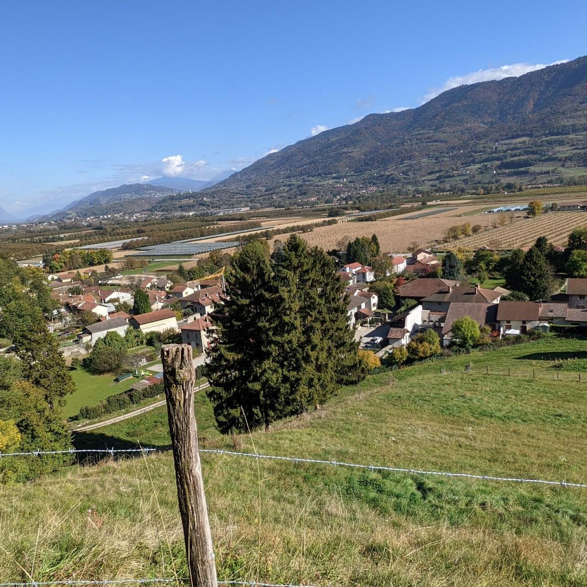
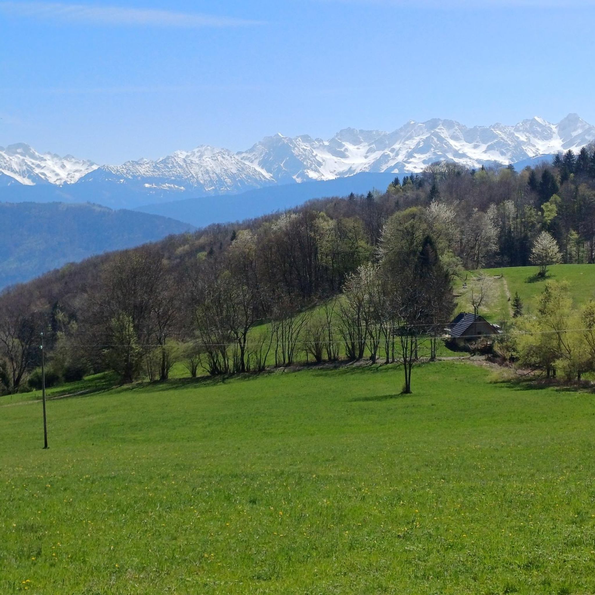
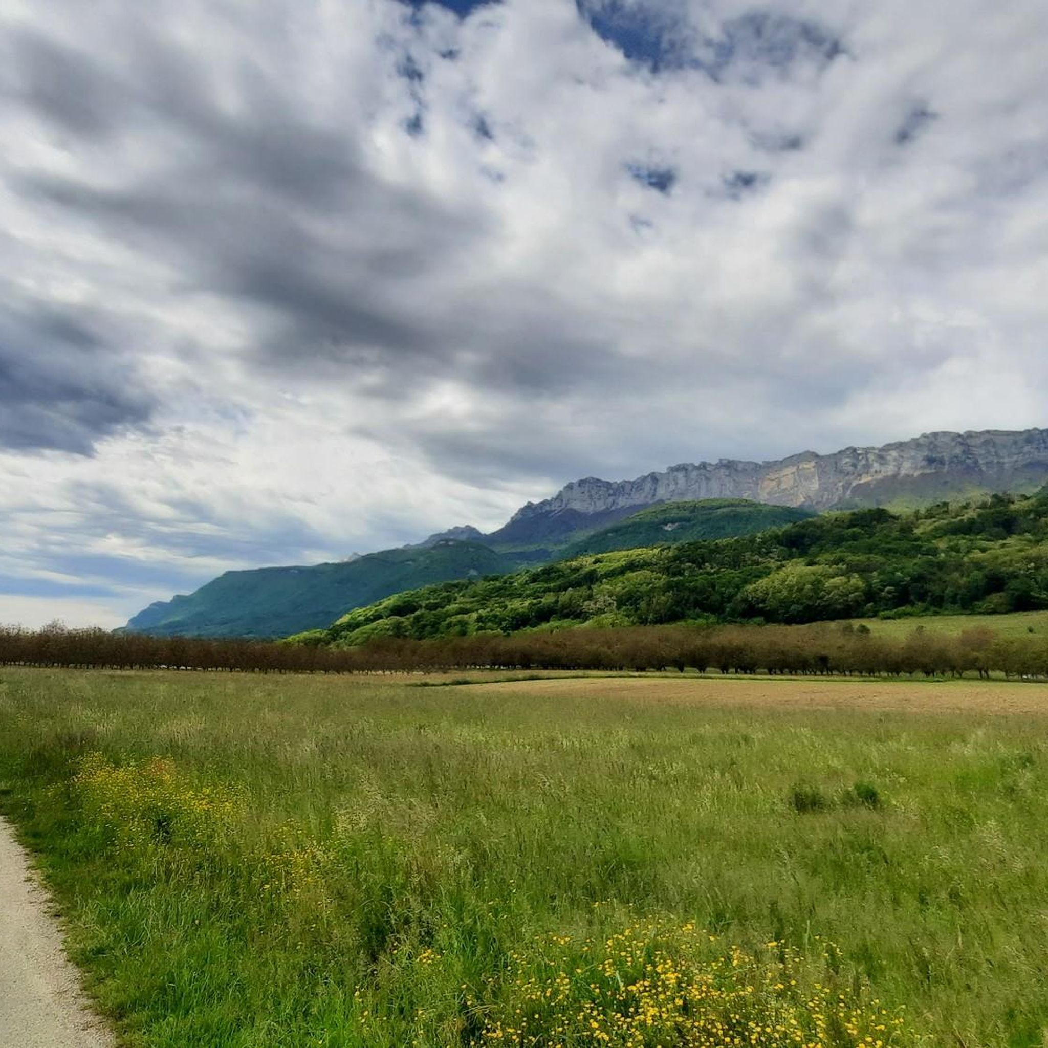
Mountaineering routes around La Buissière are situated in the Isère department of the Auvergne-Rhône-Alpes region, offering access to significant alpine landscapes. The area is characterized by its proximity to the majestic Alpine Massif, including the Chartreuse Regional Natural Park and the Massif des Bauges. Prominent natural features like Mont Granier, located just 8 km away, define the mountainous terrain suitable for alpine pursuits. This region provides diverse opportunities for mountain exploration and approaches to climbing routes.
Best mountaineering routes around…
Last updated: July 15, 2026
4.0
(4)
18
hikers
10.8km
03:43
570m
570m
Moderate mountaineering route. Good fitness required. Easily-accessible paths. Suitable for all skill levels.
10
hikers
9.98km
05:12
860m
860m
Hard mountaineering route. Very good fitness required. Sure-footedness, sturdy shoes and alpine experience required.

Sign up for free
6
hikers
7.29km
03:57
740m
740m
Moderate mountaineering route. Good fitness required. Mostly accessible paths. Sure-footedness required.
5.0
(1)
6
hikers
5.40km
02:36
390m
390m
Moderate mountaineering route. Good fitness required. Mostly accessible paths. Sure-footedness required.
4
hikers
7.31km
02:58
410m
410m
Hard mountaineering route. Good fitness required. Sure-footedness, sturdy shoes and alpine experience required.
Our route recommendations are based on thousands of hikes, rides, and runs completed by other people on komoot.
Start today with a free account
Your next adventure awaits.
Login or Signup
Tips from the Community

Proper climb from Chambery, beautiful views of the Chartreuse.
0
0

The cross of the Aulp du seuil is located at 1825m above the cirque and marks the entrance to the high plateaus.
0
0

Warning: The climb from the east side is extremely steep! An average gradient of around 10% over 9-10 km.
2
0

Beautiful pass. Relatively steep climbs from the valley. There are rest stops at the top.
0
0

Very good and quite accessible as a pass. Be careful of overtaking cars.
1
2

Great hike! Make sure you have good shoes with crampons because some slopes are a bit slippery. Magnificent view at the top.
0
0

From Saint Pierre you pass through Entrement le veux and arrive at the top of Col de Granier, if you take the first right towards Col de Marcieu until Saint Hillaire de Touvet and descend into the valley to Grenoble, very calm, rolling and bucolic
0
0

Only for people with surefootedness and climbing experience. You have to climb a bit on the ascent and descent. The ascent is not recommended when it is wet.
1
0
Frequently Asked Questions
How many mountaineering routes are available around La Buissière?
There are 9 distinct mountaineering routes around La Buissière, offering a variety of experiences within the Alpine Massif, Chartreuse Regional Natural Park, and Massif des Bauges.
What are the difficulty levels of the mountaineering routes?
The routes around La Buissière cater to different skill levels. You'll find 4 moderate routes and 5 difficult routes, ensuring options for both experienced mountaineers and those looking for a significant challenge.
Are there any family-friendly mountaineering options?
While most routes are moderate to difficult, some of the moderate options might be suitable for families with older children who are accustomed to mountain hiking. For example, the Pas de Belles Ombres loop from Sainte-Marie-du-Mont is a moderate route that covers 5.3 km and takes about 2 hours 35 minutes, offering a shorter, less strenuous option.
Can I bring my dog on the mountaineering trails?
The Chartreuse Regional Natural Park and Massif des Bauges, which surround La Buissière, generally welcome dogs on trails, often requiring them to be on a leash to protect wildlife. It's always best to check specific regulations for each route or protected area before you go.
What kind of landmarks or natural features can I expect to see?
The region is rich in natural beauty. You can explore stunning mountain passes like Granier Pass, Bellefont Pass, and Col du Barrioz. There's also the beautiful Lake Saint-André nearby, and the impressive Saint-Même Cirque Waterfalls for a scenic detour.
Are there any circular mountaineering routes?
Yes, many of the routes are circular, allowing you to start and end at the same point. Examples include the challenging Mont Granier – Col de l'Alpette loop from Parking de la Plagne, the moderate Crêt Luisard (1,803 m) – Crêt du Luisard - 1803m loop from Le Grand Plan, and The Miracle Arch loop from Saint-Bernard.
What is the best time of year for mountaineering in La Buissière?
The best time for mountaineering in La Buissière is typically from late spring to early autumn (May to October) when the weather is more stable and trails are clear of snow. Winter mountaineering is possible but requires specialized equipment and experience due to snow and ice conditions.
Is public transport available to reach the trailheads?
La Buissière is situated near Grenoble, a major alpine hub. While direct public transport to specific remote trailheads might be limited, local bus services connect villages within the region. Planning ahead and checking local transport schedules is recommended, especially for routes starting further from the main towns.
Where can I find parking for the mountaineering routes?
Many trailheads, particularly those for popular routes like the Mont Granier – Col de l'Alpette loop, often have designated parking areas. It's advisable to check the starting point of your chosen route for specific parking information, as options can vary.
Do I need any permits for mountaineering in this area?
Generally, permits are not required for hiking and mountaineering on established trails within the Chartreuse Regional Natural Park and Massif des Bauges. However, if you plan to engage in specific climbing activities or enter sensitive ecological zones, it's always wise to check with local park authorities for any specific regulations or restrictions.
What do other mountaineers enjoy most about the routes in La Buissière?
The routes in La Buissière are highly rated by the komoot community, with an average score of 4.6 stars from more than 10 reviews. Mountaineers often praise the diverse terrain, the challenging ascents, and the stunning views of the Alpine Massif, particularly around Mont Granier and the various peaks like Crêt du Poulet and Crêt Luisard.
Are there any shorter, moderate routes for a quicker outing?
Yes, if you're looking for a moderate route that's not too long, consider the L'Alpette – Passage de l'Aulp du Seuil loop from Saint-Bernard. This route is 7.3 km long and typically takes about 3 hours 57 minutes to complete, offering a good balance of challenge and duration.
Most popular routes around La Buissière
Most popular attractions around La Buissière

Get inspired with the komoot mobile app


Explore more
Browse the best Mountain Hikes & Routes in other regions.
