The best cycling routes around Chapareillan
4.5
(710)
13,768
riders
16
rides
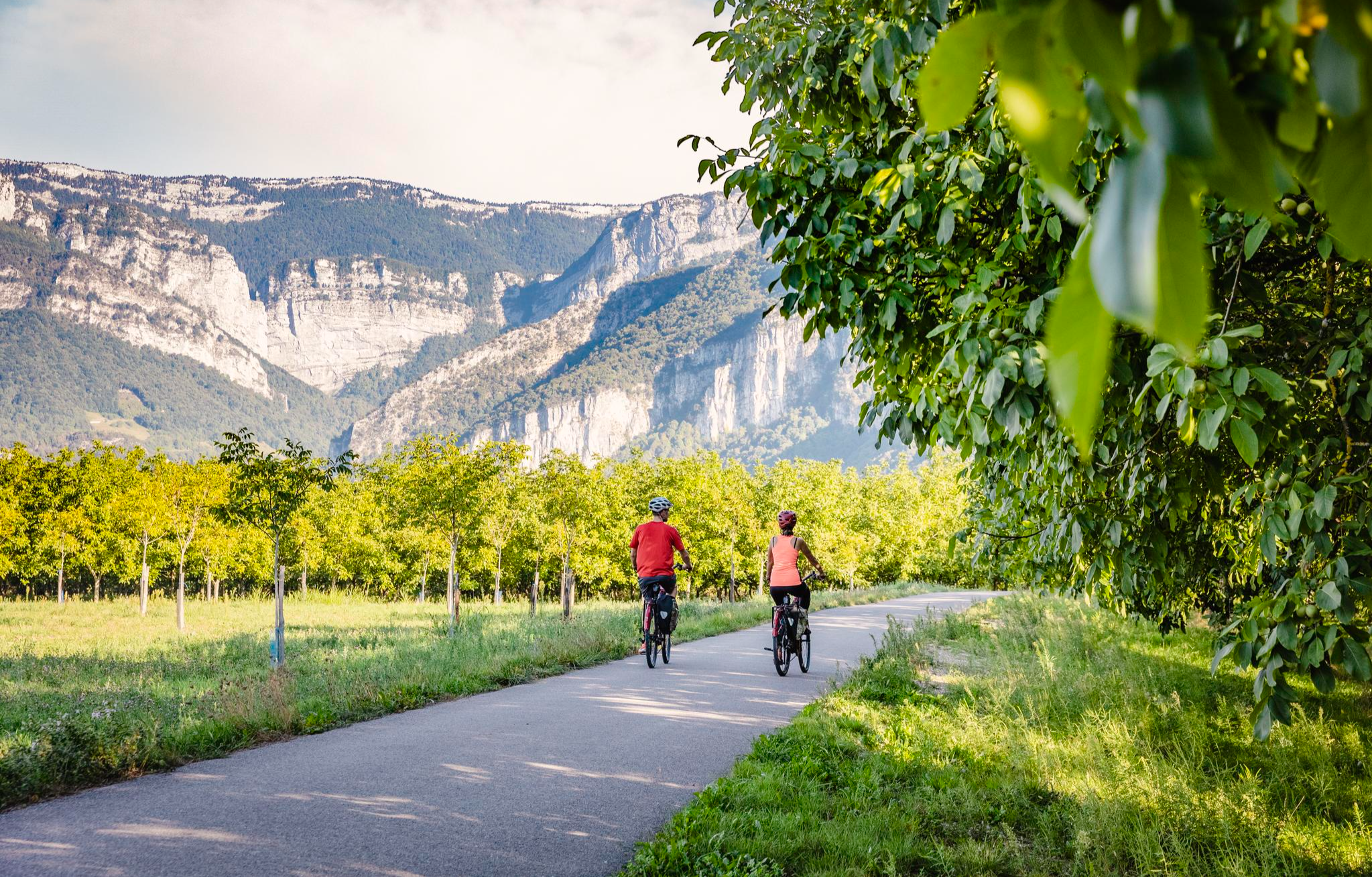
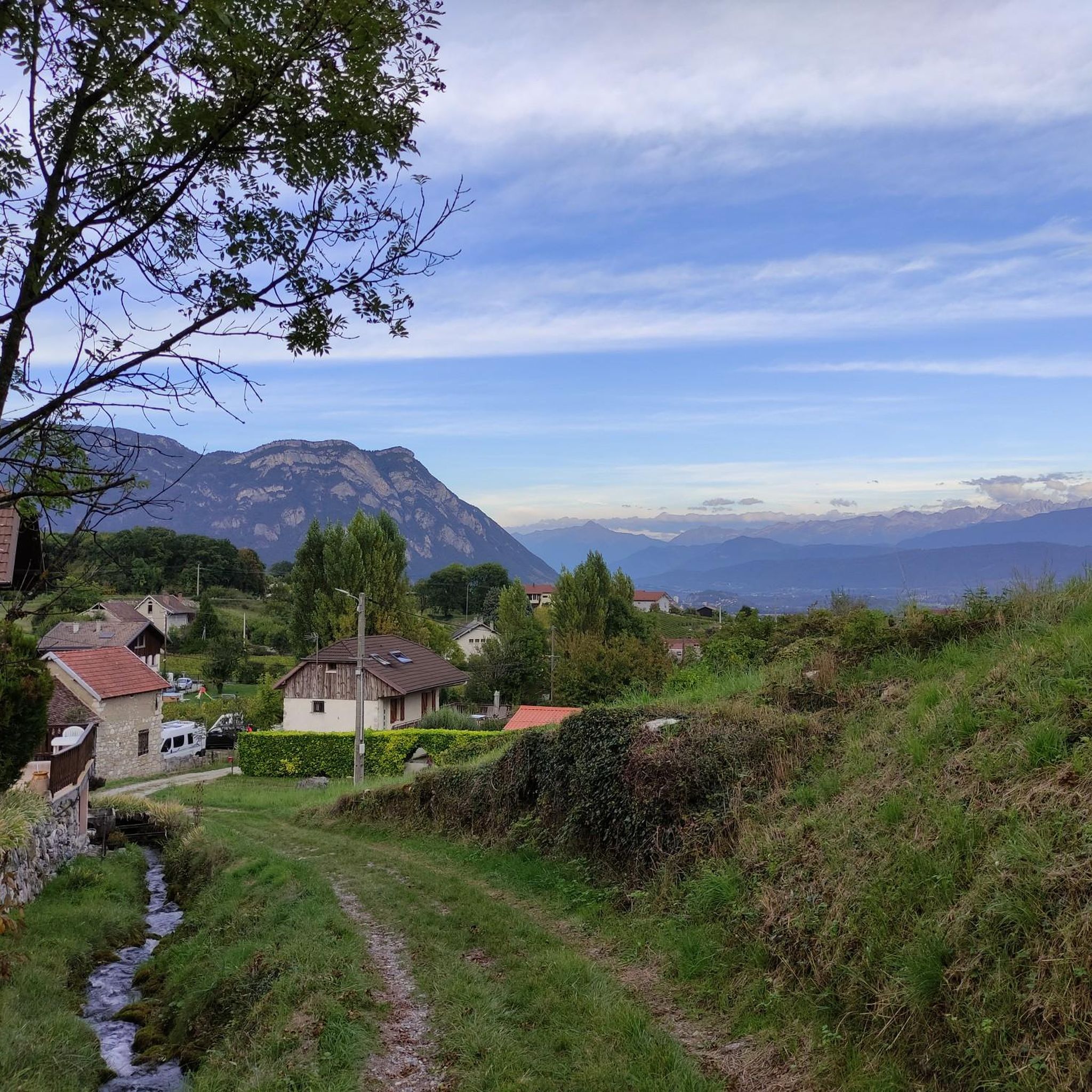
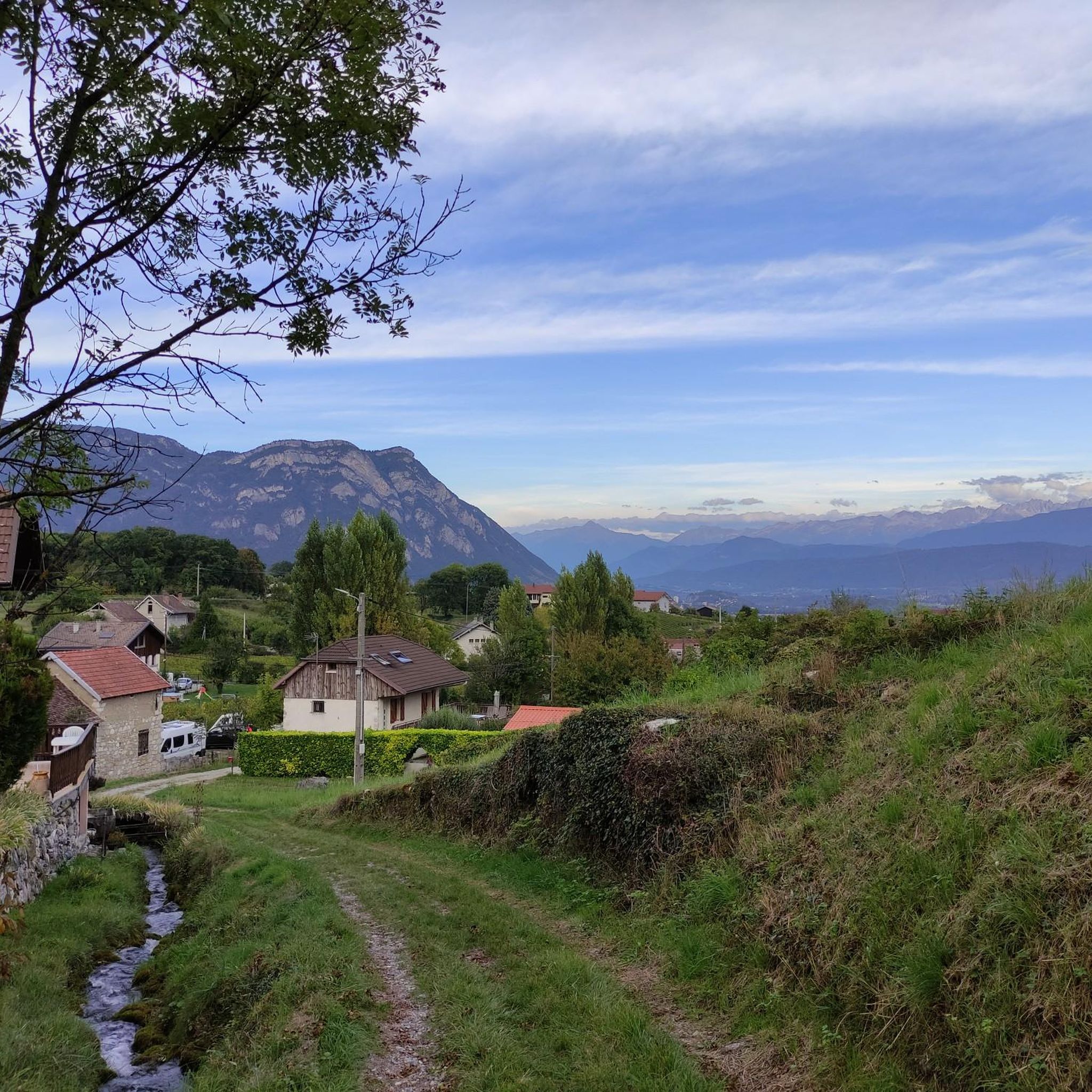
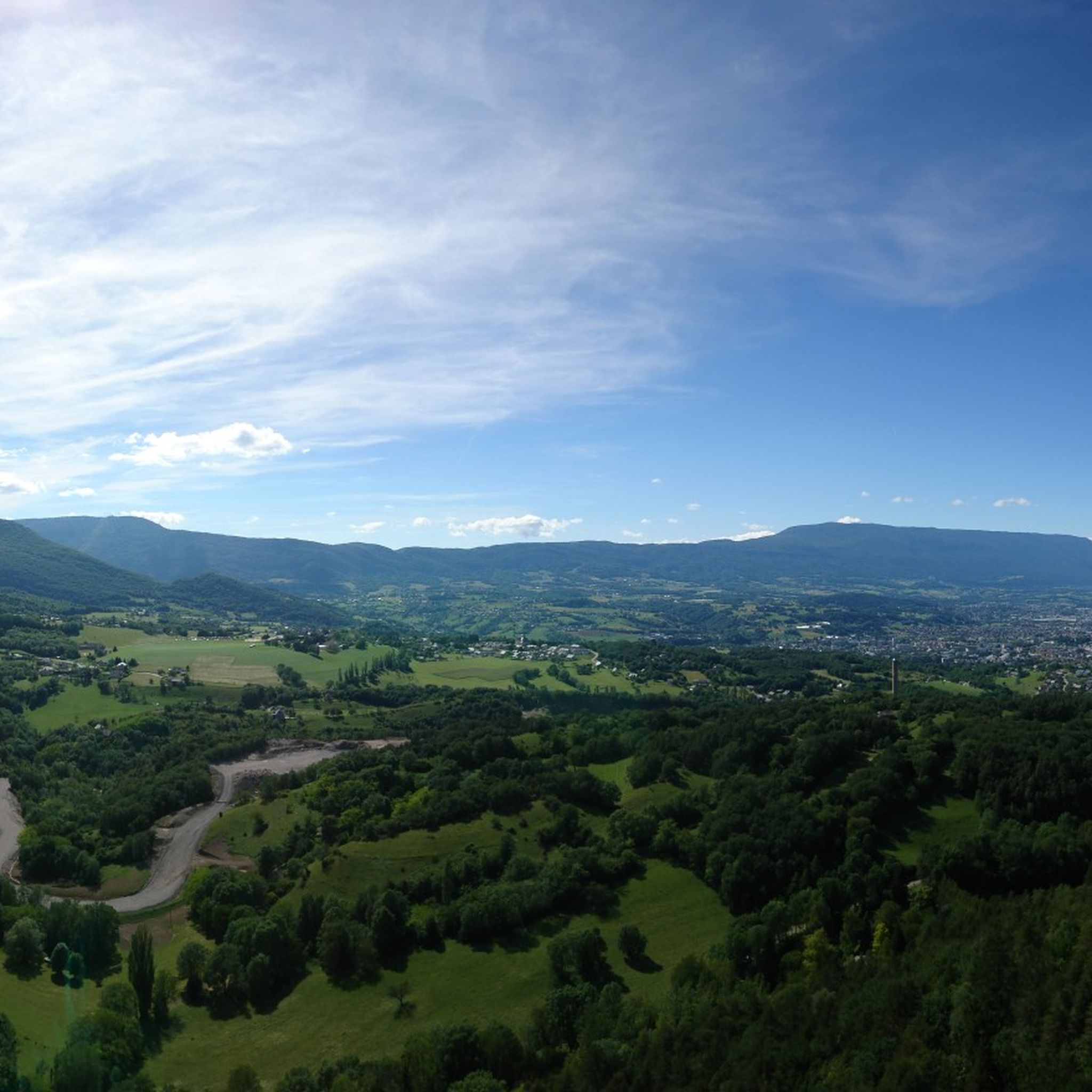
Touring cycling routes around Chapareillan offer varied terrain at the northern end of the Grésivaudan valley, nestled beneath Mont Granier and the Chartreuse Massif. The region features diverse landscapes, from the banks of the Isère River at 244 meters to the foothills of Mont Granier. Cyclists can navigate through dramatic limestone cliffs, dense forests, and verdant valleys, with vineyards also contributing to the local scenery. This geographical setting provides a range of elevation changes suitable for different touring cycling experiences.
…Last updated: August 25, 2026
4.6
(56)
612
riders
31.8km
01:52
190m
190m
Moderate bike ride. Good fitness required. Mostly paved surfaces. Suitable for all skill levels.
4.2
(5)
162
riders
95.6km
06:32
1,560m
1,560m
Hard bike ride. Very good fitness required. Mostly paved surfaces. Suitable for all skill levels.

Sign up for free
4.6
(16)
286
riders
46.3km
03:15
910m
910m
Hard bike ride. Very good fitness required. Mostly paved surfaces. Suitable for all skill levels.
4.8
(6)
57
riders
36.1km
02:09
250m
260m
Moderate bike ride. Good fitness required. Mostly paved surfaces. Suitable for all skill levels.
13
riders
48.5km
04:08
1,690m
1,690m
Hard bike ride. Very good fitness required. Mostly paved surfaces. Suitable for all skill levels.
Get access to more routes and recommendations from other explorers.
Sign up for free
Already have an account?
Our route recommendations are based on thousands of hikes, rides, and runs completed by other people on komoot.
Start today with a free account
Your next adventure awaits.
Login or Signup
Other adventures around Chapareillan

Tips from the Community

Beautiful cycle path from Bourget de Lac to Chambery.
1
0
Proper climb from Chambery, beautiful views of the Chartreuse.
0
0

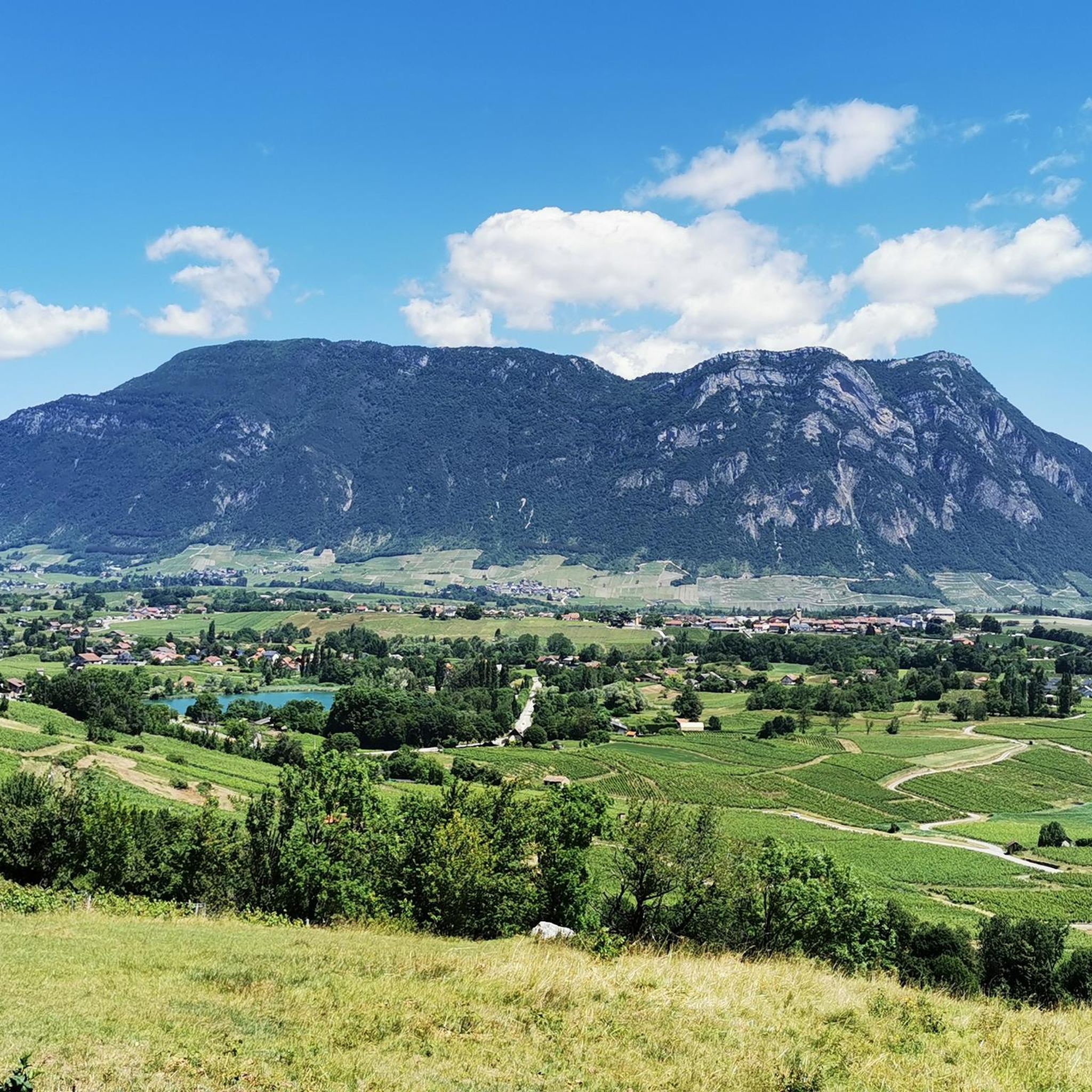
The road borders the vineyards of Myans. A superb setting in the heart of the Savoie vineyard, with impressive views of Mont Granier.
0
0

True location of the Pass, arrival marker and sign at the summit.
1
0

It's a must-see place with a magnificent view of Lake Bourget.
1
0


A very quiet and pleasant road. On the Chambéry side, a good part is in the shade, the slope of the main road is rather constant around 7-8%. On the Novalaise side, the mineral aspect with the cliff is more present in the middle of the climb. This side is quite steep with kilometers at 8-9%. On each side, 1 belvedere offers a breathtaking view of Lake Aiguebelette (approx. 2 km from the summit) and on the other side of Chambéry, the Bauges, Belledonne, the Chartreuse (500 m from the summit). The summit is in the forest.
1
0

Warning: The climb from the east side is extremely steep! An average gradient of around 10% over 9-10 km.
2
0
Frequently Asked Questions
What kind of terrain can I expect on touring cycling routes around Chapareillan?
Chapareillan offers a diverse landscape for touring cyclists. You'll find routes ranging from the banks of the Isère River at lower elevations to the foothills of Mont Granier and the Chartreuse Massif. Expect varied terrain with dramatic limestone cliffs, dense forests, and verdant valleys. The region also features picturesque vineyards, particularly near the Abymes sector, providing a mix of challenging ascents and more gentle rides.
Are there any easy touring cycling routes suitable for beginners in Chapareillan?
Yes, Chapareillan offers several easier options. While many routes involve elevation changes, there are at least 3 routes classified as easy. These typically follow flatter sections along the Isère River valley or through vineyards, providing a more relaxed cycling experience.
Can I find circular touring cycling routes in the Chapareillan area?
Many of the touring cycling routes around Chapareillan are designed as loops, allowing you to start and finish in the same location. For example, the popular Lake Saint-André – Vignes de Myans loop from Chapareillan is a moderate 20-mile route that brings you back to your starting point.
What natural attractions or landmarks can I see along the touring cycling routes?
The region is rich in natural beauty. You can encounter stunning features like the Saint-Même Cirque Waterfalls and the Gouille Waterfall. The serene Lake Saint-André is also a prominent feature on several routes, offering scenic views. For those seeking mountain vistas, passes like Granier Pass and Marocaz Pass provide expansive panoramas.
Are there any challenging touring cycling routes for experienced riders?
Absolutely. Chapareillan is an excellent destination for experienced touring cyclists seeking a challenge. Routes like the Lake Saint-André – Épine Pass loop from Chapareillan, a difficult 59.4-mile path, feature significant elevation gain. Another demanding option is the Granier Pass – Granier Pass loop from Chapareillan, which offers a substantial climb and rewarding mountain vistas through the foothills of Mont Granier.
What is the best time of year to go touring cycling in Chapareillan?
The mountainous environment of Chapareillan suggests that spring, summer, and early autumn are generally the best seasons for touring cycling. During these months, the weather is typically more favorable, and mountain passes are clear of snow, allowing access to a wider range of routes. Always check local weather conditions before heading out, especially for higher elevation routes.
Are there any family-friendly touring cycling routes in Chapareillan?
While specific family-friendly routes are not detailed, the presence of easier routes and paths along the Isère River valley suggests options suitable for families. These routes often have less elevation gain and can be more accessible for younger riders or those preferring a leisurely pace. Look for routes classified as 'easy' for the most suitable options.
Where can I find parking near the touring cycling trailheads in Chapareillan?
Parking availability can vary depending on the specific trailhead. Chapareillan, being a smaller town, typically offers public parking areas. For routes starting directly from the town, you'll likely find parking within the village. For routes that venture further out, it's advisable to check the specific route details on komoot, as users often share information about parking spots near trailheads.
What do other touring cyclists enjoy most about cycling in Chapareillan?
The touring cycling routes in Chapareillan are highly rated by the komoot community, with an average score of 4.6 stars from over 200 reviews. Cyclists often praise the varied terrain, from gentle vineyard rides to challenging mountain ascents, and the breathtaking panoramic views of the Chartreuse Massif and Isère River valley. The diverse landscapes, including limestone cliffs and dense forests, also contribute to a highly enjoyable experience.
Are there any services like cafes or accommodation along the touring cycling routes?
Chapareillan and its surrounding villages offer various services for cyclists. While specific cafes or accommodations directly on every route are not guaranteed, you will find options in the towns and villages you pass through. It's a good idea to plan your route with potential stops in mind, especially for longer tours, to ensure access to refreshments and rest points.
Can I access touring cycling routes in Chapareillan using public transport?
Chapareillan is situated in the Isère department, which has a regional public transport network. While direct access to every trailhead by public transport might be limited, it is often possible to reach Chapareillan itself or nearby larger towns via bus services. From there, you can start your cycling tour. Checking local bus schedules and routes in advance is recommended.
Are there any less-known or 'hidden gem' touring cycling routes in the area?
While the main routes are well-loved, the broader Isère region, including the Chartreuse Massif foothills, offers a vast network of roads and paths. Exploring routes that venture into the smaller valleys or connect less-frequented passes, such as the Marocaz Pass – Lake Saint-André loop from Chapareillan, can lead to unique discoveries and quieter cycling experiences away from the more popular trails.
Most popular routes around Chapareillan
Most popular attractions around Chapareillan

Get inspired with the komoot mobile app


Explore more
Browse the best Cycling routes in other regions.
