The best mountain hikes around Saint-Bernard
4.8
(16)
139
hikers
15
hikes
Mountaineering routes around Saint-Bernard are characterized by rugged terrain, high mountain passes, and significant elevation changes, offering a challenging alpine environment. The region, nestled in the European Alps, features towering mountain peaks, alpine lakes, and dense woodlands. Its diverse landscapes provide a varied setting for mountaineering, with passes often reaching between 2,200 and 2,400 meters.
Best mountaineering routes around Saint-Bernard
- The most popular mountaineering route is Le pas de l'œil – Dent de Crolles loop from Saint-Pancrasse, a 4.7…
Last updated: October 4, 2026
4.8
(5)
35
hikers
Hard mountaineering route. Good fitness required. Sure-footedness, sturdy shoes and alpine experience required.
5.0
(1)
20
hikers
6.55km
03:47
630m
620m
Hard mountaineering route. Good fitness required. Sure-footedness, sturdy shoes and alpine experience required.

10
hikers
9.98km
05:12
860m
860m
Hard mountaineering route. Very good fitness required. Sure-footedness, sturdy shoes and alpine experience required.
11
hikers
12.2km
04:59
910m
910m
Hard mountaineering route. Very good fitness required. Mostly accessible paths. Sure-footedness required.
6
hikers
Moderate mountaineering route. Good fitness required. Easily-accessible paths. Suitable for all skill levels.
Get access to more routes and recommendations from other explorers.
Already have an account?
Our route recommendations are based on thousands of hikes, rides, and runs completed by other people on komoot.
Start today with a free account
Your next adventure awaits.

Other adventures around Saint-Bernard

Tips from the Community

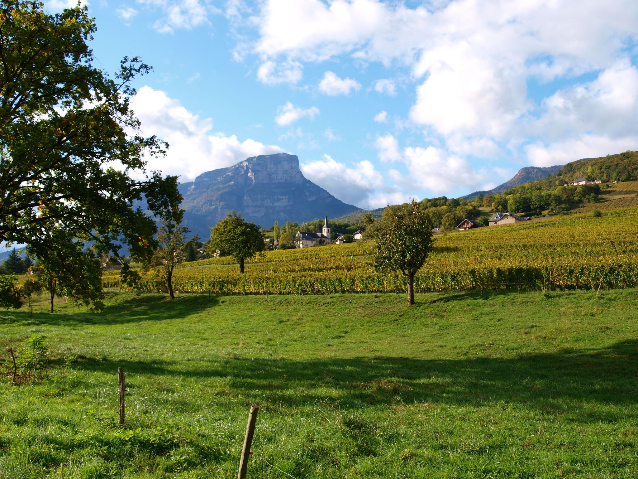
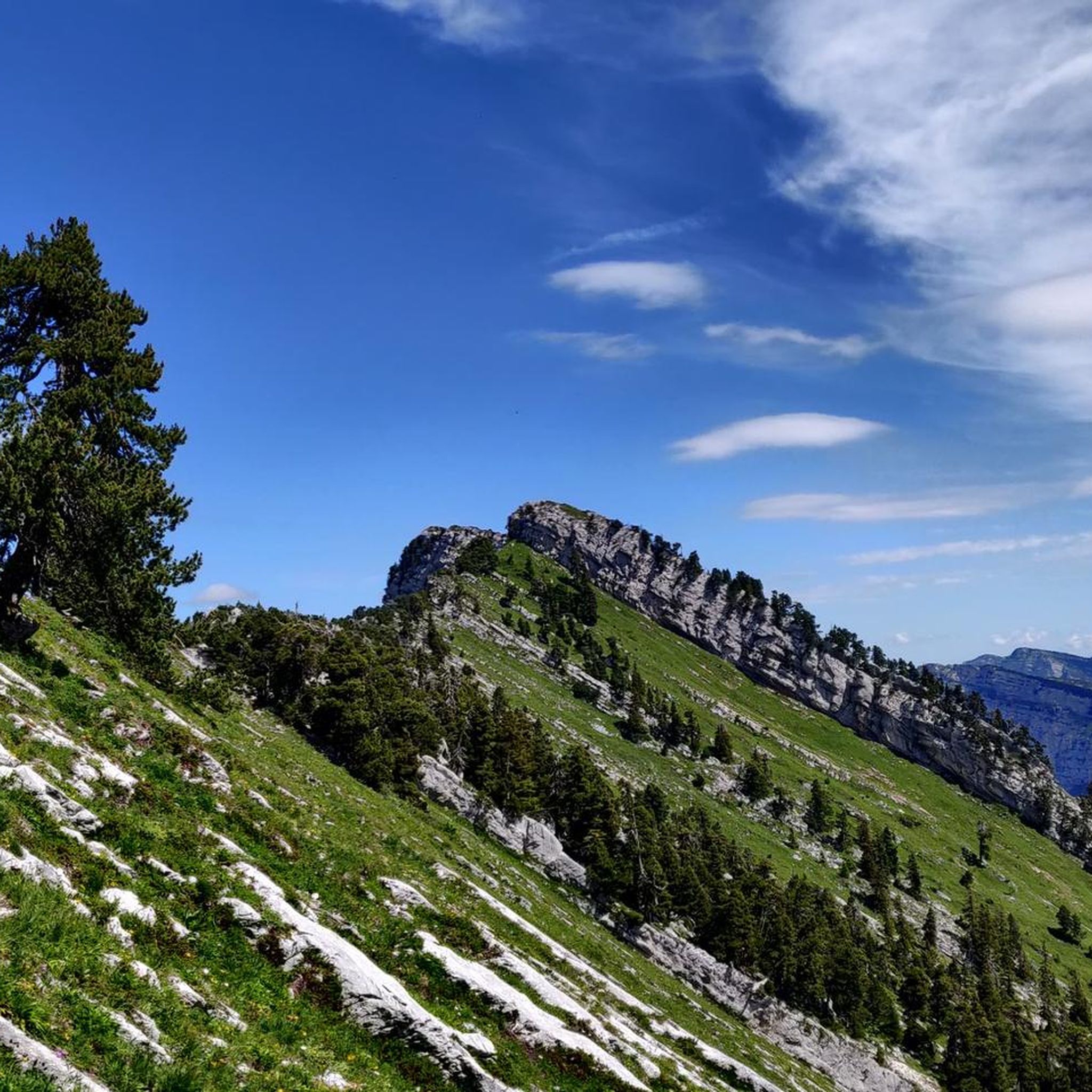
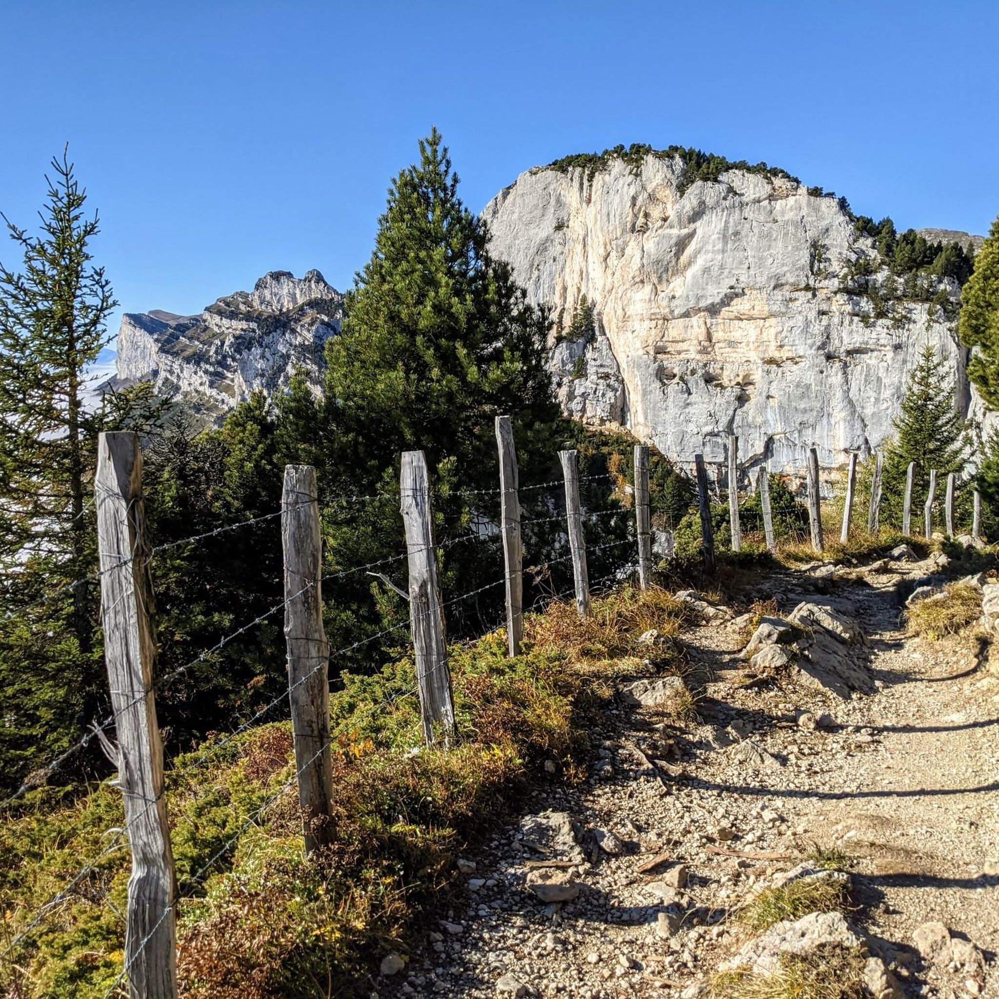
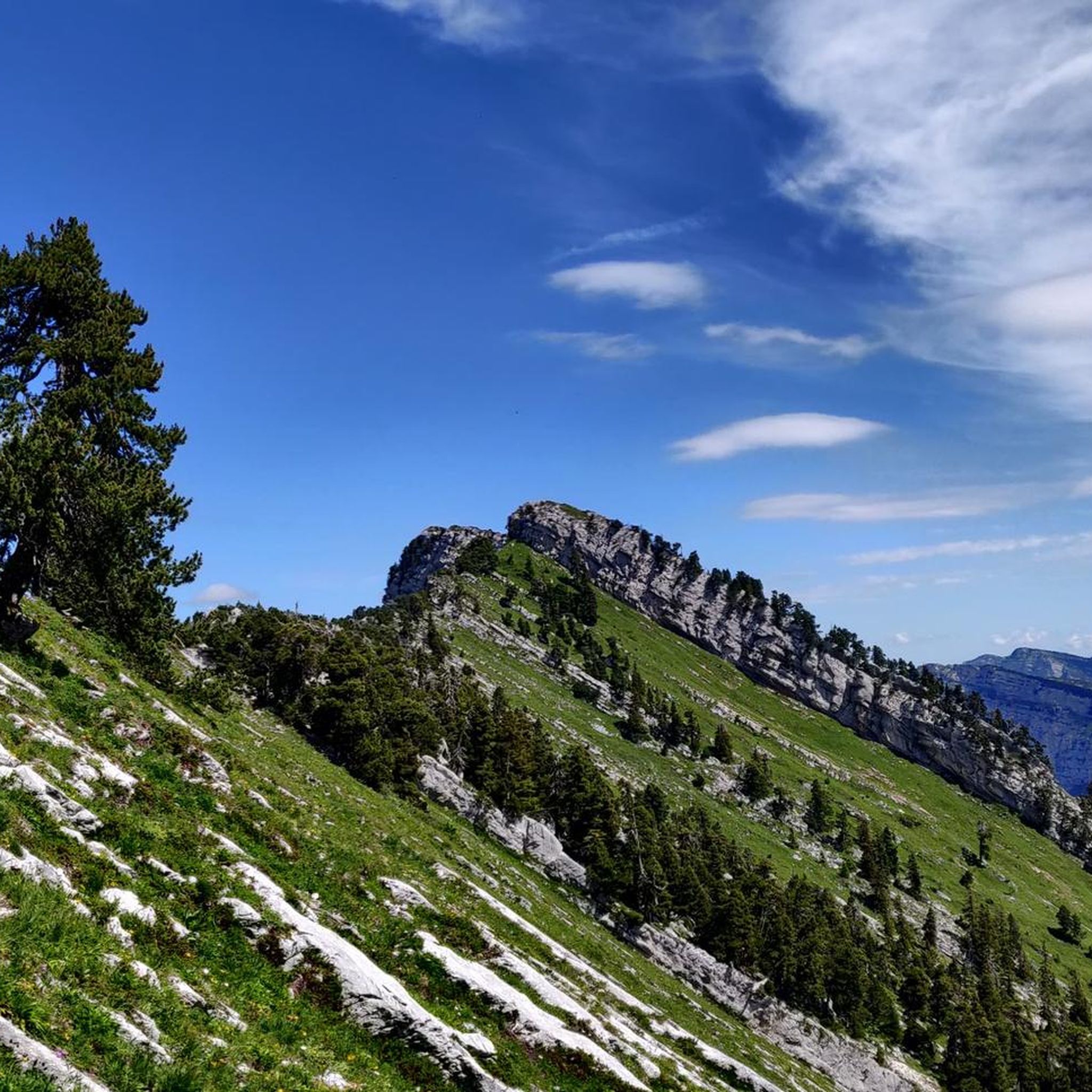
The Dent de Crolles, at 2,062 meters, is one of the best-known peaks in the Chartreuse. The striking limestone mountain towers high above the surrounding area and offers, on a clear day, a magnificent view of the Alps and the Grenoble valley. The hike there leads through varied mountain pastures, rocky terrain, and impressive limestone landscapes. A strenuous climb, but the views and the special atmosphere of the Chartreuse make it absolutely worthwhile.
0
0
The Dent de Crolles, at 2,062 meters, is one of the best-known peaks in the Chartreuse. This distinctive limestone mountain towers high above the surrounding area and offers, on a clear day, a magnificent view over the Alps and the Grenoble valley. The hike there leads through varied mountain meadows, rocky terrain, and impressive limestone landscapes. A strenuous climb, but the views and the special atmosphere of the Chartreuse make it absolutely worthwhile.
0
0

Divided village, Savoie and Isère, as well as churches and restaurants.
2
0

I love this village. It's an ideal starting point for a hike to the Cirque de Saint-Même.
0
0

The cross of the Aulp du seuil is located at 1825m above the cirque and marks the entrance to the high plateaus.
0
0


Exceptional site at the foot of the Dent de Crolle with access via a wild forest road
2
0

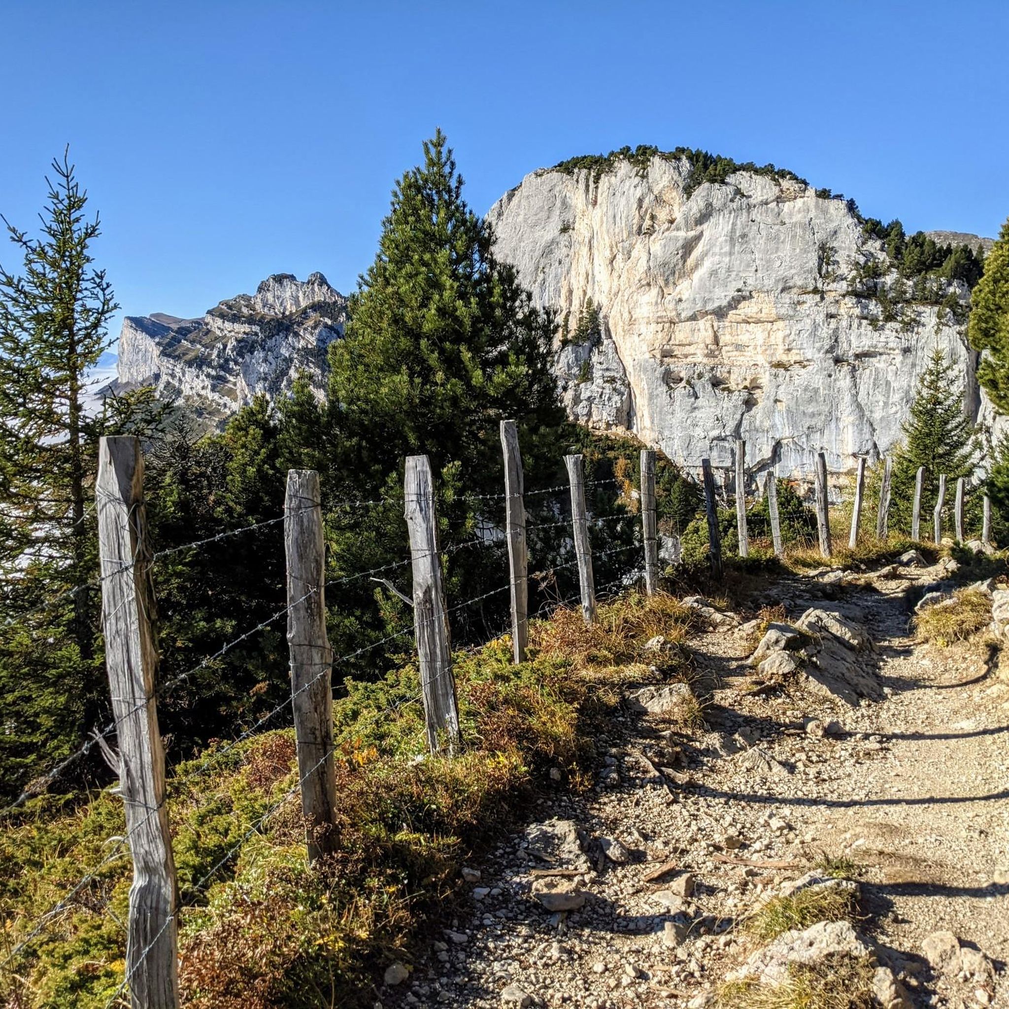
Beautiful rock formation. Here is one of the steepest sections
0
0
Frequently Asked Questions
How many mountaineering routes are available in Saint-Bernard?
The Saint-Bernard region offers over 20 mountaineering routes. These routes traverse rugged terrain, high mountain passes, and feature significant elevation changes, providing a diverse alpine experience for enthusiasts.
What is the best time of year for mountaineering in Saint-Bernard?
The prime time for mountaineering in Saint-Bernard is typically during the warmer months, from late spring to early autumn, when trails are clear of snow and weather conditions are more stable. However, the region is also a paradise for ski mountaineering in winter, offering numerous tours for powder skiing in wild, unspoiled locations.
Are there any easy mountaineering routes in Saint-Bernard?
While Saint-Bernard is known for its challenging alpine environment, all 21 mountaineering routes listed are either moderate or difficult. There are no easy routes specifically categorized for mountaineering in this guide, emphasizing the region's rugged and demanding nature.
What makes mountaineering in Saint-Bernard unique?
Mountaineering in Saint-Bernard is unique due to its dramatic high mountain passes, such as the Grand Saint Bernard Pass, and its location at the border of Switzerland and Italy. The region boasts over 40 climbing sites and features diverse landscapes including alpine lakes, dense woodlands, and towering peaks, with passes often reaching between 2,200 and 2,400 meters.
Are there challenging mountaineering routes for experienced climbers?
Yes, Saint-Bernard is well-suited for experienced mountaineers, with 11 of the 21 routes rated as difficult. An example is the Mont Granier – Col de l'Alpette loop from Parking de la Plagne, a challenging 11.2 km path with significant elevation gain.
Are there circular mountaineering routes in the Saint-Bernard region?
Yes, many mountaineering routes in Saint-Bernard are designed as loops, allowing you to start and finish at the same point. For instance, you can explore the Le pas de l'œil – Dent de Crolles loop from Saint-Pancrasse, which is a 7.6 km difficult trail offering ascents towards notable peaks.
What kind of natural features and landmarks can I expect to see along the routes?
The routes in Saint-Bernard offer breathtaking natural features, including high mountain passes, alpine lakes, and dramatic rock formations. You might encounter notable landmarks like the Col du Cucheron or the Col du Coq. The region also features impressive gorges such as the Gorges du Guiers Mort.
Are there any routes that include a via ferrata?
Yes, for those seeking a more technical challenge, the Via Ferrata de Roche Veyrand loop from Saint-Pierre-d'Entremont is a 5.2 km trail that leads through dramatic rock formations, offering a unique mountaineering experience.
What do other mountaineers enjoy the most about the Saint-Bernard region?
The Saint-Bernard region is highly rated by the komoot community, with an average score of 4.7 stars from over 20 reviews. Mountaineers often praise the challenging alpine environment, the stunning panoramic views from high passes and peaks, and the diverse landscapes that make each route a unique adventure.
Are there any routes that offer views of the Dent de Crolles?
Yes, the Dent de Crolles is a prominent peak in the region. You can experience routes like the Dent de Crolles – Le pas de l'œil loop from Saint-Pancrasse, which provides exceptional views and a challenging ascent towards this iconic summit.
Can I find routes that explore the Chartreuse massif?
The Saint-Bernard region is close to the Chartreuse massif, and some routes offer similar terrain and views. While specific routes within the Chartreuse Regional Natural Park are not listed in this guide, the general character of the mountaineering here, with significant elevation changes and panoramic views, aligns with the experiences found in that area.
Are there any routes that pass by interesting man-made structures or historical sites?
Yes, some routes may lead you past interesting man-made structures. For example, near the gorges, you might encounter the Notre-Dame du Frou Statue or the Old Saint-Martin Bridge, adding a cultural dimension to your mountaineering adventure.
Most popular routes around Saint-Bernard
Most popular attractions around Saint-Bernard

Get inspired with the komoot mobile app


Explore more
Browse the best Mountain Hikes & Routes in other regions.
