The best mountain hikes around Saint-Hilaire
4.7
(13)
161
hikers
14
hikes
Mountaineering routes around Saint-Hilaire are primarily found within the Chartreuse Massif, characterized by its limestone peaks, deep valleys, and dense forests. The terrain features significant elevation changes, offering challenging ascents and panoramic views of the surrounding French Alps. This region is known for its rugged natural beauty, with routes often traversing rocky paths and alpine meadows.
Best mountaineering routes around Saint-Hilaire
- The most popular mountaineering route is Le pas de l'œil – Dent de Crolles loop from Saint-Pancrasse, a…
Last updated: October 4, 2026
4.3
(3)
41
hikers
7.31km
04:05
690m
690m
Hard mountaineering route. Good fitness required. Sure-footedness, sturdy shoes and alpine experience required.
5.0
(1)
14
hikers
11.6km
03:56
510m
510m
Moderate mountaineering route. Good fitness required. Mostly accessible paths. Sure-footedness required.

5.0
(1)
20
hikers
6.55km
03:47
630m
620m
Hard mountaineering route. Good fitness required. Sure-footedness, sturdy shoes and alpine experience required.
10
hikers
9.98km
05:12
860m
860m
Hard mountaineering route. Very good fitness required. Sure-footedness, sturdy shoes and alpine experience required.
11
hikers
12.2km
04:59
910m
910m
Hard mountaineering route. Very good fitness required. Mostly accessible paths. Sure-footedness required.
Get access to more routes and recommendations from other explorers.
Already have an account?
Our route recommendations are based on thousands of hikes, rides, and runs completed by other people on komoot.
Start today with a free account
Your next adventure awaits.
Popular around Saint-Hilaire
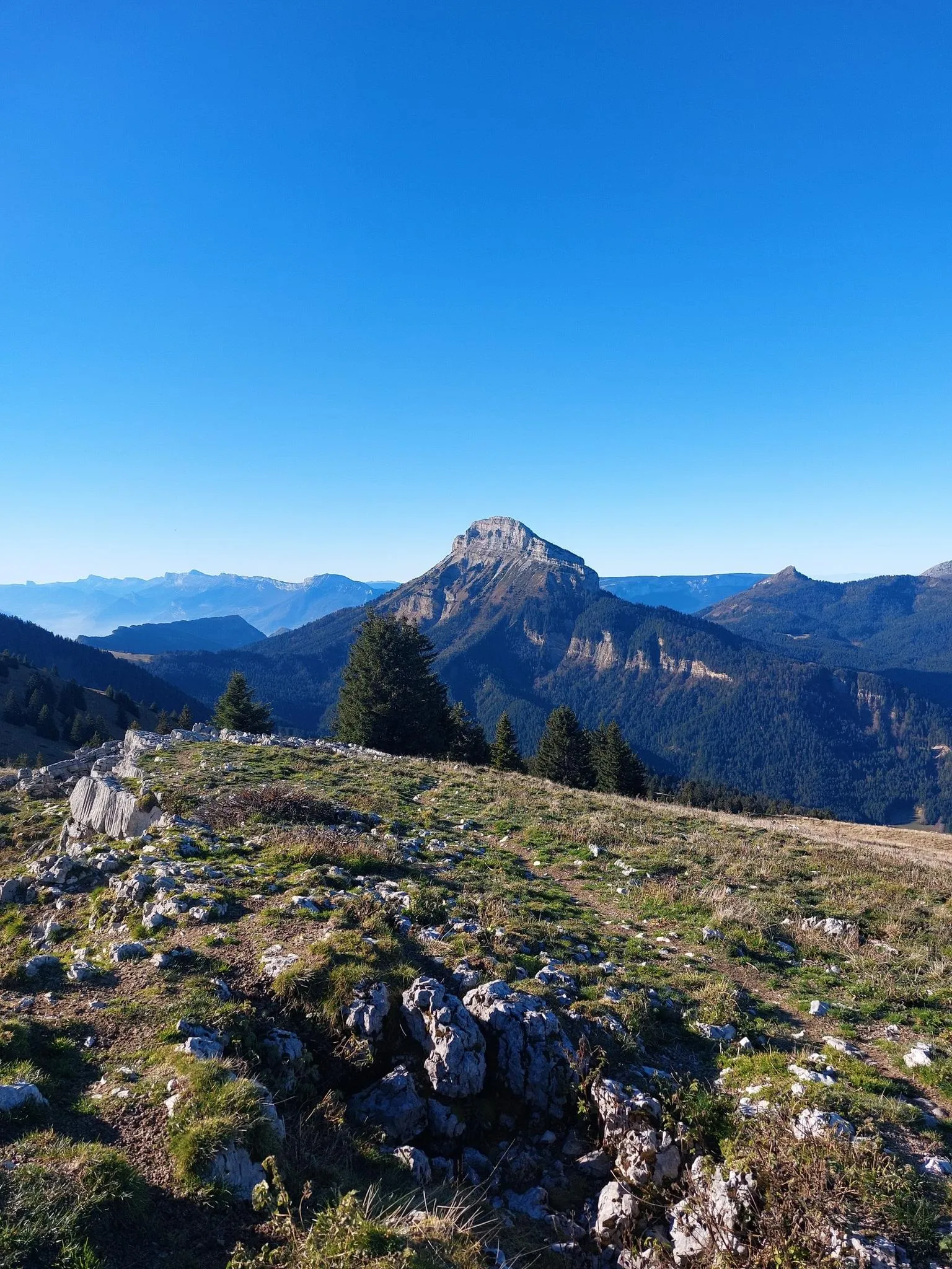
Summits, plateaus and panoramas — 20 trail outings in Chartreuse
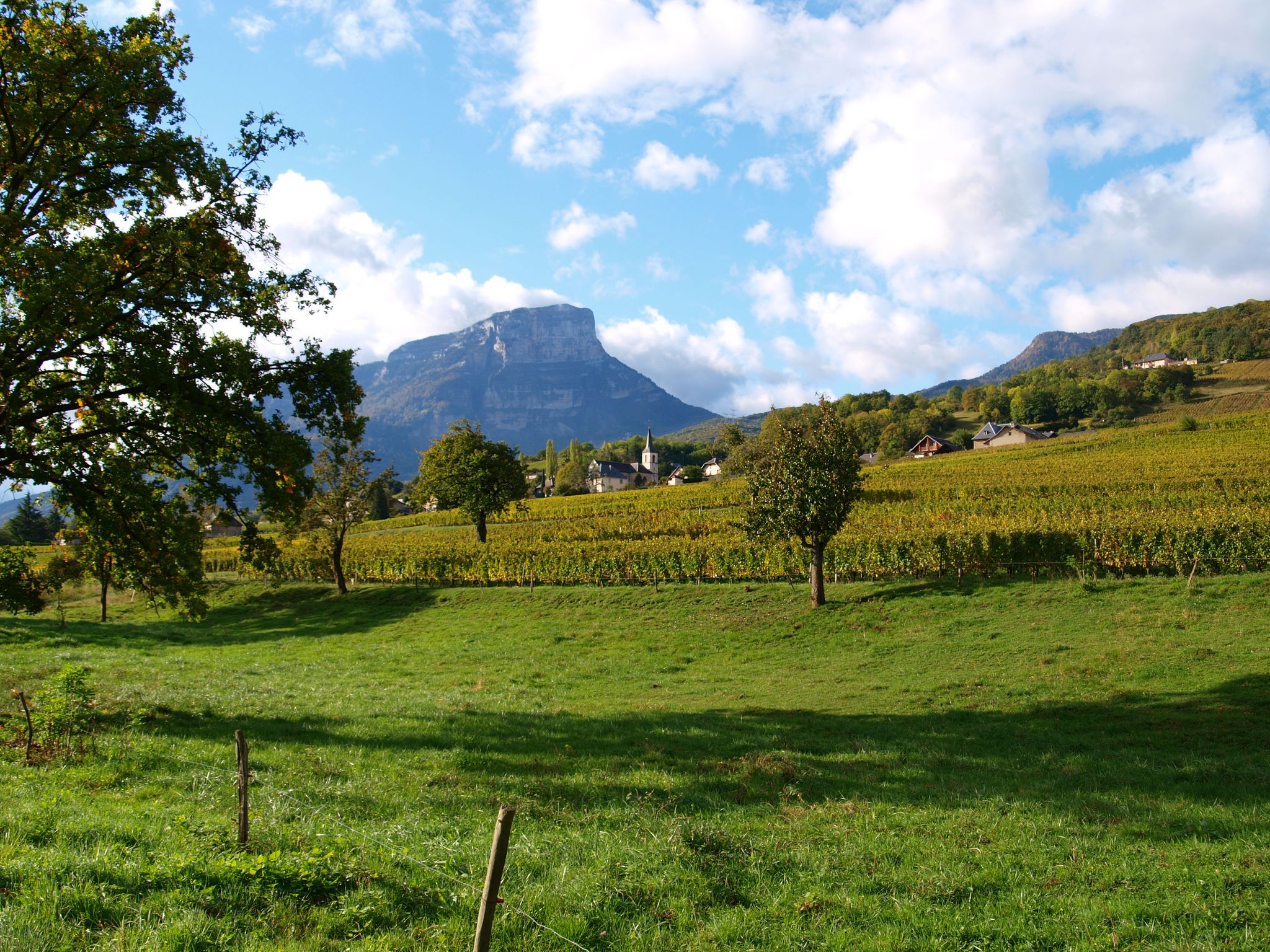
Follow the Huguenots — from Grenoble to Geneva on the GR 965
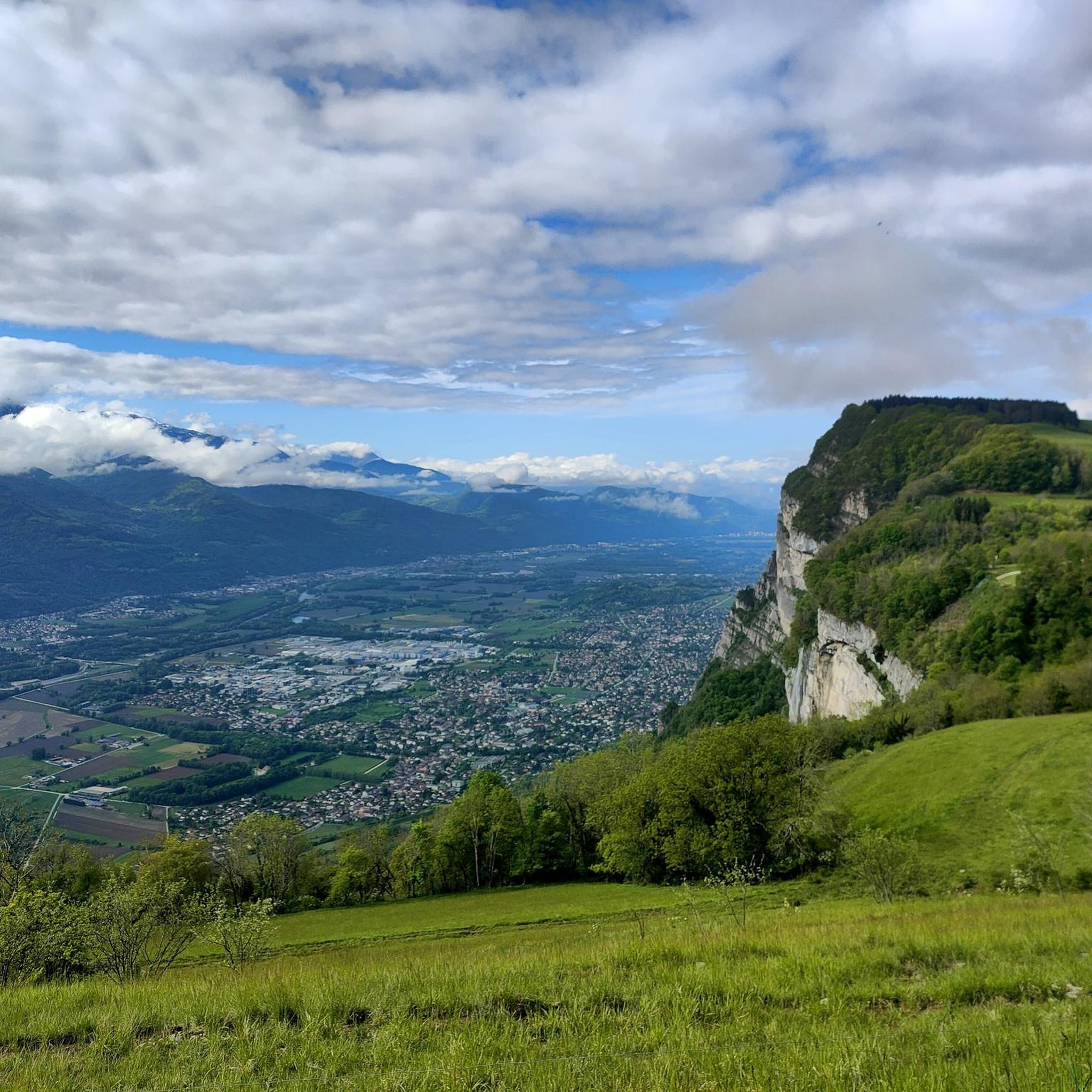
Hiking around Saint-Hilaire
Cycling around Saint-Hilaire
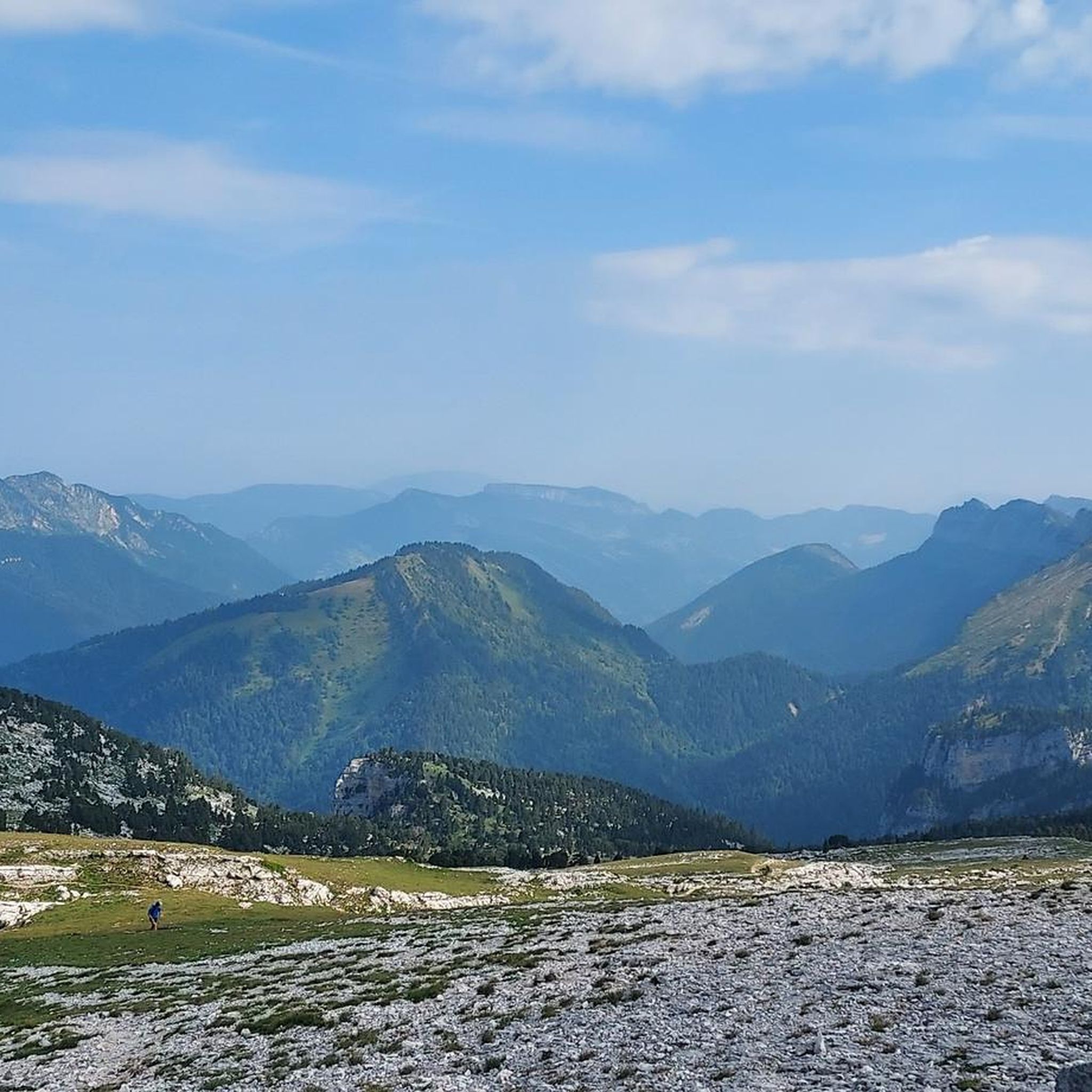
Running Trails around Saint-Hilaire
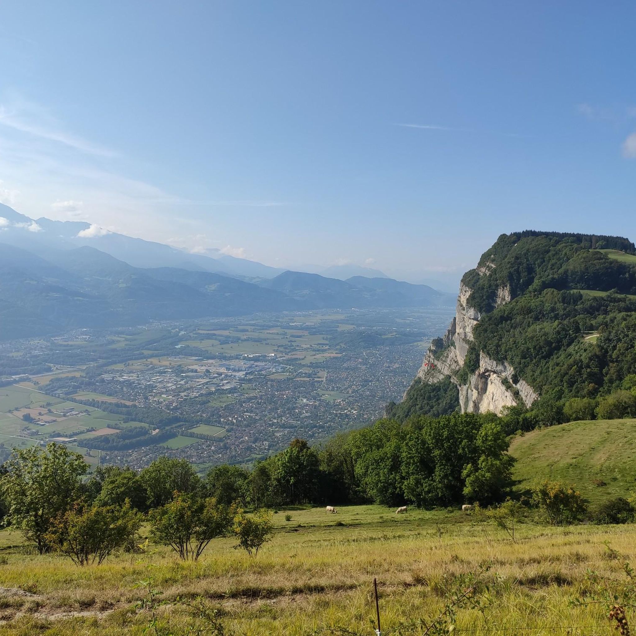
Road Cycling Routes around Saint-Hilaire
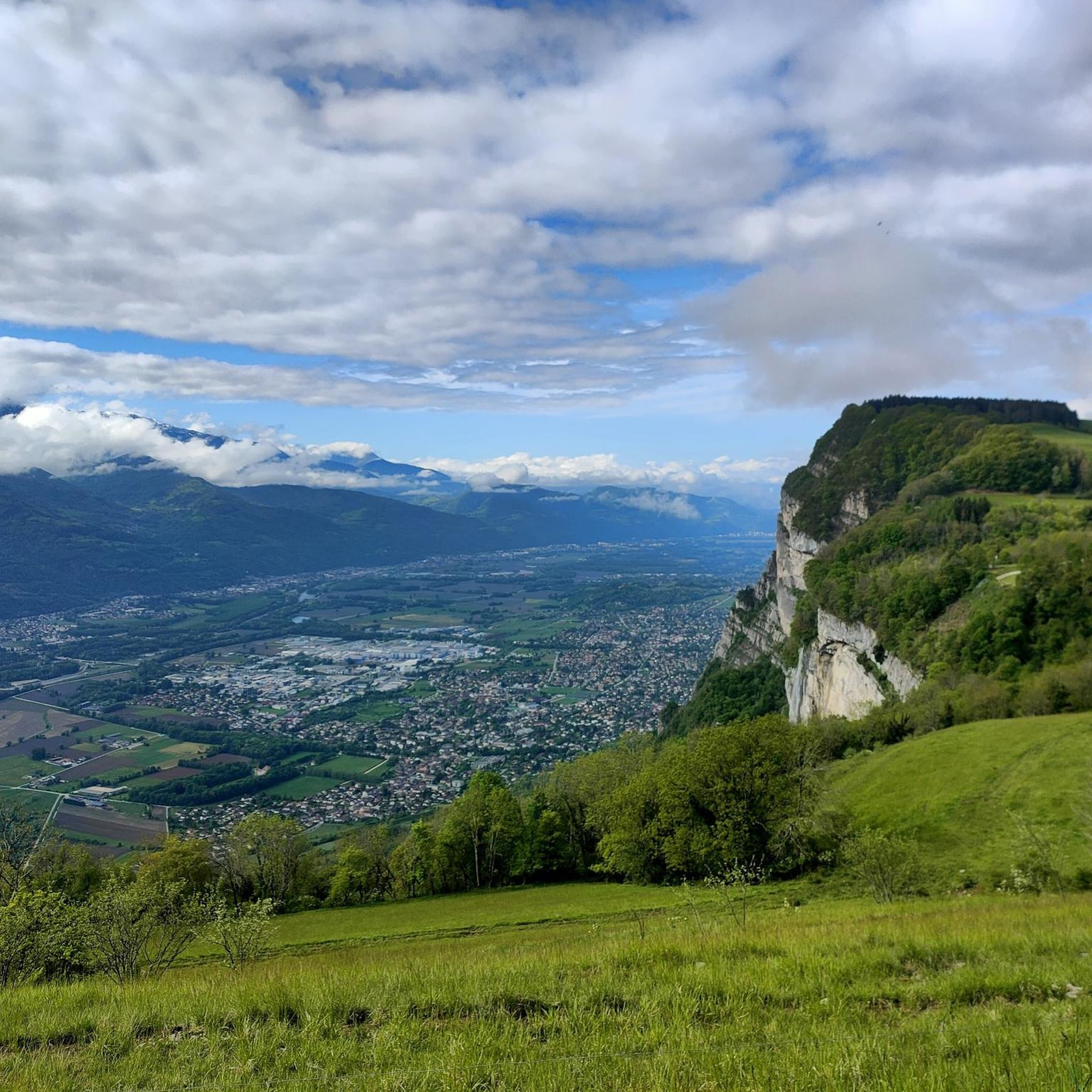
MTB Trails around Saint-Hilaire
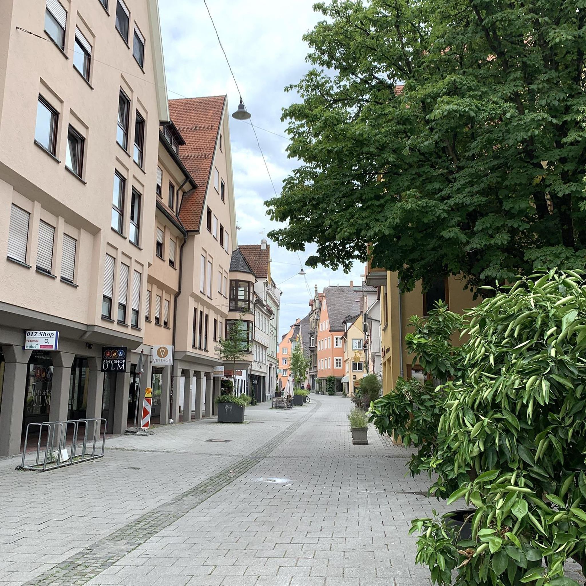
Gravel biking around Saint-Hilaire


Tips from the Community

The Dent de Crolles, at 2,062 meters, is one of the best-known peaks in the Chartreuse. The striking limestone mountain towers high above the surrounding area and offers, on a clear day, a magnificent view of the Alps and the Grenoble valley. The hike there leads through varied mountain pastures, rocky terrain, and impressive limestone landscapes. A strenuous climb, but the views and the special atmosphere of the Chartreuse make it absolutely worthwhile.
0
0
The Dent de Crolles, at 2,062 meters, is one of the best-known peaks in the Chartreuse. This distinctive limestone mountain towers high above the surrounding area and offers, on a clear day, a magnificent view over the Alps and the Grenoble valley. The hike there leads through varied mountain meadows, rocky terrain, and impressive limestone landscapes. A strenuous climb, but the views and the special atmosphere of the Chartreuse make it absolutely worthwhile.
0
0

The Arnaud pass is a cable-equipped passage very exposed to the void. Experience with airy paths recommended. Not recommended for descent. No escape possible.
0
0

The Brèche Arnaud is a chimney passage in the cliff, about 80 m of climbing, there is a cable that allows you to secure yourself. Alpine hiking experience is essential to venture there.
0
0

The cross of the Aulp du seuil is located at 1825m above the cirque and marks the entrance to the high plateaus.
0
0

Once you start, you can't go back. I only continued at the top because a hiker pulled my backpack up with a rope. I was stuck with my backpack. Or you can pull yourself up 3 meters on the rope, which is a risky task... I couldn't do that. There are many risky, steep sections. Safety would be advisable.
0
0
Favor the climb via Sarcenas, almost no cars
3
0
Exceptional site at the foot of the Dent de Crolle with access via a wild forest road
2
0
Frequently Asked Questions
What kind of terrain can I expect on mountaineering routes around Saint-Hilaire?
Mountaineering around Saint-Hilaire, situated within the Chartreuse Massif, is characterized by its dramatic limestone peaks, deep valleys, and dense forests. You'll encounter challenging ascents, rocky paths, and alpine meadows, all offering panoramic views of the surrounding French Alps.
How many mountaineering routes are available in the Saint-Hilaire area?
There are 19 mountaineering routes available around Saint-Hilaire. These include 10 moderate and 9 difficult options, catering to various skill levels.
Are there any family-friendly mountaineering routes near Saint-Hilaire?
While all routes are classified as mountaineering, there are 10 moderate routes that might be more suitable for families with some hiking experience. For example, the Oratoire d'Orgeval – Col de la Chavanette Signpost loop from Chamechaude is a moderate 7.2-mile path that offers a mix of forest and open mountain sections.
What are some notable landmarks or viewpoints I can discover on these routes?
The Chartreuse Massif offers several impressive natural landmarks. You can encounter the majestic Dent de Crolles summit, or explore the scenic Bellefont Pass. Another highlight is the Charmant Som summit, offering expansive views.
Are there any waterfalls to see along the mountaineering trails?
Yes, the region boasts beautiful natural water features. You can visit the stunning Saint-Même Cirque Waterfalls or the picturesque Gouille Waterfall, both offering refreshing sights during your mountaineering adventure.
What do other mountaineers say about the routes around Saint-Hilaire?
The routes in Saint-Hilaire are highly rated by the komoot community, with an average score of 4.7 stars from over 20 reviews. Mountaineers often praise the varied terrain, from challenging ascents to scenic alpine meadows, and the stunning views of the French Alps.
Can you recommend a challenging circular mountaineering route?
For a challenging circular route, consider Le pas de l'œil – Dent de Crolles loop from Saint-Pancrasse. This difficult 4.7-mile trail features substantial elevation gain through varied mountain terrain and typically takes just over 4 hours to complete.
Are there any huts or refuges available along the mountaineering routes?
Yes, there are several huts and refuges in the area that can provide a resting point or overnight stay. Notable options include the Habert of Chamechaude, the Manival Forest Refuge, and the Habert de Billon.
What is a good option for an advanced mountaineering route with significant elevation gain?
An excellent choice for experienced mountaineers seeking significant elevation gain is Petit Som – Bovinant Pass loop from Monastère de la Grande-Chartreuse. This difficult 7.4-mile route involves over 900 meters of ascent and descent, offering a strenuous but rewarding experience.
Is there a shorter, yet still challenging, circular route available?
If you're looking for a shorter but still difficult circular route, the Dent de Crolles – Le pas de l'œil loop from Saint-Pancrasse is a great option. This 4.0-mile trail leads through the dramatic landscapes of the Chartreuse Massif and can be completed in under 4 hours.
What is the longest mountaineering route in the Saint-Hilaire area?
The longest route listed is the Petit Som – Bovinant Pass loop from Monastère de la Grande-Chartreuse, which spans 7.4 miles (11.9 km) and is classified as difficult. It offers an extensive journey through the mountainous terrain.
Are there any routes that feature unique geological formations?
Yes, the Chartreuse Massif is known for its distinctive limestone geology. The The Miracle Arch loop from Saint-Bernard is a difficult 6.2-mile route that will take you through areas where you can appreciate these unique rock formations, including the natural arch itself.
Most popular routes around Saint-Hilaire
Most popular attractions around Saint-Hilaire

Get inspired with the komoot mobile app


Explore more
Browse the best Mountain Hikes & Routes in other regions.
