The best walks and hikes around Wegscheid
4.4
(528)
3,300
hikers
17
hikes
Hiking trails around Wegscheid offer a diverse natural landscape in Lower Bavaria, characterized by varied topography and the influence of the Bavarian Forest. The region features unique geological formations, including impressive rock formations and numerous viewpoints. Water features such as waterfalls and the Jochenstein rock island also contribute to the area's distinct environment.
Best hiking trails around Wegscheid
- The most popular hiking route is Fuchsfelsen Viewpoint – View of Ferme Auberge Belacker loop from Rimbach-près-Masevaux, a 7.2 miles (11.6…
Last updated: September 30, 2026
4.7
(15)
116
hikers
Hard hike. Good fitness required. Sure-footedness, sturdy shoes and alpine experience required.
5.0
(7)
57
hikers
15.6km
05:25
830m
830m
Hard hike. Very good fitness required. Mostly accessible paths. Sure-footedness required.

5.0
(6)
20
hikers
8.30km
02:55
470m
470m
Hard hike. Good fitness required. Sure-footedness, sturdy shoes and alpine experience required.
5.0
(1)
17
hikers
8.46km
02:54
450m
450m
Hard hike. Good fitness required. Sure-footedness, sturdy shoes and alpine experience required.
4.0
(2)
20
hikers
Hard hike. Good fitness required. Sure-footedness, sturdy shoes and alpine experience required.
Get access to more routes and recommendations from other explorers.
Already have an account?
Our route recommendations are based on thousands of hikes, rides, and runs completed by other people on komoot.
Start today with a free account
Your next adventure awaits.
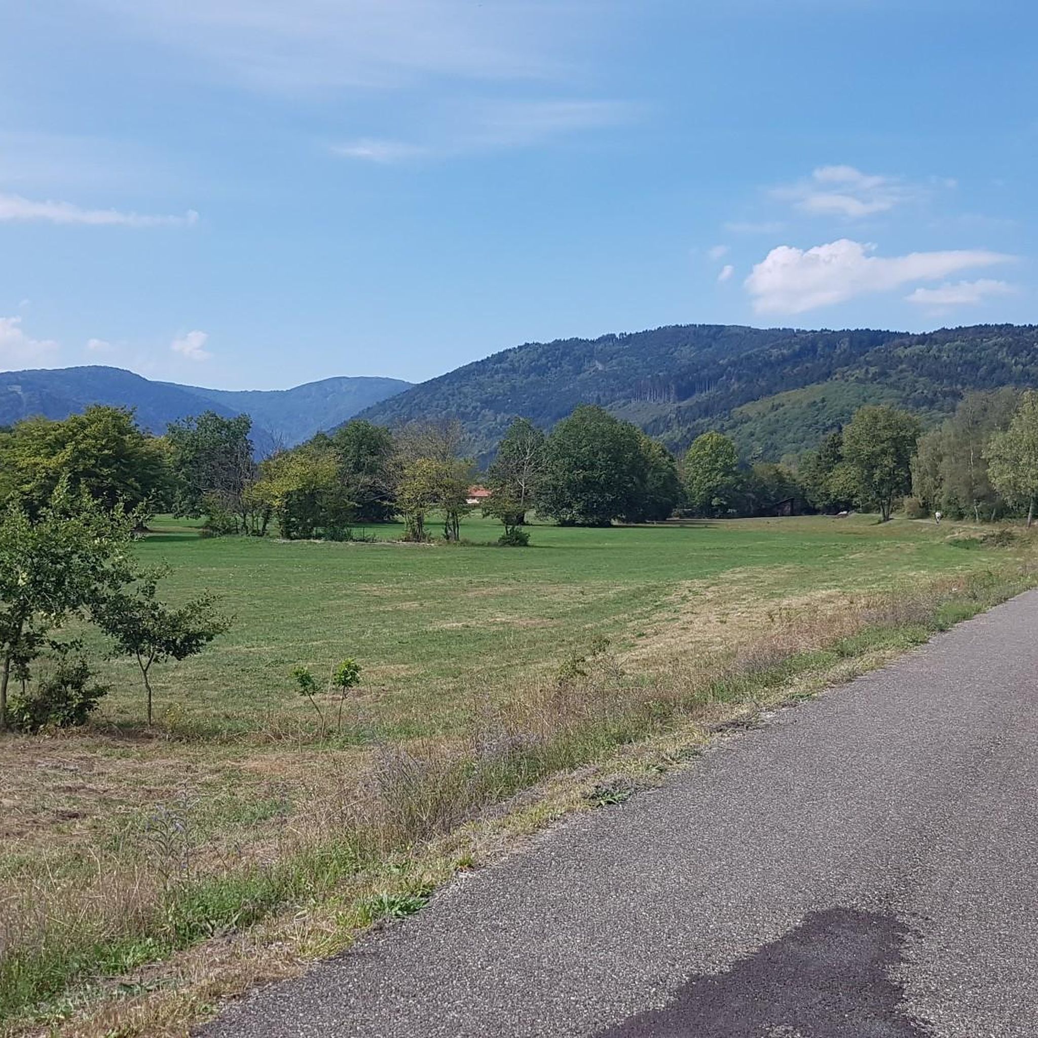
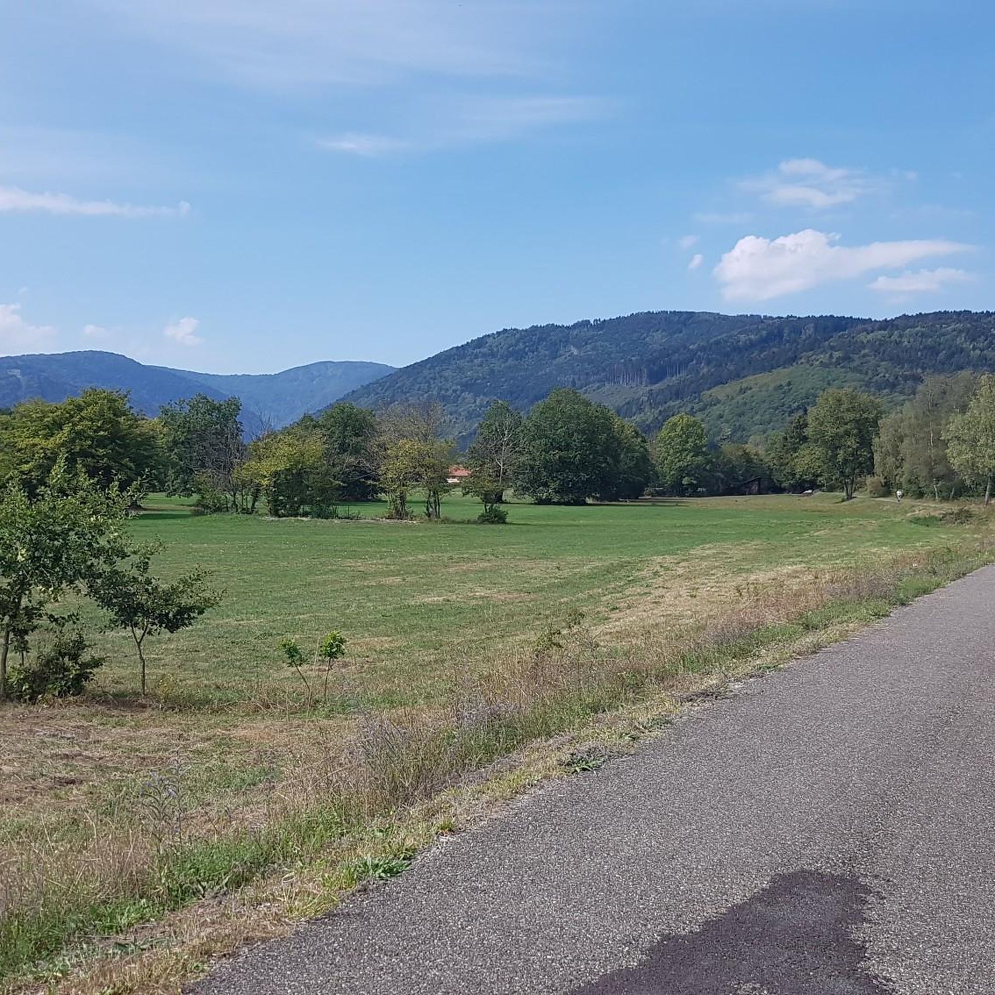
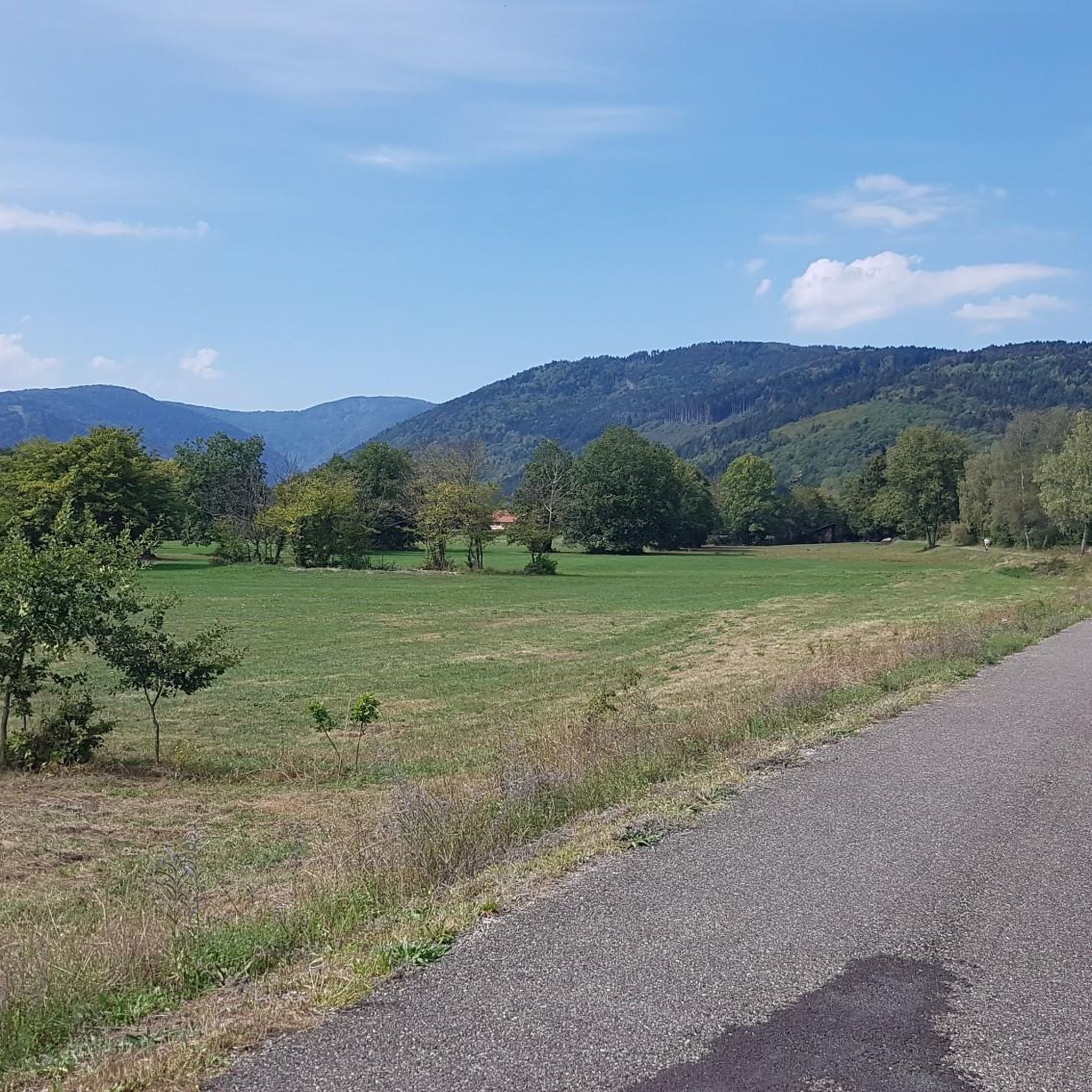
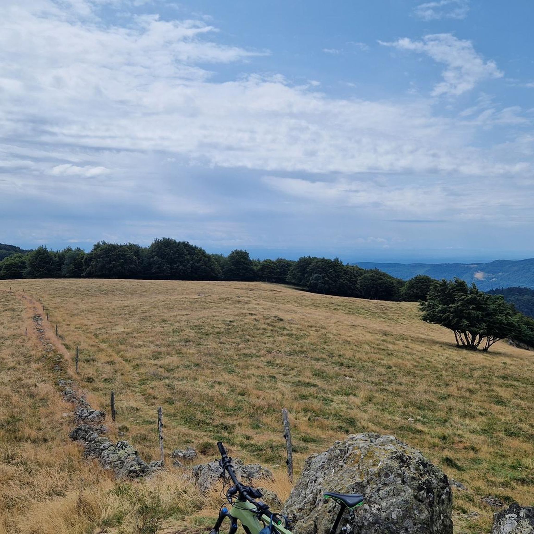


Tips from the Community

Magnificent viewpoint in superb condition. The view is breathtaking, especially in winter when the surrounding rocks are beautifully revealed.
0
0
Beautiful hike and beautiful viewpoint
1
0


Magnificent viewpoint located below the Fuchsfelsen. The latter is nevertheless wilder, and its rocky plateau allows you to lie down comfortably to enjoy the very beautiful view of the massifs. (a small path on the left allows you to reach the end more easily if you do not want to climb the rocks).
0
0
Beautiful rocky viewpoint pointing towards Belacker, Drumont and Tête des Perches
1
0

One of my favourite things about the Vosges, is the network of Auberge like this one. We had a delicious lunch at Auberge Gsang. 3 courses with: Soup, beef stew and local cheese and/or dessert. The auberge is run by a couple and everything home-made. As it was a snowy crisp day; the open fire was waiting to warm us up. In the summer; there is outdoor seating with an incredible view. Note the auberge is only accessible by foot or bike and stands at 1,020 meters of elevation (c. 3,200 ft). It is open from Wednesday to Sunday but do call ahead of setting off to ensure it is open on that day. (Or be ready with a back-up in your rucksack)
0
0

As you hike through the picturesque French countryside, you’ll stumble upon the charming Ferme Auberge Gsang. Nestled among rolling hills and lush vineyards, this rustic farmhouse offers a delightful escape from the hustle and bustle of city life. After a day exploring the surrounding trails, you can relax on the terrace, savor delicious local cuisine, and enjoy stunning views of the countryside. Be sure to sample the farm’s homemade products, such as wine, cheese, and jams.
0
0

The “Fuchs” deserves it! Muscular count the afternoon by forest paths the view is absolutely magnificent on the belvedere! On the other hand, the descent by hiking path if you take the only one on the right that goes down is very very involved, a lot of walking on the ground but some sections are rolling! Descent difficulties 7 out of 10! Very good control and good level of piloting required!
0
0
Frequently Asked Questions
How many hiking trails are available around Wegscheid?
Wegscheid offers a diverse network of over a dozen hiking trails. These routes cater to various preferences, ranging from easy walks to more challenging excursions, ensuring there's something for every hiker.
What kind of terrain can I expect on the hiking trails in Wegscheid?
The terrain around Wegscheid is highly varied, influenced by its location in Lower Bavaria and the Bavarian Forest. You can expect diverse topography, from gentle paths suitable for leisurely strolls to more demanding sections with significant elevation changes, including hills and mountainous areas. The region is also known for its unique geological features, such as impressive rock formations.
Are there easy trails suitable for beginners or families?
Yes, Wegscheid offers several easy trails perfect for beginners or families looking for a relaxed outdoor experience. While specific family-friendly routes aren't detailed here, the overall network includes options with less elevation gain and shorter distances, providing accessible ways to enjoy the natural beauty.
Are there any challenging hikes for experienced trekkers?
Absolutely. For experienced hikers seeking a challenge, Wegscheid provides several difficult routes. An example is the Fuchsfelsen Viewpoint – View of Ferme Auberge Belacker loop, which covers 7.2 miles (11.6 km) with substantial elevation changes, typically taking over 4 hours to complete. Another demanding option is the Rossberg – Gsang Farm Inn loop, a 9.6-mile (15.5 km) path exploring varied and challenging terrain.
Can I find circular hiking routes in Wegscheid?
Yes, many of the trails around Wegscheid are designed as circular routes, allowing you to start and end at the same point without retracing your steps. Popular examples include the Viewpoint – Fuchsfelsen Viewpoint loop and the Vogelstein (Bird Rock) – Vogelstein loop, offering diverse scenery throughout your journey.
Are there any notable natural attractions or landmarks to see along the trails?
Wegscheid is rich in natural attractions. You can discover unique geological formations like the **Teufelsschüssel Rock Formation** (Devil's Bowl Rock Formation), known for its distinctive bowl-like depressions. The region also features numerous viewpoints, such as the Fuchsfelsen Viewpoint, offering expansive vistas. Additionally, the **Jochenstein rock island** on the Danube is a significant natural monument nearby. You can also explore various natural monuments like Ballon d'Alsace or serene water bodies like Lac des Perches (Star Lake).
Are there any waterfalls in the Wegscheid area?
Yes, water features are a significant part of the region's natural beauty, and you can find several waterfalls around Wegscheid. Notable examples include the Rummel Waterfalls, Bubalafels Waterfall, and the Small and Large Seebach Waterfalls, offering picturesque spots for hikers.
What do other hikers say about the trails in Wegscheid?
The hiking trails in Wegscheid are highly regarded by the komoot community, holding an impressive average rating of 4.4 stars from over 400 reviews. More than 2,700 hikers have used komoot to explore the area, often praising the diverse topography, unique rock formations, and the scenic viewpoints that offer rewarding vistas of the surrounding landscape.
Are the hiking trails in Wegscheid dog-friendly?
While specific regulations for dogs can vary by trail and protected areas, generally, many hiking trails in the Bavarian Forest region are dog-friendly, provided dogs are kept on a leash. It's always recommended to check local signage or specific trail descriptions for any restrictions before heading out with your canine companion.
Are there good viewpoints along the hiking routes?
Yes, Wegscheid is known for its numerous viewpoints that offer expansive vistas of the surrounding Lower Bavarian landscape. The Fuchsfelsen Viewpoint is a prime example, providing stunning panoramic views. Many trails, such as the Fuchsfelsen Viewpoint – Sattelboden Pass loop, are specifically designed to lead hikers to these scenic overlooks.
What is the best time of year to hike in Wegscheid?
The best time to hike in Wegscheid generally spans from spring through autumn (April to October), when the weather is mild and the trails are clear of snow. Spring brings lush greenery and blooming wildflowers, while autumn offers vibrant fall foliage. Summer is also popular, though trails can be busier. Winter hiking is possible, but some routes may be challenging due to snow and ice, requiring appropriate gear.
Most popular routes around Wegscheid
Most popular attractions around Wegscheid

Get inspired with the komoot mobile app


Explore more
Browse the best Hikes in other regions.
