The best mountain hikes around Wegscheid
4.9
(7)
22
hikers
7
hikes
Mountaineering routes around Wegscheid traverse a landscape characterized by significant elevation changes, mountain passes, and panoramic viewpoints. The region features prominent peaks like Ballon d'Alsace and offers varied terrain, including forested slopes and open mountain areas. Situated in the Bavarian Forest, the area is known for its ancient mountain woodlands and diverse geological makeup.
Best mountaineering routes around Wegscheid
- The most popular mountaineering route is Hundsruck Pass – Panoramic view loop from Bourbach-le-Haut, a 9.7 miles (15.5 km) trail…
Last updated: July 5, 2026
5
hikers
15.5km
04:58
640m
640m
Moderate mountaineering route. Good fitness required. Easily-accessible paths. Suitable for all skill levels.
5.0
(3)
4
hikers
10.4km
03:49
640m
640m
Moderate mountaineering route. Good fitness required. Easily-accessible paths. Suitable for all skill levels.

Sign up for free
5.0
(1)
3
hikers
Moderate mountaineering route. Great for any fitness level. Mostly accessible paths. Sure-footedness required.
4.5
(2)
3
hikers
Easy mountaineering route. Great for any fitness level. Easily-accessible paths. Suitable for all skill levels.
4
hikers
26.8km
08:45
1,200m
1,200m
Hard mountaineering route. Very good fitness required. Easily-accessible paths. Suitable for all skill levels.
Get access to more routes and recommendations from other explorers.
Sign up for free
Already have an account?
Our route recommendations are based on thousands of hikes, rides, and runs completed by other people on komoot.
Start today with a free account
Your next adventure awaits.
Login or Signup
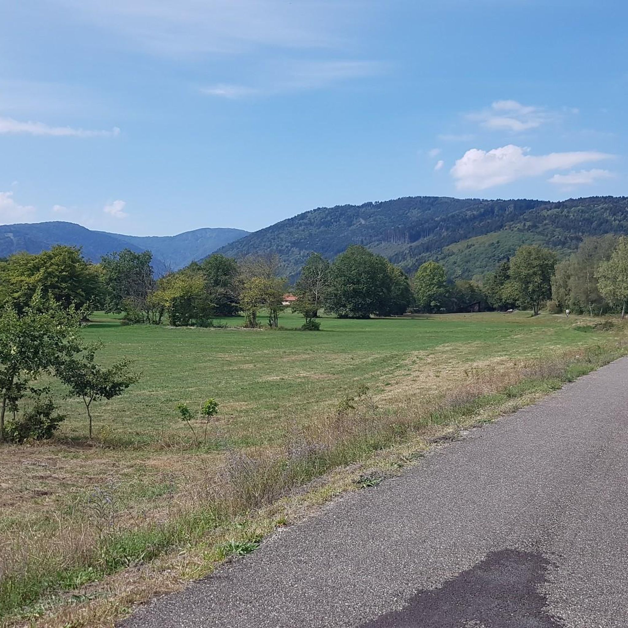
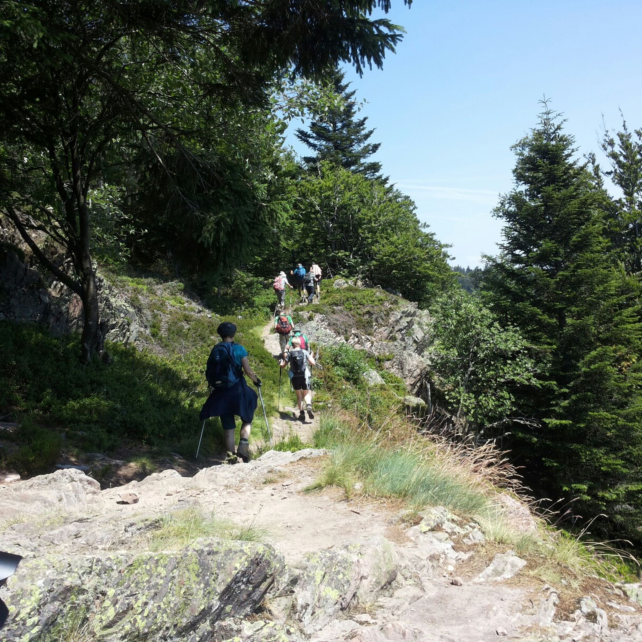
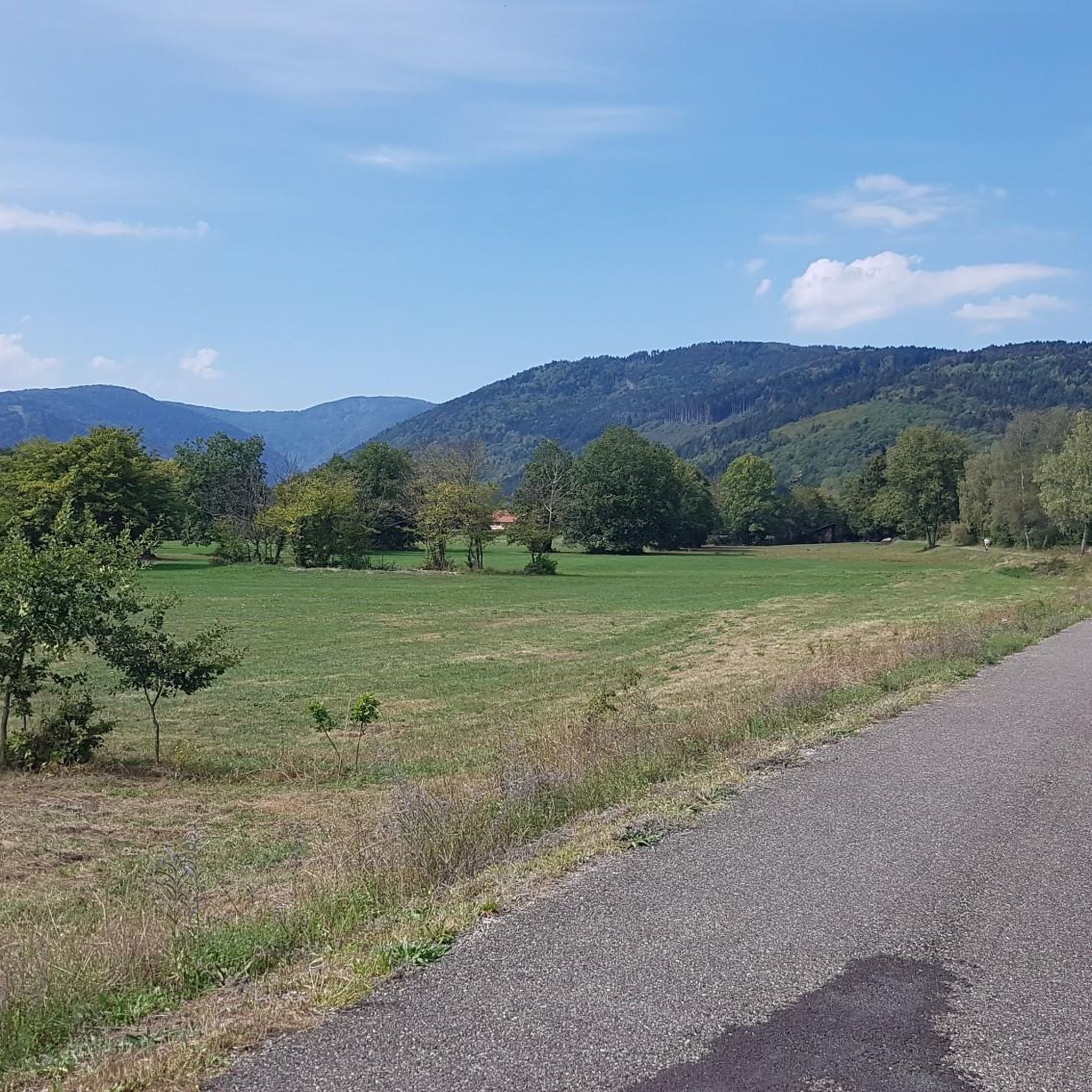
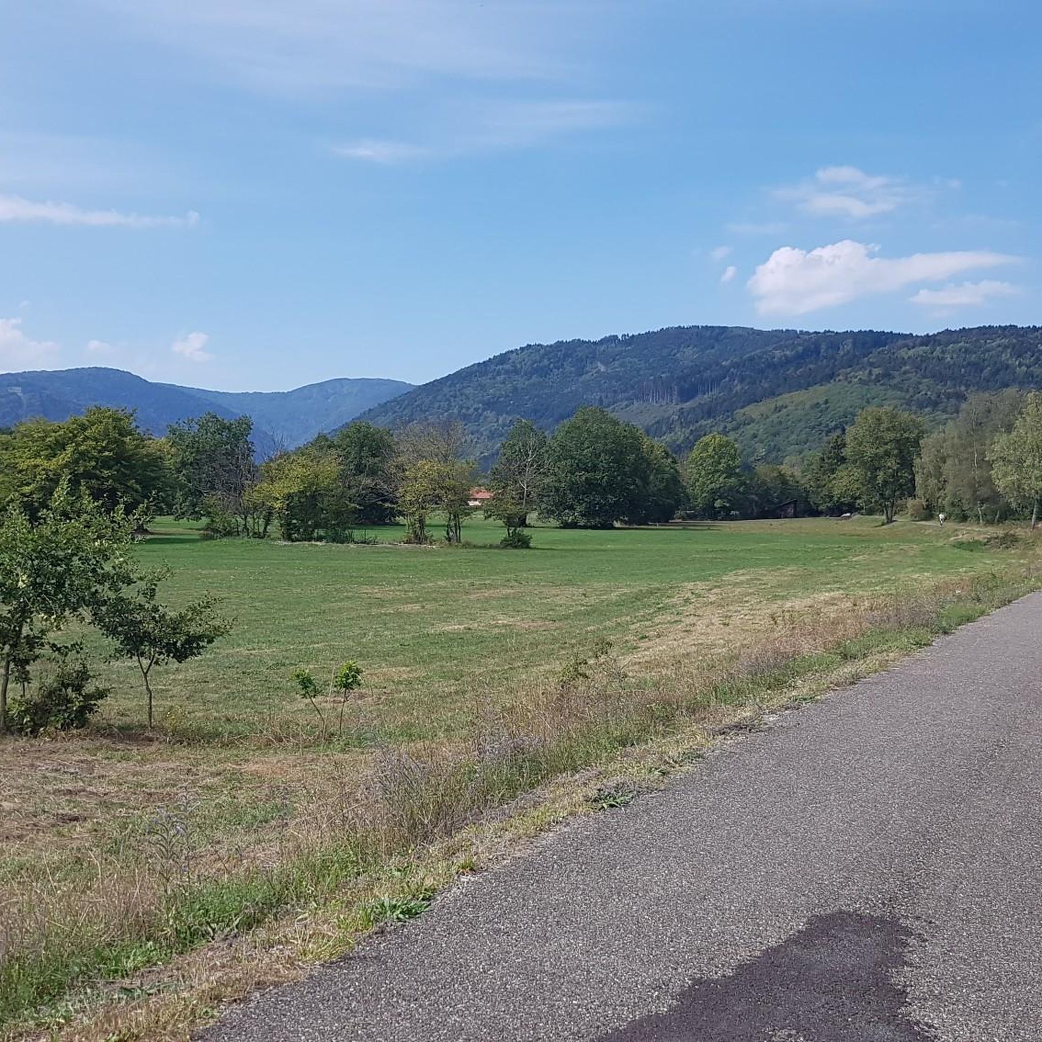

Tips from the Community

Beautiful hike and beautiful viewpoint
0
0
Too bad the dam is currently under construction.
0
0

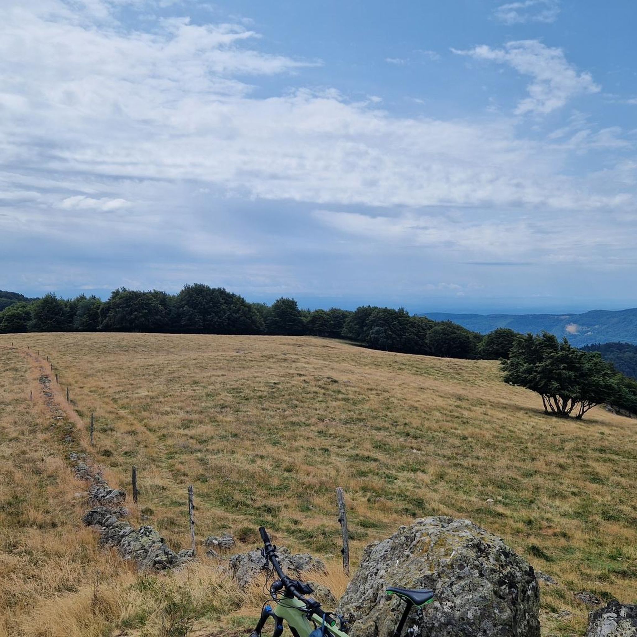
Hiking from the balloon over the mountain ridge through the High Vosges promises wonderful solitude and panoramic views.
0
0


Comfortable bench with a great view of the mountains.
1
0

Ferme Auberge Gsang: great view, good food
0
0

Very interesting to see what is true
0
0
Very beautiful nature in the area.
0
0
Frequently Asked Questions
What are the typical difficulty levels for mountaineering routes around Wegscheid?
Mountaineering routes around Wegscheid offer a range of challenges. You'll find several moderate routes, such as the popular Hundsruck Pass – Panoramic view loop from Bourbach-le-Haut, which is 9.7 miles long. There are also a few more difficult trails for experienced mountaineers. For those seeking a less strenuous option, the Ballon d'Alsace – Ballon d'Alsace loop from Col du Ballon d'Alsace is an easy 1.8-mile route.
Are there any easy or family-friendly mountaineering routes in Wegscheid?
Yes, for an easier experience suitable for families or beginners, consider the Ballon d'Alsace – Ballon d'Alsace loop from Col du Ballon d'Alsace. This route is 1.8 miles long and takes approximately 1 hour to complete, offering a gentle introduction to the region's mountain scenery.
What kind of scenery can I expect on mountaineering routes near Wegscheid?
The routes around Wegscheid are known for their diverse and scenic landscapes. You'll traverse areas with significant elevation changes, enjoy panoramic viewpoints, and pass through both forested slopes and open mountain areas. Many routes, like the View of Lake Alfeld loop from Ballon d'Alsace, offer stunning vistas of natural features such as Lake Alfeld and the surrounding Vosges mountains.
Are there any circular mountaineering routes available in Wegscheid?
Yes, many of the mountaineering routes around Wegscheid are designed as loops, allowing you to start and end at the same point. Examples include the Hundsruck Pass – Panoramic view loop from Bourbach-le-Haut and the Ballon d'Alsace – Col de Ronde Tête loop from Saint-Maurice-sur-Moselle, providing convenient options for your adventure.
What are some notable landmarks or points of interest I might encounter on these routes?
Mountaineering routes around Wegscheid often lead you past significant natural and historical landmarks. You can explore prominent mountain passes like Ballon d'Alsace and Hundsruck Pass. The region is also home to beautiful waterfalls, such as the Rummel Waterfalls and Bubalafels Waterfall, which can be a refreshing sight along your journey.
How long do mountaineering routes around Wegscheid typically take to complete?
The duration of mountaineering routes in Wegscheid varies depending on their length and difficulty. For instance, the Hundsruck Pass – Panoramic view loop from Bourbach-le-Haut, a moderate 9.7-mile route, typically takes around 5 hours. Shorter routes, like the easy Ballon d'Alsace – Ballon d'Alsace loop from Col du Ballon d'Alsace (1.8 miles), can be completed in about 1 hour.
What is the best time of year for mountaineering in Wegscheid?
While the guide doesn't specify a single 'best' time, the region's characteristics of forested slopes and mountain passes suggest that late spring through early autumn generally offers the most favorable conditions for mountaineering, with milder weather and clear trails. Always check local weather forecasts before heading out.
Are there any routes that offer views of Lake Alfeld?
Yes, if you're looking for stunning lake views, the View of Lake Alfeld loop from Ballon d'Alsace is an excellent choice. This moderate 6.3-mile route provides picturesque vistas of Lake Alfeld and the surrounding mountain landscape, making for a memorable experience.
What do other mountaineers say about the routes in Wegscheid?
The mountaineering routes in Wegscheid are highly regarded by the komoot community, boasting an average rating of 5.0 stars from more than 5 reviews. Users often praise the varied terrain, the extensive views from mountain passes, and the well-maintained paths that make for an enjoyable experience.
How many mountaineering routes are available in the Wegscheid area?
There are several mountaineering routes available around Wegscheid, with a total of 7 distinct tours listed in this guide. These include a mix of easy, moderate, and difficult options to suit various skill levels.
Are there any routes that explore the area around Col de Ronde Tête?
Yes, you can explore the area around Col de Ronde Tête with routes like the Ballon d'Alsace – Col de Ronde Tête loop from Saint-Maurice-sur-Moselle. This 3.4-mile moderate trail leads through mountain passes and offers a great way to experience this part of the region.
Most popular routes around Wegscheid
Most popular attractions around Wegscheid

Get inspired with the komoot mobile app


Explore more
Browse the best Mountain Hikes & Routes in other regions.
