The best road cycling routes around Roderen
4.4
(486)
16,787
riders
207
rides
Road cycling around Roderen, a commune in the Haut-Rhin department of eastern France, offers diverse terrain for cyclists. The region is characterized by rolling hills and valleys, with elevations providing varied challenges. It is situated near the Vosges Mountains foothills and the renowned Alsace vineyard cycle road. This landscape provides a mix of ascents and scenic routes through the historic Alsace region.
Best road cycling routes around Roderen
- The most popular road cycling route is Le Ballon d'Alsace — loop from Thann Saint-Jacques, a 49.1 miles (79.0 km) trail that takes 4 hours 27 minutes to complete. This route features significant elevation gain, making it a challenging ride through mountain landscapes.
- Another top favourite among local road cyclists is Col du Ballon d'Alsace – Ballon d'Alsace loop from Thann Saint-Jacques, a difficult 54.3 miles (87.3 km) path. This route offers sustained climbs and panoramic views of the Vosges Mountains.
- Local road cyclists also love the Ballon d'Alsace – Rue du Ballon d'Alsace. loop from Thann Saint-Jacques, a 59.5 miles (95.8 km) trail leading through the challenging terrain of the Ballon d'Alsace, often completed in about 5 hours 22 minutes.
- Road cycling around Roderen is defined by rolling hills, mountain passes, and vineyard routes, with options for various ability levels. The network includes routes ranging from easy loops to demanding ascents.
- The routes in Roderen are highly rated by the komoot community with an average score of 4.4 stars from over 330 reviews. More than 15,000 road cyclists have used komoot to explore Roderen's varied terrain.
Last updated: October 8, 2026
4.8
(38)
1,173
riders
79.0km
04:27
1,690m
1,690m
This difficult 49.1-mile (79.0 km) road cycling loop from Thann Saint-Jacques climbs 5547 feet (1691 metres) to Le Ballon d'Alsace.
4.6
(28)
1,071
riders
87.1km
04:35
1,570m
1,570m
Hard road ride. Very good fitness required. Mostly well-paved surfaces and easy to ride.

4.9
(15)
678
riders
95.5km
05:20
2,030m
2,030m
Hard road ride. Very good fitness required. Mostly well-paved surfaces and easy to ride.
5.0
(3)
107
riders
96.9km
04:39
1,320m
1,320m
Hard road ride. Very good fitness required. Mostly well-paved surfaces and easy to ride.
39
riders
14.6km
00:45
260m
260m
Easy road ride. Great for any fitness level. Mostly well-paved surfaces and easy to ride.
Get access to more routes and recommendations from other explorers.
Already have an account?
Our route recommendations are based on thousands of hikes, rides, and runs completed by other people on komoot.
Start today with a free account
Your next adventure awaits.
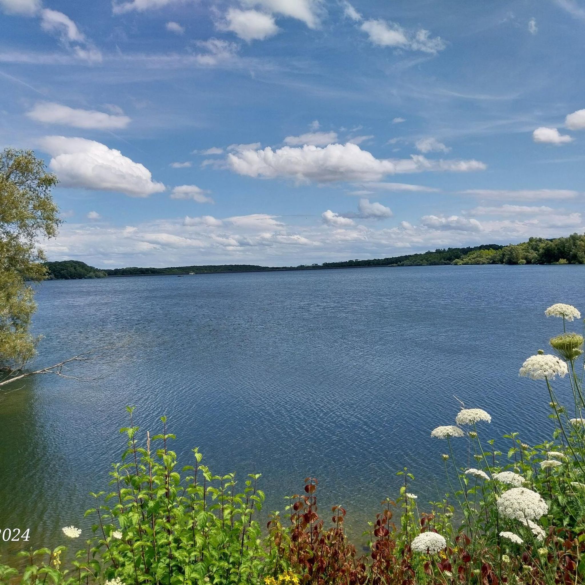
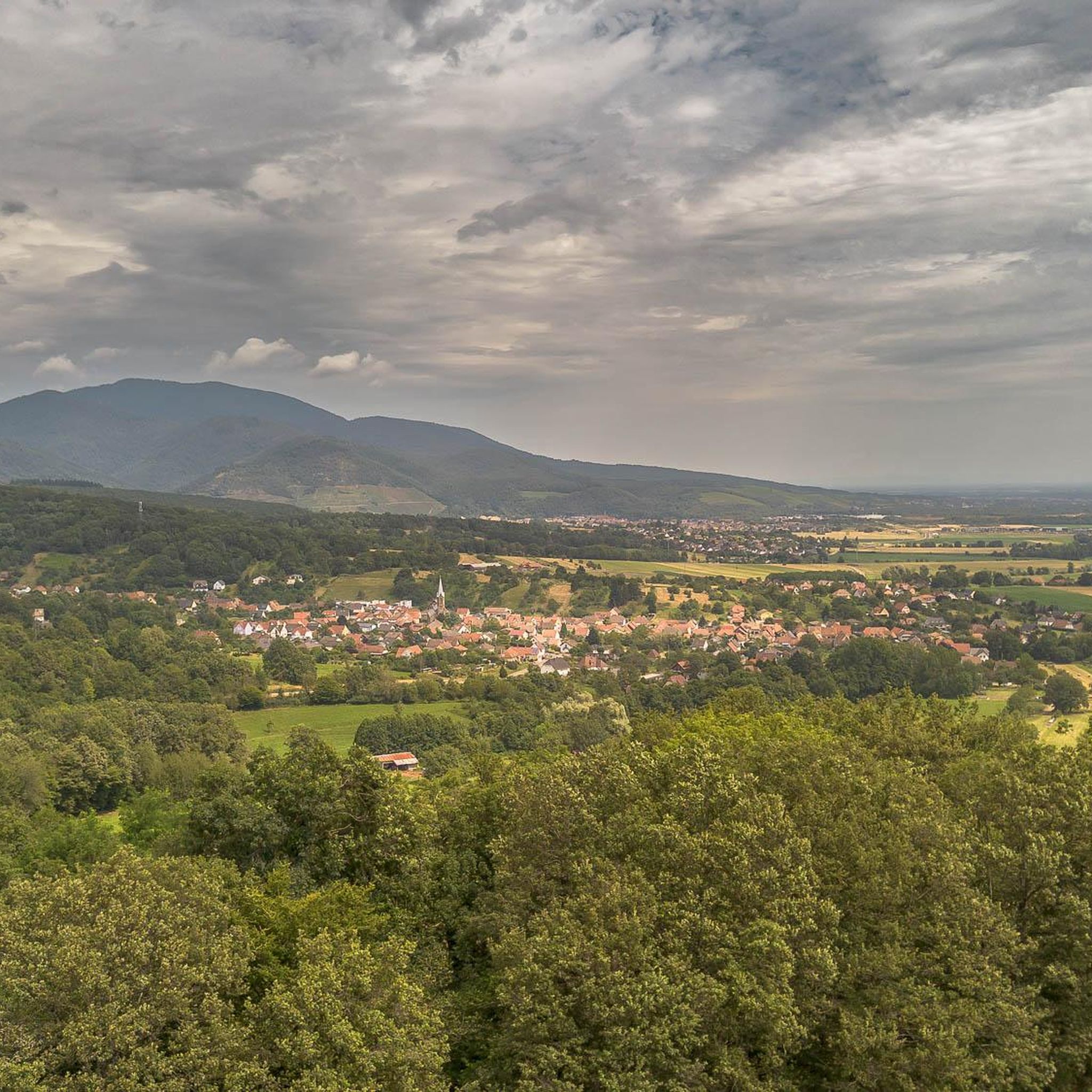
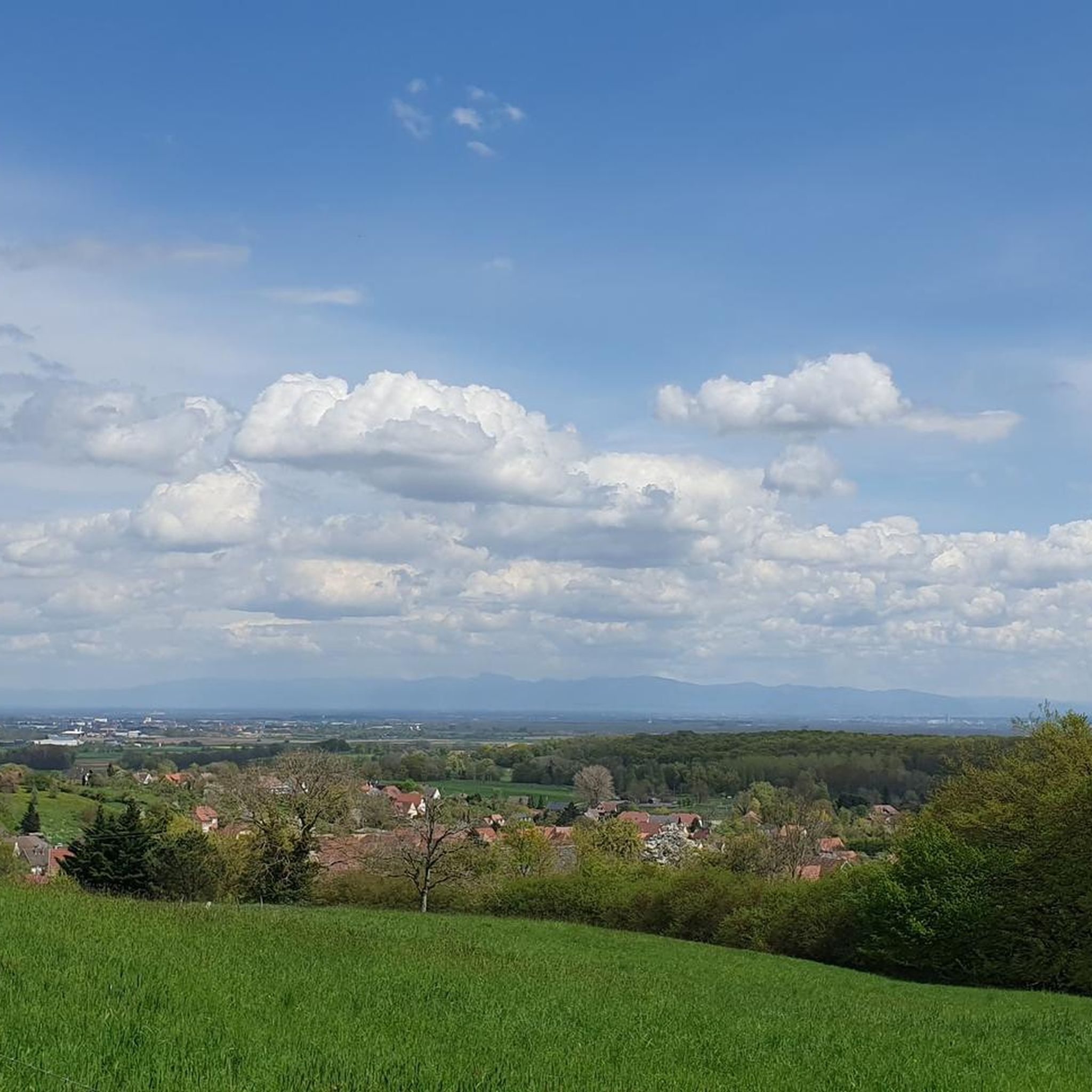
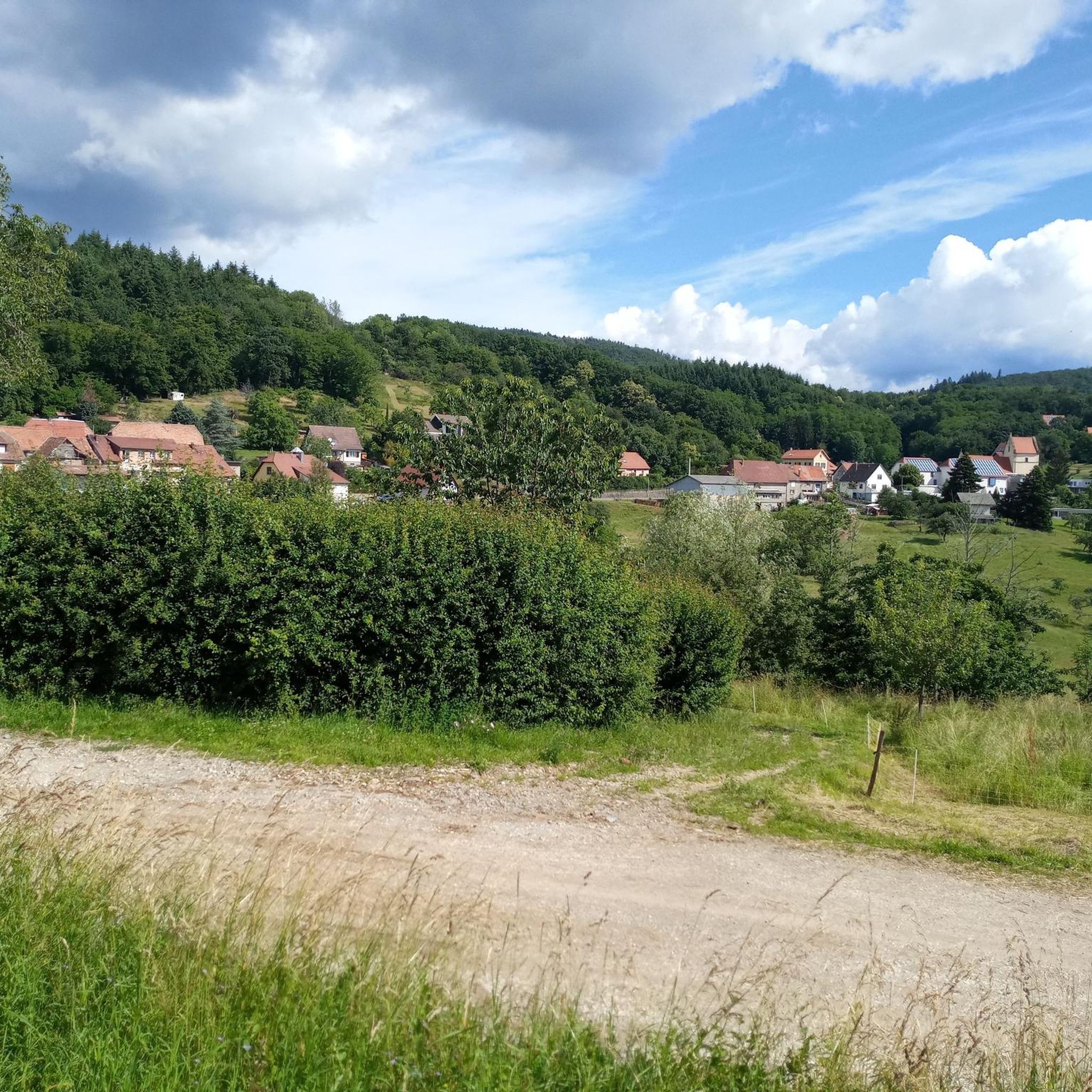


Tips from the Community

Of the three sides of the Ballon d'Alsace, this is clearly the most difficult (the only one with gradients of 9-10%)... but it is certainly the most beautiful! The hairpin bends at the start of the climb before the Alfeld lake are sublime. The road then evolves along the mountainside, unfortunately no more hairpin bends, this section can seem long for some, the gradient remains between 8 and 9%. It decreases when you reach the Langenberg... you have done the difficult part, there are still 4 km to the top. After that, there is a mix of flat sections and climbs with a natural clearing 1 km from the top, from where you have a panoramic view of the valley.
4
0
A spectacular hairpin bend on the climb to the Ballon d'Alsace. As the road winds its way up the slope, beautiful views open up over the wooded valley of the Vosges.
4
0
The Col du Hunsrück (748 m) is a quiet and wooded pass above Willer-sur-Thur. The steady climb and beautiful nature make this a pleasant classic in the southern Vosges, with connections to both the Thur and Dollervallei valleys.
4
0
La Planche des Belles Filles is a 5.8 kilometer climb. It is a category 1 climb. It is located in Plancher Les Mines, Franche-Comté, France. The average gradient of this climb is 8.6% with a maximum of 13.6%. La Planche des Belles Filles climbs from 527 meters at the start to 1,033 meters at the summit, for a total elevation gain of 506 meters.
5
0
This 5.9-kilometer climb from the village of Plancher-les-Mines in Haute-Saône is one of the most difficult in the Vosges. Indeed, cyclists who want to try it will need to be at least somewhat trained. With a gradient of 24% towards the end of the route, it's better to be well-attached. The gradient never seems to ease, with its hairpin bends and, upon reaching the resort, the last 2 kilometers rise like a wall. However, you'll be able to say that you've done it, so come and try the climb of La Planche too!
6
0

This old chapel was erected after the French Revolution on the old path to Thann and fell into disrepair over time. In 1932, the community decided to rebuild it. The current small building has a simple nave, an open porch, and a small bell tower with a bell. In front of the chapel stands a statue of the Virgin Mary, which underscores the character of the place as a pilgrimage and devotional site. The chapel is dedicated to the "Mother of God of Perpetual Help" and belongs to the typical small religious monuments of southern Alsace.
1
0

we followed your route for many kilometers
0
0

If you like to hurt and question gravity, this is the right place.
0
0
Frequently Asked Questions
How many road cycling routes are available around Roderen?
There are over 200 road cycling routes around Roderen, offering a wide variety of options for different skill levels and preferences. The komoot community has explored more than 15,000 of these routes.
What is the typical length and difficulty of road cycling routes in the Roderen area?
Routes vary significantly in length and difficulty. You'll find everything from easy loops, such as the Chapel of Rammersmatt – Rammersmatt - Bourbach-le-Bas loop from Leimbach which is about 14.6 km with moderate elevation, to challenging expeditions. Many routes feature significant elevation gains, especially those venturing into the Vosges Mountains foothills.
Are there challenging road cycling routes for experienced cyclists?
Yes, Roderen is known for its challenging routes, particularly those involving the Vosges Mountains. Routes like Le Ballon d'Alsace — loop from Thann Saint-Jacques (79 km with 1690m elevation gain) and Col du Ballon d'Alsace – Ballon d'Alsace loop from Thann Saint-Jacques (87.3 km with 1574m elevation gain) offer sustained climbs and panoramic views, catering to advanced riders.
What kind of scenery can I expect on road cycling routes around Roderen?
The region offers diverse and picturesque landscapes. You'll cycle through rolling hills and valleys, with routes often providing views of the Grand Ballon, the highest peak of the Vosges Mountains. The renowned Alsace vineyard cycle road also winds through picturesque vineyards and traditional villages, offering a captivating journey through the region's rich heritage.
Are there any circular road cycling routes available?
Yes, many road cycling routes around Roderen are designed as loops, allowing you to start and finish at the same point. Examples include the challenging Ballon d'Alsace – Rue du Ballon d'Alsace. loop from Thann Saint-Jacques and easier options like the Guewenheim station – Patisserie loop from Sentheim.
What historical or natural attractions can I visit along the road cycling routes?
The area around Roderen is rich in historical and natural sites. You might encounter highlights such as the Adlerhorst Command Post – World War I or the Veilchenstein German WW1 Bunker. For natural beauty, consider routes that pass by the Ascent from Soultz to Col du Grand Ballon or the Hundsruck Pass, offering stunning views.
When is the best time of year for road cycling in Roderen?
The region is ideal for road cycling during spring, summer, and early autumn. These seasons offer pleasant weather conditions for exploring the rolling hills, mountain passes, and vineyard routes. While specific weather conditions can vary, avoiding winter months is generally recommended due to potential snow and colder temperatures in higher elevations.
What do other cyclists say about road cycling in Roderen?
The road cycling routes around Roderen are highly rated by the komoot community, with an average score of 4.4 stars from over 330 reviews. Cyclists often praise the varied terrain, from challenging mountain climbs to scenic vineyard paths, and the beautiful views of the Vosges Mountains and the Alsace plain.
Are there any specific routes that are part of larger cycling networks?
Yes, a major draw for cyclists is the Alsace vineyard cycle road (Veloroute du Vignoble d'Alsace), which is part of the EuroVelo 5 - Via Romea cycle route. This route offers a captivating journey through vineyards and traditional villages, with segments built on former railways and ancient Roman roads. A stage of this route notably concludes in Thann, near Roderen.
Can I find routes suitable for a more relaxed ride, perhaps through vineyards?
Absolutely. While the region is known for its challenging mountain routes, you can also find easier sections, particularly along the Alsace vineyard cycle road. These routes offer a more leisurely pace through picturesque vineyards and charming villages, perfect for a relaxed ride to experience the region's cultural landscape.
Are there any specific mountain passes or climbs that are popular among road cyclists?
Yes, the area is famous for its mountain passes. The Ascent from Soultz to Col du Grand Ballon and the Climb to Col Amic are popular challenges. The iconic Le Ballon d'Alsace and Col du Ballon d'Alsace are central to many demanding routes, offering significant elevation gains and rewarding views.
Most popular routes around Roderen
Most popular attractions around Roderen

Get inspired with the komoot mobile app


Explore more
Browse the best Road cycling routes in other regions.
