The best road cycling routes around Gewenheim
4.3
(453)
14,576
riders
234
rides
Road cycling routes around Gewenheim traverse a landscape characterized by rolling vineyards, forested hills, and river valleys. The region offers varied terrain, from gentle slopes through cultivated areas to more challenging ascents into the surrounding natural areas. Roads often wind through picturesque villages and along waterways, providing diverse cycling experiences.
Best road cycling routes around Gewenheim
- The most popular road cycling route is Guewenheim station – River crossing - La Doller loop from Michelbach, a 29.4 miles (47.3 km)…
Last updated: October 20, 2026
5.0
(3)
107
riders
96.9km
04:39
1,320m
1,320m
Hard road ride. Very good fitness required. Mostly well-paved surfaces and easy to ride.
4.0
(1)
33
riders
50.1km
02:14
450m
450m
Moderate road ride. Good fitness required. Mostly well-paved surfaces and easy to ride.

4.0
(1)
35
riders
24.8km
01:05
220m
220m
Easy road ride. Mostly well-paved surfaces and easy to ride.
5.0
(1)
18
riders
26.1km
01:05
160m
160m
Easy road ride. Mostly well-paved surfaces and easy to ride.
14
riders
45.2km
01:58
290m
290m
Moderate road ride. Some segments of this route may be unpaved and difficult to ride.
Get access to more routes and recommendations from other explorers.
Already have an account?
Our route recommendations are based on thousands of hikes, rides, and runs completed by other people on komoot.
Start today with a free account
Your next adventure awaits.

Tips from the Community

La Planche des Belles Filles is a 5.8 kilometer climb. It is a category 1 climb. It is located in Plancher Les Mines, Franche-Comté, France. The average gradient of this climb is 8.6% with a maximum of 13.6%. La Planche des Belles Filles climbs from 527 meters at the start to 1,033 meters at the summit, for a total elevation gain of 506 meters.
7
0
This 5.9-kilometer climb from the village of Plancher-les-Mines in Haute-Saône is one of the most difficult in the Vosges. Indeed, cyclists who want to try it will need to be at least somewhat trained. With a gradient of 24% towards the end of the route, it's better to be well-attached. The gradient never seems to ease, with its hairpin bends and, upon reaching the resort, the last 2 kilometers rise like a wall. However, you'll be able to say that you've done it, so come and try the climb of La Planche too!
8
0

Bahnhof Burnhaupt-le-Haut The Bahnhof Burnhaupt-le-Haut is located on the former railway line from Cernay to Sewen, which led through the Dollertal. The line was built in the 19th century and was of great importance for passenger and freight transport in the region. During the First World War, the station gained particular strategic importance. Burnhaupt was located immediately behind or close to the front line between German and French troops. The railway was used to transport soldiers, weapons, ammunition, and other supplies. Due to the fighting, the station was heavily damaged. After the war, the station building was rebuilt between 1921 and 1923. A building typical of the region with elements of Alsatian architecture was created. The station has largely been preserved to this day and serves as a reminder of the importance of the railway for the region's development and the destruction of the First World War. Regular passenger service on the line was discontinued in 1967, and the line was later closed. Part of the former railway line is now operated as a museum railway by Train Thur Doller Alsace. Historic locomotives and wagons run on the line through the Dollertal, making the history of the railway tangible for visitors. The Bahnhof Burnhaupt-le-Haut is therefore not only a former transport hub, but also a historic site where the history of the region, the railway, and the First World War converge. Further information and historical photos: Train Thur Doller Alsace – Bahnhof Burnhaupt
0
0

If you like to hurt and question gravity, this is the right place.
0
0
It starts gently... but that's just the beginning.
1
0

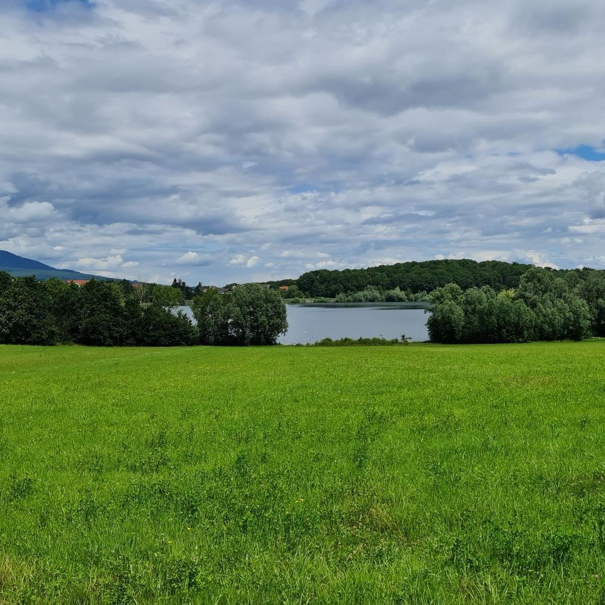
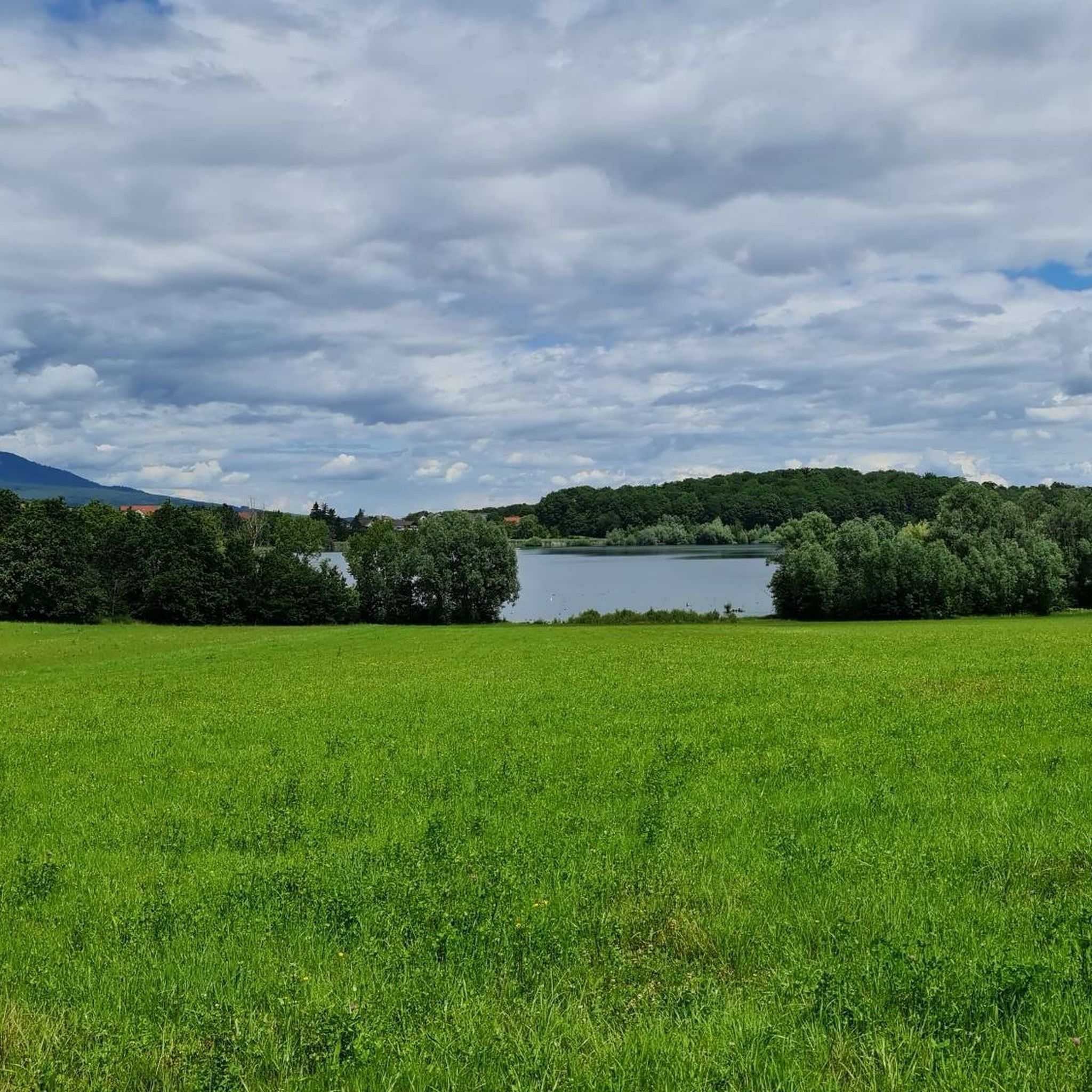
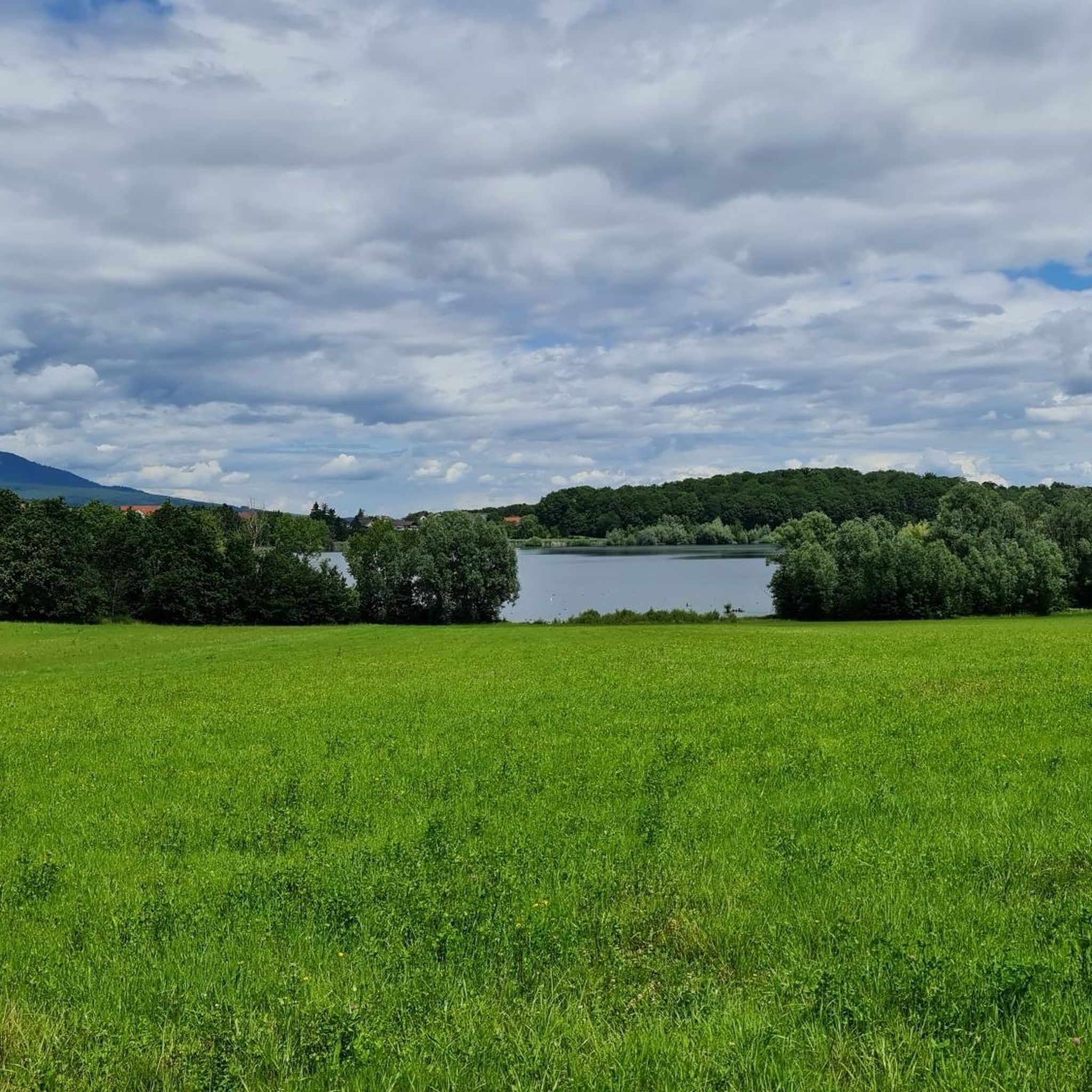
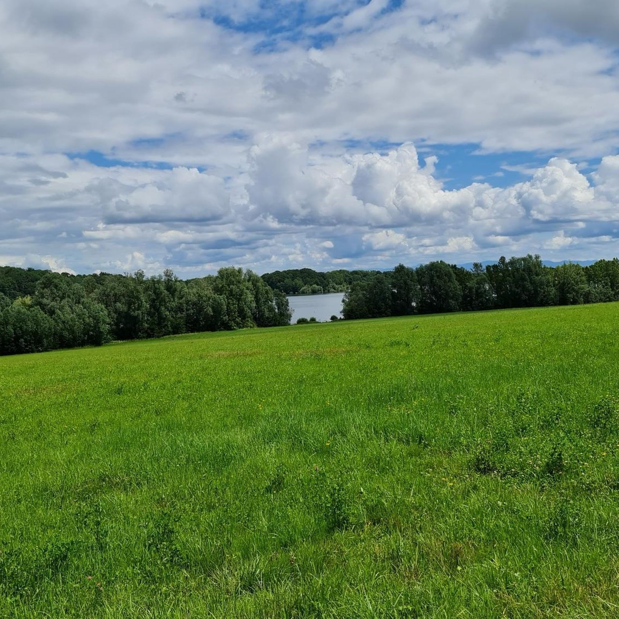
I liked this pleasant lake, its welcoming terrace. We wanted to return, from the woods, but had to turn back (Spring 2026). Access is now blocked by palisades with warning signs and monitored by cameras. The marked trails of the Club Vosgien have been rerouted. As a result, the desire to go to the bar was forgotten!
0
0

This bike path is very, very nice, and there's even a bench. The bike path is also under trees.
0
0
Frequently Asked Questions
How many road cycling routes are available around Gewenheim?
There are over 240 road cycling routes around Gewenheim, offering a wide variety of experiences. This includes approximately 70 easy routes, 140 moderate routes, and 30 more challenging options for experienced cyclists.
What kind of terrain can I expect on road cycling routes in the Gewenheim area?
The Gewenheim area, likely referring to the Alsace region, features diverse terrain. You can expect routes winding through picturesque vineyards, along river valleys, and into forested hills. The Guewenheim station – River crossing - La Doller loop from Michelbach, for example, offers moderate elevation gain through varied landscapes, characteristic of the region's rolling hills and the nearby Vosges mountains.
Are there any easy road cycling routes suitable for beginners or a relaxed ride?
Yes, the Gewenheim area offers several easy road cycling routes. A popular choice for a more relaxed ride is the Guewenheim station – Patisserie loop from Sentheim, an easy 15.3-mile (24.7 km) path that takes you through the local area with gentle slopes.
What are some scenic viewpoints or landmarks I can see while road cycling around Gewenheim?
While cycling around Gewenheim, you can encounter several notable landmarks and natural features. Highlights include the Hundsruck Pass, offering panoramic views, and the historic The Witch's Eye (Engelbourg Castle). You might also pass by serene spots like Michelbach Lake or the ancient Chêne Wotan. The region's vineyards themselves provide beautiful vistas, especially along routes like the Alsace Wine Route.
What do other road cyclists enjoy most about the routes in Gewenheim?
The road cycling routes in Gewenheim are highly rated by the komoot community, with an average score of 4.4 stars from over 300 reviews. Cyclists often praise the varied terrain, which includes rolling vineyards, river paths, and forested hills, providing diverse experiences for all ability levels. The scenic beauty and well-maintained roads are frequently highlighted.
Are there any long-distance road cycling routes near Gewenheim?
Yes, for those looking for longer rides, the area offers several options. The Guewenheim station – Patisserie loop from Michelbach is a substantial 39.2-mile (63.1 km) trail that takes you through local villages and countryside. Another option is the Écluse Muehlenmatten – Eglingen Lock loop from Lotissement Chambrun, which covers nearly 36.3 miles (58.5 km).
Can I find circular road cycling routes in the Gewenheim region?
Many of the road cycling routes around Gewenheim are designed as loops, allowing you to start and end at the same point. Examples include the popular Guewenheim station – River crossing - La Doller loop from Michelbach and the Guewenheim - Lauw Bike Path – River crossing - La Doller loop from Michelbach, both offering circular journeys through the scenic landscape.
What is the best time of year for road biking in Gewenheim?
Given the region's characteristics, often associated with the mild climate of the Alsace Wine Route, spring and autumn are generally ideal for road cycling. Spring offers early blooms and pleasant temperatures, while autumn provides stunning vineyard colors. Summers can be warm but are also suitable, especially for rides through shaded forest areas. Winter conditions might include colder temperatures and potential for snow in higher elevations.
Are there places to stop for refreshments or cafes along the road cycling routes?
The routes often wind through picturesque villages and cultivated areas, suggesting opportunities to find cafes and restaurants. The region, particularly if it's the Alsace Wine Route, is known for its charming villages and local patisseries, providing excellent spots for a break and refreshments during your ride.
Are there any specific challenges or advanced routes for experienced road cyclists?
Yes, while there are many easy and moderate routes, the Gewenheim area also offers more challenging options, with 30 routes classified as difficult. These routes typically feature more significant elevation gains and longer distances, often venturing into the surrounding forested hills and potentially the foothills of the Vosges mountains, providing a good test for experienced riders.
Is public transport available to access road cycling routes in Gewenheim?
Many routes, such as those starting from "Guewenheim station," indicate access points near public transport hubs. This suggests that train or bus services might be available to reach starting points for your road cycling adventures, making it convenient for those without private vehicles. It's advisable to check local transport schedules for specific station access.
What kind of natural monuments can I discover near Gewenheim while cycling?
Beyond the general scenery, you can explore specific natural monuments. The Chêne Wotan, an ancient oak, is a notable natural landmark. Additionally, the region's diverse forests and river valleys offer a rich natural environment to experience during your rides.
Most popular attractions around Gewenheim

Get inspired with the komoot mobile app


Explore more
Browse the best Road cycling routes in other regions.
