The best MTB trails around Marcieux
4.4
(368)
2,585
riders
147
rides
Mountain biking around Marcieux offers diverse landscapes within the French Alps, providing a variety of trails for outdoor enthusiasts. The region, part of the broader Isère area, is characterized by its mountainous terrain and natural features. Riders can expect routes that navigate through varied elevations and scenic vistas. Marcieux mountain biking guide highlights the area's potential for exploration across different skill levels.
Best mountain bike trails around Marcieux
- The most popular mountain bike trail is Crusille Pass (573 m) –…
Last updated: August 21, 2026
4.5
(18)
36
riders
27.2km
02:27
620m
620m
Moderate mountain bike ride. Good fitness required. Advanced riding skills necessary.
4.4
(7)
34
riders
41.5km
04:21
1,160m
1,160m
Hard mountain bike ride. Very good fitness required. Advanced riding skills necessary. Some portions of the route may require you to push your bike.

Sign up for free
4.7
(3)
24
riders
44.1km
03:44
1,060m
1,050m
Hard mountain bike ride. Very good fitness required. Suitable for all skill levels.
10
riders
12.3km
01:11
320m
320m
Moderate mountain bike ride. Good fitness required. Suitable for all skill levels.
5.0
(1)
7
riders
21.1km
01:58
540m
540m
Moderate mountain bike ride. Good fitness required. Advanced riding skills necessary.
Get access to more routes and recommendations from other explorers.
Sign up for free
Already have an account?
Our route recommendations are based on thousands of hikes, rides, and runs completed by other people on komoot.
Start today with a free account
Your next adventure awaits.
Login or Signup


Tips from the Community

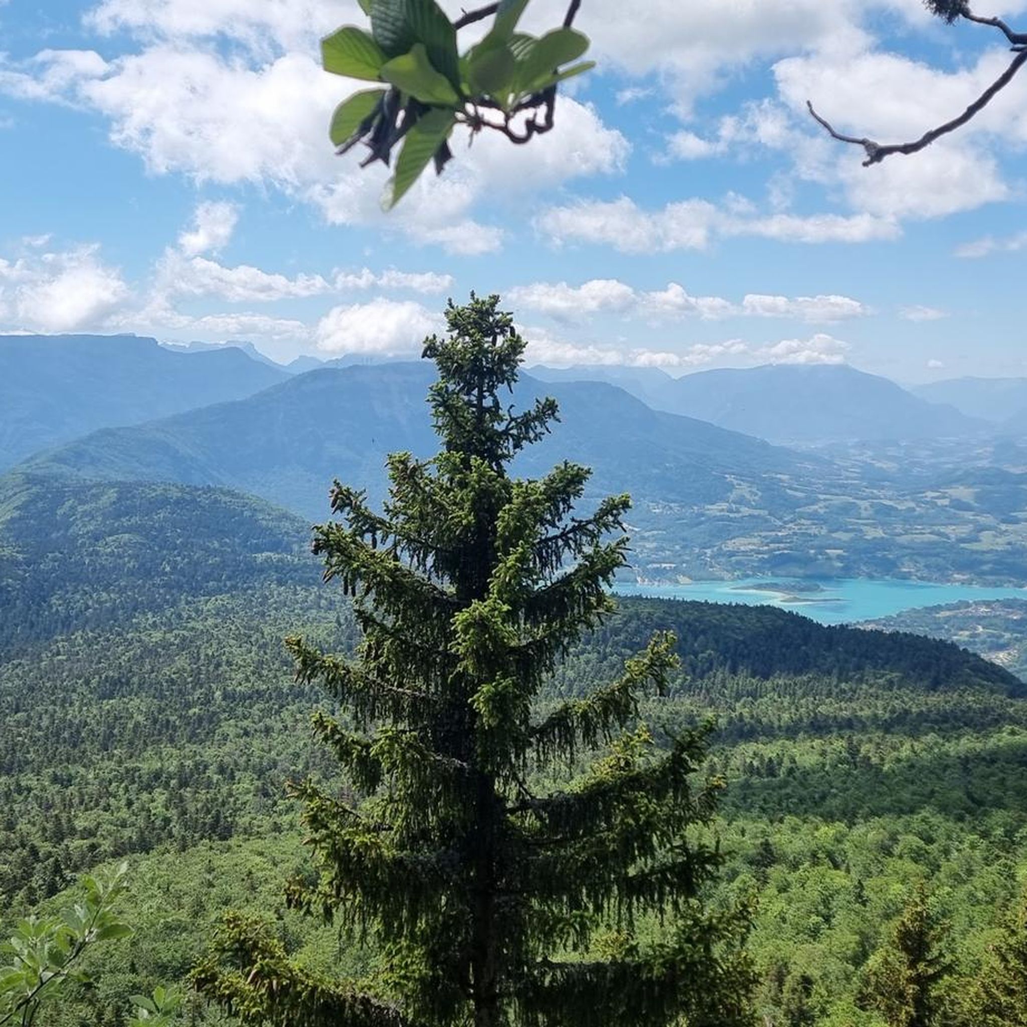
Dizzying belvedere from the top of Mont Tournier, view of the Grand Thur, the Grand Colombier and of course the Rhône.
1
0


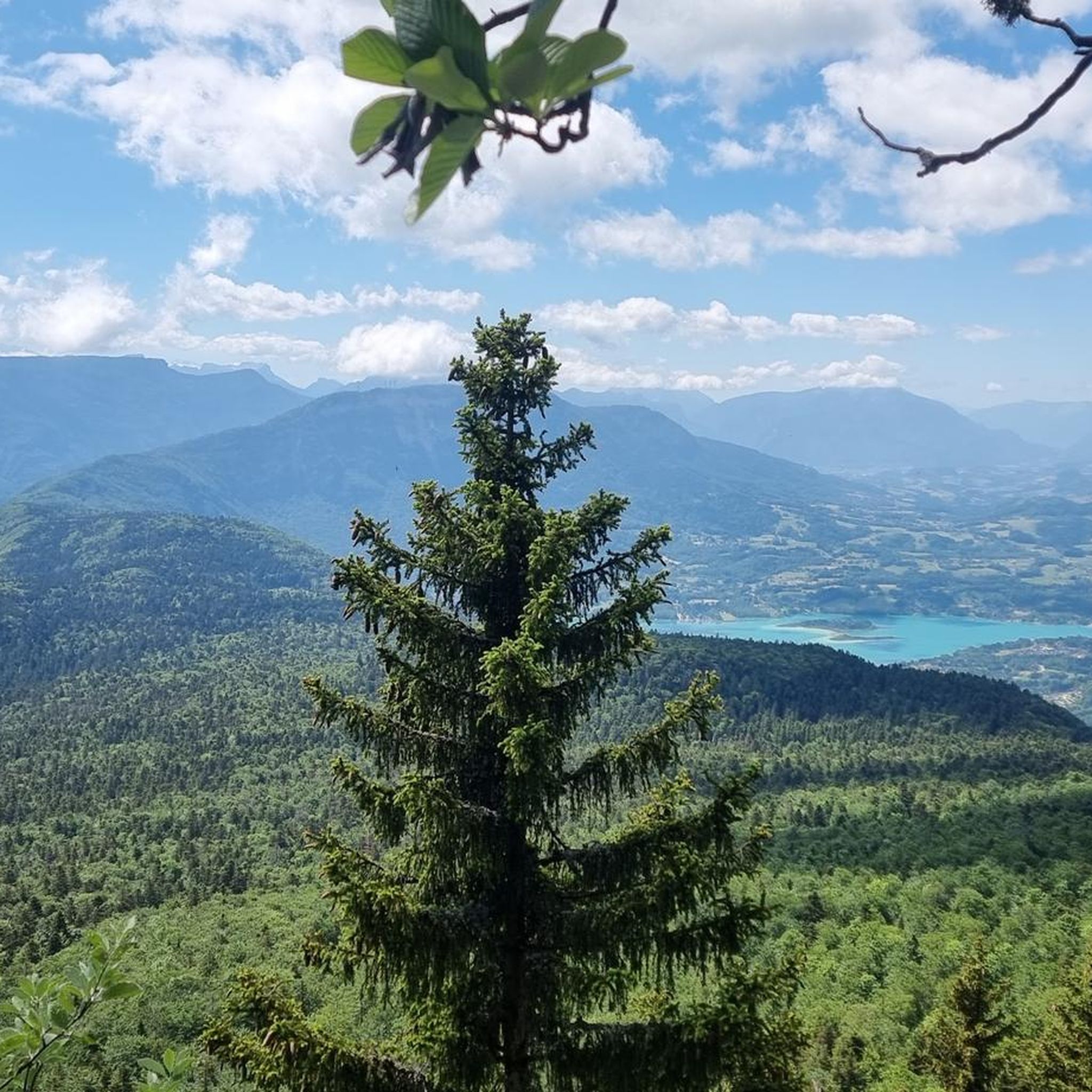
Massif des Bauges with descent to Lac d'Aiguebelette or climb to Col de l'Epine back to Chambéry.
0
0
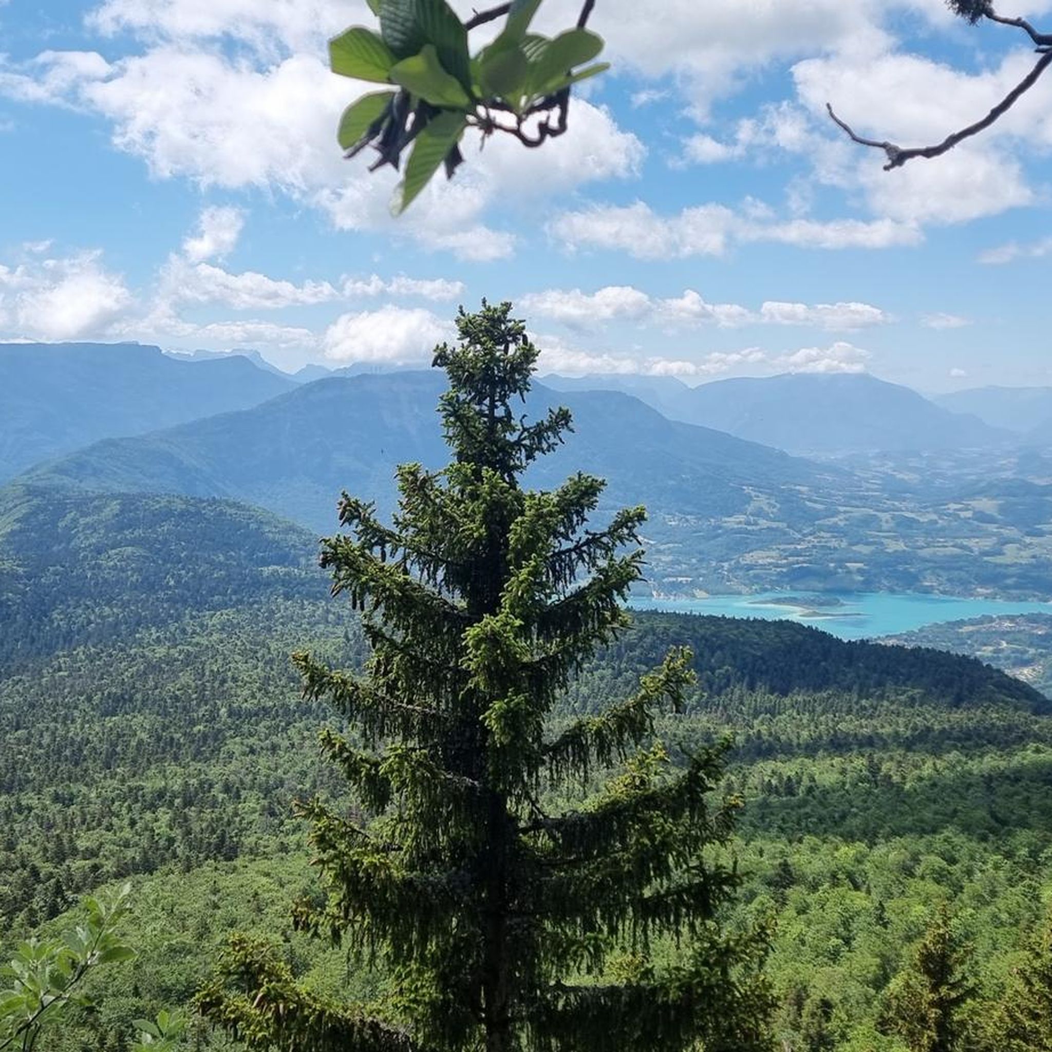
Pass located at an altitude of 573 m, to be climbed from Saint-Genix-sur-Guiers or Novalaise.
1
0
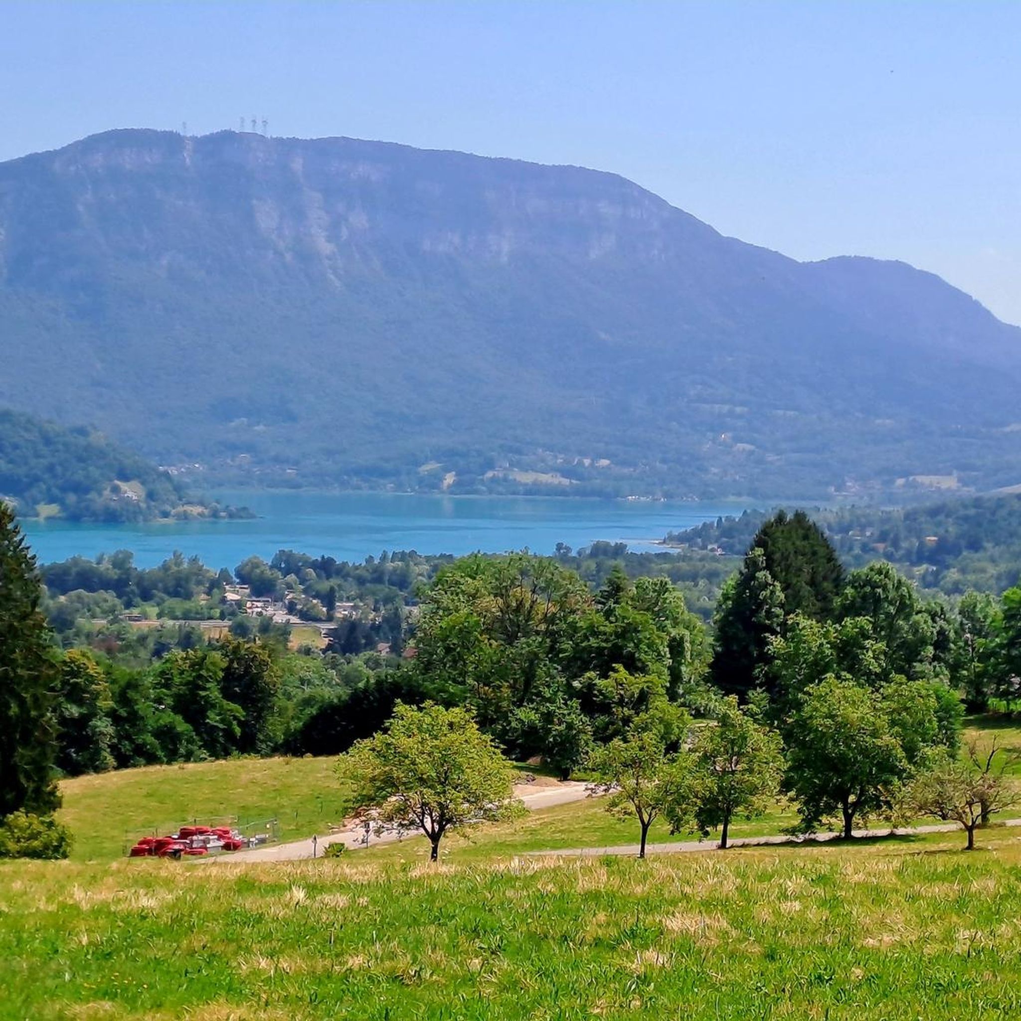
The Col du Mont Tournier – 851 m – is located in the Savoyard Avant-Pays but belongs, from a geological point of view, to the Jura Massif.
2
0

The Col de la Lattaz offers beautiful views. Located at an altitude of 754 meters, the climb from the Mont Tournier pass is rather gradual. The road continues around the summit of Mount Chaffaron.
1
0


Slight descent, rocky mountain bike path
0
0
Frequently Asked Questions
How many mountain bike trails are available around Marcieux?
There are over 150 mountain bike trails around Marcieux, offering a wide range of options for different skill levels. These routes navigate through diverse landscapes within the French Alps.
What types of terrain can I expect on mountain bike trails in Marcieux?
Mountain biking around Marcieux features mountainous terrain with varied elevations. You'll encounter a mix of ascents and descents, often leading through scenic vistas characteristic of the French Alps. The region offers routes from easy to difficult, catering to various ability levels.
Are there any easy mountain bike trails suitable for beginners in Marcieux?
Yes, Marcieux offers around 20 easy mountain bike trails, perfect for beginners or those looking for a more relaxed ride. These routes provide a gentle introduction to the region's beautiful landscapes.
Can I find challenging mountain bike routes for experienced riders?
Absolutely. For experienced riders, there are over 50 difficult mountain bike trails around Marcieux. Routes like the View of Lake Aiguebelette – Saint-Michel Pass loop from Novalaise or the Mount Tournier – Col du Mont Tournier (851 m) loop from Novalaise offer challenging terrain and significant elevation gains.
What are some notable natural features or viewpoints I can see while mountain biking in Marcieux?
The Marcieux area, nestled in the French Alps, offers stunning natural features. You can encounter prominent mountains like Mont Granier and enjoy views of Lac d'Aiguebelette. Other highlights include the Pierre Nioule – View of Lake Bourget and Aix-les-Bains and the View of the Rhône from Belvédère du Site des Fils, providing panoramic vistas.
Are there circular mountain bike routes available in Marcieux?
Yes, many mountain bike routes around Marcieux are designed as loops, allowing you to start and finish at the same point. Examples include the Crusille Pass (573 m) – Col du Mont Tournier (851 m) loop from Gerbaix and the View of Lac d'Aiguebelette loop from Novalaise.
What is the best time of year for mountain biking in Marcieux?
The trails around Col de Marcieu are generally accessible year-round, adapting to the changing seasons. However, for optimal mountain biking conditions, spring through autumn typically offers the most pleasant weather and trail surfaces. Winter conditions may introduce snow or ice, particularly at higher elevations.
Is Marcieux a good destination for family-friendly mountain biking?
Yes, Marcieux offers options for family-friendly mountain biking. The region includes easier trails suitable for a family outing. The dedicated cycle tourism route at Col de Marcieu, for instance, provides a manageable 6 km path with a 100m elevation gain, starting from St Bernard du Touvet.
What do other mountain bikers say about the trails in Marcieux?
The mountain bike trails around Marcieux are highly rated by the komoot community, with an average score of 4.4 stars from over 400 reviews. Riders often praise the diverse landscapes, the variety of routes for different skill levels, and the stunning views of the French Alps.
Are there any mountain passes I can cycle over in the Marcieux area?
Yes, the region is known for its mountain passes. You can cycle over passes such as the Épine Pass and the Saint-Michel Pass, which are featured in several routes, offering challenging climbs and panoramic views.
Can I bring my dog on the mountain bike trails in Marcieux?
While many trails in natural areas are dog-friendly, it's always recommended to check local regulations for specific routes or protected areas. Ensure your dog is well-behaved, on a leash where required, and that you carry waste bags to maintain the cleanliness of the trails.
Are there options for public transport access to the mountain bike trails?
The Isère region, where Marcieux is located, has public transport options. However, direct access to specific trailheads via public transport can vary. It's advisable to research local bus services or train connections to nearby towns like St Bernard du Touvet or Novalaise and plan your route accordingly.
Are there any specific mountain biking areas or dedicated trails near Col de Marcieu?
Yes, the Col de Marcieu itself features a dedicated cycle tourism route, which is a 6 km path with a 100m elevation gain, starting from the village of St Bernard du Touvet. This area is specifically designed to be accessible and enjoyable for cyclists.
Most popular routes around Marcieux
Most popular attractions around Marcieux

Get inspired with the komoot mobile app


Explore more
Browse the best MTB trails in other regions.
