The best walks and hikes around Saint-Crépin
4.6
(794)
7,235
hikers
28
hikes
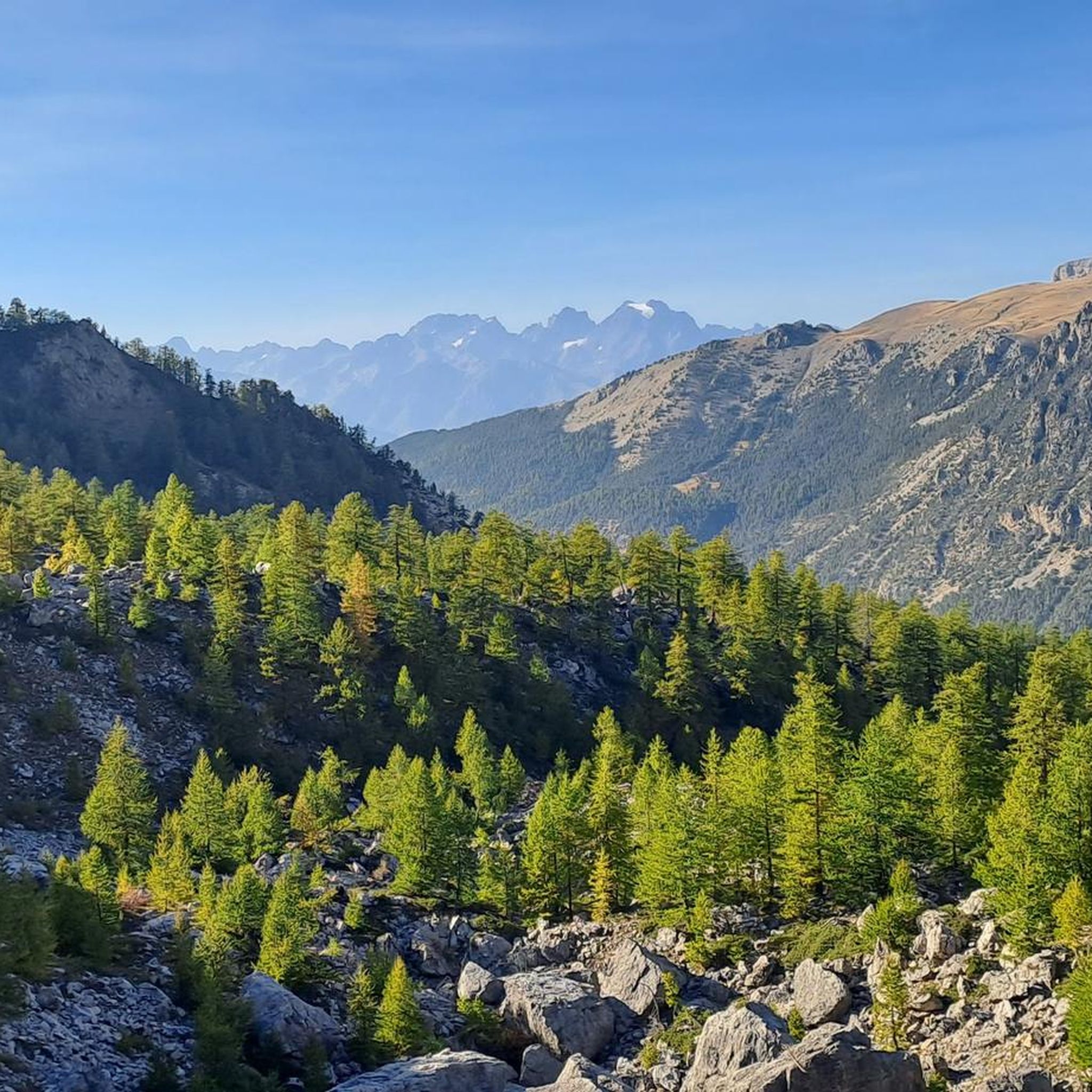
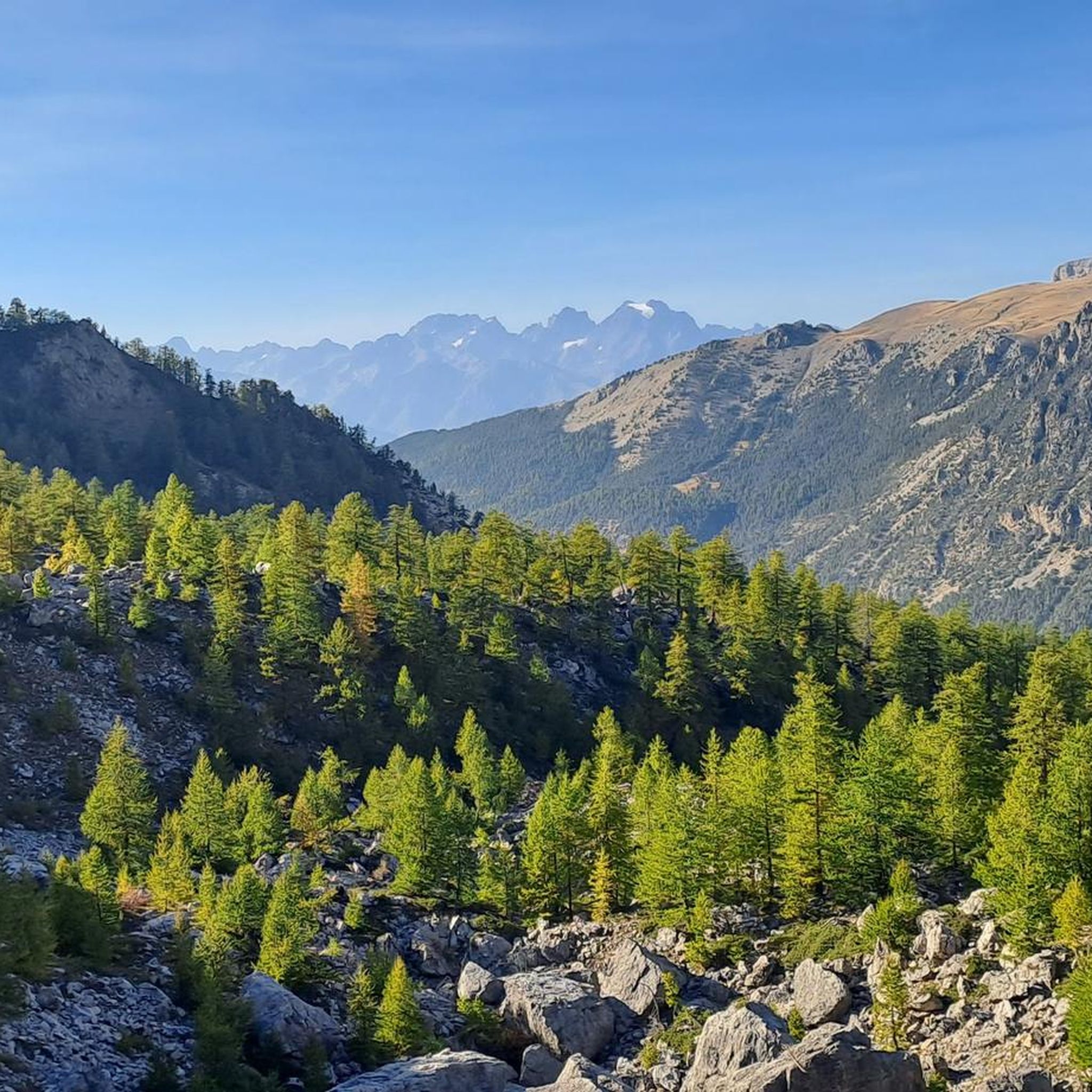
Hiking around Saint-Crépin offers diverse natural environments within the Hautes-Alpes region, blending Alpine and Provençal landscapes. The area features mountainous terrain, including access to the Écrins Mountains and the Regional Natural Park of Queyras. Prominent natural features include the Durance River valley, alpine pastures, and forests of larch and Scots pine. Hikers can explore various valleys, cascades, and unique botanical sites like the Path of Thurifer.
Best hiking trails around Saint-Crépin
- The most popular hiking route is Lake and Marmots…
Last updated: July 15, 2026
4.8
(5)
27
hikers
10.9km
03:31
480m
470m
Moderate hike. Good fitness required. Easily-accessible paths. Suitable for all skill levels.
4.5
(17)
49
hikers
11.1km
02:49
30m
30m
Moderate hike. Good fitness required. Easily-accessible paths. Suitable for all skill levels.

Sign up for free
4.8
(6)
28
hikers
6.67km
02:33
450m
450m
Moderate hike. Good fitness required. Easily-accessible paths. Suitable for all skill levels.
4.0
(3)
26
hikers
20.1km
06:43
980m
980m
Hard hike. Very good fitness required. Easily-accessible paths. Suitable for all skill levels.
5.0
(2)
16
hikers
11.2km
03:48
570m
570m
Moderate hike. Good fitness required. Easily-accessible paths. Suitable for all skill levels.
Get access to more routes and recommendations from other explorers.
Sign up for free
Already have an account?
Our route recommendations are based on thousands of hikes, rides, and runs completed by other people on komoot.
Start today with a free account
Your next adventure awaits.
Login or Signup

Tips from the Community

850 Elevation gain in the woods on paths
0
0

Beautiful landscapes on the Via Domizia
0
0

323 km long, the Durance is the most important river in Provence. From here there are beautiful views of the river and the mountains.
0
0

Great for a short break, but swimming is prohibited
0
0

This 4 hectare natural body of water is perfect for families. Surrounded by herbs, it offers the possibility of soaking up the sun or resting in the shade. Swimming is now supervised there during the summer. Many activities are present around this body of water: Canoe rental, catering, games for children, tree climbing for children, camping, many water activities. All the ingredients for a good day.
0
0
Right bank of the Durance, in Réotier, discover the spectacular Pétrifying Fountain. Here, lukewarm water cascades from a high source and flows over a large basin, creating magnificent limestone draperies of ocher color. After three years of research, the famous cosmetic brand L'Occitane en Provence launched, in the spring of 2018, an "Aqua Réotier" range concocted with water from the Pétrifying Fountain, renowned for the hydration of the skin and its rejuvenation.
0
0

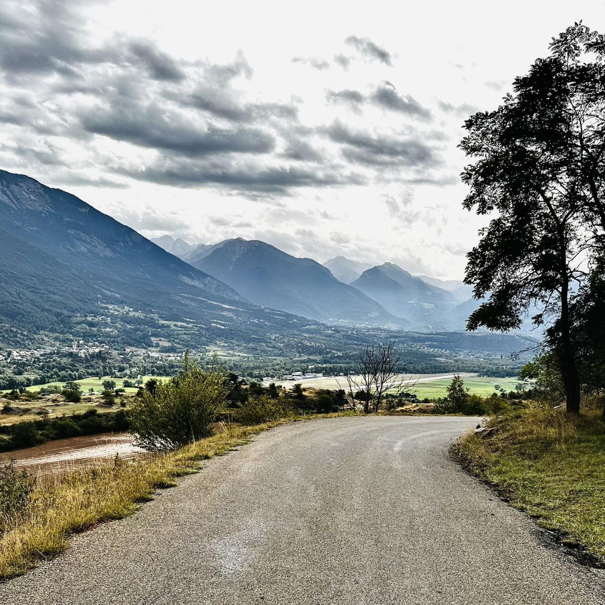
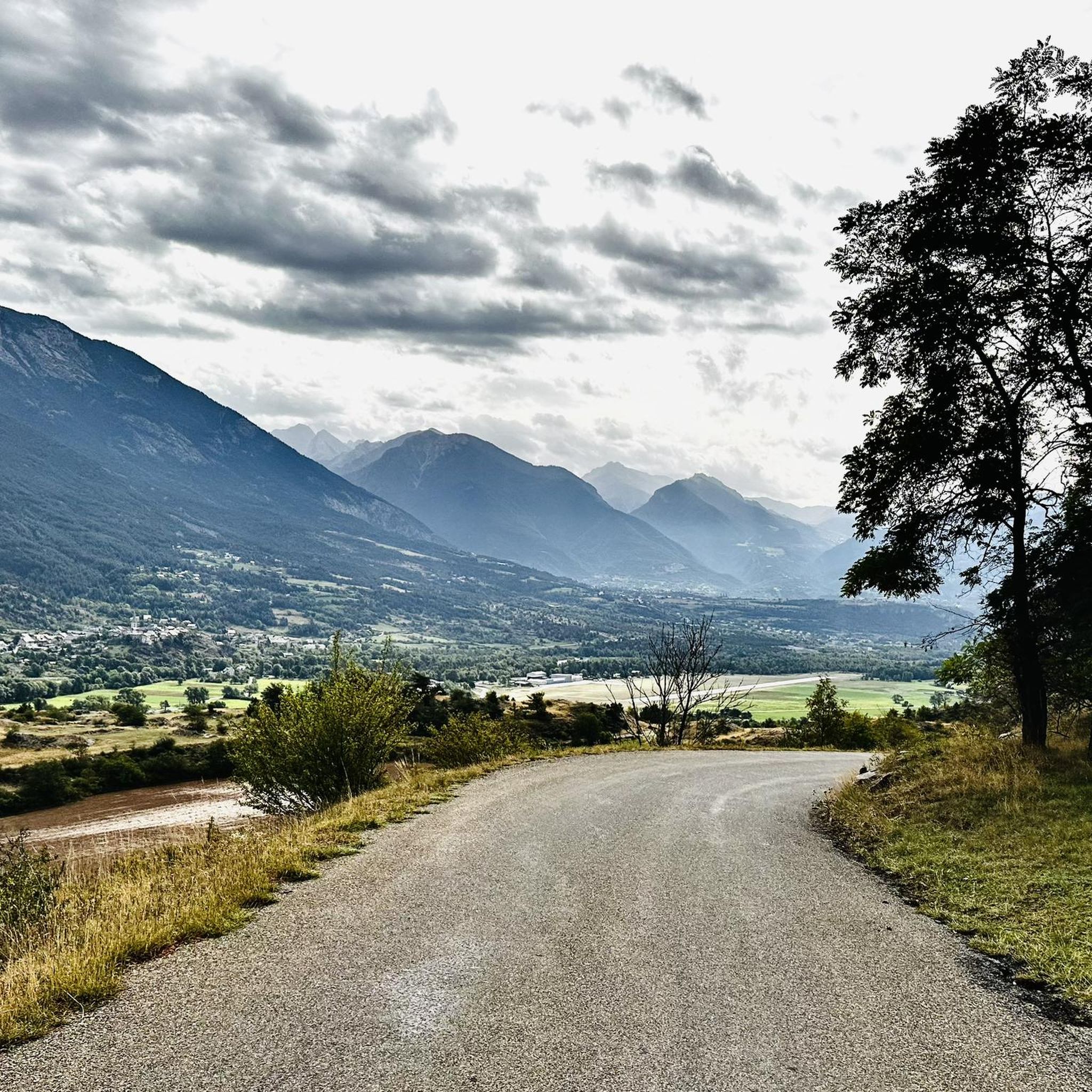
at the bend of a bend, coming out of the woods you find yourself facing a great panorama panorama
0
0
Frequently Asked Questions
What kind of landscapes can I expect to see while hiking around Saint-Crépin?
Hiking around Saint-Crépin offers a rich blend of Alpine and Provençal landscapes. You'll encounter majestic views of the Écrins Mountains, the Durance River valley, and expansive alpine pastures. The area is also characterized by dense forests of larch and Scots pine, as well as natural water features like cascades and torrents. Unique botanical sites, such as the Path of Thurifer with its ancient juniper trees, add to the diverse scenery.
Are there any easy hiking trails suitable for beginners or a relaxed walk?
Yes, Saint-Crépin offers several easy trails. For a pleasant walk with minimal elevation changes, consider options like the "French countryside loop" or "The Durance loop" mentioned in the region's general information. While specific easy routes are not detailed in the provided data, the area has 4 easy tours out of 26 total, ensuring options for all skill levels.
What are some notable natural landmarks or viewpoints to look out for?
The region is rich in natural landmarks. You can enjoy expansive views over the Durance valley from the Champcella balcony. Other intriguing natural sites include a pink marble quarry, the Barrachin site, and the spectacular Pétrifying Fountain of Réotier. For stunning mountain vistas, highlights like Risoul offer excellent viewpoints.
Are there any circular hiking routes available in Saint-Crépin?
Yes, Saint-Crépin features several circular routes. A popular moderate option is the Lake and Marmots – Possible bivouac place loop from Moussière, which is 10.9 km long and takes about 3 hours 31 minutes. Another moderate loop is the Eygliers Lake – The Durance loop from Saint-Crépin, covering 11.0 km.
Can I find any challenging hikes with significant elevation gain?
Absolutely. For those seeking a more strenuous adventure, the Lake and Marmots – Possible bivouac place loop from Saint-Crépin is a difficult 20.1 km trail with nearly 980 meters of elevation gain, offering a substantial challenge and rewarding views.
What do other hikers say about the trails in Saint-Crépin?
The trails in Saint-Crépin are highly regarded by the komoot community, holding an average rating of 4.6 stars from over 760 reviews. Hikers often praise the diverse terrain, from river valleys to alpine lakes, and the opportunities for wildlife sightings, especially marmots on certain routes.
Are there any long-distance hiking trails that pass through or near Saint-Crépin?
Yes, Saint-Crépin is a strategic point for long-distance hikers. Sections of renowned routes such as the GR® 653D (Via Domitia), GR® 541, and GR® 50 traverse the area. Even the demanding Hannibal Trek Alpine crossing passes through this region, offering extensive trekking opportunities.
What kind of wildlife might I encounter on the trails?
The region's diverse natural environment supports various wildlife. On trails like the Lake and Marmots – Possible bivouac place loop from Moussière, you have a good chance of spotting marmots. The alpine pastures and forests are home to a range of species typical of the Hautes-Alpes, though specific animal sightings can vary.
Are there any trails that feature lakes or water bodies?
Yes, several trails offer beautiful views of lakes and rivers. The Eygliers Lake – The Durance loop from Saint-Crépin explores the scenic Durance River valley and Eygliers Lake. Additionally, the tranquil Lauzet Lake is known for its picturesque reflections of the Écrins peaks, providing a serene spot for hikers.
What is the best time of year to go hiking in Saint-Crépin?
The best time for hiking in Saint-Crépin is generally from late spring to early autumn (May to October), when the weather is mild, and the trails are clear of snow. This period allows access to higher alpine areas and offers vibrant flora, especially in the alpages. Some lower elevation trails may be accessible earlier or later in the season.
Are there any trails that lead to historical sites or castles?
While the focus is on natural beauty, the region does have historical elements. The val de Freissinières is historically rich. For a specific landmark, you might find trails that offer views of or pass near Lebrun Castle, adding a touch of history to your outdoor adventure.
How many hiking routes are there in total around Saint-Crépin?
There are over 25 hiking routes available around Saint-Crépin, catering to various skill levels. This includes 4 easy routes, 20 moderate routes, and 2 difficult routes, ensuring a wide range of options for every hiker.
Most popular routes around Saint-Crépin
Most popular attractions around Saint-Crépin

Get inspired with the komoot mobile app


Explore more
Browse the best Hikes in other regions.
