The best cycling routes around Saint-Crépin
4.6
(300)
7,717
riders
10
rides
Touring cycling routes around Saint-Crépin traverse the diverse landscapes of the Hautes-Alpes, bordering the Queyras Regional Natural Park. The region features a mix of high-altitude valleys, deep gorges, and larch forests, with the Durance River flowing through its valley. Cyclists encounter varied terrain, from challenging mountain passes to more gentle riverside paths, all set against a backdrop of numerous mountain peaks.
Best touring cycling routes around Saint-Crépin
- The most popular touring cycling route is Byasse Waterfall – Dormillouse loop from…
Last updated: October 4, 2026
5.0
(1)
37
riders
35.2km
02:31
660m
660m
Hard bike ride. Very good fitness required. Mostly paved surfaces. Suitable for all skill levels.
5.0
(1)
13
riders
36.2km
02:35
500m
500m
Hard bike ride. Very good fitness required. Mostly paved surfaces. Suitable for all skill levels.

11
riders
14.0km
01:00
90m
90m
Easy bike ride. Great for any fitness level. Mostly paved surfaces. Suitable for all skill levels.
5.0
(1)
15
riders
Moderate bike ride. Good fitness required. Mostly paved surfaces. Suitable for all skill levels.
12
riders
12.9km
00:50
150m
150m
Moderate bike ride. Good fitness required. Mostly paved surfaces. Suitable for all skill levels.
Get access to more routes and recommendations from other explorers.
Already have an account?
Our route recommendations are based on thousands of hikes, rides, and runs completed by other people on komoot.
Start today with a free account
Your next adventure awaits.
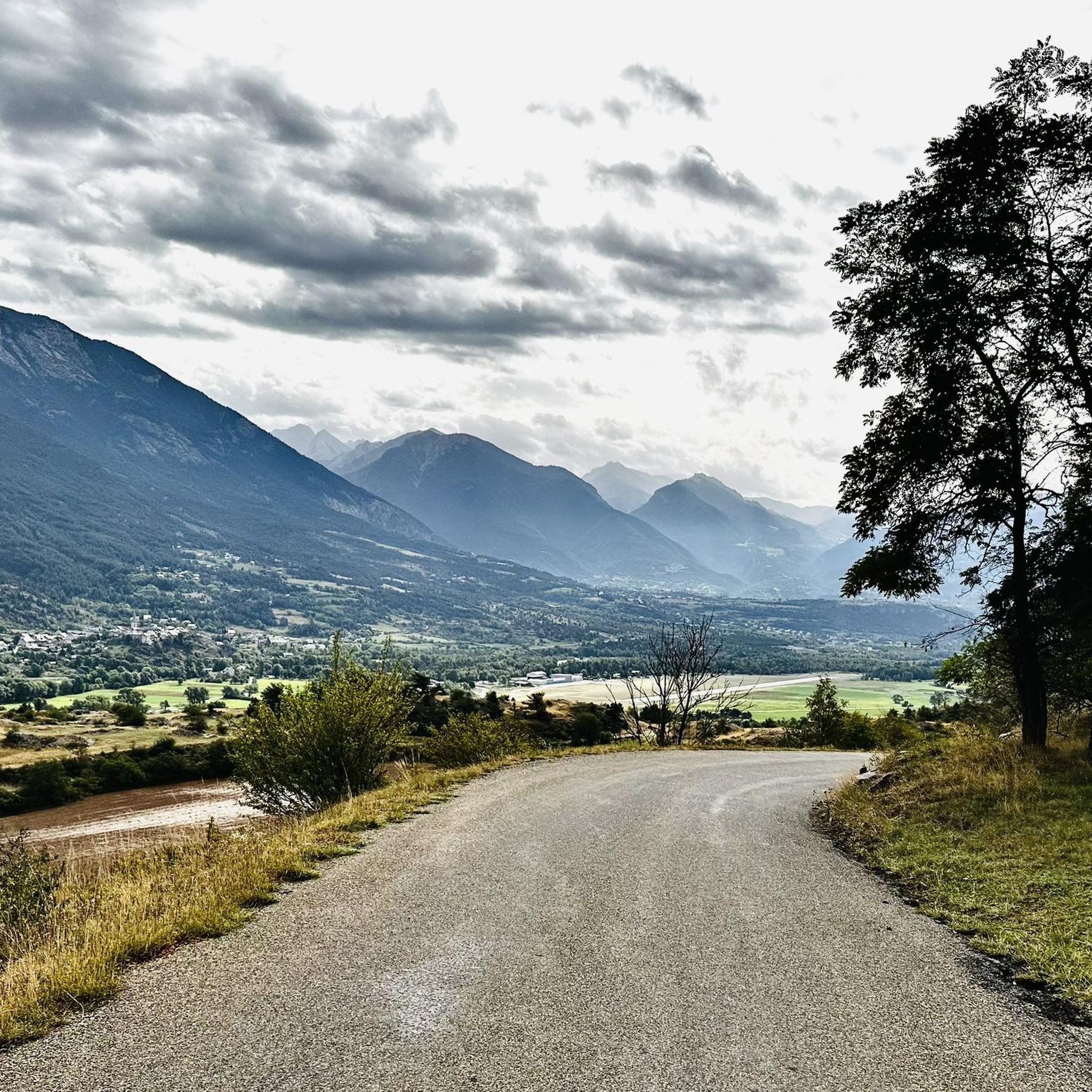
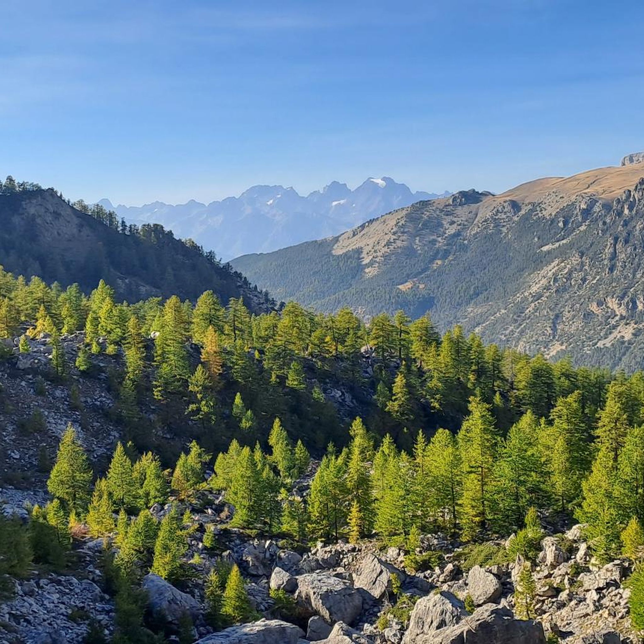
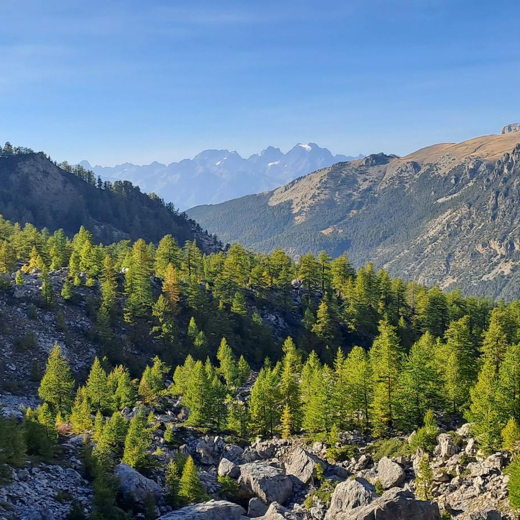
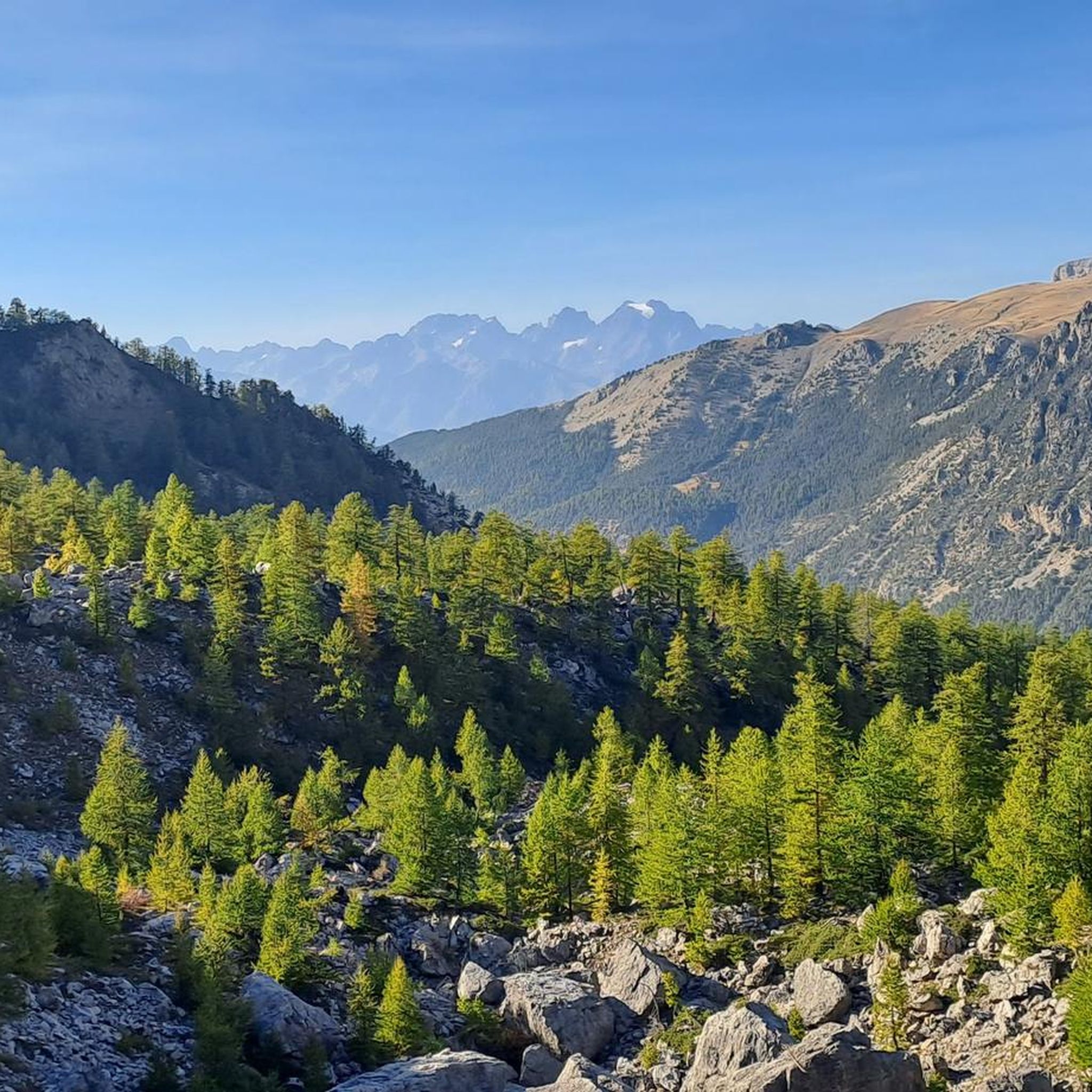

Tips from the Community

beautiful swimming lake, ideal on hot summer days after a nice bike or hike
0
0

there is a campsite, beautifully located on the river Durance
0
0

The lake's south beach is supervised every day from 12:00 p.m. to 7:00 p.m. until Sunday, August 31, 2025 inclusive.
0
0

Very nice little artificial lake.
20
0

After a tough climb, the reward is a wide view of the valley below and an orientation table.
0
0

In addition to picnic tables and a green area, there is water, power outlets and a roof
1
0
In addition to picnic tables and a green area, there is water, power outlets and a roof
0
0

To be visited via the white road that runs at the foot of Mont Dauphin
0
0
Frequently Asked Questions
How many touring cycling routes are available around Saint-Crépin?
There are 12 touring cycling routes around Saint-Crépin, offering diverse experiences for cyclists. These routes are highly rated by the komoot community, with an average score of 4.5 stars.
What are the difficulty levels of touring cycling routes in Saint-Crépin?
The routes around Saint-Crépin cater to various fitness levels. You'll find 2 easy routes, 4 moderate routes, and 6 difficult routes, ensuring options for beginners to experienced cyclists.
What kind of terrain can I expect on touring cycling routes near Saint-Crépin?
The terrain is incredibly diverse, ranging from high-altitude valleys and deep gorges to larch forests. You'll cycle along the Durance River, encounter numerous mountain peaks and passes, and experience both challenging climbs and more gentle paths. The region borders the Queyras Regional Natural Park, known for its unspoiled Alpine nature.
What natural features or landmarks can I see along the touring cycling routes?
Many routes offer stunning views of natural features and landmarks. You might encounter the dramatic Gorges of the Guil, the unique geological site of La Casse Déserte, or traverse mountain passes like Tronchet Pass. Some routes also pass by historical sites such as Lebrun Castle or offer panoramic views from Risoul.
Are there any circular touring cycling routes around Saint-Crépin?
Yes, many of the touring cycling routes around Saint-Crépin are designed as loops, allowing you to start and finish in the same location. For example, the Byasse Waterfall – Dormillouse loop from Saint-Crépin is a popular option, as is the The Eygliers Tower – Vars Sainte-Marie loop from Saint-Crépin.
Are there easy touring cycling routes suitable for beginners or families?
Absolutely. While many routes involve significant elevation, there are 2 easy routes available. For instance, the Eygliers Lake – Le Guil loop from Mont-Dauphin is an easy 14 km ride with minimal elevation gain, perfect for a more relaxed outing or families.
What is the best time of year for touring cycling in Saint-Crépin?
Saint-Crépin benefits from around 300 days of sunshine per year, making it ideal for outdoor activities. Spring and autumn offer pleasant temperatures and vibrant scenery, while summer provides long daylight hours. Always check local weather conditions, especially for high-altitude routes, as conditions can change rapidly in mountainous regions.
What do other touring cyclists say about the routes in Saint-Crépin?
The touring cycling routes in Saint-Crépin are highly regarded by the komoot community, with an average rating of 4.5 out of 5 stars from over 200 reviews. More than 6,000 touring cyclists have used komoot to explore the area, often praising the diverse landscapes, challenging climbs, and stunning views of the Queyras Regional Natural Park and Durance Valley.
Are there any routes that feature lakes or water bodies?
Yes, several routes incorporate the beautiful Eygliers Lake. For example, the Eygliers Lake – Eygliers Lake loop from Saint-Crépin takes you through varied terrain around the lake, offering picturesque views and a refreshing experience.
Can I find routes that pass through the Guil Gorges?
Yes, the dramatic Guil Gorges are a notable feature in the region. The Eygliers Lake – Guil Gorges loop from Saint-Crépin is a challenging route that allows you to experience the vertiginous walls and stunning scenery of the gorges.
Are there challenging routes for experienced touring cyclists?
Definitely. Saint-Crépin is known for its challenging terrain and proximity to iconic passes. With 6 difficult routes, experienced cyclists can find plenty to test their limits. These routes often feature significant elevation gains and traverse mountainous landscapes, some even touching on passes famous from the Tour de France.
Most popular routes around Saint-Crépin
Most popular attractions around Saint-Crépin

Get inspired with the komoot mobile app


Explore more
Browse the best Cycling routes in other regions.
