The best walks and hikes around Attignat-Oncin
4.5
(1298)
9,734
hikers
13
hikes
Hiking around Attignat-Oncin, a commune in the Savoie department of the Auvergne-Rhône-Alpes region of France, offers diverse landscapes for outdoor enthusiasts. The area is characterized by forests, agricultural lands, and is part of the Chartreuse Regional Natural Park. Prominent features include the Mont Grelle peak and its location on the western slopes of the Chain of l'Épine, providing varied elevation and terrain.
Best hiking trails around Attignat-Oncin
- The most popular hiking route is Mont Grelle Summit (1,425 m) – Mont…
Last updated: August 25, 2026
4.6
(37)
329
hikers
19.4km
08:20
1,340m
1,340m
Hard hike. Very good fitness required. Sure-footedness, sturdy shoes and alpine experience required.
4.7
(33)
236
hikers
13.3km
05:29
850m
850m
Hard hike. Very good fitness required. Sure-footedness, sturdy shoes and alpine experience required.

Sign up for free
4.3
(6)
14
hikers
6.17km
02:04
290m
290m
Moderate hike. Good fitness required. Easily-accessible paths. Suitable for all skill levels.
4.5
(6)
22
hikers
7.50km
02:44
400m
400m
Hard hike. Good fitness required. Sure-footedness, sturdy shoes and alpine experience required.
5.0
(2)
7
hikers
4.40km
01:34
260m
270m
Easy hike. Great for any fitness level. Easily-accessible paths. Suitable for all skill levels.
Get access to more routes and recommendations from other explorers.
Sign up for free
Already have an account?
Our route recommendations are based on thousands of hikes, rides, and runs completed by other people on komoot.
Start today with a free account
Your next adventure awaits.
Login or Signup
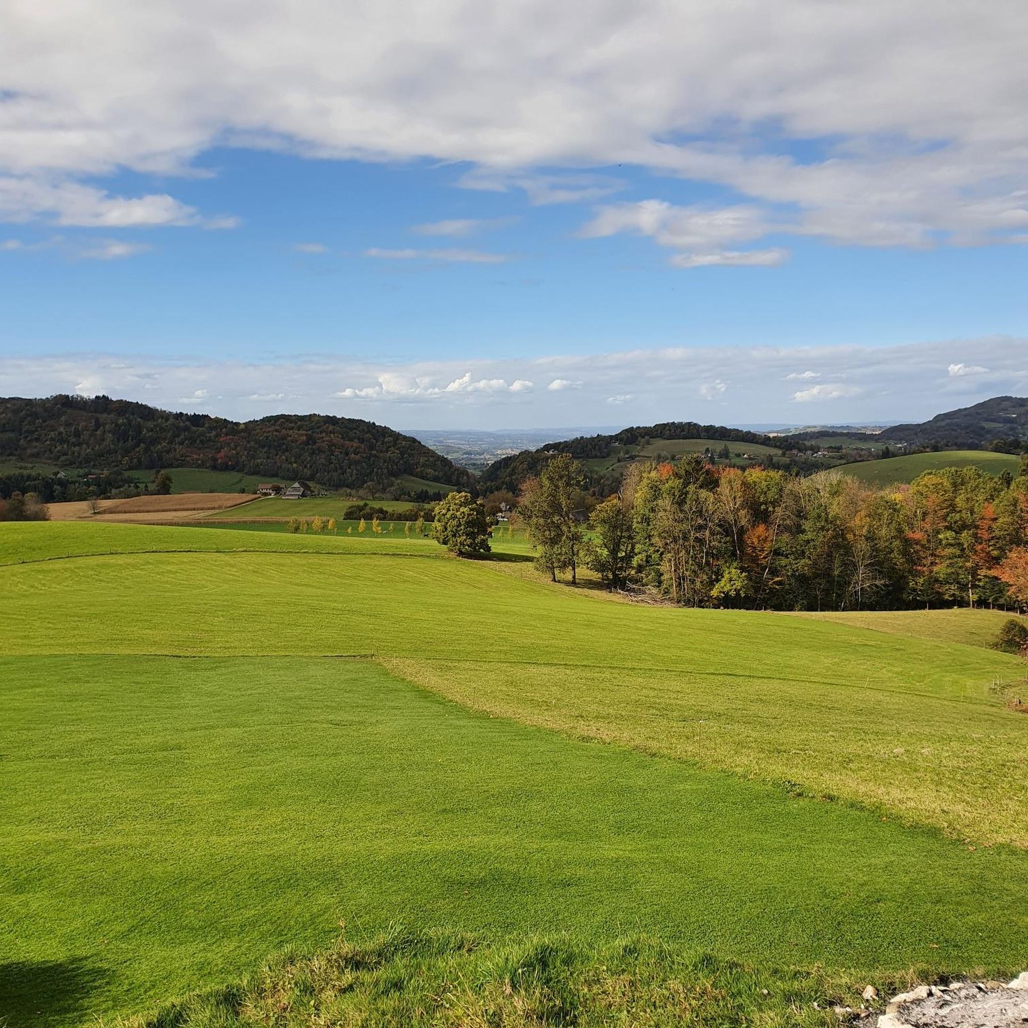
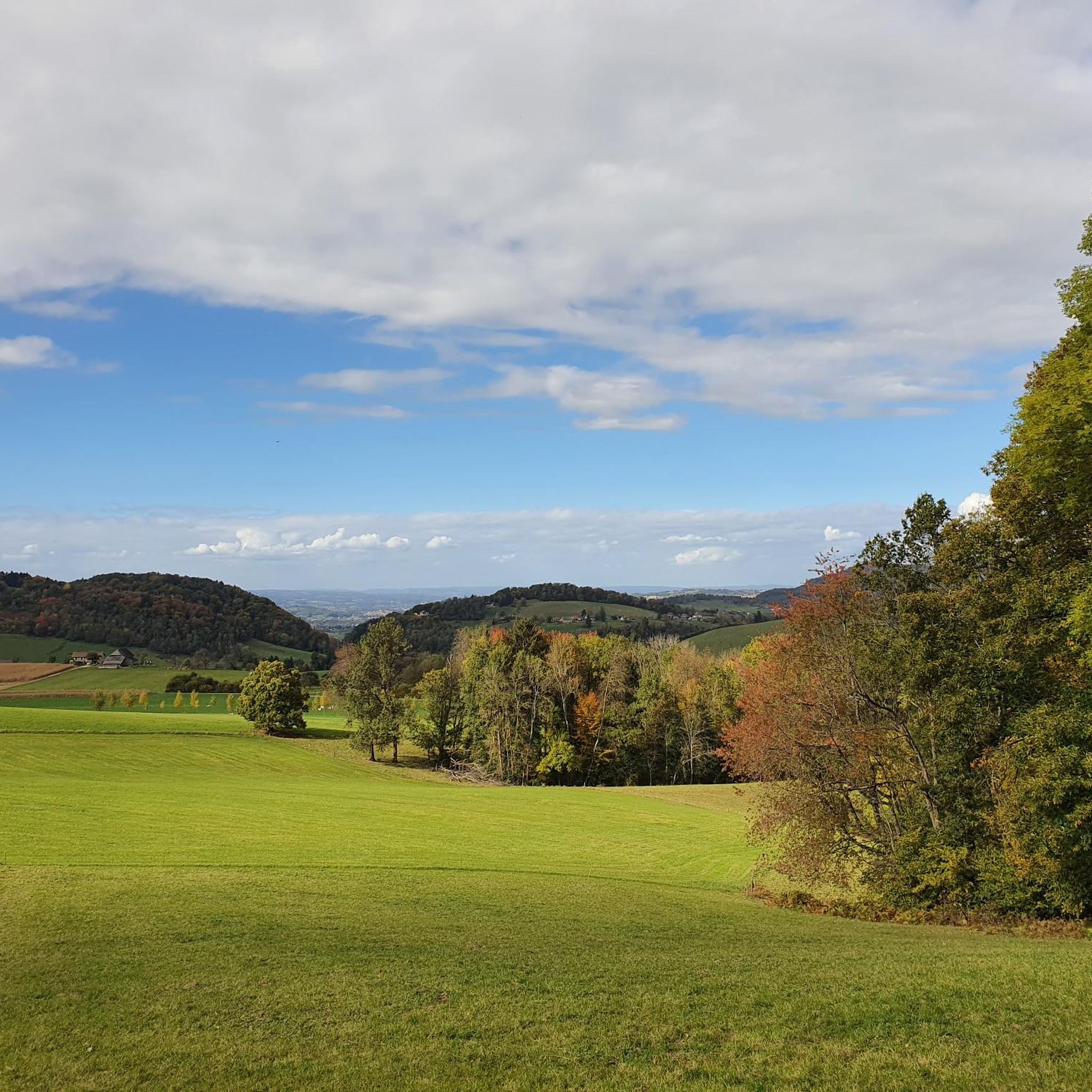
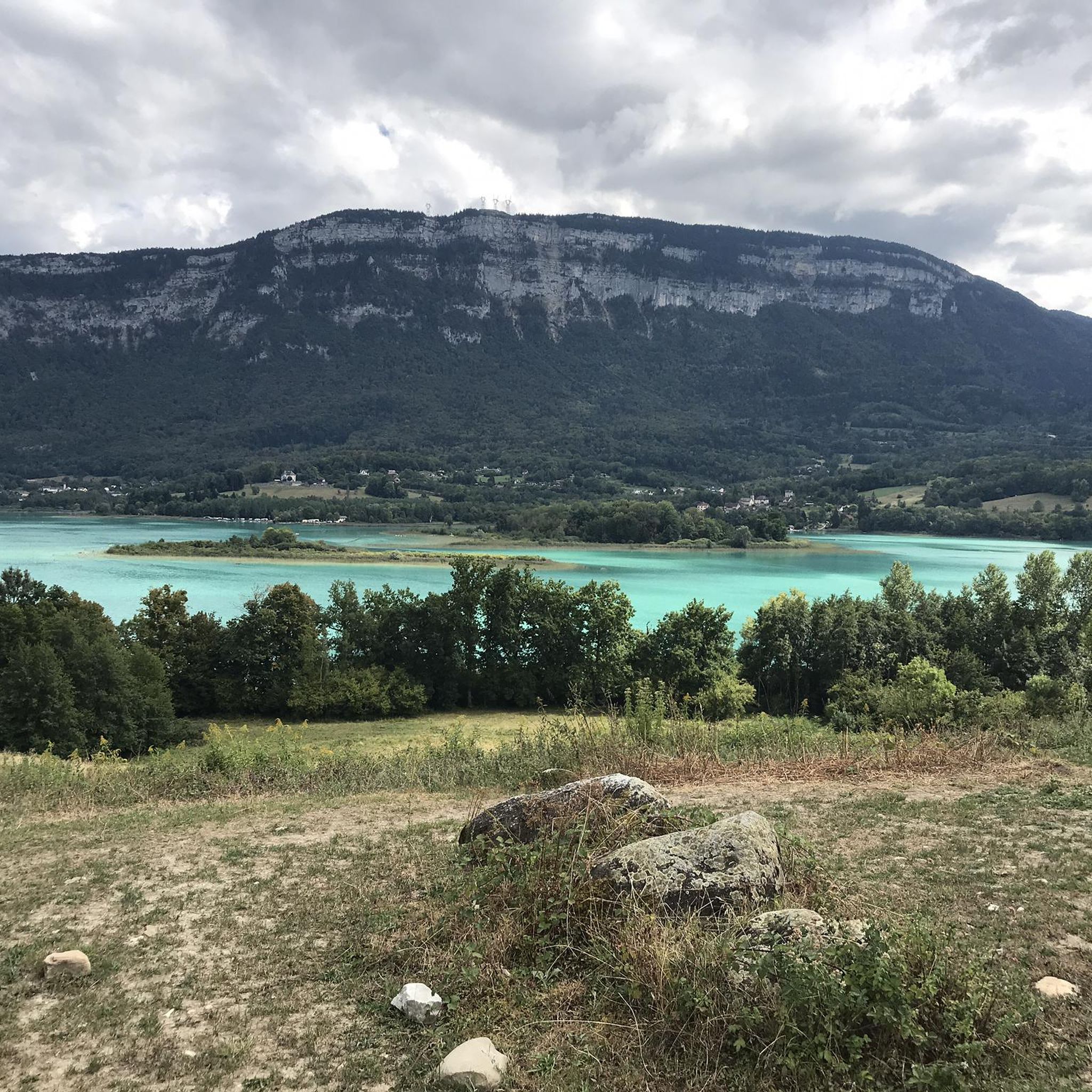
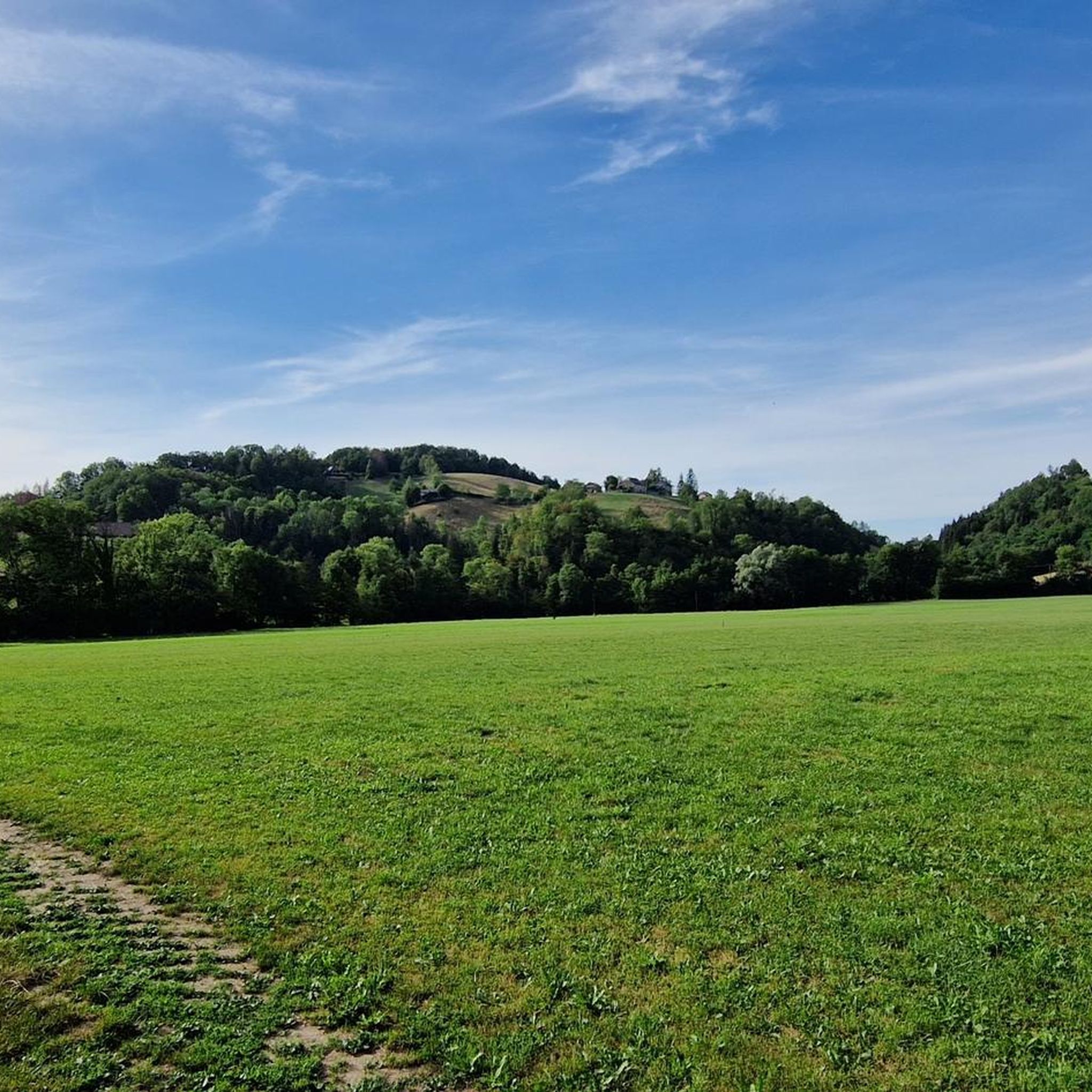

Tips from the Community

Very beautiful view of the 2 lakes 👌
0
0

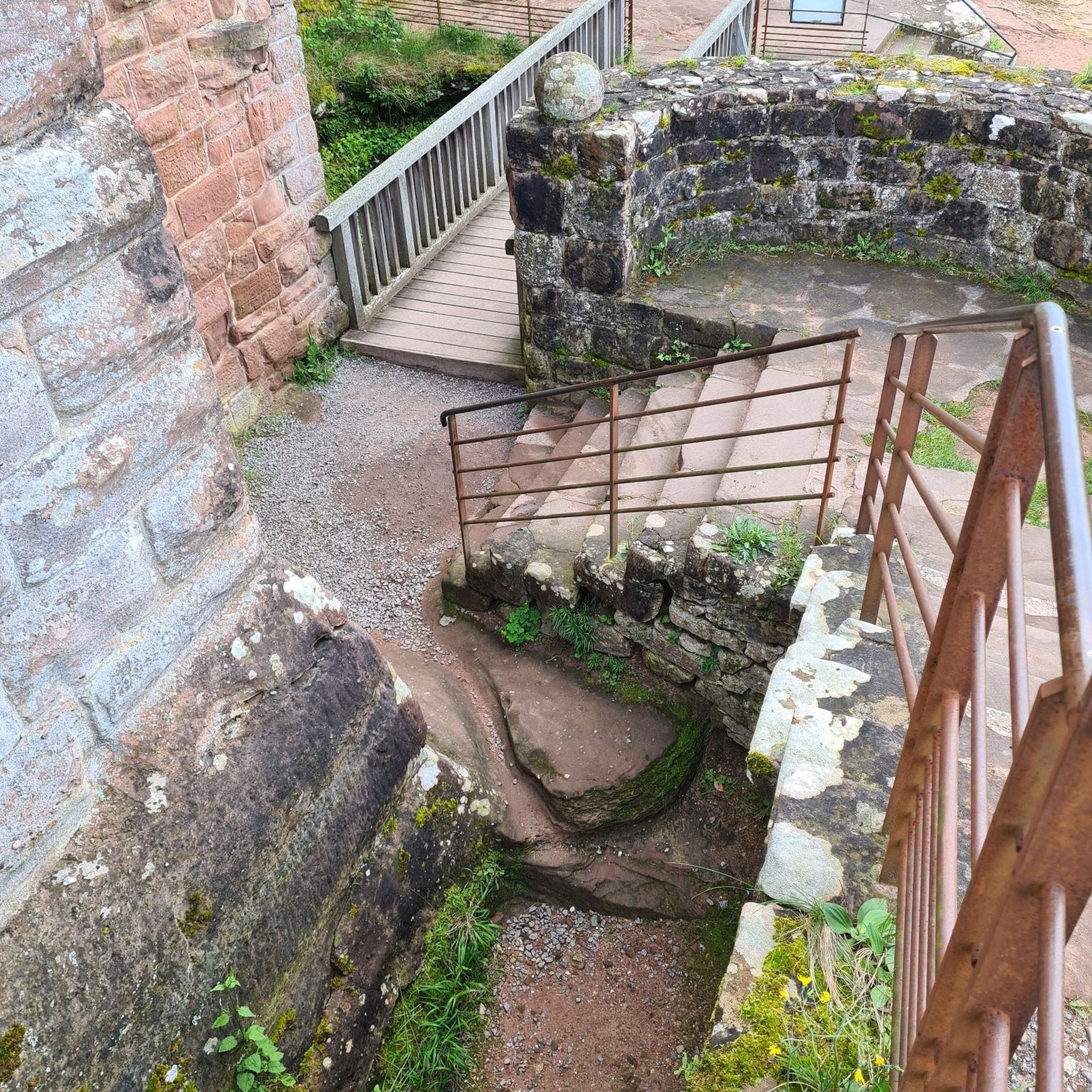
In 1516, the King came to Chambéry for the Holy Shroud at the beginning of his reign. On the way back, the King and his court were caught in a violent storm… The only protection they found was this shelter under a rock for the night.
1
0
One of the most beautiful views I have ever seen, breathtaking view of Lake Aiguebelette, MAGNIFICENT.
2
0
Large waterfall on the ascent of Mont Grelle or Beauvoir
0
0
Summit of Mont Grelle, highest point, at 1425 m altitude.
1
0
A fun rock that has been decorated to make a head.
1
0
Beautiful huge cliffs in Mont Grelle.
0
0

Shaded hike with a nice view of Lake Aiguebelette.
1
1
Frequently Asked Questions
How many hiking trails are available around Attignat-Oncin?
Attignat-Oncin offers a good selection of routes for hikers. There are over 10 hiking trails available, ranging from easy strolls to more challenging mountain ascents.
What kind of terrain can I expect on hikes in Attignat-Oncin?
The terrain around Attignat-Oncin is diverse, characterized by dense forests, agricultural areas, and prominent mountain peaks. You'll find paths traversing the western slopes of the Chain of l'Épine, including ascents to Mont Grelle, offering varied elevation and scenic views.
What do other hikers enjoy most about the trails in Attignat-Oncin?
The hiking routes in Attignat-Oncin are highly rated by the komoot community, with an average score of 4.5 stars from over 1100 reviews. Hikers often praise the quiet woodlands, the challenging ascents, and the superb panoramic views, especially over Lake Aiguebelette.
Are there any hikes with waterfalls in Attignat-Oncin?
Yes, Attignat-Oncin features trails with beautiful waterfalls. You can explore the Cabin on a hill – Cascade loop from Attignat-Oncin, which includes a waterfall, or the Pissoire Waterfall loop from Attignat-Oncin. Additionally, the nearby Grenand Gorges are renowned for their waterfalls and fluvial erosion, accessible via paths like "La combe du Grenand".
Where can I find hikes with panoramic viewpoints?
For breathtaking panoramic views, consider hiking to Mont Grelle, the highest point of Attignat-Oncin. The Mont Grêle Viewpoint offers superb vistas over Lake Aiguebelette and the Avant-Pays region. Other notable viewpoints include Mont Beauvoir and the Col de l'Épine, which also provide stunning perspectives of the lake, Chambéry, and the Bauges massif.
Are there any circular hiking routes in the area?
Yes, many of the trails around Attignat-Oncin are designed as circular routes, allowing you to start and end at the same point. Examples include the challenging Mont Grelle Summit (1,425 m) – Mont Grêle Viewpoint loop and the moderate Cabin on a hill – Cascade loop.
What are some notable natural features or landmarks to explore near Attignat-Oncin?
Attignat-Oncin is rich in natural beauty. Beyond the prominent Mont Grelle, you can explore the dramatic Grenand Gorges and Canyon, known for canyoning and scenic paths. The area is also close to Lac d'Aiguebelette, offering water sports and lakeside enjoyment. Several mountain passes, such as Épine Pass and Granier Pass, are also nearby.
Are there family-friendly hiking options in Attignat-Oncin?
While some routes are challenging, there are moderate options suitable for families. For instance, the Cabin on a hill – Cascade loop from Attignat-Oncin is a moderate 3.8-mile path that takes about 2 hours, offering an enjoyable experience for active families.
Is it possible to hike in Attignat-Oncin during winter?
Winter hiking in Attignat-Oncin is possible, especially on lower elevation trails. However, higher peaks like Mont Grelle may require snowshoes or specialized equipment due to snow and ice. Always check local weather conditions and trail reports before heading out in winter.
Are there any easy hiking routes for beginners?
Yes, Attignat-Oncin offers some easier routes. While many trails are moderate to difficult, you can find shorter, less strenuous paths that are ideal for beginners or those looking for a relaxed walk. Look for routes with minimal elevation gain and shorter distances.
Where can I find parking for hiking trails in Attignat-Oncin?
Parking is generally available at the start points of many popular hiking trails in and around Attignat-Oncin. Specific parking information is often provided on individual route descriptions on komoot. For example, the Bagné Car Park loop from La Bridoire indicates a starting point with parking.
What is the best time of year to go hiking in Attignat-Oncin?
The best time to hike in Attignat-Oncin is typically from spring to autumn (April to October). During these months, the weather is generally mild, and the trails are clear of snow, offering ideal conditions for exploring the diverse landscapes and enjoying the panoramic views.
Most popular routes around Attignat-Oncin
Most popular attractions around Attignat-Oncin

Get inspired with the komoot mobile app


Explore more
Browse the best Hikes in other regions.
