The best walks and hikes around Avressieux
4.4
(1196)
6,972
hikers
206
hikes
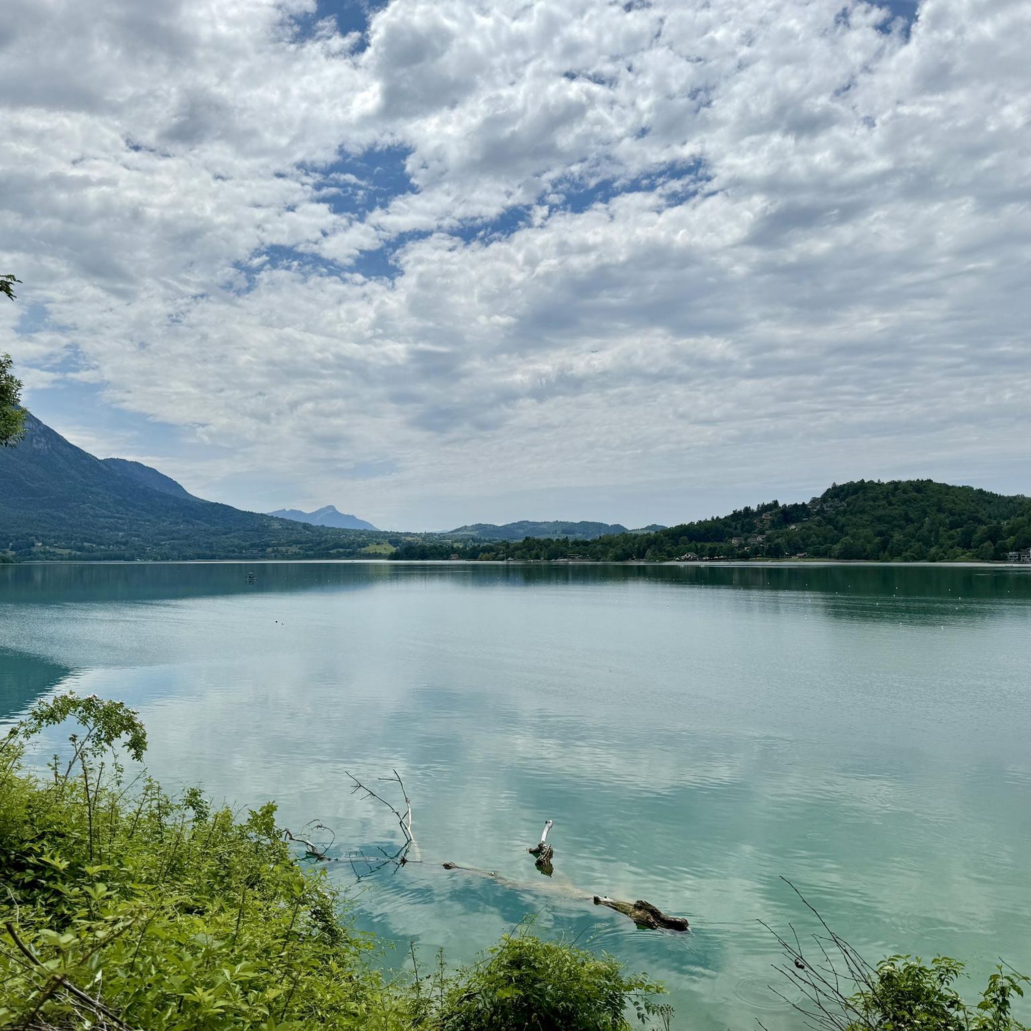
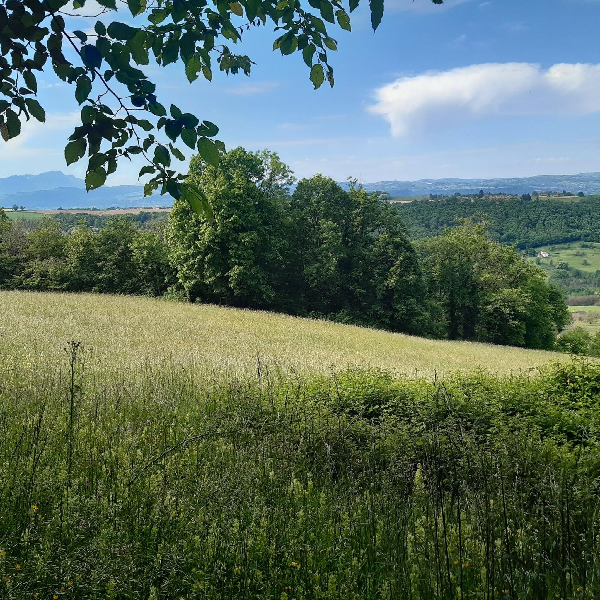
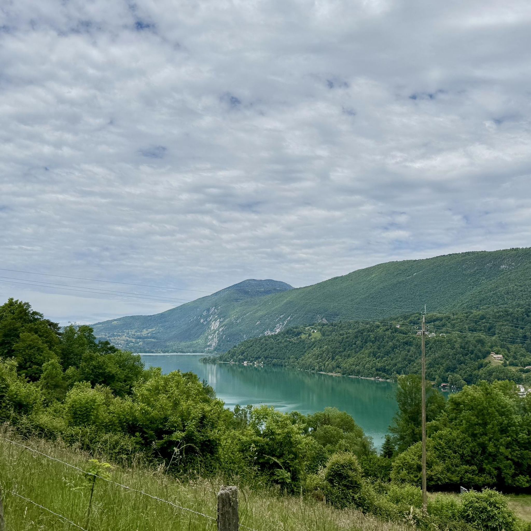
Hiking around Avressieux, located in the Savoie department of the Auvergne-Rhône-Alpes region, offers diverse landscapes for outdoor enthusiasts. The area is characterized by its proximity to the Chartreuse Regional Natural Park, featuring limestone cliffs, expansive forests, and alpine meadows. Trails often lead through varied terrain, from dense woodlands to open areas, with views of the French Pre-Alps and nearby Lac d'Aiguebelette. This region provides a network of paths suitable for exploring its natural features.
Best hiking trails around Avressieux
- The…
Last updated: August 25, 2026
4.1
(7)
97
hikers
6.24km
01:54
210m
210m
Moderate hike. Great for any fitness level. Mostly accessible paths. Sure-footedness required.
4.2
(9)
104
hikers
7.68km
02:12
190m
200m
Moderate hike. Good fitness required. Easily-accessible paths. Suitable for all skill levels.

Sign up for free
5.0
(4)
30
hikers
11.0km
03:21
370m
370m
Moderate hike. Good fitness required. Mostly accessible paths. Sure-footedness required.
8
hikers
10.2km
03:00
290m
290m
Moderate hike. Good fitness required. Mostly accessible paths. Sure-footedness required.
5.0
(1)
6
hikers
2.68km
00:48
70m
70m
Easy hike. Great for any fitness level. Easily-accessible paths. Suitable for all skill levels.
Get access to more routes and recommendations from other explorers.
Sign up for free
Already have an account?
Our route recommendations are based on thousands of hikes, rides, and runs completed by other people on komoot.
Start today with a free account
Your next adventure awaits.
Login or Signup

Tips from the Community

Just behind the waterfall, very pretty stone bridge
0
0


Pass located at an altitude of 573 m, to be climbed from Saint-Genix-sur-Guiers or Novalaise.
1
0
The Col du Banchet is a mountain pass located at an altitude of 590 m in the Mont Tournier range, south of the Jura massif, in the Savoyard Avant-Pays, in the Savoie department.
1
0

From Rochefort, the Col du Banchet climbs in a bend with a fairly steep passage on the first part. The view rewards the efforts made to get there.
1
0


A nice road to pass. By this pass on the other hand, in winter it does not seem to be cleared of snow. With a mountain bike it's hot, on the road it's dead.
0
0

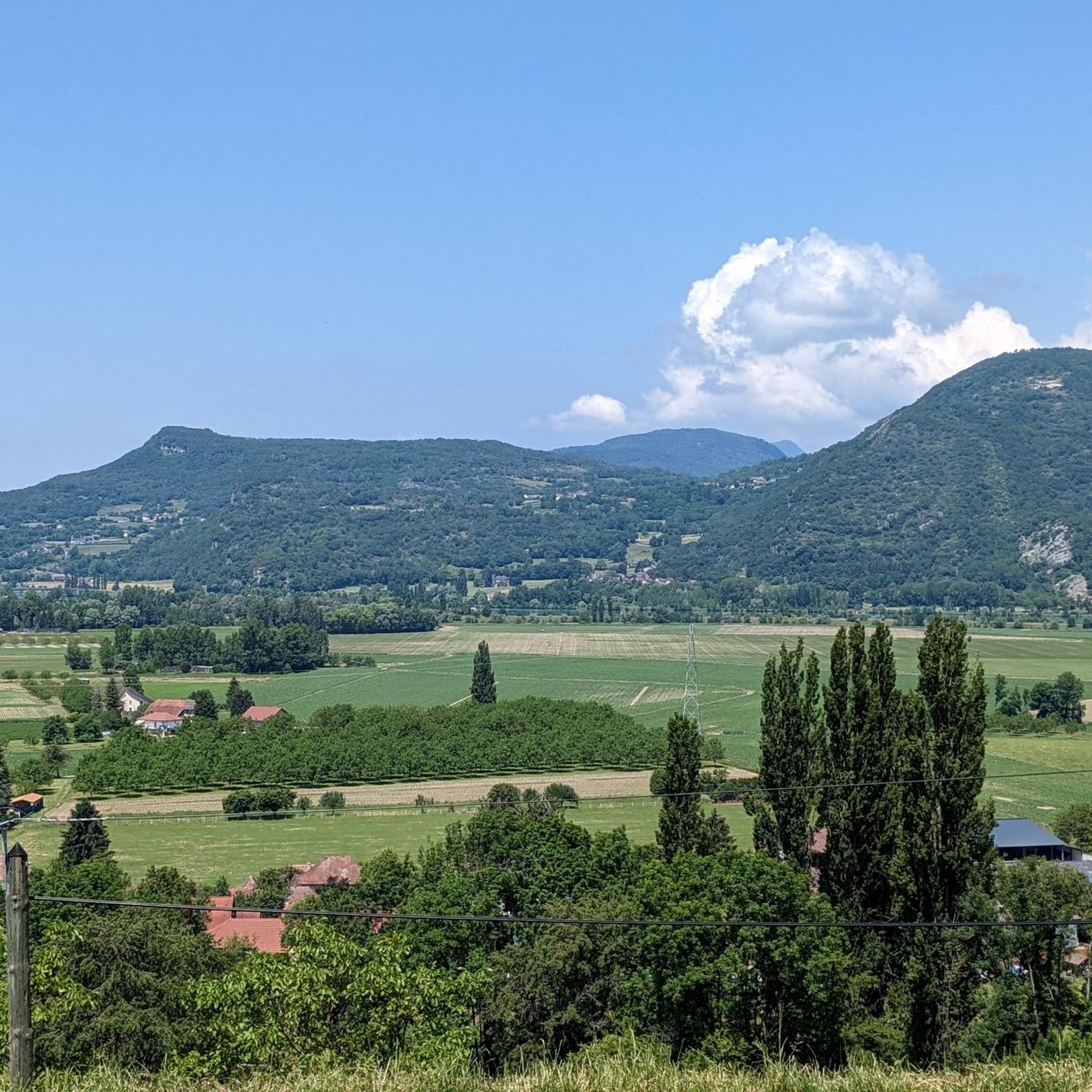
Very nice view over the valley.
0
0
Frequently Asked Questions
How many hiking trails are available around Avressieux?
There are over 200 hiking routes around Avressieux, catering to various skill levels. You'll find a wide selection of trails, from easy walks to more challenging mountain treks, allowing you to explore the diverse landscapes of the Savoie region.
What kind of terrain can I expect on hikes near Avressieux?
The terrain around Avressieux is quite varied. You can expect paths through extensive forests, open alpine meadows, and areas with limestone cliffs, especially as you approach the Chartreuse Regional Natural Park. Trails can range from gentle forest paths to more strenuous climbs over rocky sections, offering constantly changing scenery.
Are there family-friendly hiking options in Avressieux?
Yes, Avressieux offers several easy routes suitable for families. For instance, the Dullin Church – La Pierre a Coppet loop from Dullin is an easy 6.8 km path that combines forest sections with open views. Another good option is the Dullin Church – Grand Bic Viewpoint loop from Dullin, a 4.5 km trail through woodlands to a scenic viewpoint.
Can I hike with my dog around Avressieux?
Many trails around Avressieux are dog-friendly, especially those through forests and open countryside. However, always keep your dog under control, particularly in areas where livestock might be present or within the Chartreuse Regional Natural Park, where specific regulations may apply to protect wildlife. It's advisable to check local signage.
What natural features or landmarks can I see along the trails?
Hiking around Avressieux offers views of stunning natural features. You'll often encounter extensive forests and can enjoy vistas of the French Pre-Alps and the beautiful Lac d'Aiguebelette. The region is also close to the Chartreuse Regional Natural Park, known for its limestone cliffs. Notable mountain passes like Épine Pass and Col du Banchet are also accessible.
Are there circular hiking routes available?
Yes, many of the trails around Avressieux are designed as circular routes, allowing you to start and end in the same location. Examples include the Banchet Climbing Rock loop from Dullin and the Grand Bic Viewpoint – Col du Banchet loop from Dullin, which offers a longer, moderate challenge.
What is the best time of year to go hiking in Avressieux?
The best time for hiking in Avressieux is generally from spring to autumn. Spring brings vibrant wildflowers and pleasant temperatures, while autumn offers beautiful foliage. Summer is also popular, though some higher-altitude trails in the Chartreuse massif might be more demanding in the heat. Winter hiking is possible but requires appropriate gear and awareness of snow conditions, especially at higher elevations.
What kind of elevation gain can I expect on hikes in this area?
Elevation gain varies significantly depending on the trail. Easier routes, like the Dullin Church – La Pierre a Coppet loop, have a modest gain of around 165 meters. Moderate trails, such as the Banchet Climbing Rock loop, can involve around 200 meters of ascent. More challenging routes in the nearby Chartreuse massif will feature significantly higher elevation gains, sometimes exceeding 900 meters on peaks like Mont Granier.
What do other hikers enjoy most about the trails in Avressieux?
The hiking trails around Avressieux are highly rated by the komoot community, with an average score of 4.4 stars from over 1,000 reviews. Hikers often praise the diverse landscapes, from quiet woodlands to scenic viewpoints overlooking Lac d'Aiguebelette and the Pre-Alps. The well-maintained paths and variety of difficulty levels also contribute to a positive experience.
Are there any challenging hikes for experienced trekkers?
While many local trails are easy to moderate, experienced trekkers can find more challenging options, particularly within the nearby Chartreuse Regional Natural Park. Peaks like Mont Granier offer demanding routes with significant elevation gain and rugged terrain, sometimes including passages with ladders and handrails. The Grand Bic Viewpoint – Col du Banchet loop from Dullin is a moderate 11 km trail with over 370 meters of ascent, providing a good step up in challenge.
Where can I find parking for hiking trails near Avressieux?
Many trailheads around Avressieux, especially in villages like Dullin and Ayn, offer designated parking areas for hikers. For example, routes starting from Dullin, such as the Banchet Climbing Rock – Grand Bic Viewpoint loop from Ayn, typically have convenient parking nearby. It's always a good idea to check the specific route details on komoot for parking information.
Most popular routes around Avressieux
Most popular attractions around Avressieux

Get inspired with the komoot mobile app


Explore more
Browse the best Hikes in other regions.
