The 9 Most Amazing Peaks around Plaisians
Best mountain peaks around Plaisians serve as excellent starting points for exploring the surrounding region. Plaisians is a tranquil village in the Drôme Provençale, nestled amidst a verdant landscape. The area is characterized by the Baronnies Provençales, offering diverse hiking experiences with expansive views. This region provides a range of hiking difficulties, from moderate loops to more challenging routes.
Best mountain peaks around Plaisians
- The most popular mountain peaks is Mont Ventoux summit, a summit that is a dominant…
Last updated: July 8, 2026
Mont Ventoux summit
Highlight • Summit
Translated by Google •
Tip by

Chalet Reynard to Mont Ventoux Summit
Highlight (Segment) • Climb
Translated by Google •
Tip by
Sign up now to discover places like this
Get recommendations on the best single tracks, peaks, & plenty of other exciting outdoor places.
Sign up for free
Mont Ventoux Ascent from Bédoin
Highlight (Segment) • Climb
Translated by Google •
Tip by

Climbing Mont Ventoux from Malaucène
Highlight (Segment) • Summit
Tip by

Mont Ventoux Ascent from Sault
Highlight (Segment) • Climb
Translated by Google •
Tip by

Sign up for free to discover even more peaks around Plaisians.
Sign up for free
Already have an account?
Start today with a free account
Your next adventure awaits.
Login or Signup

Other adventures around Plaisians

Tips from the Community

A superb climb on smooth asphalt, even if it's not the most popular climb. Therefore, traffic is very light, which I personally find more important. Up to Chalet Reynard, you're surrounded by trees. Views are rare. Overall, the climb is very pleasant and suitable for those who want to take it easy.
2
0

Arriving up here on my regular touring bike was my personal highlight of 2024. Warm clothing is definitely a plus, at least for the descent. Don't forget it!
3
0

Tough climb, very irregular with gradients up to 14%. Especially the 3.5 km before Mont Serein are very difficult. In 2021 "Covid era" the Cannibale left here in September at 6:30 in the morning when it was still dark. Doing the climb of the Ventoux with thousands of lights and seeing the sun rise was a magical moment.
1
0

Climb with a different character. Sometimes around 5% but also a few kilometers at 12%. Very nice view of the top and the Alps. Less busy than the climb from Bedoin.
3
0

Not as famous as the Bedoin climb used often by the Tour de France, but still a very enjoyable, tough climb with beautiful views of the summit
5
1

Even better as a descent.
1
0
Good asphalt, decent gradient.
2
0

Whatever the weather, always a worthwhile challenge
2
1
Frequently Asked Questions
What are some of the most iconic mountain peaks to explore near Plaisians?
Near Plaisians, you can explore several iconic peaks. The most dominant is Mont Ventoux summit, known for its unique "scree desert" landscape and panoramic views. Other significant peaks in the region include La Nible, Montagne de Banne, Sommet de la Plate, and Montagne de Bluye, all offering diverse hiking experiences and stunning vistas of the Drôme Provençale.
Are there challenging mountain climbs available around Plaisians?
Yes, the region offers challenging climbs, particularly Climbing Mont Ventoux from Malaucène. This route features varying gradients, including sections up to 12%, and provides beautiful views. Another challenging option is starting from Mont Serein for a tough walk to the top of Mont Ventoux.
What kind of views can I expect from the mountain peaks near Plaisians?
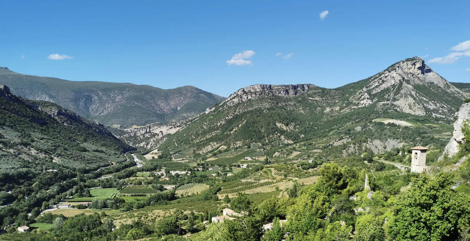
The mountain peaks around Plaisians offer expansive and stunning panoramic views. From higher points like Mont Ventoux summit, you can see the Drôme Provençale, the Toulourenc valley, and on clear days, even the distant Southern Alps and Dévoluy. Many trails also provide picturesque views of the Baronnies Provençales and charming hamlets.
What are the best times of year to visit the mountains around Plaisians for hiking?
The best times to visit are generally spring and autumn when temperatures are milder and the landscapes are vibrant. Spring brings blooming wildflowers, while autumn offers beautiful foliage. Summers can be hot, especially at lower elevations, but higher peaks like Mont Ventoux can still be pleasant, though an extra jacket and winter gloves are recommended for spring visits to the summit due to potential cold.
Are there family-friendly hiking options in the Plaisians mountain region?
While many routes offer moderate to challenging terrain, the region does have diverse trails. For family-friendly options, look for shorter loops or trails with less elevation gain. The area's tranquil nature and scenic paths through forests and olive groves can be enjoyable for families, though specific 'family-friendly' categorizations for individual peaks are not widely noted. Always check route details for difficulty before heading out.
Can I find circular mountain walks or loop trails near Plaisians?
Yes, the region is known for its loop trails. For example, the "Tour de la Nible" is a beautiful trek partly following GR® paths and forest roads. There's also a loop hike encompassing Sommet de la Plate and Montagne de Bluye, offering extensive panoramas. You can find more options in the Hiking around Plaisians guide, including the "View of the Banne (1348 m) – Aiguières Fountain loop from Plaisians".
What other outdoor activities can I do near the mountain peaks around Plaisians?
Beyond hiking, the area is excellent for cycling. Mont Ventoux is particularly famous among cyclists, including its challenging ascents like Mont Ventoux Ascent from Sault. You can explore various road cycling and mountain biking routes. For more details, check the Road Cycling Routes around Plaisians and MTB Trails around Plaisians guides.
What natural features and landscapes characterize the mountains near Plaisians?
The region is characterized by the Baronnies Provençales, featuring verdant landscapes, olive groves, and forests. Unique natural features include the "scree desert" landscape near the Mont Ventoux summit and geological formations like the "Clue" (a narrow passageway carved by the Derboux river). You'll also encounter pastoral scenes with shepherds and their flocks on mountains like La Nible and Montagne de Géine.
Are there any historical or cultural sites to see while exploring the mountains?
While the primary focus is nature, some hikes can lead through charming hamlets like Aiguières and Girards, where you might discover local heritage such as chapels and traditional architecture. The area also has a history of human activity, with passes used by shepherds for centuries, adding a cultural layer to the natural experience. The route around Montagne de Vic, for instance, passes through hamlets with Roman-era vestiges.
What do visitors enjoy most about the mountain peaks around Plaisians?
Visitors particularly enjoy the tranquility and immersion in nature, far from tourist crowds. The stunning panoramic views from peaks like Mont Ventoux are a major draw. The diverse hiking trails, ranging from moderate to challenging, through varied landscapes including forests and olive groves, are also highly appreciated. The authentic rural experience, complete with local herds and charming hamlets, adds to the appeal.
What is the elevation and typical terrain like for hikes in the Plaisians mountains?
Elevations vary significantly, from the tranquil village of Plaisians to the imposing 1,910 meters of Mont Ventoux summit. Other peaks like La Nible reach up to 1,159 meters and Montagne de Banne 1,348 meters. The terrain can range from forest roads and GR® paths to rocky scree fields, especially on Mont Ventoux. Expect a mix of well-maintained trails and more rugged, natural paths, often with significant elevation gains.
Most popular routes around Plaisians
Most popular attractions around Plaisians

Get inspired with the komoot mobile app


Explore more
See even more amazing summits around Plaisians with these guides:
