The best running trails around Saint-Savin
4.6
(102)
1,957
runners
56
runs
Jogging routes around Saint-Savin offer a blend of scenic landscapes and natural features, making it an appealing destination for runners. The region is characterized by the gently flowing Gartempe River, providing picturesque riverside paths, and extensive wooded areas. Runners can also explore rolling landscapes and dedicated greenways, which are often converted old railway lines. This diverse terrain provides varied options for physical activity.
Best jogging routes around Saint-Savin
- The most popular jogging route is Étang de la Rosière loop from…
Last updated: June 28, 2026
4.8
(4)
73
runners
9.53km
01:04
170m
170m
Hard run. Good fitness required. Sure-footedness, sturdy shoes and alpine experience required.
4.0
(2)
27
runners
9.25km
00:58
80m
80m
Moderate run. Good fitness required. Mostly paved surfaces. Suitable for all skill levels.

Sign up for free
16
runners
16.2km
01:42
80m
80m
Hard run. Very good fitness required. Mostly paved surfaces. Suitable for all skill levels.
11
runners
11.4km
01:12
50m
50m
Moderate run. Good fitness required. Mostly paved surfaces. Suitable for all skill levels.
5.0
(1)
11
runners
19.3km
02:15
440m
440m
Hard run. Very good fitness required. Mostly paved surfaces. Suitable for all skill levels.
Get access to more routes and recommendations from other explorers.
Sign up for free
Already have an account?
Our route recommendations are based on thousands of hikes, rides, and runs completed by other people on komoot.
Start today with a free account
Your next adventure awaits.
Login or Signup
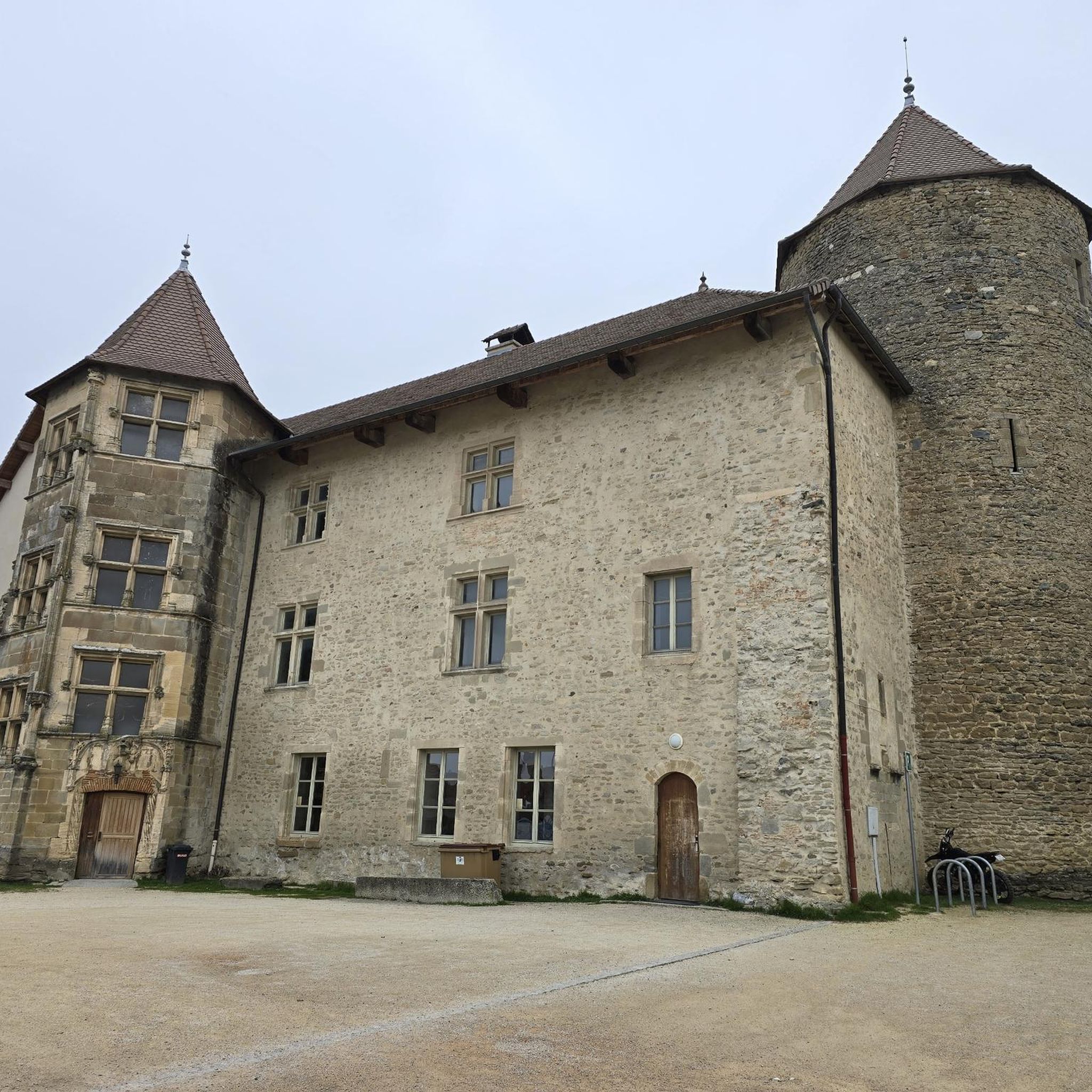
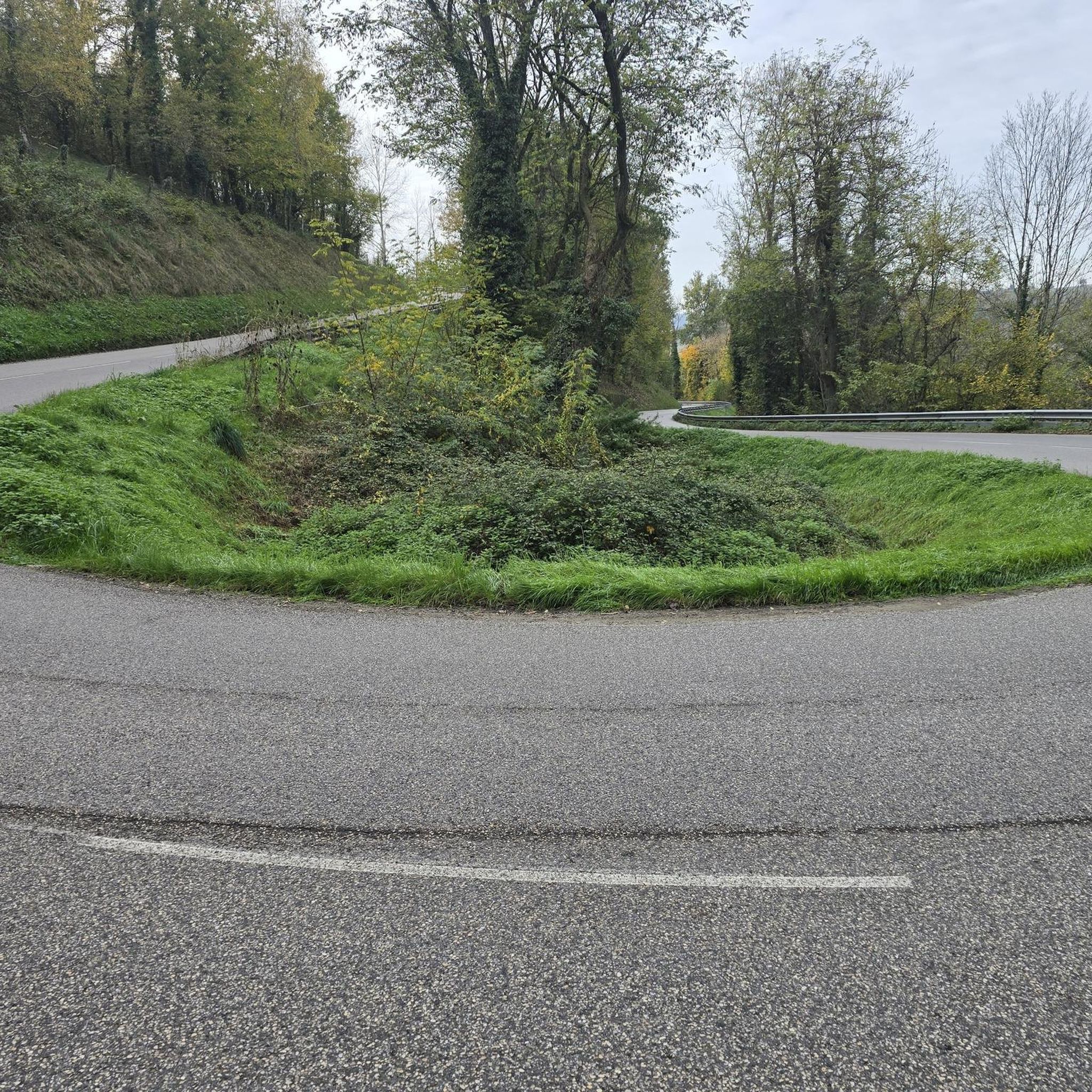
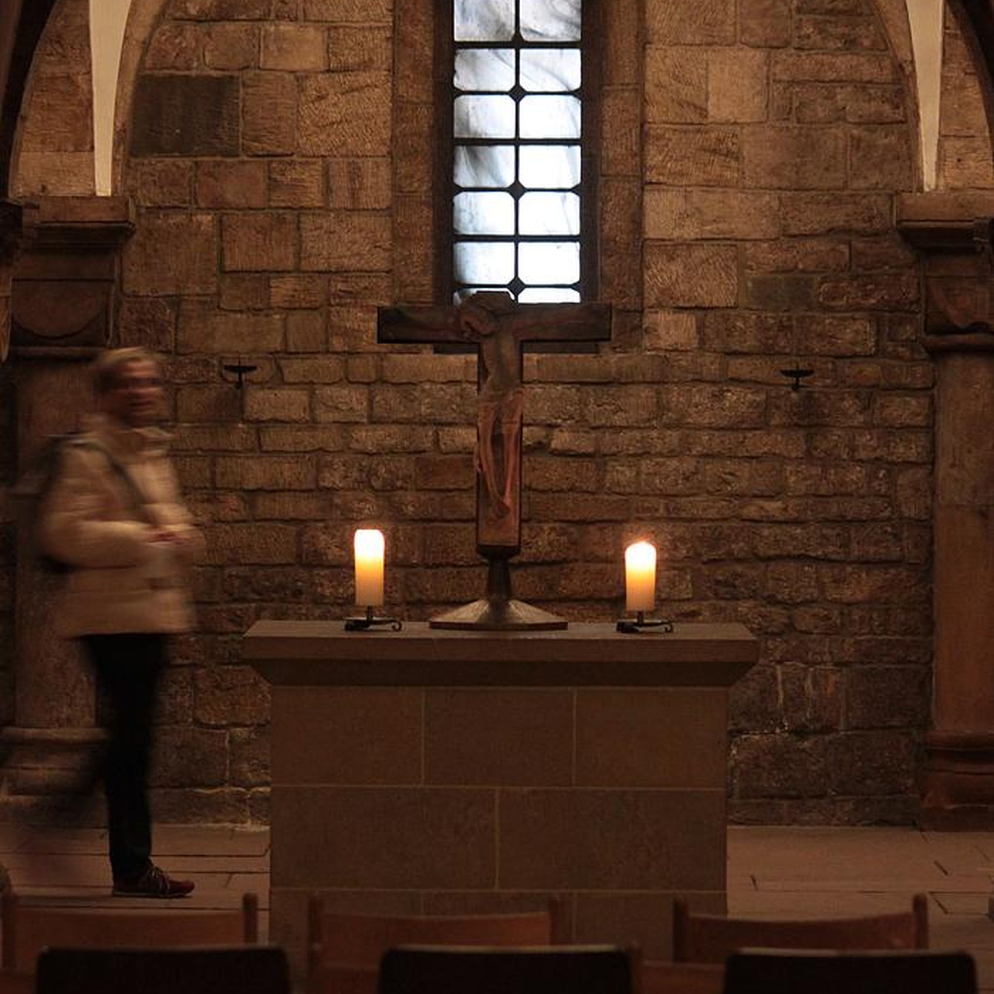

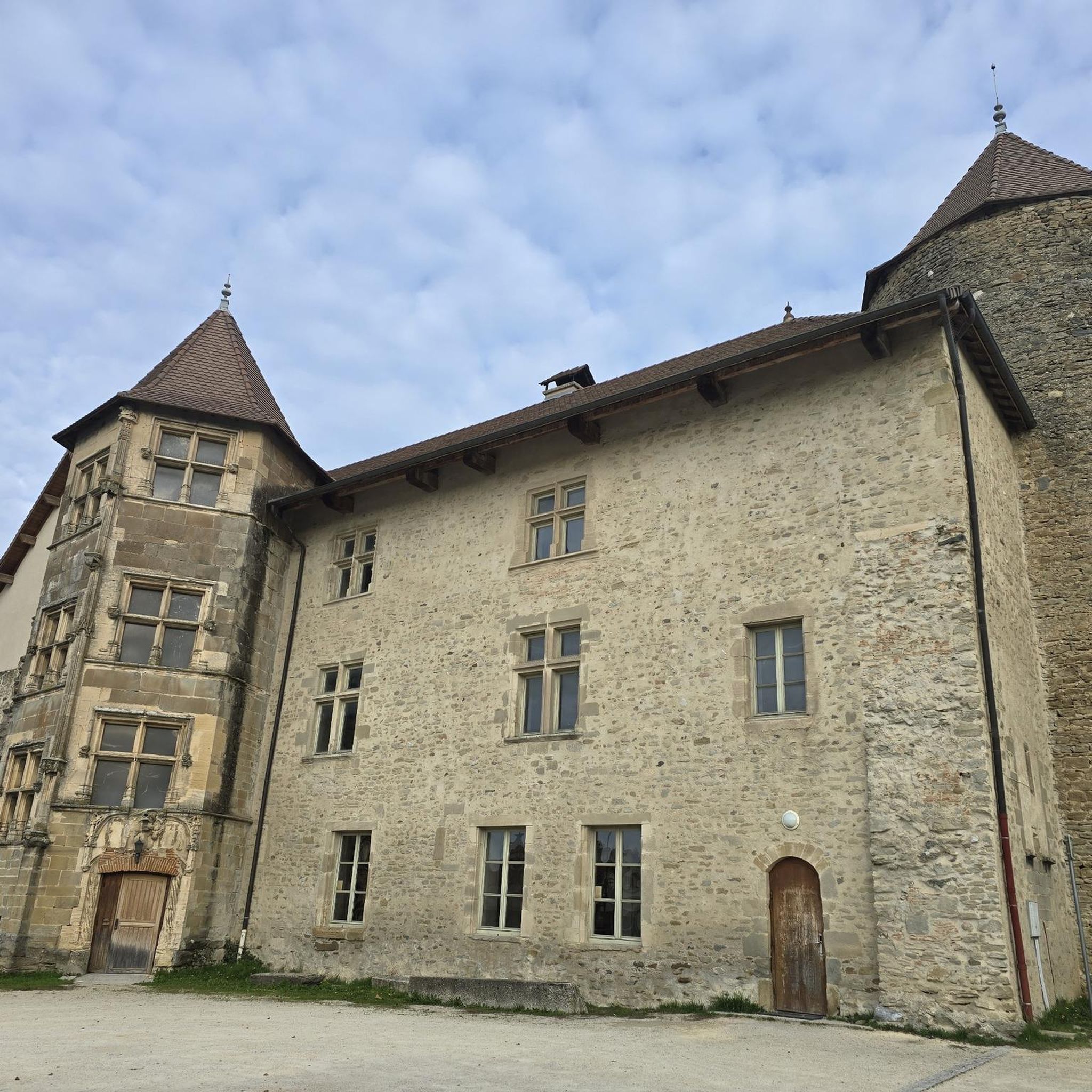
Tips from the Community

Lovely view of the pond. A little cool spot when it's hot.
0
0

Rosière Pond NATURAL HERITAGE Rosière Pond BACK TO THE LIST Rosière Pond© Martial-Couderette The Rosière pond is located to the north-east of the town of Bourgoin-Jallieu on the edge of the town of Ruy-Montceau and offers an ideal relaxing setting. The association “Les Amis de Rosière et de la Nature” manages the pond made available by the city. The Rosière pond, fed by the Loudon stream, was built in the 18th century to power a hemp mill (the current restaurant). This pond was the property of the GENIN family for a long time before being bought by the town of Bourgoin-Jallieu in 1978. Since then, the town of Bourgoin-Jallieu has done everything possible to make this site a protected natural place, walks and hikes and a fishing spot. Many hiking trails start from the pond. Source: Isère Tourism
1
0

left a little too late to see the sunrise on the heights of Plan Bourgoin
1
0

I've done Rosière several times never seen that there was a bikepark part thanks for sharing 👍
2
0

A good place to progress in freeride enduro dh with a line of freeride a dirt terrain to launch the best tricks and jumps for enduro dh or dirt with several jumps. (Some places are really technical and not suitable for beginners in downhill mountain biking)
2
0
Frequently Asked Questions
How many running routes are available in Saint-Savin?
There are nearly 60 dedicated running routes around Saint-Savin, offering a wide variety of options for all fitness levels. These include easy paths, moderate trails, and some more challenging routes.
What do other runners say about the trails in Saint-Savin?
The running routes in Saint-Savin are highly rated by the komoot community, with an average score of 4.5 stars from over 100 reviews. More than 1900 runners have used komoot to explore the varied terrain, often praising the scenic landscapes and well-maintained paths.
Are there any easy running routes suitable for beginners in Saint-Savin?
Yes, Saint-Savin offers several easy running routes perfect for beginners or those looking for a gentle jog. There are 3 routes specifically categorized as easy, providing accessible paths through the region's charming scenery.
Are there dedicated greenways for running in Saint-Savin?
Absolutely. An old railway line, known as "La Saint Savinoise," has been transformed into a greenway extending to Fleix. This provides a dedicated, often paved, and accessible path for runners, with possibilities for routes ranging from 5 to 35 km. The "Greenway Pierrefitte loop" is a notable example, suitable for various fitness levels.
Can I find running routes that offer scenic views or pass by historical landmarks?
Yes, many routes in Saint-Savin offer picturesque views and pass by significant landmarks. For instance, the magnificent Abbey of Saint-Savin, a UNESCO World Heritage site, is a central attraction, and trails explore the area around it. The village also features a belvedere overlooking the valley, which can be incorporated into a route for panoramic views. You might also encounter highlights like Étang de la Rosière or Château de Bienassis on some trails.
Are there any circular running routes in Saint-Savin?
Yes, many of the running routes in Saint-Savin are designed as loops, allowing you to start and finish in the same location. An example is the challenging Étang de la Rosière loop from La Tour-du-Pin, which covers 19.2 km. Another popular option is the moderate Château de Demptézieu loop from Chambre d'Hôte du Petit Trot, spanning 8.7 km.
What kind of natural features can I expect to see on a run in Saint-Savin?
Saint-Savin's running routes are characterized by a blend of natural beauty. You'll often find yourself along the gently flowing Gartempe River, enjoying picturesque riverside paths adorned with wildflowers. The region also boasts extensive wooded areas and rolling landscapes, providing varied terrain and a refreshing environment for your run.
Are there any running routes that are particularly long or challenging?
For experienced runners seeking a challenge, Saint-Savin offers several difficult routes. The Étang de la Rosière loop from La Tour-du-Pin is a demanding 19.2 km trail with significant elevation gain. Another difficult option is the Back to loop from Les Sables, which covers 16.2 km.
Can I find running routes that are suitable for families?
While specific 'family-friendly' routes aren't explicitly categorized, the presence of easy and moderate trails, particularly the dedicated greenways, makes many routes suitable for families. These paths often offer gentler terrain and a safe environment for a family outing. Look for routes with lower difficulty ratings and shorter distances.
What is the best time of year to go running in Saint-Savin?
Saint-Savin is enjoyable for running throughout much of the year. Spring and autumn offer pleasant temperatures and beautiful scenery, with wildflowers in spring and vibrant foliage in autumn. Summer can be warm, so early morning or late evening runs are often preferred. Winter runs are also possible, especially on the well-maintained greenways, though you should always check local weather conditions.
Are there any running routes that follow the Gartempe River?
Yes, the Gartempe River is a significant natural feature of Saint-Savin, and many running paths follow its banks. The combination of the gently flowing water, ancient stone walls, and the medieval Pont de Saint-Savin creates a picturesque backdrop. The "Boucle de Saint-Savin et Voie Verte des Vallées" is a 20.2 km route that offers scenic views of the Gartempe River and the historic Abbatial Church.
Are there any running routes that pass by lakes or water features?
Yes, you can find routes that incorporate lakes and other water features. For example, the moderate Le Lac Clair – Lac Gris loop from La Tour-du-Pin is a 10.6 km trail leading through scenic lake areas. The Étang de la Rosière is also a notable lake in the vicinity that features in some routes.
Most popular routes around Saint-Savin
Most popular attractions around Saint-Savin

Get inspired with the komoot mobile app


Explore more
Browse the best Running Trails & Routes in other regions.
