The best running trails around Thoiry
4.4
(294)
18,342
runners
617
runs
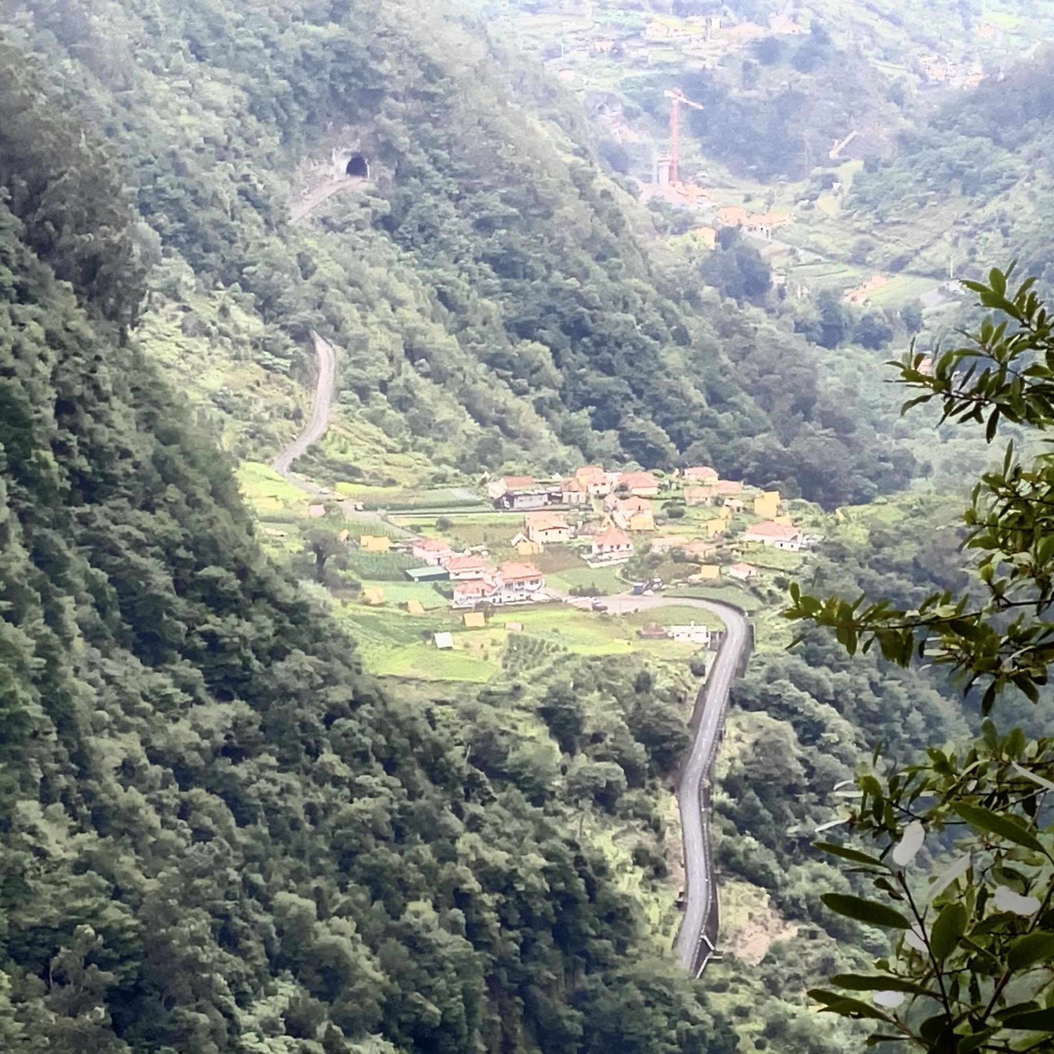
Jogging around Thoiry offers diverse natural landscapes within the Ain department of France, characterized by its proximity to the Jura Mountains. The region features varied terrain, including dense Jura forests, expansive mountain pastures, and ridges that provide panoramic views. Runners can find routes with varied elevation, from gentle paths to challenging ascents, making it suitable for different fitness levels.
Best jogging routes around Thoiry
- The most popular jogging route is View of the Dam on the Leysse – Trou de…
Last updated: July 1, 2026
5.0
(2)
123
runners
10.8km
01:42
410m
410m
Hard run. Very good fitness required. Sure-footedness, sturdy shoes and alpine experience required.
4.5
(2)
27
runners
11.1km
01:27
410m
400m
Hard run. Very good fitness required. Sure-footedness, sturdy shoes and alpine experience required.

Sign up for free
19
runners
9.47km
01:35
460m
460m
Hard run. Very good fitness required. Sure-footedness, sturdy shoes and alpine experience required.
5.0
(1)
15
runners
8.69km
01:10
310m
310m
Hard run. Very good fitness required. Mostly paved surfaces. Suitable for all skill levels.
18
runners
8.05km
01:13
340m
340m
Hard run. Very good fitness required. Sure-footedness, sturdy shoes and alpine experience required.
Get access to more routes and recommendations from other explorers.
Sign up for free
Already have an account?
Our route recommendations are based on thousands of hikes, rides, and runs completed by other people on komoot.
Start today with a free account
Your next adventure awaits.
Login or Signup

Tips from the Community

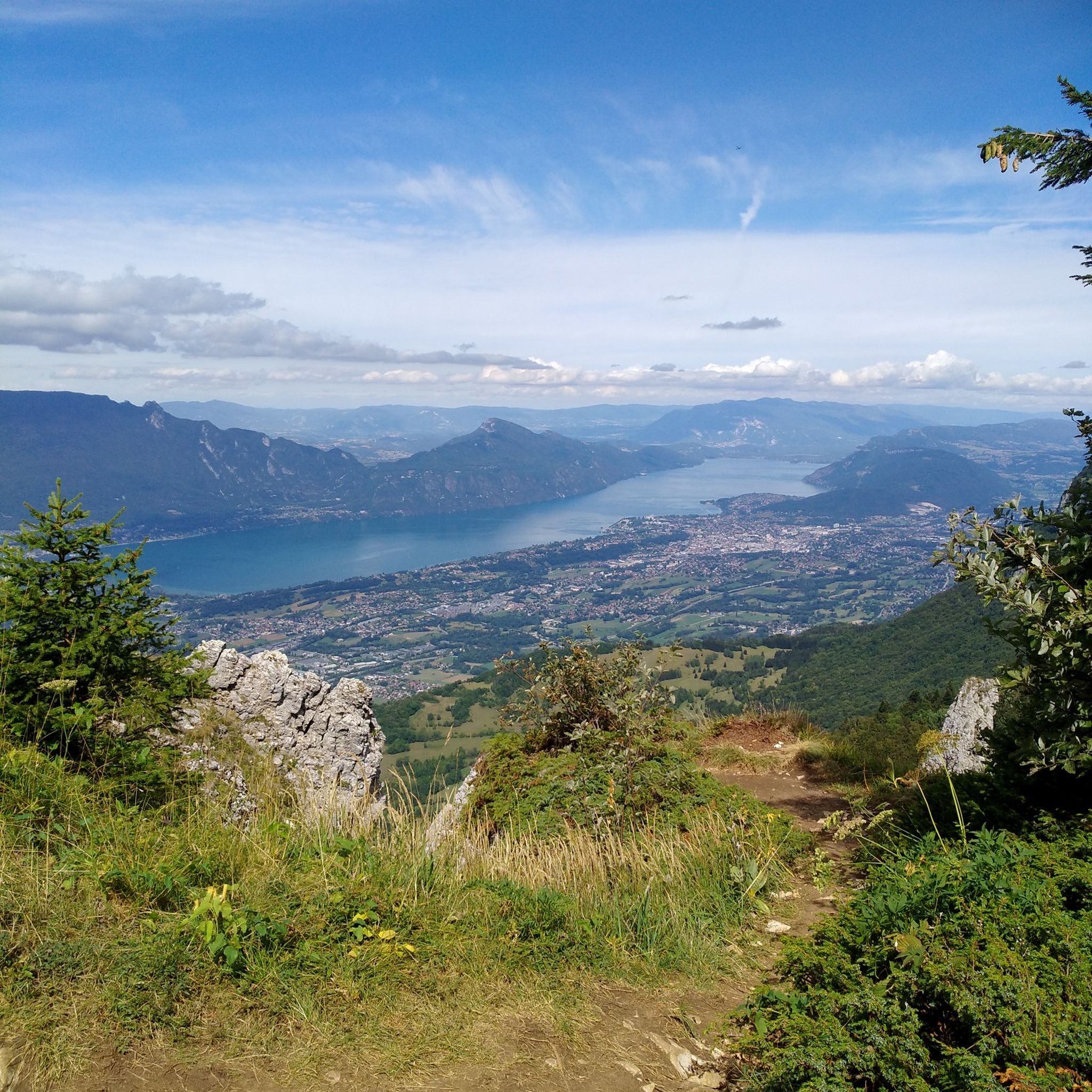
Magnificent view of Chambéry and Lake Bourget A lovely picnic area
0
0

Don't forget that even if it's in the mid-mountains, you need to be equipped for the weather, good shoes, and good physical condition.
0
0


The beautiful and varied hiking trail to the summit cross alone is a pleasure, and once you reach the summit, you have a breathtaking panorama in all directions (Alps, Lac du Bourget, Chamberry, Aix-les-Bains, mountains and valleys). Highly recommended 😀👍!
0
1

A MUST in the Rhone Alps! Anyone who missed it wasn't really there. The climb from Le Village Nordique via Le Sire, Chalets du Sire to Mon Kamuniak and then south to Croix de Nivulet is relatively easy (as Benoit Colombier writes: "Accessible to all..."), not dangerous and offers beautiful view.
1
0

Nice layout that allows you to reach Thoiry from St-Jean-d'Arvey.
1
1


Frequently Asked Questions
How many running routes are available around Thoiry?
There are over 600 running routes available around Thoiry, catering to a wide range of fitness levels. This includes 46 easy routes, 264 moderate routes, and 308 difficult routes, ensuring options for both casual joggers and experienced trail runners.
What kind of terrain can I expect on the jogging trails near Thoiry?
Jogging trails near Thoiry offer diverse terrain, from dense Jura forests providing shaded paths to expansive mountain pastures and ridges. You'll find routes with varied elevation, including gentle paths and challenging ascents, often providing panoramic views of the Alps, Lake Geneva, and the Jura mountains.
Are there any running routes that feature waterfalls or other natural landmarks?
Yes, for those who enjoy scenic natural features, the Doria Waterfall loop from Saint-Jean-d'Arvey is a popular choice. This challenging 13.5-mile (21.7 km) route leads through varied terrain and includes a notable waterfall, offering a rewarding experience for runners.
What do other runners enjoy most about the trails in Thoiry?
The running trails in Thoiry are highly rated by the komoot community, with an average score of 4.4 stars from over 270 reviews. Runners often praise the diverse terrain, the challenging mountain pastures, and the panoramic views of the Alps and Jura mountains that many routes offer.
Are there any routes with significant elevation gain for a challenging run?
Absolutely. Thoiry is situated near the Jura Mountains, offering many routes with substantial ascents. For example, the Pic de la Sauge – Pointe de la Galoppaz loop from Puygros is a 6.4-mile (10.3 km) trail with significant climbing, often completed in about 2 hours 20 minutes. Another demanding option is the La Galoppaz Peak loop from Puygros, which features over 1100 meters of elevation gain.
Can I find circular jogging routes around Thoiry?
Yes, many of the running routes around Thoiry are circular, allowing you to start and finish at the same point. A notable example is the View of the Dam on the Leysse – Trou de l'Enfer footbridge loop from Curienne, a 6.7-mile (10.8 km) difficult route with scenic views.
Are there any interesting landmarks or points of interest along the running routes?
Beyond the natural beauty, the wider area around Thoiry features several notable landmarks. You can find mountain passes like Marocaz Pass and Col du Frêne (950 m), as well as mountain peaks such as Nivolet Cross and Mount Revard, which offer stunning viewpoints.
What are some options for longer, more enduring trail runs?
For those seeking longer distances and more endurance, the Doria Waterfall loop from Saint-Jean-d'Arvey is a challenging 13.5-mile (21.7 km) path with significant climbing. Another option for a substantial workout is the La Galoppaz Peak loop from Puygros, spanning 15.6 miles (25.2 km) with over 1100 meters of elevation gain.
Are there any routes that offer a mix of natural beauty and historical or cultural sights?
While not directly on the running trails listed, the region around Thoiry offers the extensive grounds of the Thoiry ZooSafari and the historic Château de Thoiry. These areas feature beautiful walking paths through ancient woodlands and landscaped gardens, providing a cultural dimension to your outdoor pursuits, though specific running routes through these attractions are not detailed here.
Can I find routes that are suitable for a moderate fitness level?
Yes, Thoiry offers a significant number of routes suitable for a moderate fitness level, with 264 such routes available. These trails provide a good balance of challenge and accessibility, allowing you to enjoy the diverse landscapes without requiring extreme endurance.
Are there any routes that offer views of the Trou de l'Enfer footbridge?
Yes, you can experience the Trou de l'Enfer footbridge on a dedicated route. The Trou de l'Enfer footbridge loop from Puygros is a challenging 11.1-mile (17.8 km) route that features this notable landmark, offering a unique point of interest during your run.
Most popular attractions around Thoiry

Get inspired with the komoot mobile app


Explore more
Browse the best Running Trails & Routes in other regions.
