Top 12 Mountain Passes around Moye
Mountain passes around Moye are situated in the Haute-Savoie department of France, within the French Alps. This region features a diverse mountainous landscape, offering routes for cycling and hiking. The area is characterized by challenging ascents, forested sections, and panoramic views of lakes and mountain ranges. It provides various outdoor experiences for those exploring the alpine terrain.
Best mountain passes around Moye
- The most popular mountain pass is Chambotte Pass, a mountain pass that offers views of Lac du…
Last updated: June 26, 2026
Chambotte Pass
Highlight • Mountain Pass
Translated by Google •
Tip by

Col du Clergeon
Highlight • Mountain Pass
Tip by

Sign up now to discover places like this
Get recommendations on the best single tracks, peaks, & plenty of other exciting outdoor places.
Sign up for free
Col du Grand Colombier
Highlight • Mountain Pass
Showing Translation
Tip by

Ascent of Col du Grand Colombier from Culoz
Highlight (Segment) • Climb
I prefer this side because it allows for the switchbacks that made this pass famous.
Translated by Google •
Tip by

Col du Sapenay
Highlight • Mountain Pass
Translated by Google •
Tip by

Sign up for free to discover even more mountain passes around Moye.
Sign up for free
Already have an account?
Start today with a free account
Your next adventure awaits.
Login or Signup

Tips from the Community

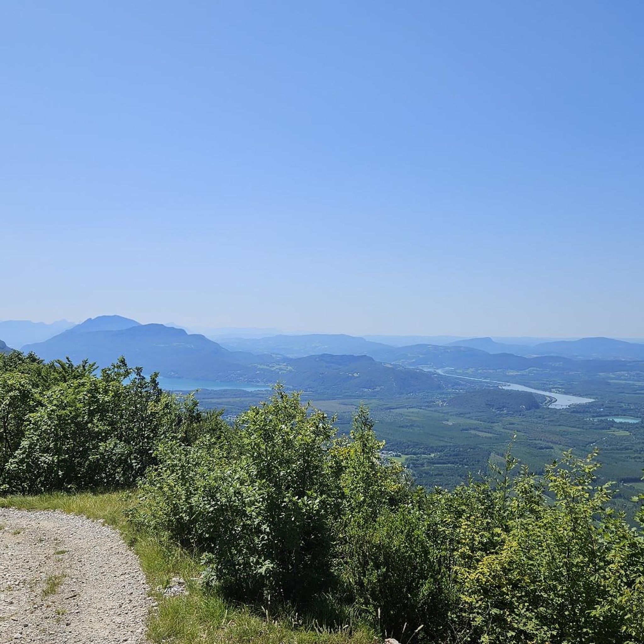
Great pass with very little traffic which allows you to enjoy a panorama in complete tranquility. The viewpoint at the summit offers a beautiful view of the Chautagne and Lake Bourget from the paragliding departure slope (accessible from a path from the parking lot up there) 🪂 Pass accessible 2km from Chindrieux station or 11km from Culoz station 🚃
0
0

There is a new section of the Via Rhona between Motz and Serriere en Chautagne. It is well signposted towards Motz and then winds through fields and parallel to the main road without much guidance.
2
0

Located on the heights of Mont Clergeon to the north of Lac du Bourget, the Col du Clergeon – 979 m – has the particularity of belonging to a non-Alpine massif, in this case that of Jura but also to the department of Savoie which is naturally affiliated with the Alps. WEST SIDE This slope starting at Ruffieux, located just opposite the Grand Colombier, has an air copied from that of its illustrious neighbor: certainly shorter with 8.8 km but at 8.5% on average! Around fifteen bends will help you climb the 728 m of positive altitude difference. Still count on a big passage of 1840 m at 10.5% to reach the Col du Clergeon at 979 m above sea level which marks the border with Haute-Savoie. EASTERN SIDE This slope starts at Rumilly in… Haute-Savoie. It offers a positive altitude difference equivalent to the western slope with 772 m but being longer with 15 km, the difficulty is a little less with an average slope of 6.5%. However, the ascent is tricky because it has 2 descents that will have to be climbed back up and a long passage of 3.4 km on a slope of between 8.5 and 9.5%. Small sweetness: the finale won't be too difficult. Sources: Alpes4ever
1
0
Magnificent pass, view of Lake Bourget all along.
1
0
Super pass, regular, with a view of the Bauges on the Cessens side.
1
0

Every second Saturday in June, July, August and September. from 7 a.m. to 3 p.m., the climb to the Grand Colombier from Culoz is reserved for cyclists, without registration.
3
0
nice walk through the forest of Moye
0
0
Frequently Asked Questions
Where are the mountain passes around Moye located?
The mountain passes around Moye are situated in the Haute-Savoie department of France, within the French Alps. This region is known for its diverse mountainous landscape, offering routes for cycling and hiking with challenging ascents and panoramic views.
What are some of the most scenic mountain passes near Moye?
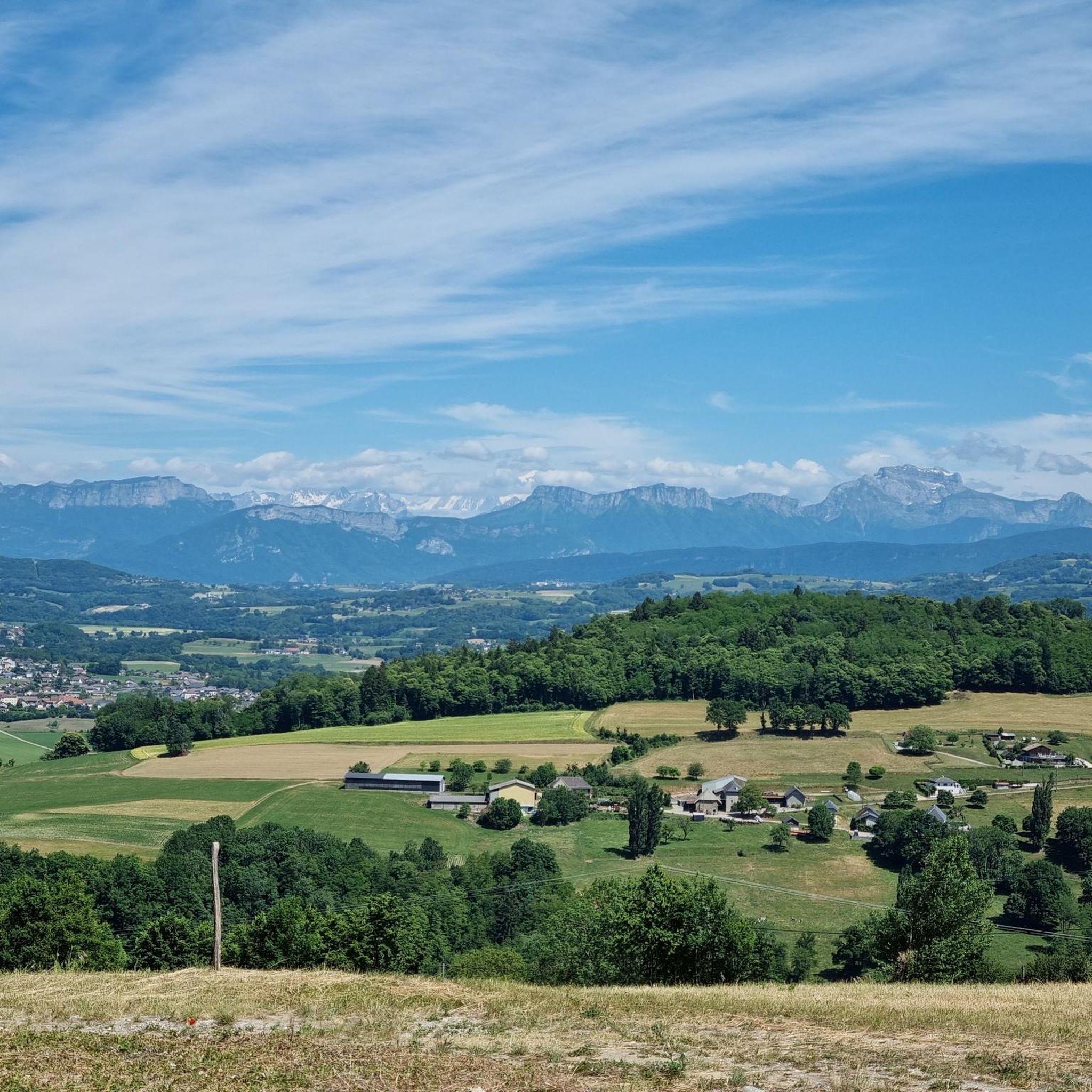
For breathtaking views, consider the Chambotte Pass, which offers views of Lac du Bourget and a 360° panorama from its Belvedere. The Col du Grand Colombier also provides magnificent vistas of the Rhône, Lac du Bourget, and the entire Alpine arc. Additionally, the Col du Sapenay offers beautiful views of Lake Bourget.
Are there challenging mountain passes for experienced cyclists or hikers?
Yes, the region around Moye is known for challenging climbs. The Col du Clergeon, for instance, features a tough ascent from the west. The Col du Grand Colombier is also renowned for its steep sections, particularly from the Virieu-le-Petit side, with gradients reaching up to 15%.
What kind of natural features can I expect to see on these passes?
You can expect to see stunning alpine scenery, including panoramic views of Lac du Bourget and the Rhône river. Many passes, like the Col du Clergeon, feature beautiful forest climbs, providing shaded routes. On clear days, from higher passes like the Col du Grand Colombier, you might even spot Mont Blanc.
What do visitors enjoy most about the mountain passes around Moye?
Visitors frequently praise the magnificent views, especially those overlooking Lac du Bourget and the surrounding mountain ranges. The challenging yet rewarding climbs, the serene forested sections with minimal car traffic, and the sense of accomplishment from reaching the summits are also highly appreciated by the komoot community.
Are there any less-frequented or 'hidden gem' mountain passes near Moye?
The Col du Sapenay is considered a less-frequented pass, offering a largely shaded route with beautiful views of Lake Bourget. It provides a quieter experience compared to some of the more popular climbs.
What outdoor activities can I do near these mountain passes?
Beyond cycling the passes, the area around Moye offers various outdoor activities. You can find numerous running trails, including loops like the 'Panorama of the Albanais' or 'Mont Clergeon – Col du Clergeon' from Le Villard. There are also options for gravel biking and general cycling tours. For more details on routes, check out the Running Trails around Moye, Gravel biking around Moye, and Cycling around Moye guides.
Are there specific routes for running near the mountain passes?
Yes, there are several running routes available. For example, you can explore the 'Panorama of the Albanais loop from Le Villard' (5.9 km, difficult) or the 'Mont Clergeon – Col du Clergeon loop from Le Villard' (9.4 km, difficult). A moderate 'Running loop from Moye' (10.6 km) is also available. You can find more options in the Running Trails around Moye guide.
What are the options for cycling and gravel biking in the Moye area?
The Moye area is excellent for cycling and gravel biking. For road cycling, routes like the 'Mont Clergeon – Rumilly Old Town and Sundial loop' (34.6 km, difficult) are popular. Gravel biking enthusiasts can try the 'Old bridge of Seyssel – Canal de Savières Road loop' (58.1 km, moderate). More routes are detailed in the Cycling around Moye and Gravel biking around Moye guides.
Is there parking available at the mountain passes?
While specific parking details for every pass are not always listed, many routes and highlights in the region, especially those starting from villages or popular viewpoints, typically have designated parking areas. For example, some running loops are noted to start from 'Le Villard (parking)'.
What is the best time of year to visit the mountain passes around Moye?
The French Alps are generally best visited during late spring, summer, and early autumn (May to October) for cycling and hiking, when the passes are clear of snow and weather conditions are most favorable. Some passes might be closed or challenging in winter due to snow and ice.
Are there any amenities like cafes or water points near the passes?
Visitor tips for some passes mention amenities. For instance, the Chambotte Pass has a water point at the level of the pass. However, aid stations are not always available on all passes, such as the Col du Grand Colombier, so it's advisable to carry your own supplies.
Most popular attractions around Moye

Get inspired with the komoot mobile app


Explore more
See even more epic mountain passes by checking out these guides around Moye:
