The best MTB trails around Sermamagny
4.5
(905)
3,137
riders
317
rides
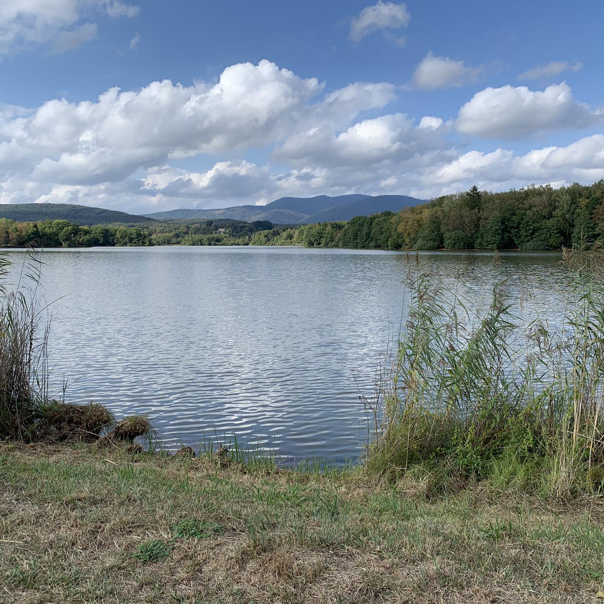
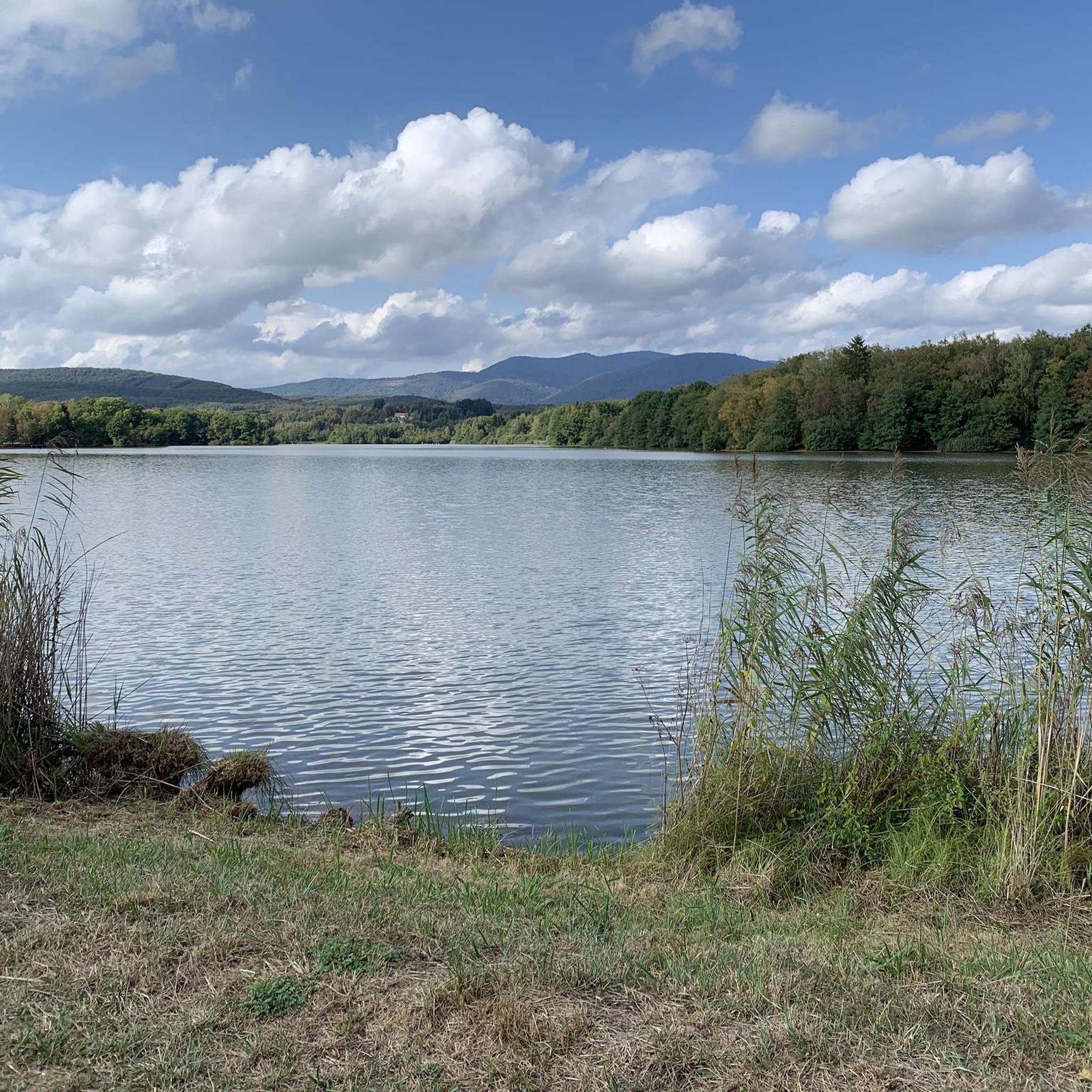
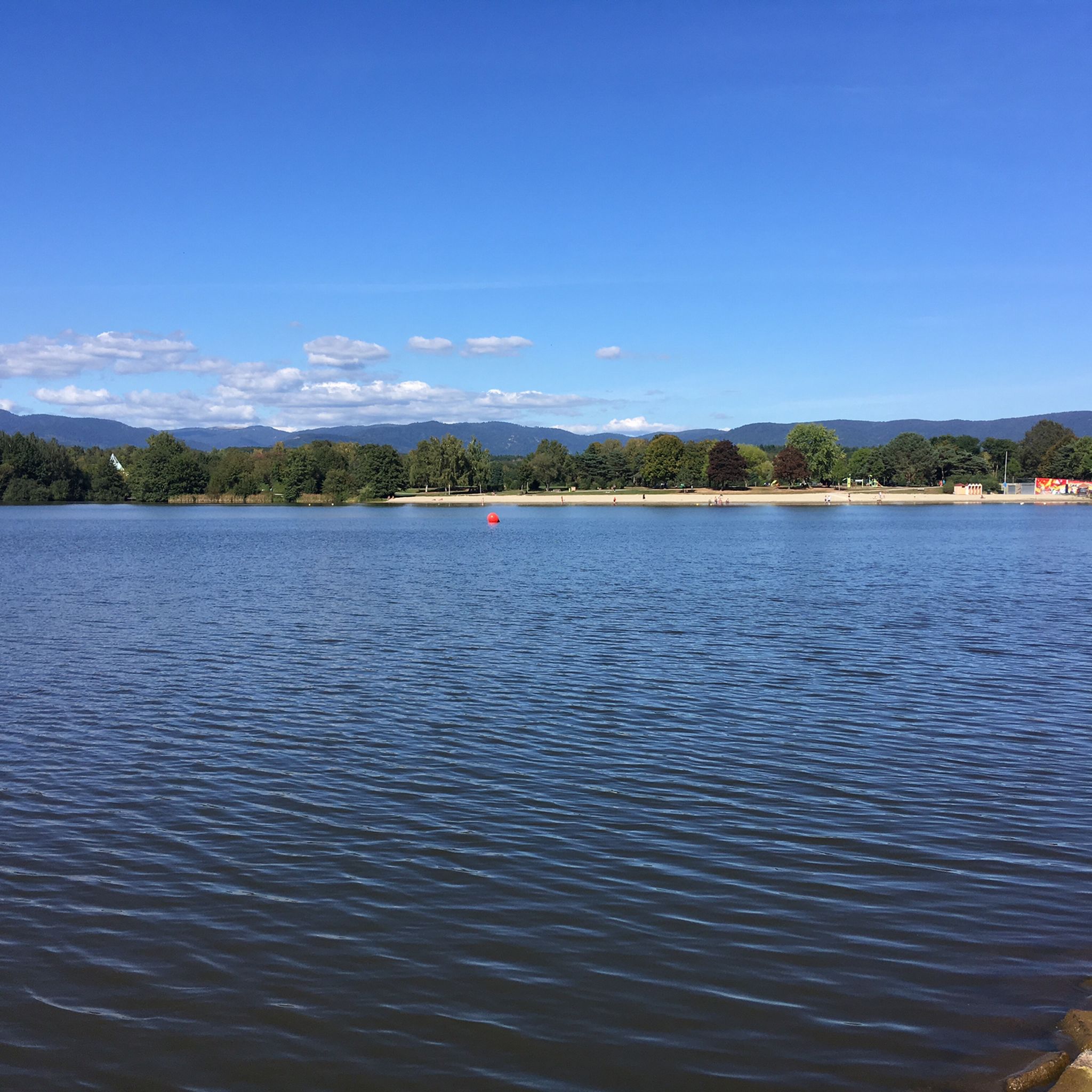
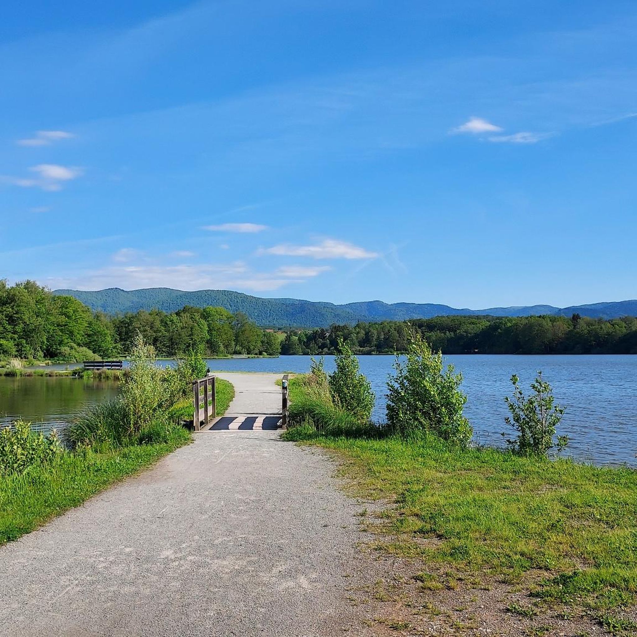
Mountain bike trails around Sermamagny are situated in the Territoire de Belfort region of France, characterized by the southern Vosges mountains. The terrain features significant elevation changes, offering both challenging ascents and descents for mountain bikers. Lush forests, such as the Saint-Antoine Forest and Salbert forest, provide a natural setting for routes, alongside prominent features like the Lac de Malsaucy and Véronne Pond. This diverse landscape ensures a variety of mountain biking experiences.
Best mountain bike trails around Sermamagny
- The…
Last updated: June 29, 2026
52
riders
20.7km
02:03
640m
640m
Hard mountain bike ride. Good fitness required. Advanced riding skills necessary. Some portions of the route may require you to push your bike.
4.0
(5)
25
riders
Hard mountain bike ride. Good fitness required. Advanced riding skills necessary. Some portions of the route may require you to push your bike.

Sign up for free
3.8
(4)
25
riders
67.6km
05:04
1,220m
1,220m
Hard mountain bike ride. Very good fitness required. Advanced riding skills necessary. Some portions of the route may require you to push your bike.
5.0
(2)
13
riders
41.3km
03:05
590m
590m
Hard mountain bike ride. Good fitness required. Advanced riding skills necessary. Some portions of the route may require you to push your bike.
13
riders
44.1km
04:08
1,110m
1,110m
Hard mountain bike ride. Very good fitness required. Advanced riding skills necessary. Some portions of the route may require you to push your bike.
Get access to more routes and recommendations from other explorers.
Sign up for free
Already have an account?
Our route recommendations are based on thousands of hikes, rides, and runs completed by other people on komoot.
Start today with a free account
Your next adventure awaits.
Login or Signup

Tips from the Community

The summit of the Salbert forest
0
0
A great place for walking, hiking, and also mountain biking.
0
0

very beautiful route!!! drive slowly!! watch out for pedestrians
0
0

the best blueberry pies with the option to charge bikes
0
0


It's superb but as always in this kind of place avoid busy times if possible.
0
0
Frequently Asked Questions
How many mountain bike trails are there in Sermamagny?
There are over 300 mountain bike trails around Sermamagny, offering a wide range of options for different skill levels. The region's diverse landscape, from the southern Vosges mountains to tranquil lakesides, provides varied terrain for every rider.
Are there easy mountain bike trails suitable for beginners or families?
Yes, Sermamagny offers around 46 easy mountain bike trails. A good option for a relaxed ride is the Railway of global interest – Lac du Malsaucy loop from Bas-Evette, which is 10.8 miles (17.4 km) long with minimal elevation gain. The area around Lac de Malsaucy is particularly known for its gentle, family-friendly circuits.
What kind of terrain can I expect on mountain bike trails in Sermamagny?
The terrain around Sermamagny is highly varied, ranging from challenging ascents and descents in the southern Vosges mountains to serene lakeside trails and lush forest paths. You'll encounter significant elevation changes, particularly near peaks like La Planche des Belles Filles, as well as smoother sections around bodies of water like Lac de Malsaucy.
Are there any circular mountain bike routes in the area?
Many mountain bike routes in Sermamagny are circular, allowing you to start and finish at the same point. For instance, the Lac du Malsaucy – Salbert Viewpoint loop from Bas-Evette is a difficult 12.7 miles (20.4 km) circular trail offering panoramic views. Another option is the Lac du Malsaucy – Véronne Pond loop from Bas-Evette, a difficult 25.6 miles (41.3 km) route.
What are some natural features or viewpoints I can see along the trails?
The trails around Sermamagny offer several natural features and viewpoints. You can enjoy panoramic views from Salbert Viewpoint, as featured in the Lac du Malsaucy – Salbert Viewpoint loop from Bas-Evette. The region is also characterized by lush forests, such as the Saint-Antoine Forest, and prominent lakes like Étang du Malsaucy and Véronne Pond, which are often incorporated into routes.
What do other mountain bikers enjoy most about mountain biking in Sermamagny?
The mountain bike trails in Sermamagny are highly rated by the komoot community, with an average score of 4.5 stars from over 900 reviews. Riders frequently praise the varied terrain, which caters to different skill levels, and the scenic beauty of the Vosges mountains, tranquil lakes, and extensive forest paths.
Are there any historical sites or landmarks to explore near the mountain bike routes?
Yes, the area around Sermamagny features several historical sites and landmarks. You can find impressive fortifications like the Citadel of Belfort and Fort de Giromagny. The Giromagny Fort – Enduro trail at Fort Dorsner loop from Chaux even passes near Fort Dorsner, offering a blend of history and challenging riding.
What is the best time of year for mountain biking in Sermamagny?
The diverse landscapes of Sermamagny make it suitable for mountain biking across multiple seasons. Spring and autumn offer pleasant temperatures and vibrant scenery, while summer provides longer daylight hours. The region's varied trails ensure options are available even in different weather conditions, though specific trail conditions should always be checked.
Can I bring my dog on the mountain bike trails?
Many trails in the Sermamagny region are dog-friendly, especially those through forests and around lakes, provided your dog is well-behaved and kept under control. It's always recommended to check specific trail regulations or local signage for any restrictions before heading out with your pet.
Are there any particularly challenging mountain bike trails for experienced riders?
Absolutely. Sermamagny is known for its challenging routes, with 156 trails rated as difficult. The Véronne Pond – Lac du Malsaucy loop from Bas-Evette is a demanding 41.9 miles (67.5 km) trail with significant elevation gain, often taking over 5 hours to complete. The area around La Planche des Belles Filles also offers steep ascents and diverse terrain for advanced riders.
Is there public transport access to the mountain bike trails?
While specific public transport links directly to trailheads can vary, the region around Sermamagny and the nearby city of Belfort offers some public transport options. It's advisable to research local bus services or train connections to get as close as possible to your desired starting point, especially for trails further from urban centers.
Where can I find parking for mountain biking in Sermamagny?
Parking is generally available at popular trailheads and near key attractions like Lac de Malsaucy. Many routes, especially those starting from villages like Bas-Evette or Chaux, will have designated parking areas. It's recommended to check the starting points of specific routes for detailed parking information.
Most popular routes around Sermamagny
Most popular attractions around Sermamagny

Get inspired with the komoot mobile app


Explore more
Browse the best MTB trails in other regions.
