The best cycling routes around Quimperlé
4.4
(694)
4,947
riders
31
rides
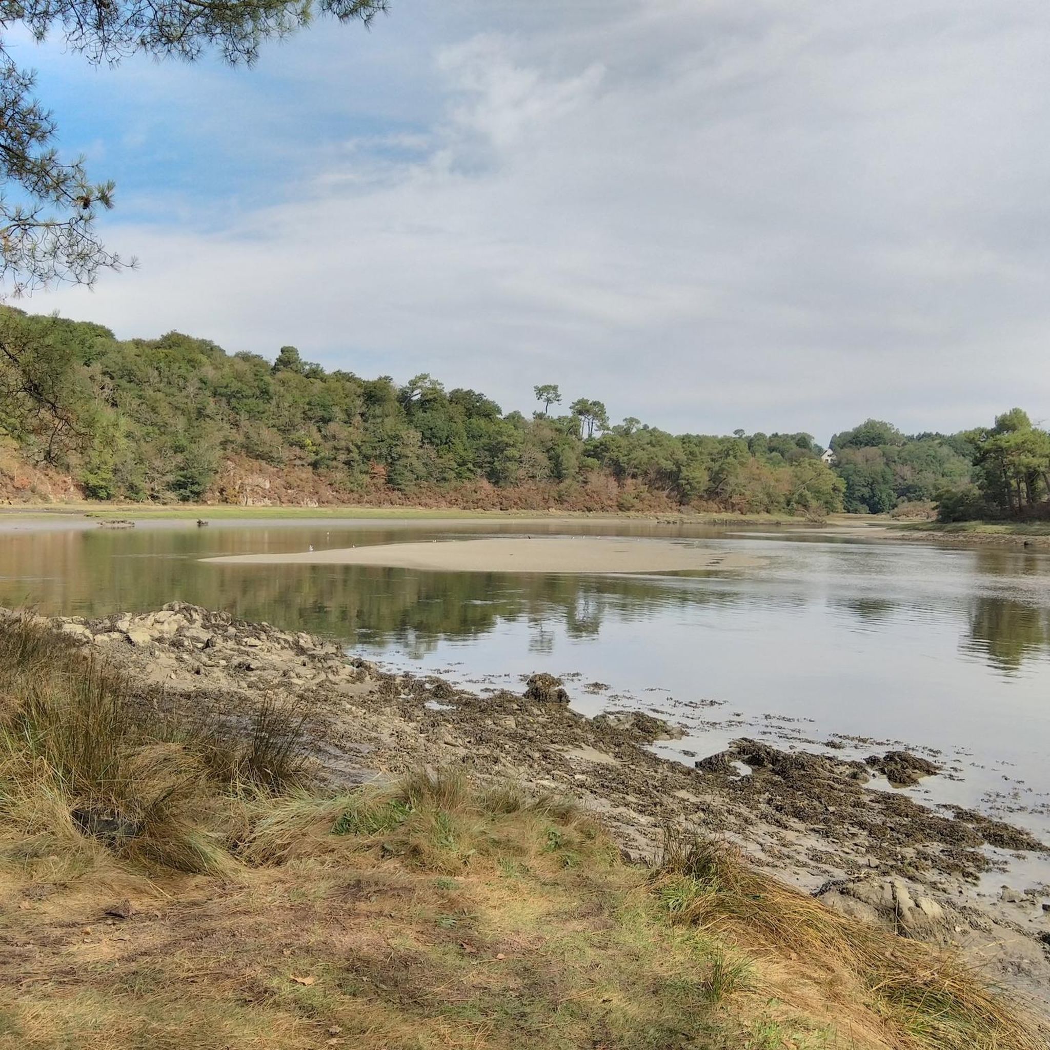
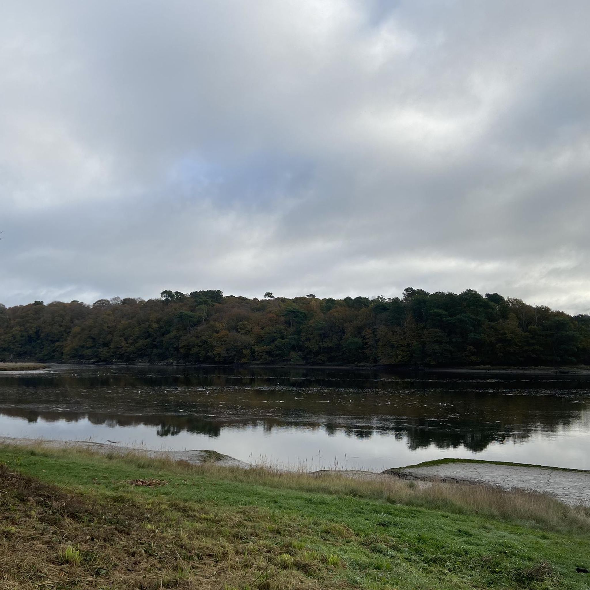
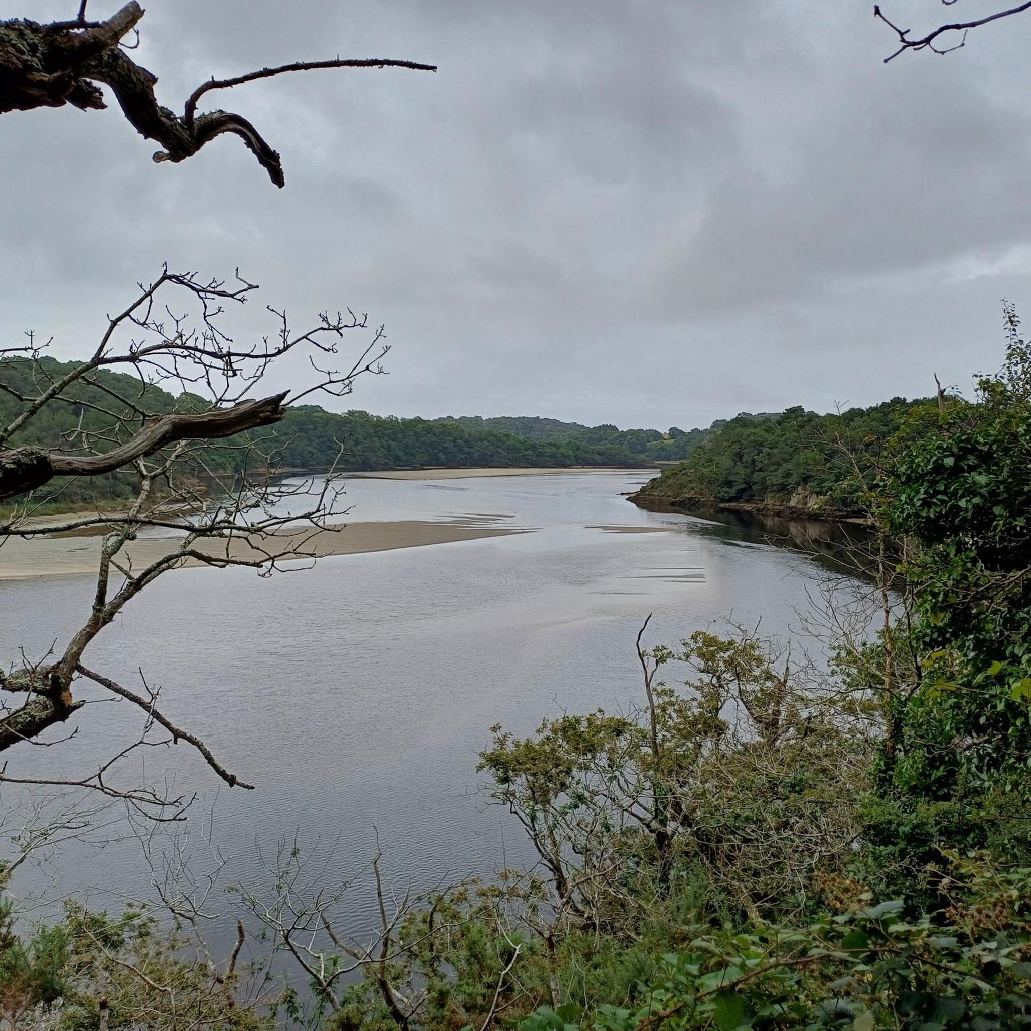
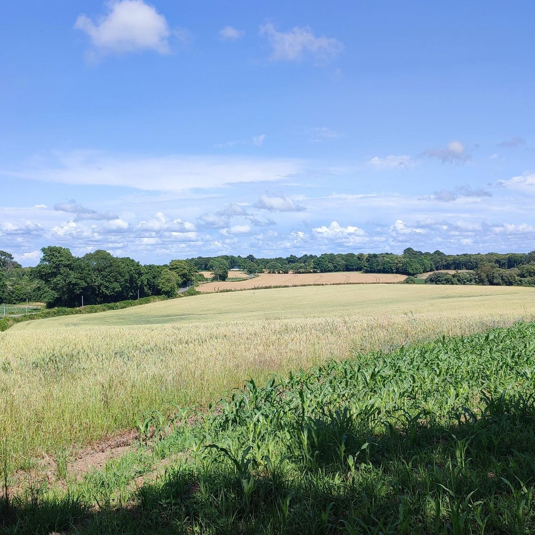
Touring cycling routes around Quimperlé navigate a landscape shaped by the confluence of the Isole and Ellé rivers, which form the Laïta. The region features diverse terrain, including river valleys, coastal areas with rias, and extensive forests. Cyclists encounter riverside paths, coastal routes with views of cliffs and beaches, and trails through wooded areas like the Carnoët forest.
Best touring cycling routes around Quimperlé
- The most popular touring cycling route is Kerguélen Water Sports Center – Fort-Bloqué Beach loop from…
Last updated: August 20, 2026
4.3
(6)
41
riders
96.3km
06:18
810m
810m
Hard bike ride. Very good fitness required. Mostly paved surfaces. Suitable for all skill levels.
4.6
(5)
31
riders
148km
09:12
1,130m
1,130m
Hard bike ride. Very good fitness required. Mostly paved surfaces. Suitable for all skill levels.

Sign up for free
4.4
(5)
16
riders
132km
08:25
1,030m
1,030m
Hard bike ride. Very good fitness required. Mostly paved surfaces. Suitable for all skill levels.
5.0
(3)
61
riders
26.2km
02:22
250m
250m
Moderate bike ride. Good fitness required. Mostly paved surfaces. Suitable for all skill levels.
5.0
(2)
24
riders
38.5km
03:07
400m
400m
Hard bike ride. Good fitness required. You may need to push your bike for some segments of this route.
Get access to more routes and recommendations from other explorers.
Sign up for free
Already have an account?
Our route recommendations are based on thousands of hikes, rides, and runs completed by other people on komoot.
Start today with a free account
Your next adventure awaits.
Login or Signup
Tips from the Community

No interest in summer, the Parisian ring road during peak hours.
0
0


Guidel is a French municipality with 12,236 inhabitants in the department of Morbihan in the region of Brittany. It belongs to the arrondissement of Lorient and the canton of Guidel.
0
0

very interesting although a tourist hotspot
2
0


Frequently Asked Questions
What kind of terrain can I expect on touring cycling routes around Quimperlé?
Touring cycling around Quimperlé offers a diverse landscape. You'll find routes along picturesque river valleys, through extensive forests like Carnoët and Coatloc'h, and along the stunning coastal areas where the Laïta river meets the Atlantic. This includes paths with views of cliffs, sandy beaches, and unique 'rias' (drowned river valleys).
How many touring cycling routes are available in the Quimperlé area?
There are over 25 touring cycling routes around Quimperlé listed on komoot, catering to various skill levels. This includes 3 easy routes, 11 moderate routes, and 12 difficult routes, ensuring options for everyone from families to experienced cyclists.
Are there any family-friendly touring cycling routes in Quimperlé?
Yes, Quimperlé offers several routes suitable for families and beginners. The region's greenways and designated 'green' and 'blue' circuits are designed for easier rides. The Beautiful Forest Cycle Path – Saint-Maurice loop from Kerroch is a moderate option that takes you through wooded areas, offering a pleasant experience for those seeking a less challenging ride.
What are some notable natural features or viewpoints I can see while cycling in Quimperlé?
The region is rich in natural beauty. You can cycle along the Isole, Ellé, and Laïta rivers, explore the Carnoët forest, or enjoy coastal views along the Laïta estuary. Specific highlights include the Laïta Estuary and Beach and a Cliff path with a view, offering breathtaking vistas of the Atlantic coast.
Are there any circular touring cycling routes around Quimperlé?
Many of the touring cycling routes around Quimperlé are designed as loops, allowing you to start and end in the same location. Examples include the challenging Kerguélen Water Sports Center – Fort-Bloqué Beach loop from Quimperlé, which offers extensive coastal views, and the Manoir de Kernault. – Quimperlé loop from Quimperlé, which takes you inland.
What do other touring cyclists enjoy most about cycling in Quimperlé?
The touring cycling routes in Quimperlé are highly rated by the komoot community, with an average score of 4.8 stars from over 29 reviews. Cyclists often praise the diverse landscapes, from serene river paths and dense forests to dramatic coastal scenery, and the variety of routes available for different fitness levels.
Can I access touring cycling routes in Quimperlé using public transport?
Quimperlé is well-connected, and the region is cyclist-friendly. While specific public transport connections to trailheads might vary, the town itself is a hub. Additionally, the 'Voie Verte V7' is a long-distance cycle route built on an old railway line that connects the English Channel to the Atlantic, passing near Quimperlé (Scaër), making it accessible for all ages and skill levels and potentially via public transport connections to its access points.
Are there any historical landmarks or cultural attractions along the touring cycling routes?
Yes, Quimperlé and its surroundings offer several points of interest. Within the town, you can visit the iconic Sainte-Croix Abbey. The charming old town with its medieval quarter and the picturesque Pont Fleuri (Flower Bridge) are also worth exploring. Further afield, you might encounter other religious buildings like the Chapel of Our Lady of Peace.
What is the best time of year to go touring cycling in Quimperlé?
The spring and summer months are generally ideal for touring cycling in Quimperlé. The weather is typically pleasant, allowing for comfortable rides along the rivers, through forests, and especially along the coast. The region's natural beauty is at its peak during these seasons.
Are there any long-distance touring cycling trails that pass through or near Quimperlé?
Yes, Quimperlé is situated near significant long-distance cycling routes. The coastal cycle route 'La Littorale (V45)' is a 638 km route from Roscoff to Pénestin, with sections passing close to Quimperlé. Additionally, the 'Voie Verte V7' is a 147 km route built on an old railway line, crossing Finistère from Roscoff to Concarneau with a stop in Scaër, near Quimperlé, offering a great option for extended rides.
Where can I find parking for touring cycling routes in Quimperlé?
As an 'Accueil Vélo' (Cyclists Welcome) labeled destination, Quimperlé is well-equipped for cyclists. Parking is generally available within the town and at various access points for popular routes. Specific parking information for individual trailheads can often be found on the detailed komoot tour pages.
Are there any challenging touring cycling routes for experienced riders?
Absolutely. Quimperlé offers 12 difficult touring cycling routes, many of which feature significant elevation gain and longer distances. For example, the Hénan Tidal Mill – Fort-Bloqué Beach loop from Quimperlé is a demanding 94.5-mile (152.1 km) path with substantial climbing, exploring extensive coastal areas.
Most popular routes around Quimperlé
Most popular attractions around Quimperlé

Get inspired with the komoot mobile app


Explore more
Browse the best Cycling routes in other regions.
