The best MTB trails around Saint-Laurent
4.1
(236)
1,631
riders
138
rides
Mountain biking around Saint-Laurent offers a diverse landscape for riders. The region is characterized by its mountainous terrain, featuring significant elevation changes and natural passes. Riders can expect to navigate through areas with gorges and potentially forested sections, providing varied technical challenges. This environment supports a range of mountain bike trails suitable for different skill levels.
Best mountain bike trails around Saint-Laurent
- The most popular mountain bike trail is Tour of Sous Dîne, a 15.8 miles (25.4 km) trail…
Last updated: July 4, 2026
4
riders
25.4km
03:15
1,250m
1,250m
Experience the difficult Tour de Sous Dîne mountain biking route, offering technical terrain and stunning views of Mont Blanc and Lake Genev
4.7
(3)
27
riders
Moderate mountain bike ride. Good fitness required. Suitable for all skill levels.

Sign up for free
3.0
(2)
13
riders
21.0km
02:49
1,040m
1,040m
Hard mountain bike ride. Very good fitness required. Advanced riding skills necessary. Some portions of the route may require you to push your bike.
4.7
(3)
29
riders
Moderate mountain bike ride. Good fitness required. Suitable for all skill levels.
2.8
(5)
20
riders
24.5km
03:16
1,180m
1,180m
Hard mountain bike ride. Very good fitness required. Advanced riding skills necessary.
Get access to more routes and recommendations from other explorers.
Sign up for free
Already have an account?
Our route recommendations are based on thousands of hikes, rides, and runs completed by other people on komoot.
Start today with a free account
Your next adventure awaits.
Login or Signup

Tips from the Community


Crossing the Col du Freux is horrendous. The path leading to the hamlet of Sambuis is very steep, requiring pushing or even portaging for 600 meters.
1
0

Be careful on the Col du Freu mountain bike, it's very complicated.
2
0

Pretty church that is worth a look.
0
0

The structure is an asymmetrical cable-stayed bridge made of pre-stressed concrete, approximately 75 metres long. The pylon inclined at 15° to the vertical has the shape of an inverted V; the deck crosses this pylon without resting on it.
1
0
The bridge is an element of the birth of the city, built from 1225. It was initially made of wood resting on the islands of the Arve to connect the two banks. In 1661, the Regent Marie-Jeanne-Baptiste of Savoy-Nemours had a stone bridge with five arches built. Between 1862 and 1866, it was replaced by the current bridge, built by the engineers Deglin and Vivenot. It was named "Pont de l'Europe" when Valérie Giscard d'Estaing passed through Bonneville in 1989, during the campaign for the European elections. Downstream, it was doubled in 2010 by a second asymmetrical cable-stayed bridge whose elegant silhouette is already part of Bonneville's architectural heritage.
1
0
The Charles-Félix Column is a commemorative column erected in Bonneville (Haute-Savoie), France1, in honor of Charles-Félix of Savoy, on the occasion of his work to dam the Arve Until the 19th century, the Arve regularly caused significant damage during its floods, flooding fields, villages and towns in the Arve Valley. During his visit to the region, King Charles-Félix of Savoy decided to grant a subsidy of 60,000 pounds to carry out damming work to protect Bonneville and the middle Arve Valley2,3. On this occasion, a wooden column was erected in August 1824 by the inhabitants of the valley in thanks for this work. It was replaced two years later by the current column and inaugurated in July 18264. The building was listed as a historical monument in 1942 The column, 21.44 m high, rests on a pedestal and is topped by a statue. The column is supposed to highlight the traditional functions of the sovereign2. It is haughty and kept at a distance because of its height but also enhances the paternalistic role of the sovereign by being built near the dikes. The 3 m high statue depicts the "beloved Charles-Félix". It is made of Carrara marble by the Cacciatori brothers, who were behind the restoration of the Hautecombe Abbey The column and the statue rest on a pedestal decorated with a bas-relief. The latter represents the goddess Arve personified in the form of a nymph chained and dressed in the antique style, half-lying in the reeds2. The other sides bear Latin inscriptions explaining its purpose: "Arvam agros effuse vastantem Rex Karolus Felix descripto alveo oppositis aggeribus corecuit. Anno MDCCCXXIIII [...]" which translates to: The Arve, with its floods, devastated the countryside. King Charles Felix contained it in a dammed bed, in the year 1824. [...]4 The original bas-relief is preserved and exhibited at the Bonneville town hall2. It was replaced by a copy made in blue marble by Béatrice Sassone Bouvet in 2012
1
0
Frequently Asked Questions
How many mountain bike trails are available in Saint-Laurent?
Saint-Laurent offers a wide selection of mountain bike trails, with over 120 routes available. These range from easy paths to challenging rides, catering to various skill levels.
Are there easy or family-friendly mountain bike trails in Saint-Laurent?
Yes, Saint-Laurent has approximately 20 easy mountain bike trails, suitable for beginners or families looking for a less strenuous ride. While specific family-friendly routes aren't detailed, these easier options generally offer a more accessible experience.
What kind of terrain can I expect on mountain bike trails around Saint-Laurent?
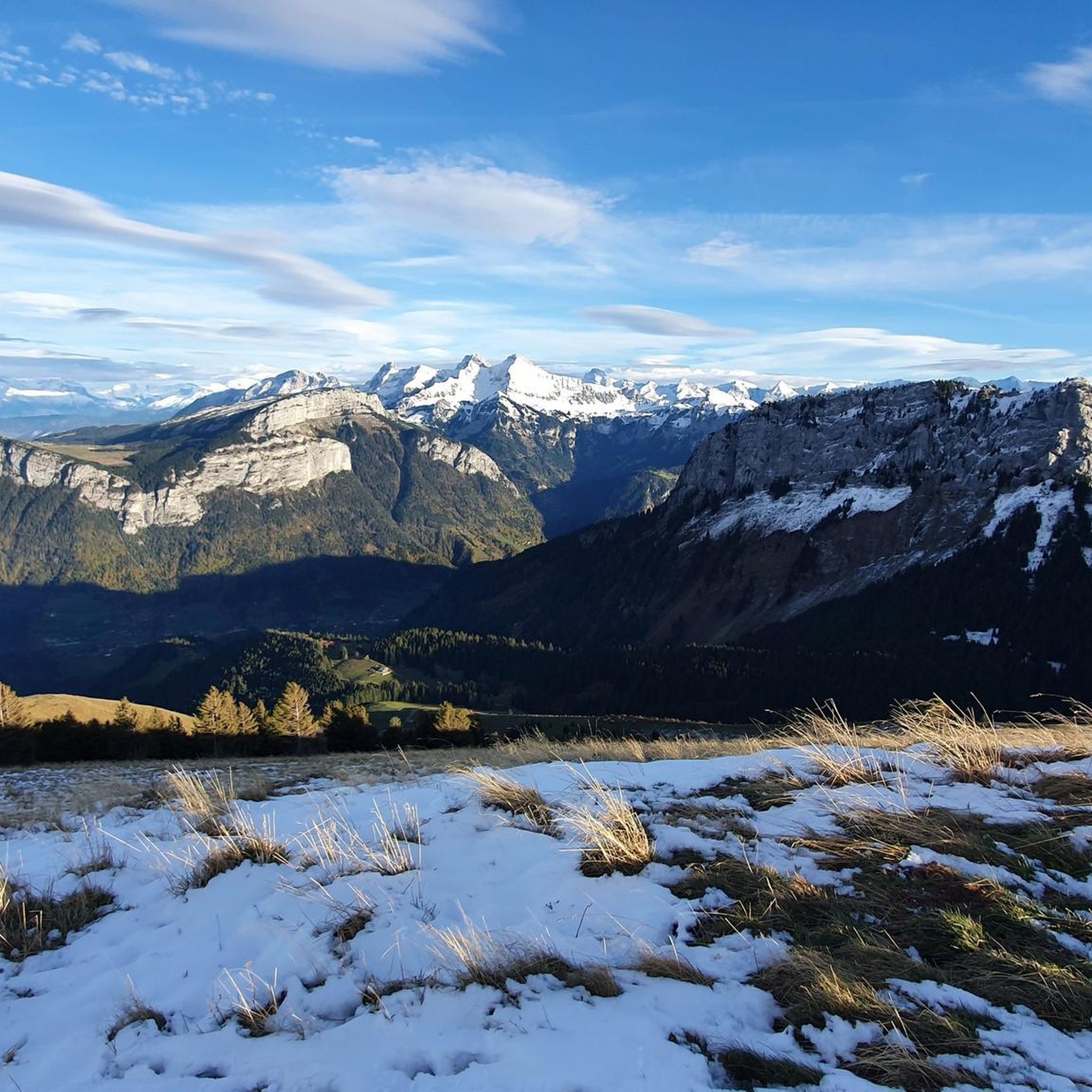
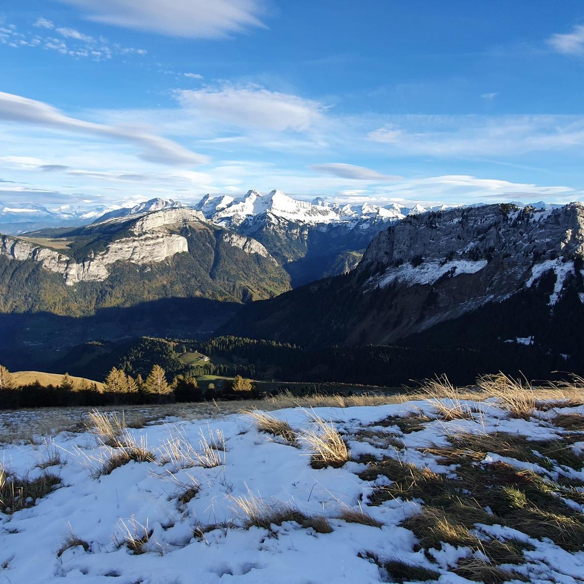
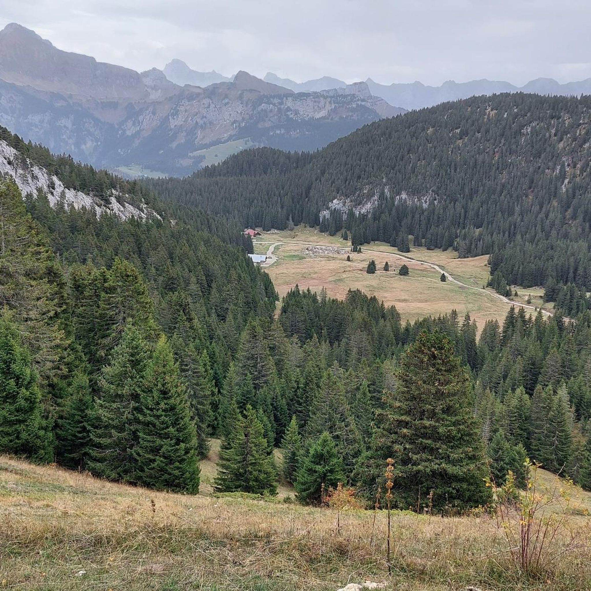
The region around Saint-Laurent is characterized by mountainous terrain with significant elevation changes. Riders can expect to navigate through gorges, natural passes, and potentially forested sections, offering varied technical challenges and scenic views.
Are there challenging mountain bike trails for experienced riders in Saint-Laurent?
Absolutely. Saint-Laurent features around 37 difficult mountain bike trails. For instance, the Tour of Sous Dîne is a demanding 15.8-mile route with significant climbs and descents. Another challenging option is the Tour of Sous Dine – Enclave Pass loop from Montisel, which covers over 20 km with substantial elevation gain.
What are the typical distances for mountain bike trails in Saint-Laurent?
Trail distances vary significantly. Many routes fall into the moderate to difficult category, often ranging from 13 to 18 miles (21 to 29 km). For example, the Route des gorges de la borne – Orange loop from Saint-Pierre-en-Faucigny is about 13.6 miles (21.9 km).
What can I see along the mountain bike trails in Saint-Laurent?
Many trails offer access to stunning natural landmarks. You might encounter impressive mountain passes like Glières Pass or Col de la Colombière. There are also beautiful lakes such as Lessy lake and Lac Bénit, and viewpoints like Pas du Roc viewpoint.
Are there loop mountain bike trails in Saint-Laurent?
Yes, many mountain bike trails in Saint-Laurent are designed as loops, offering a convenient way to start and end your ride in the same location. An example is the Orange loop – Tour of Sous Dine loop from Saint-Pierre-en-Faucigny, a 13.4-mile route.
What do other mountain bikers enjoy the most about mountain biking in Saint-Laurent?
The mountain bike trails in Saint-Laurent are highly rated by the komoot community, with an average score of 4.2 stars from over 250 reviews. Riders often praise the diverse mountainous terrain, the challenging climbs and descents, and the scenic beauty of the gorges and natural passes.
What is the best time of year to go mountain biking in Saint-Laurent?
Given the mountainous terrain, the best time for mountain biking in Saint-Laurent is typically from late spring through early autumn (May to October) when the weather is milder and trails are clear of snow. Always check local weather conditions before heading out.
Where do mountain bike trails typically start in Saint-Laurent?
Many mountain bike routes in Saint-Laurent, especially those exploring the Sous Dîne area, often start from nearby villages such as Saint-Pierre-en-Faucigny or Montisel. These locations usually offer convenient access to trailheads.
Are there any specific routes that feature the gorges in Saint-Laurent?
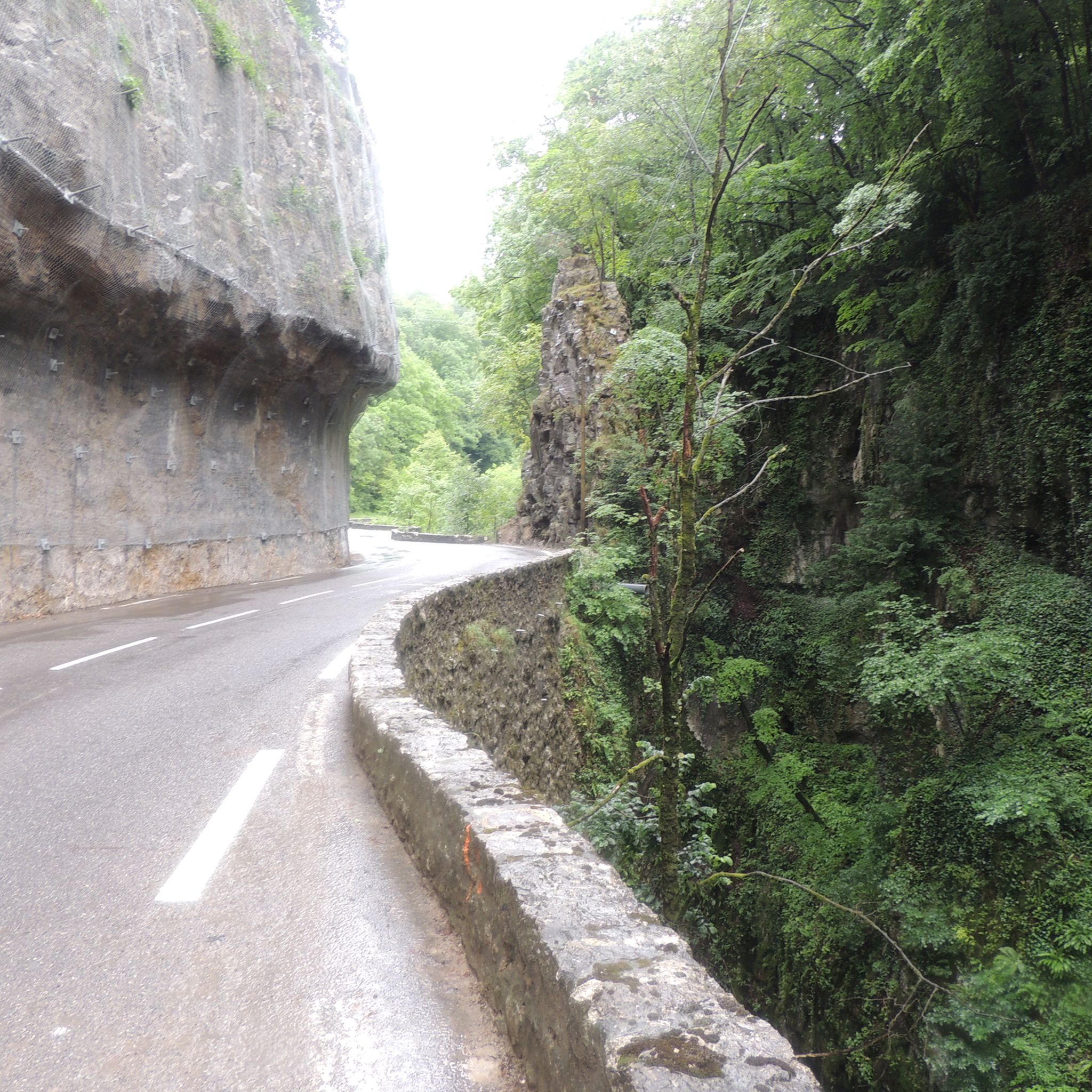
Yes, the region is known for its gorges. The Tour of Sous Dine – Route des gorges de la borne loop from Saint-Pierre-en-Faucigny is a difficult 17.7-mile trail specifically designed to take you through the challenging sections of the Gorges de la Borne.
Most popular routes around Saint-Laurent
Most popular attractions around Saint-Laurent

Get inspired with the komoot mobile app


Explore more
Browse the best MTB trails in other regions.
