The best MTB trails around Saint-Franc
4.4
(205)
1,068
riders
110
rides
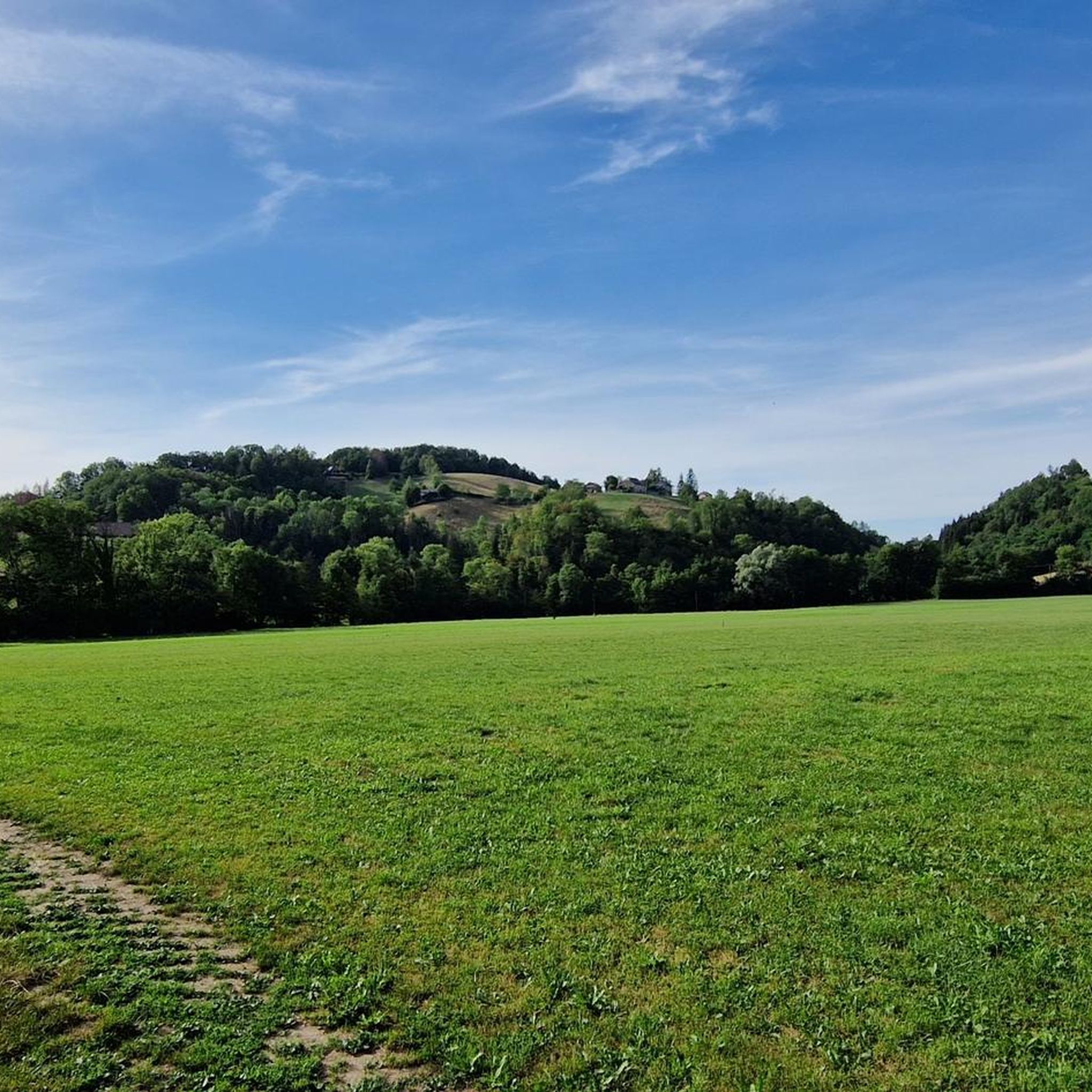
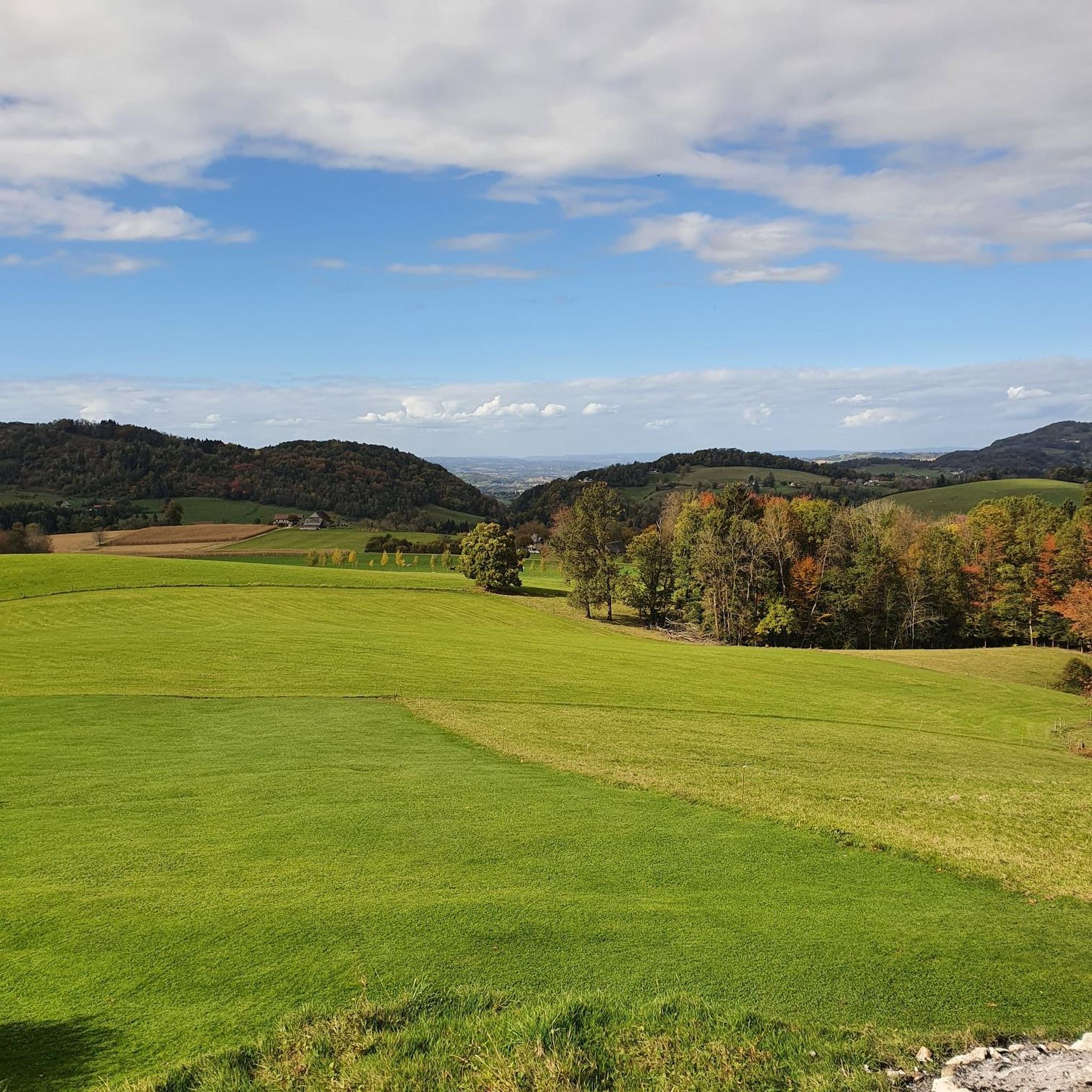
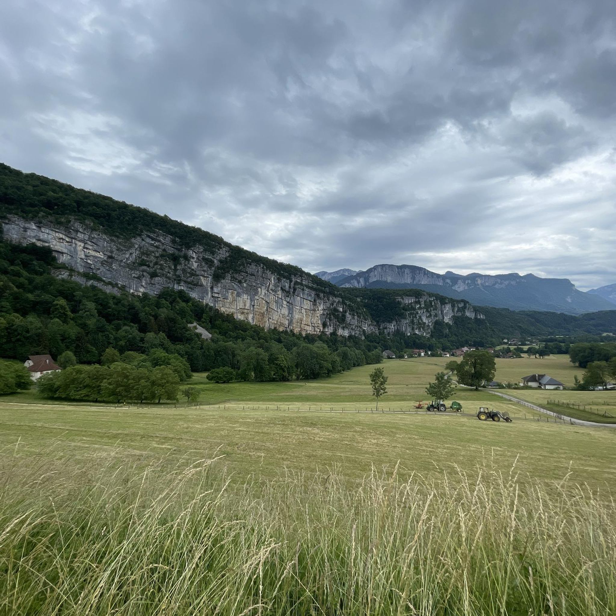
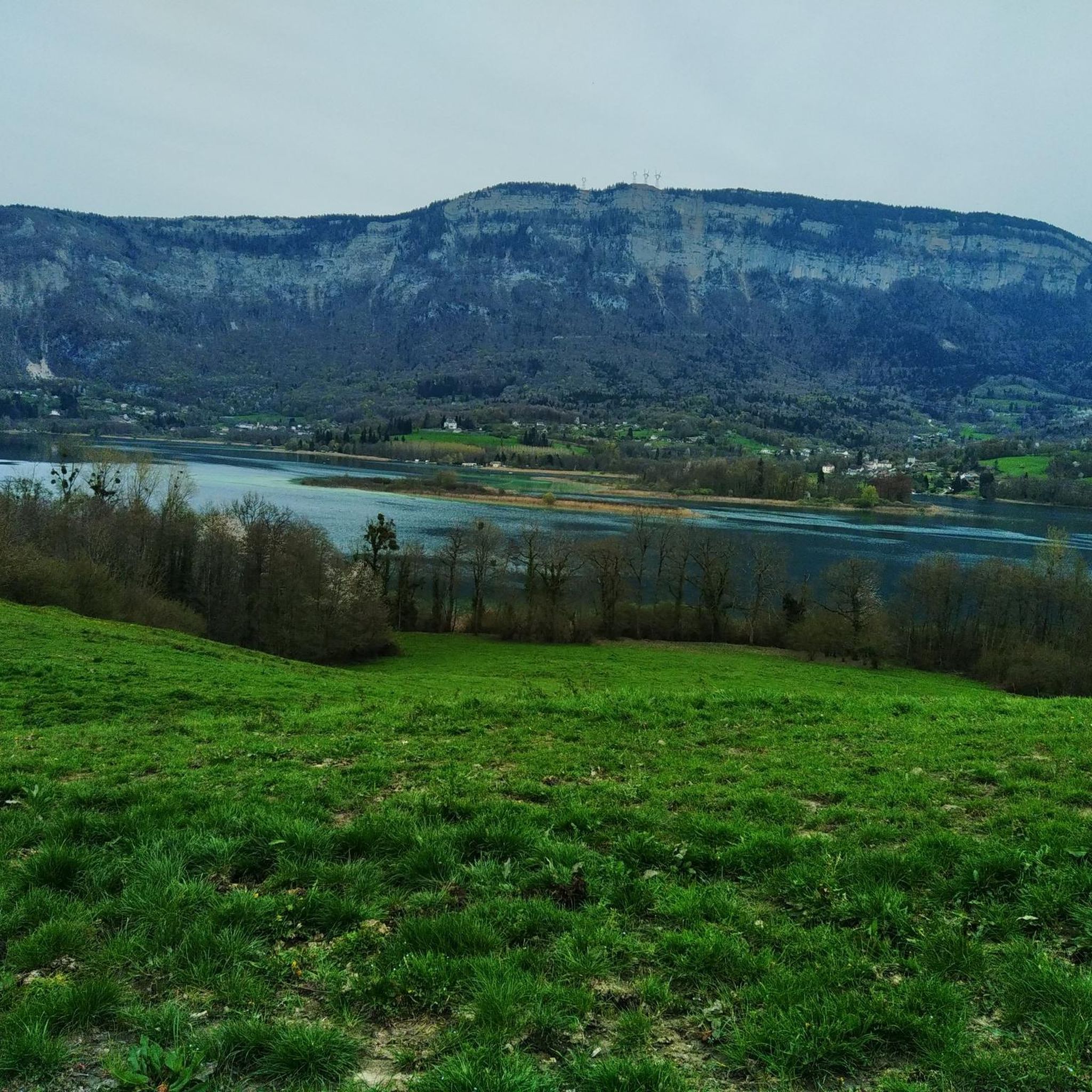
Mountain bike trails Saint-Franc are characterized by varied terrain, including mountain passes and scenic lake areas. The region features significant elevation changes, offering routes that traverse both lower valleys and higher points. Mountain bikers can expect to encounter a mix of landscapes, from open areas to sections with natural features like lakes and passes. It is situated near the Chartreuse Massif, known for its rugged limestone cliffs and deep forests.
Best mountain bike trails around Saint-Franc
- The most popular mountain…
Last updated: July 1, 2026
4.7
(25)
146
riders
45.2km
03:28
720m
720m
Moderate mountain bike ride. Good fitness required. Suitable for all skill levels.
4.4
(13)
96
riders
40.3km
03:41
870m
870m
Hard mountain bike ride. Good fitness required. Advanced riding skills necessary. Some portions of the route may require you to push your bike.

Sign up for free
4.5
(6)
50
riders
Moderate mountain bike ride. Good fitness required. Suitable for all skill levels.
4.3
(8)
30
riders
31.1km
02:20
610m
610m
Moderate mountain bike ride. Good fitness required. Suitable for all skill levels.
5.0
(2)
31
riders
29.2km
01:58
410m
410m
Moderate mountain bike ride. Good fitness required. Suitable for all skill levels.
Get access to more routes and recommendations from other explorers.
Sign up for free
Already have an account?
Our route recommendations are based on thousands of hikes, rides, and runs completed by other people on komoot.
Start today with a free account
Your next adventure awaits.
Login or Signup
Tips from the Community


A very quiet and pleasant road. On the Chambéry side, a good part is in the shade, the slope of the main road is rather constant around 7-8%. On the Novalaise side, the mineral aspect with the cliff is more present in the middle of the climb. This side is quite steep with kilometers at 8-9%. On each side, 1 belvedere offers a breathtaking view of Lake Aiguebelette (approx. 2 km from the summit) and on the other side of Chambéry, the Bauges, Belledonne, the Chartreuse (500 m from the summit). The summit is in the forest.
1
0

The lookout is too overgrown. You can hardly see the lake anymore! What a shame!
0
1

Leaving from Chambery, the beginning hurts a little, but the rest is quite good
0
1
There is a mistake about the valleys!
2
0


Pass without too much traffic. Quite steep start to reach Saint Sulpice, the rest is rather regular. The pass is closed in winter
2
0

Unmissable “road cycling” of the Col de l'Épine located at an altitude of 990 m.
1
0
Frequently Asked Questions
How many mountain bike trails are available around Saint-Franc?
There are over 100 mountain bike routes around Saint-Franc. These include 13 easy, 50 moderate, and 43 difficult trails, offering a wide range of options for different skill levels.
What kind of terrain can I expect on mountain bike trails near Saint-Franc?
Mountain bike trails around Saint-Franc feature varied terrain, including mountain passes and scenic lake areas. You can expect significant elevation changes, traversing both lower valleys and higher points, with a mix of open landscapes and natural features like lakes.
Are there mountain bike trails suitable for beginners in Saint-Franc?
Yes, Saint-Franc offers 13 easy mountain bike trails. A good option for a more relaxed ride is the Lake Aiguebelette Green Route loop from La Bridoire, which is a moderate 16.0 miles (25.8 km) path following the scenic shores of Lake Aiguebelette.
What are some challenging mountain bike trails around Saint-Franc?
For experienced riders seeking a challenge, there are 43 difficult trails. The Col de l'Épine from Novalaise – Belvédère du Col de l'Épine loop from Lépin le Lac - La Bauche is a difficult 24.1 miles (38.8 km) route with significant elevation gain, leading through mountain passes and offering panoramic viewpoints.
What natural features or landmarks can I see while mountain biking around Saint-Franc?
Many trails offer views of natural landmarks. You can encounter the beautiful Lac d'Aiguebelette, ride through areas near Épine Pass and Col du Banchet, or even pass by unique spots like François I's Cave.
Are there any mountain bike routes that offer lake views?
Yes, several routes provide stunning lake views. The Lake Aiguebelette Green Route loop from La Bridoire is specifically designed to follow the scenic shores of Lac d'Aiguebelette, offering a pleasant ride through green landscapes.
Are there any circular mountain bike routes in the Saint-Franc area?
Yes, many routes are designed as loops. For example, the popular Crusille Pass (573 m) – Col du Banchet loop from Lépin le Lac - La Bauche is a 28.1 miles (45.2 km) circular trail that features two notable mountain passes.
What do other mountain bikers say about the trails in Saint-Franc?
The mountain bike trails around Saint-Franc are highly rated by the komoot community, with an average score of 4.4 stars from over 250 reviews. Riders often praise the varied terrain, scenic lake views, and the challenging yet rewarding mountain passes.
Are there any routes that combine mountain passes and lake views?
Absolutely. The Lac d'Aiguebelette – View from the Col du Banchet loop from Lépin le Lac - La Bauche is a moderate 29.9 miles (48.2 km) route that offers both beautiful views of Lac d'Aiguebelette and the experience of riding near Col du Banchet.
What is the typical duration for mountain bike rides in Saint-Franc?
Ride durations vary significantly depending on the trail's length and difficulty. For instance, a moderate route like the Lake Aiguebelette Green Route loop from La Bridoire typically takes around 1 hour 42 minutes, while a longer, more challenging trail such as the Crusille Pass (573 m) – Col du Banchet loop from Lépin le Lac - La Bauche can take approximately 3 hours 27 minutes.
Are there any trails that start near Le Pont-de-Beauvoisin?
Yes, the Le Pont-de-Beauvoisin – Col du Banchet loop from Lépin le Lac - La Bauche is a moderate 31.0 miles (49.9 km) route that begins in the vicinity of Le Pont-de-Beauvoisin, offering a loop that includes the Col du Banchet.
Most popular routes around Saint-Franc
Most popular attractions around Saint-Franc

Get inspired with the komoot mobile app


Explore more
Browse the best MTB trails in other regions.
