The best cycling routes around Saint-Jean-D'Avelanne
4.3
(323)
2,895
riders
165
rides
Touring cycling around Saint-Jean-D'Avelanne offers routes through diverse landscapes, including green fields, rolling hills, and agricultural areas. The region features the Vallons du Guiers, providing views of the Valdaine valley and the Chartreuse mountain range. Terrain often includes splendid plains and routes along lakes, such as Lac de Paladru, with many surfaces being paved and having minimal elevation changes.
Best touring cycling routes around Saint-Jean-D'Avelanne
- The most popular touring cycling route is View of Lake Aiguebelette loop from Le Pont-de-Beauvoisin…
Last updated: October 4, 2026
28
riders
23.5km
01:37
350m
350m
Moderate bike ride. Good fitness required. Mostly paved surfaces. Suitable for all skill levels.
4.5
(2)
17
riders
33.9km
02:35
840m
840m
Hard bike ride. Very good fitness required. Mostly paved surfaces. Suitable for all skill levels.

12
riders
43.2km
03:01
730m
730m
Hard bike ride. Very good fitness required. Mostly paved surfaces. Suitable for all skill levels.
5.0
(1)
11
riders
Hard bike ride. Very good fitness required. Mostly paved surfaces. Suitable for all skill levels.
11
riders
34.4km
03:02
830m
830m
Hard bike ride. Very good fitness required. Mostly paved surfaces. Suitable for all skill levels.
Get access to more routes and recommendations from other explorers.
Already have an account?
Our route recommendations are based on thousands of hikes, rides, and runs completed by other people on komoot.
Start today with a free account
Your next adventure awaits.


Tips from the Community

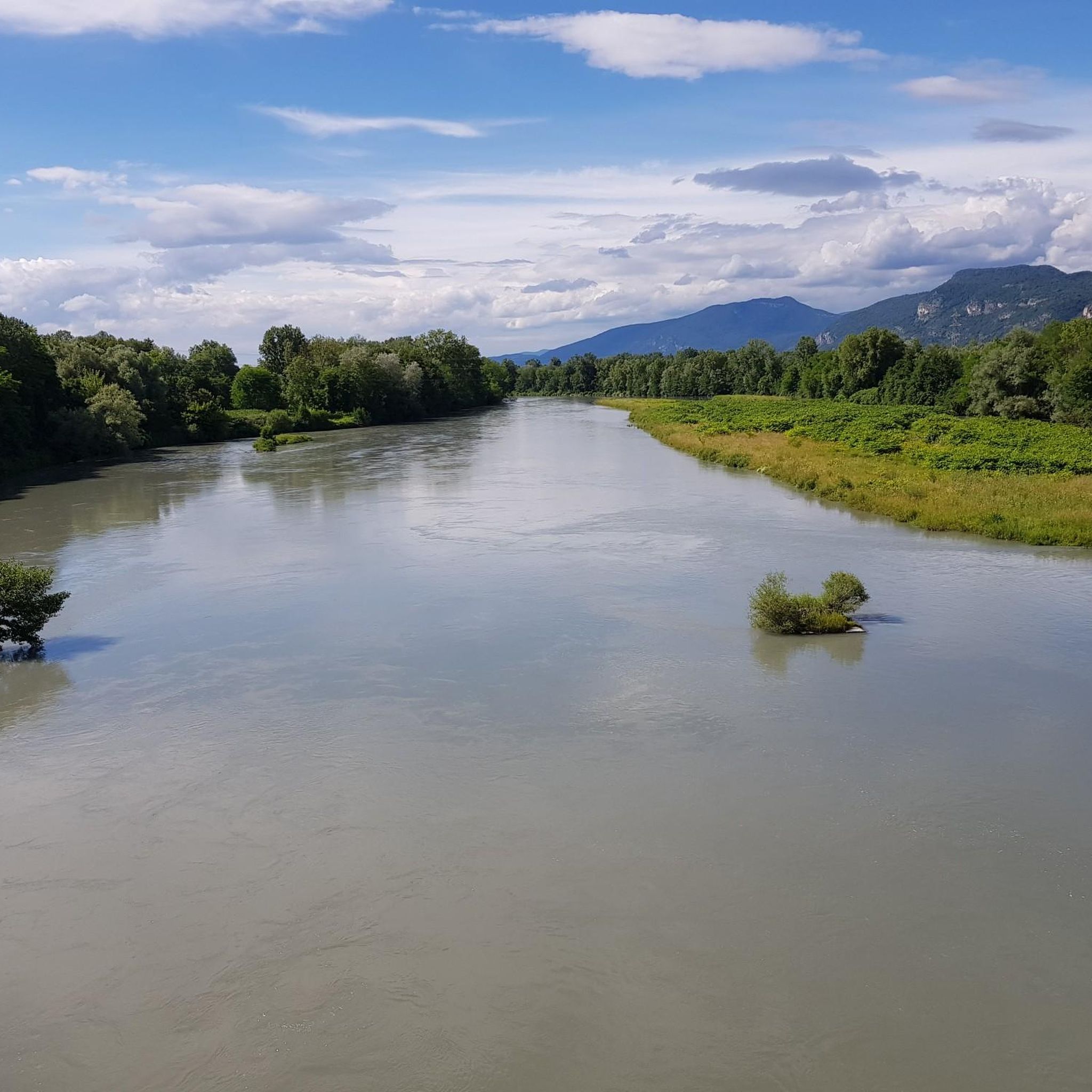
The trail runs along the Guiers river to its confluence with the Rhône, on the edge of Savoie.
0
0
The lake of Romagnieu (known as the O'lac leisure center) is a 15-hectare artificial body of water renowned for relaxation, outdoor recreation, and water activities.
0
0
For a long time, this bridge marked the political border between the Kingdom of France (Dauphiné side) and the States of Savoy. In 1822, a border stone (stone no. 5) had been set in its center to demarcate the two territories. This historic stone has since been moved to the Place des Tilleuls in the village, where it serves as a fountain.
0
0

Beautiful views of the blue lake
0
0
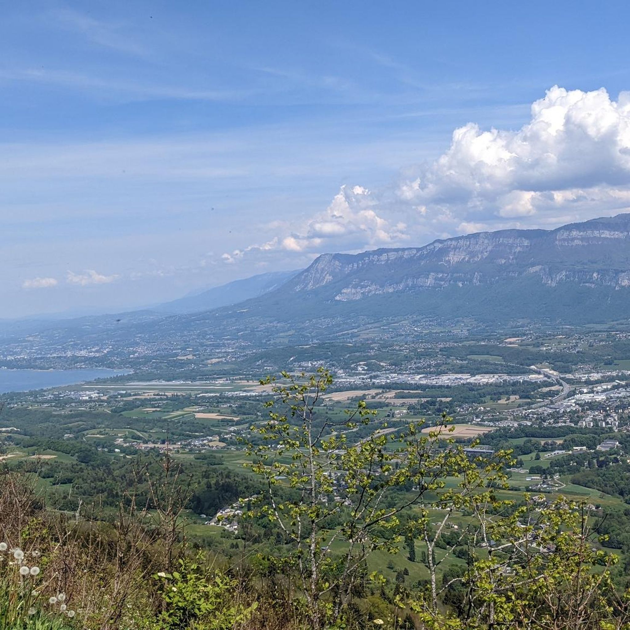
Beautiful views down from this serpentine road perfect for cycling
0
0
Beautiful views when climbing the road to Saint-Franc, just below the highest point of the climb
0
0


Frequently Asked Questions
How many touring cycling routes are available in Saint-Jean-D'Avelanne?
There are over 170 touring cycling routes around Saint-Jean-D'Avelanne, offering a wide variety of options for different skill levels and preferences. These routes are highly rated by the komoot community, with an average score of 4.3 stars from more than 350 reviews.
What kind of terrain can I expect on touring cycling routes around Saint-Jean-D'Avelanne?
The region offers diverse landscapes, from green fields and rolling hills to agricultural areas and views of distant mountains like the Chartreuse range. Many routes feature splendid plains and paths along lakes, such as Lac de Paladru. Surfaces are mostly paved, making them ideal for touring bicycles, with options ranging from minimal elevation changes to more challenging climbs.
Are there easy touring cycling routes suitable for beginners or families?
Yes, Saint-Jean-D'Avelanne offers 10 easy touring cycling routes perfect for beginners or family outings. These routes typically feature minimal elevation changes and pleasant scenery. For a scenic and relatively flat experience, consider exploring sections of La Belle Via, which traverses marshlands and offers views of the Vercors cliffs.
What are some notable landmarks or scenic viewpoints along the cycling routes?
Cyclists can discover several points of interest. The Crusille Pass (573 m) and Col du Banchet offer panoramic views. The Sacré Coeur Monument also serves as a magnificent observation platform. You can also find historical sites like Château de Vaulserre and the old Saint-Jean village. For a natural highlight, the Col du Banchet – Grenan waterfall loop from Le Pont-de-Beauvoisin includes a waterfall.
Can I find circular touring cycling routes in the area?
Yes, many touring cycling routes around Saint-Jean-D'Avelanne are designed as loops. An example is the View of Lake Aiguebelette loop from Le Pont-de-Beauvoisin, which is 23.2 km long and offers beautiful lake views. Another option is the Crusille Pass (573 m) – Col du Banchet loop from Le Pont-de-Beauvoisin, a 43.2 km trail through mountain passes.
Are there challenging touring cycling routes for experienced riders?
Absolutely. For experienced cyclists seeking a challenge, there are 94 difficult touring cycling routes. A demanding option is the Col du Mont Tournier (851 m) – Crusille Pass (573 m) loop from Le Pont-de-Beauvoisin, a 49.6 km route with significant elevation gain. Another challenging route is the Le Pont-de-Beauvoisin – View of Site des Chenevières loop from Le Pont-de-Beauvoisin, which covers 38.5 km through agricultural fields and past traditional houses.
What are the options for parking when cycling in Saint-Jean-D'Avelanne?
While specific parking areas for cyclists are not detailed, Saint-Jean-D'Avelanne and surrounding villages typically offer public parking facilities. It's advisable to check local signage upon arrival for designated parking spots, especially near popular trailheads or village centers.
Is public transport available to access cycling routes?
Information on specific public transport links directly to cycling route access points is limited. However, the Isère region has a public transport network. For detailed information on bus or train services that might connect to areas near cycling routes, it is recommended to consult local transport authorities or regional tourism websites.
Are there any long-distance cycling routes that pass through Saint-Jean-D'Avelanne?
Yes, the Isère region is home to La Belle Via (V62/V63), a significant cycling route that offers a leisurely experience through marshlands and along the Isère River. This route connects to the wider ViaRhôna network and features very little shift in altitude, making it suitable for touring cyclists looking for longer journeys.
Where can I find mountain passes on the touring cycling routes?
The area around Saint-Jean-D'Avelanne features several mountain passes that are popular with touring cyclists. Notable passes include the Col du Banchet, Col des Mille Martyrs, and the Crusille Pass (573 m). Routes like the Crusille Pass (573 m) – Col du Banchet loop specifically incorporate these features.
What do other touring cyclists enjoy the most about cycling in Saint-Jean-D'Avelanne?
The area is highly rated by the komoot community, with an average score of 4.3 stars. Reviewers often praise the diverse landscapes, including green fields, rolling hills, and views of distant mountains. Many appreciate the variety of routes catering to all levels, from easy rides along lakes to more challenging mountain pass climbs, and the generally well-maintained, paved surfaces.
Most popular routes around Saint-Jean-D'Avelanne
Most popular attractions around Saint-Jean-D'Avelanne

Get inspired with the komoot mobile app


Explore more
Browse the best Cycling routes in other regions.
