The best running trails around Allèves
4.4
(178)
15,615
runners
250
runs
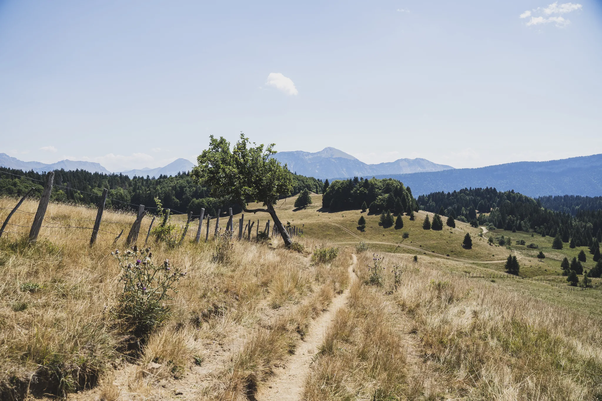
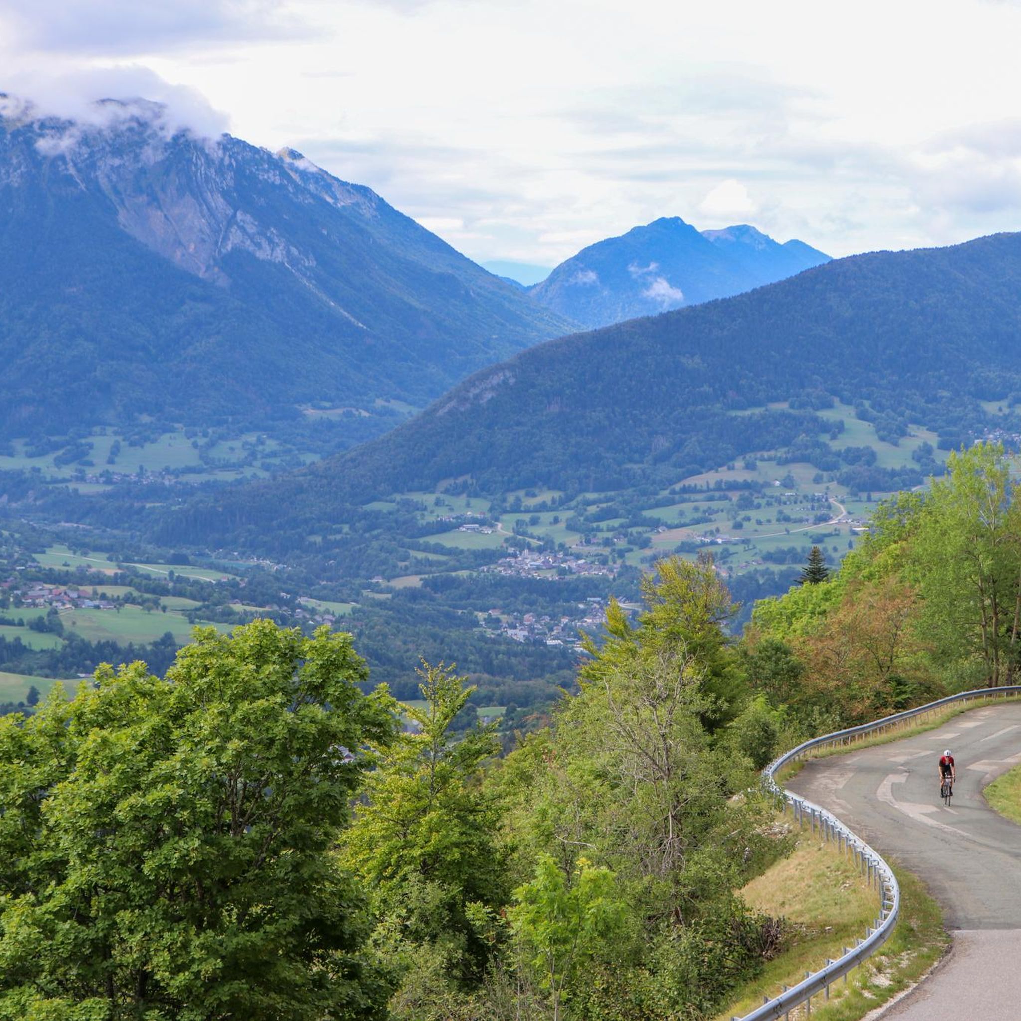
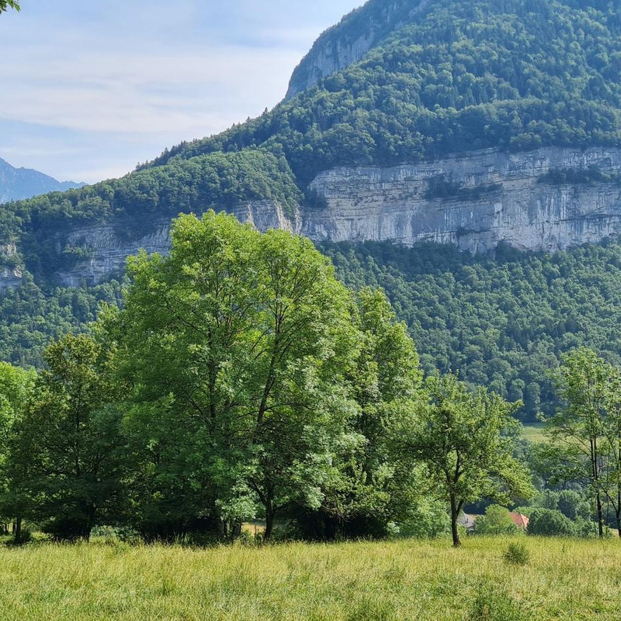
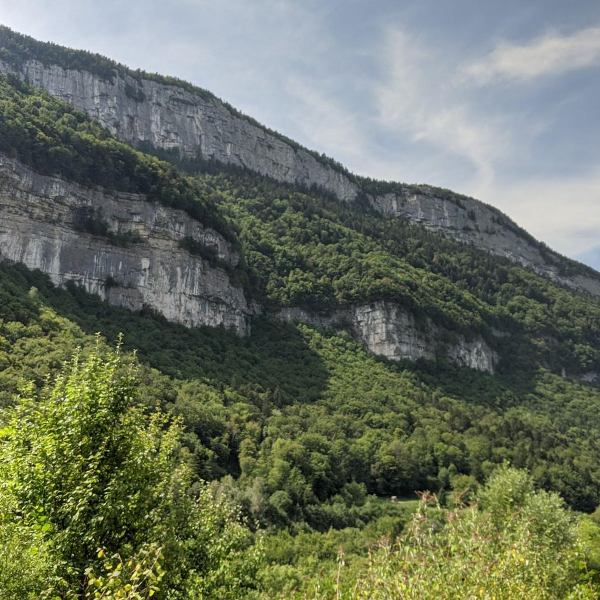
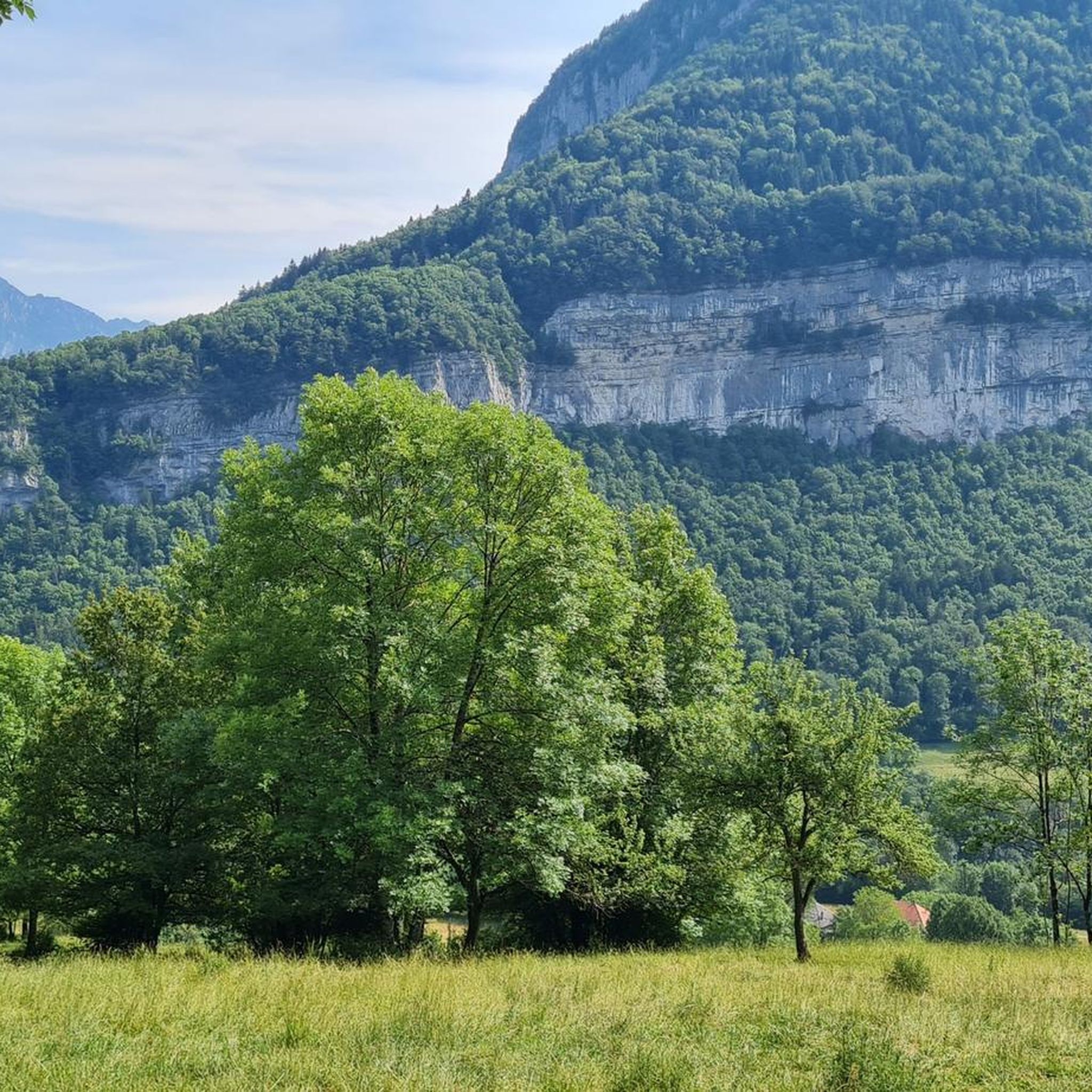
Jogging around Allèves offers diverse running routes within a mountainous commune in Haute-Savoie, France. The region features significant geological formations like the Tours St Jacques and is situated in the Chéran Valley, with the Chéran River forming its southern border. Proximity to the Massif des Bauges Regional Natural Park provides access to varied terrain, including forests and open areas, suitable for trail running. The landscape includes both challenging inclines and more accessible paths, catering to different running preferences.
Best jogging…
Last updated: July 4, 2026
36
runners
8.15km
01:25
620m
610m
Hard run. Very good fitness required. Mostly paved surfaces. Suitable for all skill levels.
20
runners
18.4km
02:51
1,100m
1,110m
Hard run. Very good fitness required. Mostly paved surfaces. Suitable for all skill levels.

Sign up for free
14
runners
5.50km
00:40
120m
110m
Moderate run. Good fitness required. Mostly paved surfaces. Suitable for all skill levels.
11
runners
6.12km
00:47
160m
160m
Moderate run. Good fitness required. Mostly paved surfaces. Suitable for all skill levels.
12
runners
5.88km
00:50
270m
270m
Moderate run. Good fitness required. Mostly paved surfaces. Suitable for all skill levels.
Get access to more routes and recommendations from other explorers.
Sign up for free
Already have an account?
Our route recommendations are based on thousands of hikes, rides, and runs completed by other people on komoot.
Start today with a free account
Your next adventure awaits.
Login or Signup


Other adventures around Allèves

Tips from the Community

Ancient Roman road in the direction of Semnoz
0
0
A sumptuous panorama of Mont-Blanc
0
0
Long and difficult but a great reward at the end
0
0

Highest point of Semnoz. Amazing views of Alps and surrounding countryside
0
0

Calm at altitude... On site, you will find hikers, cows, fresh air, grass, nature, parking lots and cyclists. Everything is there to relax and recharge your batteries. By respecting the signs regarding bicycles, the dangers of cows, the pedestrian routes, the mountain will be for everyone. A panoramic view of the area offers 360 degrees of beauty via a hike. Numerous on-site parking. Trail running here is great with multiple down and up hills through the forest. 👌
1
0

wide view, with a good view you can see Mont Blanc.
0
1

Wonderful view of the lake, nestled at the foot of the Dent du Chat. From the other side of the Crêt de l'Aigle you can see Mont Blanc.
0
0

Small spring located above the refuge, space to make a campfire
0
0
Frequently Asked Questions
How many running routes are available around Allèves?
Allèves offers a wide selection of running routes, with over 240 trails available. These range from easy paths to more challenging mountain runs, catering to various fitness levels.
What kind of terrain can I expect on jogging trails in Allèves?
You'll find diverse terrain, from the flatter, more accessible paths along the Chéran Valley to challenging inclines and descents around geological features like the Tours St Jacques. Many trails are within the Massif des Bauges Regional Natural Park, offering a mix of forest paths and open mountainous areas.
Are there any easy or beginner-friendly jogging routes in the area?
Yes, while many routes are moderate to difficult, there are 14 easy running trails available. For a less strenuous option with natural beauty, consider the Running loop from Pont de l'Abîme, which follows the Chéran River.
What are some challenging running routes for experienced trail runners?
For experienced runners seeking a challenge, Allèves has 90 difficult routes. The Crêt de Châtillon Summit – Semnoz Refuge loop from Leschaux is a popular difficult trail offering significant elevation changes and panoramic views. Another demanding option is the Chemin de la Figlia – La Figlia Refuge loop from Allèves, known for its notable elevation gain.
Can I find circular running routes around Allèves?
Yes, many of the running routes in Allèves are designed as loops, allowing you to start and finish at the same point. Examples include the Crêt de Châtillon Summit loop from Leschaux, which offers a challenging circular experience.
Are there any interesting landmarks or natural attractions to see while running?
Absolutely. The region is known for its stunning natural features. You can encounter impressive geological formations like the Tours St Jacques. Nearby attractions include the Crêt de Châtillon Summit, offering expansive views, and various viewpoints of Lake Annecy, such as the View of Lake Annecy from Pas de la Cheville.
What do other runners say about the trails in Allèves?
The running routes in Allèves are highly regarded by the komoot community, with an average rating of 4.3 out of 5 stars from over 170 reviews. Runners often praise the diverse terrain, the stunning natural landscapes, and the variety of options for different skill levels.
Is Allèves suitable for family-friendly running or jogging with children?
While many routes involve significant elevation, the Chéran Valley likely offers flatter, more accessible paths that could be suitable for families looking for a less strenuous jog. Look for routes designated as 'easy' for the most family-friendly options.
What is the best time of year for jogging in Allèves?
The Massif des Bauges Regional Natural Park and the surrounding areas offer beautiful conditions for running, particularly in spring and autumn when the weather is milder and the scenery is vibrant. Summer can also be pleasant, especially on shaded forest paths, but be mindful of higher temperatures at midday. Winter running is possible but may require appropriate gear for snow and ice, especially at higher elevations.
Are there places to eat or stay in Allèves after a run?
Allèves is a commune in Haute-Savoie, and while specific amenities like cafes, pubs, or hotels are not detailed in the route information, smaller villages in the French Alps typically offer local establishments for refreshments and accommodation. It's advisable to check local listings for current options.
Are there any long-distance running trails for endurance training?
Yes, for those looking for longer runs, the region offers several options. The Crêt de Châtillon Summit – Semnoz Refuge loop from Allèves is a challenging 18.4 km (11.4 miles) route with over 1100 meters of elevation gain, ideal for endurance training.
Is it possible to reach the jogging routes by public transport?
While specific public transport links directly to trailheads in Allèves are not detailed, the region is generally accessible. For detailed information on public transport options to Allèves and nearby trail starting points, it's recommended to consult local transport authorities or tourist information for the Haute-Savoie department.
Most popular routes around Allèves
Most popular attractions around Allèves

Get inspired with the komoot mobile app


Explore more
Browse the best Running Trails & Routes in other regions.
