The best cycling routes around Ur
4.3
(136)
6,375
riders
245
rides
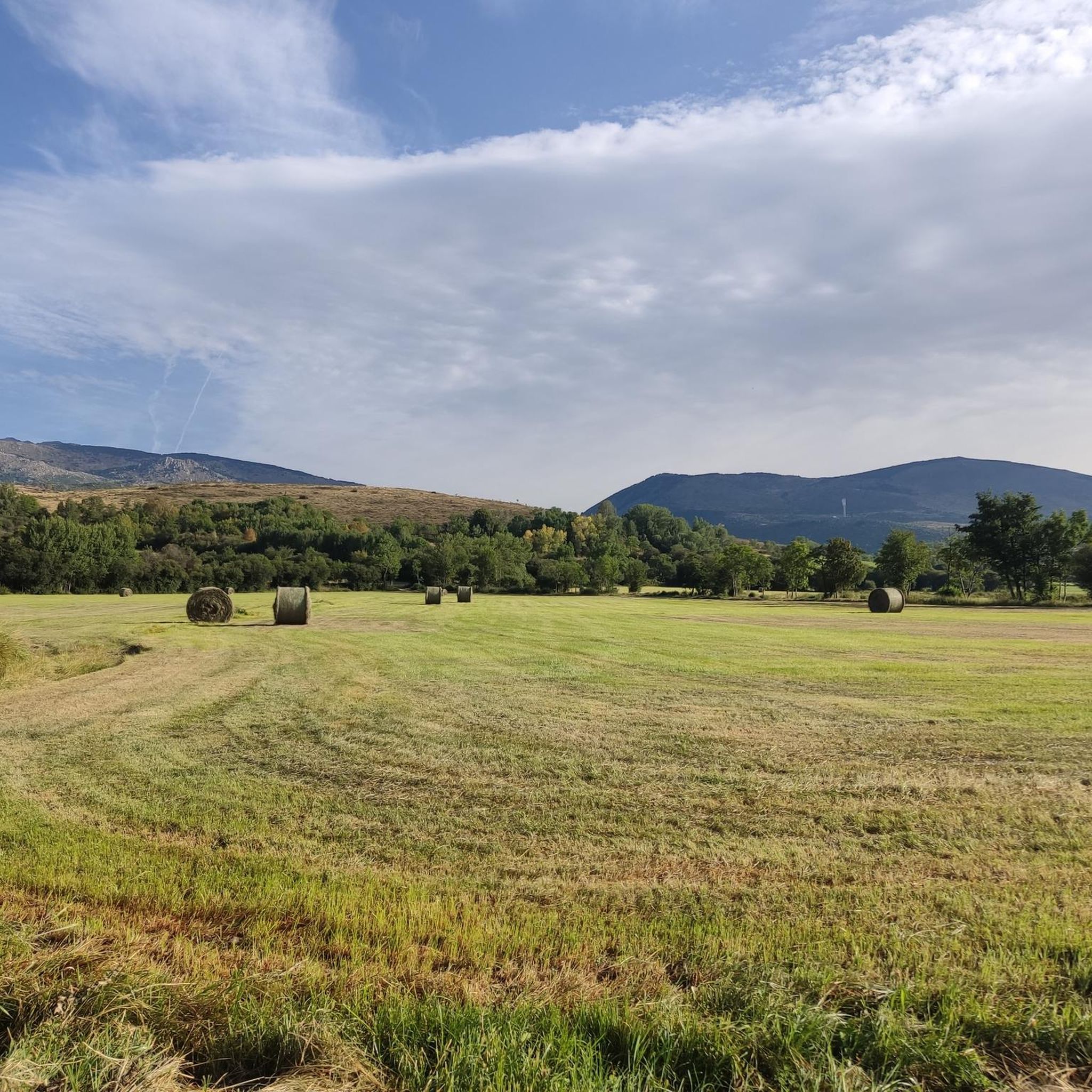
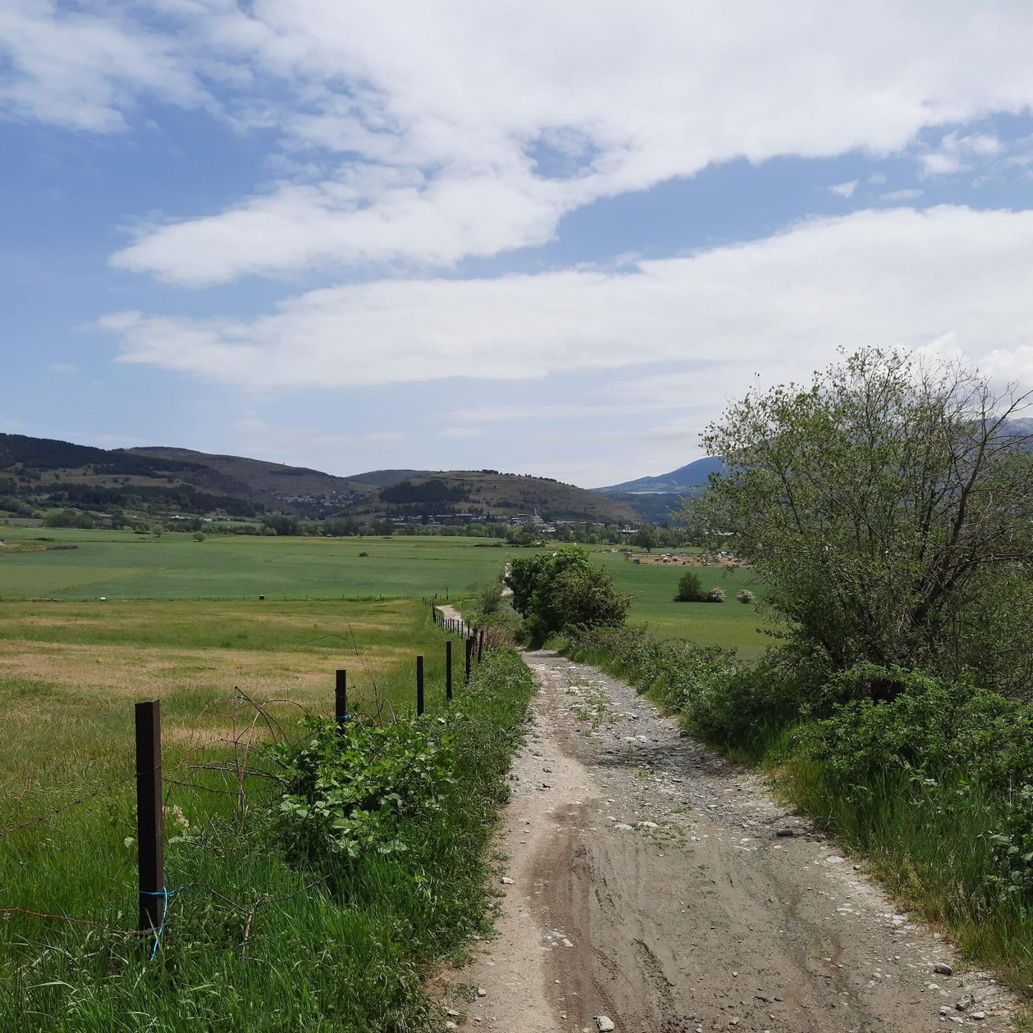
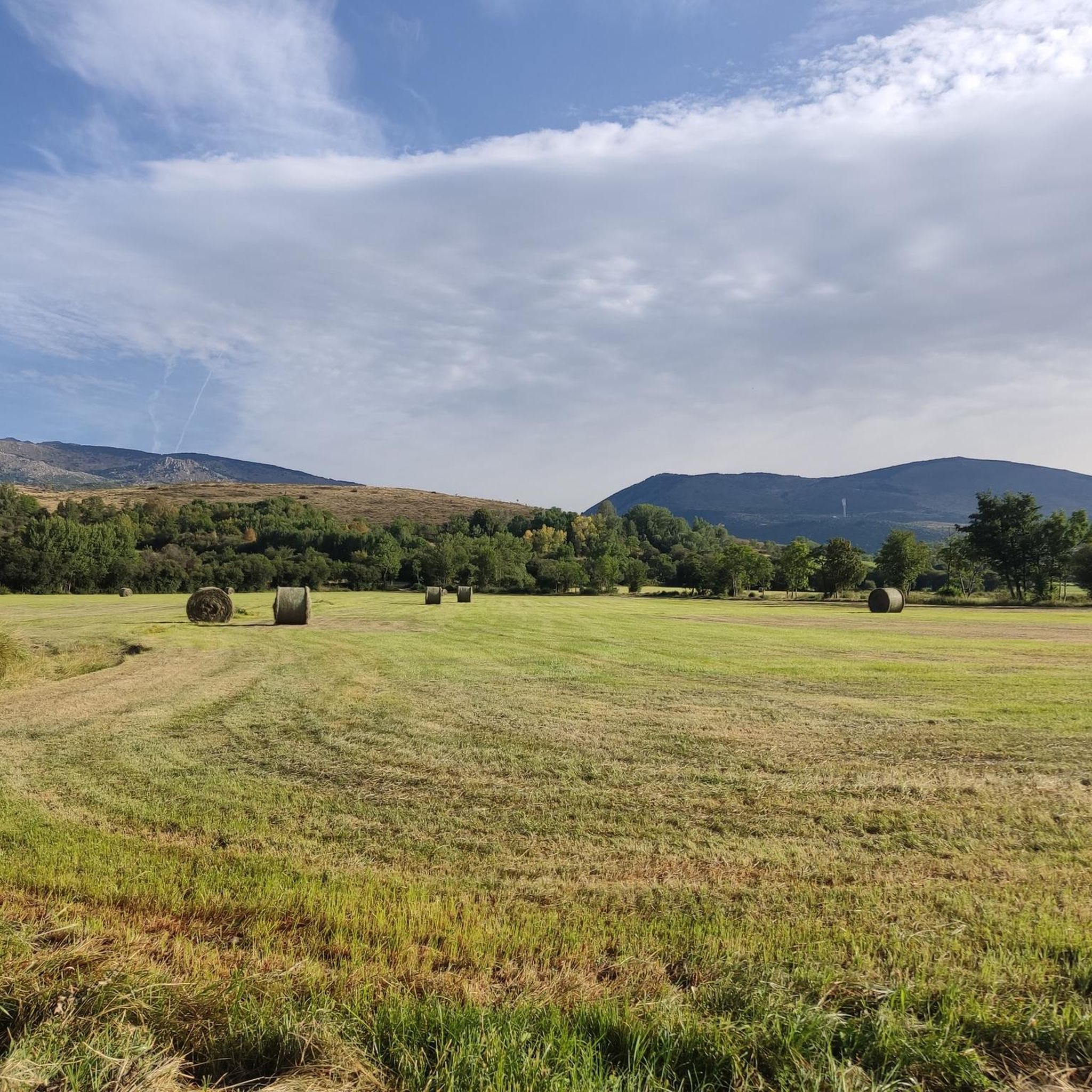
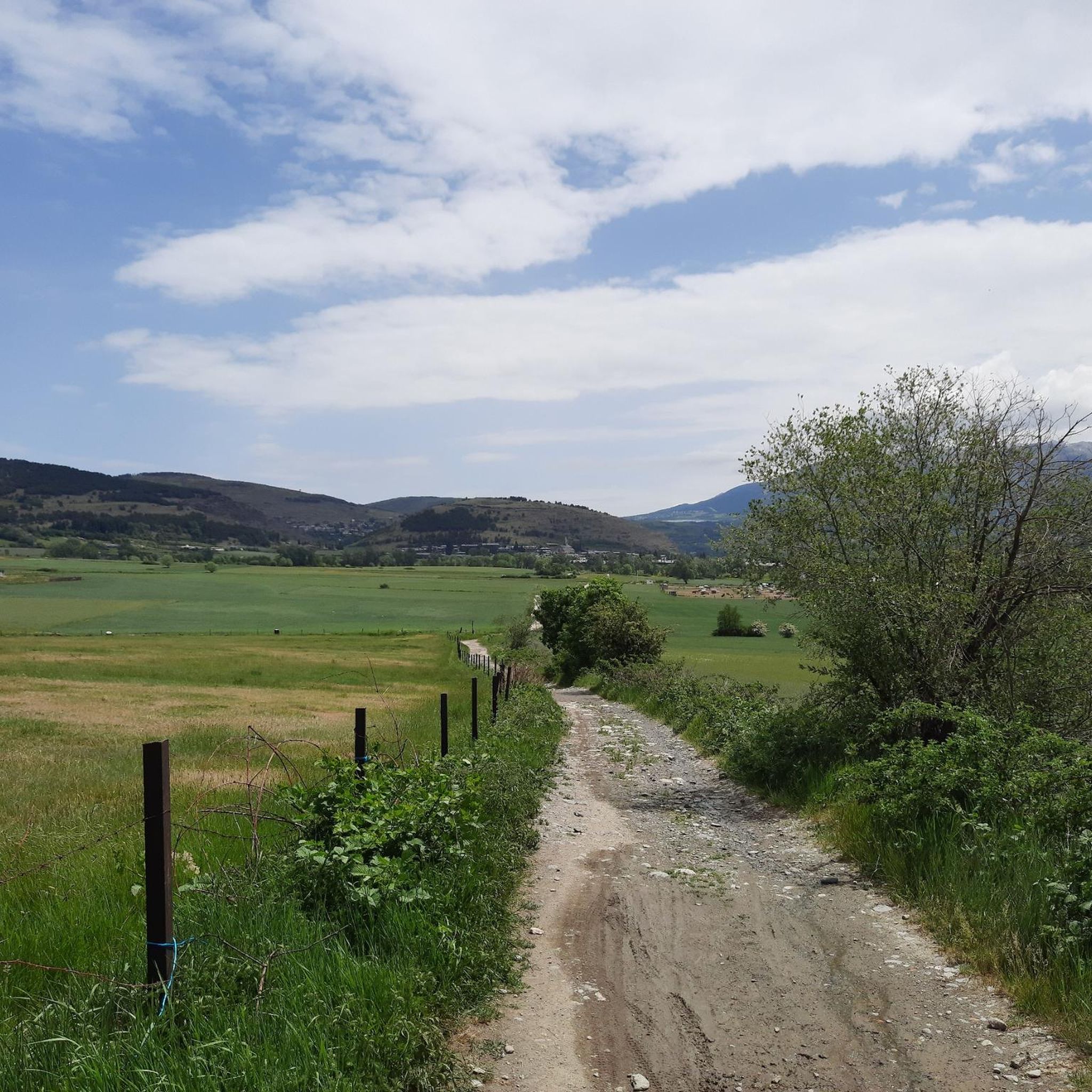
Touring cycling routes around Ur feature mountainous terrain with significant elevation changes, characteristic of the Pyrenees region. The landscape includes high mountain passes, river valleys, and forested areas. Routes often involve sustained climbs and descents, offering views of peaks and alpine environments.
Best touring cycling routes around Ur
- The most popular touring cycling route is Font-Romeu – Col de la Perche (1,579 m) loop from Ur-les-Escaldes, a 27.7 miles (44.5 km) trail that takes 3 hours 3 minutes to…
Last updated: August 22, 2026
4.3
(3)
228
riders
Hard bike ride. Very good fitness required. Mostly paved surfaces. Suitable for all skill levels.
41
riders
48.3km
04:24
1,210m
1,210m
Hard bike ride. Very good fitness required. You may need to push your bike for some segments of this route.

Sign up for free
4.0
(1)
12
riders
38.1km
03:00
780m
780m
Hard bike ride. Very good fitness required. You may need to push your bike for some segments of this route.
3.0
(1)
19
riders
33.3km
02:15
280m
280m
Moderate bike ride. Good fitness required. Mostly paved surfaces. Suitable for all skill levels.
5.0
(1)
10
riders
Moderate bike ride. Good fitness required. Mostly paved surfaces. Suitable for all skill levels.
Get access to more routes and recommendations from other explorers.
Sign up for free
Already have an account?
Our route recommendations are based on thousands of hikes, rides, and runs completed by other people on komoot.
Start today with a free account
Your next adventure awaits.
Login or Signup

Tips from the Community

Demanding climb up the Osseja mountain. The place is heavenly and you can do it in one direction or the other, reaching Valcebollere. You have to be prepared but it is achievable at a medium-high level. I encourage you!
0
0

A beautiful Spanish exclave that is worth a visit.
1
0


Culminating at 1,579 meters above sea level, the Col de la Perche can be climbed by four routes in total. Each of them includes relatively gentle slopes. At the top, the view of the surrounding area is splendid and rewards your efforts!
0
0

It's probably not the most spectacular pass in the Pyrenees, but it has its charms. Its position, in the middle of the Catalan Pyrenees natural park, makes it a privileged passage for admiring 360° of the mountains, valleys and plains of this protected area. If you pass by, take the time to look around for yourself and enjoy the view.
0
0

Llívia is a municipality located in the Cerdanya region. Geographically it is located in the French state, as a consequence of the Treaty of the Pyrenees of 1659. Located at 1223 meters above sea level, it is crossed by the Segre River. It is the oldest human group in Cerdanya, dating back to the end of the Bronze Age. It was colonized by the Romans at the end of the 1st century BC and due to its particular geographical location, it is right at the most comfortable pass in the Pyrenees, it has had an uninterrupted human presence throughout history, seeing the Visigoth domination pass, Muslim and again Christian.
2
0
Frequently Asked Questions
How many touring cycling routes are available around Ur?
There are over 240 touring cycling routes around Ur, offering a wide range of options for different skill levels. The komoot community has rated these routes highly, with an average score of 4.4 stars.
What kind of terrain can I expect on touring cycling routes in Ur?
Touring cycling routes around Ur feature mountainous terrain with significant elevation changes, characteristic of the Pyrenees region. You'll encounter high mountain passes, river valleys, and forested areas, often involving sustained climbs and descents with views of peaks and alpine environments.
Are there any easy touring cycling routes for beginners in Ur?
Yes, Ur offers options for various ability levels. While many routes are moderate to difficult, there are 31 easy touring cycling routes available, perfect for those new to the area or looking for a more relaxed ride.
What are some notable landmarks or attractions I can see while cycling in Ur?
Along the touring cycling routes, you can discover various points of interest. Highlights include the challenging Col du Calvaire (Font-Romeu), the charming settlement of Llívia, and the scenic Pla de Canters Road. For those seeking natural beauty, look out for the Waterfall of the Montmelús Stream and the ancient Dolmen de Brangolí.
Are there any loop touring cycling routes in Ur?
Yes, many touring cycling routes in Ur are designed as loops, allowing you to start and finish in the same location. An example is the challenging Font-Romeu – Col de la Perche (1,579 m) loop from Ur-les-Escaldes, which includes a significant climb to a mountain pass.
What do other touring cyclists say about the routes in Ur?
The touring cycling routes in Ur are highly rated by the komoot community, with an average score of 4.4 stars from over 110 reviews. Cyclists often praise the challenging climbs, the stunning mountain scenery, and the variety of routes available for different skill levels.
Can you recommend a challenging long-distance touring cycling route in Ur?
For experienced touring cyclists seeking a challenge, the Soler Bridge (Segre River) – Col de la Creueta loop from Estació superior is a difficult 41.4-mile (66.6 km) path. This route features a substantial ascent through varied mountain scenery, making it a rewarding experience.
Are there any routes that pass through high mountain terrain?
Absolutely. The Coma Morera Summit – Downhill Trail of Osseja loop from Estació inferior is a 28.5-mile (45.9 km) trail that leads through high mountain terrain, offering spectacular views and a significant elevation gain.
What is the best time of year for touring cycling in Ur?
Given the mountainous terrain and high passes, the best time for touring cycling in Ur is typically during the warmer months, from late spring to early autumn, when the weather is more stable and passes are clear of snow. Always check local weather conditions before heading out.
Are there any routes that offer views of ski stations or high-altitude refuges?
Yes, the Refugi de la Feixa (2,160 m) – Ski station viewpoint loop from Estació superior is a route that takes you past a high-altitude refuge and offers views towards a ski station, providing a unique perspective of the alpine landscape.
Is there a route connecting Llívia with Ur?
Yes, you can explore the connection between these two locations. The Path from Llivia to Ur – Puigcerdá CP2 of The Capitals loop from Llívia is a challenging route that links Llívia with Ur, offering a journey through the local landscape.
Most popular attractions around Ur

Get inspired with the komoot mobile app


Explore more
Browse the best Cycling routes in other regions.
